The best MTB trails around Untervaz
4.5
(3745)
22,662
riders
283
rides
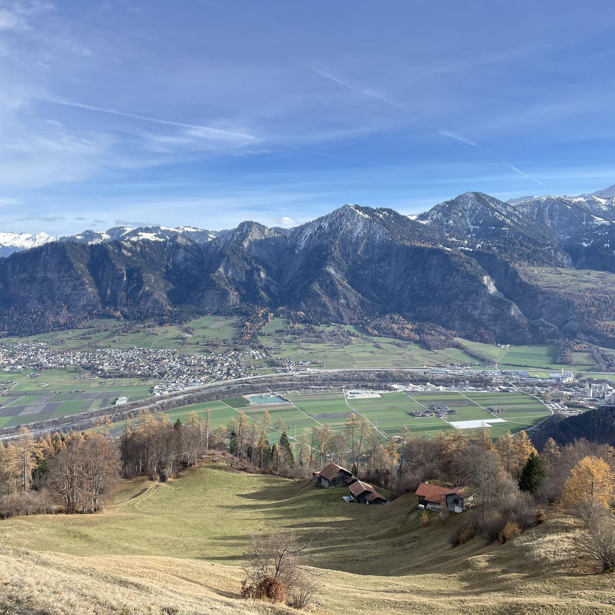
Mountain biking around Untervaz, situated in the Graubünden Rhine Valley, offers diverse landscapes for riders. The region is characterized by its position at the foot of the imposing Calanda mountain, with the Haldensteiner Calanda reaching over 2800 meters above sea level. Trails often wind through forests and meadows, leading to alpine areas and providing views of the Chur Rhine Valley and surrounding mountains like the Rätikon formations. The terrain includes both moderate paths and more demanding routes with significant elevation…
Last updated: October 13, 2026
4.6
(36)
211
riders
28.7km
02:30
690m
690m
Moderate mountain bike ride. Good fitness required. Suitable for all skill levels.
4.6
(26)
140
riders
23.2km
02:17
670m
670m
Hard mountain bike ride. Good fitness required. Advanced riding skills necessary. Some portions of the route may require you to push your bike.

4.5
(17)
112
riders
41.2km
03:00
590m
590m
Moderate mountain bike ride. Good fitness required. Suitable for all skill levels.
4.1
(7)
81
riders
25.3km
01:36
130m
130m
Moderate mountain bike ride. Great for any fitness level. Advanced riding skills necessary.
4.5
(10)
126
riders
26.4km
02:24
840m
840m
Moderate mountain bike ride. Good fitness required. Suitable for all skill levels.
Get access to more routes and recommendations from other explorers.
Already have an account?
Our route recommendations are based on thousands of hikes, rides, and runs completed by other people on komoot.
Start today with a free account
Your next adventure awaits.
Tips from the Community

Mostly narrow flat trail S0.
1
0

But be careful: the bridge is barely a meter wide!
0
0

Also recommended in winter
0
0

Connection between Untervaz and Zizers. The footbridge is closed to traffic, so you have to push your bike.
1
0


The castle garden is especially beautiful when the roses are in bloom 🌹
1
0

Cool wooden bridge over the Maschänserrüfi.
1
0
Frequently Asked Questions
How many mountain bike trails are available in Untervaz?
Untervaz offers a wide selection of mountain bike routes, with over 285 trails recorded on komoot. These routes cater to various skill levels, including 40 easy, 123 moderate, and 122 difficult options.
What are the typical difficulty levels of mountain bike trails around Untervaz?
The mountain bike trails around Untervaz range from moderate paths to more demanding routes. You'll find a good mix, with 40 easy trails, 123 moderate trails, and 122 difficult trails, ensuring options for different fitness and skill levels. For example, the View of Chur from Mittenberg – Bridge over the Maschänserrüfi loop from Untervaz-Trimmis is a moderate route, while the Neuenburg Castle Ruins – Lichtenstein Castle Ruins loop from Zizers is considered difficult.
Are there any family-friendly mountain bike trails in Untervaz?
While specific family-friendly routes are not detailed in the provided data, the region does offer a variety of trails, including 40 easy routes. The 'Mastrils - Untervaz Multi Trail' is mentioned as a family-friendly singletrack in the region research, suggesting there are suitable options for families. Look for routes categorized as 'easy' on komoot for the most suitable choices.
What kind of landscapes and natural features can I expect to see while mountain biking in Untervaz?
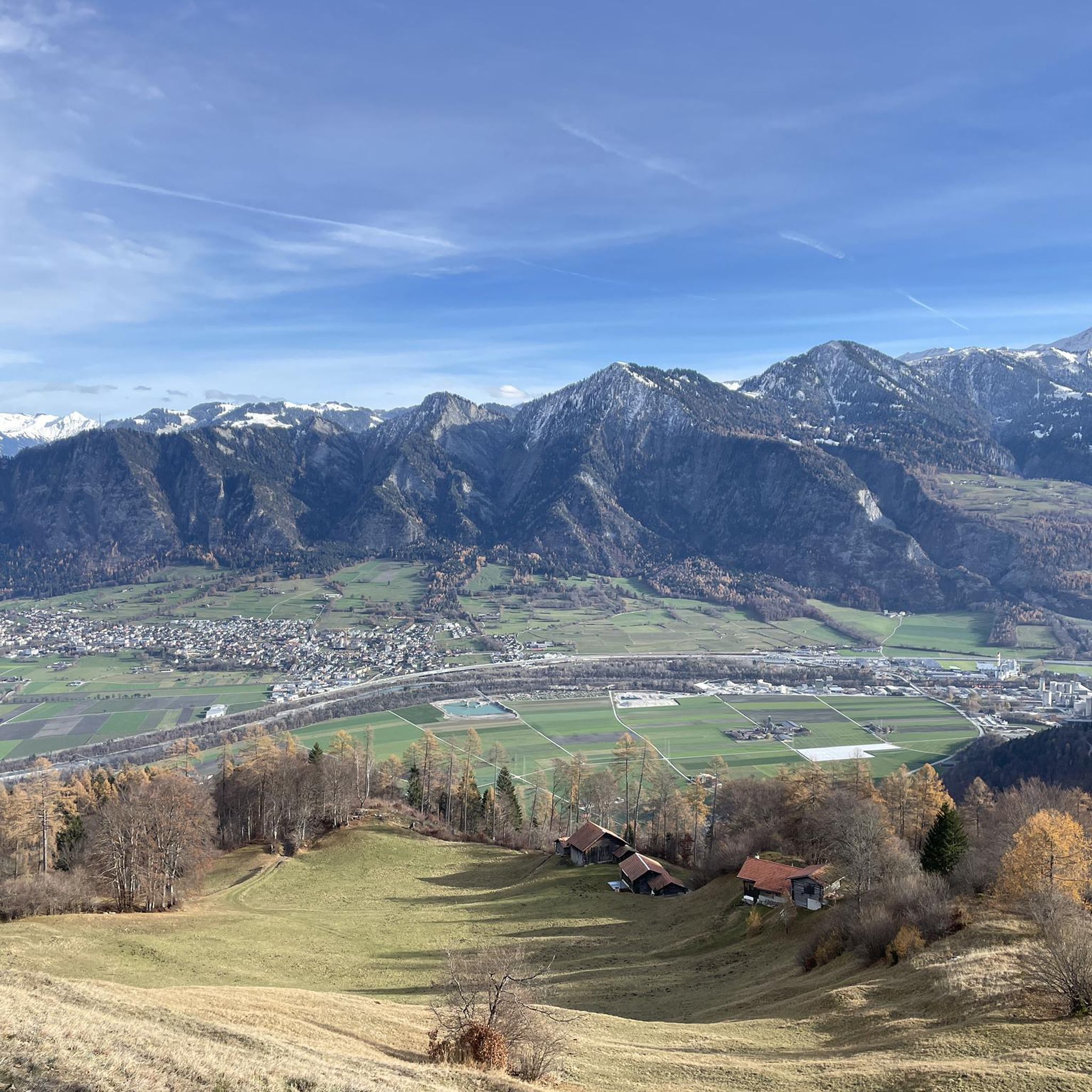
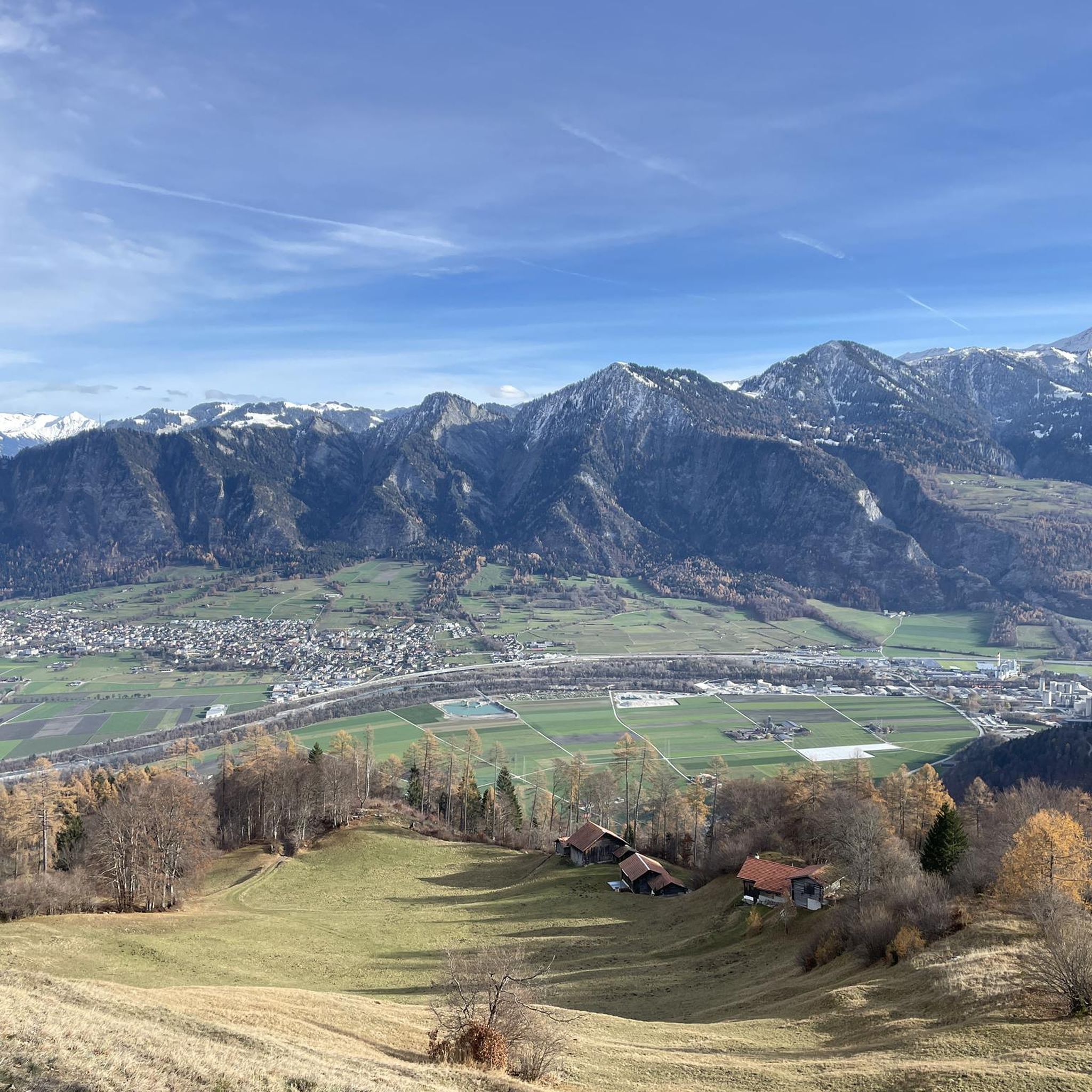
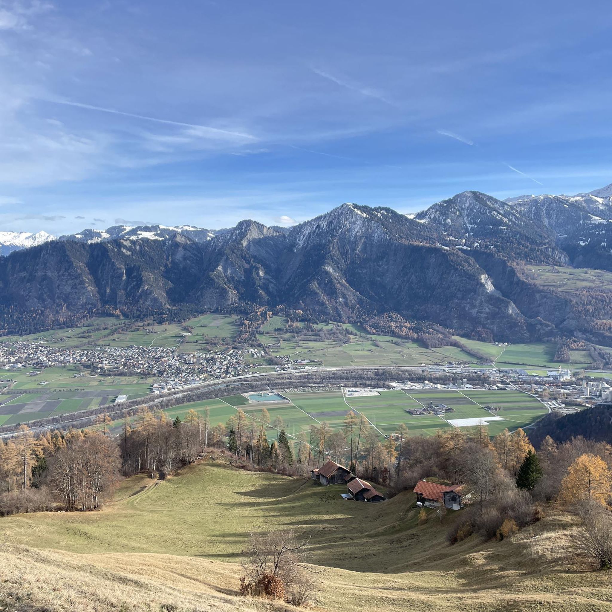
Mountain biking in Untervaz offers diverse landscapes. You'll ride through forests and meadows, leading to alpine areas with views of the Chur Rhine Valley and surrounding mountains like the Rätikon formations. The region is at the foot of the imposing Calanda mountain, and trails often provide panoramic vistas, such as from the Pizalun viewpoint. You might also encounter serene natural settings like Schwarzsee or Wildseeluggen.
Are there any historical sites or viewpoints accessible from the trails?
Yes, the area is rich in historical sites and offers numerous viewpoints. Many trails pass by the ruins of several castles, such as Neuburg Castle and Rappenstein Castle. For instance, the Neuenburg Castle Ruins – Lichtenstein Castle Ruins loop from Zizers explores historical castle ruins. You can also find stunning viewpoints like the View from the gallery below Kunkel Pass, offering expansive views of the Rhine Valley.
What is the best time of year to go mountain biking in Untervaz?
The best time for mountain biking in Untervaz is generally during the warmer months when trails are clear of snow and weather conditions are stable. Spring through autumn typically offers the most favorable conditions for exploring the diverse terrain, from valley paths to alpine areas.
How accessible are the mountain bike trails in Untervaz by public transport?
Untervaz is well-connected by public transport, particularly to Chur, making it easily accessible for visitors. This allows for convenient travel to and from the starting points of many mountain bike routes in the area.
Where can I park when mountain biking in Untervaz?
While specific parking locations are not detailed, as a popular outdoor destination, Untervaz and nearby towns like Trimmis and Zizers (common starting points for routes) typically offer designated parking areas for visitors. It's advisable to check local signage or online maps for parking options near your chosen trailheads.
Are there mountain bike trails that form a loop in Untervaz?
Yes, many mountain bike trails in Untervaz are designed as loops, allowing you to start and end at the same point. Examples include the moderate Bridge Over the Rhine loop from Untervaz and the Haldenstein Castle – View of Weisshorn loop from Trimmis.
What do other mountain bikers say about the trails in Untervaz?
The mountain bike trails in Untervaz are highly regarded by the komoot community, boasting an average rating of 4.6 stars from over 2,900 reviews. More than 22,000 mountain bikers have explored the varied terrain, often praising the diverse landscapes, scenic views of the Rhine Valley, and the mix of moderate and challenging routes.
Are there places to stop for refreshments or accommodation near the trails?
Yes, the region around Untervaz offers options for refreshments and accommodation. You can find huts and cabins such as Pizol Hut or Calanda Hut, which can serve as stops during longer rides. The nearby towns also provide various services for visitors.
Are there any trails suitable for beginners in Untervaz?
Yes, Untervaz offers 40 trails categorized as 'easy' on komoot, making them suitable for beginners or those looking for a less strenuous ride. These routes typically feature less elevation gain and smoother terrain, providing a good introduction to mountain biking in the region.
Can I find longer mountain bike routes for experienced riders in Untervaz?
Absolutely. For experienced riders seeking longer and more challenging routes, Untervaz has 122 difficult trails available. An example is the View of Chur – Neuenburg Castle Ruins loop from Trimmis, which spans 26.3 miles (42.3 km) and takes approximately 3 hours 7 minutes to complete, leading through varied terrain with significant elevation changes.
Most popular routes around Untervaz
Most popular attractions around Untervaz

Get inspired with the komoot mobile app


Explore more
Browse the best MTB trails in other regions.
