The best cycling routes around Unterroggenburger Wald
4.5
(1758)
10,461
riders
661
rides
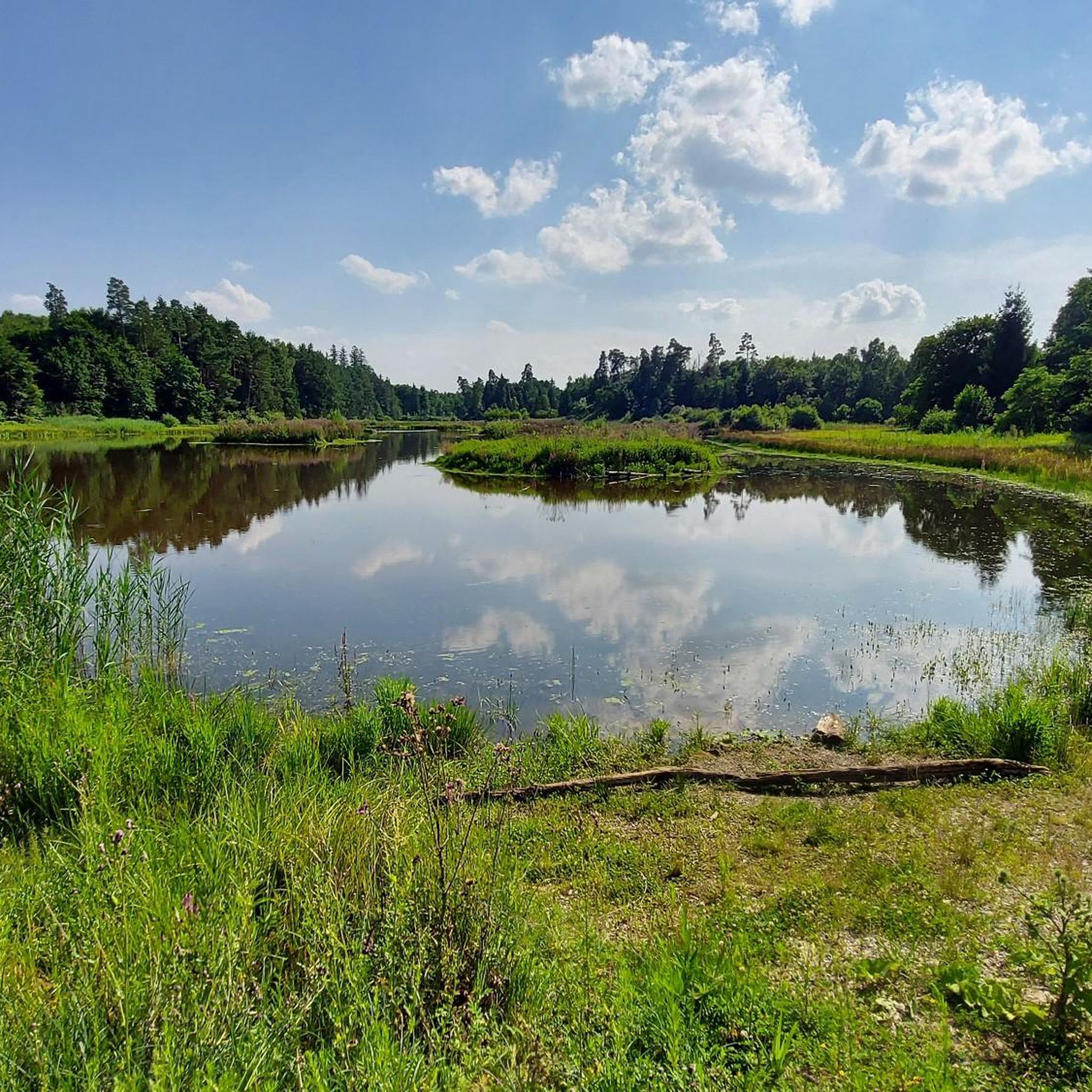
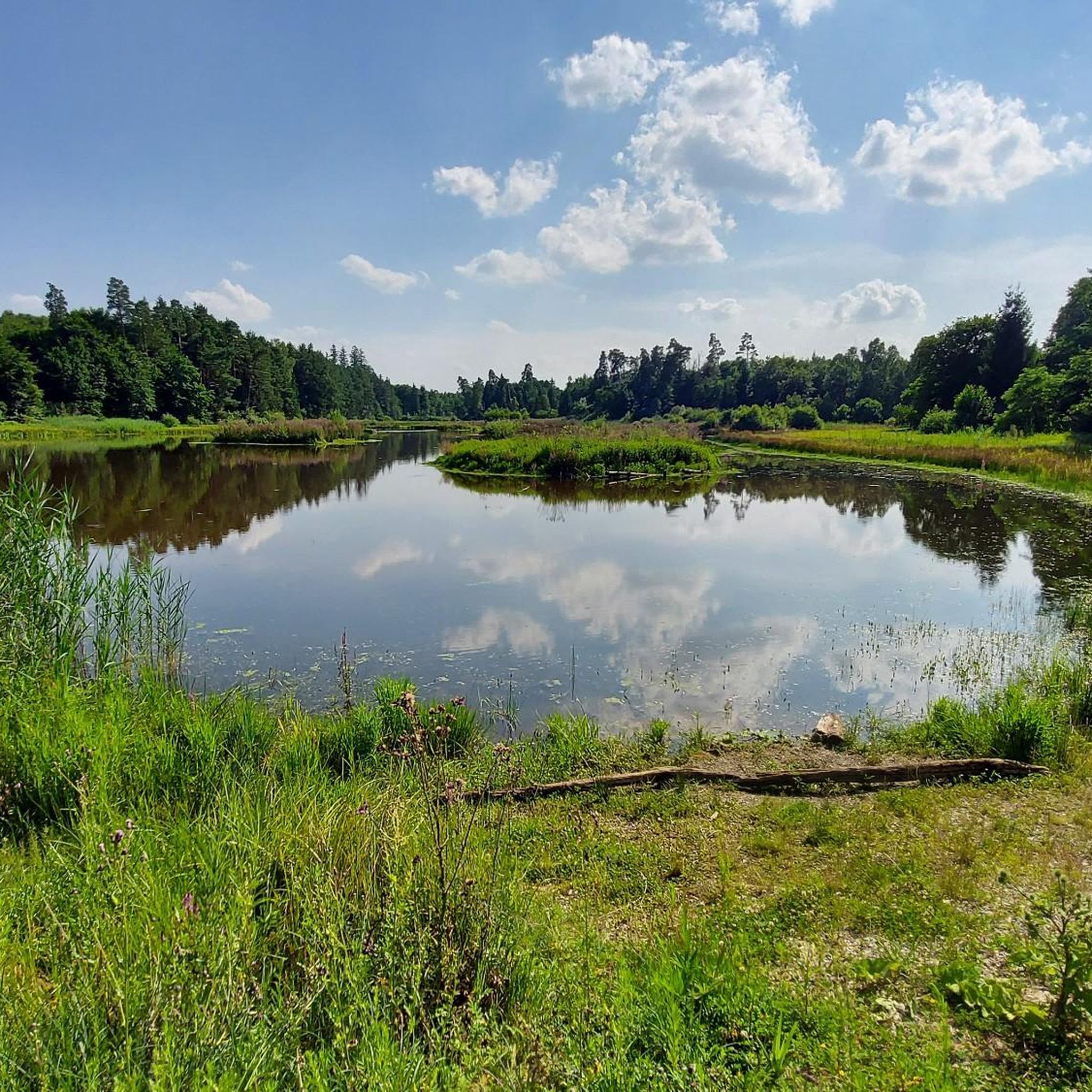
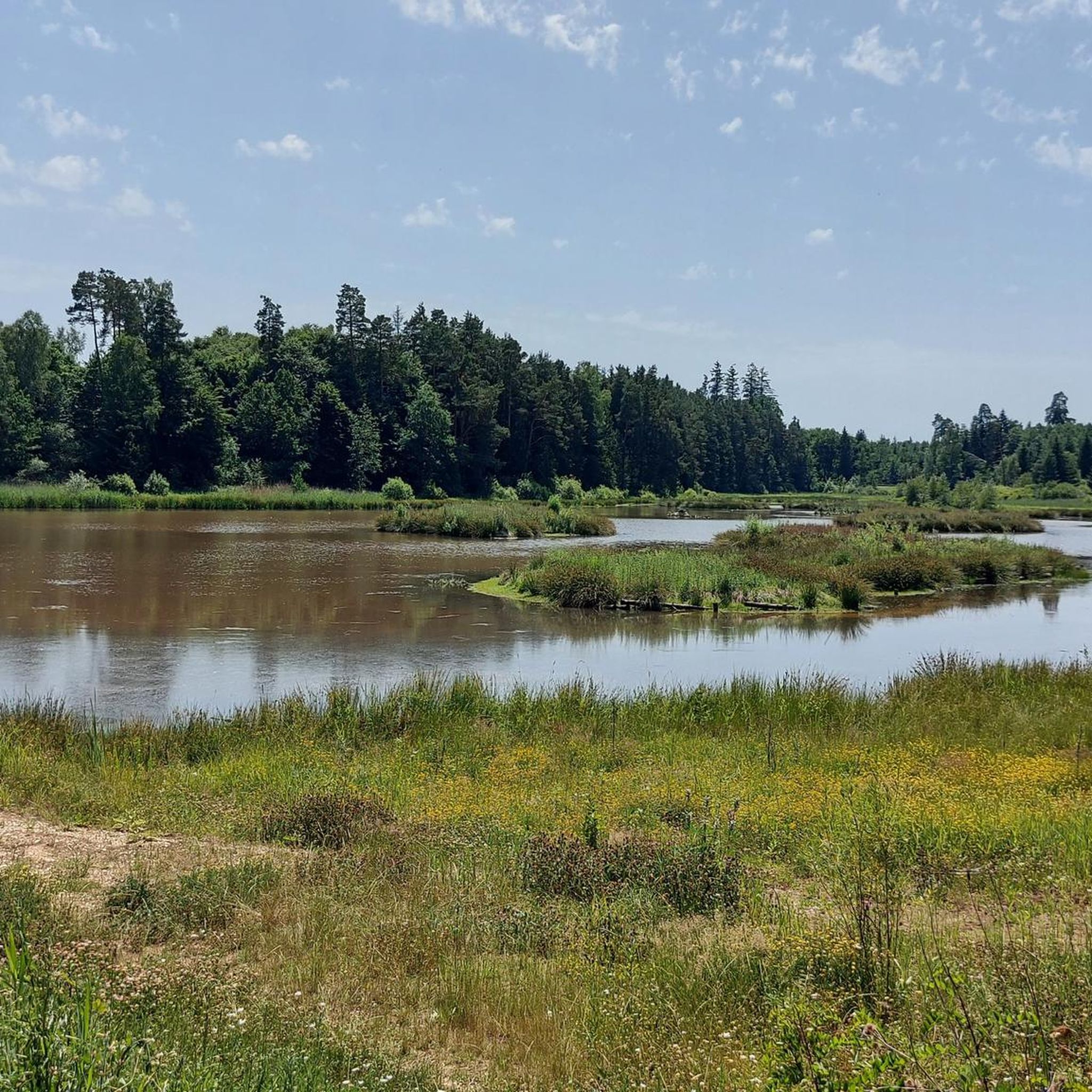
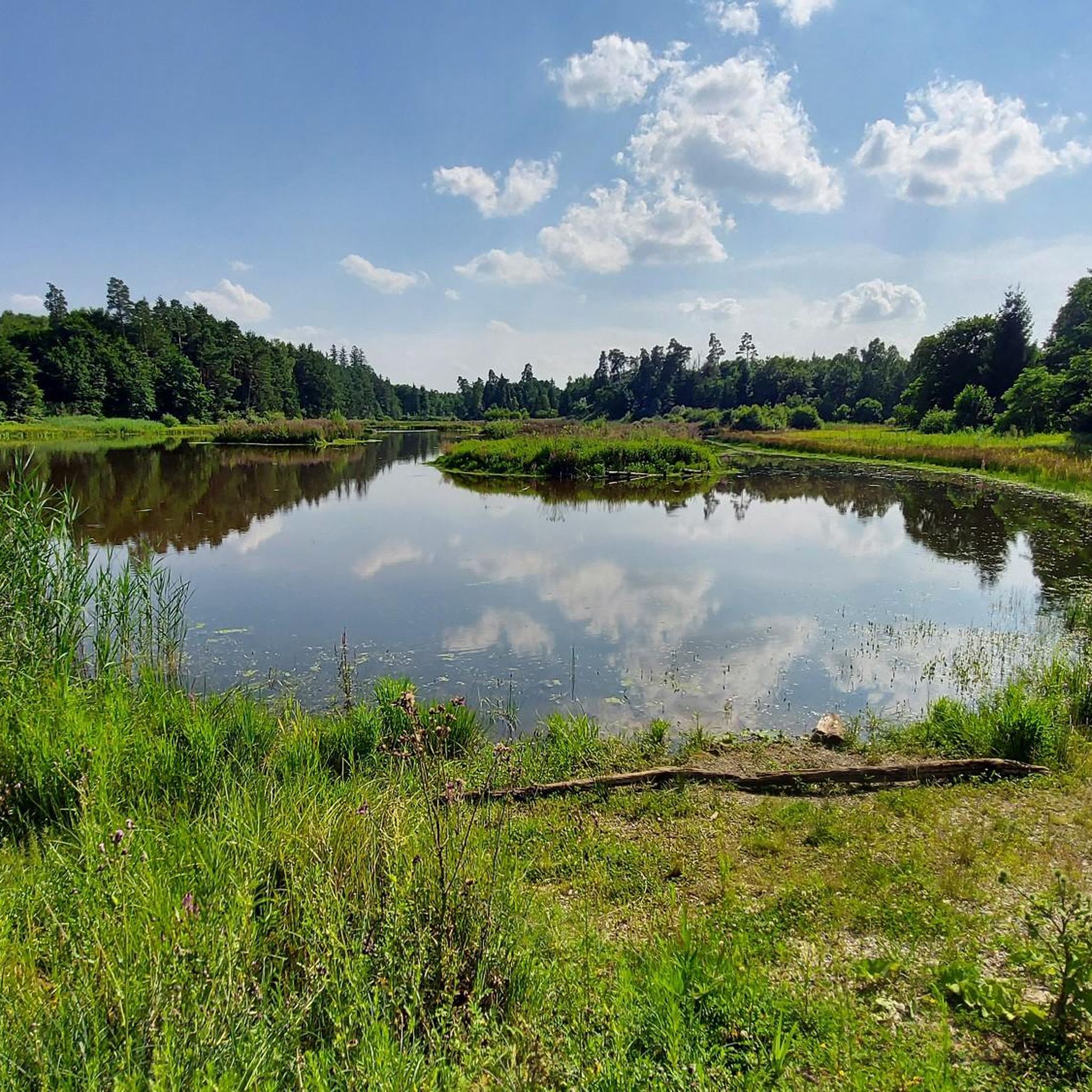
Touring cycling routes around Unterroggenburger Wald traverse an uninhabited and predominantly forested area in Bavarian Swabia. This region is characterized by extensive woodlands and natural features such as the Ingstetter Weiher, a protected natural monument. Adjacent to the equally forested Oberroggenburger Wald, the area forms a continuous natural space with varied terrain. The landscape offers a serene backdrop for outdoor activities, with elevations reaching up to 581 meters in the broader region.
Best touring cycling routes around Unterroggenburger Wald
- The most popular touring cycling route is Old Town of Weißenhorn – Upper Gate, Weißenhorn loop from Schießen, an 11.2 miles (18.0 km) trail that takes 1 hour 7 minutes to complete. This route explores the historic Altstadt Weißenhorn, featuring ancient city gates and churches.
- Another top favourite among local touring cyclists is Pilgrimage Church Schießen – Carina's Genussgarten loop from Schießen, a moderate 9.5 miles (15.3 km) path. This route offers views of the local countryside and passes by points of interest like the Pilgrimage Church.
- Local touring cyclists also love the Dead Tree – Wooden Shelter in the Forest loop from Schießen, a 9.4 miles (15.1 km) trail leading through dense woodlands, often completed in about 1 hour.
- Touring cycling around Unterroggenburger Wald is defined by extensive woodlands, protected natural monuments like Ingstetter Weiher, and varied terrain. The network offers options for different ability levels, from easy loops to more challenging routes.
- The routes in Unterroggenburger Wald are highly rated by the komoot community with an average score of 4.6 stars from over 1500 reviews. More than 9000 touring cyclists have used komoot to explore Unterroggenburger Wald's varied terrain.
Last updated: July 11, 2026
35
riders
15.2km
00:58
170m
170m
Moderate bike ride. Good fitness required. Mostly paved surfaces. Suitable for all skill levels.
4.8
(4)
21
riders
14.9km
00:59
100m
100m
Easy bike ride. Great for any fitness level. Mostly paved surfaces. Suitable for all skill levels.

Sign up for free
4.0
(2)
12
riders
29.1km
01:54
190m
190m
Moderate bike ride. Good fitness required. Mostly paved surfaces. Suitable for all skill levels.
12
riders
5.45km
00:21
50m
60m
Easy bike ride. Great for any fitness level. Mostly paved surfaces. Suitable for all skill levels.
5.0
(1)
9
riders
21.6km
01:29
210m
210m
Moderate bike ride. Good fitness required. Mostly paved surfaces. Suitable for all skill levels.
Get access to more routes and recommendations from other explorers.
Sign up for free
Already have an account?
Our route recommendations are based on thousands of hikes, rides, and runs completed by other people on komoot.
Start today with a free account
Your next adventure awaits.
Login or Signup
Tips from the Community

This worthwhile educational orchard trail of the BUND local group Weißenhorn is planted with many old fruit varieties and signposted with instructive information boards.
0
0
On the initiative of the district of Neu-Ulm, an orchard with over 150 endangered apple and pear varieties from the Neu-Ulm district was planted on the 2.4-hectare property of the Krumbach State Construction Office. It serves to preserve the genetic heritage and varietal diversity of the Neu-Ulm region. The orchard was created in partnership with the association „SternenEltern Schwaben“, a support association for parents who have experienced the loss of a child during or after pregnancy. Each tree symbolically represents a child, which affected parents can accompany in its growth and development as tree patrons.
0
0

The Upper Gate, Weißenhorn's landmark, is a remnant of the town's medieval fortifications. The four-sided gate tower was probably built around 1480; the outer gate and the round towers on the sides were added later. Today, the gate serves as a picturesque subject for photographs.
0
0

The gate is part of the city wall, today a museum
0
0


The beautiful monastery complex and the beer garden are highly recommended. Great food at affordable prices.
2
1

There is very good food there
0
0

very friendly, cozy and delicious food
0
0
Frequently Asked Questions
How many touring cycling routes are available in Unterroggenburger Wald?
There are over 640 touring cycling routes available in and around Unterroggenburger Wald. This includes a wide range of options, with approximately 200 easy routes, 350 moderate routes, and 80 more challenging routes to choose from.
What is the best time of year for touring cycling in Unterroggenburger Wald?
The region's extensive woodlands and natural features make it enjoyable throughout the warmer months. Spring and autumn offer pleasant temperatures and beautiful scenery, while summer provides longer daylight hours. Winter cycling might be possible, but conditions can vary, and some paths might be less accessible.
Are there any circular touring cycling routes in the area?
Yes, many touring cycling routes in Unterroggenburger Wald are designed as loops. For example, the Old Town of Weißenhorn – Upper Gate, Weißenhorn loop from Schießen offers a scenic 18 km ride, and the Pilgrimage Church Schießen – Carina's Genussgarten loop from Schießen is another popular 15.3 km circular path.
Are there easy touring cycling routes suitable for beginners or families?
Yes, Unterroggenburger Wald offers around 200 easy touring cycling routes. An excellent option for beginners or families is the Dead Tree – Wooden Shelter in the Forest loop from Schießen, which is an easy 15.1 km trail leading through dense woodlands.
What kind of elevation changes can I expect on touring cycling routes?
The broader region around Unterroggenburger Wald features varied terrain, with elevations reaching up to 581 meters. While some routes are relatively flat, others, like the Krumbach (Schwaben) – Günz River at Taubried loop from Schießen, can include over 240 meters of ascent, offering a moderate challenge.
What natural attractions can I explore while touring cycling?
The region is rich in natural beauty. You can visit the Roggenburg pond, an idyllic spot for a break, or the Salzweiher, which is also designated as a natural monument. The Nordholz Mill Pond and the Günz Reservoir, Waldstetten are also notable natural highlights.
Are there any historical sites or towns accessible by touring bike?
Absolutely. The historic Altstadt Weißenhorn is a popular destination, featuring ancient city gates, churches, and castles. You can explore its scenic circular walk. Another route, Waldseilgarten Wallenhausen – View of Weißenhorn's Old Town loop from Schießen, offers views of this charming old town.
Can I bring my dog on the touring cycling trails?
Many of the natural trails and forest paths in Unterroggenburger Wald are suitable for cycling with dogs, provided they are well-behaved and kept on a leash where necessary. Always be mindful of local regulations and other trail users.
Where can I find parking for touring cycling routes?
Many routes start from villages like Schießen, which typically offer parking facilities. For routes that begin at specific attractions or trailheads, designated parking areas are often available. It's advisable to check the specific route details on komoot for parking information.
Is public transport available to access the touring cycling routes?
While the Unterroggenburger Wald itself is largely uninhabited, surrounding towns and villages like Roggenburg and Schießen are generally accessible by public transport. You can plan your journey to these starting points and then begin your cycling tour.
Are there places to eat or rest along the touring cycling routes?
Yes, the region offers various options for refreshments. The "Romantische Wald- und Wiesenroute um Roggenburg" for instance, starts and ends at Klosterhof, which has dining options in Wattenweiler. The Roggenburg pond also features a restaurant, making it a great spot for a break.
What do other touring cyclists say about the routes in Unterroggenburger Wald?
The touring cycling routes in Unterroggenburger Wald are highly rated by the komoot community, with an average score of 4.6 stars from over 1500 reviews. Over 9000 touring cyclists have used komoot to explore the varied terrain, often praising the peaceful forested environment and well-maintained paths.
Most popular routes around Unterroggenburger Wald
Most popular attractions around Unterroggenburger Wald

Get inspired with the komoot mobile app


Explore more
Browse the best Cycling routes in other regions.
