The best walks and hikes around Unterreit
4.5
(1622)
7,801
hikers
641
hikes
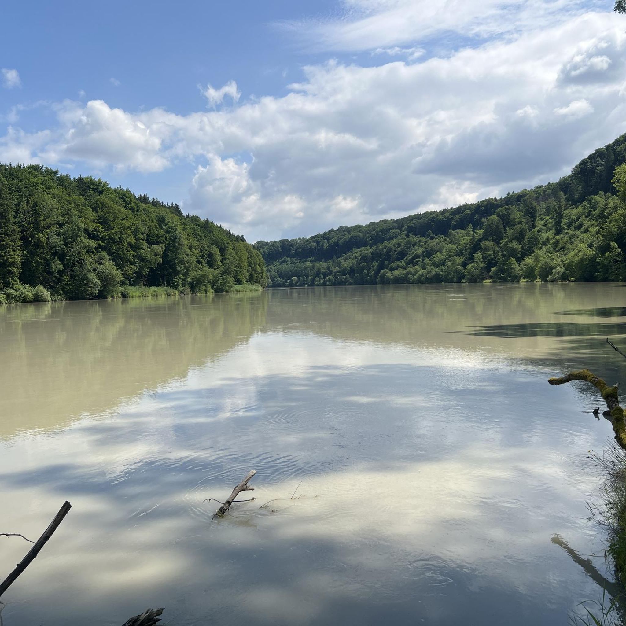
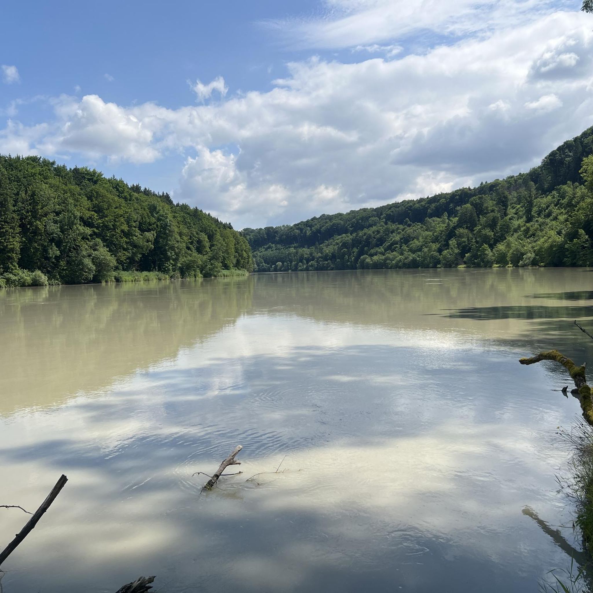
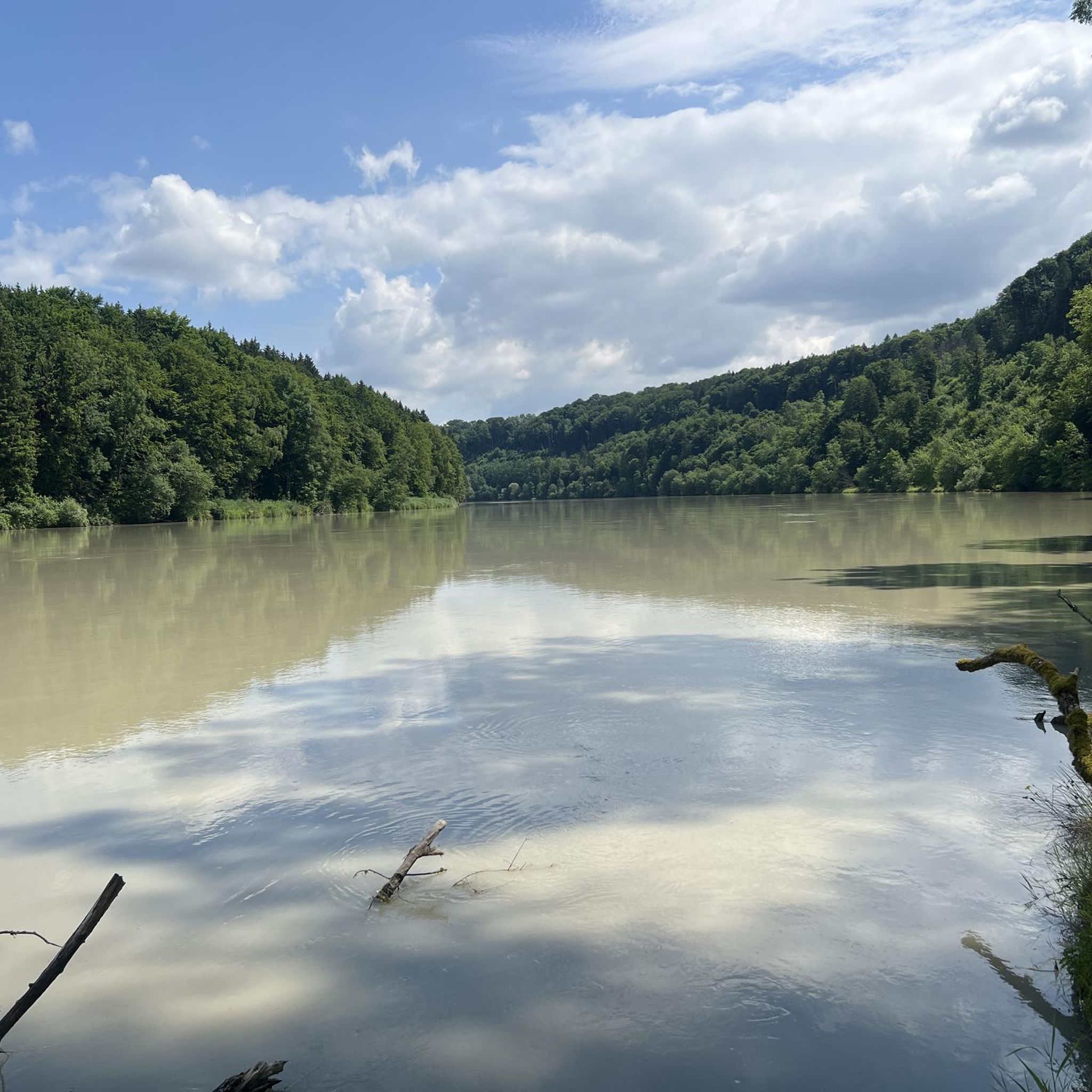
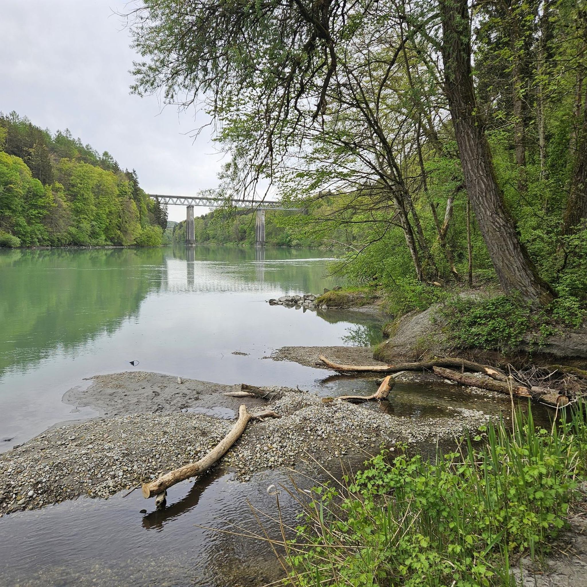
Hiking around Unterreit offers diverse trails through the picturesque Bavarian Alpine foothills. The region is characterized by its varied terrain, including forest sections, open meadows, and paths along the Inn River. These natural features provide a range of experiences for outdoor enthusiasts. The landscape can be explored via routes that traverse easily walkable terrain, with some offering views of the Inn River and historical points of interest.
Best hiking trails around Unterreit
- The most popular hiking route is Königswart Inn…
Last updated: June 27, 2026
4.3
(11)
48
hikers
Moderate hike. Good fitness required. Easily-accessible paths. Suitable for all skill levels.
4.4
(16)
68
hikers
9.85km
02:40
140m
140m
Moderate hike. Good fitness required. Easily-accessible paths. Suitable for all skill levels.

Sign up for free
3.6
(5)
39
hikers
Easy hike. Great for any fitness level. Easily-accessible paths. Suitable for all skill levels.
3.8
(5)
14
hikers
7.38km
02:00
100m
100m
Easy hike. Great for any fitness level. Easily-accessible paths. Suitable for all skill levels.
4.8
(4)
9
hikers
Easy hike. Great for any fitness level. Easily-accessible paths. Suitable for all skill levels.
Get access to more routes and recommendations from other explorers.
Sign up for free
Already have an account?
Our route recommendations are based on thousands of hikes, rides, and runs completed by other people on komoot.
Start today with a free account
Your next adventure awaits.
Login or Signup

Tips from the Community


On the way along the Inn from Wasserburg to Gars.
0
0

There is another path, but there is now a house there and the path is already overgrown on the lower side!
0
0

Beautiful Innleitenweg, MBT bike recommended
0
0
beautiful shady path along the Inn
0
0

Königswart Castle stood where the Nasenbach flows into the Inn River. It was a subsidiary castle of the Hohenburg lordship. Based on its name and location, Königswart was probably a royal toll castle. According to legend, during the time of the emperor's absence (1056-1059), a robber baron robbed ships here. The emperor's widow, Agnes, promised as much land as he could ride around in one day to anyone who could put an end to the roguery. "Kuno Maier" then set out from Altdorf near Haag, defeated the band of robbers, and rode around the territory of the County of Haag on a white horse, which he subsequently acquired. In 1202, Königswart, like Hohenburg, was owned by the Counts of Megling (Stampfl), 7 km downstream. In 1226, Königswart passed to the Bishopric of Regensburg and came under Haag administration in 1304. However, the old castle was only used for military purposes. By 1550, Königswart was a ruin. Today, only the foundations of the once proud complex remain. The castle was 125 meters long and 65 meters wide. To the north, at the mouth of the stream, there was an approximately 125-meter-long defensive structure consisting of earthworks and ditches. Access to the castle was from the south via a wide, deep moat, in front of which was a raised area measuring 125x125 meters. A Romanesque capital belonging to the castle was walled into a small chapel in the 19th century. This capital is the oldest secular work in the County of Hague. (Source: R. Münch)
0
0

The descent is in a southerly direction, but after crossing the stream it goes uphill again.
1
0

Nothing special, max. 100 meters of concrete, grippy, steep section. Good to ride, even uphill with an e-bike. 4.2024
1
1
Frequently Asked Questions
What kind of terrain can I expect on hiking trails around Unterreit?
Hiking trails around Unterreit feature a varied terrain, including easily walkable paths through dense forest sections, open meadows, and scenic routes along the Inn River. The landscape is characteristic of the picturesque Bavarian Alpine foothills, offering diverse experiences for different fitness levels.
Are there many hiking routes available in Unterreit?
Yes, Unterreit offers a wide selection of hiking routes. There are over 600 tours available, catering to various preferences. Approximately 420 of these are easy, over 220 are moderate, and a few are more challenging.
What natural features or landmarks can I see while hiking in Unterreit?
The region is rich in natural beauty and historical sites. You can explore the scenic Inn River, which features prominently in many routes, and discover the historical Königswart Castle Ruins. Other points of interest include the Steep Banks of the Inn River, the tranquil Hüttenschlag Pond, and the unique Kettle hole. Nearby castles like Haag Castle and Kling Castle Ruins also add historical context to the landscape.
Are there any circular hiking routes in Unterreit?
Yes, many of the hiking routes in Unterreit are circular, allowing you to start and end at the same point. An example is the easy Path Along the Inn River loop from Burgstall Königswart, which covers about 7.4 km.
What do other hikers say about the trails in Unterreit?
The hiking trails in Unterreit are highly regarded by the komoot community, with an average rating of 4.5 stars from over 1300 reviews. More than 6000 hikers have explored the area using komoot, often praising the varied terrain and scenic views, especially along the Inn River.
Are there family-friendly hiking options in Unterreit?
Unterreit offers several family-friendly hiking options, particularly those with easy, accessible paths. The nearby Wildfreizeitpark & Waldseilgarten Oberreith also provides additional outdoor activities suitable for families, combining nature observation with adventure.
Can I bring my dog on the hiking trails in Unterreit?
Generally, dogs are welcome on hiking trails in Unterreit. It's always recommended to keep your dog on a leash, especially in nature protection areas or when passing through agricultural land, to ensure the safety and comfort of wildlife and other hikers.
What is the best time of year to go hiking in Unterreit?
Unterreit is enjoyable for hiking throughout much of the year. Spring and autumn offer pleasant temperatures and vibrant scenery, while summer provides warmer days, often with the benefit of shaded forest sections. Winter hiking is also possible, though conditions may vary.
Are there places to eat or stay near the hiking trails in Unterreit?
While specific cafes or pubs directly on every trail are not guaranteed, the municipality of Unterreit and nearby towns offer various options for refreshments and accommodation. It's advisable to check local listings for current establishments before your hike.
How long do hikes in Unterreit typically take?
Hike durations in Unterreit vary significantly depending on the route's length and difficulty. Many popular trails, like the easy Bench With a View of the Inn – View of the Inn River loop from Gars am Inn (7.3 km), can be completed in under 2 hours. Longer, moderate routes might take 2.5 hours or more.
Is there parking available for hikers in Unterreit?
Parking is generally available at trailheads and in the vicinity of popular hiking areas in Unterreit. Specific parking information can often be found on individual route descriptions on komoot or by checking local municipality websites.
Are there any hidden gem trails or less-known routes in Unterreit?
While many trails are well-loved, the extensive network of over 600 routes means there are always quieter paths to discover. Exploring routes slightly off the main popular trails, or those with fewer reviews on komoot, can often lead to peaceful and rewarding experiences through the region's forests and meadows.
Most popular routes around Unterreit
Most popular attractions around Unterreit

Get inspired with the komoot mobile app


Explore more
Browse the best Hikes in other regions.
