The best road cycling routes around Untermeitingen
4.5
(686)
7,060
riders
301
rides
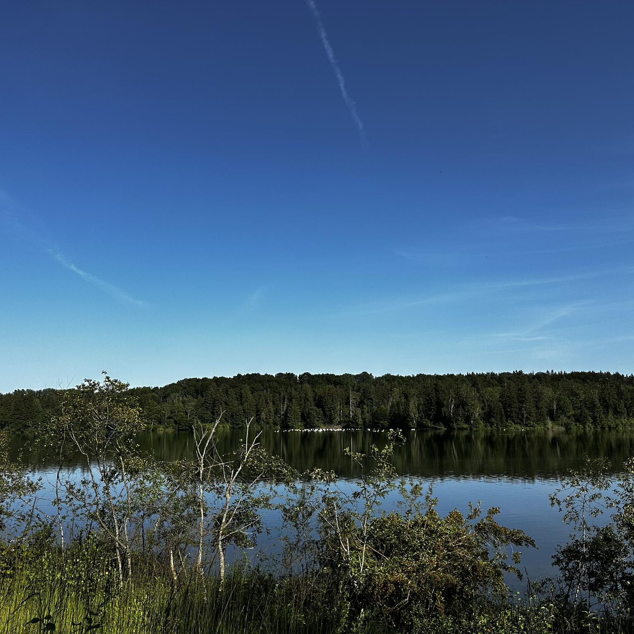
Road cycling around Untermeitingen, located in Bavaria, Germany, features a diverse landscape suitable for various skill levels. The region is characterized by the presence of the Lech river and its canals, offering mostly flat, scenic routes. While Untermeitingen itself is relatively flat, distant views of the hilly Pre-Alps are accessible, providing a mix of terrain options. Cyclists will find well-paved paths through forests and meadows, making for a pleasant cycling environment.
Best road cycling routes around Untermeitingen
- The most popular road cycling route is Marktplatz Schwabmünchen – Bench Before the Ascent loop from Klosterlechfeld, a 26.3 miles (42.4 km) trail that takes about 1 hour 38 minutes to complete. This easy route connects local towns and offers views before a gentle ascent.
- Another top favourite among local road cyclists is Lech Bridge, Kaufering – Scheuring–Kaufering Rural Road loop from Lagerlechfeld, an easy 26.9 miles (43.3 km) path. This route follows rural roads and offers views of the Lech River.
- Local road cyclists also love the Iglinger Weiher loop from Untermeitingen, a 16.1 miles (25.9 km) trail leading through local landscapes, often completed in about 58 minutes.
- Road cycling around Untermeitingen is defined by the Lech river, its canals, and routes through forests and meadows. The network offers options for different ability levels, from easy, flat rides to moderate routes with more elevation gain.
- The routes in Untermeitingen are highly rated by the komoot community with an average score of 4.6 stars from over 600 reviews. More than 6,500 road cyclists have used komoot to explore Untermeitingen's varied terrain.
Last updated: July 11, 2026
4.6
(7)
70
riders
Easy road ride. Great for any fitness level. Mostly well-paved surfaces and easy to ride.
4.0
(4)
57
riders
25.9km
00:59
50m
50m
Easy road ride. Great for any fitness level. Mostly well-paved surfaces and easy to ride.

Sign up for free
5.0
(2)
57
riders
30.1km
01:09
70m
70m
Easy road ride. Great for any fitness level. Mostly well-paved surfaces and easy to ride.
4.0
(3)
41
riders
79.9km
03:12
380m
380m
Moderate road ride. Good fitness required. Mostly well-paved surfaces and easy to ride.
4.6
(5)
91
riders
41.6km
01:42
220m
220m
Easy road ride. Great for any fitness level. Mostly well-paved surfaces and easy to ride.
Get access to more routes and recommendations from other explorers.
Sign up for free
Already have an account?
Our route recommendations are based on thousands of hikes, rides, and runs completed by other people on komoot.
Start today with a free account
Your next adventure awaits.
Login or Signup
Tips from the Community

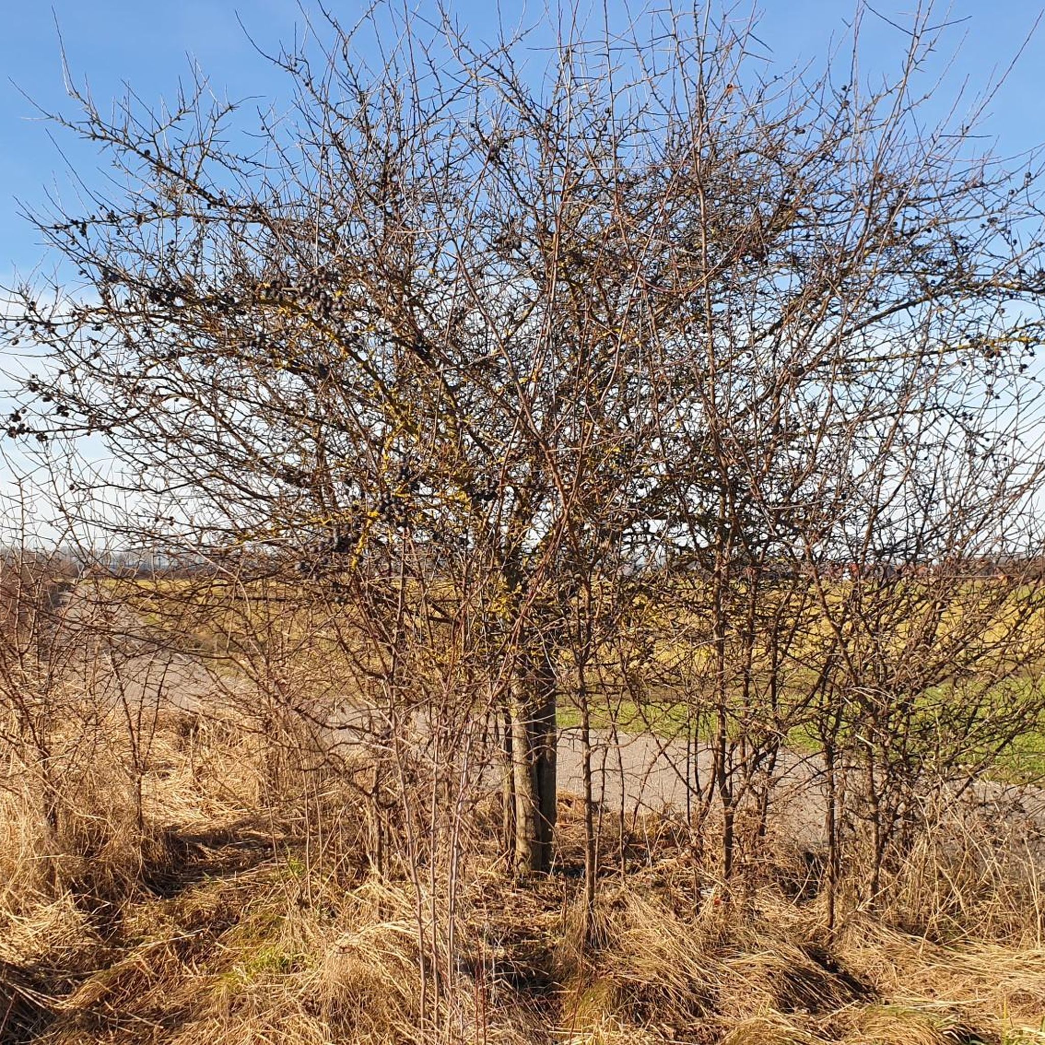
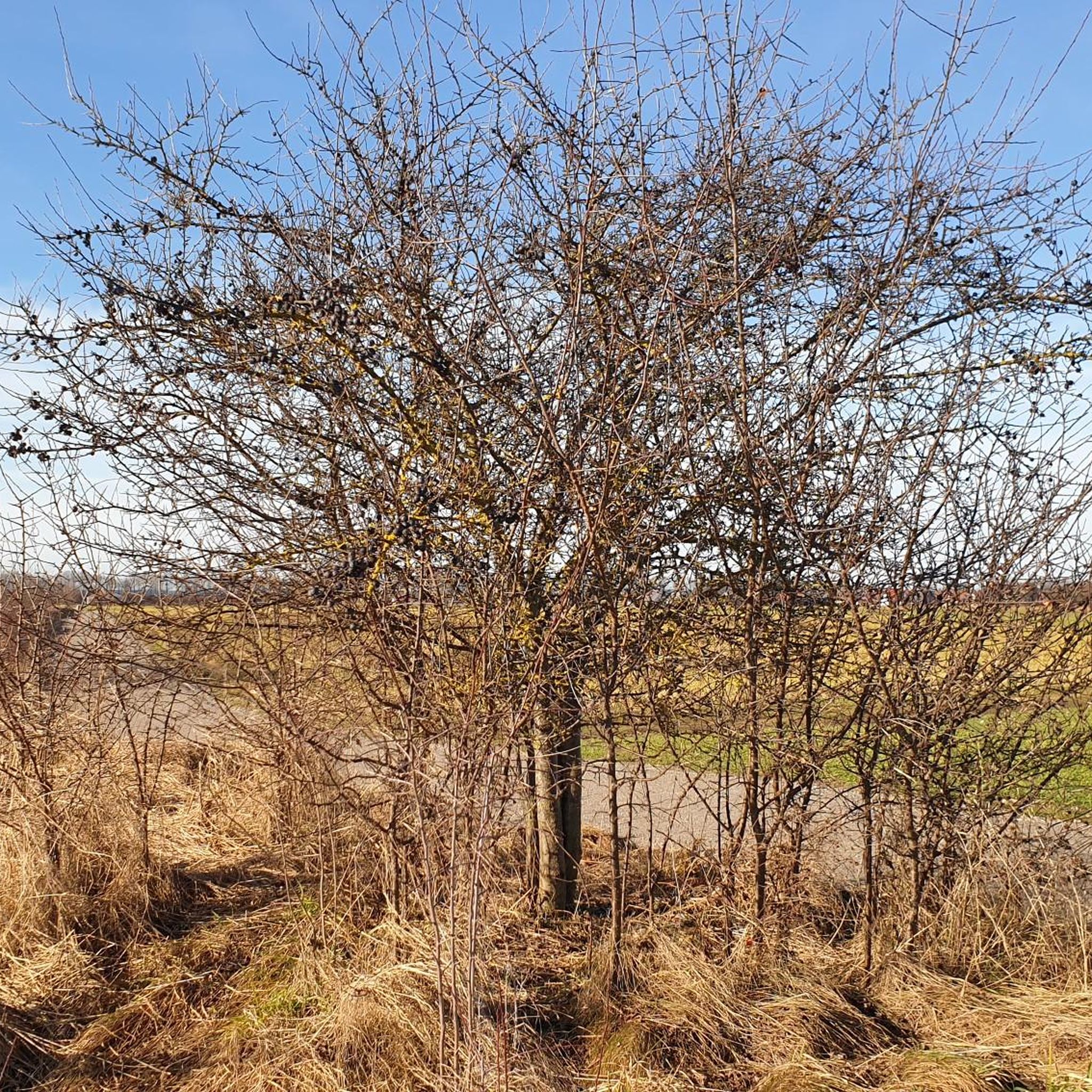
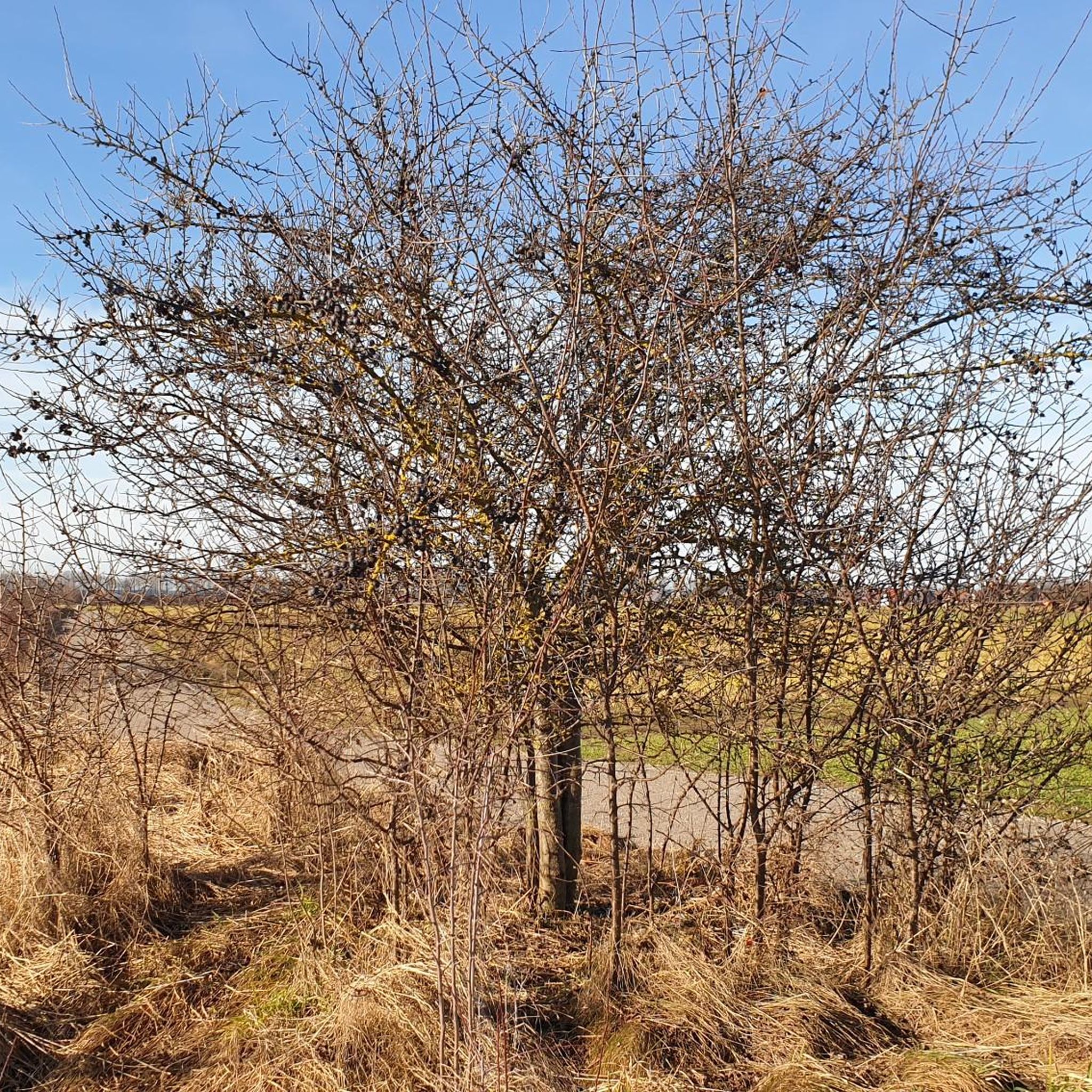
Beautiful distant views can be seen from here.
0
0

Central square at the Old Town Hall with access to the Stadtgarten
1
0

Mandatory bike path along the road. Cyclists must yield at junctions. The access ramps to the bike path have gentle curbs. Asphalt is perfect for this; it rolls smoothly.
1
0

very easy to drive
0
0

A bakery with a wide selection, including baked goods and milk. A good place to stop for a weekend getaway, both Saturday and Sunday.
1
0

A hall church dating from 1798. The tower base is Romanesque. A recessed choir. The southeastern tower has a gable roof.
0
0
Excellently paved bike path between Untermeitingen and Langerringen. Prone to wind!
0
0
Well-paved, roadside cycle path between Oberottmarshausen and Untermeitingen. Prone to wind.
0
0
Frequently Asked Questions
How many road cycling routes are available around Untermeitingen?
There are over 280 road cycling routes available around Untermeitingen, catering to various skill levels. This includes 137 easy routes, 144 moderate routes, and 7 more challenging options.
What kind of terrain can I expect on road cycling routes around Untermeitingen?
The region offers a diverse landscape. You'll find mostly flat, well-paved routes along the Lech River and its canals, perfect for relaxed rides. However, the proximity to the Pre-Alps also means you can encounter routes with more significant elevation gains and stunning distant views, particularly as you venture further from Untermeitingen. Routes often pass through forests and meadows, providing a pleasant cycling environment.
What is the best time of year for road cycling in Untermeitingen?
The best seasons for road cycling in Untermeitingen are spring and summer, when the weather is pleasant and nature is in full bloom. Autumn also offers vibrant foliage and comfortable temperatures for cycling.
Are there road cycling routes suitable for beginners or families in Untermeitingen?
Yes, Untermeitingen offers many easy road cycling routes ideal for beginners and families. These routes often follow well-maintained paths along the Lech River and through gentle landscapes. An example is the Iglinger Weiher loop from Untermeitingen, which is 16.1 miles (25.9 km) and leads through local landscapes.
What natural features can I see while road cycling in Untermeitingen?
You can explore the impressive Lech River, one of Europe's last wild river landscapes, and its canals, such as the Lochbach. Routes also lead to picturesque lakes like the Lech Reservoir 18 and the Iglinger Weiher. You might also encounter natural monuments like the Haltenberger Aue Beaver Habitat.
Are there any historical or cultural sights along the road cycling routes?
While cycling, you can discover charming villages and historical sites. For instance, a moderate route like the Wellenburg Castle Restaurant loop from Klosterlechfeld can lead you towards notable landmarks. Additionally, the Stone Age Hut in Pestenacker Archaeological Park is another interesting historical highlight in the wider area.
Are there circular road cycling routes available around Untermeitingen?
Yes, many road cycling routes around Untermeitingen are designed as loops, allowing you to start and end at the same point. Examples include the Marktplatz Schwabmünchen – Bench Before the Ascent loop from Klosterlechfeld and the Lech Bridge, Kaufering – Scheuring–Kaufering Rural Road loop from Lagerlechfeld.
What do other road cyclists enjoy most about road cycling in Untermeitingen?
The road cycling routes in Untermeitingen are highly rated by the komoot community, with an average score of 4.6 stars from over 600 reviews. Cyclists often praise the well-paved paths, the scenic beauty along the Lech River, and the variety of routes that cater to different fitness levels, from easy, flat rides to more moderate tours with gentle ascents.
Can I find long-distance road cycling routes near Untermeitingen?
Yes, for those looking for longer rides, there are routes that extend further into the region. For example, the Wellenburg Castle Restaurant loop from Klosterlechfeld is a moderate 49.6 miles (79.9 km) route, offering a more extended cycling experience.
Are there places to stop for refreshments or accommodation along the routes?
The region around Untermeitingen features quaint villages and towns that often have cafes, pubs, and accommodation options. While specific establishments vary by route, you'll find opportunities to stop and refuel, especially in larger towns or villages along the way.
Is public transport available to reach road cycling trailheads in Untermeitingen?
Untermeitingen and its surrounding areas are generally well-connected within Bavaria. While specific public transport options to individual trailheads may vary, regional buses and train services can often get you close to starting points for many routes. It's advisable to check local transport schedules for the most up-to-date information.
Where can I find parking for road cycling routes in Untermeitingen?
Parking is typically available in and around Untermeitingen, especially in town centers or near popular starting points for cycling routes. Many routes, being loops, allow you to park your car at the starting point and return to it. Specific parking availability can vary, so checking local maps or komoot route details for designated parking areas is recommended.
Most popular routes around Untermeitingen
Most popular attractions around Untermeitingen

Get inspired with the komoot mobile app


Explore more
Browse the best Road cycling routes in other regions.
