The best cycling routes around Untermaßfeld
4.6
(1854)
8,914
riders
369
rides
Touring cycling routes around Untermaßfeld are set within the Schmalkalden-Meiningen district of Thuringia, Germany. The region features an idyllic landscape of gentle hills, verdant meadows, and the Werra River. Proximity to the Thuringian Forest provides a backdrop of valleys and woodlands, offering diverse terrain for cyclists. The area's network of paths includes riverside routes and trails connecting local towns and natural features.
Best touring cycling routes around Untermaßfeld
- The most popular touring cycling route is Werra River Cycle Path –…
Last updated: July 1, 2026
4.8
(20)
211
riders
Easy bike ride. Great for any fitness level. Mostly paved surfaces. Suitable for all skill levels.
4.3
(9)
45
riders
26.8km
01:39
160m
160m
Moderate bike ride. Good fitness required. Mostly paved surfaces. Suitable for all skill levels.

Sign up for free
4.5
(15)
37
riders
39.5km
02:32
270m
270m
Moderate bike ride. Good fitness required. Mostly paved surfaces. Suitable for all skill levels.
4.3
(22)
73
riders
Easy bike ride. Great for any fitness level. Mostly paved surfaces. Suitable for all skill levels.
4.7
(6)
20
riders
Hard bike ride. Very good fitness required. Mostly paved surfaces. Suitable for all skill levels.
Get access to more routes and recommendations from other explorers.
Sign up for free
Already have an account?
Our route recommendations are based on thousands of hikes, rides, and runs completed by other people on komoot.
Start today with a free account
Your next adventure awaits.
Login or Signup
Tips from the Community

The route from/to Meiningen is very scenic, but a bit narrow when there is oncoming traffic.
0
0
A very scenic bike path with all kinds of terrain. There are some moderate climbs at times. Unfortunately, the path isn't well-signposted (with shops and refreshment stops), so always pack some snacks.
0
0

The Evangelical Lutheran Church of St. Mary Margaret is located in the Rentwertshausen district of the Grabfeld municipality in the Schmalkalden-Meiningen district of Thuringia. It belongs to the Bibra parish in the Meiningen church district of the Evangelical Church in Central Germany. There is no date of construction for this strikingly small village church, with its half-timbered upper story in the church tower. Nothing is known about a previous building. However, the year 1604 in the pulpit inscription is linked to the construction period. The organ was purchased around 1800, and the baptismal font, dating from 1844, is neo-Gothic. In 1983, the church received modern wooden decorations, including an altar cross, antependium, ambo, and pulpit, by the Greiz artist Elly-Viola Nahmmacher. Source: https://de.m.wikipedia.org/wiki/St._Maria_Margaretha_(Rentwertshausen)
17
0
Further reasons were: Since Jewish cemeteries cannot be dissolved, they require a lot of space in the long term, which often could not be found within the city limits. This led to the construction of larger cemeteries outside of the towns. Information An early Jewish regulation stated that graves and burial grounds should be kept away from the city to maintain purity. Source: https://www.juedische-friedhoefe.info/friedhoefe-nach-regionen/schleswig-holstein/ahrensburg/informationen.html#:~:text=Lage,nicht%20ver%C3%A4ndert%20oder%20aufgehoben%20werden.
13
0
Jewish cemeteries were located far outside of towns and villages because Jewish communities had long struggled to acquire land and were often only provided with unsuitable or unused land. This remote location was also necessary to protect the peace of the dead, which was ensured by a wall and the ability to lock the cemetery to prevent disturbances. This was also the case here. Source: https://www.juedische-friedhoefe.info/friedhoefe-nach-regionen/schleswig-holstein/ahrensburg/informationen.html#:~:text=Lage,nicht%20ver%C3%A4ndert%20oder%20aufgehoben%20werden
14
0

always up and down but great to ride
0
0

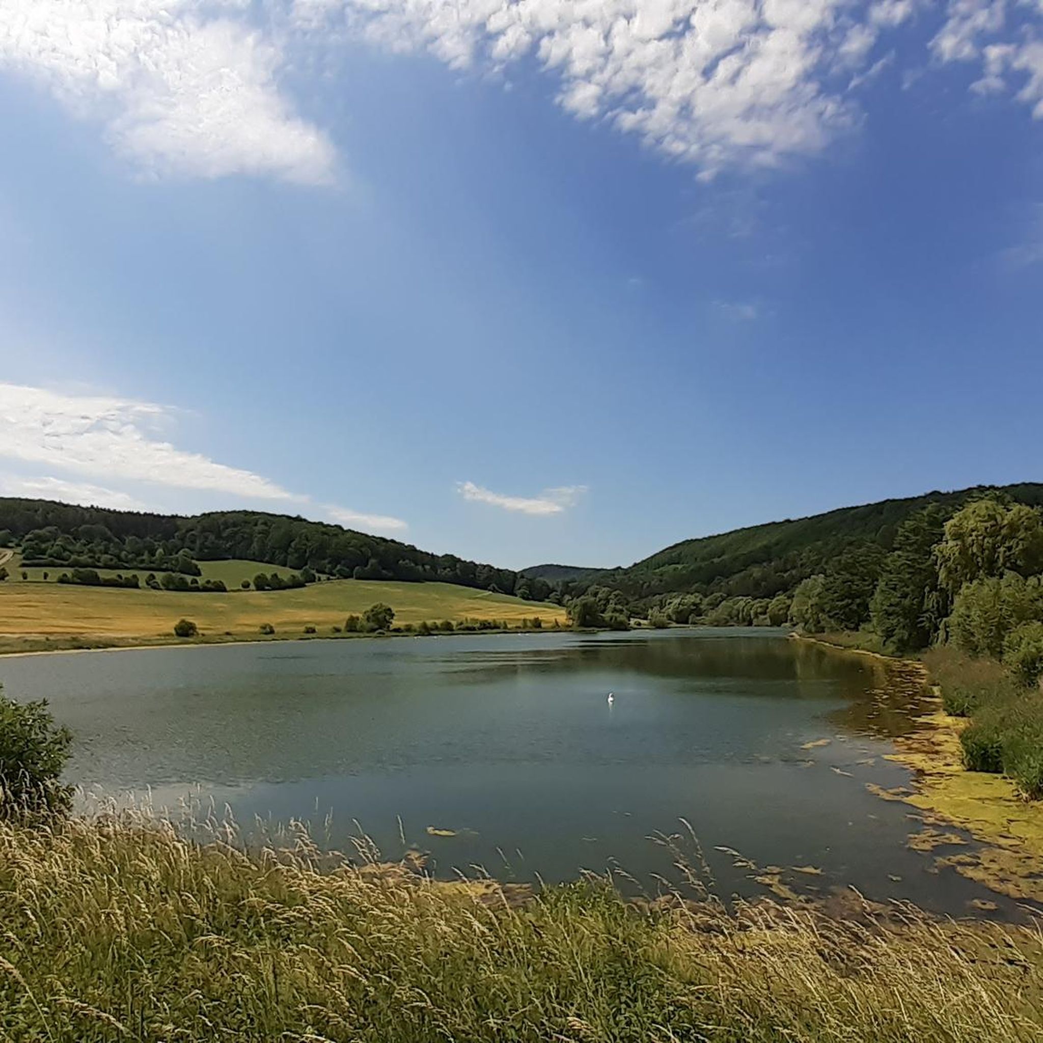
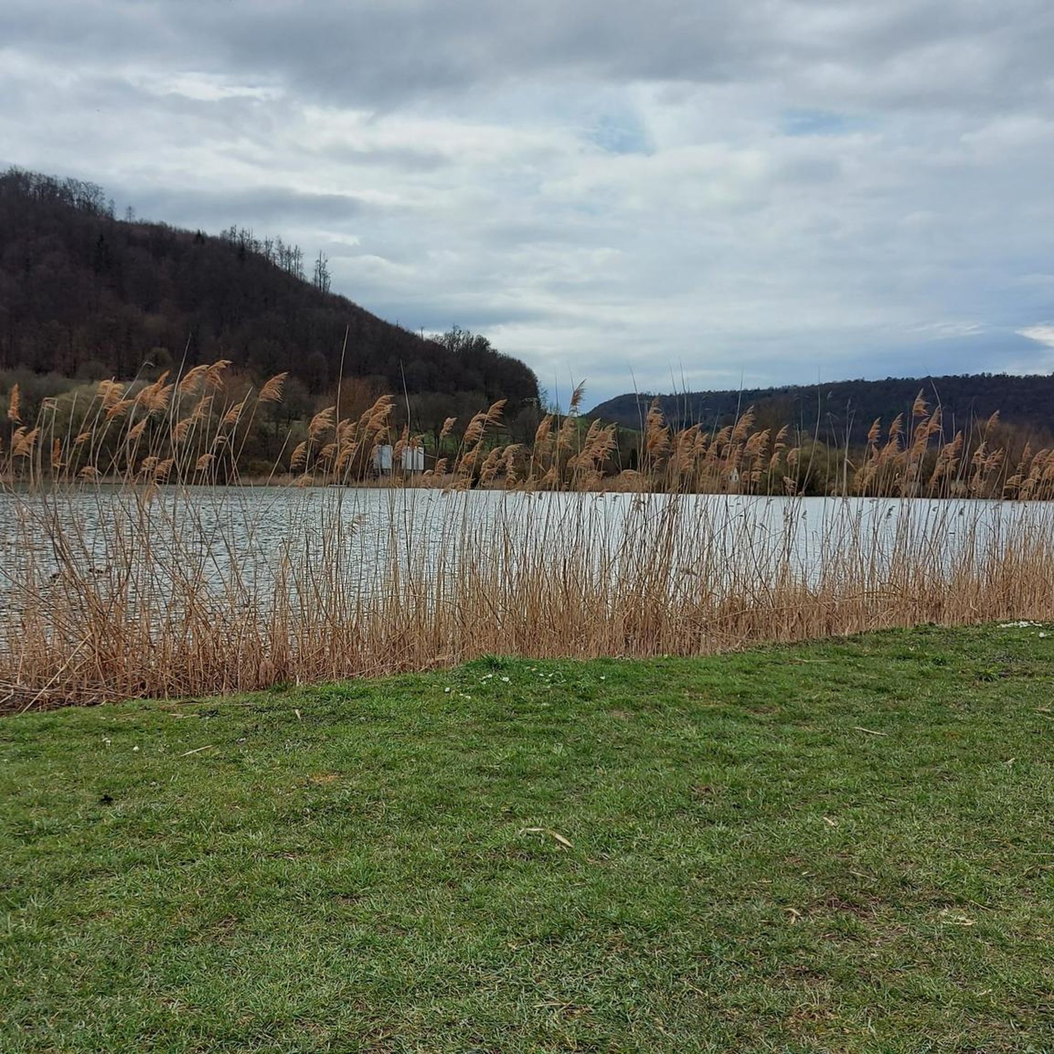
Einhäuser Pond
0
0

Frequently Asked Questions
What kind of terrain can I expect on touring cycling routes around Untermaßfeld?
The Untermaßfeld region offers a diverse landscape for touring cyclists. You'll find routes winding through gentle hills and verdant meadows, often alongside the picturesque Werra River. Proximity to the Thuringian Forest also means some routes feature valleys and woodlands, providing a mix of easy riverside paths and more moderate rides with some elevation gain.
Are there easy touring cycling routes suitable for beginners or families in Untermaßfeld?
Yes, Untermaßfeld has a good selection of easy touring cycling routes. For a tranquil ride, consider the Werra River Cycle Path – Untermaßfeld Fish Ponds loop from Obermaßfeld-Grimmenthal, which is 7.8 miles (12.6 km) and takes about 45 minutes. This route offers scenic views along the Werra River and past local fish farms, perfect for a relaxed outing. Another easy option is the Historic Bridge Near Einhausen – A71 Bridge Crossing loop from Untermaßfeld, which is 12.7 km long.
What are the best times of year for touring cycling in Untermaßfeld?
The summer and autumn months are particularly recommended for touring cycling around Untermaßfeld. During these seasons, the weather is generally pleasant, allowing you to fully enjoy the region's natural beauty, from the green meadows to the vibrant autumn foliage of the Thuringian Forest.
Are there any circular touring cycling routes available in the Untermaßfeld area?
Yes, many of the touring cycling routes around Untermaßfeld are designed as loops. For example, the Bibra Castle – Rest Area at Thurnau Junction loop from Ritschenhausen offers a moderate 19.6 miles (31.6 km) ride through cultural highlights and enchanting nature. Another popular circular route is the Bibra Castle – Schwickershausen Reservoir loop from Ritschenhausen, covering 24.5 miles (39.5 km) through varied terrain.
What natural attractions or viewpoints can I see along the touring cycling routes?
The region is rich in natural beauty. You'll frequently encounter the idyllic Werra River with its beautiful stone bridges. The routes also offer views of gentle hills and expansive meadows. For specific viewpoints, consider visiting Sternplatz and the Adolfstein Memorial or the View from the Diezhäuschen, which are popular highlights in the area.
Are there any historical or cultural landmarks to explore while cycling near Untermaßfeld?
Absolutely. The region blends natural beauty with historical interest. The Bibra Castle – Rest Area at Thurnau Junction loop from Ritschenhausen connects cultural highlights with nature. You can also find historic bridges along the Werra River, often with informative plaques. For a significant historical site, the impressive Burgruine Henneberg, ancestral seat of the Counts of Henneberg, is a notable attraction nearby.
How many touring cycling routes are available around Untermaßfeld?
There are over 360 touring cycling routes around Untermaßfeld listed on komoot, offering a wide variety of options for different skill levels and preferences. This includes approximately 85 easy routes, 165 moderate routes, and 110 difficult routes.
What do other touring cyclists say about the routes in Untermaßfeld?
The touring cycling routes around Untermaßfeld are highly rated by the komoot community, with an average score of 4.6 stars from over 1,500 reviews. Cyclists often praise the region's diverse terrain, from tranquil riverside paths to routes with some elevation gain, and the beautiful natural scenery, including the Werra River and the surrounding hills and meadows.
Are there any challenging touring cycling routes for experienced riders?
Yes, for experienced riders seeking more of a challenge, there are routes with significant elevation gain. An example is the Fasanerie Hermannsfeld – Hilly landscape near Sülzfeld loop from Untermaßfeld, which is a difficult 32.1 miles (51.7 km) route with over 570 meters of elevation gain, offering a rewarding ride through a hilly landscape.
Can I expect to see wildlife while cycling along the Werra River?
Yes, the Werratal Cycle Path, which runs directly through the Untermaßfeld area, is known for its scenic views and opportunities to observe wildlife. Goosanders, for instance, have made a return to the Werra River, offering a chance to spot these birds during your ride.
Are there any specific natural monuments or unique geological features in the area?
Yes, the region has several interesting natural monuments. You might want to explore the Träbeser Loch Geological Natural Monument or the Großes Armloch Karst Spring. These offer unique natural sights that can be incorporated into your cycling adventures.
Most popular routes around Untermaßfeld
Most popular attractions around Untermaßfeld

Get inspired with the komoot mobile app


Explore more
Browse the best Cycling routes in other regions.
