The best MTB trails around Taglio Di Po
4.4
(622)
3,614
riders
155
rides
Mountain biking around Taglio Di Po features routes across the flat, expansive terrain of the Po Delta. The landscape is defined by its extensive network of waterways, including riverbanks, coastal paths, and agricultural areas, with very low elevation gains. This region provides a unique environment for mountain biking, focusing on distance and scenic views of the delta.
Best mountain bike trails around Taglio Di Po
- The most popular mountain bike trail is Sacca di Goro Waterfront – Scardovari Basin loop…
Last updated: October 8, 2026
4.4
(17)
82
riders
Moderate mountain bike ride. Good fitness required. Suitable for all skill levels.
4.5
(13)
70
riders
48.7km
03:05
50m
50m
Moderate mountain bike ride. Good fitness required. Advanced riding skills necessary.

4.3
(3)
66
riders
113km
07:24
130m
130m
Hard mountain bike ride. Very good fitness required. Advanced riding skills necessary.
4.3
(19)
63
riders
Moderate mountain bike ride. Good fitness required. Advanced riding skills necessary.
4.8
(5)
23
riders
47.3km
02:25
60m
60m
Moderate mountain bike ride. Good fitness required. Suitable for all skill levels.
Get access to more routes and recommendations from other explorers.
Already have an account?
Our route recommendations are based on thousands of hikes, rides, and runs completed by other people on komoot.
Start today with a free account
Your next adventure awaits.
Popular around Taglio Di Po
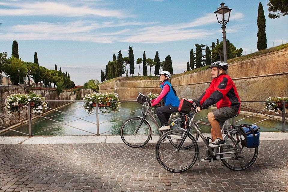
Between Lake Garda and the Adriatic Sea – cycle Tours in Italy’s Veneto
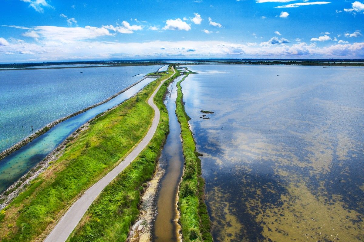
Delta del Po in e-bike – itinerari tra fiume, mare e laguna con DINAclub
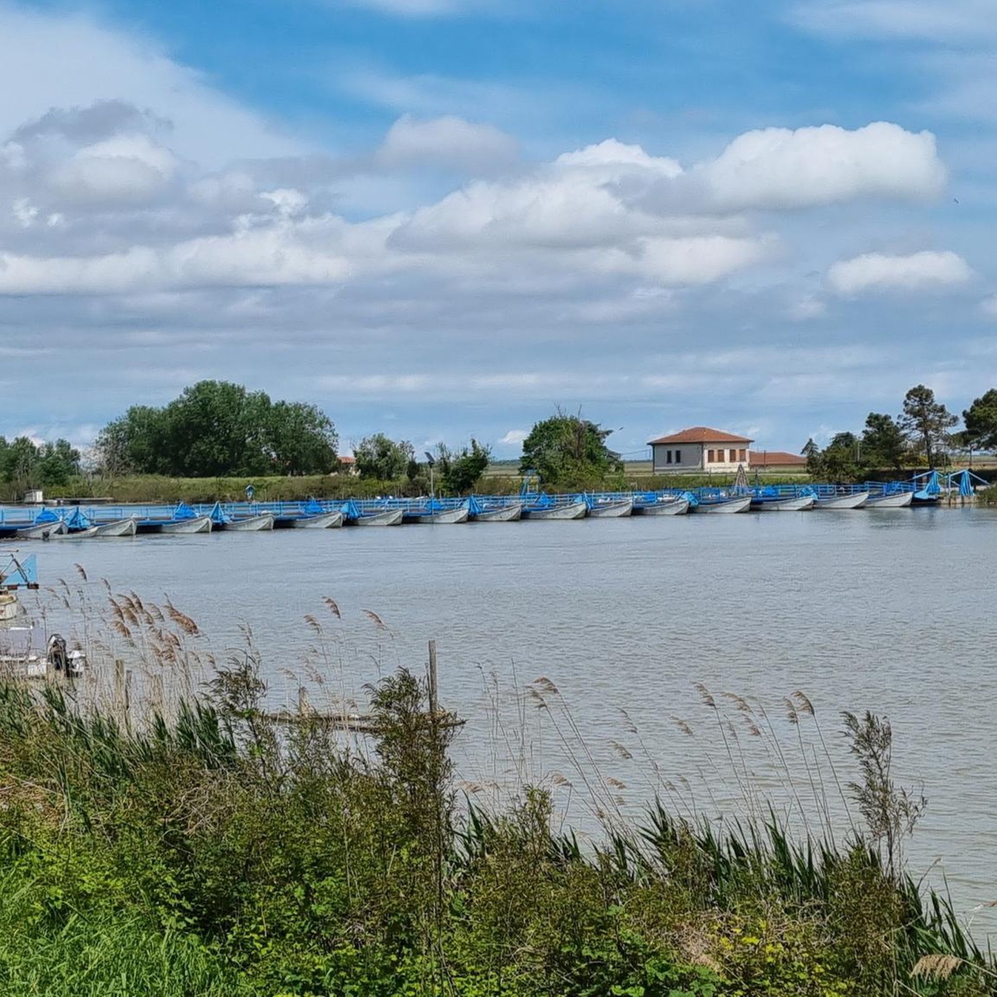
Hiking around Taglio Di Po
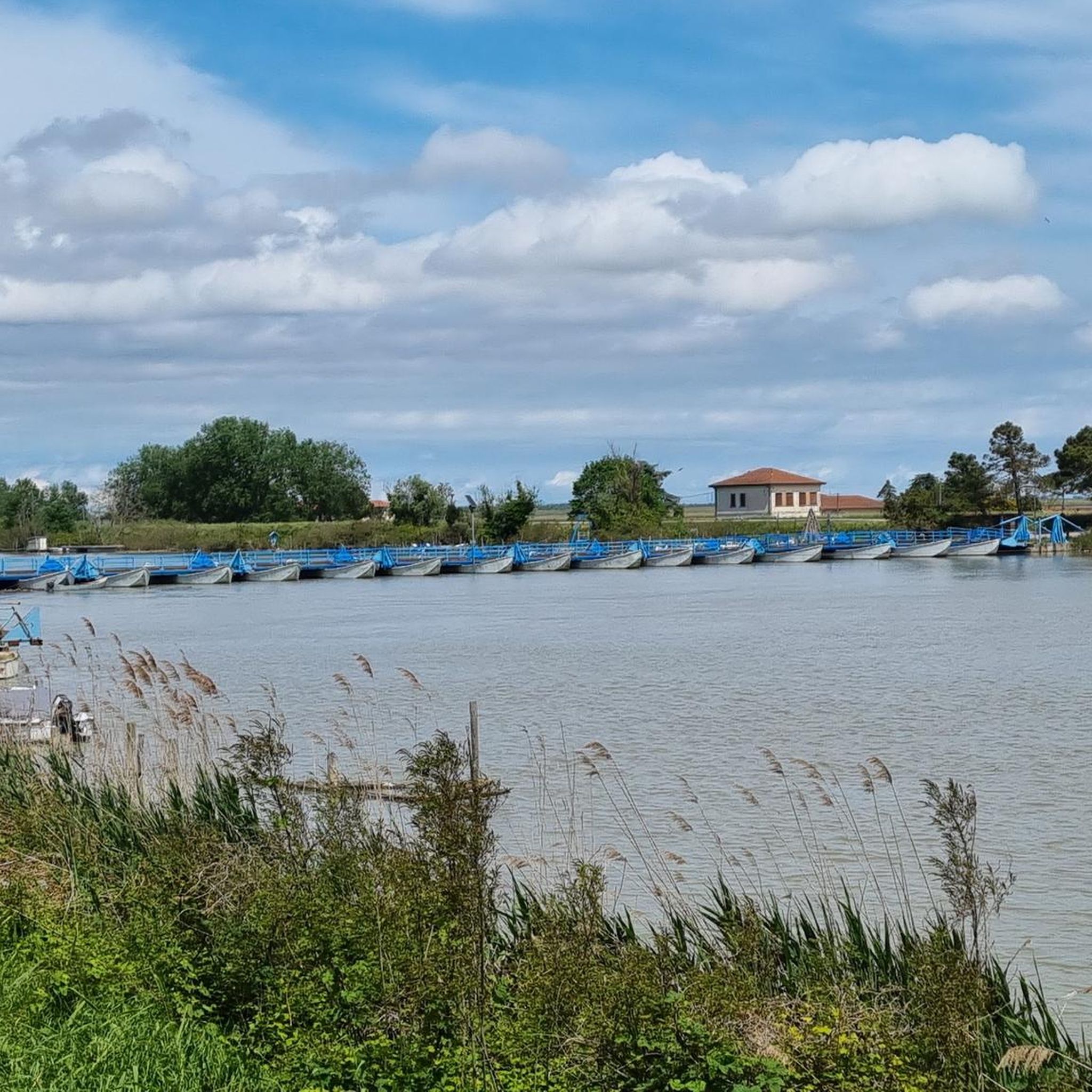
Road Cycling Routes around Taglio Di Po
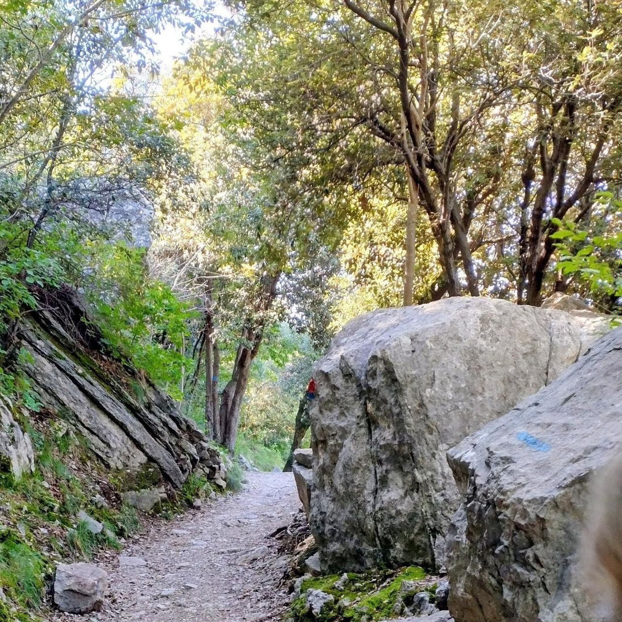
Gravel biking around Taglio Di Po
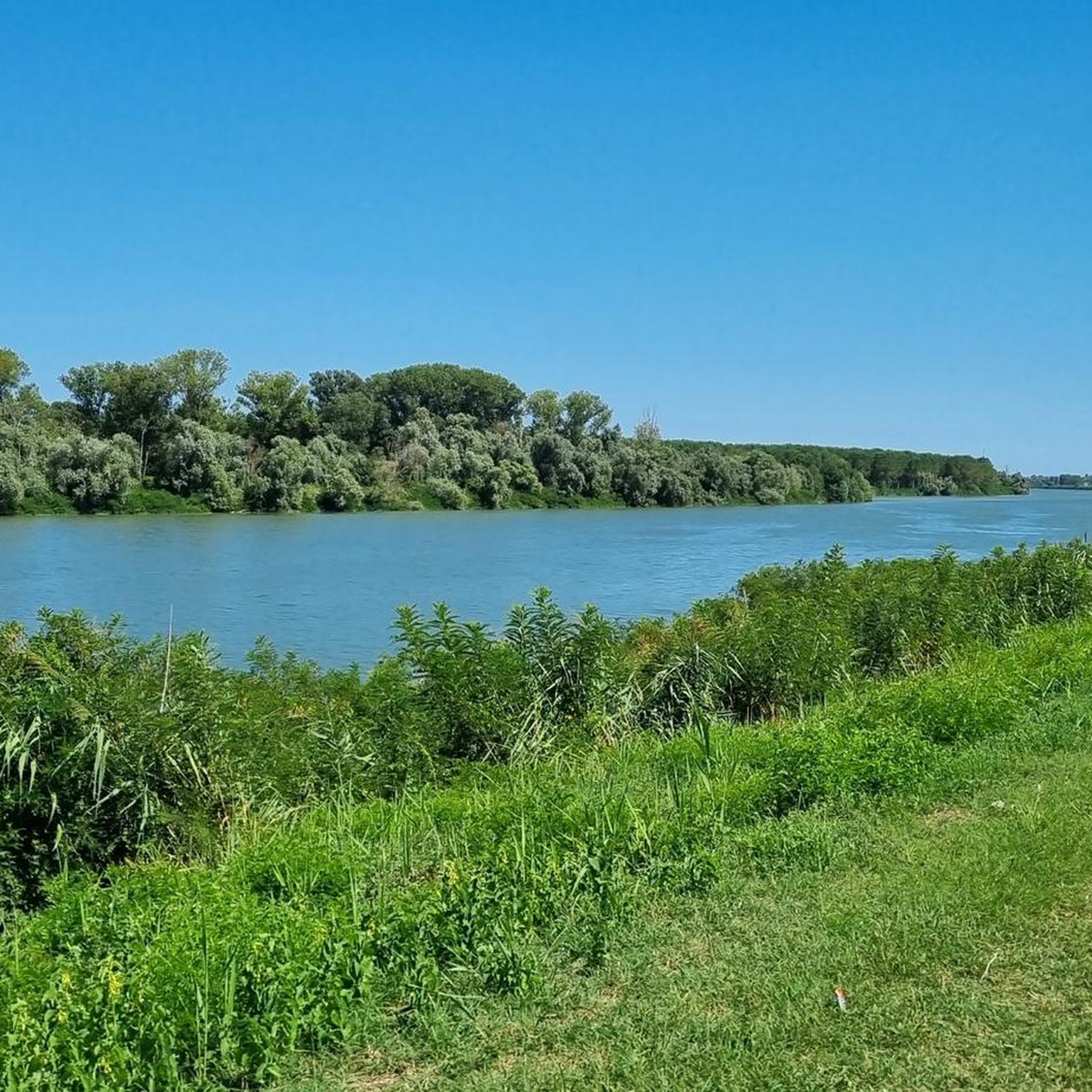
Cycling around Taglio Di Po
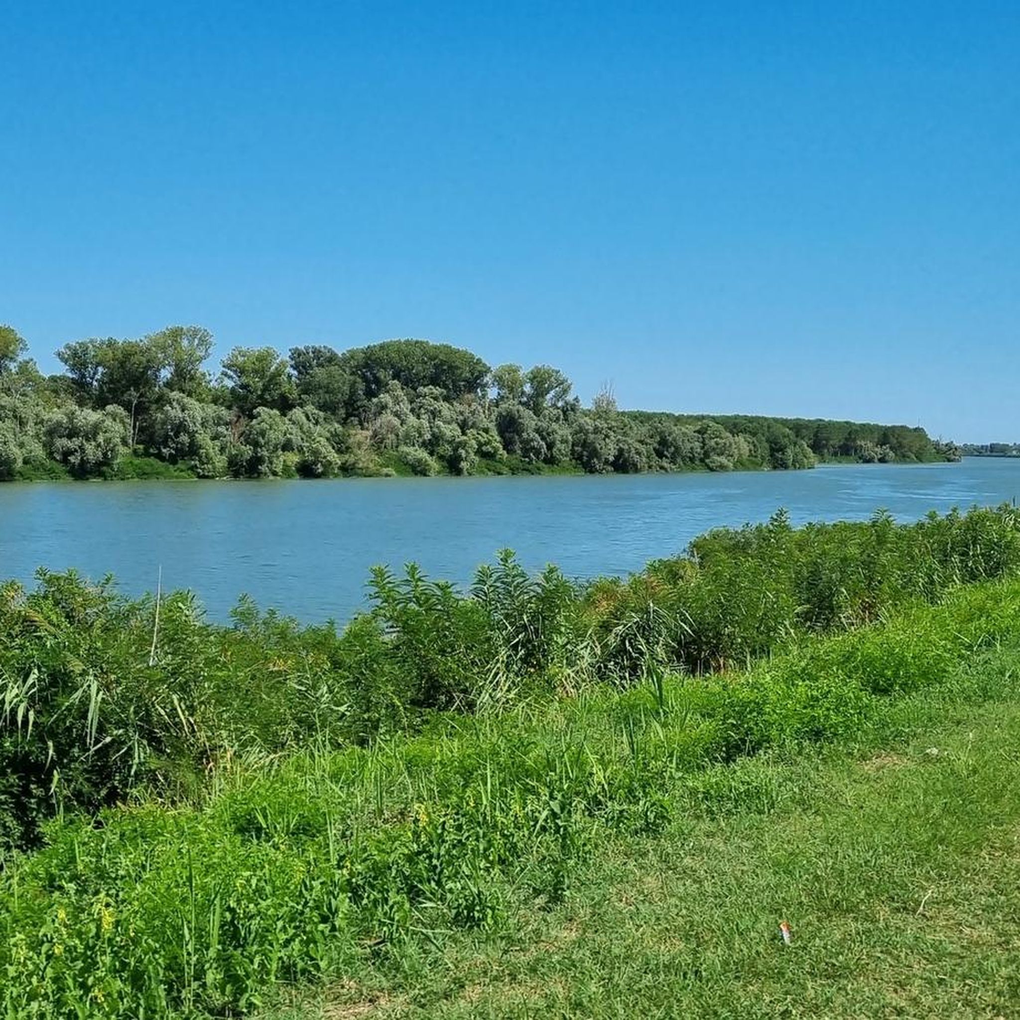
Running Trails around Taglio Di Po


Tips from the Community

The "Damm der Engel" / "L'Argine degli Angeli" – is a spectacular cycling and hiking trail. It runs from the Bellocchio canal for approx. 6 km over the waters of the Comacchio lagoon on a dam with a fine gravel surface and a width of approx. two meters. At the start, the path seems never-ending. The further you cycle into and over the lagoon, the wider and more expansive the lagoon lake becomes. Enchanting water reflections alternate to the right and left of the dam, and sometimes cloud formations look like they have been painted. A route where there is no place for haste, it is time to pause and enjoy… Rating: particularly valuable and unique… Photos speak louder than words!
1
0
A historic place where you can take a nice break. Inside the small church, exhibits and pictures/photos from earlier times are on display. This gives you a connection to the fishing life in the waters... definitely a place to linger and reflect.
0
0

An experience - ride over it sometime
0
0

Fantastic route in the middle of nature and then a cycle-pedestrian "highway" in the middle of the forest
2
0

views as far as the eye can see, beautiful ground, very easy
1
0
very charming to cross the bridge
0
0

Show
1
0
ancient guardhouse, characteristic for its position in the middle of the water and reachable by a wooden walkway
0
0
Frequently Asked Questions
How many mountain bike trails are there in Taglio Di Po?
There are over 100 mountain bike trails around Taglio Di Po, offering a wide range of options for different skill levels. The komoot community has mapped 119 routes in total.
Are there easy mountain bike trails suitable for beginners in Taglio Di Po?
Yes, Taglio Di Po offers 26 easy mountain bike trails, perfect for beginners or those looking for a relaxed ride. The flat terrain of the Po Delta makes many routes accessible. An example is the Po di Goro – Faro di Gorino loop from Gorino Veneto, which is 19.2 miles (30.9 km) long and features minimal elevation gain.
What about more challenging mountain bike trails for experienced riders?
While the region is generally flat, there are 4 difficult mountain bike trails for experienced riders seeking longer distances and varied surfaces. These routes often explore more remote parts of the delta, focusing on endurance rather than steep climbs.
Are there any family-friendly mountain bike routes in the area?
Many of the easy and moderate trails in Taglio Di Po are suitable for families, thanks to the region's flat and well-maintained paths. These routes often follow riverbanks or coastal paths, providing safe and scenic environments away from heavy traffic. Look for routes marked as 'easy' on komoot for the best family options.
Can I find mountain bike trails that are loop routes?
Yes, many mountain bike trails in Taglio Di Po are designed as loops, allowing you to start and finish at the same point. For example, the Sacca di Goro Waterfront – View of the Po Delta near Goro loop from Goro is a moderate 32.8-mile (52.7 km) loop that offers extensive views of the delta.
What kind of distances can I expect on mountain bike trails around Taglio Di Po?
Mountain bike trails in Taglio Di Po vary significantly in distance. You can find shorter routes, like the 19.2-mile (30.9 km) Po di Goro – Faro di Gorino loop from Gorino Veneto, as well as much longer options such as the 52.5-mile (84.5 km) Sacca di Goro Waterfront – Scardovari Basin loop from Gorino, catering to various preferences for ride length.
What are some scenic viewpoints or attractions I can see along the mountain bike trails?
The trails often pass through the unique landscapes of the Po Delta. You can encounter highlights such as the Via delle Valli, Po Delta Regional Park, the Mesola Forest Nature Reserve, or the Po di Gnocca Pontoon Bridge. These offer great opportunities for scenic breaks and exploration.
What do other mountain bikers say about the trails in Taglio Di Po?
The mountain bike trails in Taglio Di Po are highly rated by the komoot community, with an average score of 4.5 stars from over 400 reviews. Riders often praise the peaceful delta landscapes, the extensive network of flat paths, and the opportunities for long, scenic rides.
When is the best time of year to go mountain biking in Taglio Di Po?
The best time for mountain biking in Taglio Di Po is typically during spring (April-May) and autumn (September-October). During these seasons, the weather is mild and pleasant, and the natural scenery of the Po Delta is particularly vibrant. Summers can be hot, and winters can be damp and chilly.
Is it possible to go mountain biking in Taglio Di Po during winter?
Mountain biking in Taglio Di Po during winter is possible, but be prepared for cooler temperatures, potential fog, and damp conditions. The flat terrain means trails are generally rideable, but some paths might be muddy after heavy rain. Always check the local weather forecast before heading out.
Are there options for parking near the mountain bike trails?
Yes, many starting points for mountain bike trails in Taglio Di Po, especially in towns like Goro or Gorino, offer public parking facilities. It's advisable to check specific route descriptions on komoot for detailed parking information at the trailhead.
How accessible are the mountain bike trails by public transport?
Public transport options to reach trailheads in the Po Delta region can be limited. While some towns are served by local buses, direct access to more remote trail starting points might require a car. Planning your route in advance and checking local transport schedules is recommended.
Are there places to stop for refreshments or cafes along the trails?
Along some of the more popular routes and near towns, you may find cafes, restaurants, or small shops to stop for refreshments. However, many trails traverse natural and agricultural areas, so it's always a good idea to carry sufficient water and snacks, especially on longer rides.
Most popular routes around Taglio Di Po
Most popular attractions around Taglio Di Po

Get inspired with the komoot mobile app


Explore more
Browse the best MTB trails in other regions.
