The best road cycling routes around San Colombano Certenoli
4.2
(889)
13,461
riders
116
rides
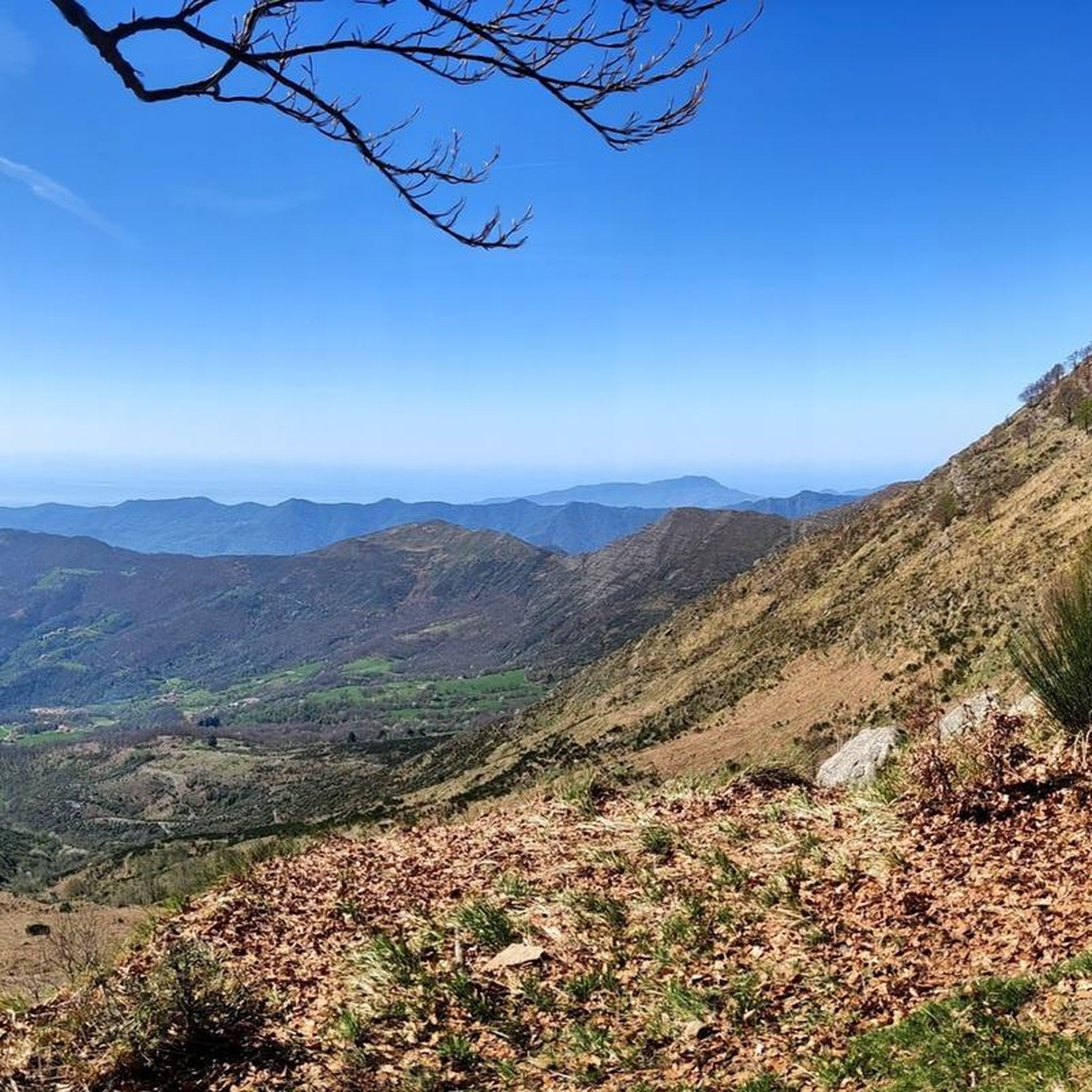
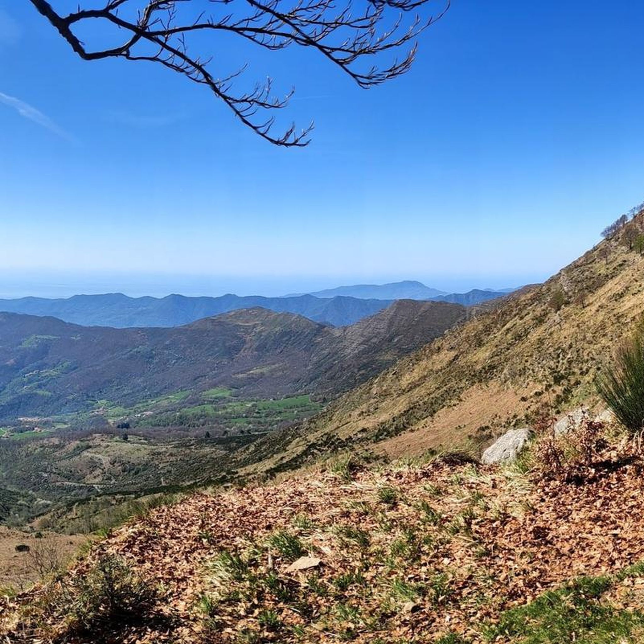
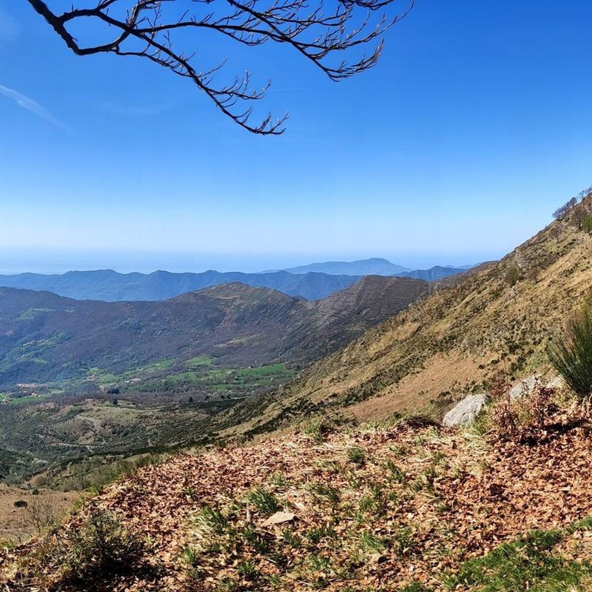
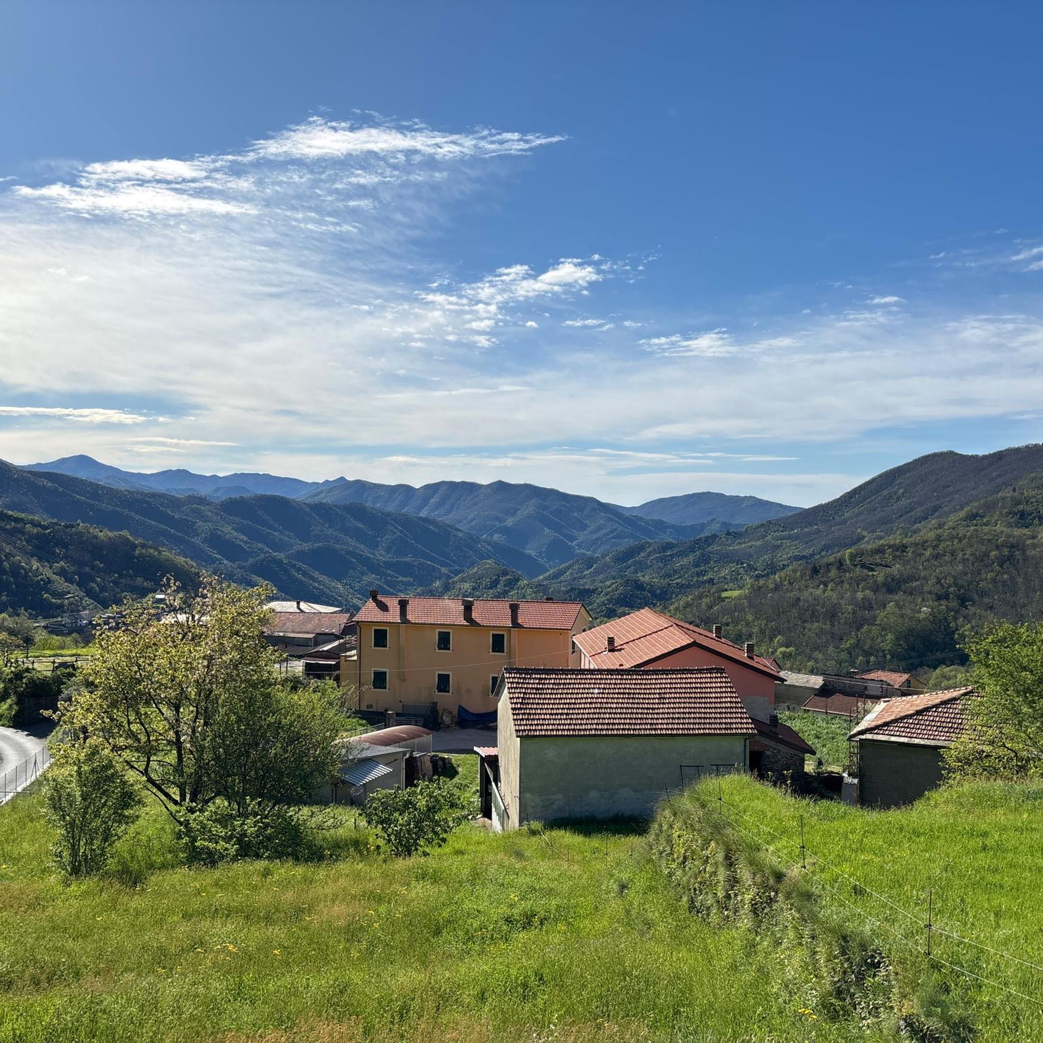
Road cycling routes around San Colombano Certenoli traverse the green hills and valleys of Liguria, Italy. The region features diverse terrain, ranging from flat valley floors with cultivated areas to mountainous zones, including the prominent Mount Ramaceto. Cyclists encounter a landscape shaped by rivers like the Lavagna and Cicana, alongside terraced slopes indicative of historical agricultural practices.
Best road cycling routes around San Colombano Certenoli
- The most popular road cycling route is Bocco Pass – Passo di Cento Croci (1,055…
Last updated: October 18, 2026
3.4
(58)
483
riders
41.4km
02:14
790m
790m
Moderate road ride. Good fitness required. Mostly well-paved surfaces and easy to ride.
4.5
(25)
460
riders
93.6km
04:55
1,660m
1,660m
Hard road ride. Very good fitness required. Mostly well-paved surfaces and easy to ride.

4.7
(13)
279
riders
106km
05:50
2,130m
2,130m
Hard road ride. Very good fitness required. Mostly well-paved surfaces and easy to ride.
3.9
(11)
152
riders
91.2km
04:46
1,600m
1,600m
Hard road ride. Very good fitness required. Mostly well-paved surfaces and easy to ride.
4.0
(6)
145
riders
81.0km
04:26
1,570m
1,570m
Hard road ride. Very good fitness required. Mostly well-paved surfaces and easy to ride.
Get access to more routes and recommendations from other explorers.
Already have an account?
Our route recommendations are based on thousands of hikes, rides, and runs completed by other people on komoot.
Start today with a free account
Your next adventure awaits.

Tips from the Community

from Valle Sturla to Val d'Aveto
0
0

very beautiful view, but tiring to get there from both directions
0
0

The scenic road between Lavagna and Cavi is an alternative route to the Via Aurelia that skirts the hills and offers a splendid view of the sea. Main features Route: A narrow and winding road ideal for avoiding traffic on the coastal road. Activities: It is a highly recommended stretch for road cycling and scenic walks. Elevation gain: It features a slight climb of about 50 meters and a descent of 40 meters.
0
0
Passo della Mola (or Valico della Mola) is a mountain pass at an altitude of approximately 650-655 meters, located in Liguria, between the province of La Spezia and the metropolitan city of Genoa. It connects the coastal area to the Val di Vara (municipality of Carro). Main characteristics Altitude: 650 - 655 m a.s.l. Location: Connects the area of Carro and Velva, serving as an alternative to the better-known Passo del Bracco. Road: It is traversed via the Provincial Road 50 (SP50). The road has a narrow carriageway, generally moderate gradients, but with several curves and tight hairpin bends. Panorama: On clear days, it offers a view stretching from the Maritime Alps to the Apuan Alps.
0
0

From here you can get everywhere!
0
0
..an infinite pleasure to quench your thirst here..
0
0
Frequently Asked Questions
How many road cycling routes are available around San Colombano Certenoli?
There are over 100 road cycling routes available around San Colombano Certenoli, offering a wide range of options for different skill levels and preferences.
What is the general difficulty level of road cycling routes in San Colombano Certenoli?
The routes in San Colombano Certenoli cater to various abilities. You'll find approximately 16 easy routes, 31 moderate routes, and 53 difficult routes, ensuring options for beginners to advanced cyclists.
What kind of terrain can I expect on road cycling routes in San Colombano Certenoli?
Road cycling in San Colombano Certenoli offers diverse terrain, from flat valley floors with cultivated areas to mountainous zones. You'll encounter green hills, terraced slopes, and ascents towards peaks like Mount Ramaceto, providing a mix of challenges and scenic views.
Are there any easy road cycling routes suitable for beginners?
Yes, there are several easy routes. For example, the View of Lavagna loop from Carasco is an easy 18.8-mile (30.3 km) trail that leads through the Val Fontanabuona, typically completed in about 1 hour 14 minutes.
Can I find challenging road cycling routes with significant climbs?
Absolutely. The region is known for its challenging mountain passes. A difficult option is the Bocco Pass – Passo di Cento Croci (1,055 m) loop from Prati di Mezzanego, a 58.0-mile (93.3 km) route with significant elevation gain, taking around 5 hours 27 minutes.
Are there any long-distance road cycling routes for experienced riders?
For experienced riders seeking longer distances, routes like the Bocco Pass – Passo di Cento Croci (1,055 m) loop from Prati di Mezzanego, at 58.0 miles (93.3 km), offer a substantial challenge. Another option is the Forcella Pass – Chiavari Seafront loop from Zoagli, which is 50.4 miles (81.1 km) and combines mountain pass ascents with coastal views.
What natural features or viewpoints can I see along the road cycling routes?
The routes offer stunning natural beauty. You might pass through picturesque chestnut groves, ancient pastures, and terraced slopes. Keep an eye out for the impressive Mount Ramaceto with its beech woods and rocky sandstone outcrops. The region also features the rivers Lavagna and Cicana, and a distinctive bamboo plantation in Aveggio.
What historical or cultural attractions can I explore near the cycling routes?
Beyond the natural environment, you can visit the Lascito Cuneo in Calvari, which houses a civic library and a small museum dedicated to rural life. The Parish Church of San Michele in Romaggi is another notable site. For broader exploration, the region provides access to coastal towns like Portofino and Sestri Levante, the iconic Cinque Terre, and the historic San Fruttuoso Abbey and Bay.
Are there any road cycling routes that offer coastal views?
Yes, some routes combine inland climbs with glimpses of the Ligurian Sea. The Forcella Pass – Chiavari Seafront loop from Zoagli is a great example, offering both mountain pass ascents and coastal vistas along the Ligurian Sea.
What do other cyclists say about road cycling in San Colombano Certenoli?
The road cycling routes in San Colombano Certenoli are highly rated by the komoot community, with an average score of 4.2 stars from over 600 reviews. Cyclists often praise the varied terrain, the scenic green valleys, and the challenging mountain passes.
Are there any circular road cycling routes available?
Many of the routes in the area are designed as loops, allowing you to start and finish in the same location. Examples include the Bocco Pass – Passo di Cento Croci (1,055 m) loop from Prati di Mezzanego and the View of Lavagna loop from Carasco.
Can I find routes that offer views of nearby towns or landmarks?
Yes, several routes provide scenic overlooks. For instance, the View of Sestri Levante loop from Carasco offers beautiful vistas of the coastal town of Sestri Levante. You might also catch views of the Portofino Harbor or the Portofino Lighthouse from certain points.
Most popular routes around San Colombano Certenoli
Most popular attractions around San Colombano Certenoli

Get inspired with the komoot mobile app


Explore more
Browse the best Road cycling routes in other regions.
