The best walks and hikes around Neirone
4.5
(1789)
6,771
hikers
185
hikes
Hiking trails around Neirone provide access to the mountainous terrain of the Ligurian Apennines, characterized by forested valleys, rocky ridges, and varied elevations. The region features a network of trails that traverse through dense woodlands and open mountain slopes. These paths offer diverse hiking experiences, from gentle ascents to more challenging climbs.
Best hiking trails around Neirone
- The most popular hiking route is A13 Scoglina Loop, a 6.2 miles (10.0 km) trail that takes 3 hours 31 minutes to complete. This moderate route explores the local landscape with varied terrain.
- Another top favourite among local hikers is Monte Caucaso Loop from Neirone, a difficult 6.9 miles (11.2 km) path. This trail offers significant elevation gain and panoramic views from Monte Caucaso.
- Local hikers also love the Monte Lavagnola summit trail from Gattorna, a 10.4 miles (16.8 km) trail leading through mountain forests and open ridges, often completed in about 5 hours 43 minutes.
- Hiking around Neirone is defined by mountain paths, dense woodlands, and open ridges, with options for both easy and challenging routes. The network offers options for different ability levels, from short walks to long day hikes Neirone.
- The routes in Neirone are highly rated by the komoot community with an average score of 4.6 stars from more than 1400 reviews. More than 5800 hikers have used komoot to explore Neirone's varied terrain.
Last updated: October 10, 2026
4.6
(68)
191
hikers
9.99km
03:31
410m
410m
Hike the moderate 6.2-mile Rifugio Barbagelata e Monte Caucaso loop for stunning 360-degree views from the summit.
5.0
(1)
8
hikers
11.2km
05:17
860m
860m
Hike the difficult Monte Caucaso Summit Trail from Neirone (via Route 211) for 7.0 miles and 2834 feet of elevation gain.

2
hikers
16.8km
05:44
830m
830m
Forest trail to Monte Lavagnola summit with sweeping views over three Ligurian valleys.
Historic mountain trade route through two scenic passes in Liguria's wild interior.
Forest ridgeline walk through Italy's highest mountain village on ancient trade routes.
Get access to more routes and recommendations from other explorers.
Already have an account?
Our route recommendations are based on thousands of hikes, rides, and runs completed by other people on komoot.
Start today with a free account
Your next adventure awaits.
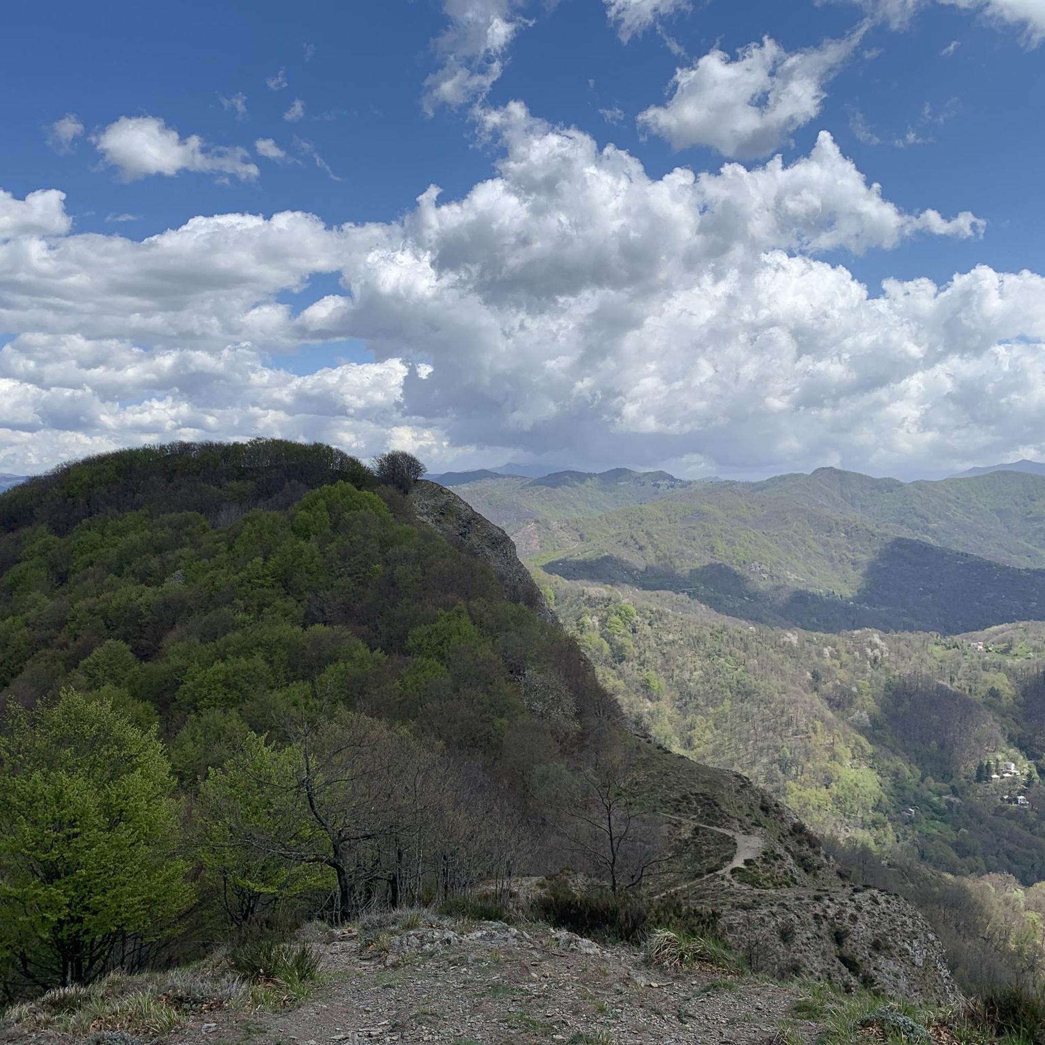
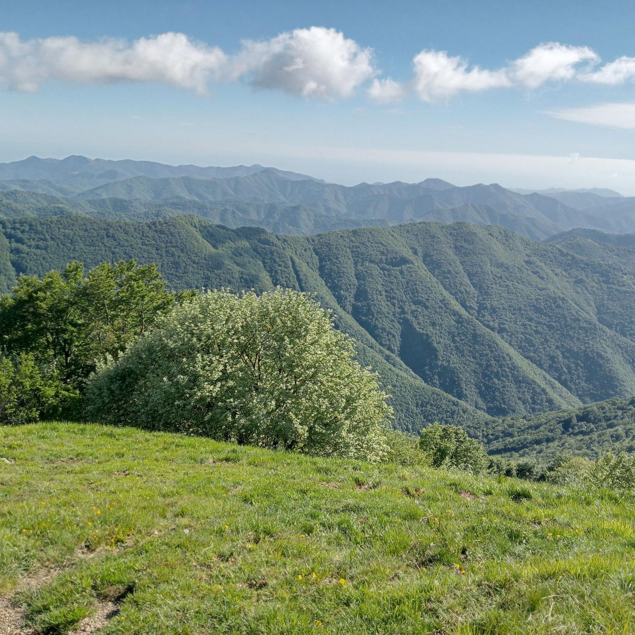
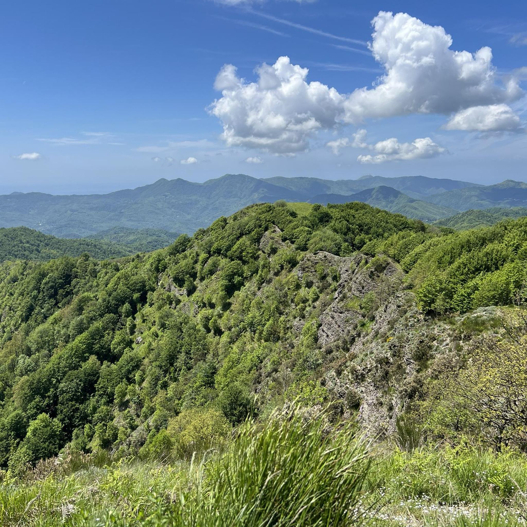
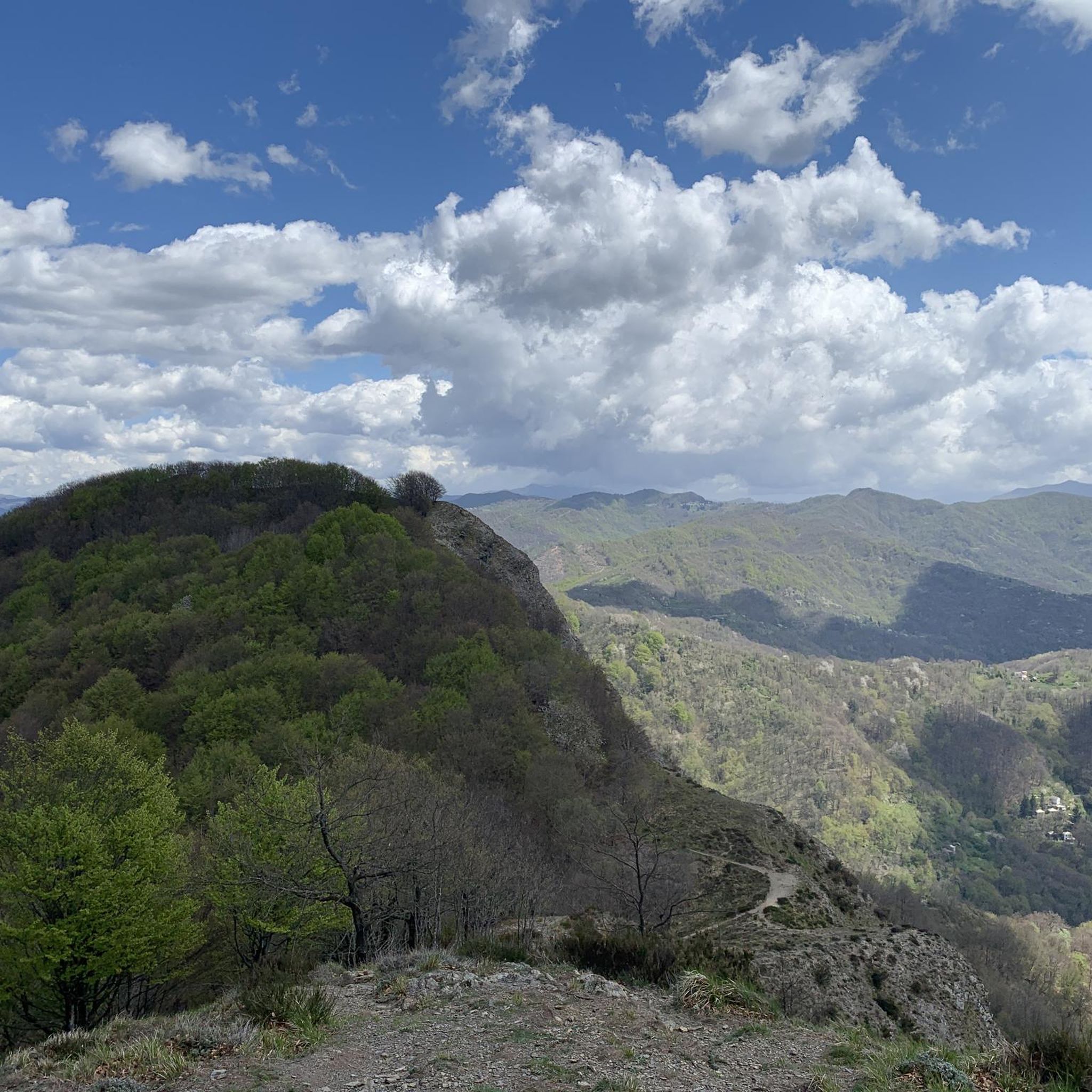
Tips from the Community

From here you can get everywhere!
0
0


Once I reach the Scoglina pass, at 920 meters above sea level, a table with a bench invites you to rest for a moment before continuing with the descent. Here there is also a monument to the Partisans.
0
0

Located along the Alta Via, at an altitude of 1150 m, the Barbagelata Refuge has two rooms, for a total of 12 beds, two bathrooms with shower and hot water, terrace. https://www.cailiguria.it/AVML/portale/it/ospview4f1e.html?contentId=OSP1658
1
0

A breathtaking view of the Ligurian Sea and the surprise of finding the shelter open for a quick snack (November 2022)... A place accessible to all that definitely deserves to be visited.
0
0

You can't miss a stop at the refuge! even for just one coffee! Dear managers!
0
0
If you get to the top, you can't miss the refuge ... even just for a coffee! very kind managers!
0
0
If you get to the top, you can't help but pass by the refuge! at least for a coffee ... excellent canestrelli!
0
0
Frequently Asked Questions
How many hiking trails are available around Neirone?
Neirone offers a wide variety of hiking experiences, with over 170 trails documented on komoot. These range from easy strolls to challenging mountain ascents, catering to different fitness levels and preferences.
Are there easy hiking options suitable for beginners or families in Neirone?
Yes, Neirone has several easy hiking options. There are 14 trails classified as easy, perfect for beginners or families looking for a relaxed outdoor experience. These routes typically feature gentle ascents and well-maintained paths.
What are some options for longer day hikes in Neirone?
For those seeking a longer day hike, consider routes like the Monte Lavagnola summit trail from Gattorna, which is 10.4 miles (16.8 km) long. Another option is the Monte Caucaso Loop from Neirone, a challenging 6.9 miles (11.2 km) path with significant elevation gain.
Are there circular hiking routes in Neirone?
Yes, many trails in Neirone are designed as loops, allowing you to start and end at the same point. A popular circular route is the A13 Scoglina Loop, which is 6.2 miles (10.0 km) long and offers varied terrain.
Which trails offer the best panoramic views in Neirone?
For breathtaking panoramic views, consider trails that ascend to higher elevations. The Monte Caucaso Loop from Neirone is known for its extensive vistas from Monte Caucaso. You can also find stunning viewpoints from summits like Mount Antola or Monte Lavagnola Summit, which are accessible via various routes.
What kind of natural attractions can I see along the hiking trails in Neirone?
The trails around Neirone lead through diverse natural landscapes, including dense woodlands, open mountain slopes, and rocky ridges of the Ligurian Apennines. You can explore natural monuments such as Mount Antola, Monte Manico del Lume Summit, and the Summit of Monte Bado.
Are there any interesting landmarks or cultural sites near the hiking routes?
Beyond natural beauty, you can discover interesting landmarks. The Monument to the Redeemer is a notable man-made monument. Additionally, the region features historical sites like the Thousand-Year-Old Church of Ruta, offering a glimpse into local heritage.
When is the best time of year to hike in Neirone?
The mountainous terrain of the Ligurian Apennines makes spring and autumn ideal for hiking in Neirone, with pleasant temperatures and vibrant foliage. Summer can also be suitable, especially for higher altitude trails, while winter hikes are possible but may require appropriate gear for snow and ice conditions.
What do other hikers enjoy most about hiking in Neirone?
The hiking trails in Neirone are highly regarded by the komoot community, with an average rating of 4.6 stars from over 1400 reviews. Hikers frequently praise the varied terrain, the beauty of the dense woodlands, and the panoramic views from the ridges.
Are there challenging hikes for experienced trekkers in Neirone?
Yes, Neirone offers 49 difficult trails for experienced hikers. These routes often feature significant elevation gains and rugged terrain. An example is the Monte Caucaso Loop from Neirone, which presents a substantial challenge with its steep climbs.
Can I hike with my dog on the trails around Neirone?
Many trails in the Neirone area are suitable for hiking with dogs, allowing you to enjoy the natural surroundings with your canine companion. However, it's always advisable to keep dogs on a leash, especially in protected areas or near livestock, and to check local regulations for specific routes.
Are there less crowded hiking trails or 'hidden gems' in Neirone?
While popular routes like the A13 Scoglina Loop attract many, Neirone's extensive network of over 170 trails means there are many opportunities to discover quieter paths. Exploring some of the less-traveled moderate or difficult routes, such as sections of the Alta Via dei Monti Liguri, can lead you to more secluded natural beauty.
Most popular attractions around Neirone

Get inspired with the komoot mobile app


Explore more
Browse the best Hikes in other regions.
