Top 12 Mountain Passes around Serra Riccò
Best mountain passes to hike near Serra Riccò are located in the Ligurian Apennines, offering routes that connect valleys and provide views of the surrounding landscape. The area features a mix of intermediate trails and paved roads, suitable for various activities. Serra Riccò is situated near Genoa, providing access to both mountainous terrain and coastal vistas. The region's passes serve as historical routes and current recreational paths.
Best mountain passes around Serra Riccò
- The most popular mountain passes is Passo…
Last updated: June 26, 2026
Passo della Bocchetta (772 m)
Highlight • Mountain Pass
Translated by Google •
Tip by

Castagnola Pass
Highlight • Mountain Pass
Translated by Google •
Tip by
Sign up now to discover places like this
Get recommendations on the best single tracks, peaks, & plenty of other exciting outdoor places.
Sign up for free
Colle Gandolfi
Highlight • Mountain Pass
Translated by Google •
Tip by

Scenic Picnic Area at Passo della Bocchetta
Highlight • Rest Area
Translated by Google •
Tip by
Trensasco Pass
Highlight • Mountain Pass
Translated by Google •
Tip by

Sign up for free to discover even more mountain passes around Serra Riccò.
Sign up for free
Already have an account?
Start today with a free account
Your next adventure awaits.
Login or Signup
Popular around Serra Riccò
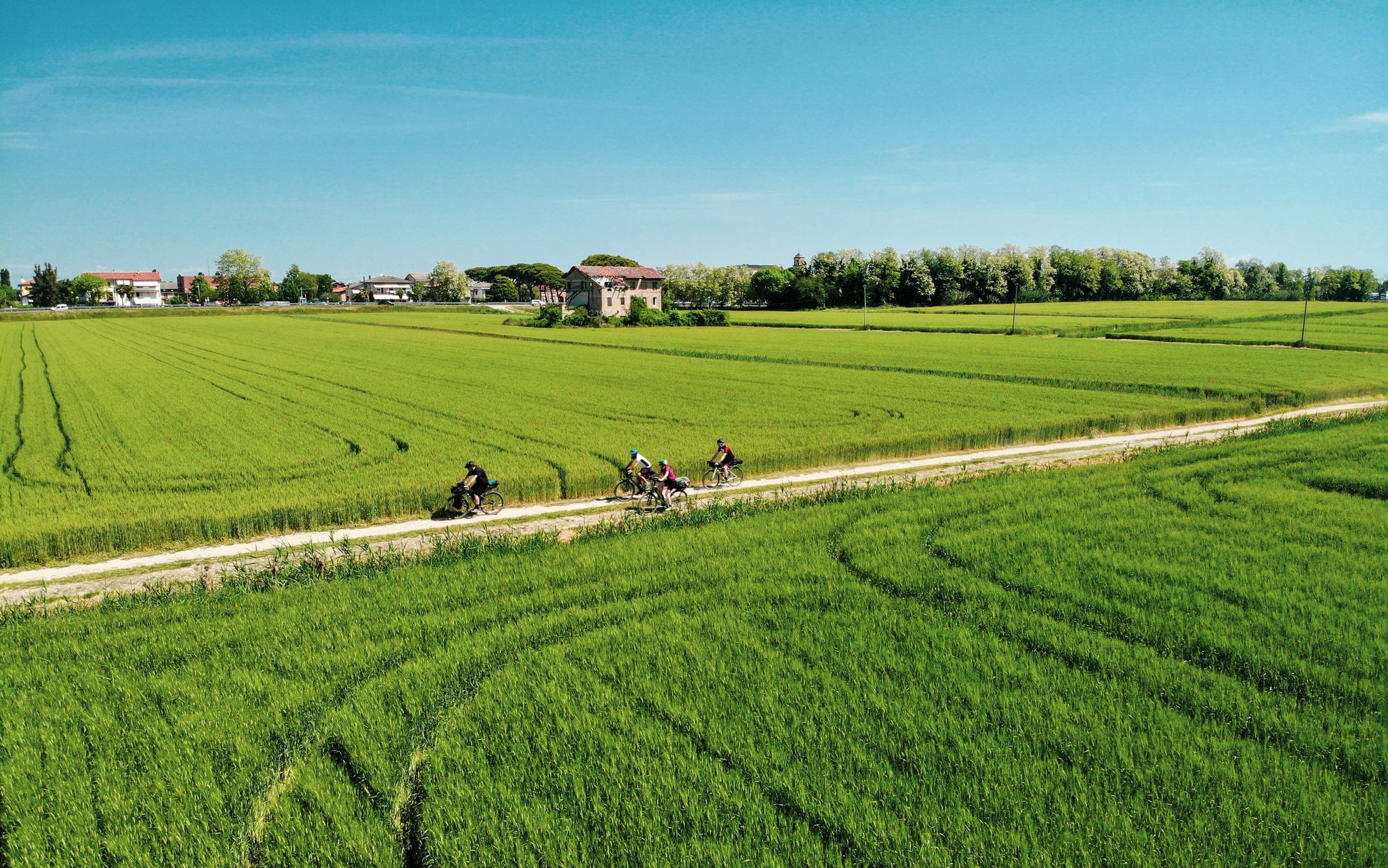
Ride through Italy’s Po Valley – a pilgrimage on the Via Postumia
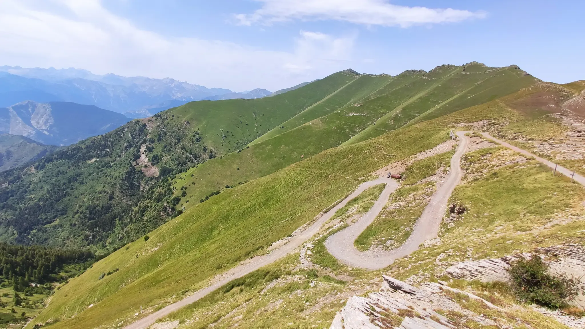
MTB between sky, land and sea – Italy’s Alta Via dei Monti Liguri
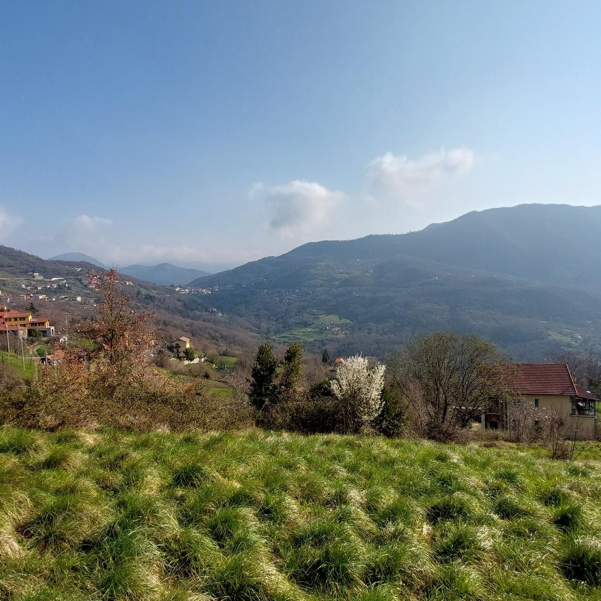
Hiking around Serra Riccò
Road Cycling Routes around Serra Riccò
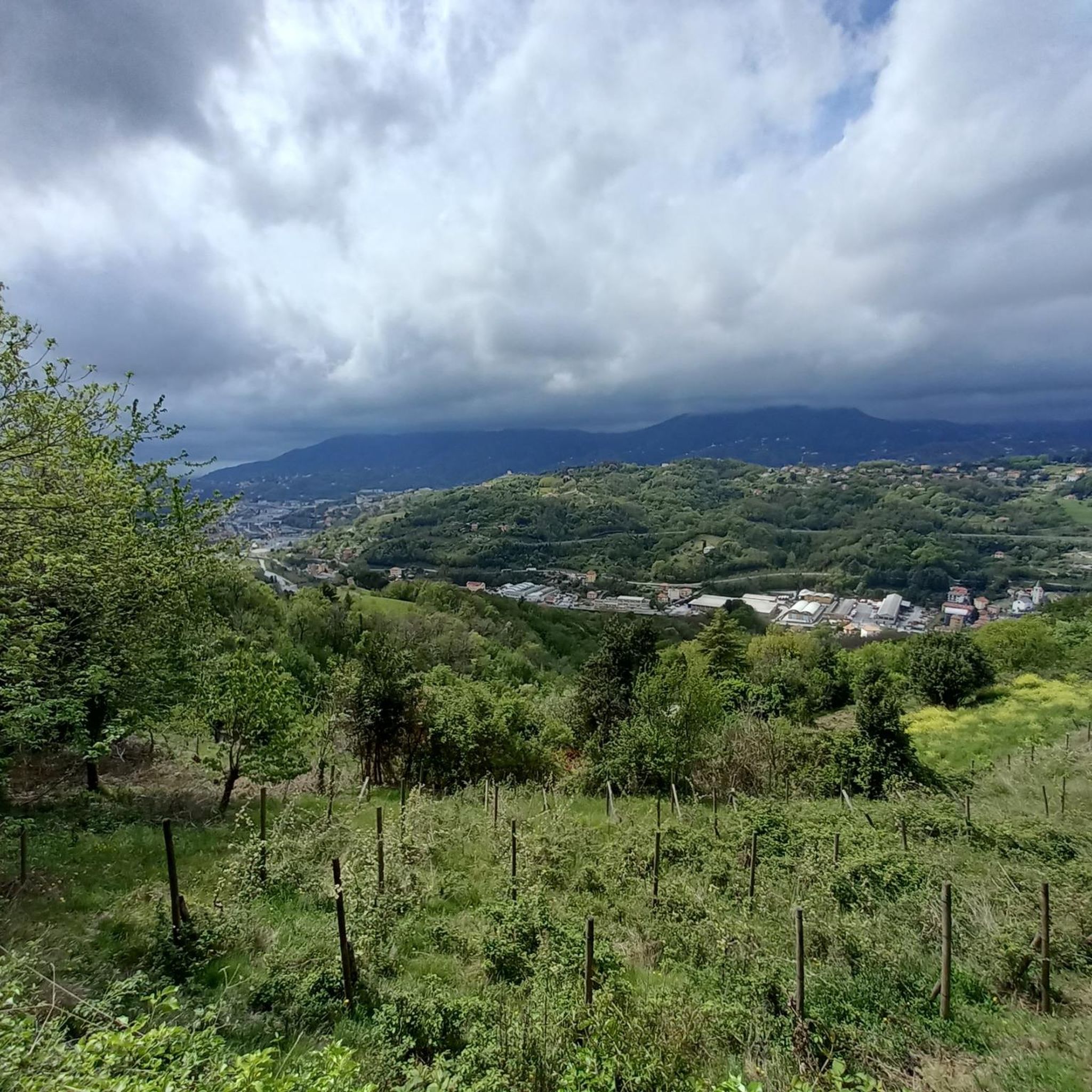
MTB Trails around Serra Riccò
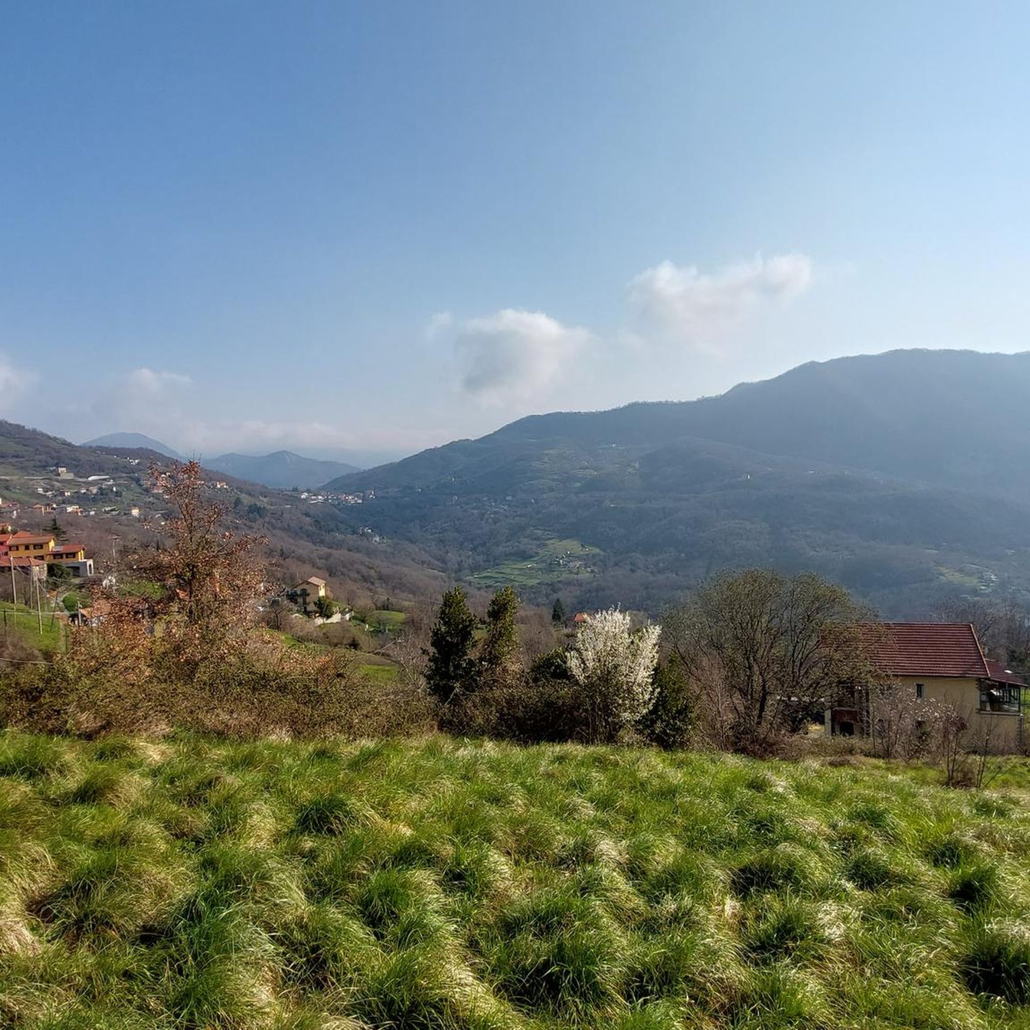
Cycling around Serra Riccò
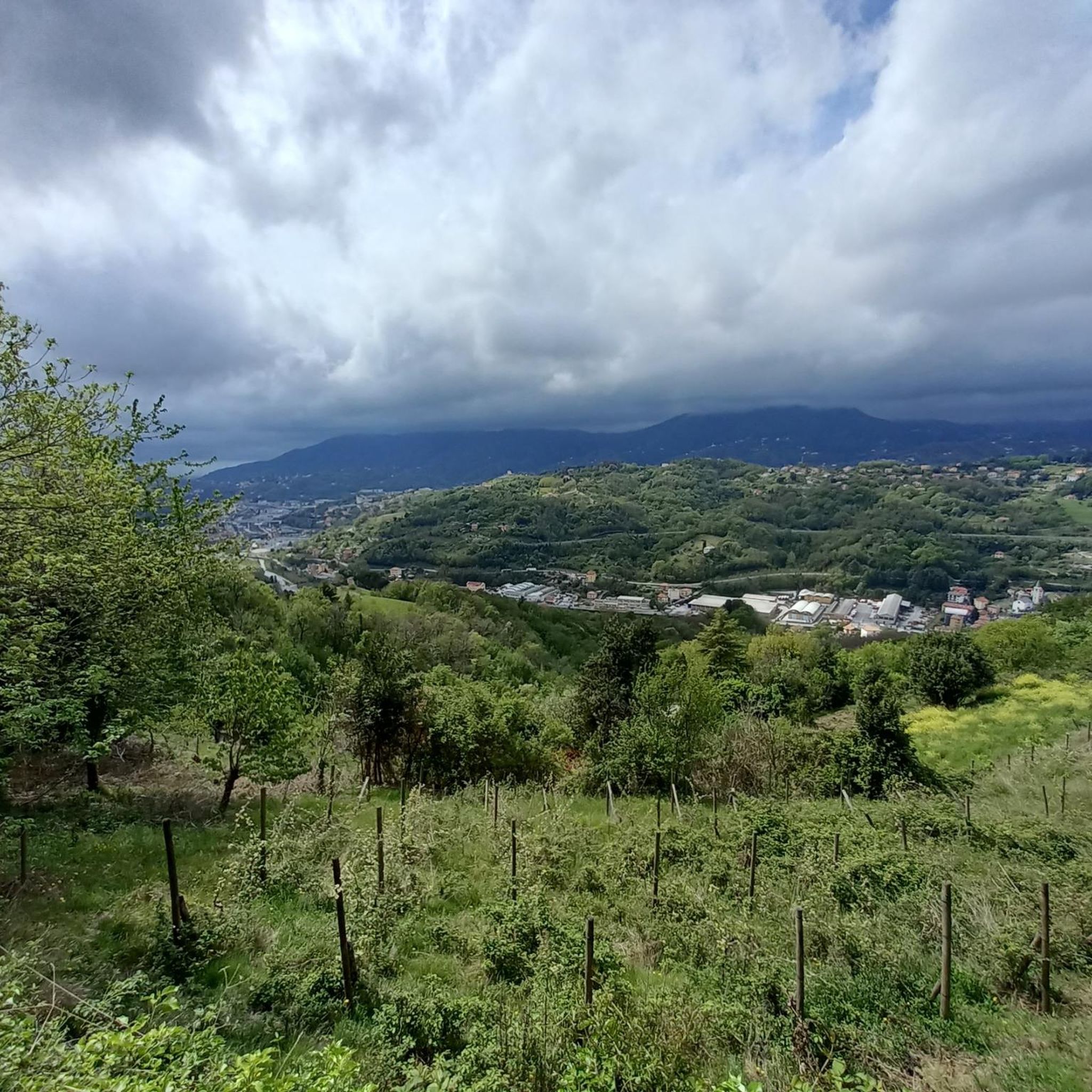
Running Trails around Serra Riccò
Gravel biking around Serra Riccò


Tips from the Community

It is located along the Appennino bike tour route and, coming up from Voltaggio, it is an easy and very rewarding climb, both for the views and for the absence of traffic.
3
0


Easy climb with asphalt in good condition.
26
0
At the top of the Bocchetta Pass you will find the giant bench.
20
0
Not a difficult step, at the top you can enjoy an excellent view.
20
0

The Castagnola pass connects the upper Val Lemme with the upper Valle Scrivia. The pass is located in the Ligurian Apennines on the border with the municipalities of Fraconalto in Piedmont and Ronco Scrivia in Liguria. The pass is connected via a provincial road that starts from Voltaggio and ends in Borgo Fornari. 590 m above sea level
2
0

big bench ontop of the Passo della Bocchetta, good views
0
0

It is the connection point between the hiking trails for Piani di Praglia, for San Carlo di Cese, for Monte Penello and Punta Martin, and for Passo del Turchino. It is located along the 22nd stage of the Alta Via dei Monti Liguri (Turchino–Praglia).
0
0
Frequently Asked Questions
What are the general characteristics of mountain passes around Serra Riccò?
The mountain passes around Serra Riccò are primarily located in the Ligurian Apennines. They offer a mix of intermediate trails and paved roads, suitable for various activities like cycling and hiking. These passes often connect valleys and provide scenic views of the surrounding landscape, including the Gulf of Genoa from higher elevations.
What are some popular mountain passes to visit near Serra Riccò?
Among the popular passes, you can find Passo della Bocchetta (772 m), known for its easy asphalt climb and drinking water at the top. Another notable pass is Castagnola Pass, an intermediate route connecting the upper Val Lemme with the upper Valle Scrivia. Colle Gandolfi, at 936 meters, offers splendid views of the Gulf of Genoa from its grassy plateau.
Are there family-friendly spots or facilities at the mountain passes?
Yes, at the top of Passo della Bocchetta, there is a Scenic Picnic Area. This spot features a giant bench and is a pleasant place to take a break and enjoy the panorama, making it suitable for families.
What kind of views can I expect from the mountain passes?
Many passes offer impressive vistas. From Colle Gandolfi, you can enjoy a wide view of the Gulf of Genoa. Other passes like Passo della Bocchetta and Castagnola Pass also provide excellent views of the surrounding Ligurian Apennine landscape.
Are there opportunities for cycling near the mountain passes?
Absolutely. The region around Serra Riccò is popular for cycling. You can find various routes for touring bicycles and gravel biking. For example, there are routes like the 'Palazzo Fieschi, Casella – Colletta d'Orero loop' or the 'Castagnola Pass – Roman Bridge of Voltaggio loop'. You can explore more options in the Cycling around Serra Riccò guide and the Gravel biking around Serra Riccò guide.
What kind of mountain biking trails are available near Serra Riccò's passes?
The area offers a range of mountain biking trails, often incorporating the passes. You can find routes such as the 'View of the Praglia Plateau – Colle Gandolfi loop' or the 'Bocchetta Pass – View of the Praglia Plateau loop'. For detailed routes and difficulty levels, refer to the MTB Trails around Serra Riccò guide.
Is parking available at the mountain passes near Serra Riccò?
Yes, some mountain passes offer parking facilities. For instance, Trensasco Pass is noted for having parking available, making it a convenient starting point for exploring the surrounding tracks.
What are the difficulty levels of mountain passes around Serra Riccò?
The passes vary in difficulty. Passo della Bocchetta is considered an easy climb on asphalt. Other passes like Castagnola Pass and Colle Gandolfi are generally categorized as intermediate, offering more challenging terrain for hikers and cyclists.
What do visitors appreciate most about the mountain passes in this region?
Visitors frequently highlight the beautiful panoramas, especially the views of the Gulf of Genoa from higher passes. The well-maintained asphalt roads for cycling, the availability of drinking water at spots like Passo della Bocchetta, and the variety of trails for different activities are also highly appreciated.
Are there any historical aspects to the mountain passes near Serra Riccò?
Yes, the mountain passes in the Ligurian Apennines, including those around Serra Riccò, have historically served as important routes connecting different valleys. They were vital for trade and passage, and today they continue to be significant recreational paths, often following ancient routes.
Can I find trails suitable for advanced hiking near these mountain passes?
While some passes feature intermediate trails, the broader Ligurian Apennines offer more challenging routes. From Colle Gandolfi, for instance, you can access paths leading to peaks like Monte Penello, which can offer more advanced hiking experiences with significant elevation changes and rugged terrain.
Most popular routes around Serra Riccò
Most popular attractions around Serra Riccò

Get inspired with the komoot mobile app


Explore more
See even more epic mountain passes by checking out these guides around Serra Riccò:
