Top 13 Mountain Passes around Cogorno
Best mountain passes around Cogorno are characterized by significant reliefs like Mount Rocchette and Mount San Giacomo, which serve as key hubs for hiking trails. The area is known for its historical significance, particularly the ancient slate quarries and the Cammino dell'Ardesia. These routes offer an immersive hiking experience, providing insight into the region's traditional livelihoods and cultural heritage.
Best mountain passes around Cogorno
- The most popular mountain passes is Bocco Pass, a mountain pass that offers opportunities for…
Last updated: October 13, 2026
Bocco Pass
Highlight • Mountain Pass
Translated by Google •
Tip by

Passo del Biscia
Highlight • Mountain Pass
Both sides of …
Translated by Google •
Tip by

Sign up now to discover places like this
Get recommendations on the best single tracks, peaks, & plenty of other exciting outdoor places.
Passo Pozzi del Lupo (722 m)
Highlight • Mountain Pass
Translated by Google •
Tip by
Loto–San Bernardo Pass
Highlight • Mountain Pass
Translated by Google •
Tip by

Isciolli Pass
Highlight • Mountain Pass
Translated by Google •
Tip by

Sign up for free to discover even more mountain passes around Cogorno.
Already have an account?
Start today with a free account
Your next adventure awaits.
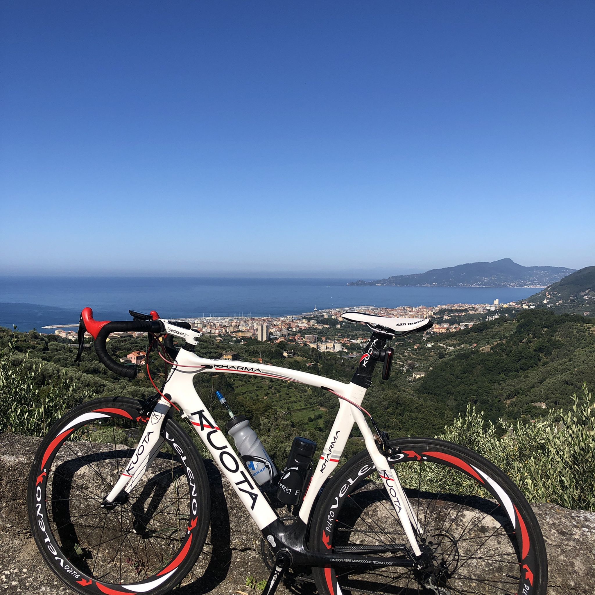
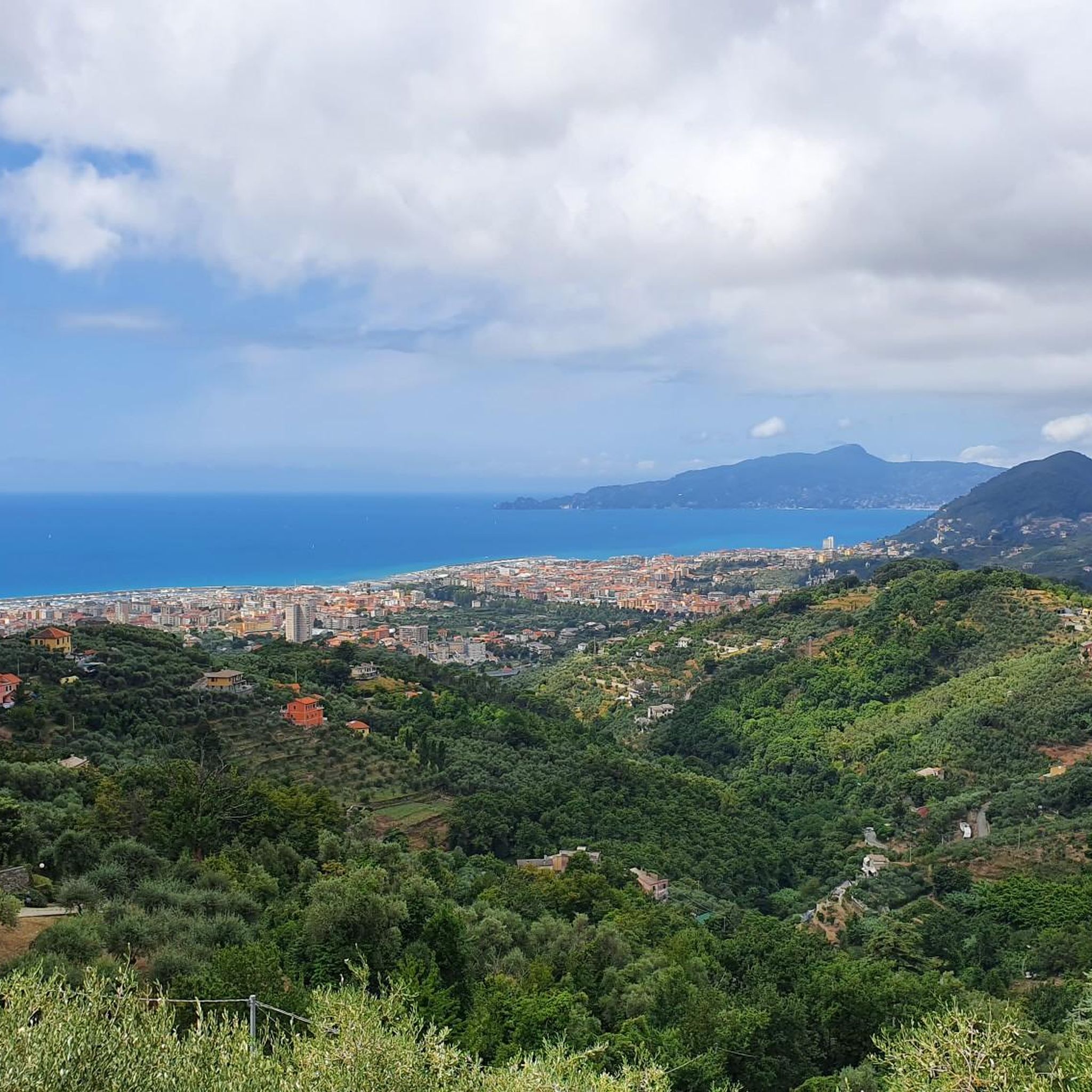
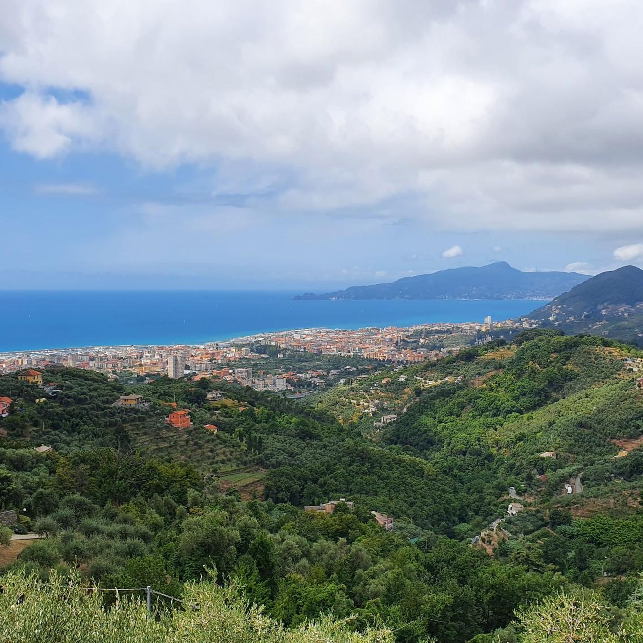
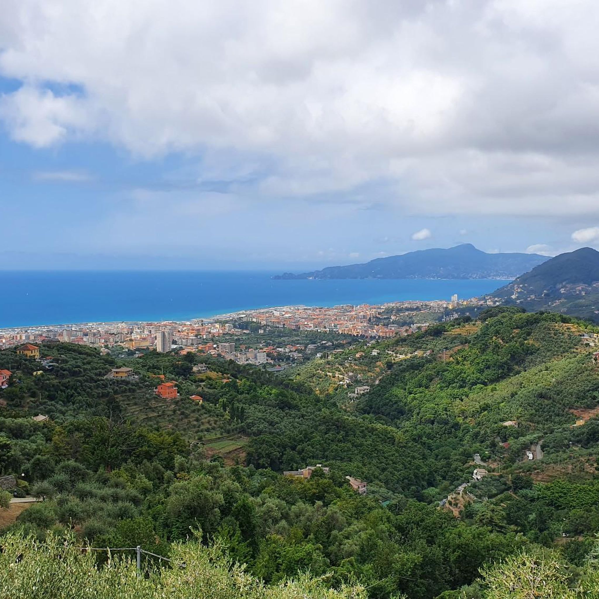

Tips from the Community

beautiful, quiet pass with picnic area
0
0

Situated at 956 meters between the Vara and Aveto Valleys, the Bocco Pass is one of the historic passes of the Ligurian Apennines, used since ancient times as a connection between the Tyrrhenian coast and the Po Valley hinterland. Already in Roman times, it was part of a secondary transit network, but it was especially in the Middle Ages and modern times that the pass assumed a central role in local traffic: a route for merchants, shepherds, and pilgrims, it connected Chiavari and the Riviera with Varese Ligure and the Emilian plains. Traces of the ancient paving are still visible today in the surrounding woods. During the Second World War, the area served as a refuge for partisan groups, thanks to its secluded location and dense forest cover. Today, the pass is a destination for cyclists and hikers, immersed in an unspoiled mountain landscape of beech and fir forests and highland meadows, at the gateway to the Aveto Regional Natural Park.
0
0


The climb is not very difficult but the asphalt is gravelly and slippery at times. As for the views I must say that they are enchanting.
17
0

Colla Isciolli is a Ligurian pass located at an altitude of 410 meters on the slopes of Monte Domenico (529 m). The asphalt in some stretches is uneven or covered with gravel and care must be taken. The landscape is breathtaking.
2
1

For the "downhill" enthusiasts, descending from the Bocco is pure pleasure .... but always with the necessary prudence and concentration!
1
0

The pass that separates the villages of Loto and San Bernardo offers a suggestive view of the hills in front and the valley of the Gromolo river. At the pass begins the dirt road that leads to Monte Costello and Monte Capenardo, indicated by a sign from the Ligurian Hiking Network.
1
0
The road surface from Borgonovo has been almost completely redone and runs very well, but from the pass towards Varese Ligure, especially in the first section, the road is very bad and, downhill, it is a real torment ... Update: between the Pass and the border with the Province of La Spezia the asphalt has been redone!
0
1
Frequently Asked Questions
What are some notable mountain passes to explore near Cogorno?
Near Cogorno, you can explore several interesting mountain passes. Among them are Bocco Pass, which offers a stop at the Devoto refuge, and Passo del Biscia, known for connecting the Vara valley with the Ligurian coast and offering splendid views of the Tigullian Gulf. Another option is Passo Pozzi del Lupo (722 m), which connects Valle Sturla with Valle Fontanabuona and is suitable for cycling.
What makes the mountain passes around Cogorno unique?
The passes around Cogorno, particularly those centered on Mount San Giacomo, are unique for their historical significance and geological features. They offer an immersive hiking experience through ancient paths, many paved with slate, providing a glimpse into the region's traditional livelihoods and cultural heritage, especially related to slate mining.
Are there any historical or culturally significant mountain passes or trails in the Cogorno area?
Yes, the area is rich in history. Mount San Giacomo is a hub for evocative hiking trails, including sections of the Cammino dell'Ardesia (Slate Path). This circular route, historically used by slate quarrymen and transporters, allows you to walk through a landscape deeply shaped by centuries of slate mining. Additionally, Passo del Biscia is also recognized as a historical site.
What kind of views can I expect from the mountain passes near Cogorno?
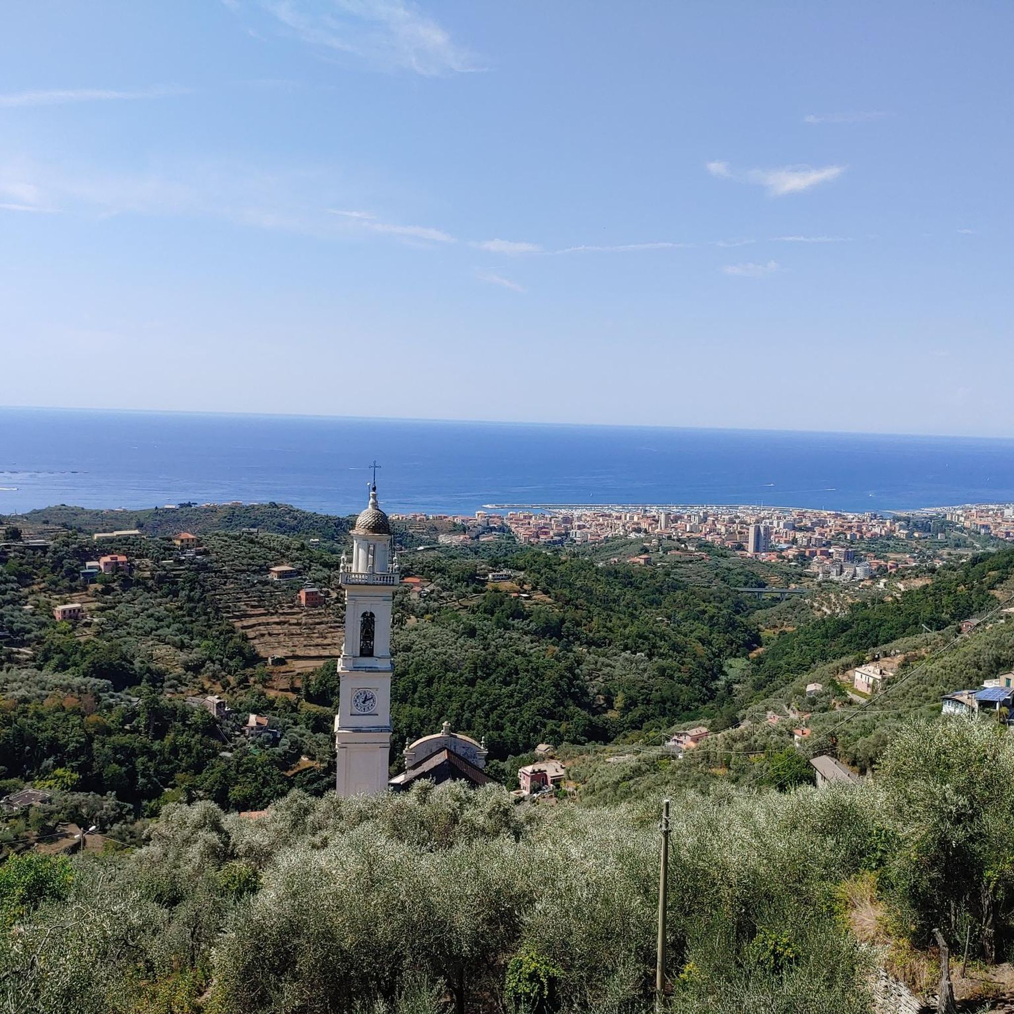
From passes like Passo del Biscia, you can enjoy wonderful views of the Tigullian Gulf. The general area of Cogorno, including points like Loto–San Bernardo Pass and Isciolli Pass, offers splendid vistas of terraced hills descending to the sea on one side, and the Apennine valleys on the other. Many routes feature varied and enchanting landscapes.
What outdoor activities can I do near the mountain passes around Cogorno?
The area around Cogorno's mountain passes is excellent for various outdoor activities. You can find numerous opportunities for hiking, gravel biking, and mountain biking. For detailed routes and guides, you can explore options like Hiking around Cogorno, Gravel biking around Cogorno, and MTB Trails around Cogorno.
Are there specific hiking trails associated with the mountain passes in Cogorno?
Yes, Mount San Giacomo, a key area for pass-like experiences, is home to various hiking itineraries. The Cammino dell'Ardesia is a prime example, offering a unique walk through historical slate mining landscapes. Other notable routes include the San Giacomo Massif Loop and the ascent to Monte San Giacomo from San Salvatore, often via paved slate paths.
Are there options for gravel biking or mountain biking near Cogorno's mountain passes?
Absolutely. The region offers challenging and scenic routes for both gravel biking and mountain biking. You can find routes like the 'Passo del Biscia – Monte Porcile Mule Track loop' for gravel biking or the 'Monte Capenardo Loop from Cogorno' for mountain biking. More information can be found in the Gravel biking around Cogorno and MTB Trails around Cogorno guides.
What is the best time of year to visit the mountain passes around Cogorno?
While specific seasonal recommendations for Cogorno's passes are not detailed, generally, spring and autumn offer pleasant temperatures for hiking and cycling. These seasons avoid the intense heat of summer and potential snow or ice in winter, making for more comfortable exploration of the trails and passes.
Are there family-friendly mountain passes or trails near Cogorno?
Some passes, like Bocco Pass, are categorized as family-friendly, suggesting they offer amenities or easier sections suitable for families. When planning, look for trails described as moderate or with facilities like picnic areas, such as those found near Passo del Biscia.
Where can I find parking or public transport options for accessing trails near Cogorno's mountain passes?
For specific trails, parking is often available at starting points in nearby towns or villages. For example, routes around Mount San Giacomo can be accessed from San Salvatore, near the Basilica dei Fieschi. Public transport options may connect to larger towns like Lavagna or Chiavari, from which local buses or short drives can lead to trailheads. It's advisable to check local transport schedules for the most up-to-date information.
Are there places to eat or stay near the mountain passes in Cogorno?
Yes, some passes offer facilities. For instance, at Bocco Pass, you can stop for coffee or a meal at the Devoto refuge. Nearby towns like San Salvatore dei Fieschi, Lavagna, and Chiavari, which serve as access points to many trails, provide various cafes, restaurants, and accommodation options for visitors.
What are the difficulty levels of the mountain passes and associated trails around Cogorno?
The difficulty levels vary. Some passes, like Bocco Pass, involve significant altitude gain over distances, making them intermediate. Passo Pozzi del Lupo (722 m) offers varied landscapes suitable for cycling, with some sections being quite demanding. Hiking routes around Mount San Giacomo are generally considered moderate. Always check specific route details for elevation, distance, and terrain to match your fitness level.
Most popular routes around Cogorno
Most popular attractions around Cogorno

Get inspired with the komoot mobile app


Explore more
See even more epic mountain passes by checking out these guides around Cogorno:
