The best road cycling routes around Unteriberg
4.5
(35)
1,058
riders
19
rides
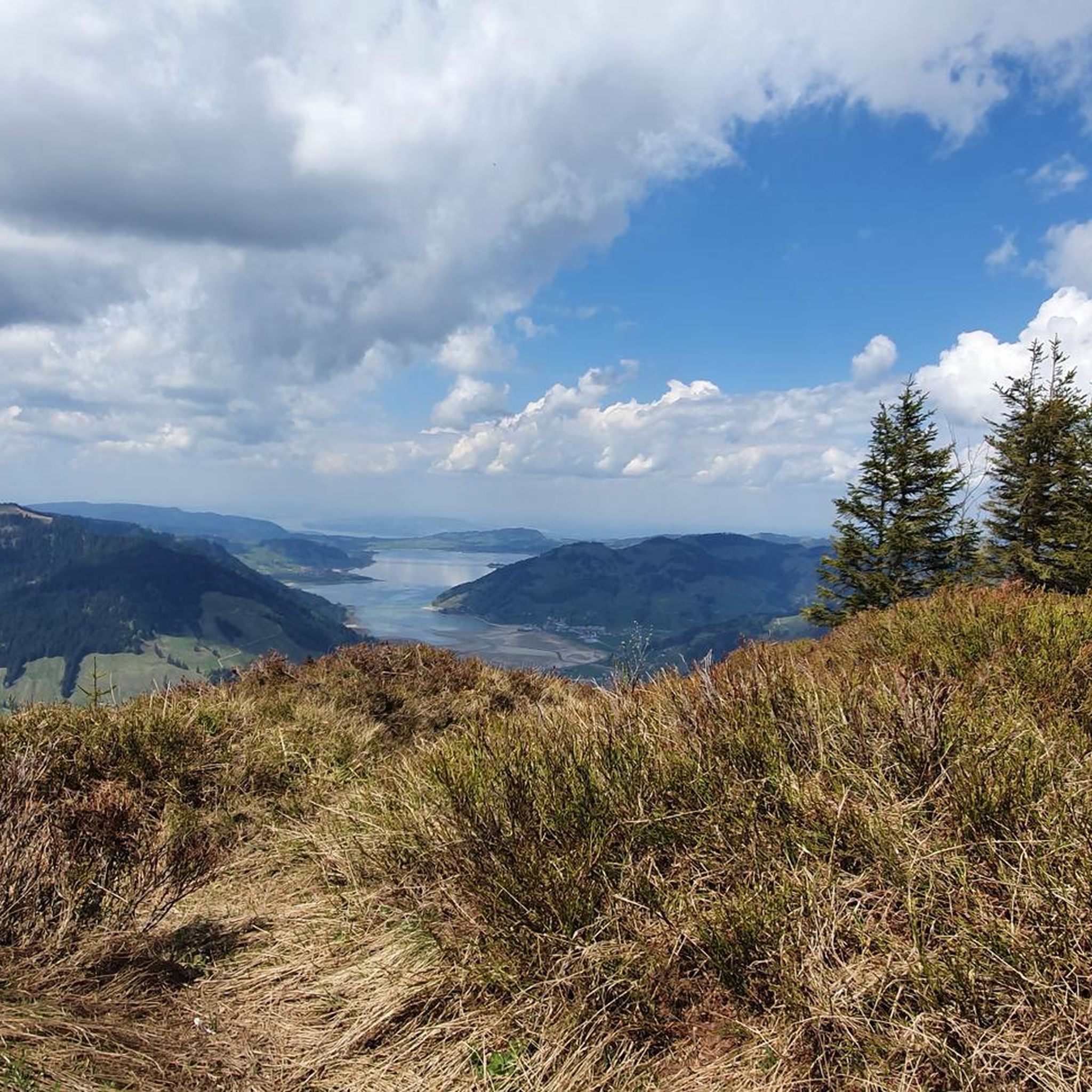
Road cycling routes around Unteriberg are set within the picturesque valleys of the Sihl, Waag, and Minster rivers, at the southern end of the artificial Sihlsee. The landscape features pre-Alpine terrain with lush fields, dark fir forests, and flower-filled moorland, transitioning into more rugged mountainous areas. Notable climbs include Ibergeregg and Sattelegg, offering significant elevation gains. The region provides diverse road cycling opportunities through varied natural features.
Best road cycling routes around Unteriberg
- The most popular road cycling route is…
Last updated: October 11, 2026
4.7
(16)
272
riders
46.0km
02:22
700m
700m
Moderate road ride. Good fitness required. Mostly well-paved surfaces and easy to ride.
5.0
(7)
122
riders
23.1km
00:56
100m
100m
Easy road ride. Great for any fitness level. Mostly well-paved surfaces and easy to ride.

4.3
(3)
113
riders
70.7km
03:38
1,010m
1,010m
Hard road ride. Very good fitness required. Some segments of this route may be unpaved and difficult to ride.
4.0
(2)
101
riders
43.1km
02:38
1,060m
1,060m
Hard road ride. Very good fitness required. Mostly well-paved surfaces and easy to ride.
5.0
(1)
74
riders
38.1km
02:01
670m
670m
Moderate road ride. Good fitness required. Some segments of this route may be unpaved and difficult to ride.
Get access to more routes and recommendations from other explorers.
Already have an account?
Our route recommendations are based on thousands of hikes, rides, and runs completed by other people on komoot.
Start today with a free account
Your next adventure awaits.

Tips from the Community

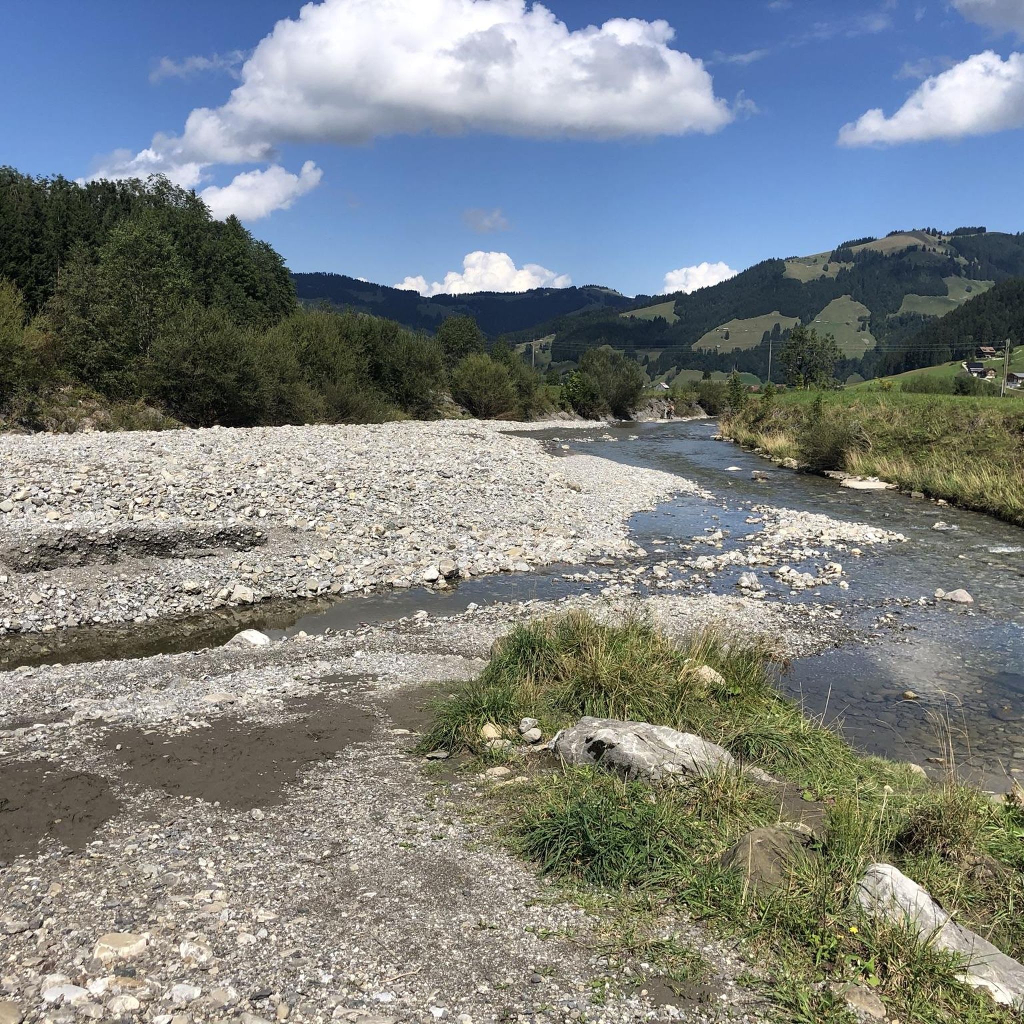
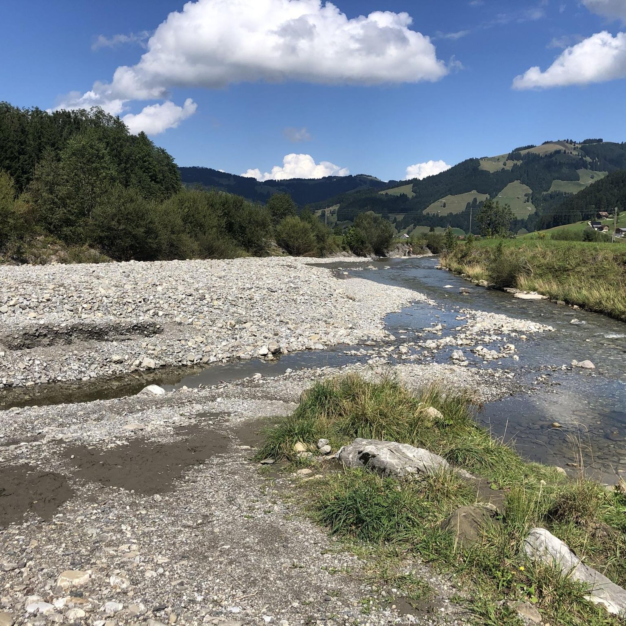
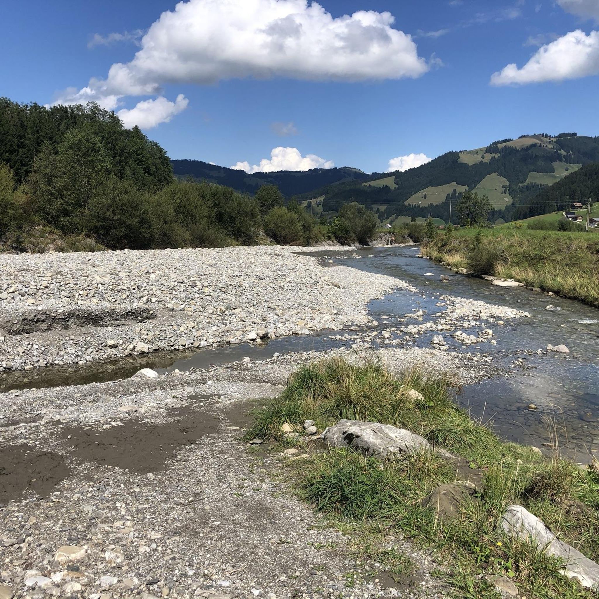
Beautiful, easy path along the southern shore of Sihlsee
0
0

Good thing there's this bubbling spring with cool water at this steep pass 💦
0
0

Very nice corner for biking
0
0

This is the Rotenthurm high moor
0
0
Beautiful, but also very busy and well-trodden path along the northern shore of the Obersee.
0
0

The lake on both sides, the city and the castle make for a wonderful panorama. You also forget the very busy Seedammstrasse behind you.
0
0
A busy but beautiful route across the dam, partly with a wide cycle path. Unfortunately, the section from Hurden to Pfäffikon on the gravel path is now closed to cyclists (until the first accident happens on the main road).
0
0

The Raten mountain – at 1077m – high above Lake Ägeri offers a fantastic view of our mountains. The Restaurant Raten is highly recommended: The atmosphere is lovely and cozy, the service is friendly, and the food is delicious. It has a large parking lot, which is also a good starting point for hikes. Parking is subject to a fee daily from 8:00 am to 6:00 pm.
0
0
Frequently Asked Questions
What kind of terrain can I expect on road cycling routes around Unteriberg?
Road cycling routes in Unteriberg feature diverse pre-Alpine terrain, including lush fields, dark fir forests, and flower-filled moorland. You'll encounter picturesque valleys of the Sihl, Waag, and Minster rivers, often with scenic views of the artificial Sihlsee. The region is known for its challenging climbs, such as those to Ibergeregg and Sattelegg, which offer significant elevation gains and stunning panoramic views.
Are there challenging climbs for experienced road cyclists in Unteriberg?
Yes, Unteriberg is well-known for its challenging climbs. The ascents to Ibergeregg and Sattelegg are particularly notable, featuring gradients of up to 14% and almost 900 meters of elevation gain. These routes are a treat for amateur bike racing enthusiasts, providing breathtaking panoramic views of the surrounding mountains and valleys.
How many road cycling routes are available in the Unteriberg area?
There are over 20 road cycling routes around Unteriberg, catering to various skill levels. This includes 5 easy routes, 9 moderate routes, and 7 difficult routes, ensuring options for everyone from beginners to experienced cyclists.
What are some scenic viewpoints or natural features I can see while road cycling?
While cycling, you'll enjoy views of the artificial Sihlsee, and the dramatic peaks of Druesberg, Fluebrig, and the defiant Mythen mountains. From higher points like Ibergeregg, you can often see Lake Lucerne. Routes like the Lake Ägeri – Raten Pass loop from Einsiedeln offer scenic lake views, while the View of Lake Lauerz – Lauerzersee loop from Muotathal provides beautiful vistas of Lake Lauerz.
Are there any circular road cycling routes in Unteriberg?
Yes, many routes in Unteriberg are designed as loops. For example, the Lake Ägeri – Raten Pass loop from Einsiedeln is a popular moderate circular route. Another option is the Raten Pass Summit – View of the Hochmoor in Zug loop from Einsiedeln, which offers diverse scenery.
What is the best time of year for road cycling in Unteriberg?
The pre-Alpine region of Unteriberg is a popular year-round destination, but for road cycling, the warmer months are generally best. Spring, summer, and early autumn offer the most favorable weather conditions for tackling the climbs and enjoying the scenic routes. During winter, the area transforms into a winter sports paradise, making road cycling less feasible due to snow and ice.
What do other road cyclists say about their experience in Unteriberg?
The road cycling routes around Unteriberg are highly rated by the komoot community, with an average score of 4.5 stars from over 40 reviews. Cyclists often praise the stunning panoramic views from climbs like Ibergeregg and Sattelegg, the diverse pre-Alpine landscapes, and the rewarding challenge of the routes.
Are there any interesting landmarks or attractions near the road cycling routes?
Yes, the region offers several notable attractions. Not far from Unteriberg is the historic Kloster Einsiedeln. For those interested in natural beauty, you can find several waterfalls nearby, including the Waterfall at Lake Klöntal and the Schrähbach Waterfall. The Einsiedeln Monastery – Schmerikon Lakeside loop from Einsiedeln specifically combines cultural landmarks with extensive lakeside riding.
Can I access road cycling routes in Unteriberg using public transport?
The region is known for the convenient use of railways for bike transport, making it a versatile biking region. While specific public transport access points for each road cycling route would need to be checked individually, the general infrastructure supports combining cycling with public transport.
Are there any easy or beginner-friendly road cycling routes in Unteriberg?
Yes, among the over 20 routes, there are 5 classified as easy, providing options for beginners or those looking for a more relaxed ride. These routes typically feature less elevation gain and gentler terrain, allowing for an enjoyable introduction to road cycling in the region.
Are there any specific routes that combine cultural sights with cycling?
Absolutely. The Einsiedeln Monastery – Schmerikon Lakeside loop from Einsiedeln is a difficult 43.9-mile (70.6 km) path that specifically combines cultural landmarks, such as the famous Einsiedeln Monastery, with extensive lakeside riding, offering a rich experience beyond just the physical challenge.
What kind of views can I expect from the Ibergeregg Pass climb?
The climb to Ibergeregg Pass is renowned for its stunning panoramic views. From the summit, you can expect breathtaking vistas of the surrounding mountains and valleys, including views back towards Lake Lucerne on clear days. It's a highly rewarding experience for the effort.
Most popular routes around Unteriberg
Most popular attractions around Unteriberg

Get inspired with the komoot mobile app


Explore more
Browse the best Road cycling routes in other regions.
