The best walks and hikes around Unteregg
4.4
(692)
3,751
hikers
16
hikes
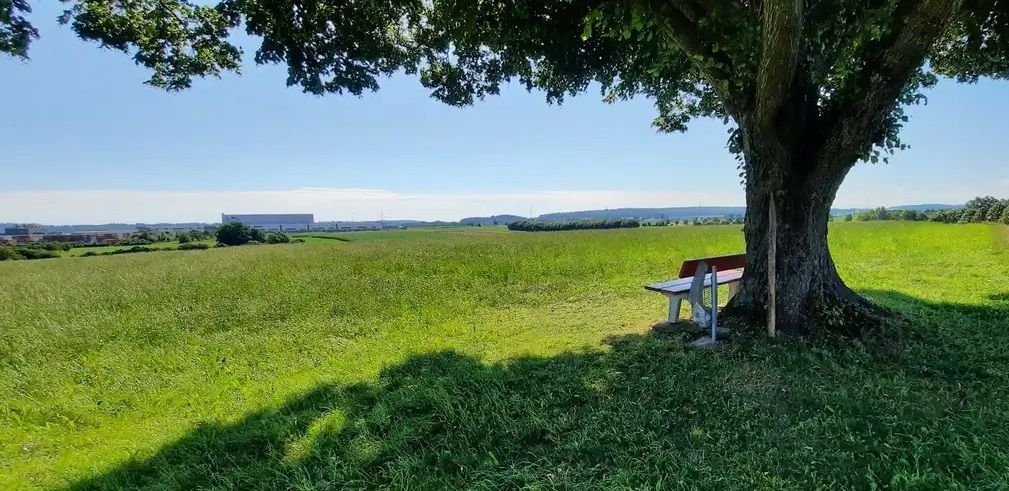
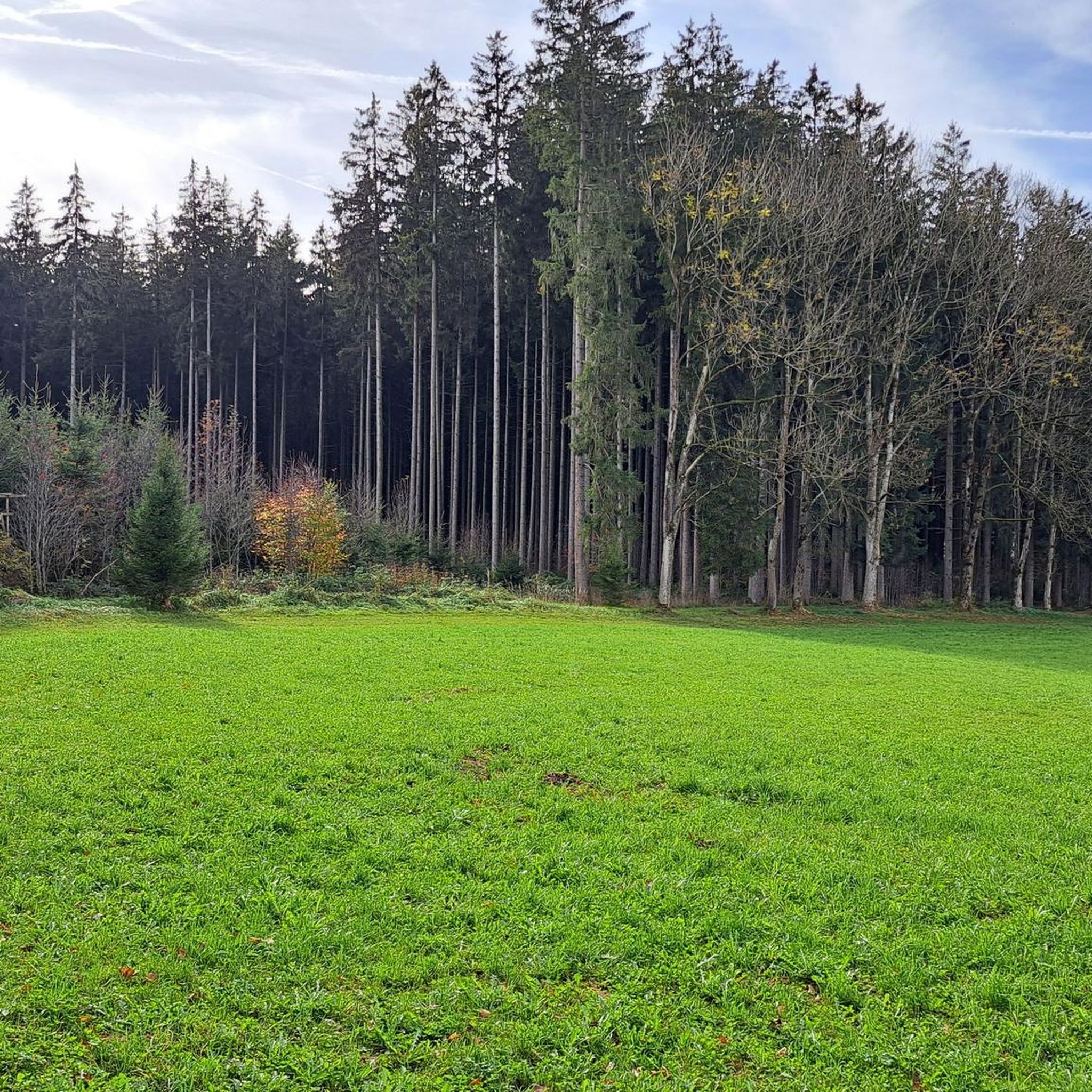
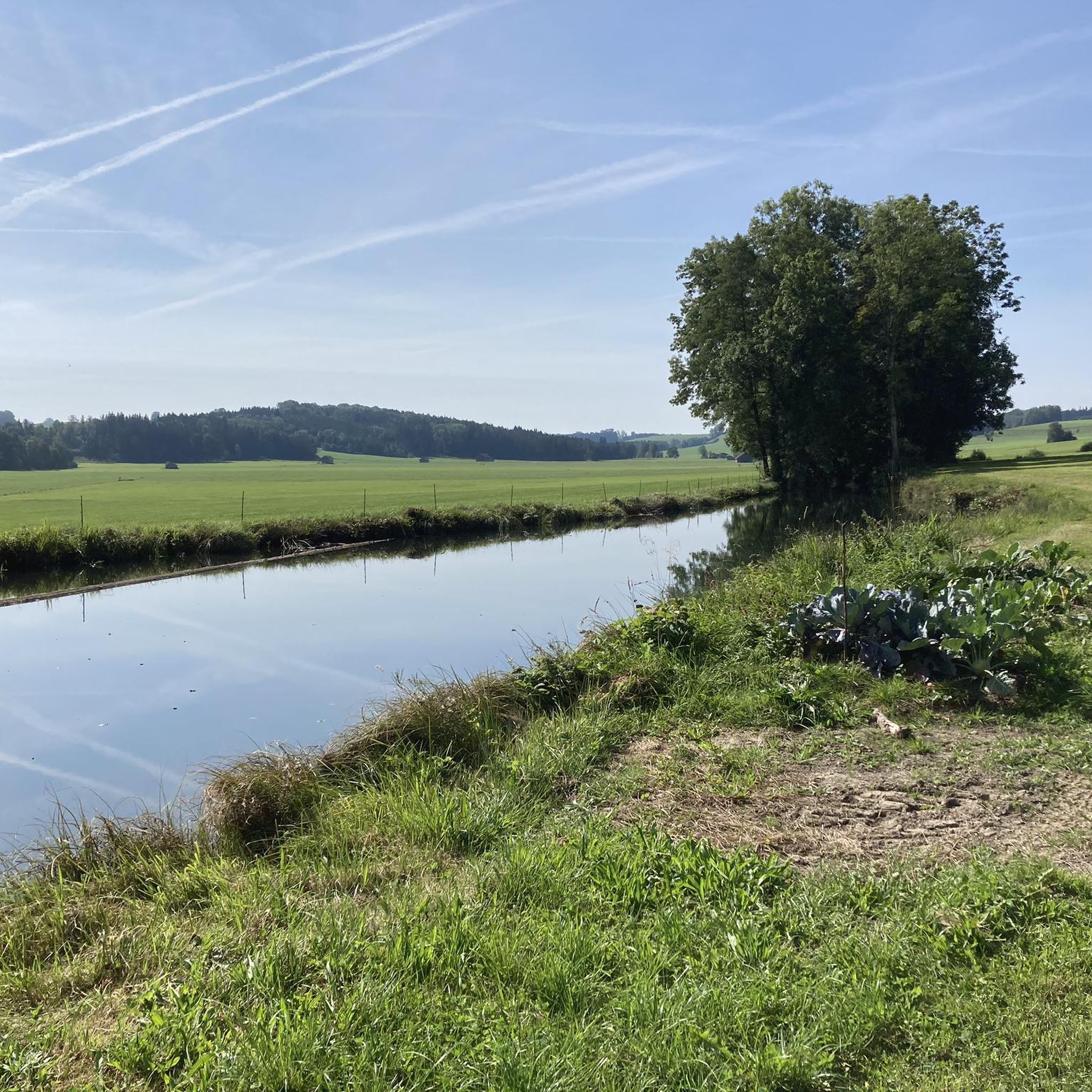
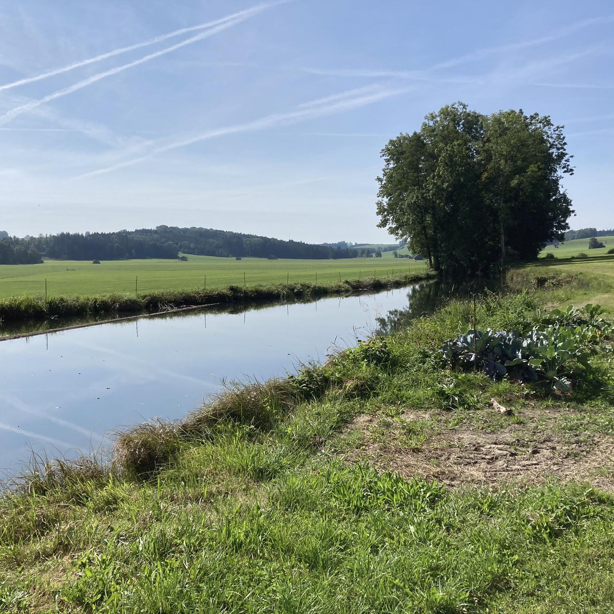
Hiking around Unteregg offers diverse natural features within the Unterallgäu region of Germany. The landscape is characterized by rolling hills, expansive green meadows, and lush forests. The Mindel Valley provides pristine environments, and the area lies on the edge of the Allgäu, offering views across the Lower Allgäu.
Best hiking trails around Unteregg
- The most popular hiking route is Katzbrui Spring – Katzbrui Mill loop from Unteregg, a 5.8 miles (9.3 km) trail that takes 2 hours 34 minutes…
Last updated: June 25, 2026
4.9
(17)
58
hikers
9.30km
02:34
170m
160m
Moderate hike. Good fitness required. Easily-accessible paths. Suitable for all skill levels.
4.8
(10)
40
hikers
15.3km
04:06
180m
180m
Moderate hike. Good fitness required. Easily-accessible paths. Suitable for all skill levels.

Sign up for free
5.0
(9)
39
hikers
Moderate hike. Good fitness required. Easily-accessible paths. Suitable for all skill levels.
4.3
(3)
8
hikers
5.36km
01:24
40m
40m
Easy hike. Great for any fitness level. Easily-accessible paths. Suitable for all skill levels.
7
hikers
3.06km
00:48
20m
20m
Easy hike. Great for any fitness level. Easily-accessible paths. Suitable for all skill levels.
Get access to more routes and recommendations from other explorers.
Sign up for free
Already have an account?
Our route recommendations are based on thousands of hikes, rides, and runs completed by other people on komoot.
Start today with a free account
Your next adventure awaits.
Login or Signup
Other adventures around Unteregg

Tips from the Community


Quiet to really take a break.
0
0

Very nice wildlife enclosure. Especially the older animals are very trusting 😎
2
0
Nicely hidden rest area with the Dreiländerstein😎
1
0

Beautiful game reserve near Warmisried
3
0
The three country stone is the border of two Benedictine monastery states of Kempten and Irsee with the Electoral Bavarian dominion of Mindelheim
3
0

Huge game reserve with trusting animals that stand curiously at the fence. Totally nice for kids too.
3
0
Frequently Asked Questions
How many hiking trails are available around Unteregg?
Unteregg offers a diverse network of over 15 hiking trails, catering to various skill levels. You'll find a good mix of easy, moderate, and even some more challenging routes to explore the region's beautiful landscapes.
What kind of landscapes and natural features can I expect while hiking in Unteregg?
The Unteregg region is characterized by picturesque rolling hills, expansive green meadows, and lush forests. You'll encounter clear rivers, the largely intact flora and fauna of the Mindel Valley, and scenic views across the Lower Allgäu. A unique natural highlight is the Katzbruier Quelle (spring), home to special wildlife.
Are there any easy hiking trails suitable for beginners or families in Unteregg?
Yes, Unteregg has several easy trails perfect for beginners and families. One excellent option is the Small Waterfalls in Allgäu loop from Bayersried, which is an easy 3.3-mile (5.3 km) path. The Katzbrui Mill Circular Route, mentioned in the region research, is also an easy and popular choice, passing a water treading area that families might enjoy.
Can I bring my dog on the hiking trails in Unteregg?
While specific regulations can vary, generally, dogs are welcome on hiking trails in the Unteregg region. It's always recommended to keep your dog on a leash, especially in areas with wildlife or near livestock, and to carry waste bags to maintain the cleanliness of the trails.
Are there any circular walks available in Unteregg?
Yes, many of the trails in Unteregg are designed as circular routes, allowing you to start and end at the same point. A popular example is the Katzbrui Spring – Katzbrui Mill loop from Unteregg, a moderate 5.8-mile (9.3 km) trail that takes you past the Marien Grotto and along stream confluences.
What are some interesting landmarks or attractions to see near the hiking trails?
Beyond the trails, you can explore historic buildings like the 17th-century St. Martin's Church and the 19th-century Unteregg Castle. Nearby, you might visit the Bad Wörishofen Spa Park with its extensive gardens and barefoot path, or discover historical sites like the Mindelburg or the Keep of Kemnat Castle Ruins.
What do other hikers enjoy most about hiking in Unteregg?
The hiking trails around Unteregg are highly rated by the komoot community, with an average score of 4.5 stars from over 600 reviews. Hikers often praise the region's diverse natural features, from rolling hills and lush forests to the serene Mindel Valley, and the well-maintained paths that cater to various abilities.
Are there any trails that feature waterfalls in the Unteregg area?
Yes, you can find trails that lead to small waterfalls in the region. The Small Waterfalls in Allgäu – Dreiländerstein (Allgäu) loop from Oberegg is a moderate 9.5-mile (15.3 km) path that specifically highlights these natural features and leads to the Dreiländerstein area.
What is the best time of year to go hiking in Unteregg?
Unteregg's mild to moderate climate makes it suitable for hiking for much of the year. Spring and autumn offer pleasant temperatures and beautiful scenery, while summer is ideal for longer days on the trails. Even in winter, there are opportunities for outdoor activities, such as a short winter hike along the Planet Trail to Untereggerhof.
Are there options for longer, more challenging hikes in Unteregg?
While many trails are easy to moderate, the region is part of larger networks like the Wandertrilogie Allgäu, which includes the moderate Wiesengänger Route. For a longer moderate option, consider the Dreiländerstein Picnic Area – Small Waterfalls in Allgäu loop from Warmisried, a 7.8-mile (12.5 km) trail that offers varied terrain.
Are there any opportunities for wildlife spotting during hikes?
The Mindel Valley, with its largely intact flora and fauna, provides a pristine environment for nature observation. The Katzbruier Quelle (spring) is particularly noted for special wildlife such as the Alpine flatworm and spring marsh snail. Keep an eye out for local birds and other small animals in the forests and meadows.
Is there public transport available to reach hiking trailheads in Unteregg?
While the region is generally accessible by car, public transport options to specific trailheads might be limited. It's advisable to check local bus schedules or regional transport services for connections to villages near your chosen starting points. Many hikers prefer to drive and utilize available parking.
Where can I find parking for hiking trails in Unteregg?
Parking is generally available in the villages and at popular starting points for trails. For instance, if you plan to hike the Katzbrui Mill area, there are usually designated parking spots near the mill or in the nearby hamlets. Always look for official parking areas to avoid obstructing local traffic or private property.
Most popular attractions around Unteregg

Get inspired with the komoot mobile app


Explore more
Browse the best Hikes in other regions.
