The best road cycling routes around Varese Ligure
4.4
(80)
2,524
riders
74
rides
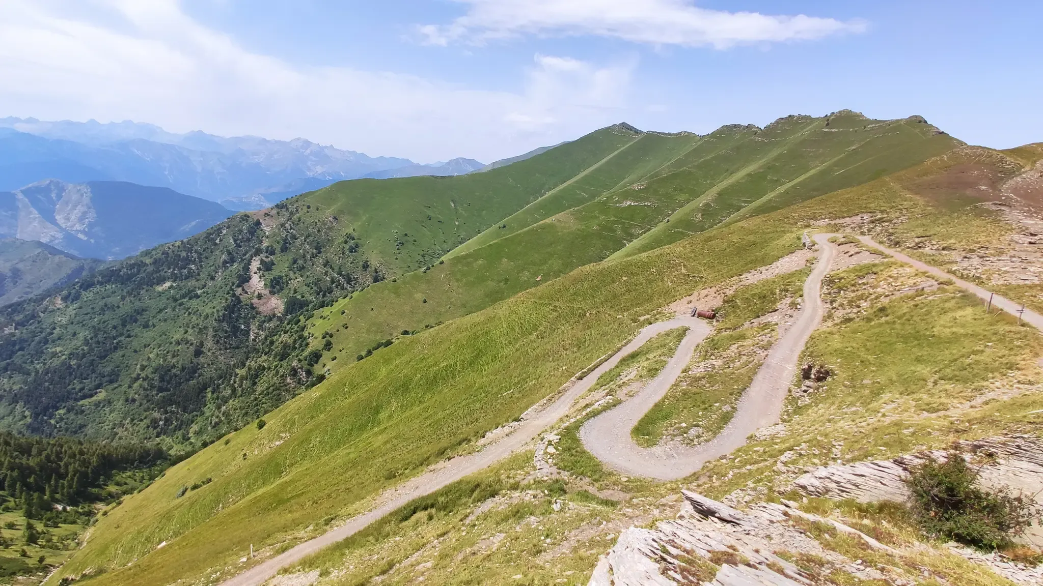
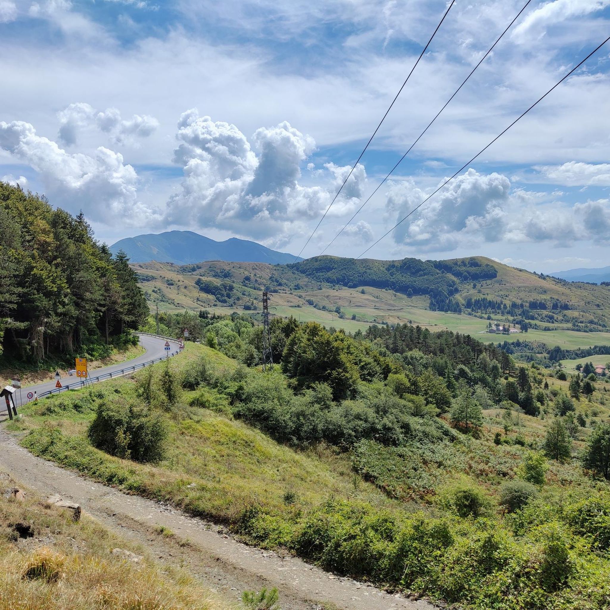
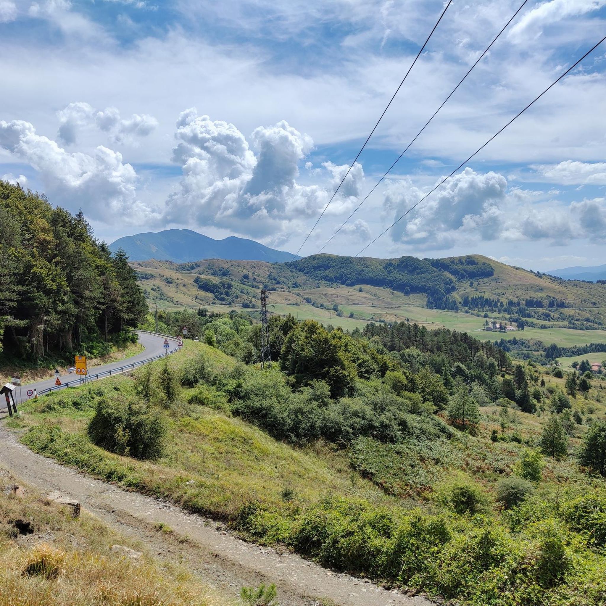
Road cycling routes around Varese Ligure traverse the Vara Valley, characterized by its green hills, dense woodlands, and winding roads. The region features numerous mountain passes, offering varied elevation profiles suitable for road cycling. Routes often connect inland villages with panoramic viewpoints over the Ligurian Apennines. The terrain is predominantly hilly to mountainous, providing sustained climbs and descents.
Best road cycling routes around Varese Ligure
- The most popular road cycling route is From Varese Ligure to Passo Cento Croci –…
Last updated: July 15, 2026
5.0
(2)
22
riders
59.8km
03:36
1,550m
1,550m
Hard road ride. Very good fitness required. Mostly well-paved surfaces and easy to ride.
4.3
(13)
242
riders
81.6km
04:28
1,620m
1,620m
Hard road ride. Very good fitness required. Mostly well-paved surfaces and easy to ride.

Sign up for free
5.0
(3)
100
riders
53.8km
02:41
700m
700m
Moderate road ride. Good fitness required. Mostly well-paved surfaces and easy to ride.
4.7
(3)
83
riders
63.5km
03:39
1,470m
1,470m
Hard road ride. Very good fitness required. Mostly well-paved surfaces and easy to ride.
5.0
(2)
46
riders
95.9km
05:01
1,710m
1,710m
Hard road ride. Very good fitness required. Some segments of this route may be unpaved and difficult to ride.
Get access to more routes and recommendations from other explorers.
Sign up for free
Already have an account?
Our route recommendations are based on thousands of hikes, rides, and runs completed by other people on komoot.
Start today with a free account
Your next adventure awaits.
Login or Signup
Other adventures around Varese Ligure

Tips from the Community

Fresh and comfortable, on the road...
0
0
Pass of the Ligurian Apennines located at an altitude of 1,452 m, it is reachable by car and is a crossroads where various hiking trails branch off.
0
0

The Passo della Cappelletta (1,085 m a.s.l.) is a charming Apennine pass located on the border between Emilia-Romagna (province of Parma/Piacenza) and Liguria. It is famous for its imposing wind turbines and its proximity to Monte Gottero.
0
0


Update September 2025: Fieschi Castle is temporarily closed for renovations
0
0

Situated at 717 meters above sea level, Santa Maria del Taro is a hamlet in the municipality of Tornolo (province of Parma), nestled in the heart of the Northern Apennines, near the border between Emilia and Liguria. Since the early Middle Ages, its strategic position along the ancient ridge road connecting the sea to the Po Valley has made it a transit and trade center, as well as a military and commercial control point. The name itself recalls the religious devotion that has permeated the town for centuries: the church-sanctuary dedicated to the Nativity of Mary, rebuilt in neoclassical style between 1807 and 1834, stands on an older structure and has been the spiritual center of the upper Taro Valley for centuries. The building, with its broad façade and stone bell tower, preserves a deep devotional tradition that is still alive. A short walk from the center is the Ponte dei Priori, a medieval humpbacked stone structure that once served as the only permanent access to the valley and symbolically marked the passage between the lands of the Malaspina and Fieschi families, two powerful feudal families of the Apennines. Over the centuries, Santa Maria del Taro has maintained an identity suspended between Emilian and Ligurian culture, evident in the features of its rural architecture, local dialects, and popular customs.
0
0
Situated at 956 meters between the Vara and Aveto Valleys, the Bocco Pass is one of the historic passes of the Ligurian Apennines, used since ancient times as a connection between the Tyrrhenian coast and the Po Valley hinterland. Already in Roman times, it was part of a secondary transit network, but it was especially in the Middle Ages and modern times that the pass assumed a central role in local traffic: a route for merchants, shepherds, and pilgrims, it connected Chiavari and the Riviera with Varese Ligure and the Emilian plains. Traces of the ancient paving are still visible today in the surrounding woods. During the Second World War, the area served as a refuge for partisan groups, thanks to its secluded location and dense forest cover. Today, the pass is a destination for cyclists and hikers, immersed in an unspoiled mountain landscape of beech and fir forests and highland meadows, at the gateway to the Aveto Regional Natural Park.
0
0

Beautiful view upon returning from the ring of the slate path.
0
0
Frequently Asked Questions
How many road cycling routes are available around Varese Ligure?
There are over 70 road cycling routes around Varese Ligure, offering a wide range of options for different skill levels. The region is known for its hilly to mountainous terrain, providing varied elevation profiles.
What is the best time of year for road cycling in Varese Ligure?
The best seasons for road cycling in Varese Ligure are typically spring (April to June) and autumn (September to October). During these months, the weather is generally milder and more stable, making for more comfortable rides through the Vara Valley and its mountain passes. Summer can be quite warm, especially in July and August.
Are there any easy road cycling routes for beginners in Varese Ligure?
While Varese Ligure is predominantly known for its challenging terrain, there are a few easier options. You can find 4 routes classified as easy, which are suitable for beginners or those looking for a more relaxed ride. These routes often feature less elevation gain compared to the more difficult mountain pass tours.
What kind of challenging routes can I expect for advanced road cyclists?
Advanced road cyclists will find plenty of challenges, with 43 routes classified as difficult. These routes often include significant climbs and descents through mountain passes like Passo Cento Croci and Bocco Pass. For example, the From Varese Ligure to Passo Cento Croci – ring tour is a demanding 37.2-mile (59.8 km) ride with substantial elevation gain.
Are there any loop trails for road cycling in the Varese Ligure area?
Yes, many of the road cycling routes around Varese Ligure are designed as loop trails, allowing you to start and finish in the same location. A popular example is the Bocco Pass – Wouter Weylandt Memorial loop from Monte Zatta di Levante, which offers challenging climbs and descents in a circular format.
What are some notable landmarks or scenic viewpoints along the road cycling routes?
The routes often pass through picturesque villages and offer panoramic views of the Ligurian Apennines. You can encounter several mountain passes, such as Passo di Cento Croci (1,055 m) and Bocco Pass. Some routes also lead near natural monuments like Monte Gottero Summit or Bargone Lake.
What do other road cyclists say about the routes in Varese Ligure?
The road cycling routes in Varese Ligure are highly rated by the komoot community, with an average score of 4.4 stars from over 90 reviews. Cyclists often praise the challenging mountain passes, the beautiful green hills, and the rewarding descents through the Vara Valley.
Are there any particularly long or endurance-focused road cycling routes?
For endurance cyclists, Varese Ligure offers several long routes. The Tomarlo Pass – Passo del Chiodo loop from Case Fazzi is a significant challenge, covering over 70 miles (113 km) with substantial elevation gain, making it ideal for long-distance training.
Where can I find parking for road cycling in Varese Ligure?
Varese Ligure, being a smaller town, typically offers various public parking areas, especially near the town center or at the start of popular routes. It's advisable to check local signage upon arrival for specific parking regulations and availability, particularly during peak seasons.
Can I access road cycling routes in Varese Ligure using public transport?
Accessing Varese Ligure by public transport is possible, though options might be limited compared to larger cities. Regional bus services connect Varese Ligure with nearby towns and train stations. Cyclists should verify if their bikes are permitted on buses and check schedules in advance, especially for routes starting further afield.
Are there any road cycling routes that feature multiple mountain passes?
Yes, many routes in the region are designed to tackle multiple mountain passes, providing a comprehensive climbing experience. The Bocco Pass – Passo di Cento Croci (1,055 m) loop from Monte Zatta di Levante is a prime example, leading through two significant mountain passes and offering a challenging ride of nearly 60 miles (96 km).
What are the typical weather conditions for road cycling in Varese Ligure?
Varese Ligure experiences a Mediterranean climate, with warm, dry summers and mild, wetter winters. During spring and autumn, temperatures are pleasant, ranging from 15-25°C (59-77°F). Summer temperatures can exceed 30°C (86°F), while winter sees averages around 5-10°C (41-50°F). Always check the forecast before heading out, especially for mountain passes where conditions can change rapidly.
Most popular routes around Varese Ligure
Most popular attractions around Varese Ligure

Get inspired with the komoot mobile app


Explore more
Browse the best Road cycling routes in other regions.
