The best running trails around Gaggio Montano
4.9
(15)
571
runners
93
runs
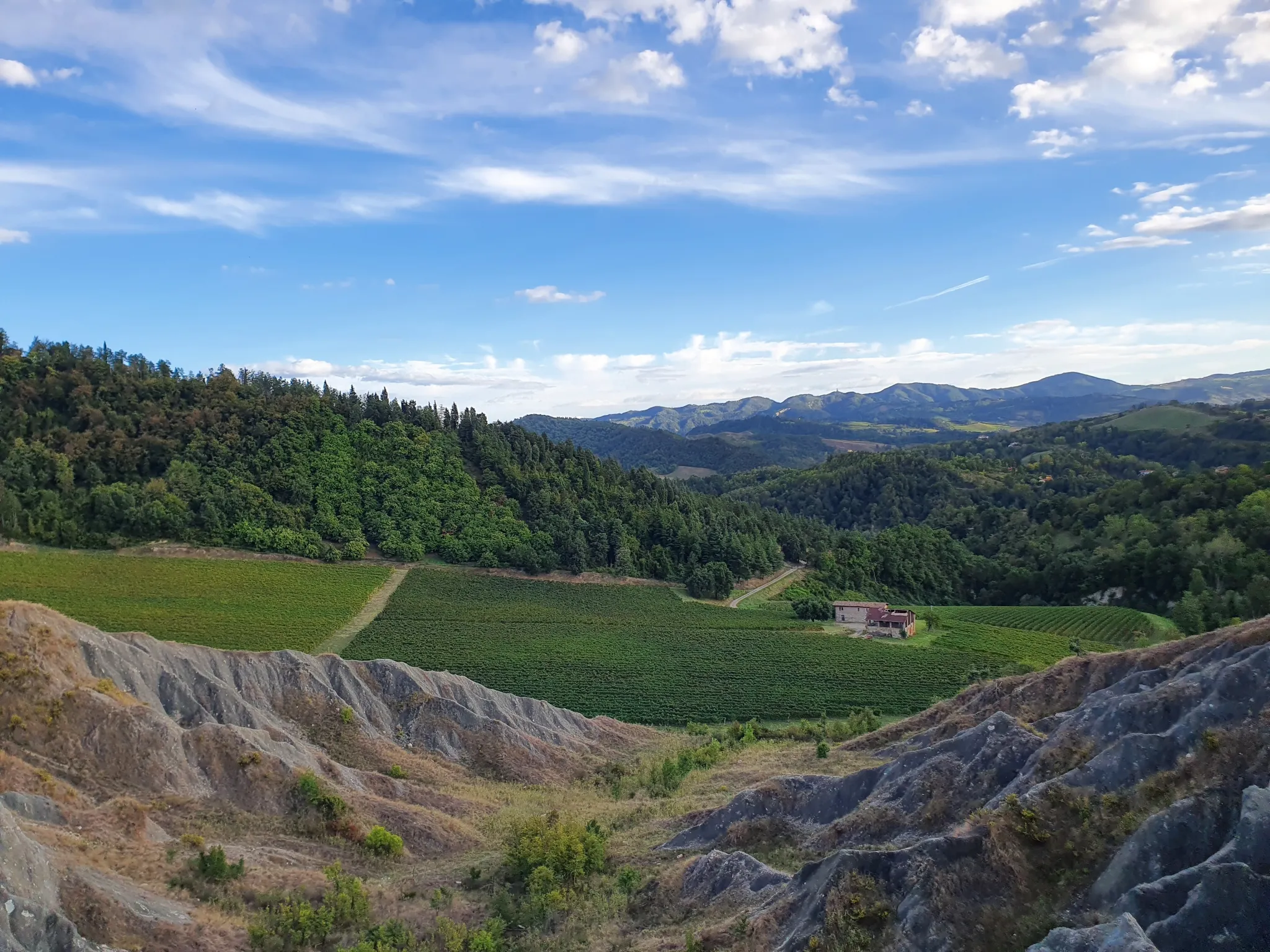
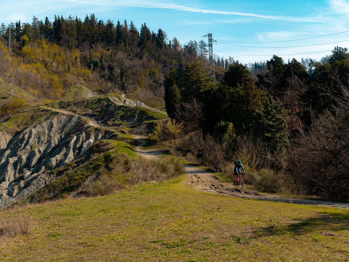
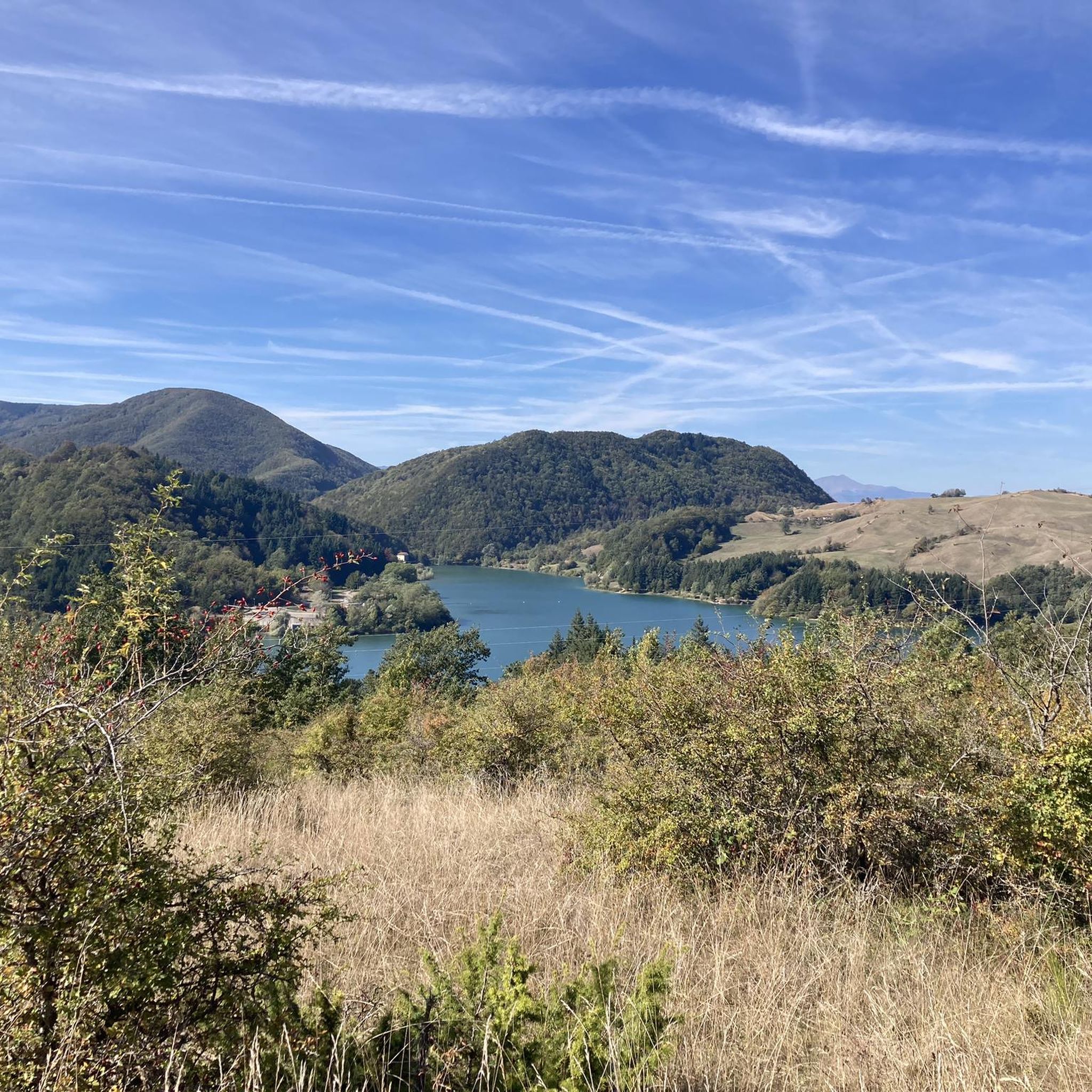
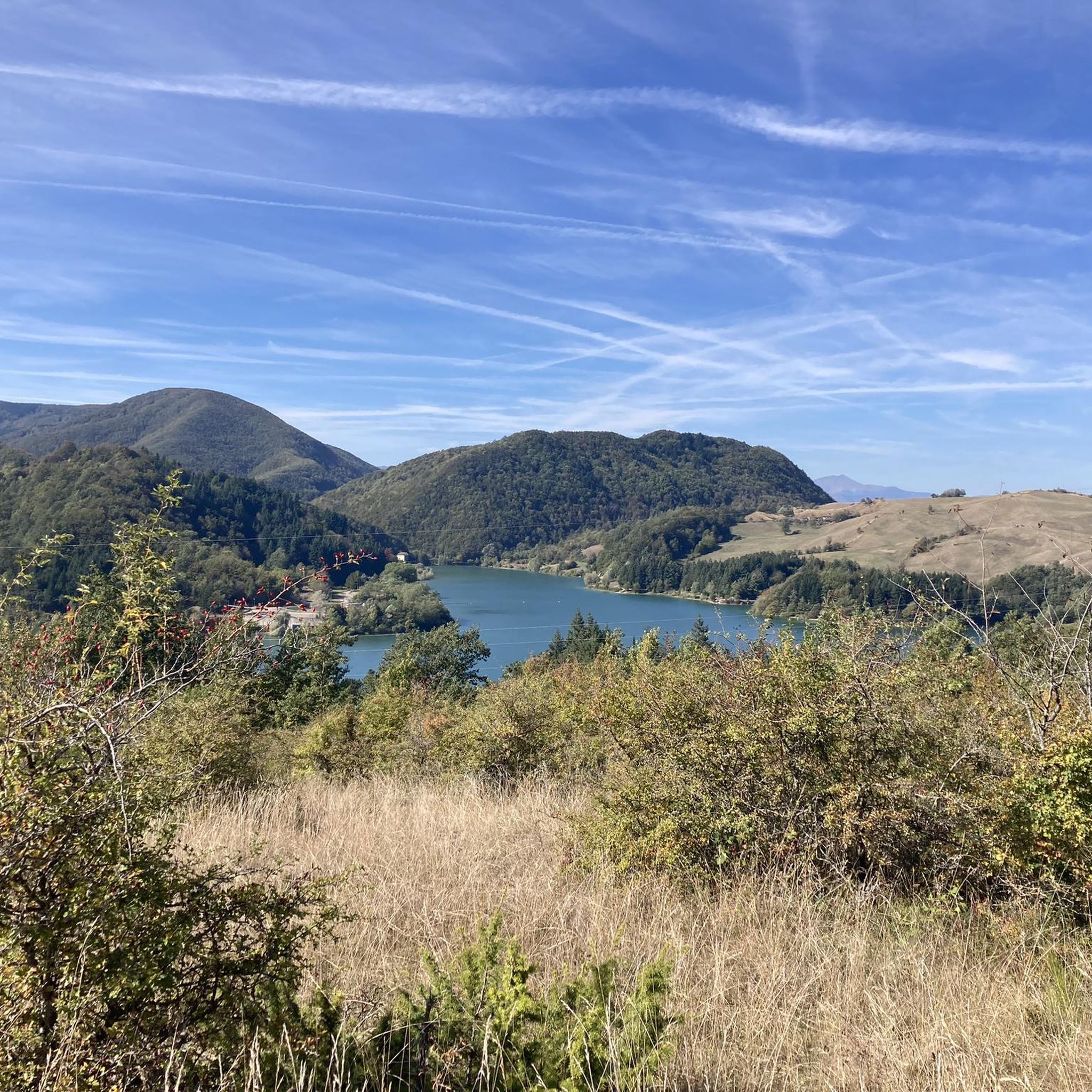
Jogging around Gaggio Montano offers diverse routes through the Bolognese Apennines. The region features a network of paths winding through deciduous forests, oak groves, and chestnut woods, providing varied terrain for runners. Many routes follow the Marano stream and cross the Reno river, while others ascend to panoramic viewpoints on hills like Sasso di Rocca, offering views of the Silla's valley and Alto Reno Valley. This area provides a mix of river-side runs and more challenging ascents into the foothills.
Best jogging routes around Gaggio Montano
- The most popular jogging route is Running loop from Porretta Terme, a 7.5 miles (12.1 km) trail that takes 1 hour 23 minutes to complete. This route offers a varied terrain through the local landscape.
- Another top favourite among local runners is Cycle Path Along the Reno loop from Silla, a moderate 5.2 miles (8.3 km) path. This route follows the Reno river, providing a relatively flat and scenic run.
- Local runners also love the Running loop from Silla, a 6.1 miles (9.8 km) trail leading through the Apennine foothills, often completed in about 1 hour 5 minutes.
- Jogging around Gaggio Montano is defined by deciduous forests, river valleys, and panoramic viewpoints, with routes available for easy, moderate, and difficult ability levels.
- The routes in Gaggio Montano are highly rated by the komoot community with an average score of 5.0 stars from more than 10 reviews. More than 350 runners have used komoot to explore Gaggio Montano's varied terrain.
Last updated: July 5, 2026
23
runners
12.0km
01:23
290m
290m
Moderate run. Good fitness required. Mostly paved surfaces. Suitable for all skill levels.
29
runners
10.4km
01:06
100m
100m
Moderate run. Good fitness required. Mostly paved surfaces. Suitable for all skill levels.

Sign up for free
5.0
(1)
11
runners
8.22km
00:55
180m
180m
Moderate run. Good fitness required. Mostly paved surfaces. Suitable for all skill levels.
10
runners
14.9km
01:35
170m
170m
Moderate run. Good fitness required. Mostly paved surfaces. Suitable for all skill levels.
5.0
(1)
10
runners
9.94km
01:06
190m
190m
Moderate run. Good fitness required. Mostly paved surfaces. Suitable for all skill levels.
Get access to more routes and recommendations from other explorers.
Sign up for free
Already have an account?
Our route recommendations are based on thousands of hikes, rides, and runs completed by other people on komoot.
Start today with a free account
Your next adventure awaits.
Login or Signup
Popular around Gaggio Montano



Tips from the Community

Nice park along the Silla stream with a bike path and a spectacular F104 Starfighter aimed at the sky as a monument!
0
0

If you plan enough time you can go to the thermal baths (https://www.termediporretta.it/)
1
0
Immediately after Porreta Terme in the direction of Ponte della Venturina you can see the church. There it is best to take the bridge over the Reno and follow the path on the left side of the river. Warning: the path is quite bumpy for bike backers.
3
0

X get to Croce a Veglia dirt track. Need trekking bike or MTB
0
0

Frequently Asked Questions
How many running routes are available in Gaggio Montano?
Gaggio Montano offers a wide selection of running routes, with over 50 trails available. These range from easy strolls to challenging mountain runs, ensuring there's something for every fitness level.
What do other runners say about the trails in Gaggio Montano?
The running trails in Gaggio Montano are highly regarded by the komoot community, boasting an impressive average rating of 5.0 stars from over 10 reviews. More than 350 runners have explored the varied terrain, often praising the diverse landscapes, from river valleys to panoramic viewpoints.
Are there easy running routes suitable for beginners in Gaggio Montano?
Yes, Gaggio Montano has several easy running options. A great choice for beginners or those looking for a relaxed run is the Cycle Path Along the Reno loop from Silla. This moderate 5.2-mile (8.3 km) path follows the Reno river, offering a relatively flat and scenic experience.
Are there challenging running trails for experienced runners?
Absolutely. For experienced runners seeking a challenge, Gaggio Montano offers numerous difficult routes. Consider the Soprasasso Caves – Labante Caves loop from Riola, a demanding 14.5-mile (23.4 km) trail with significant elevation gain, or the Labante Caves loop from IT4050028 - SIC - Grotte e Sorgenti pietrificanti di Labante, which covers 5.1 miles (8.1 km) with over 300 meters of ascent.
Can I find long-distance running routes in the Gaggio Montano area?
Yes, for those looking to cover more ground, the region offers longer running options. The Soprasasso Caves – Labante Caves loop from Riola is a substantial 14.5-mile (23.4 km) route. Additionally, sections of the Ciclovia Appenninica, Italy's longest cycle route, pass through the area and can provide well-maintained paths for extended runs.
Are the running trails in Gaggio Montano dog-friendly?
Many of the natural trails and paths in the Gaggio Montano area are suitable for running with dogs, especially those through forests and along river valleys. It's always recommended to keep your dog on a leash, especially in nature reserves or near wildlife, and to check local regulations for specific trails.
Are there family-friendly running options in Gaggio Montano?
Yes, families can enjoy the less strenuous routes, particularly those along the river valleys. The Cycle Path Along the Reno loop from Silla is a moderate option that is relatively flat and scenic, making it a good choice for families looking for an enjoyable outdoor activity together.
What natural features or landmarks can I see while running in Gaggio Montano?
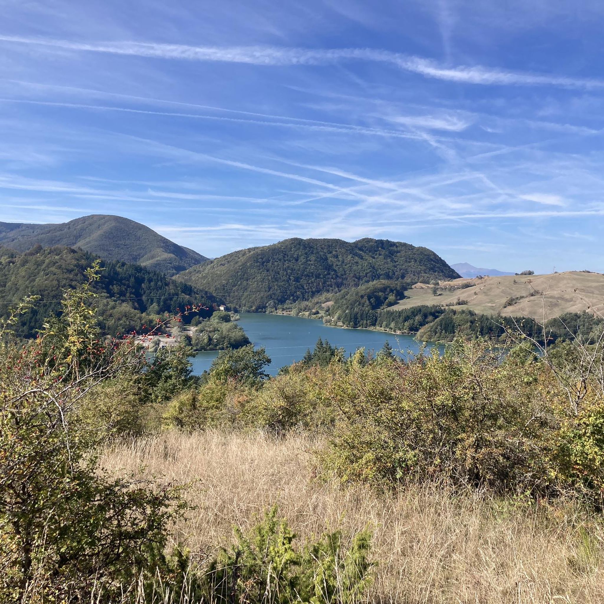
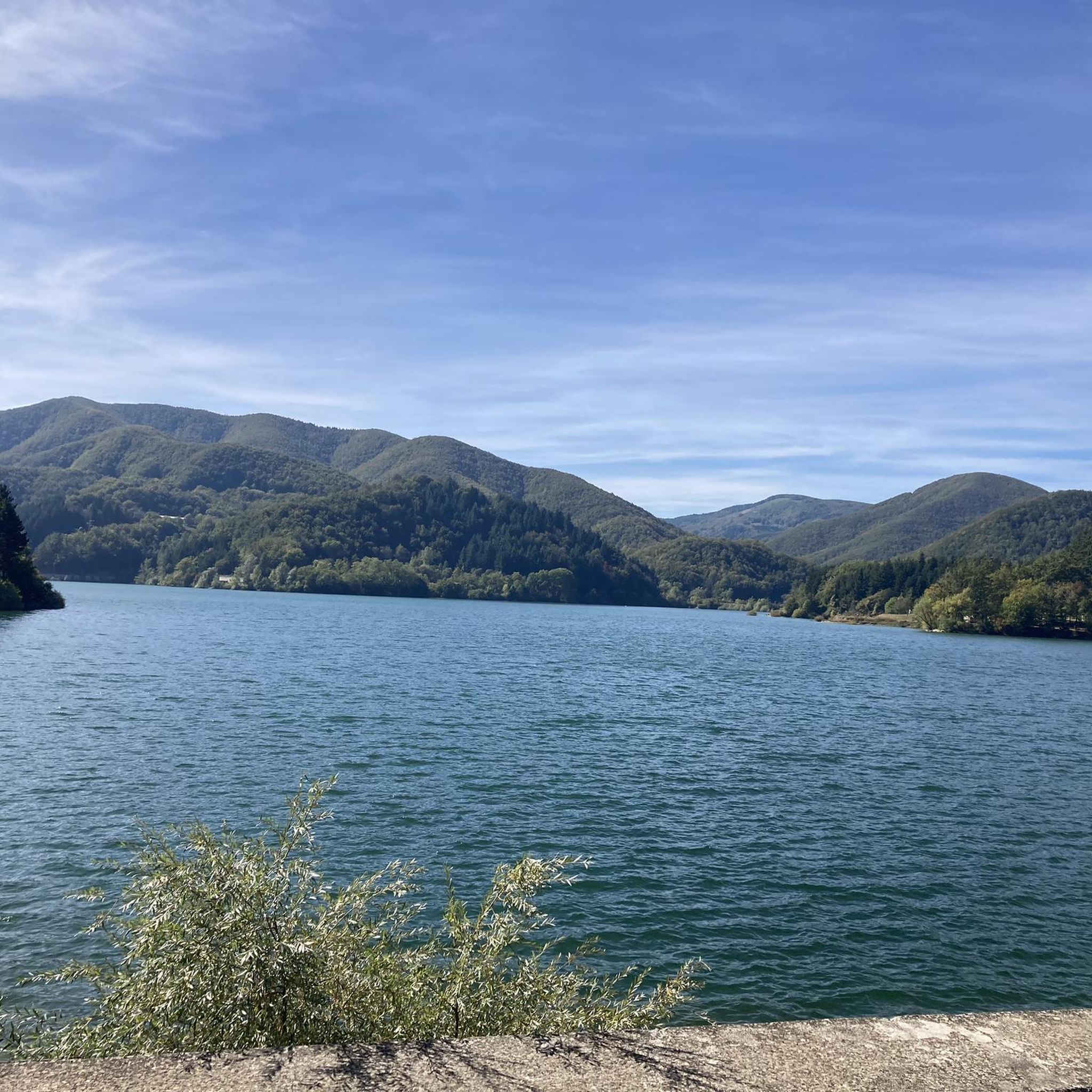
The region is rich in natural beauty and interesting landmarks. You can run past the imposing Sasso di Rocca, offering panoramic views, or explore trails within the Sassoguidano Regional Reserve with its unique badlands and karst phenomena. The nearby Corno alle Scale Regional Park also features stunning waterfalls created by the Dardagna and Silla torrents. For specific highlights, consider visiting Lake Pratignano or Lake Suviana.
Are there any unique historical sites to explore on a run?
Yes, Gaggio Montano offers a blend of natural beauty and history. You can incorporate runs that pass through ancient hamlets, past the medieval origins of Rocca Pitigliana, or near the Pieve di Affrico from 969. The unique Passo Tre Croci and the Ronchidoso Sanctuary, nestled in a fir forest, also provide serene and historically rich points of interest along various running paths. Some trails even retrace parts of the Gothic Line from World War II.
Is parking available near the running trails in Gaggio Montano?
Parking is generally available in and around Gaggio Montano, particularly in the village centers and at common trailheads. For specific routes, it's advisable to check the route details on komoot, as many start from accessible points with designated parking areas.
How can I reach the running routes using public transport?
Gaggio Montano is connected by public transport, and some routes, like those starting from Silla or Porretta Terme, are accessible via local bus services or train connections to nearby towns. Planning your journey in advance using local transport schedules is recommended to find the most convenient access points to the trails.
What is the best time of year for running in Gaggio Montano?
Gaggio Montano offers excellent running conditions throughout much of the year. Spring and autumn are particularly pleasant, with mild temperatures and beautiful scenery, especially in autumn when the foliage displays vibrant colors. Summer mornings and evenings are also ideal, while winter running can be enjoyed, though some higher elevation trails may require appropriate gear or be less accessible due to snow.
Most popular routes around Gaggio Montano
Most popular attractions around Gaggio Montano

Get inspired with the komoot mobile app


Explore more
Browse the best Running Trails & Routes in other regions.
