The best walks and hikes around Signa
4.4
(2871)
15,733
hikers
706
hikes
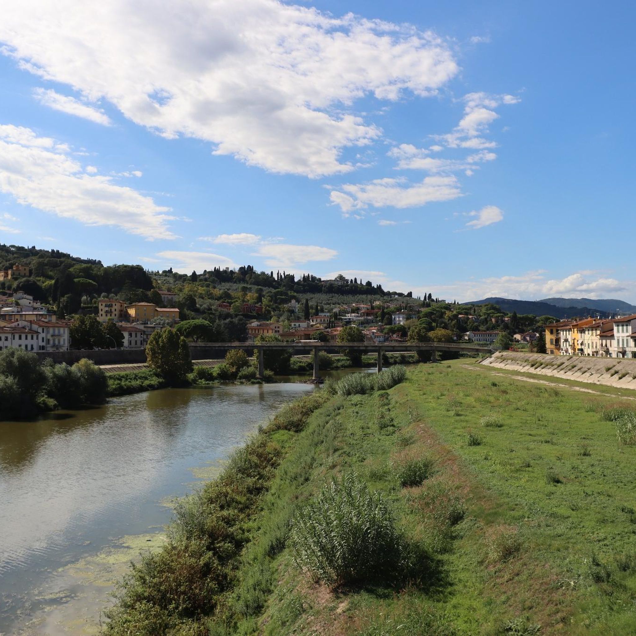
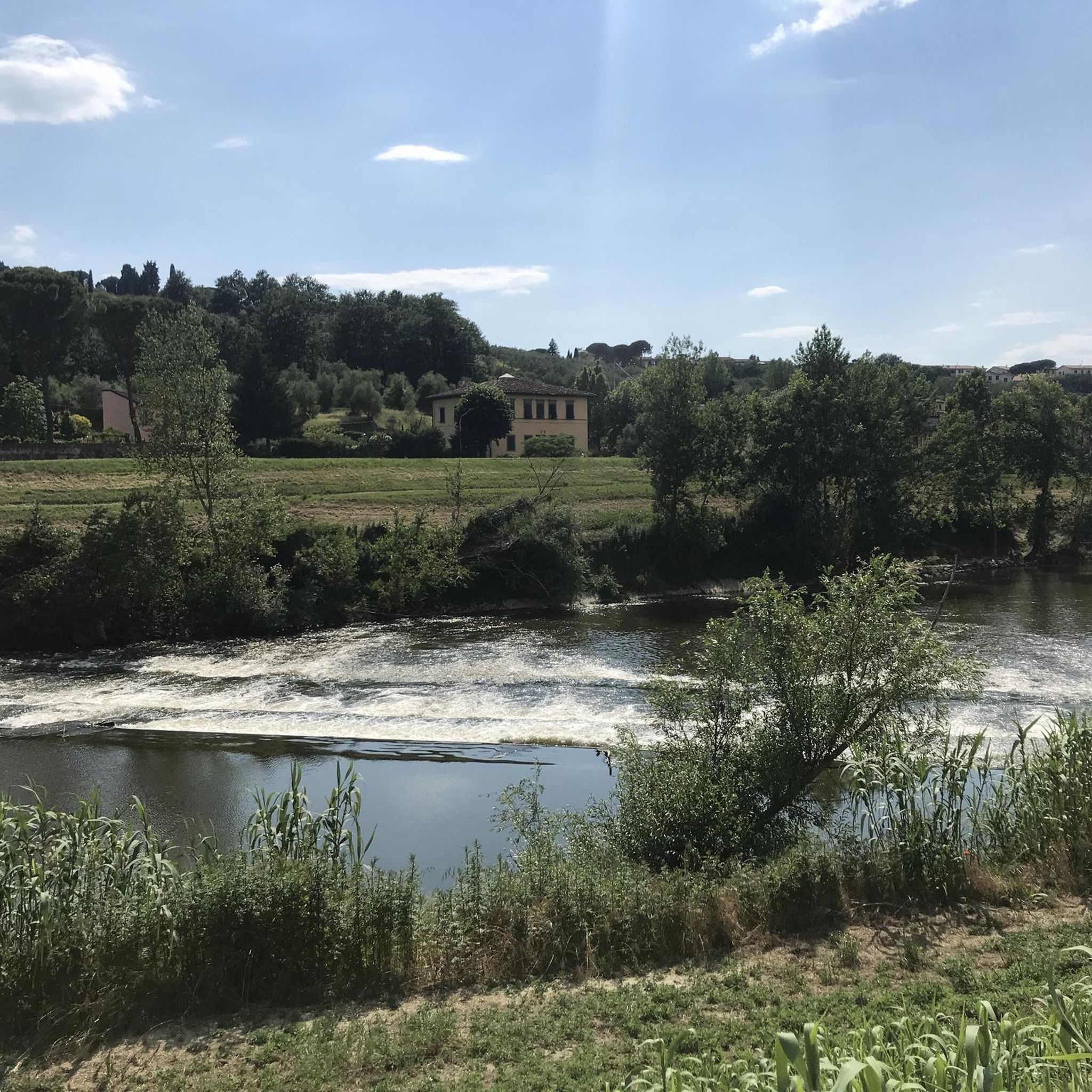
Hiking around Signa offers diverse landscapes in Tuscany, characterized by varied terrain including backroads, dirt paths, and riverside routes. The area features rolling hills, extensive olive groves, and vineyards, providing a classic Italian backdrop for outdoor activities. Natural features like Devil's Rock and accessible green spaces such as Renai Park contribute to the region's appeal for hikers. Trails cater to different fitness levels, from easy strolls to more challenging paths.
Best hiking trails around Signa
- The most popular hiking route…
Last updated: August 19, 2026
4.3
(16)
52
hikers
Moderate hike. Good fitness required. Mostly accessible paths. Sure-footedness required.
3.8
(15)
30
hikers
Moderate hike. Good fitness required. Easily-accessible paths. Suitable for all skill levels.

Sign up for free
4.1
(7)
25
hikers
7.46km
02:13
230m
230m
Moderate hike. Good fitness required. Easily-accessible paths. Suitable for all skill levels.
4.0
(7)
24
hikers
Moderate hike. Good fitness required. Easily-accessible paths. Suitable for all skill levels.
5.0
(1)
20
hikers
2.64km
00:40
10m
10m
Easy hike. Great for any fitness level. Easily-accessible paths. Suitable for all skill levels.
Get access to more routes and recommendations from other explorers.
Sign up for free
Already have an account?
Our route recommendations are based on thousands of hikes, rides, and runs completed by other people on komoot.
Start today with a free account
Your next adventure awaits.
Login or Signup

Tips from the Community


in cerbaia stop at the bar da pimpina, excellent, especially the rice puddings!
1
0

The fearsome climb of Ortimino. But boy, what a view
1
0

The villa is also called “La Ferdinanda” and is a worthwhile running destination on the mountain ridge.
2
0

The viewpoint of Poggio alla Malva is truly a viewpoint and an excellent stopping point.
0
0

beautiful village, excellent for a break with bars and restaurants, there is also an archaeological museum
1
0
fascinating historical point, unfortunately abandoned to itself, all closed with fences
1
0

This place is located in one of the most beautiful and important areas of Medici history in Tuscany. Worth a visit if only for the panoramic view it offers. Just adjacent is the Barchetto della Pineta, one of the most extensive and complete Medici hunting lodges in terms of the number and quality of the structures. The Barchetto della Pineta was part of Poggio alla Malva, a small hill overlooking the Arno, where it is still possible to admire the original access to the banned, the Porta della Pineta.
2
0
Frequently Asked Questions
What kind of terrain can I expect on hiking trails around Signa?
Hiking around Signa offers a diverse landscape, featuring a mix of backroads, dirt roads, and pleasant riverside paths. You'll also encounter classic Tuscan scenery with rolling hills, extensive olive groves, and vineyards, providing varied terrain for exploration.
Are there any easy hiking trails suitable for beginners in Signa?
Yes, Signa offers several easy trails. For instance, the Hiking loop from Lastra a Signa is an easy 6.3 km path that takes about 1 hour 36 minutes to complete, perfect for a relaxed stroll through the local landscape.
What are some notable natural features or landmarks to look out for while hiking in Signa?
Beyond the scenic olive groves and vineyards, you can explore natural features like Devil's Rock (Pietramarina), an isolated boulder with historical significance. Green spaces like Renai Park also offer pleasant areas for exploration. For specific points of interest, consider visiting the Arnovecchio Nature Reserve or the Parco dei Renai Entrance.
Are there any circular hiking routes available in Signa?
Yes, many routes around Signa are designed as loops. A popular option is the Le Piagge Riverside Path loop from Signa, which is a moderate 14.2 km trail offering scenic riverside views.
What do other hikers enjoy most about the trails in Signa?
The hiking routes in Signa are highly rated by the komoot community, with an average score of 4.4 stars from over 2400 reviews. Hikers often praise the diverse landscapes, from riverside paths to rolling hills and olive groves, and the variety of trails catering to different ability levels.
Are there any trails that offer panoramic views of the countryside?
Absolutely. The View of Comeana – Former Nobel Explosives Factory loop from Signa is a moderate 10.3 km trail specifically known for providing stunning panoramic views of the surrounding Tuscan countryside as it traverses varying elevations.
Can I find trails that lead to significant green areas or parks from Signa?
Yes, some routes from Signa can connect you to larger green spaces. For example, the Cascine Park – Parco dei Renai Entrance loop from Signa is a challenging 22.9 km trail that leads towards the significant green areas of Cascine Park and Parco dei Renai.
How many hiking trails are there in Signa?
There are over 10 hiking routes around Signa, offering a range of options from easy strolls to more challenging ascents, ensuring there's something for every fitness level.
Are there any lakes or water features accessible via hiking trails near Signa?
Yes, the region around Signa features several lakes. You can find highlights such as Chiesanova Lake and Lake Querciola, which can be points of interest on your hikes.
What is the typical duration for a moderate hike in Signa?
Moderate hikes in Signa can vary in duration. For example, the Le Piagge Riverside Path – Anfiteatro delle Cascine loop from San Donnino, a moderate 12.1 km trail, typically takes around 3 hours 4 minutes to complete.
What is the best time of year to go hiking in Signa?
Tuscany, including Signa, is beautiful for hiking in spring (April-May) and autumn (September-October) when the weather is mild and the landscapes are vibrant with blossoms or autumn colors. Summer can be hot, especially midday, while winter offers cooler, quieter trails.
Most popular attractions around Signa

Get inspired with the komoot mobile app


Explore more
Browse the best Hikes in other regions.
