The best walks and hikes around Ulrichskirchen-Schleinbach
4.6
(1170)
5,552
hikers
54
hikes
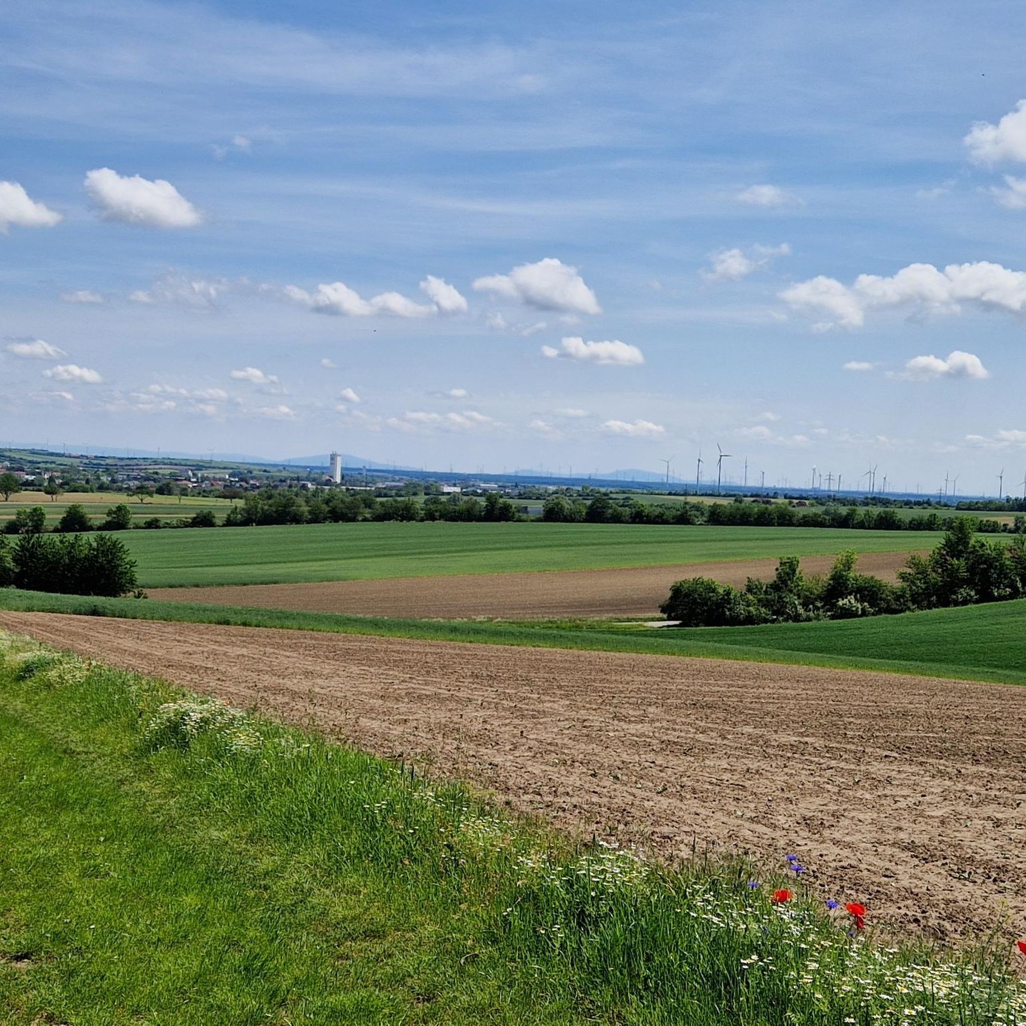
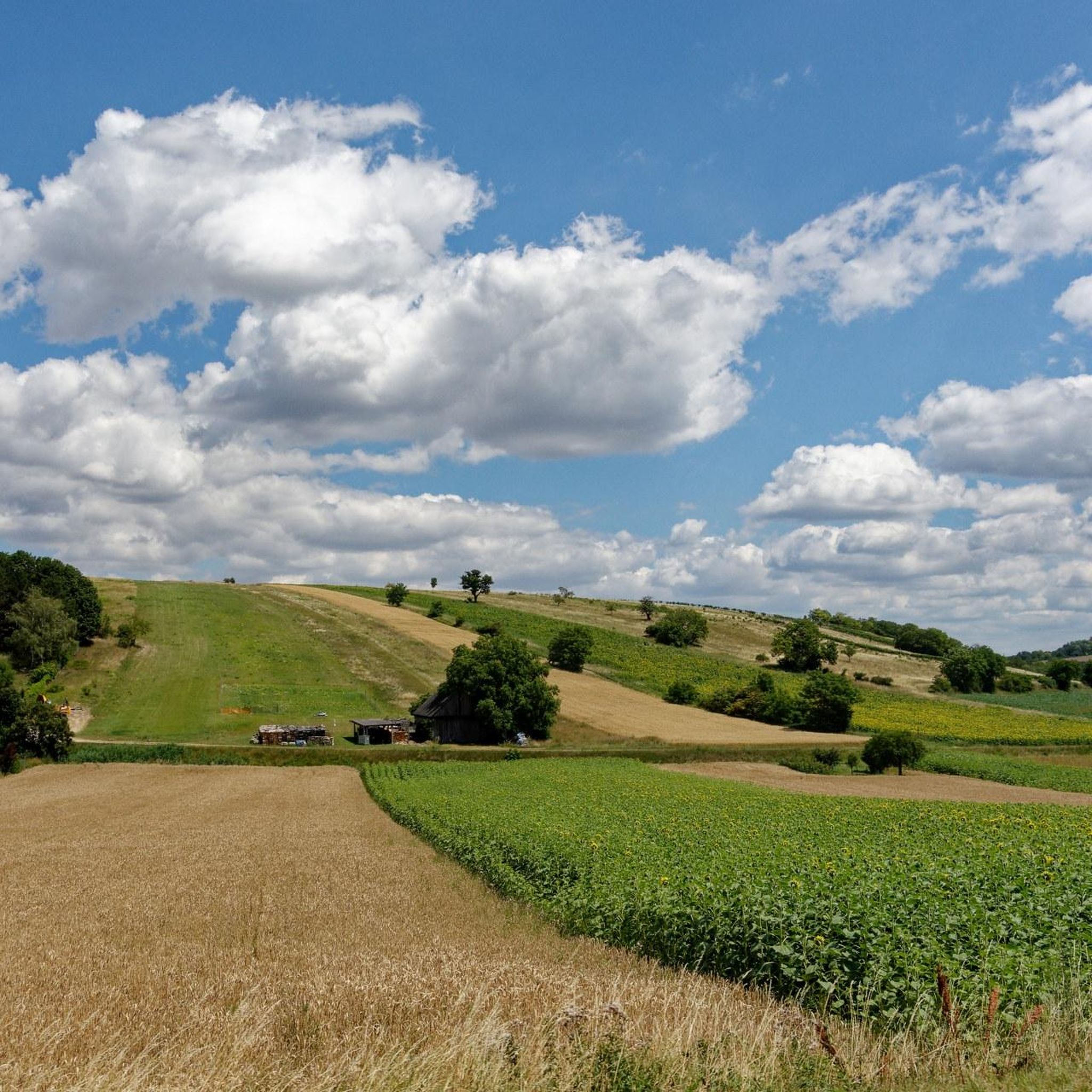
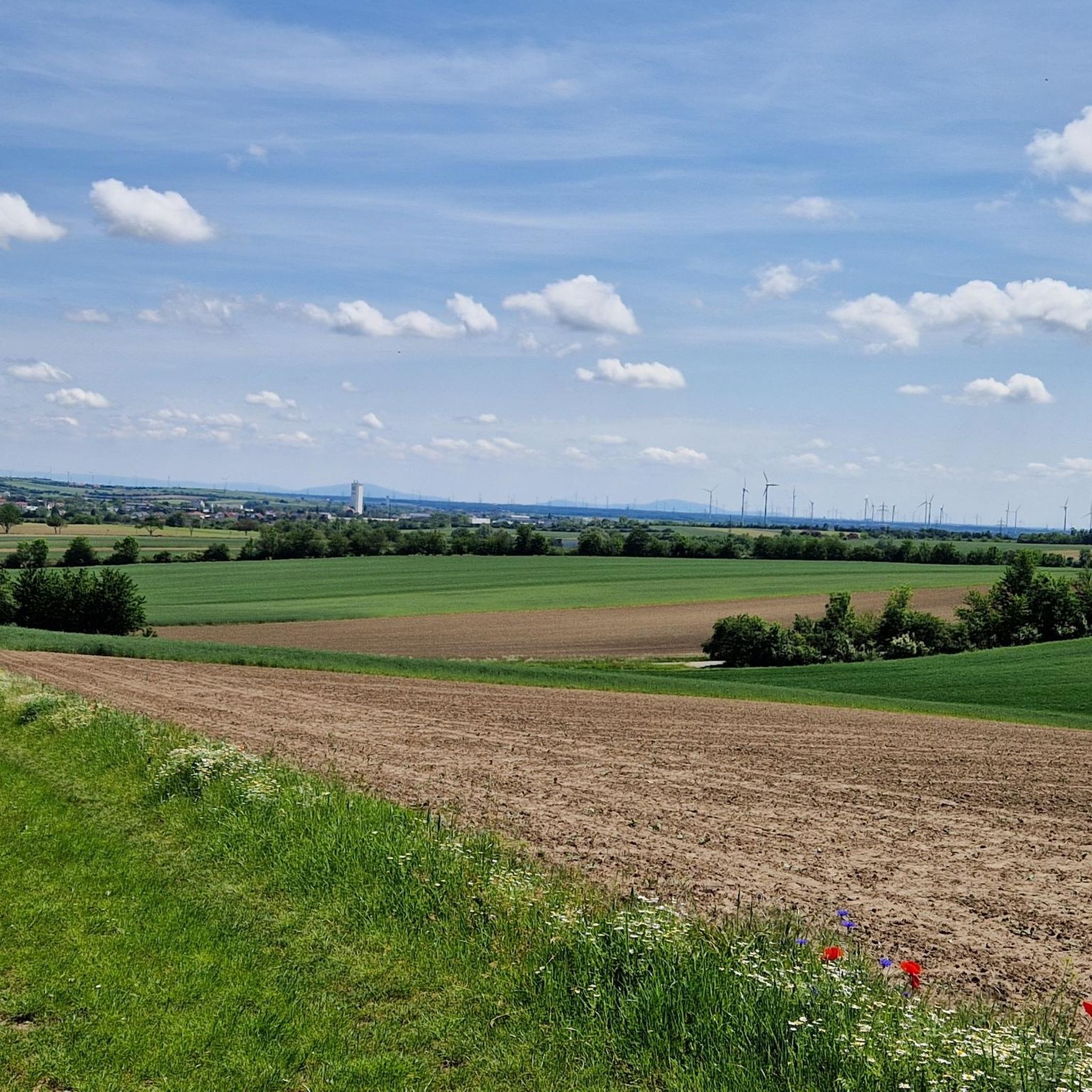
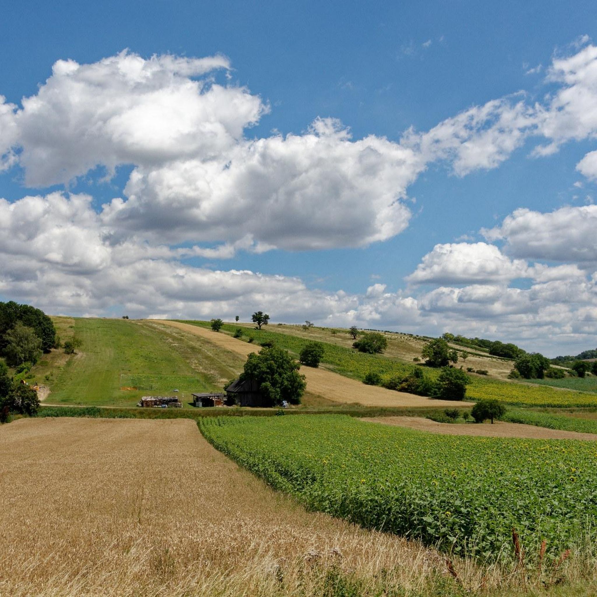
Hiking around Ulrichskirchen-Schleinbach offers diverse landscapes in the Weinviertel region, northeast of Vienna. The area is characterized by gentle, rolling hills, extensive vineyards, and mixed forests like the Kreutwald. These physical features provide varied terrain for outdoor activities, ranging from open stretches with panoramic views to shaded woodland paths.
Best hiking trails around Ulrichskirchen-Schleinbach
- The most popular hiking route is View of Unterolberndorf – Kellergasse Schleinbach loop from Schleinbach, a 5.7 miles (9.2 km) trail that takes 2 hours 34 minutes to complete. This moderate route offers views of Unterolberndorf and passes through the characteristic Kellergasse (Wine Cellar Lanes) of Schleinbach.
- Another top favourite among local hikers is View of Unterolberndorf – Würnitz Forest Pond loop from Schleinbach, a moderate 7.5 miles (12.1 km) path. This trail leads through forest areas and past the Würnitz bathing pond, providing varied scenery.
- Local hikers also love the Würnitz Forest Pond – View of Unterolberndorf loop from Ulrichskirchen, a 9.6 miles (15.5 km) trail leading through forest and open areas, often completed in about 4 hours 16 minutes.
- Hiking around Ulrichskirchen-Schleinbach is defined by rolling hills, vineyards, and mixed forests. The network offers options for different ability levels, from easy walks to moderate hikes.
- The routes in Ulrichskirchen-Schleinbach are highly rated by the komoot community with an average score of 4.6 stars from over 300 reviews. More than 2000 hikers have used komoot to explore Ulrichskirchen-Schleinbach's varied terrain.
Last updated: July 2, 2026
4.8
(15)
75
hikers
9.02km
02:30
170m
170m
Moderate hike. Good fitness required. Easily-accessible paths. Suitable for all skill levels.
4.9
(12)
42
hikers
12.1km
03:23
230m
230m
Moderate hike. Good fitness required. Easily-accessible paths. Suitable for all skill levels.

Sign up for free
5.0
(9)
30
hikers
15.5km
04:16
270m
270m
Moderate hike. Good fitness required. Easily-accessible paths. Suitable for all skill levels.
5.0
(1)
21
hikers
6.26km
01:46
130m
130m
Easy hike. Great for any fitness level. Easily-accessible paths. Suitable for all skill levels.
5.0
(1)
21
hikers
Easy hike. Great for any fitness level. Easily-accessible paths. Suitable for all skill levels.
Get access to more routes and recommendations from other explorers.
Sign up for free
Already have an account?
Our route recommendations are based on thousands of hikes, rides, and runs completed by other people on komoot.
Start today with a free account
Your next adventure awaits.
Login or Signup
Tips from the Community


View is very nice
1
0

Unspectacular "summit", if there was no sign you wouldn't know it. Here the path is the destination and the area is nice for biking, even if you have to ignore some driving bans. The Kreuttaler observation tower is nearby and is definitely worth a visit.
1
0

Beautiful pond with adjoining playground
1
0

View far into Marchfeld and, on a clear day, even as far as Schneeberg.
0
0

The small restaurant is also worth mentioning, drinks, little things like various sausages, fries, toast, ice cream and of course the pond festival on July 16, 2023
1
0
I was last here on January 2, 2020, nothing has changed since then, not even the unnecessary and easily overlooked 😉 driving bans. That's why I was there today - if you want to believe me - by helicopter 😅
0
0
Frequently Asked Questions
How many hiking trails are available in Ulrichskirchen-Schleinbach?
Ulrichskirchen-Schleinbach offers a wide variety of hiking opportunities, with over 50 routes available on komoot. These include 25 easy trails and 29 moderate trails, ensuring options for various fitness levels.
What kind of terrain can I expect on hikes around Ulrichskirchen-Schleinbach?
The region is characterized by the gentle, rolling hills of the Weinviertel. You'll find a diverse landscape featuring extensive vineyards, open stretches with panoramic views, and mixed forests like the magnificent Kreutwald. Trails often combine these elements, offering varied scenery.
Are there any easy, family-friendly circular walks?
Yes, there are several easy circular walks suitable for families. One excellent option is the "Feel Good" Hiking Trail (Route 3), which leads from Schleinbach train station to the observation tower, through the Kreutwald, and back through a charming cellar lane. Another easy route is the View of Unterolberndorf – Kreutal Observation Tower loop from Schleinbach, which is 6.2 km long and takes about 1 hour 45 minutes.
What are some notable landmarks or points of interest I can see while hiking?
The area boasts several interesting landmarks. You can visit the Kreuttal viewing tower (Aussichtsturm) for fantastic panoramic views over the Weinviertel. Many routes also pass through idyllic Wine Cellar Lanes (Kellergassen), which are culturally significant. The View of Unterolberndorf – Kellergasse Schleinbach loop from Schleinbach is a great way to experience these unique lanes. Additionally, the Wü rnitz bathing pond offers a pleasant resting spot on some trails.
Are there any longer hiking trails or long-distance routes that pass through the area?
Yes, Ulrichskirchen-Schleinbach is part of larger trail networks. The extensive Long-distance Trail 07 - Eastern Austrian Borderland Trail, spanning approximately 700 km, passes through the municipality. Another significant long-distance trail, the Weinviertelweg 632 (about 100 km), also takes hikers through the scenic landscapes north of Vienna.
What do other hikers enjoy most about hiking in Ulrichskirchen-Schleinbach?
The hiking routes in Ulrichskirchen-Schleinbach are highly rated by the komoot community, with an average score of 4.6 stars from over 300 reviews. Hikers often praise the diverse landscapes, including rolling hills, vineyards, and mixed forests, as well as the well-maintained paths suitable for various ability levels.
Are there any routes that feature the Würnitz Forest Pond?
Yes, the Würnitz bathing pond is a popular feature on several trails. You can explore it on the View of Unterolberndorf – Würnitz Forest Pond loop from Schleinbach, a moderate 12.1 km path that leads through forest areas and past the pond. Another option is the Würnitz Forest Pond – View of Unterolberndorf loop from Ulrichskirchen, a 15.5 km trail.
Can I find places to eat or rest along the trails?
While hiking, you might encounter various huts and self-service rest areas. For example, the Traubengarten Self-Service Rest Area (Hollingstein) and the Weingarten Hut are available. The Golden Spring Inn is also a restaurant highlight in the area.
What is the best time of year to go hiking in Ulrichskirchen-Schleinbach?
The region is beautiful throughout the warmer months. Spring and autumn are particularly pleasant for hiking, with mild temperatures and vibrant natural colors in the vineyards and forests. Summer offers lush greenery, though it can be warmer. Winter hiking is also possible, especially on less challenging routes, offering a different, serene experience.
Are there any historical sites or cultural attractions nearby?
Beyond the natural beauty, the area features historical attractions such as Ulrichskirchen Castle. In Kronberg, the Himmelkeller stands as a museum and exhibition space within an extensive cellar labyrinth, showcasing efforts to preserve the region's unique cellar culture. You can also find natural monuments like the Marienbründl Spring on Heiligen Berg.
Are there any hikes that explore the characteristic Wine Cellar Lanes?
Absolutely. The Wine Cellar Lanes (Kellergassen) are a defining feature of the region. The View of Unterolberndorf – Kellergasse Schleinbach loop from Schleinbach is an excellent route that takes you directly through these idyllic and culturally significant lanes. Another option is the Enchanted Wine Cellar Lane – Glockenberg Forest Rest Area loop from Ulrichskirchen.
Most popular routes around Ulrichskirchen-Schleinbach
Most popular attractions around Ulrichskirchen-Schleinbach

Get inspired with the komoot mobile app


Explore more
Browse the best Hikes in other regions.
