The best MTB trails around Uhlstädt-Kirchhasel
4.5
(59)
231
riders
37
rides
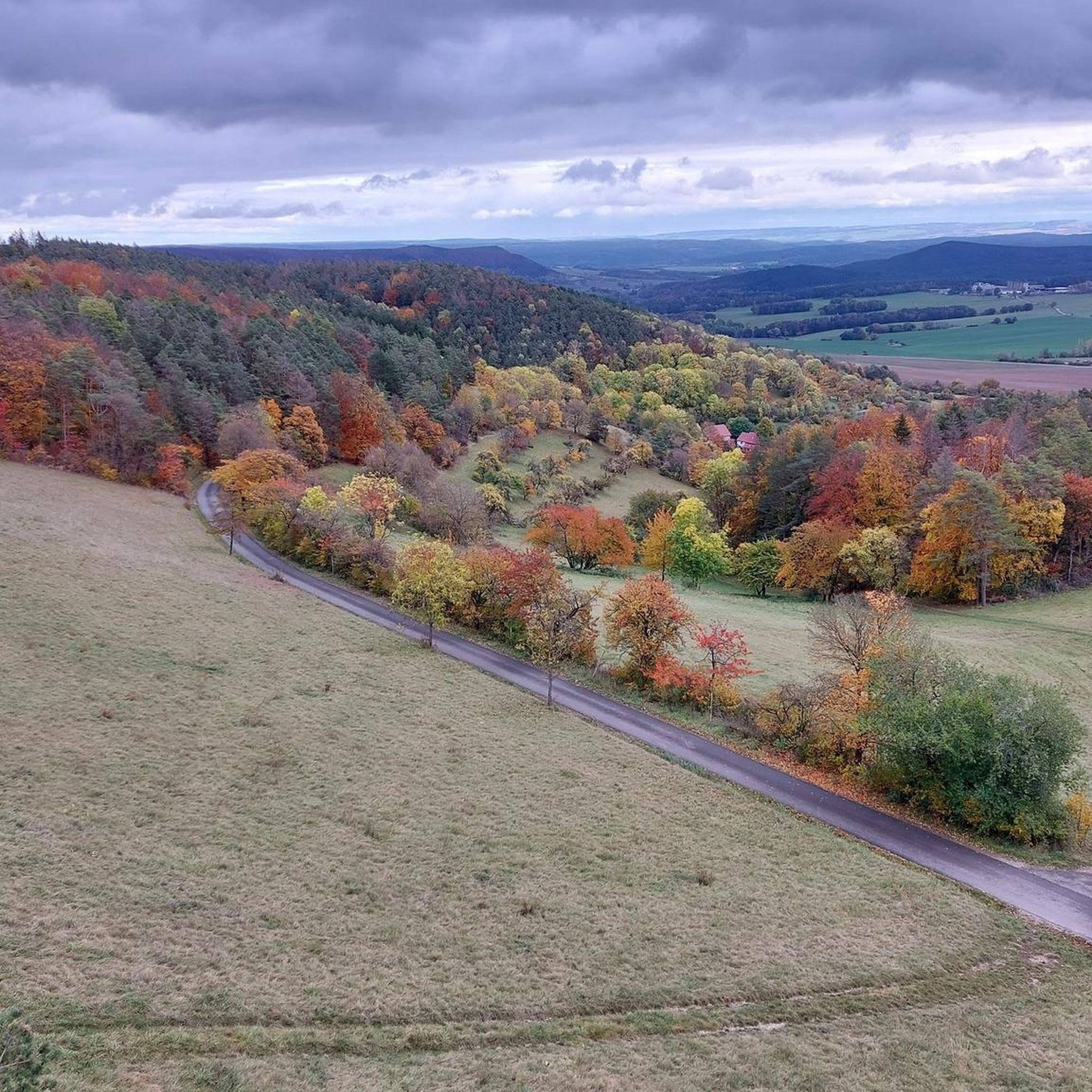
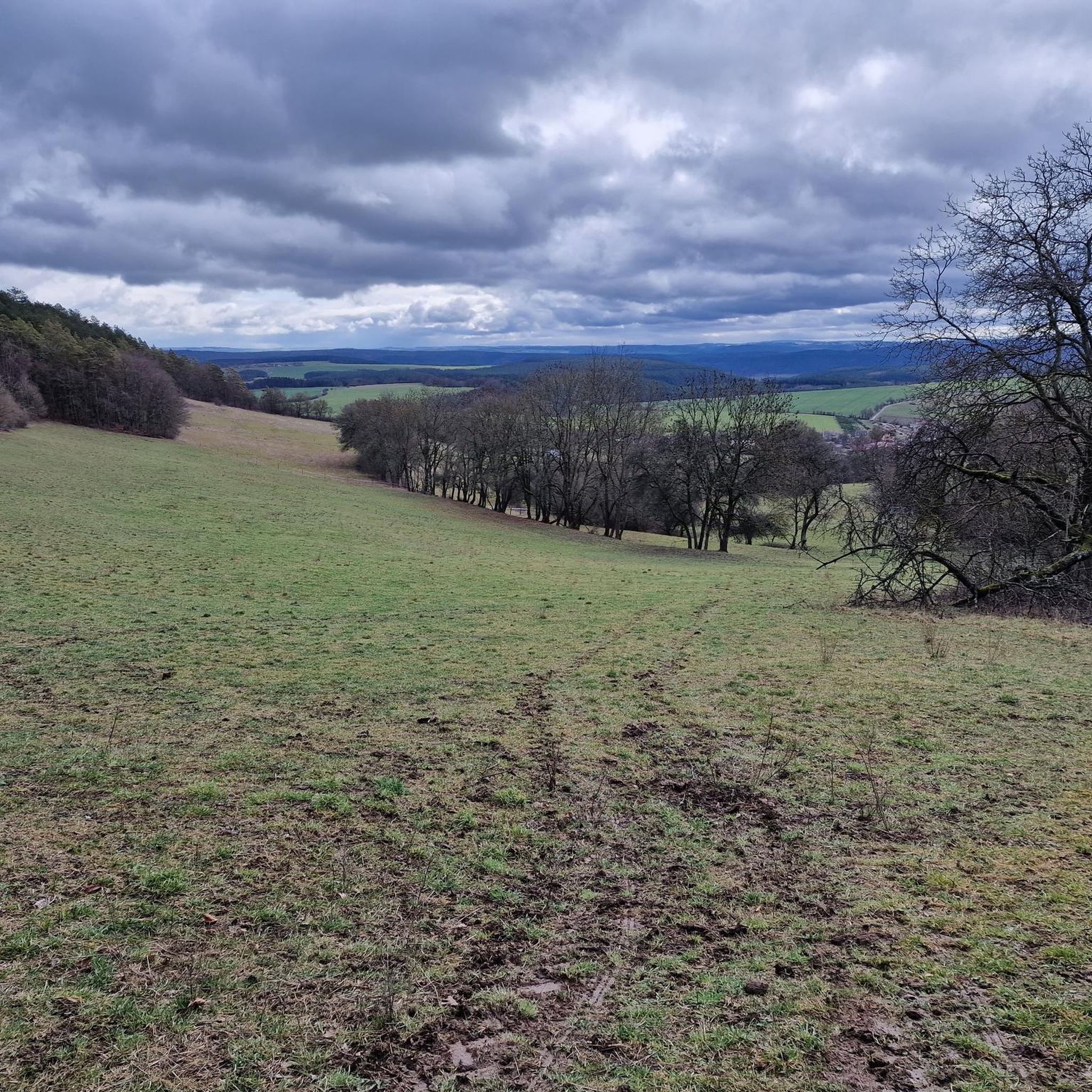
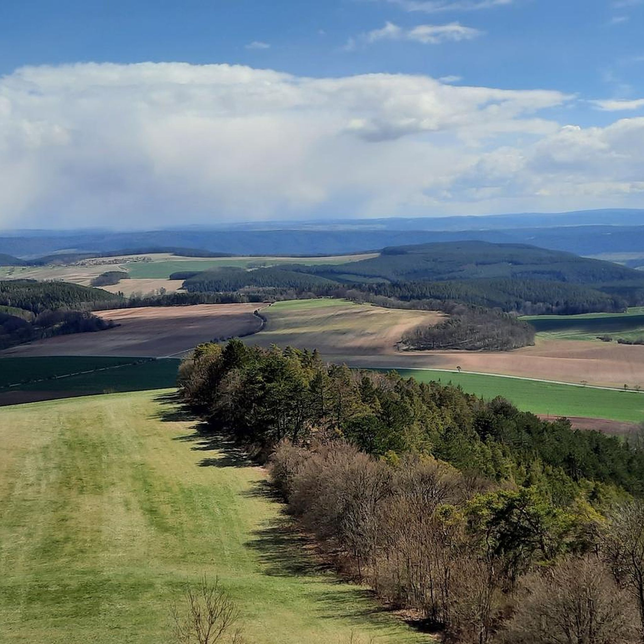
Mountain biking around Uhlstädt-Kirchhasel offers diverse terrain within the scenic Saale valley, bordered by side valleys and surrounding hills. The region features extensive forests like the Uhlstädter Heide Nature Reserve, providing a network of trails. Elevations range from 169 meters in the valley to 526 meters at "Die Wache," offering varied gradients for mountain bikers. This varied topography includes gentle hills and steeper climbs, catering to different skill levels.
Best mountain bike trails around Uhlstädt-Kirchhasel
- The most popular mountain bike…
Last updated: August 31, 2026
4.4
(7)
18
riders
44.3km
03:46
820m
820m
Hard mountain bike ride. Good fitness required. Advanced riding skills necessary. Some portions of the route may require you to push your bike.
4.6
(14)
42
riders
46.5km
02:40
260m
260m
Moderate mountain bike ride. Good fitness required. Suitable for all skill levels.

Sign up for free
4.4
(7)
17
riders
40.2km
03:18
730m
730m
Moderate mountain bike ride. Good fitness required. Advanced riding skills necessary.
5.0
(4)
16
riders
61.5km
03:57
700m
700m
Hard mountain bike ride. Good fitness required. Advanced riding skills necessary. Some portions of the route may require you to push your bike.
4.8
(4)
11
riders
77.2km
06:46
1,290m
1,290m
Hard mountain bike ride. Very good fitness required. Advanced riding skills necessary. Some portions of the route may require you to push your bike.
Get access to more routes and recommendations from other explorers.
Sign up for free
Already have an account?
Our route recommendations are based on thousands of hikes, rides, and runs completed by other people on komoot.
Start today with a free account
Your next adventure awaits.
Login or Signup
Other adventures around Uhlstädt-Kirchhasel

Tips from the Community

It's worth making a short stop here!
1
0

Here you have a great view of the Saale.
0
0

Currently, Schillers Höhe is not accessible due to a landslide, otherwise it is beautiful.
0
0

The Kienberghaus is located high above Uhlstädt and is visible from afar. Unfortunately, it's currently closed. The view was fantastic; we even saw the Zugspitze! 😄
0
0
The mountain lodge can be reached on foot, by bike, or by car. However, it is temporarily closed. 🙄
0
0

It was closed when I arrived. There were no opening hours posted either.
0
0

Great view of the Saale valley after a brisk and fast climb up many stairs from Uhlstädt...
0
0
The view of the Saale river is very calming.
1
0
Frequently Asked Questions
What kind of terrain can I expect on mountain bike trails in Uhlstädt-Kirchhasel?
The region offers a diverse range of terrain, from the scenic Saale valley to surrounding hills and extensive forests like the Uhlstädter Heide Nature Reserve. You'll find varied gradients, including gentle hills and steeper climbs, with elevations ranging from 169 meters in the valley to 526 meters at "Die Wache." This varied topography caters to different skill levels, providing options for both moderate paths and challenging ascents.
Are there mountain bike trails suitable for beginners or less experienced riders?
Yes, Uhlstädt-Kirchhasel offers trails for various skill levels. While some routes feature significant elevation gain, there are also moderate paths available. For example, the Sandstone Cliff – Kienberghaus loop from Uhlstädt is a moderate 25-mile (40.3 km) path that provides beautiful views without extreme difficulty.
What are some challenging mountain bike trails for experienced riders?
Experienced riders seeking a challenge will find several difficult routes. The Saalleitenweg Trail – Weißenburg Castle loop from Zeutsch is a difficult 27.5-mile (44.3 km) trail with significant elevation gain. Another demanding option is the Saalleitenweg Trail – Oppurg Castle loop from Uhlstädt, a 38.2-mile (61.5 km) difficult route through varied landscapes.
What are the best times of year for mountain biking in Uhlstädt-Kirchhasel?
Spring and autumn are generally considered the best seasons for mountain biking in the region. During these times, the weather is mild, and the natural scenery is particularly beautiful, making for an enjoyable riding experience.
Are there any viewpoints or landmarks to visit along the mountain bike trails?
Absolutely. The region is rich with viewpoints and historic landmarks. You can visit the Carolinenturm on Kötsch for panoramic views, or the Kienberghaus, which offers one of the most beautiful views of Uhlstädt and the Saale valley. The Luisenturm on the Hummelsberg – Weißenburg Castle loop from Heilingen also passes by the Luisenturm, offering extensive views across the Saale valley.
Can I find mountain bike trails that are suitable for families?
While specific family-friendly mountain bike trails are not explicitly highlighted, the diverse topography includes gentle hills and moderate paths that can be suitable for families with varying skill levels. It's recommended to check the difficulty ratings and elevation profiles of individual routes to find one that matches your family's capabilities.
What do other mountain bikers say about the trails in Uhlstädt-Kirchhasel?
The mountain bike routes in Uhlstädt-Kirchhasel are highly rated by the komoot community, with an average score of 4.6 stars from around 40 reviews. More than 180 mountain bikers have used komoot to explore the varied terrain, often praising the scenic beauty of the Saale valley and the diverse challenges offered by the trails.
Are there any bike parks or specialized mountain biking facilities in the area?
Yes, the broader Saalfeld-Rudolstadt region, which includes Uhlstädt-Kirchhasel, offers bike parks with various obstacles like jumps and steep curves. You can find facilities such as Mountain biking at the Kamsdorf Visitor Mine and the Fairy Bike Trail Center: Wilder Hunt, which provide specific challenges for mountain bikers.
How many mountain bike trails are available in Uhlstädt-Kirchhasel?
There are over 35 mountain bike trails available around Uhlstädt-Kirchhasel. These include a mix of easy, moderate, and difficult routes, ensuring options for all skill levels.
Are there any long-distance mountain bike routes in the region?
Yes, some routes offer significant distances for longer rides. For example, the Belvedere Palace Weimar – Hainturm (Belvederer Forest) loop from Rödelwitz is a challenging 48-mile (77.2 km) route, providing an extensive ride through the landscape.
What natural features define the mountain biking experience in Uhlstädt-Kirchhasel?
The mountain biking experience is largely defined by the picturesque Saale valley, which forms the center of the municipality, and the surrounding side valleys and hills. The extensive Uhlstädter Heide Nature Reserve also contributes significantly, offering a vast network of trails through forests. The varying elevations, from riverbanks to higher peaks, create a dynamic and engaging environment for riders.
Most popular routes around Uhlstädt-Kirchhasel
Most popular attractions around Uhlstädt-Kirchhasel

Get inspired with the komoot mobile app


Explore more
Browse the best MTB trails in other regions.
