The best walks and hikes around Sant'Andrea Apostolo Dello Ionio
4.3
(50)
351
hikers
28
hikes
Hiking trails around Sant'Andrea Apostolo Dello Ionio traverse a diverse landscape, ranging from coastal plains to the foothills of the Serre mountains. The region features a marine area with flat terrain and olive groves along the Ionian Sea, transitioning to a hilly zone characterized by vineyards and vegetable gardens. Further inland, the mountain area offers dense forests of chestnut, holm oak, and beech trees, with rivers like Alaca and Salubro creating waterfalls. This varied topography provides a range of hiking experiences.
Best hiking trails around Sant'Andrea Apostolo Dello Ionio
- The most popular hiking route is Cascata dell'Assi – loop tour in the Parco delle Serre, a 5.7 miles (9.2 km) trail that takes 3 hours 12 minutes to complete. This moderate route features a significant elevation gain of 1,643 feet (501 m) within the Serre Regional Natural Park.
- Another top favourite among local hikers is Lake Lacina – Regional Natural Park of Serre, a moderate 7.6 miles (12.3 km) path. This trail leads through the natural park, offering views of Lake Lacina and surrounding forests.
- Local hikers also love the Fiume Gallipari from Isca sullo Ionio, a 3.9 miles (6.2 km) trail leading through riverine landscapes, often completed in about 1 hour 53 minutes.
- Hiking around Sant'Andrea Apostolo Dello Ionio is defined by coastal paths, rolling hills with agricultural land, and mountainous forests with waterfalls. The network offers options for different ability levels, from easy walks to more challenging ascents.
- The routes in Sant'Andrea Apostolo Dello Ionio are highly rated by the komoot community with an average score of 4.5 stars from more than 30 reviews. More than 200 hikers have used komoot to explore Sant'Andrea Apostolo Dello Ionio's varied terrain.
Last updated: July 8, 2026
2.5
(4)
10
hikers
9.24km
03:12
500m
500m
Moderate hike. Good fitness required. Easily-accessible paths. Suitable for all skill levels.
2.3
(4)
6
hikers
12.3km
04:27
390m
390m
Moderate hike. Good fitness required. Easily-accessible paths. Suitable for all skill levels.

Sign up for free
5.0
(1)
3
hikers
6.23km
01:54
200m
200m
Easy hike. Great for any fitness level. Easily-accessible paths. Suitable for all skill levels.
3
hikers
11.2km
03:20
320m
320m
Moderate hike. Good fitness required. Easily-accessible paths. Suitable for all skill levels.
4.8
(9)
28
hikers
8.78km
02:55
420m
420m
Moderate hike. Good fitness required. Easily-accessible paths. Suitable for all skill levels.
Get access to more routes and recommendations from other explorers.
Sign up for free
Already have an account?
Our route recommendations are based on thousands of hikes, rides, and runs completed by other people on komoot.
Start today with a free account
Your next adventure awaits.
Login or Signup

Tips from the Community

I recommend hiking from Piano de Gatto via the 'jeep route' to the waterfall and using the same route to return. Then it should also be easy to do with children. It is not recommended to take the Contrada Felicella route. On the one hand, the path is partly overgrown with thorny bushes, and the wooden bridge is in a dilapidated condition.
0
0

Cross this adventurous bridge carefully, one at a time, or avoid it by returning the same route from the waterfall.
0
0

At this crossroads it is possible to continue along the ring road on the Alaco (the name of the river that feeds Lake Lacina), or take the path to the south which can be a shortcut to return to Mammone.
1
0
The Gallipari is a river with the length of ca. 18 kilometers. The river near a former hydroelectric station divides into two currents, where it is possible to enjoy two waterfalls: the Romito waterfall, and the Vitello waterfall.
1
0
A small waterfall with a small lake in front. In the summer it's definitely nice to cool off here. And then eat something small with the kids at the nice picnic table. I recommend hiking to the waterfall from Piano de Gatto via the 'jeep route'. Then it should also be easy to do with children. It is not recommended over the Contrada Felicella route. On the one hand, the path is partially overgrown by thorny undergrowth, then the wooden bridge is in a dilapidated condition.
0
0
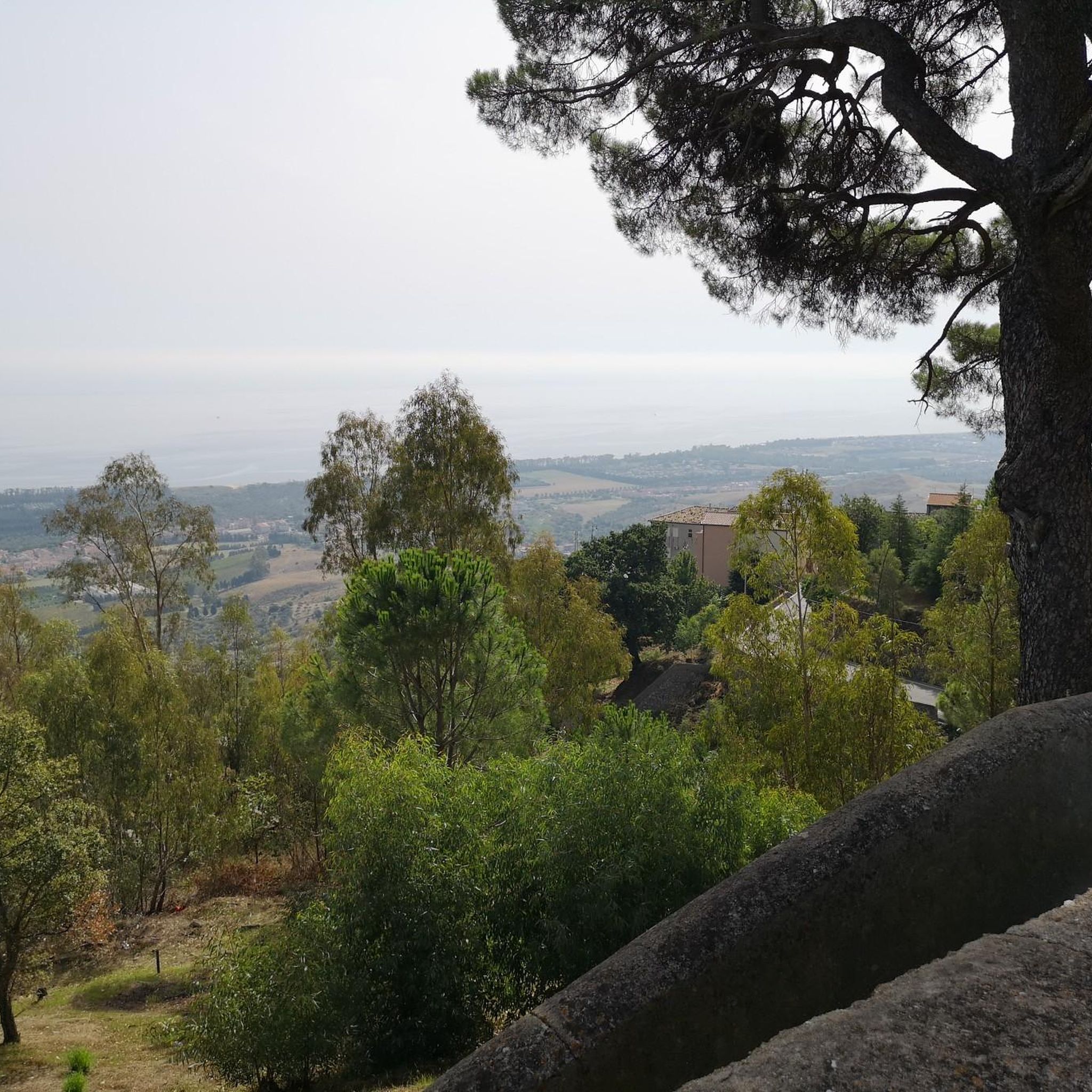
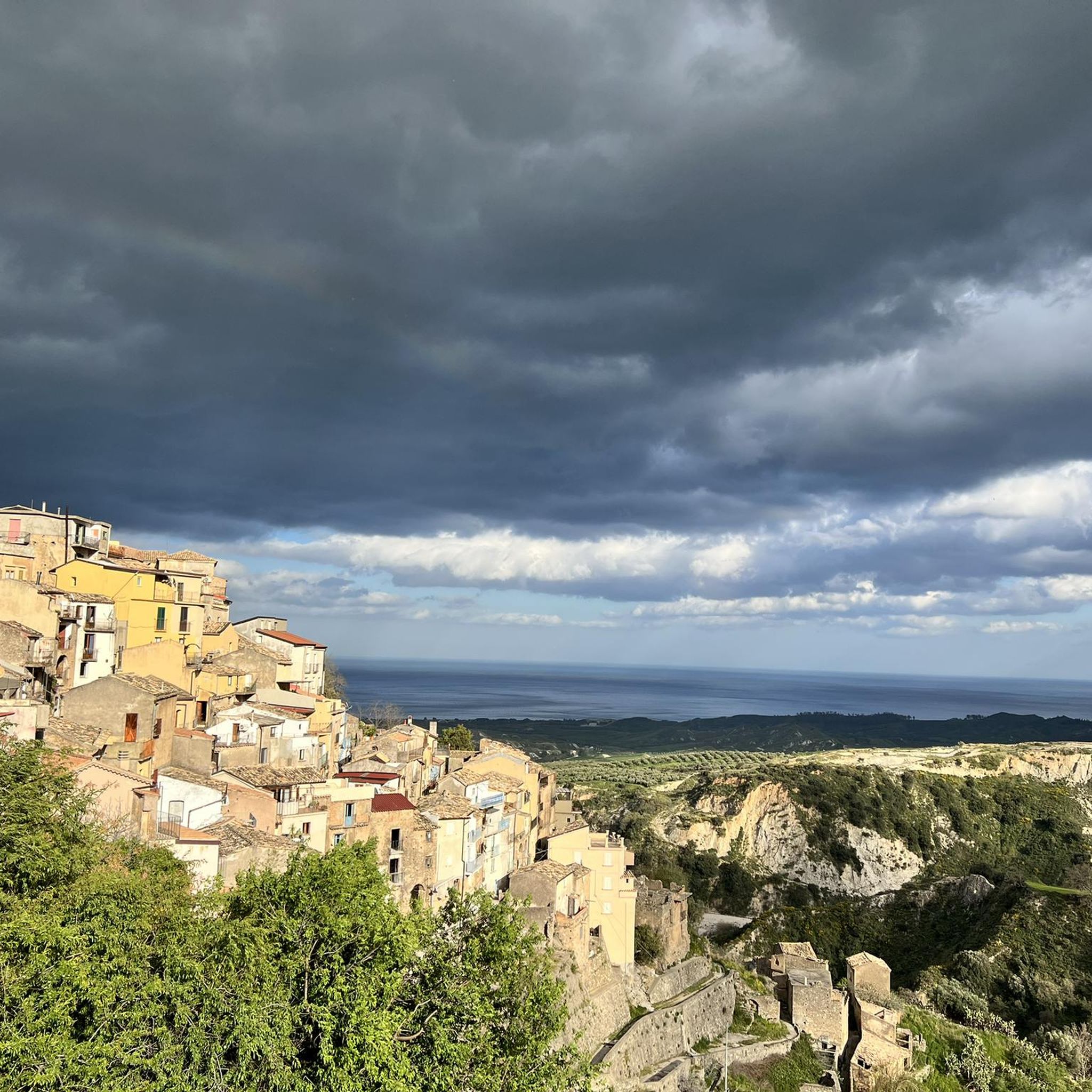
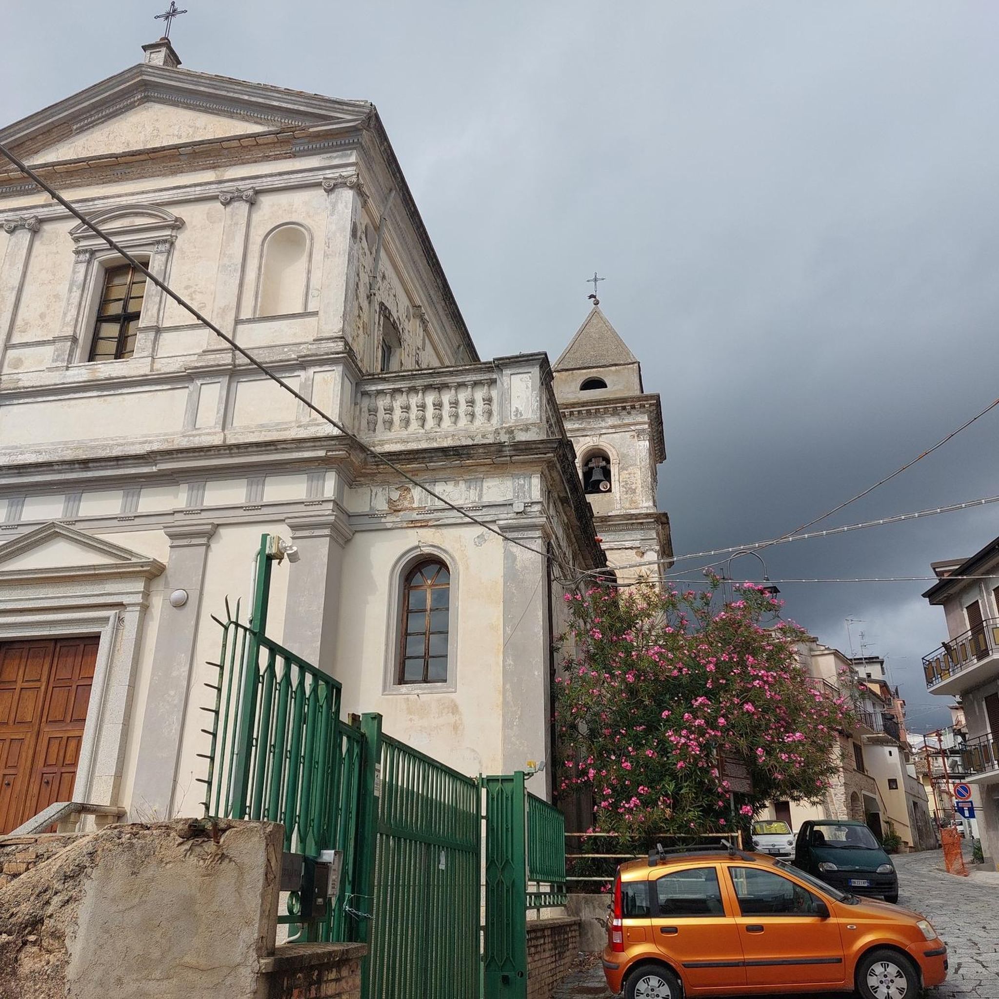
From here you have a wonderful view down to the sea, Badolato Marina and one of 14 churches in Badolato, the Chiesa dell'Immacolato. In general, Badolato Borgo with its narrow streets, the mixture of renovated and dilapidated houses and the friendly locals is worth a visit.
0
0
Frequently Asked Questions
How many hiking trails are available in Sant'Andrea Apostolo Dello Ionio?
There are over 20 hiking trails around Sant'Andrea Apostolo Dello Ionio, offering a diverse range of experiences from coastal paths to mountain ascents. The komoot community has explored more than 200 routes in the area.
What kind of landscapes can I expect to see while hiking in this region?
The region offers a unique blend of landscapes. You'll find flat marine areas with olive and citrus groves along the Ionian Sea, transitioning to hilly zones with vineyards and vegetable gardens. Further inland, the foothills of the Serre mountains feature dense forests of chestnut, holm oak, and beech trees, with rivers creating picturesque waterfalls.
Are there easy hiking trails suitable for beginners or casual walkers?
Yes, Sant'Andrea Apostolo Dello Ionio offers several easy routes. There are 6 easy trails, perfect for beginners or those looking for a relaxed walk. An example is the Soverato Beach and Promenade loop from Soverato, which is mostly flat and offers pleasant coastal views.
Can I find challenging hikes in the Sant'Andrea Apostolo Dello Ionio area?
Absolutely. The region includes mountainous terrain within the Serre mountains, providing more demanding routes. There is at least one difficult trail, and 13 moderate trails that require good fitness, often featuring significant elevation gains and longer distances, such as the Cascata dell'Assi – loop tour in the Parco delle Serre.
Are there any circular hiking routes available?
Yes, many trails in the region are circular, allowing you to start and end at the same point. A popular example is the Cascata dell'Assi – loop tour in the Parco delle Serre, which takes you through varied terrain and past natural features.
Are there hikes that feature waterfalls?
Yes, the mountain areas, particularly where the Alaca and Salubro rivers cut through the Serre mountains, are known for picturesque waterfalls. Hiking in these areas can lead you to discover these natural features, often alongside the ruins of ancient water mills.
What natural features or landmarks can I explore on the trails?
Beyond the diverse landscapes, you can explore features like the Serre mountains, Lake Lacina, and the Alaca and Salubro rivers with their waterfalls. The historic center of Sant'Andrea Apostolo Dello Ionio itself offers splendid views of the Gulf of Squillace. Nearby attractions include Montepaone Lido and the Grotto of Our Lady of Lourdes.
Are the hiking trails in Sant'Andrea Apostolo Dello Ionio family-friendly?
Many trails are suitable for families, especially the easier routes with minimal elevation gain. The diverse scenery, from coastal walks to gentle paths through olive groves, offers engaging experiences for all ages. For example, the Fiume Gallipari from Isca sullo Ionio is an easy trail that can be enjoyed by families.
Can I bring my dog on the hiking trails?
Generally, many outdoor areas in Italy are dog-friendly, but specific rules can vary by park or protected area. It's advisable to keep dogs on a leash, especially in natural parks like the Parco Naturale Regionale delle Serre, to protect wildlife and ensure a pleasant experience for all hikers. Always check local signage for specific regulations.
What do other hikers enjoy most about the trails in Sant'Andrea Apostolo Dello Ionio?
The trails in Sant'Andrea Apostolo Dello Ionio are highly rated by the komoot community, with an average score of 4.5 stars from over 30 reviews. Hikers often praise the region's varied terrain, from serene coastal paths to the lush, forested mountains, and the opportunity to discover hidden waterfalls and ancient ruins.
What is the best time of year to hike in Sant'Andrea Apostolo Dello Ionio?
The best time for hiking is typically during spring (April-June) and autumn (September-October) when temperatures are mild and the landscapes are vibrant. Summer can be very hot, especially in the coastal and hilly areas, making early morning or late afternoon hikes more comfortable. Winter offers cooler temperatures, but some higher mountain trails might be less accessible.
Is public transport available to reach trailheads?
While some trailheads might be accessible by local bus services, public transport options can be limited, especially for routes deeper into the Serre mountains. It's often recommended to use a car for greater flexibility in reaching various starting points. Always check local bus schedules in advance for specific routes.
Where can I find parking for hiking trails?
Parking availability varies by trailhead. For popular routes or those near villages, you can often find designated parking areas. For trails in more remote natural areas, roadside parking might be available. It's advisable to research specific trailheads beforehand or consult local information centers for parking recommendations.
Most popular routes around Sant'Andrea Apostolo Dello Ionio
Most popular attractions around Sant'Andrea Apostolo Dello Ionio

Get inspired with the komoot mobile app


Explore more
Browse the best Hikes in other regions.
