The best walks and hikes around Hinterstoder
4.5
(1970)
13,495
hikers
136
hikes
Hiking around Hinterstoder offers diverse landscapes within the Stodertal valley, characterized by wide meadows, dense wooded slopes, and the towering peaks of the Kalkalpen and Totes Gebirge mountain ranges. The region features dramatic alpine scenery, including scree fields and waterfalls, with access to the high plateau of the Höss. This area provides an extensive network of trails for various skill levels.
Best hiking trails around Hinterstoder
- The most popular hiking route is Stoderer Dolomiten Trail, a 5.9 miles (9.6…
Last updated: September 26, 2026
4.8
(199)
1,164
hikers
9.56km
04:45
700m
700m
Hike the difficult 5.9-mile Stoderer Dolomitensteig in Totes Gebirge, featuring dramatic alpine scenery, scree fields, and waterfalls.
4.7
(109)
1,019
hikers
12.1km
05:33
790m
790m
Hard hike. Very good fitness required. Sure-footedness, sturdy shoes and alpine experience required.

4.8
(180)
1,220
hikers
Easy hike. Great for any fitness level. Easily-accessible paths. Suitable for all skill levels.
4.7
(183)
1,202
hikers
Hard hike. Good fitness required. Sure-footedness, sturdy shoes and alpine experience required.
4.7
(50)
378
hikers
Hard hike. Good fitness required. Sure-footedness, sturdy shoes and alpine experience required.
Get access to more routes and recommendations from other explorers.
Already have an account?
Our route recommendations are based on thousands of hikes, rides, and runs completed by other people on komoot.
Start today with a free account
Your next adventure awaits.
Popular around Hinterstoder
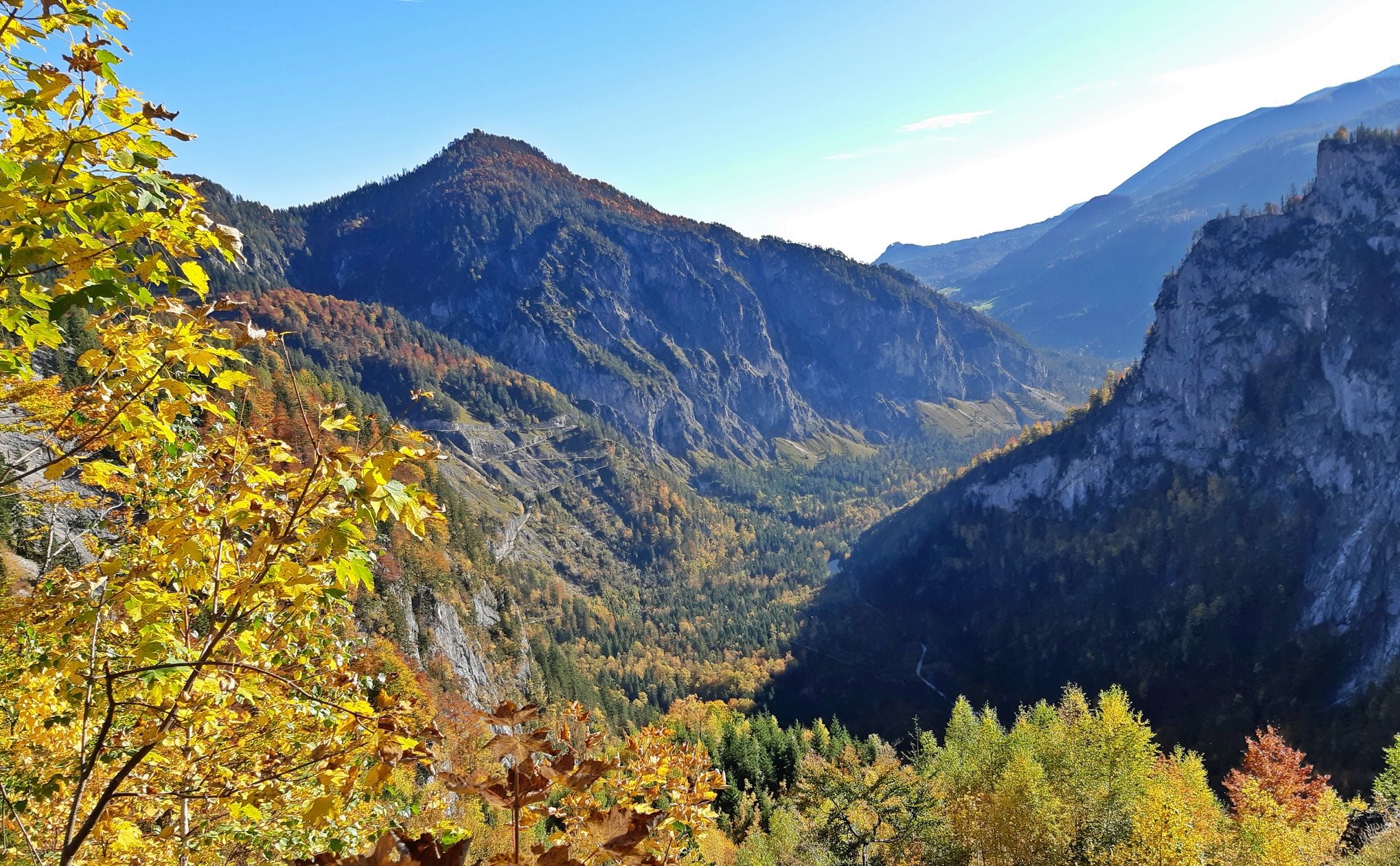
Salt Trail — On old paths through Upper Austria

North Alpine Trail 01 – Hike across Austria in 49 days
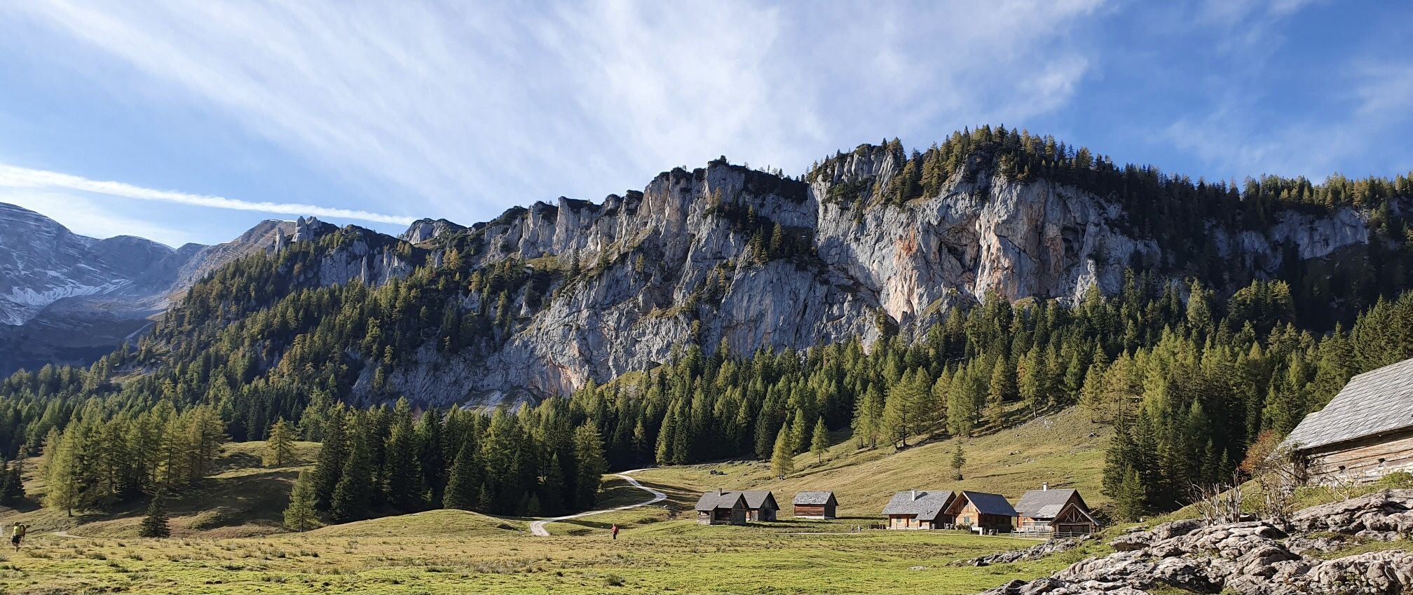
Austria's Kalkalpen Trail – Giant rocks & alpine meadows
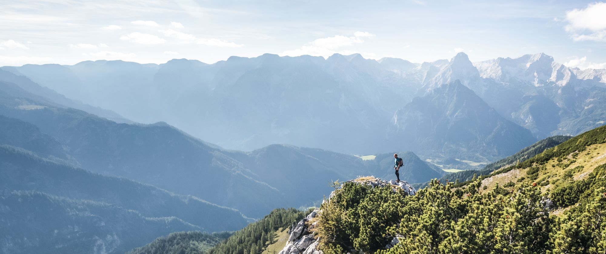
From a family hike to a summit climb – hiking in Pyhrn-Priel
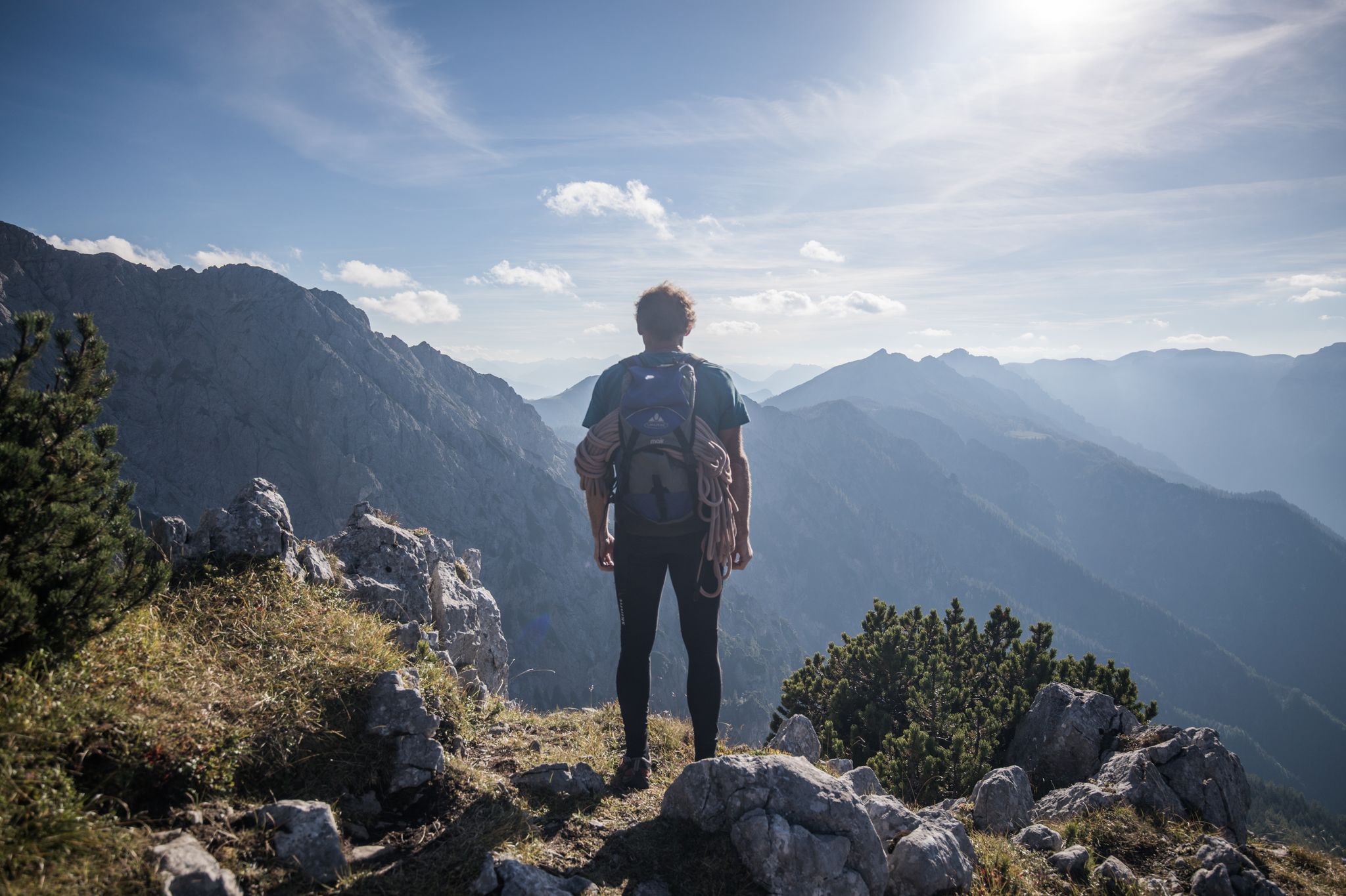
From a family hike to a via ferrata – hiking in Pyhrn-Priel

The most beautiful leisurely cycling routes in Upper Austria
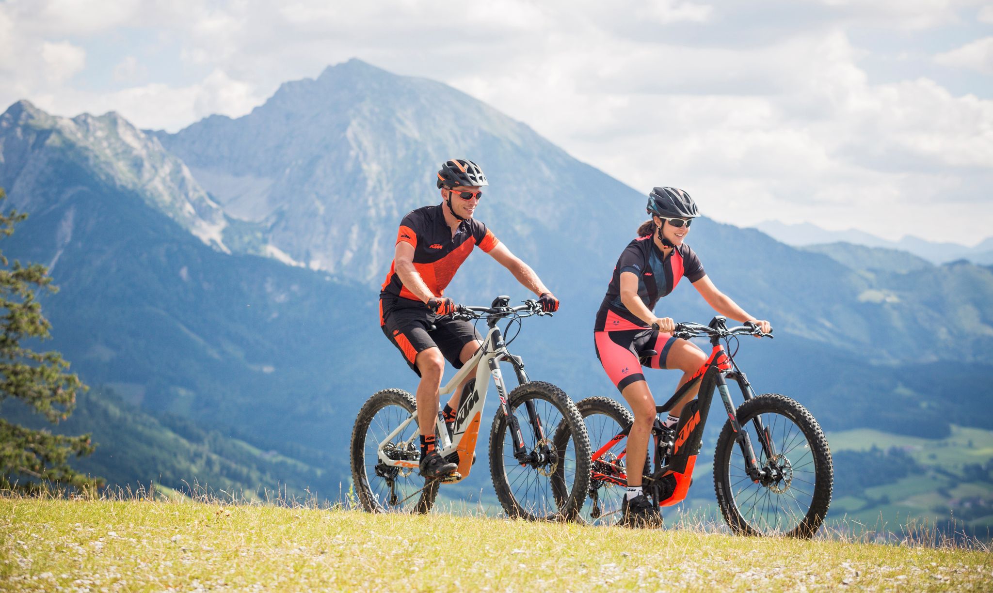
Where biker hearts beat faster — the Limestone Alps in Pyhrn-Priel
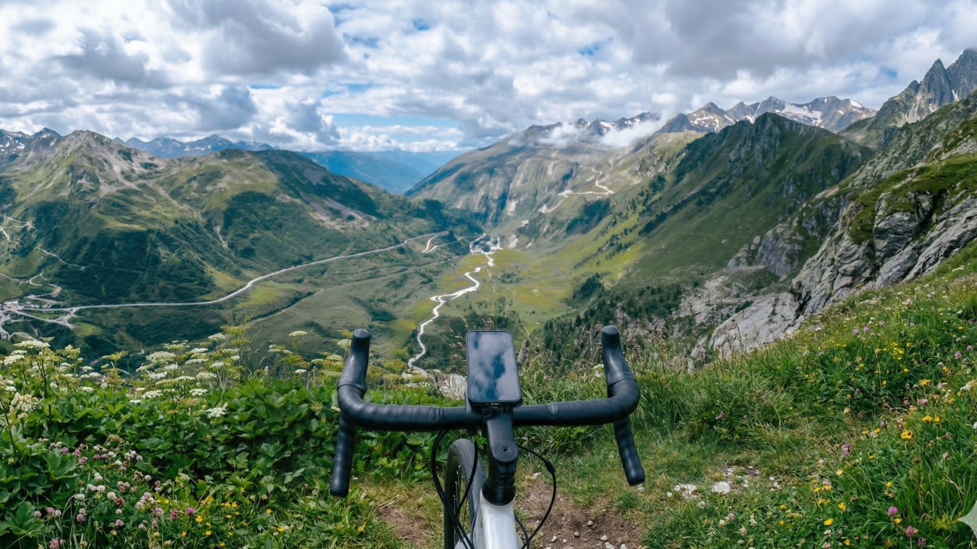
Mit FESCHD zu den schönsten Naturorten Österreichs
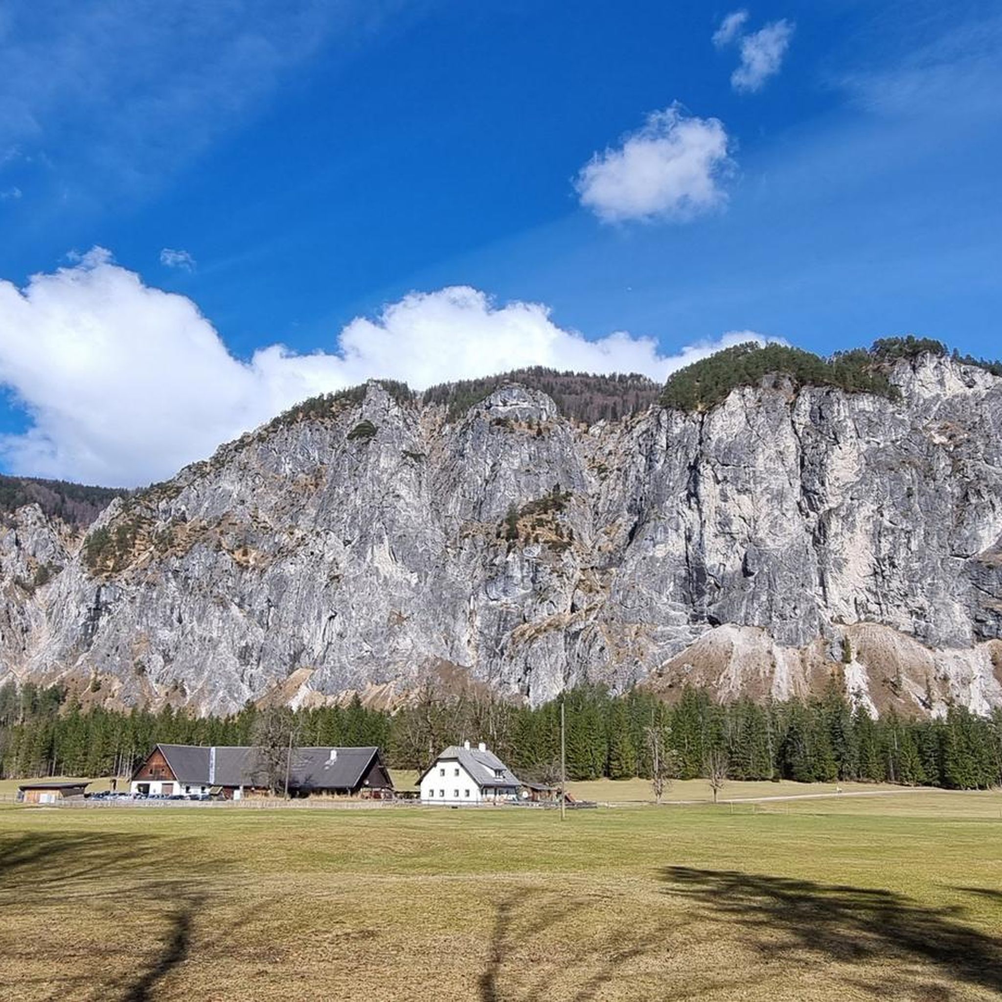
MTB Trails around Hinterstoder
Cycling around Hinterstoder
Other adventures around Hinterstoder


Tips from the Community

For hunting management reasons, the trail is closed every year from September 15 to October 1.
2
0
Sure-footedness and a head for heights are absolutely essential from the Lögerhütte onwards (some sections are secured with steel cables)
1
0
In the center runs a wide, almost completely vegetation-free scree channel, which serves as a watercourse during heavy rain. The landscape is reminiscent of an alpine scree desert.
5
0

Great panoramic view of a breathtaking mountain backdrop.
0
0

Wonderful view into the distance
0
0
Very nice place to enjoy the view
0
0
Great view when walking towards Polsterstübl
0
0

Frequently Asked Questions
How many hiking trails are available in Hinterstoder?
Hinterstoder offers an extensive network of over 130 well-developed and marked hiking trails. These routes cater to various skill levels, from leisurely walks to challenging alpine tours.
What kind of landscapes can I expect to see while hiking in Hinterstoder?
The Stodertal valley presents a diverse panorama, featuring wide flower meadows, dense wooded slopes, and the towering peaks of the Kalkalpen and Totes Gebirge mountain ranges. You'll encounter dramatic alpine scenery, scree fields, and waterfalls throughout the region, including access to the high plateau of the Höss.
Are there easy hiking trails suitable for beginners or families in Hinterstoder?
Yes, Hinterstoder has over 50 easy hiking routes perfect for beginners and families. A great option is the Schiederweiher – Forest path to the Schiederweiher loop from Hinterberg, which is 3.9 miles (6.2 km) long and takes about 1 hour 37 minutes to complete.
Are there challenging alpine routes for experienced hikers in Hinterstoder?
Absolutely. For experienced hikers, there are over 25 difficult routes. The Stoderer Dolomiten Trail is a challenging 5.9 miles (9.6 km) route with significant elevation gain through alpine terrain, typically taking around 4 hours 45 minutes. Another demanding option is From Hinterstoder to the Prielschutzhaus, a 7.5 miles (12.1 km) path leading towards the Prielschutzhaus with impressive mountain views.
What natural attractions or landmarks can I discover on hikes in Hinterstoder?
Hinterstoder is rich in natural beauty. You can visit the idyllic Schiederweiher, often called the 'pearl of the Stodertal,' with stunning views of Spitzmauer and Großer Priel. The region also features impressive gorges and waterfalls, such as the Stromboding Waterfall. For more options, explore the Lakes around Hinterstoder or Gorges around Hinterstoder guides.
Are there any circular hiking routes in Hinterstoder?
Yes, many trails in Hinterstoder are designed as circular routes. A popular choice is the Schiederweiher – Polsterstüberl loop from Hinterstoder, which is 5.3 miles (8.6 km) long and takes about 2 hours 13 minutes, leading through the scenic Stodertal valley.
What do other hikers enjoy most about the trails in Hinterstoder?
The trails in Hinterstoder are highly rated by the komoot community, with an average score of 4.5 stars from over 1,600 reviews. Hikers often praise the diverse landscapes, the well-maintained paths, and the stunning views of the Kalkalpen and Totes Gebirge mountain ranges.
Is Hinterstoder a good destination for winter hiking?
While the region is known for its summer hiking, Hinterstoder also offers opportunities for winter activities. Some trails may be suitable for winter hiking, but conditions can vary. It's advisable to check local conditions and trail accessibility before planning a winter hike.
Are there mountain huts or places to rest and eat along the trails?
Yes, the region has numerous cozy summer huts scattered throughout the area. These huts offer well-deserved breaks with regional delicacies and refreshing drinks, providing a perfect opportunity to refuel during your hike.
Are there options for wild swimming after a hike in Hinterstoder?
The region is home to picturesque mountain lakes like Gleinkersee, which offers opportunities for swimming. While not explicitly 'wild swimming' in remote spots, these lakes provide a refreshing dip after a hike amidst beautiful natural surroundings.
How can I access the trails in Hinterstoder, especially if I don't have a car?
Hinterstoder is accessible by public transport, and the Pyhrn-Priel ActiveCard can enhance your experience by offering free or reduced access to amenities like cable cars. Cable cars provide direct access to the high plateau of the Höss, which features a variety of trails, making it easier to explore without a car.
Most popular routes around Hinterstoder
Most popular attractions around Hinterstoder

Get inspired with the komoot mobile app


Explore more
Browse the best Hikes in other regions.
