The best walks and hikes around Uebeschi
4.6
(2688)
21,582
hikers
834
hikes
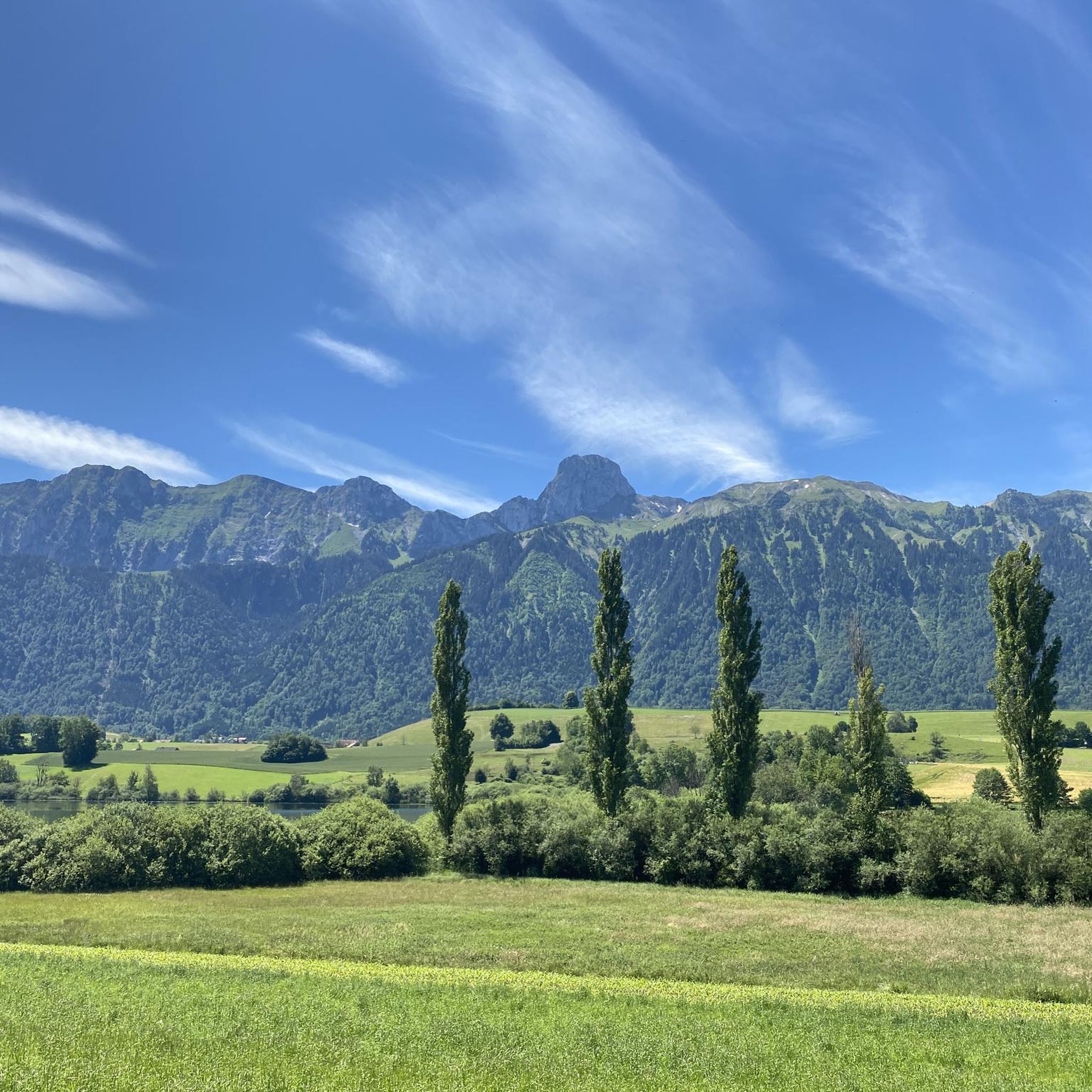
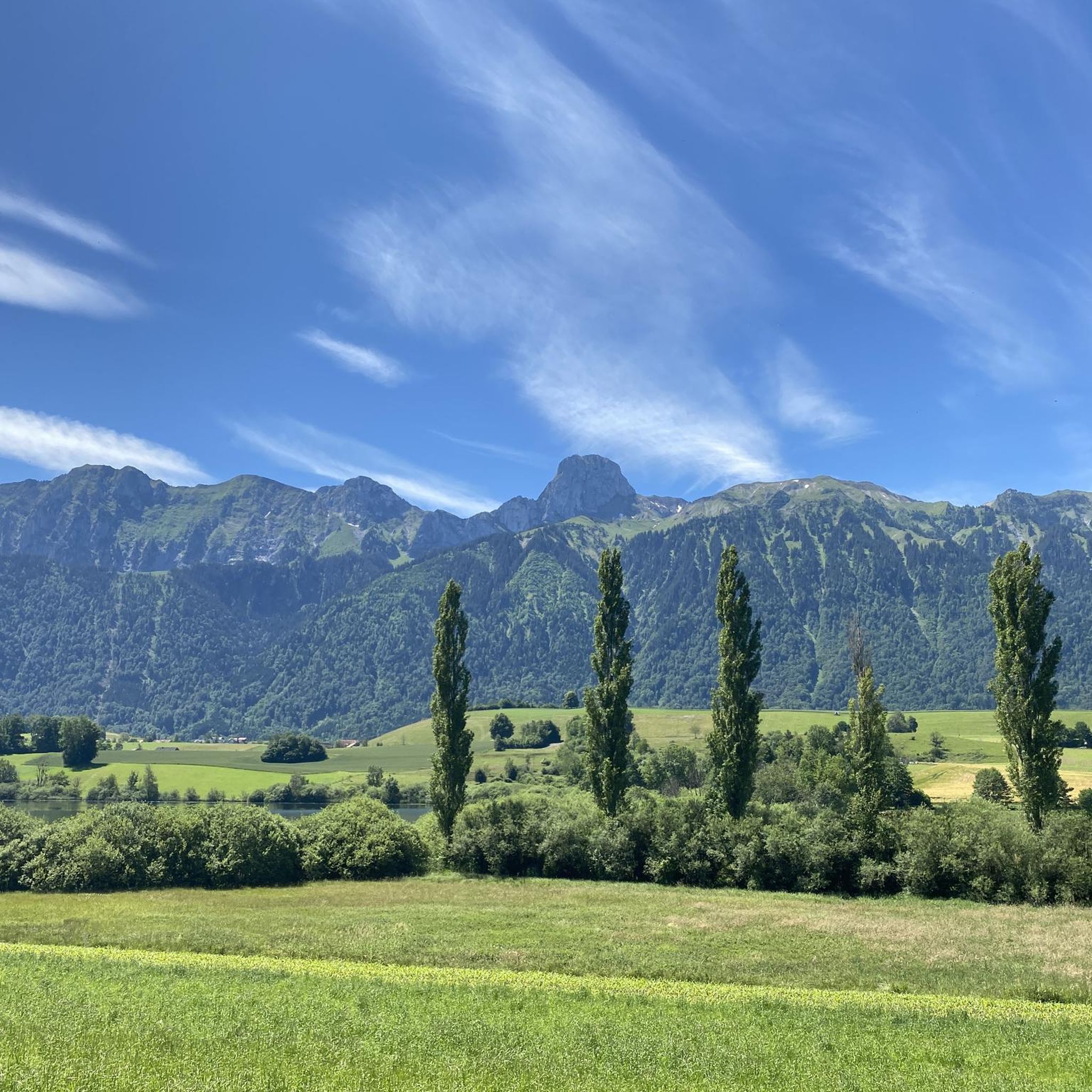
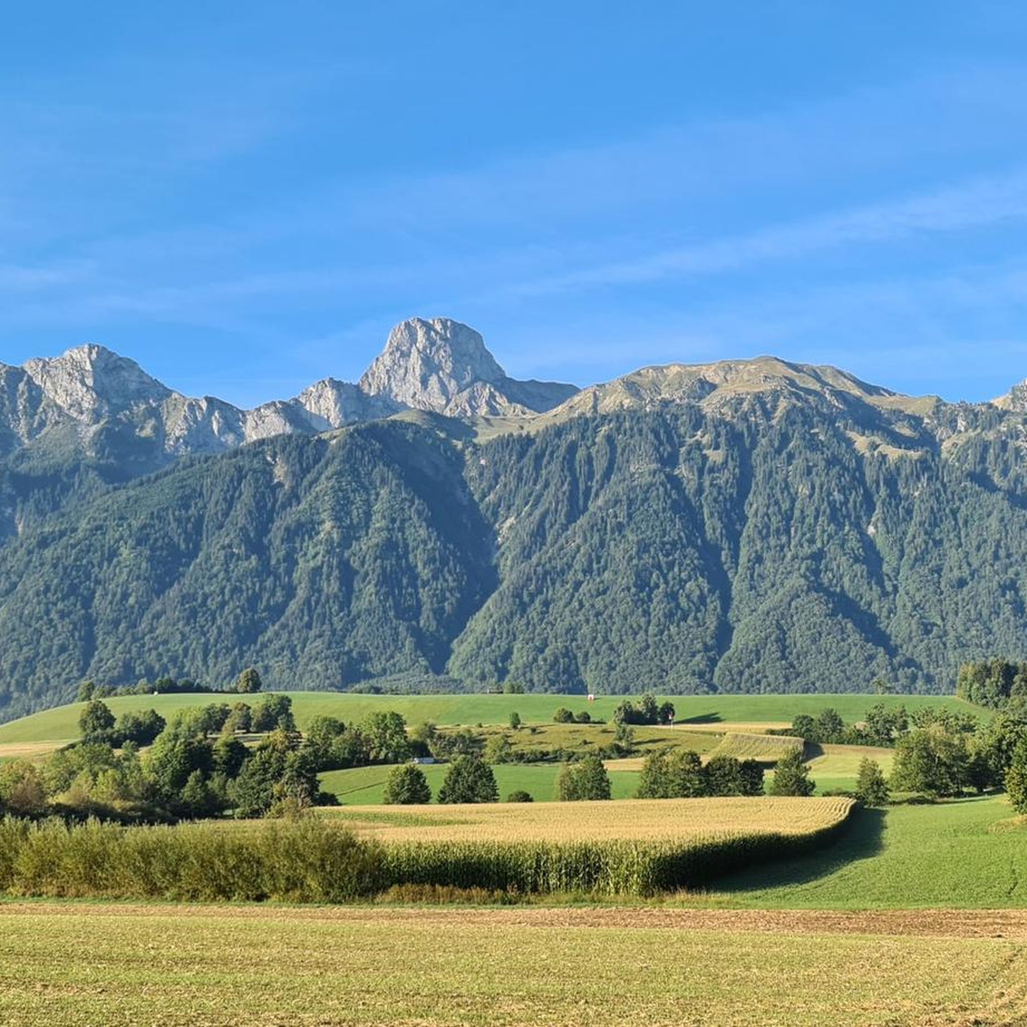
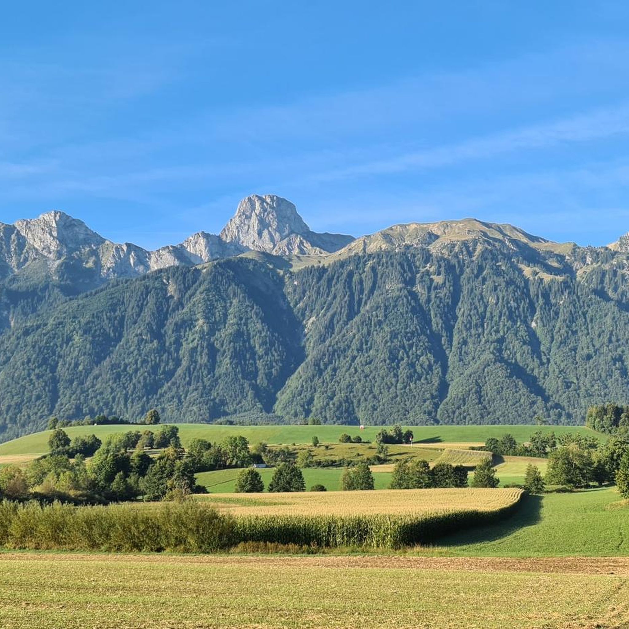
Hiking around Uebeschi offers diverse natural features within a moraine landscape west of Thun. The region is characterized by undulating terrain, drumlins, meadows, and small wooded areas, shaped during the Ice Age. Notable features include the Uebeschisee and views of the Bernese Pre-Alps and High Alps, including the Stockhorn chain. This varied topography provides a range of hiking experiences.
Best hiking trails around Uebeschi
- The most popular hiking route is Amsoldingen Church – Church of Amsoldingen loop from Uebeschi, a 5.1 miles (8.2 km) trail that takes 2 hours 12 minutes to complete. This moderate route traverses the gentle moraine landscape.
- Another top favourite among local hikers is Blumenstein Church – Fallbach Waterfall loop from Blumenstein, a moderate 6.2 miles (10.0 km) path. This trail features varied terrain with significant elevation gain, offering panoramic views.
- Local hikers also love the Möntschelealp – Fallbach Waterfall loop from Blumenstein, a 7.0 miles (11.3 km) trail leading through the diverse landscape with notable elevation, often completed in about 4 hours 23 minutes.
- Hiking around Uebeschi is defined by its moraine landscape, drumlins, and the Uebeschisee, with routes offering views of the Bernese Alps. The network provides options for various ability levels, from leisurely strolls to more challenging mountain paths.
- The routes in Uebeschi are highly rated by the komoot community with an average score of 4.6 stars from over 2,500 reviews. More than 20,000 hikers have used komoot to explore Uebeschi's varied terrain.
Last updated: June 27, 2026
4.1
(15)
61
hikers
8.21km
02:12
100m
100m
Moderate hike. Good fitness required. Easily-accessible paths. Suitable for all skill levels.
4.5
(10)
54
hikers
10.2km
03:40
550m
550m
Moderate hike. Good fitness required. Mostly accessible paths. Sure-footedness required.

Sign up for free
4.6
(5)
16
hikers
11.0km
02:58
150m
140m
Moderate hike. Good fitness required. Easily-accessible paths. Suitable for all skill levels.
5.0
(1)
15
hikers
2.61km
00:41
20m
20m
Easy hike. Great for any fitness level. Easily-accessible paths. Suitable for all skill levels.
2
hikers
7.24km
01:57
90m
90m
Easy hike. Great for any fitness level. Easily-accessible paths. Suitable for all skill levels.
Get access to more routes and recommendations from other explorers.
Sign up for free
Already have an account?
Our route recommendations are based on thousands of hikes, rides, and runs completed by other people on komoot.
Start today with a free account
Your next adventure awaits.
Login or Signup
Tips from the Community

From Amsoldingen you can see the Eiger, Mönch and Jungfrau.
0
0
Swimming in the Uebischisee is only allowed for the local population.
0
0

The Amsoldingen Basilica, attributed to Rudolf II of Burgundy and Berta of Alamannia, was built around 1000 on the site of an earlier 7th-century church and shows Lombard architectural influences. Originally lacking a tower and transept, it later gained a tower in place of the southern apse, and its collegiate chapter was dissolved in 1484. The church underwent Gothic modifications, became a Pietist center under Samuel Lutz (1726–1738), and was renovated in 1978–1980; its crypt includes Roman spolia, and its stained glass windows by Max Brunner depict the Trinity.
0
0

The Fallbach waterfall is a beautiful waterfall located at about 1,000 meters above sea level. It is easily accessible from Blumenstein.
1
0

This lake is also a little jewel against the backdrop of the Eiger, Mönch and Jungfrau, but also the majestic Stockhorn chain. On the lakeshore, the Grizzlybär restaurant with a small animal park and large playground for kids invites you to linger.
0
1
The entire church complex is a beautiful old building and it is worth spending time there. Concerts also take place regularly in the church. The whole area with the idyllic lake is simply a dream!
0
0
Swimming in the lake is reserved for the local population
0
0

Stop, marvel and take in the picture. The church and Amsoldingen Castle are embedded in the wintery and overwhelming backdrop of the Eiger Mönch and Jungfrau. Heart, what do you want more. ❤️
1
0
Frequently Asked Questions
How many hiking trails are there in Uebeschi?
Uebeschi offers a wide selection of hiking trails, with over 850 routes available. This includes a mix of easy, moderate, and more challenging options, ensuring there's something for every fitness level.
Are there easy hiking options suitable for beginners or families?
Yes, Uebeschi has numerous easy trails, with over 440 routes categorized as easy. A great option for a leisurely stroll is the Lake Dittlig – Dittligsee loop from Forst-Längenbühl, which is just 2.7 km long and features minimal elevation gain, making it ideal for families or those seeking a relaxed walk.
Can I find circular hiking routes in the Uebeschi area?
Many of the hiking routes in Uebeschi are circular, allowing you to start and end at the same point. For example, the Amsoldingen Church – Church of Amsoldingen loop from Uebeschi is a moderate 8.2 km trail that takes you through the gentle moraine landscape and back to your starting point.
What natural features or landmarks can I expect to see on a hike?
The Uebeschi region is characterized by its unique moraine landscape, drumlins, meadows, and small wooded areas. You'll encounter the picturesque Uebeschisee and can enjoy views of the Bernese Pre-Alps and High Alps. Some routes, like the Blumenstein Church – Fallbach Waterfall loop from Blumenstein, even lead past notable features such as the Fallbach Waterfall.
Are there any historical sites or castles to visit near the trails?
Yes, the area around Uebeschi is rich in historical sites. You can visit the historic Thun Old Town and Castle, which offers magnificent views. Other notable castles nearby include Schadau Castle and Oberhofen Castle, providing cultural highlights to complement your hiking experience.
What is the best time of year to go hiking in Uebeschi?
The Uebeschi region is beautiful year-round, but spring to autumn generally offers the most pleasant hiking conditions. During these seasons, the meadows are lush, and the views of the Alps are often clearest. Winter hikes are also possible, offering a different, serene experience of the snow-covered landscape.
Are the hiking trails in Uebeschi dog-friendly?
Many trails in the Uebeschi area are suitable for dogs, allowing you to explore the diverse landscape with your canine companion. It's always recommended to keep dogs on a leash, especially near livestock or in nature protection areas, and to carry water for them.
How can I get to the hiking trails in Uebeschi using public transport?
Uebeschi is accessible by public transport, primarily buses connecting from nearby towns like Thun. The Way of St. James (Jakobsweg) also passes through Uebeschi, following a well-signposted path from Amsoldingen, which can be reached by public transport. Check local bus schedules for the most current information on routes and timings to trailheads.
Is parking available near the trailheads in Uebeschi?
Parking is generally available at various starting points for hikes around Uebeschi, particularly in the villages or designated parking areas. Specific parking details can often be found on individual route descriptions or local tourism websites. It's advisable to check in advance for popular trailheads.
Are there options for longer or more challenging hikes?
Yes, for those seeking more challenging experiences, Uebeschi and its surroundings offer routes with significant elevation gain. The Möntschelealp – Fallbach Waterfall loop from Blumenstein is a moderate 11.3 km trail with considerable ascent, often taking over 4 hours to complete. Additionally, nearby summits like Gantrisch and Stockhorn offer more ambitious alpine tours.
What do other hikers say about the trails in Uebeschi?
The trails in Uebeschi are highly rated by the komoot community, with an average score of 4.6 stars from over 2,500 reviews. Hikers often praise the varied terrain, the beautiful views of the Bernese Alps, and the peaceful atmosphere of the moraine landscape.
Are there any specific viewpoints offering panoramic views of the Alps?
Absolutely. The region provides stunning views of the Bernese Pre-Alps and High Alps. From certain points, such as the western outskirts of Thun, you can enjoy expansive vistas of the Stockhorn range. The Leitere Pass, for instance, is known for its incomparably beautiful alpine panorama on clear days.
Can I find places to eat or drink near the hiking routes?
Yes, there are options for refreshments and meals in and around Uebeschi. The nearby charming town of Thun offers a variety of cafes and restaurants. Additionally, some hiking routes might pass by local eateries or alpine huts, especially on longer trails, where you can stop for a break.
Most popular routes around Uebeschi
Most popular attractions around Uebeschi

Get inspired with the komoot mobile app


Explore more
Browse the best Hikes in other regions.
