The best walks and hikes around Sessa Aurunca
4.1
(127)
446
hikers
62
hikes
Hiking around Sessa Aurunca offers diverse landscapes, from volcanic terrain to ancient chestnut forests and hills. Situated on the slopes of the Roccamonfina volcano, the region provides a variety of hiking experiences. The Sessa Aurunca hiking terrain includes pathways through regional nature parks, past waterfalls, and along historical routes. This area combines natural exploration with cultural discovery, featuring ancient Roman connections and charming hamlets.
Best hiking trails around Sessa Aurunca
- The most popular hiking route is Roccamonfina Loop Trail,…
Last updated: July 7, 2026
2
hikers
9.46km
02:42
220m
220m
Moderate hike. Good fitness required. Easily-accessible paths. Suitable for all skill levels.
2.0
(1)
1
hikers
3.66km
00:56
10m
10m
Easy hike. Great for any fitness level. Easily-accessible paths. Suitable for all skill levels.

Sign up for free
1
hikers
15.5km
04:12
220m
220m
Moderate hike. Good fitness required. Easily-accessible paths. Suitable for all skill levels.
5.0
(3)
21
hikers
Moderate hike. Good fitness required. Easily-accessible paths. Suitable for all skill levels.
5.0
(2)
8
hikers
7.06km
02:12
290m
290m
Moderate hike. Good fitness required. Easily-accessible paths. Suitable for all skill levels.
Get access to more routes and recommendations from other explorers.
Sign up for free
Already have an account?
Our route recommendations are based on thousands of hikes, rides, and runs completed by other people on komoot.
Start today with a free account
Your next adventure awaits.
Login or Signup
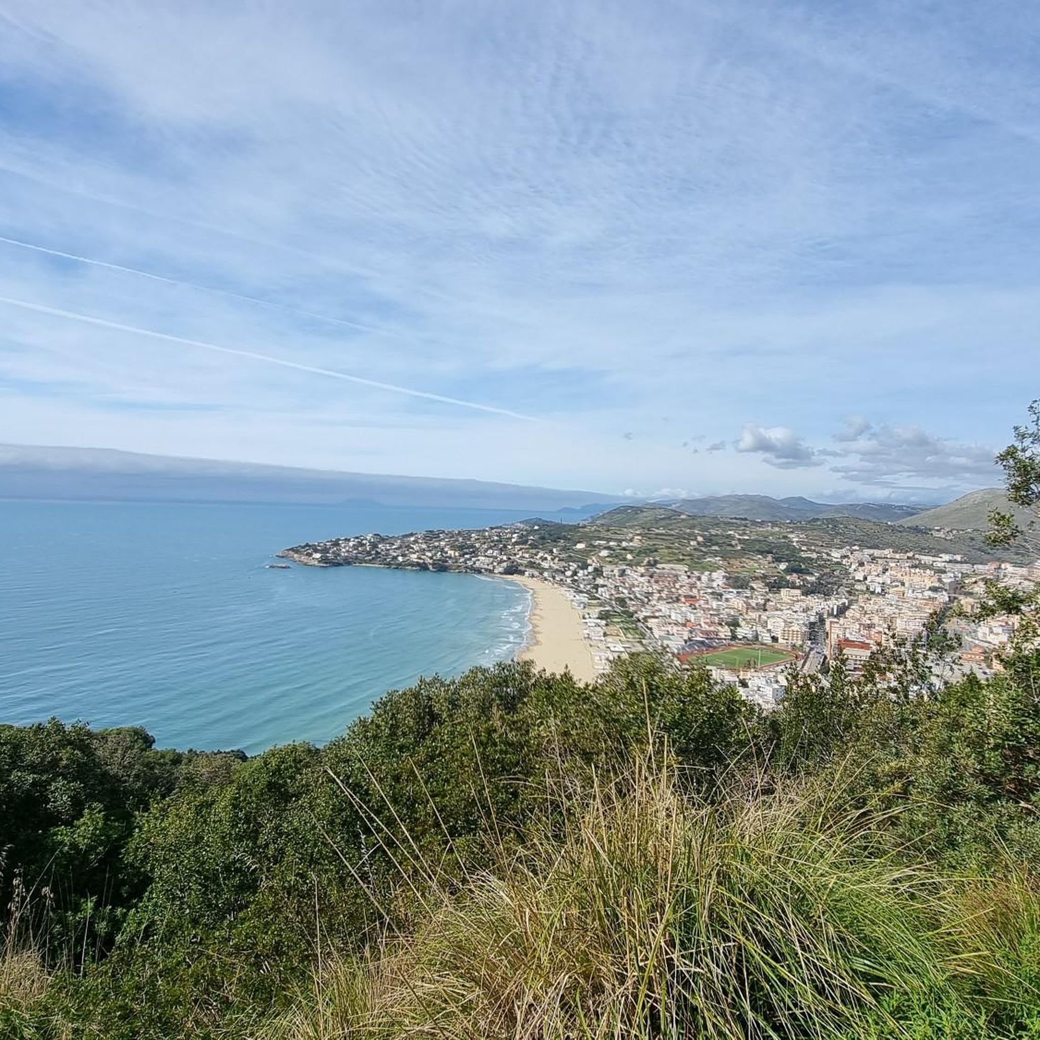
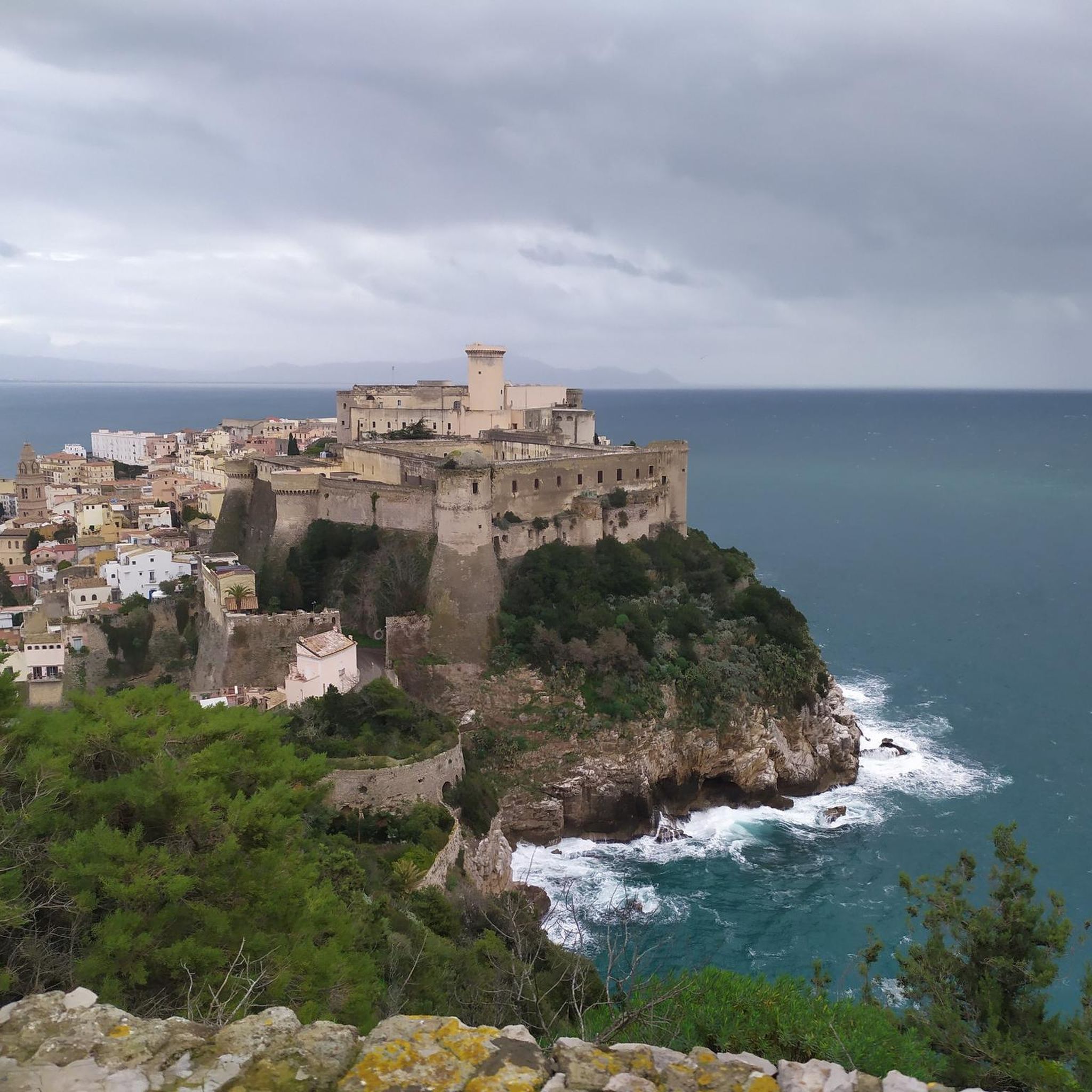
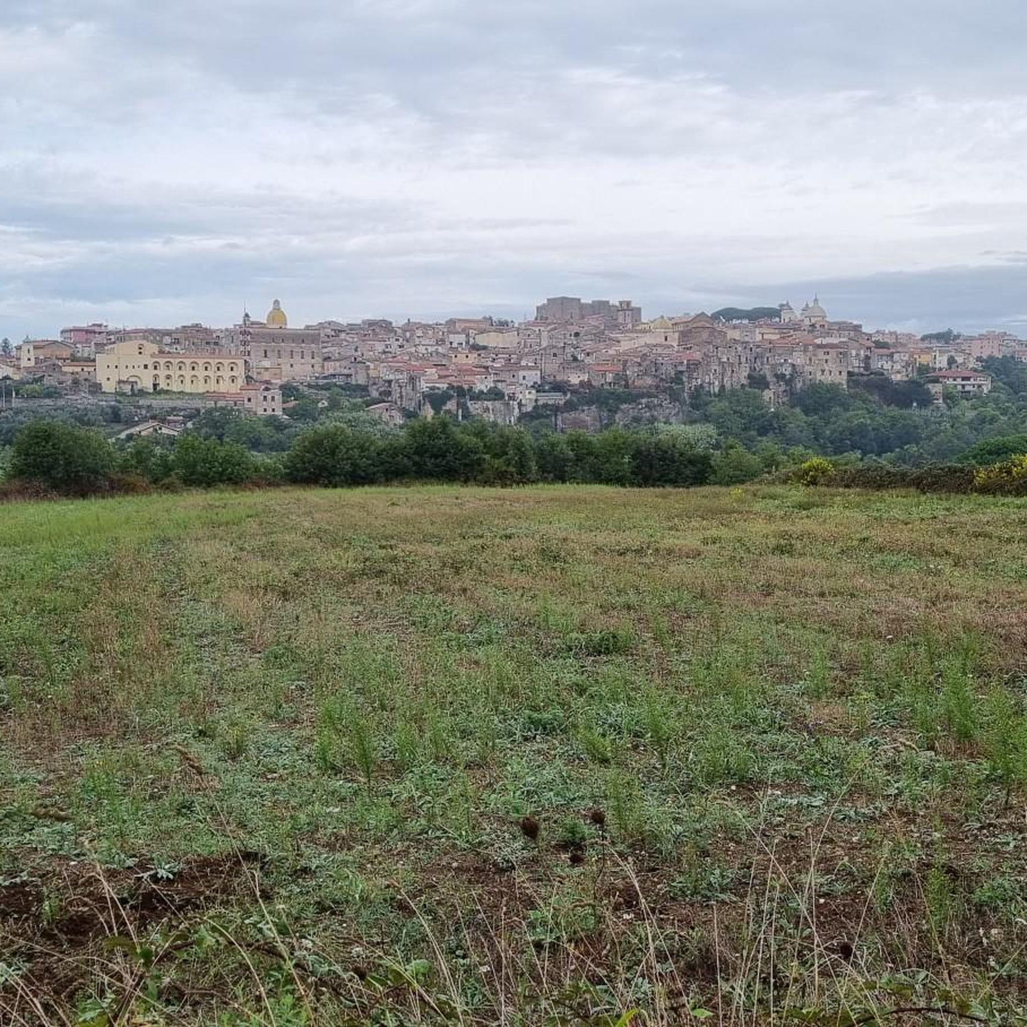
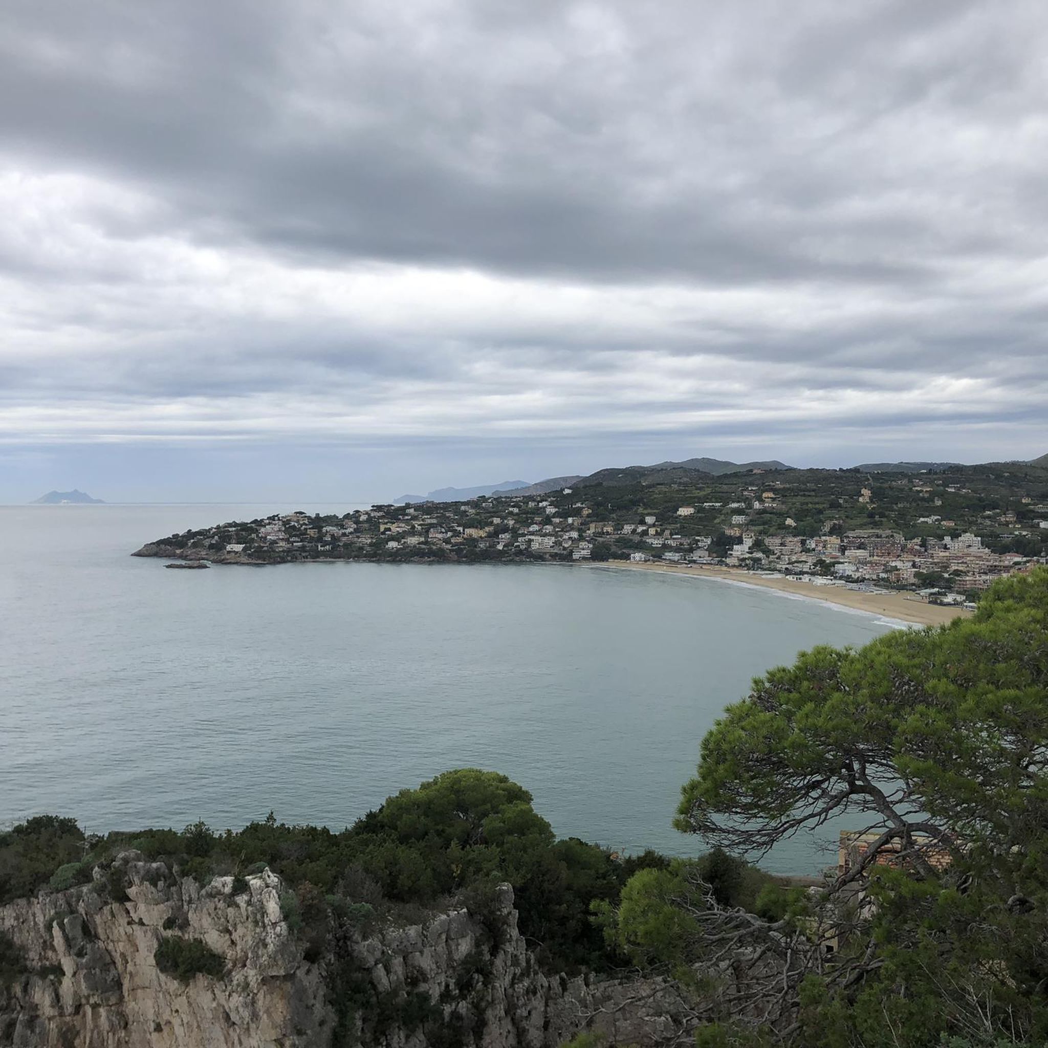
Tips from the Community


Dam that allows you to pass from one bank to the other
0
0

The climb to the Castle is quite steep but not very long, the last stretch is not easy to ride on a mountain bike. But the effort and the fatigue are rewarded by an exceptional view. To do ……
0
0

An important and flourishing center needed a sufficient water supply, which was ensured by the aqueduct. A surprising amount of it has been preserved. https://www.viviminturnoscauri.it/luoghi/acquedotto-vespasiano/
0
0
The Allied troops had advanced from the south to push back the German Wehrmacht. The advance came to a halt at the Garigliano River, and a costly battle raged in January 1944. Over 2,000 fallen soldiers were buried here. It is a very impressive complex! https://www.liberationroute.com/pois/1511/minturno-war-cemetry
0
0
Unfortunately the bridge is closed, so pedestrians have to cross the car bridge.
0
0

Rural church dedicated to the Madonna della Neve.
1
0
The Madonna venerated here, also known as Madonna of the Flood, according to tradition helped the inhabitants in a period of extreme drought.
1
0
Frequently Asked Questions
How many hiking trails are available in Sessa Aurunca?
Sessa Aurunca offers a diverse network of over 50 hiking trails. These routes cater to various skill levels, including easy, moderate, and difficult options, allowing everyone to explore the region's unique landscapes.
Are there any easy hiking trails suitable for beginners or families?
Yes, Sessa Aurunca has 16 easy hiking trails. A great option for a leisurely walk is the Minturno and the bridge over the Garigliano – loop tour, which is just over 3.6 km long and features minimal elevation changes. The region also offers routes like the Lago di Falciano Loop Trail, perfect for a relaxed outing.
Where can I find trails with waterfalls in Sessa Aurunca?
You can discover beautiful waterfalls in the Sessa Aurunca region. A notable route is the From Roccamonfina to the Conca della Campania Waterfall – ring tour, which leads directly to the Conca della Campania Waterfall. This moderate trail offers a rewarding natural spectacle.
Are there any circular hiking routes in the area?
Yes, Sessa Aurunca features several circular routes. The Roccamonfina Loop Trail is a challenging 17.1 km option traversing ancient chestnut forests. For a moderate experience, consider the From Roccamonfina to the Conca della Campania Waterfall – ring tour. There's also the easy Lago di Falciano Loop Trail mentioned in regional research.
What kind of terrain can I expect on hikes around Sessa Aurunca?
The hiking terrain in Sessa Aurunca is quite varied due to its location on the slopes of the Roccamonfina volcano. You can expect pathways through ancient chestnut forests, volcanic landscapes, and rolling hills. Some trails also incorporate historical sites and ancient Roman pathways, offering a mix of natural and cultural exploration.
Are there any challenging hikes for experienced trekkers?
Absolutely. For experienced hikers seeking a challenge, the Ascent to Monte Massiccio from Falciano del Massico is a difficult 15.8 km trail with significant elevation gain. The Roccamonfina Loop Trail is another difficult option, covering 17.1 km through volcanic landscapes.
What historical sites or landmarks can I see while hiking in Sessa Aurunca?
Many trails in Sessa Aurunca blend natural beauty with historical discovery. Routes like the Cescheto, San Carlo, and Sipicciano Trail lead through historical sites and charming hamlets. You can also find ancient Roman connections, including traces of the Appian Way, and explore sites like the Roman Port of Gianola or the Ruins of the Naval Observatory on Monte Cicoli.
What do other hikers enjoy most about hiking in Sessa Aurunca?
The hiking routes in Sessa Aurunca are highly rated by the komoot community, with an average score of 4.2 stars from over 100 reviews. Hikers often praise the diverse landscapes, from volcanic terrain and ancient chestnut forests to the historical elements integrated into many trails. The variety of difficulty levels also makes it appealing to a wide range of outdoor enthusiasts.
Are there any viewpoints or scenic spots along the trails?
Yes, the volcanic origins and mountainous terrain of Sessa Aurunca provide numerous opportunities for scenic views. Trails traversing the Roccamonfina area often offer panoramic vistas. You can also find specific viewpoints like the Great view of Scauri, Formia, Gaeta and the mountains, which provides expansive outlooks over the surrounding landscape.
Can I hike near any lakes in Sessa Aurunca?
Yes, the region offers hiking opportunities near lakes. The Lake Falciano area provides a more leisurely option, with a loop trail around the lake that is suitable for an easy and relaxing walk amidst nature.
What is the best time of year to go hiking in Sessa Aurunca?
While specific seasonal data isn't provided, generally, spring and autumn offer the most pleasant hiking conditions in this region of Italy. Temperatures are milder, and the natural scenery is vibrant, with blooming flowers in spring and colorful foliage in autumn. Summer can be hot, especially at lower elevations, while winter might bring cooler temperatures and potentially some rain.
Are there any trails that follow ancient pilgrimage routes?
Yes, Sessa Aurunca is a significant point along the Via Francigena Sud, an extension of the historic pilgrimage route. Specific stages, such as "VFS 13 Sessa Aurunca - Teano," highlight this historical connection, allowing hikers to walk in the footsteps of ancient pilgrims.
Most popular attractions around Sessa Aurunca

Get inspired with the komoot mobile app


Explore more
Browse the best Hikes in other regions.
