The best road cycling routes around Borzonasca
4.4
(65)
1,547
riders
22
rides
Road cycling routes around Borzonasca are situated within the Liguria region of northwestern Italy, characterized by the Apennine Mountains and the Aveto Natural Regional Park. The terrain features a blend of mountainous landscapes and river valleys, with elevations ranging from approximately 100 meters to 1700 meters above sea level. This area provides diverse environments for road cycling, from Mediterranean conditions to more alpine-like settings. The region's topography includes significant climbs and descents, offering challenging routes for cyclists.
Best road cycling…
Last updated: August 25, 2026
4.5
(26)
440
riders
92.6km
04:38
1,440m
1,440m
Hard road ride. Very good fitness required. Mostly well-paved surfaces and easy to ride.
4.3
(13)
242
riders
81.6km
04:28
1,620m
1,620m
Hard road ride. Very good fitness required. Mostly well-paved surfaces and easy to ride.

Sign up for free
87
riders
91.4km
05:10
2,070m
2,070m
Hard road ride. Very good fitness required. Mostly well-paved surfaces and easy to ride.
4.7
(3)
83
riders
63.5km
03:39
1,470m
1,470m
Hard road ride. Very good fitness required. Mostly well-paved surfaces and easy to ride.
4.0
(1)
40
riders
60.5km
03:36
1,310m
1,310m
Hard road ride. Very good fitness required. Some segments of this route may be unpaved and difficult to ride.
Get access to more routes and recommendations from other explorers.
Sign up for free
Already have an account?
Our route recommendations are based on thousands of hikes, rides, and runs completed by other people on komoot.
Start today with a free account
Your next adventure awaits.
Login or Signup
Popular around Borzonasca

Alta Via Stage Race – Only the brave
Hike from Milan to the sea – Path of the Celts and Ligurians
MTB between sky, land and sea – Italy’s Alta Via dei Monti Liguri
Hiking around Borzonasca
MTB Trails around Borzonasca
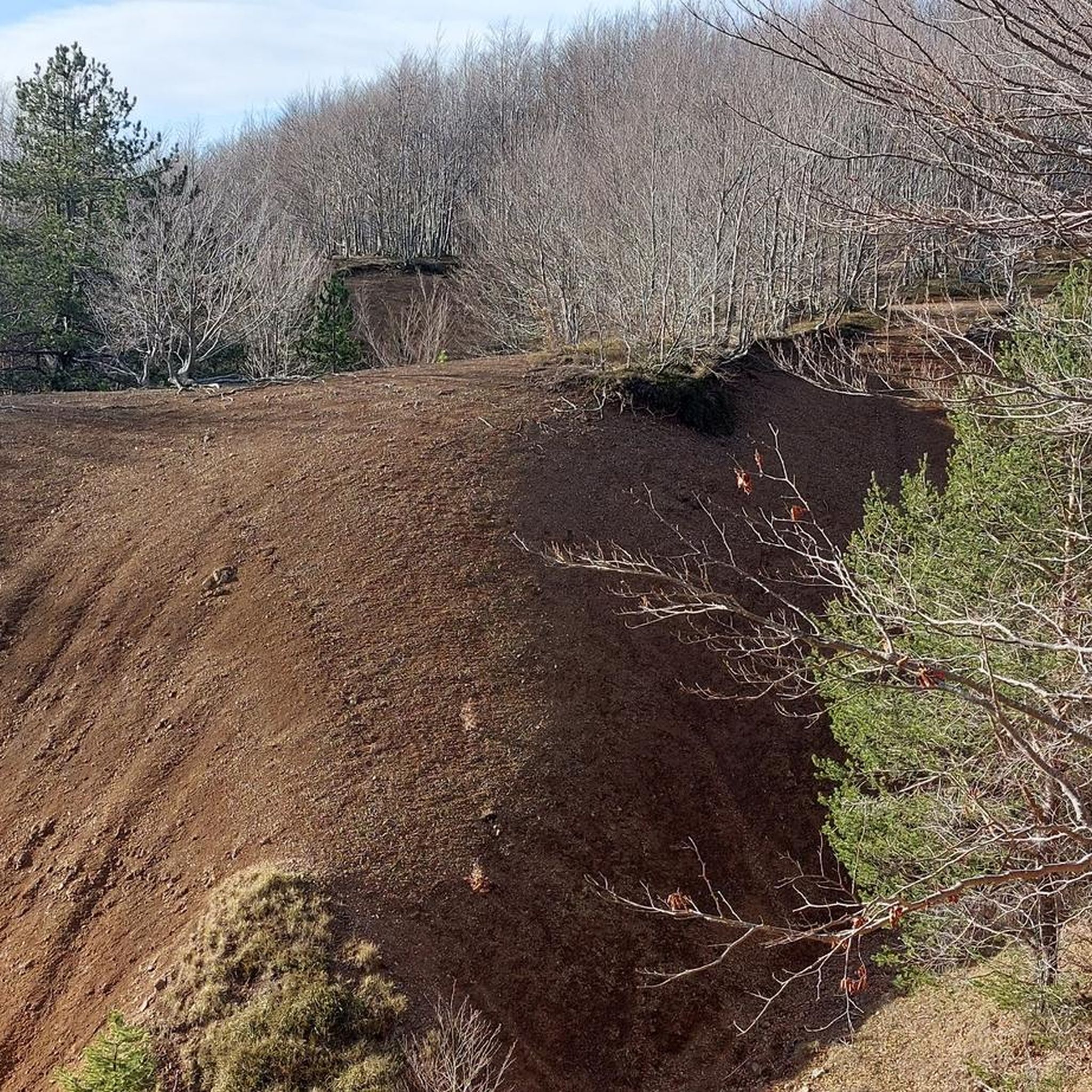
Cycling around Borzonasca
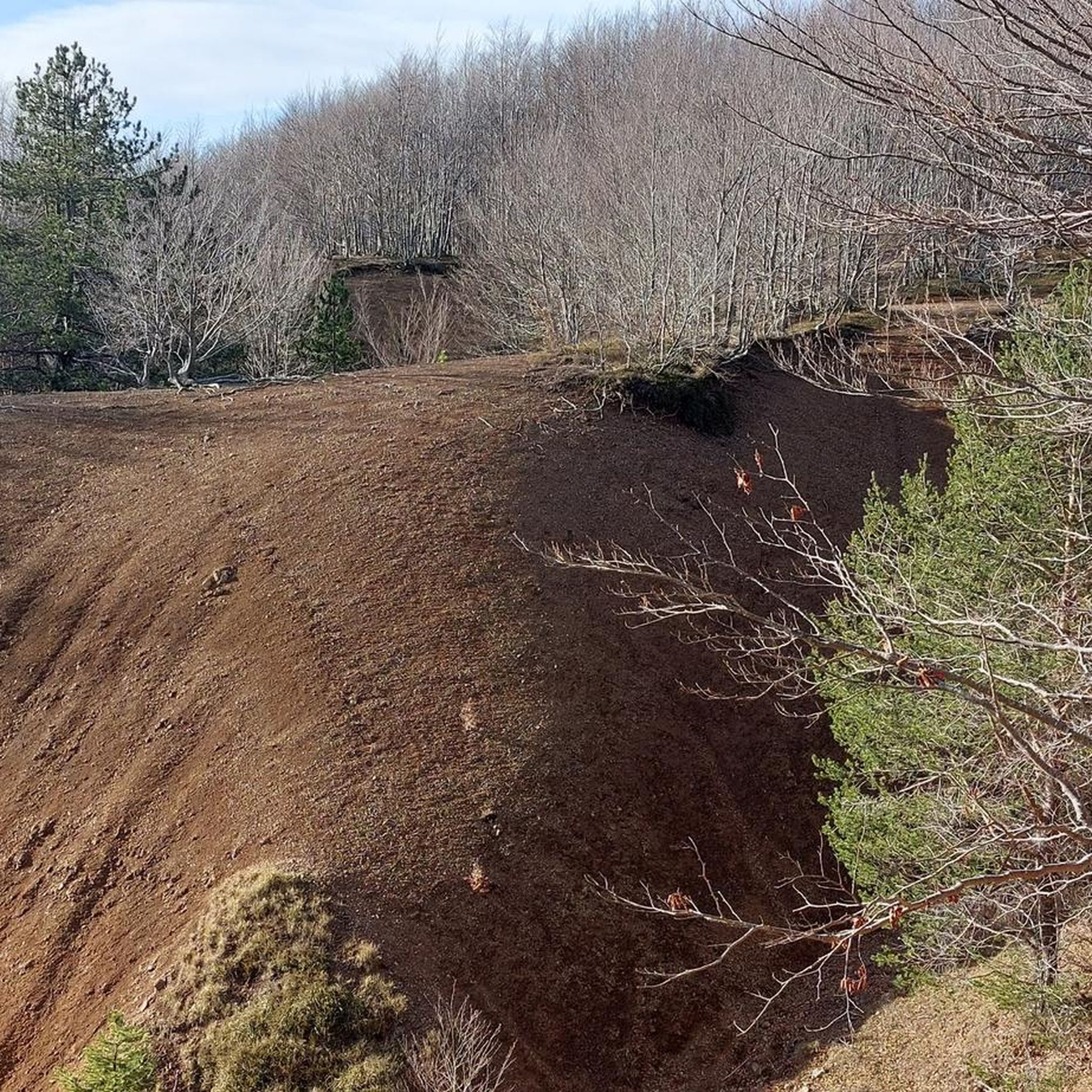
Running Trails around Borzonasca

Gravel biking around Borzonasca
Other adventures around Borzonasca


Tips from the Community

Fresh and comfortable, on the road...
0
0
Pass of the Ligurian Apennines located at an altitude of 1,452 m, it is reachable by car and is a crossroads where various hiking trails branch off.
0
0


From here you can get everywhere!
0
0
..an infinite pleasure to quench your thirst here..
0
0

This must be the cliché image of the Italian Riviera. It has everything!
0
0

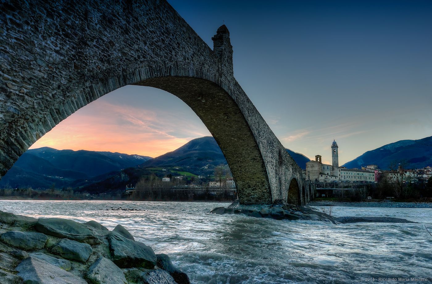
Situated at 717 meters above sea level, Santa Maria del Taro is a hamlet in the municipality of Tornolo (province of Parma), nestled in the heart of the Northern Apennines, near the border between Emilia and Liguria. Since the early Middle Ages, its strategic position along the ancient ridge road connecting the sea to the Po Valley has made it a transit and trade center, as well as a military and commercial control point. The name itself recalls the religious devotion that has permeated the town for centuries: the church-sanctuary dedicated to the Nativity of Mary, rebuilt in neoclassical style between 1807 and 1834, stands on an older structure and has been the spiritual center of the upper Taro Valley for centuries. The building, with its broad façade and stone bell tower, preserves a deep devotional tradition that is still alive. A short walk from the center is the Ponte dei Priori, a medieval humpbacked stone structure that once served as the only permanent access to the valley and symbolically marked the passage between the lands of the Malaspina and Fieschi families, two powerful feudal families of the Apennines. Over the centuries, Santa Maria del Taro has maintained an identity suspended between Emilian and Ligurian culture, evident in the features of its rural architecture, local dialects, and popular customs.
0
0
Frequently Asked Questions
How many road cycling routes are available around Borzonasca?
Borzonasca offers a wide selection of road cycling routes, with over 25 distinct tours available. These routes cater to various fitness levels, ranging from moderate to difficult, ensuring a challenging and rewarding experience for most cyclists.
What is the general difficulty level of road cycling in Borzonasca?
Road cycling in Borzonasca is generally considered challenging, with many routes described as 'hard bike rides' requiring 'very good fitness'. The region's mountainous terrain, part of the Apennine Mountains, features significant elevation gains. For example, routes often involve over 1,500 meters of climbing, pushing cyclists to their limits.
Are there any easier road cycling options for beginners or families in Borzonasca?
While many routes are challenging, Borzonasca does offer a few easier road cycling options. There are at least 2 routes classified as 'easy' and 10 as 'moderate', providing less strenuous alternatives for beginners or those looking for a more relaxed ride. These routes typically feature less intense climbs and shorter distances.
What kind of natural attractions can I expect to see along the road cycling routes?
The road cycling routes around Borzonasca pass through the stunning Aveto Natural Regional Park, offering lush greenery and diverse landscapes. You can expect views of the Ligurian Apennines, river valleys, and a mix of Mediterranean and almost alpine conditions. Notable peaks like Mount Penna and Mount Aiona are prominent features in the area. While cycling, you might also encounter Margherita Mountain Hut or the Monte Bue summit.
Are there any historical or cultural landmarks to explore near the cycling routes?
Yes, Borzonasca has a rich history. You can explore ancient streets, churches, and stone buildings. The Abbey of Borzone, a 7th-century Benedictine monastery with Romanesque architecture, is a significant cultural site. Nearby, the enigmatic 'Volto Megalitico di Borzone,' a massive human face carved into a rock, adds a touch of mystery to the historical landscape. You might also spot the Statue of the Madonna on Monte Penna or the Statue of Our Lady of Guadalupe on Monte Maggiorasca.
What is the best time of year to go road cycling in Borzonasca?
The diverse elevation of Borzonasca, ranging from 100 meters to 1700 meters, means conditions can vary. Generally, spring and autumn offer pleasant temperatures for cycling. Summer can be warm, especially at lower elevations, but higher mountain passes provide cooler air. Winter can bring alpine conditions to the higher peaks, making some routes less accessible.
Are there many loop routes available for road cyclists?
Yes, Borzonasca is well-suited for loop routes, allowing cyclists to start and end in the same location. Many popular routes are designed as loops, such as the challenging Passo del Biscia – Bocco Pass loop from Parco Regionale dell'Aveto or the Bocco Pass – Passo di Cento Croci (1,055 m) loop from Prati di Mezzanego, which takes you through various mountain passes.
What do other road cyclists enjoy most about cycling in Borzonasca?
The area is highly rated by the komoot community, with an average score of 4.4 stars from over 90 reviews. Cyclists frequently praise the challenging climbs, the breathtaking views of the Ligurian Apennines, and the diverse terrain that includes both paved roads and occasional unpaved segments. The sense of accomplishment after tackling significant elevation gains is a common highlight.
Is public transport available to reach the cycling routes in Borzonasca?
Borzonasca is situated in the Metropolitan City of Genoa. While specific public transport options directly to trailheads may vary, regional bus services connect Borzonasca to larger towns. It's advisable to check local bus schedules for connections from major transport hubs to Borzonasca, especially if you plan to start a route without a car.
Where can I find parking for my car when cycling in Borzonasca?
Parking availability in Borzonasca typically includes designated areas within the town or near popular starting points for routes. Given the region's focus on outdoor activities, you can often find parking in or around the main village centers or near trail access points. It's recommended to look for public parking lots or roadside parking in the vicinity of your chosen route's starting point.
Are there any specific mountain passes that are popular among road cyclists in Borzonasca?
Yes, Borzonasca is known for its challenging mountain passes. Prominent passes like Bocco Pass and Passo del Ghiffi are frequently featured in many routes. The Bocco Pass – Wouter Weylandt Memorial loop from Monte Zatta di Levante is a popular route that includes climbing over Bocco Pass, offering rewarding views.
Most popular attractions around Borzonasca

Get inspired with the komoot mobile app


Explore more
Browse the best Road cycling routes in other regions.
