The best walks and hikes around Twieflingen
4.6
(3490)
11,593
hikers
637
hikes
Hiking around Twieflingen offers access to the diverse landscapes of the Elm-Lappwald Nature Park. The region features dense forests, gentle hills, and picturesque valleys, providing varied terrain for outdoor activities. Hikers can explore areas with unique sandstone cliffs and extensive woodlands, alongside smaller bodies of water. This natural environment supports a wide network of hiking trails suitable for different experience levels.
Best hiking trails around Twieflingen
- The most popular hiking route is Shelter at Bödner Teich – Plan of Warberg…
Last updated: October 13, 2026
4.7
(58)
189
hikers
15.0km
04:07
250m
250m
Moderate hike. Good fitness required. Easily-accessible paths. Suitable for all skill levels.
4.8
(64)
196
hikers
6.85km
01:53
110m
110m
Easy hike. Great for any fitness level. Easily-accessible paths. Suitable for all skill levels.

5.0
(8)
46
hikers
Easy hike. Great for any fitness level. Easily-accessible paths. Suitable for all skill levels.
4.8
(10)
41
hikers
Easy hike. Great for any fitness level. Easily-accessible paths. Suitable for all skill levels.
4.8
(11)
37
hikers
Easy hike. Great for any fitness level. Easily-accessible paths. Suitable for all skill levels.
Get access to more routes and recommendations from other explorers.
Already have an account?
Our route recommendations are based on thousands of hikes, rides, and runs completed by other people on komoot.
Start today with a free account
Your next adventure awaits.
Tips from the Community

Nice resting place with a good view
0
0

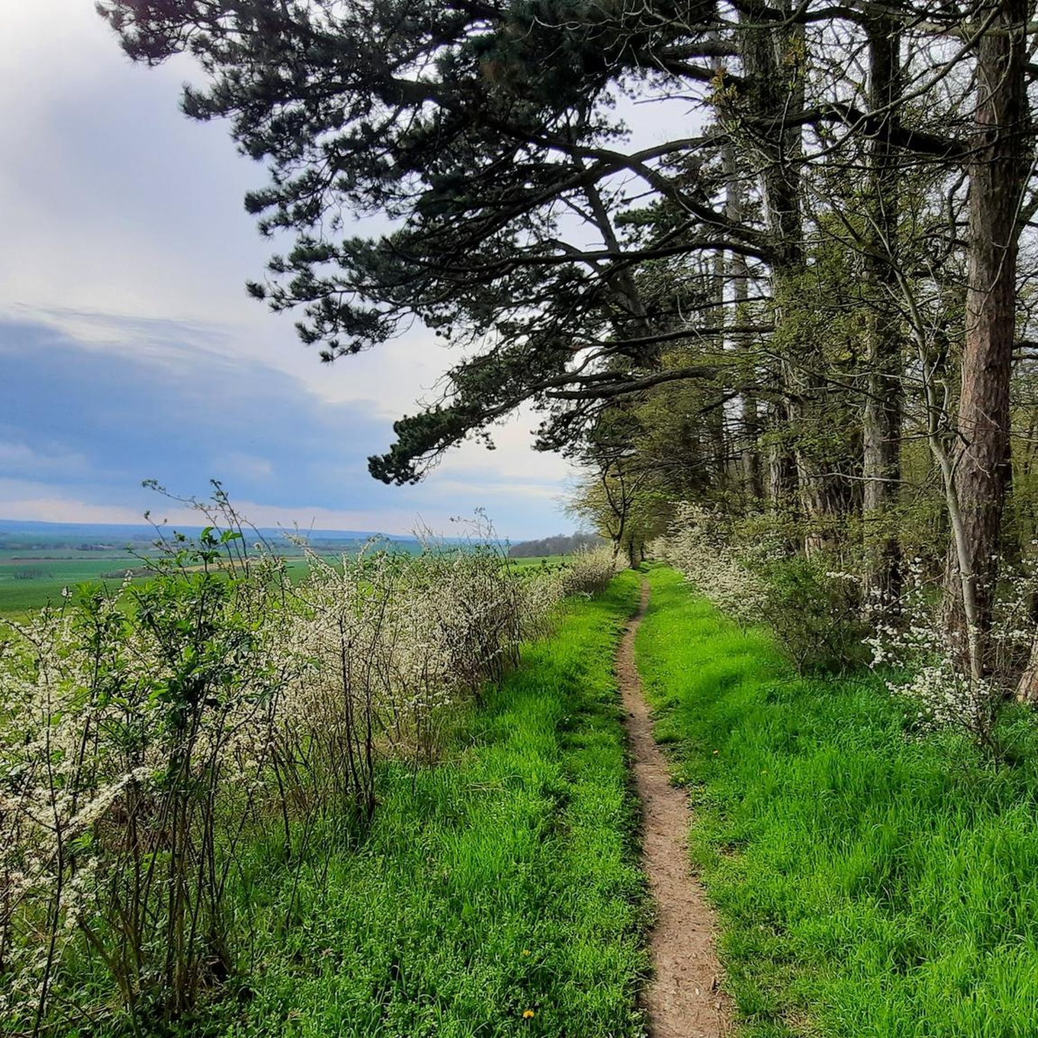
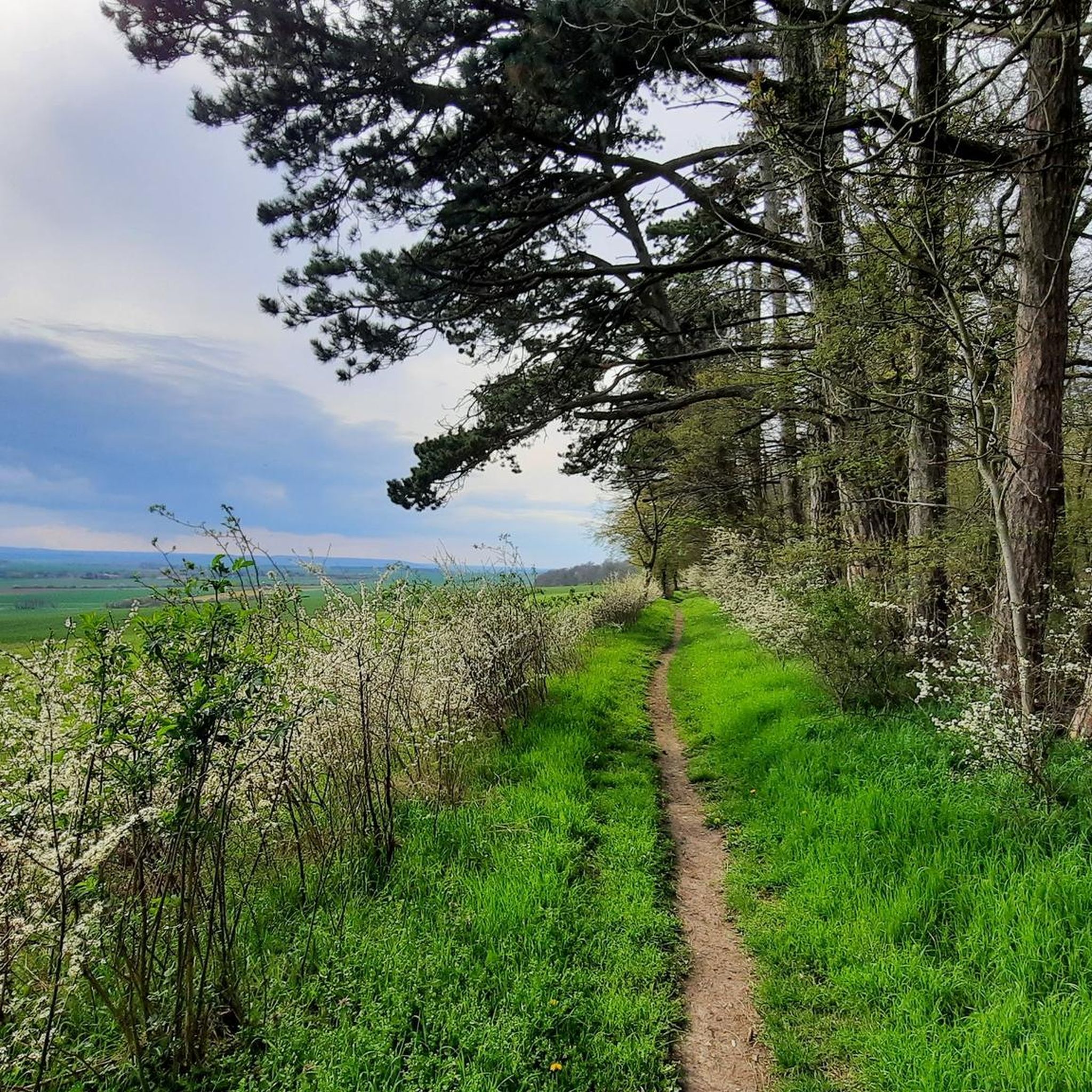
With clear visibility, you can enjoy the gentle hills of the Huy and the striking heights of the Harz at the same time – especially beautiful at sunrise or sunset.
0
0
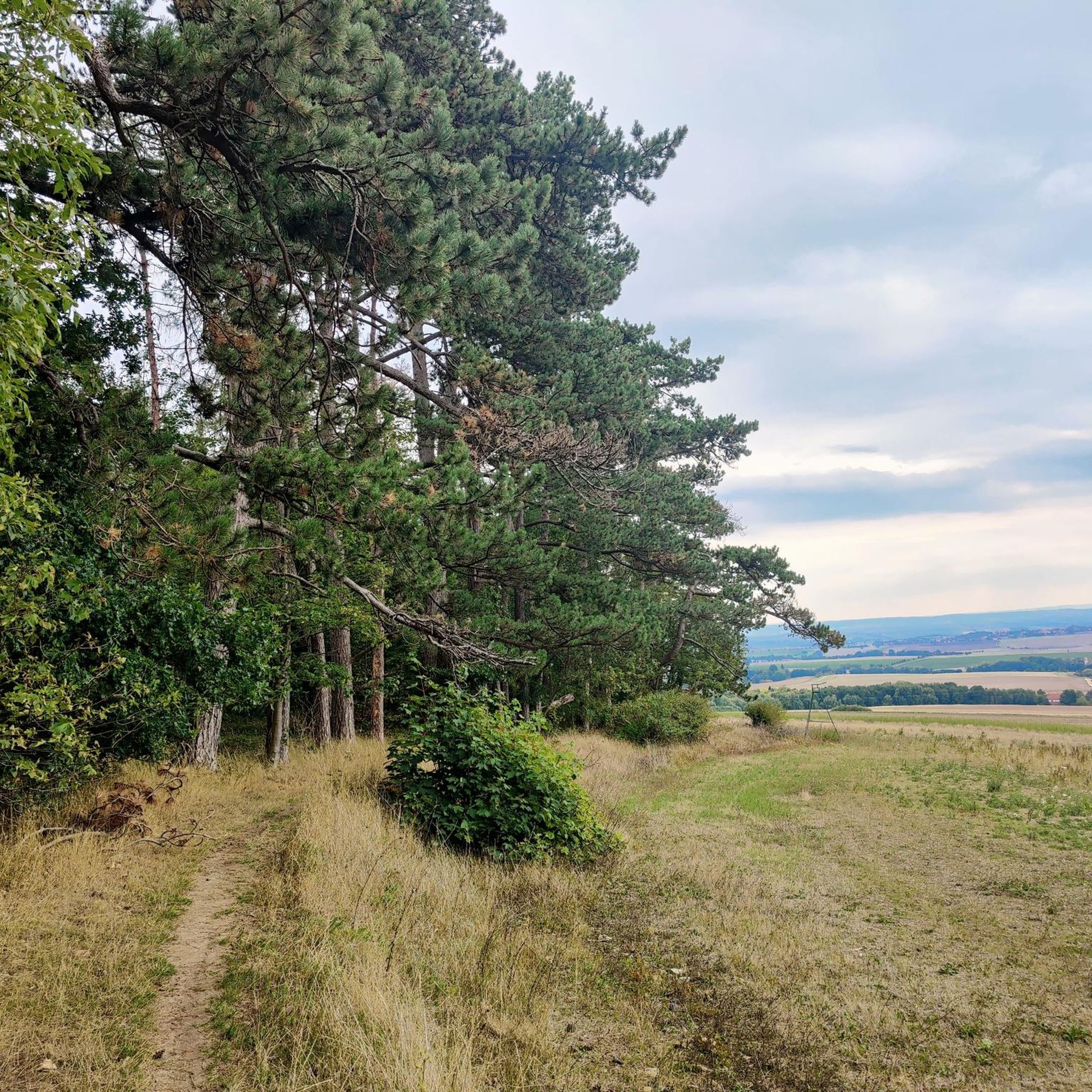
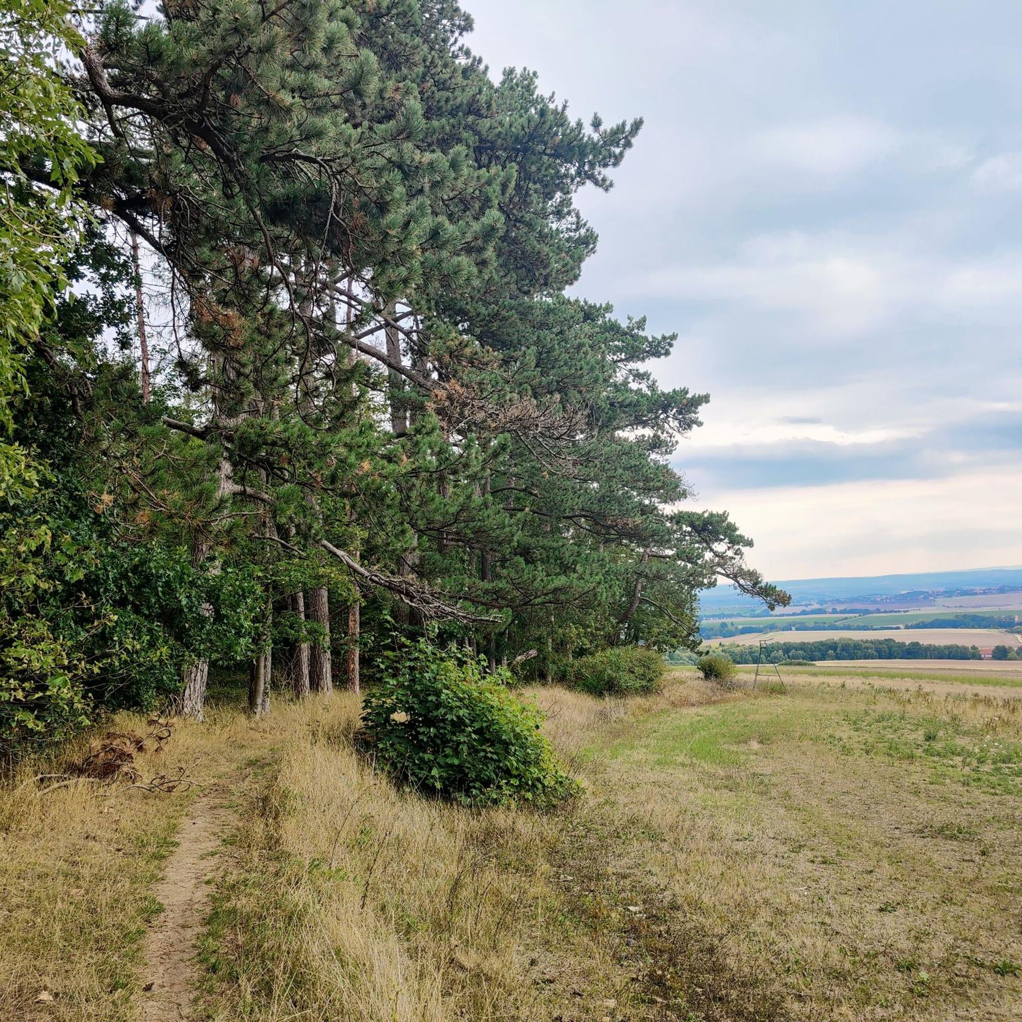
Often, in the late afternoon or at sunset, you have a wide view from there over the fields of the northern Harz foothills – with the wooded Huy behind you and the "flat" hinterland in front. If there is a bit of wind, this transition from forest edge, hill, and open landscape appears particularly calm and vast.
0
0

Finally, a shelter.
0
0

The view is really great when the weather is good.
0
0

A truly amazing highlight. A quick photo stop is worth it.
0
1
A truly amazing highlight. A quick photo stop is worth it.
0
0
A truly amazing highlight. A quick photo stop is worth it.
1
0
Frequently Asked Questions
How many hiking trails are available around Twieflingen?
The Twieflingen area, situated within the Elm-Lappwald Nature Park, offers an extensive network of trails. There are over 650 hiking routes available, catering to various preferences and fitness levels.
What kind of terrain can I expect when hiking near Twieflingen?
Hikers in the Twieflingen region will find a diverse landscape. The Elm-Lappwald Nature Park features dense forests, gentle hills, and picturesque valleys. You can also encounter unique sandstone cliffs in the Elm Hills and explore protected wetlands and heathland alongside spring-fed rivers and small lakes.
Are there any historical sites or landmarks to see on the trails?
Yes, several historical sites are integrated into the hiking experience. For instance, the Hockersteine Burial Mounds – Elmsburg Church Ruins loop from Twieflingen includes the historic Elmsburg Church Ruins. Other notable sites nearby include the Hötensleben Border Memorial, which preserves a section of the former inner-German border.
Are there family-friendly hiking options in the Twieflingen area?
Absolutely. The region offers many easy routes suitable for families. The Karl-May Valley Shelter and Stamp Station 5 is described as easy to explore and family-friendly, providing a pleasant adventure. Many trails within the Elm-Lappwald Nature Park are designed to be accessible for various ages.
Can I bring my dog on hikes around Twieflingen?
The Elm-Lappwald Nature Park generally welcomes dogs, but it's always recommended to keep them on a leash, especially in nature protection areas and near wildlife. Most trails are suitable for dogs, allowing them to enjoy the diverse natural environment alongside their owners.
Are there circular hiking routes available?
Yes, many of the hiking routes around Twieflingen are circular, allowing you to start and end at the same point. Examples include the Hockersteine Burial Mounds – Elmsburg Church Ruins loop from Twieflingen and the Shelter at Bödner Teich – Bench with a view loop from Voigtsdahlum.
What natural features might I encounter while hiking?
You'll discover a rich variety of natural features. The Elm Hills are known for their unique sandstone cliffs, while the Lappwald area features extensive forests and small bodies of water. The nature park also includes protected wetlands, heathland, and spring-fed rivers, offering diverse scenic experiences.
What do other hikers appreciate most about the trails here?
The trails around Twieflingen are highly rated by the komoot community, with an average score of 4.7 stars from over 3000 reviews. Hikers often praise the diverse landscapes, including dense forests and gentle hills, and the well-maintained network of trails that cater to all fitness levels.
When is the best time of year to go hiking in Twieflingen?
The Elm-Lappwald Nature Park offers beautiful hiking opportunities throughout the year. Spring brings blooming flora, summer provides lush green forests, autumn showcases vibrant fall colors, and even winter can offer serene, snow-covered landscapes. The best time depends on your preference for weather and scenery.
Are there any easy hikes suitable for beginners or casual walkers?
Yes, there are plenty of easy routes. For example, the Hockersteine Burial Mounds – Elmsburg Church Ruins loop from Twieflingen is an easy 4.3-mile path. Many of the 400+ easy trails in the area are perfect for a relaxed walk.
Are there any specific points of interest or shelters along the trails?
Yes, you can find various points of interest. The Karl-May Valley Shelter and Stamp Station 5 is a popular spot. Additionally, the Tetzelstein Historic Forest Inn serves as a starting point for tours and offers refreshment options.
Where can I find more information about the Elm-Lappwald Nature Park?
For more details about the Elm-Lappwald Nature Park, including its diverse landscapes and extensive trail network, you can visit the official tourism website for Lower Saxony: niedersachsen-tourism.com.
Most popular routes around Twieflingen
Most popular attractions around Twieflingen

Get inspired with the komoot mobile app


Explore more
Browse the best Hikes in other regions.
