The best MTB trails around Türkenfeld
4.6
(70)
325
riders
40
rides
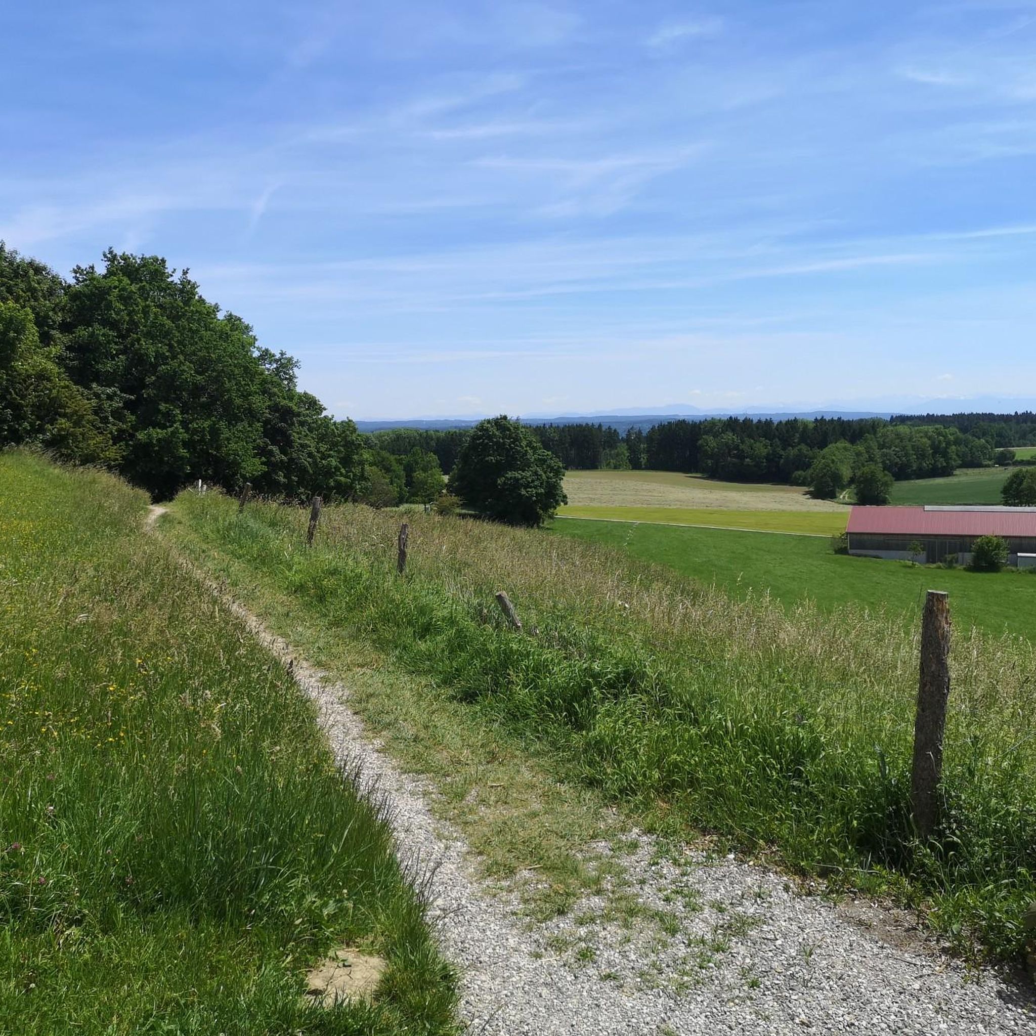
Mountain biking around Türkenfeld offers varied terrain across its picturesque landscape. The region is characterized by a mix of forests, open fields, and proximity to the Ampermoos nature reserve. Situated in the Upper Bavarian Alpine foothills, Türkenfeld provides undulating terrain and moderate elevation changes suitable for mountain biking. Routes often incorporate views of lakes like Ammersee and follow the Amper River, providing diverse scenic backdrops.
Best mountain bike trails around Türkenfeld
- The most popular mountain bike trail is Dießen Ammersee…
Last updated: August 25, 2026
4.6
(26)
78
riders
52.7km
04:08
520m
520m
Moderate mountain bike ride. Good fitness required. Suitable for all skill levels.
4.1
(12)
46
riders
24.4km
01:29
130m
130m
Easy mountain bike ride. Great for any fitness level. Suitable for all skill levels.

Sign up for free
4.1
(11)
41
riders
Moderate mountain bike ride. Good fitness required. Suitable for all skill levels.
4.3
(4)
25
riders
Easy mountain bike ride. Great for any fitness level. Suitable for all skill levels.
5.0
(1)
14
riders
Moderate mountain bike ride. Good fitness required. Suitable for all skill levels.
Get access to more routes and recommendations from other explorers.
Sign up for free
Already have an account?
Our route recommendations are based on thousands of hikes, rides, and runs completed by other people on komoot.
Start today with a free account
Your next adventure awaits.
Login or Signup
Tips from the Community

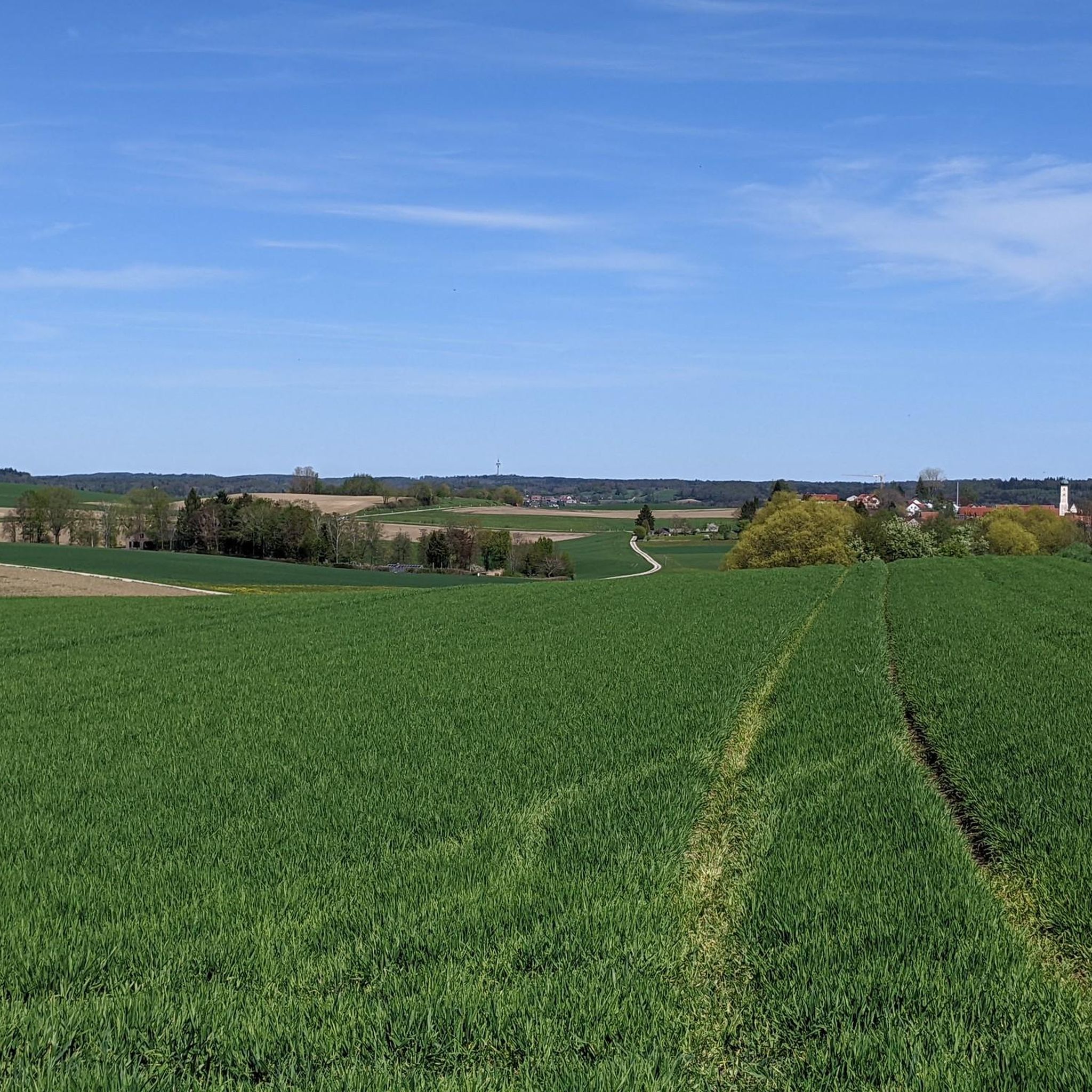
Beautiful view of the Church of the Assumption of Mary in Höfen
0
0
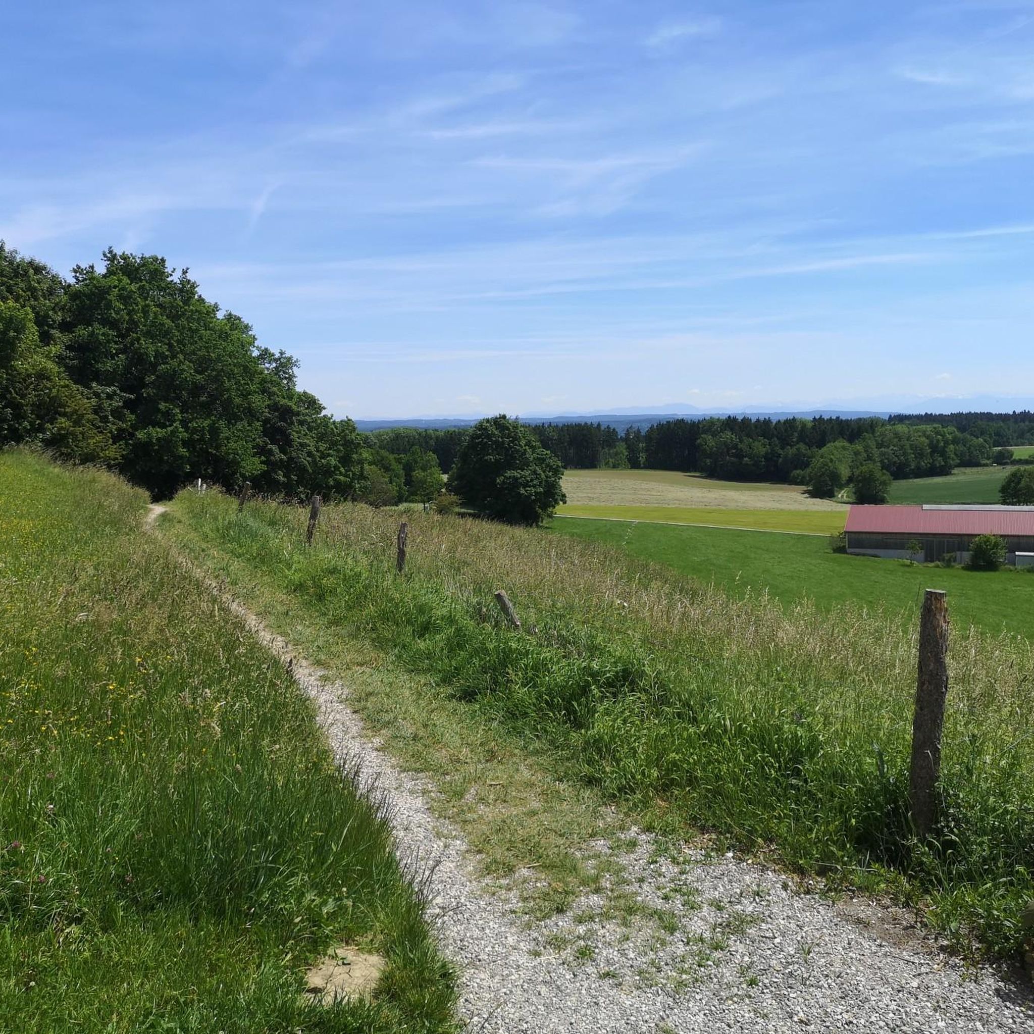
Beautiful view over the moss to the mountains
0
0
Beautiful view of the moss from the path
0
0
Wonderful view of the Amper from the path
0
0

Sculpture Trail Eching
0
0

Nice place to linger
0
0

A hall church with a recessed choir. A tower on the north side of the choir features an onion dome. The core is late Gothic. Remodeled by Dominikus Zimmermann in 1756/1757.
0
0
Frequently Asked Questions
How many mountain bike trails are available around Türkenfeld?
There are over 40 mountain bike trails around Türkenfeld, offering a diverse range of experiences. These include 12 easy routes and 33 moderate routes, catering to various skill levels.
What kind of terrain and elevation can I expect on mountain bike trails near Türkenfeld?
The region around Türkenfeld, situated in the Upper Bavarian Alpine foothills, offers undulating terrain with moderate elevation changes. You'll find a mix of forests, open fields, and routes along rivers and lakes. Elevation gains on individual trails can range from around 120 meters to over 500 meters, providing engaging rides without extreme climbs.
Are there mountain bike trails suitable for beginners or families in Türkenfeld?
Yes, Türkenfeld offers 12 easy mountain bike routes perfect for beginners or family outings. An example is the View of Moos – Ammersee Ice Creamery loop from Türkenfeld, which is 15 miles (24.2 km) long with a manageable elevation gain of about 128 meters.
Are there any circular mountain bike routes around Türkenfeld?
Many of the mountain bike trails around Türkenfeld are designed as circular routes, allowing you to start and end at the same point. For instance, the popular View of the Ammersee – Dießen Ammersee Pier loop from Türkenfeld is a 36.4 miles (58.6 km) loop offering extensive lake views.
What scenic viewpoints or natural attractions can I see along the mountain bike trails?
The trails often pass by beautiful natural features. You can enjoy extensive views of the Ammersee, such as from the View of the Ammersee highlight. Many routes also follow the Amper River, and you might encounter highlights like the Blue Bridge over the Amper or the Wörthsee Lakeside (Steinebach).
Are there any historical or cultural landmarks accessible by mountain bike near Türkenfeld?
Yes, some routes lead past notable landmarks. The Sacred Heart Church, St. Ottilien – St. Ottilien Archabbey loop from Türkenfeld takes you towards the impressive St. Ottilien Archabbey. You can also find historical castles nearby, such as Seefeld Castle or Kaltenberg Castle, which can be incorporated into longer rides.
What is the best time of year for mountain biking in Türkenfeld?
The diverse landscape of Türkenfeld, with its forests and open fields, makes it suitable for mountain biking through much of the year. Spring and autumn offer pleasant temperatures and beautiful scenery, while summer provides longer daylight hours. The region's proximity to the Ampermoos nature reserve means conditions can vary, so checking local weather is always recommended.
Are there mountain bike trails that follow rivers or lakes?
Absolutely. The region is rich with water features. A popular route is the Trail Along the Amper River – Wörthsee (Lake Wörth) loop from Türkenfeld, which follows the Amper River and passes by Lake Wörth, offering beautiful waterside views.
What do other mountain bikers enjoy most about the trails in Türkenfeld?
The mountain bike trails in Türkenfeld are highly rated by the komoot community, with an average score of 4.6 stars from over 800 reviews. Riders often praise the varied terrain, the scenic views of lakes and rivers, and the well-maintained paths through forests and fields that cater to different skill levels.
Are there options for longer, more challenging mountain bike rides?
Yes, for those seeking longer and more challenging rides, Türkenfeld offers several moderate trails. The Sacred Heart Church, St. Ottilien – Bayertor (Landsberg am Lech) loop from Türkenfeld is a 23.9 miles (38.6 km) route with over 300 meters of elevation gain, providing a good workout and varied scenery.
Is there public transport access to mountain bike trails in Türkenfeld?
Türkenfeld is connected by public transport, making it possible to access trails without a car. Many routes start directly from the municipality, which has a train station, allowing for convenient arrival and departure for your mountain biking adventures.
Most popular routes around Türkenfeld
Most popular attractions around Türkenfeld

Get inspired with the komoot mobile app


Explore more
Browse the best MTB trails in other regions.
