The best road cycling routes around Preci
4.8
(34)
1,340
riders
12
rides
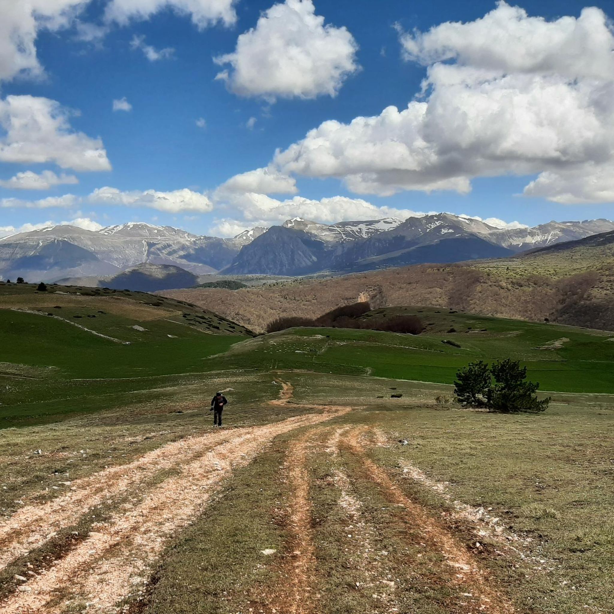
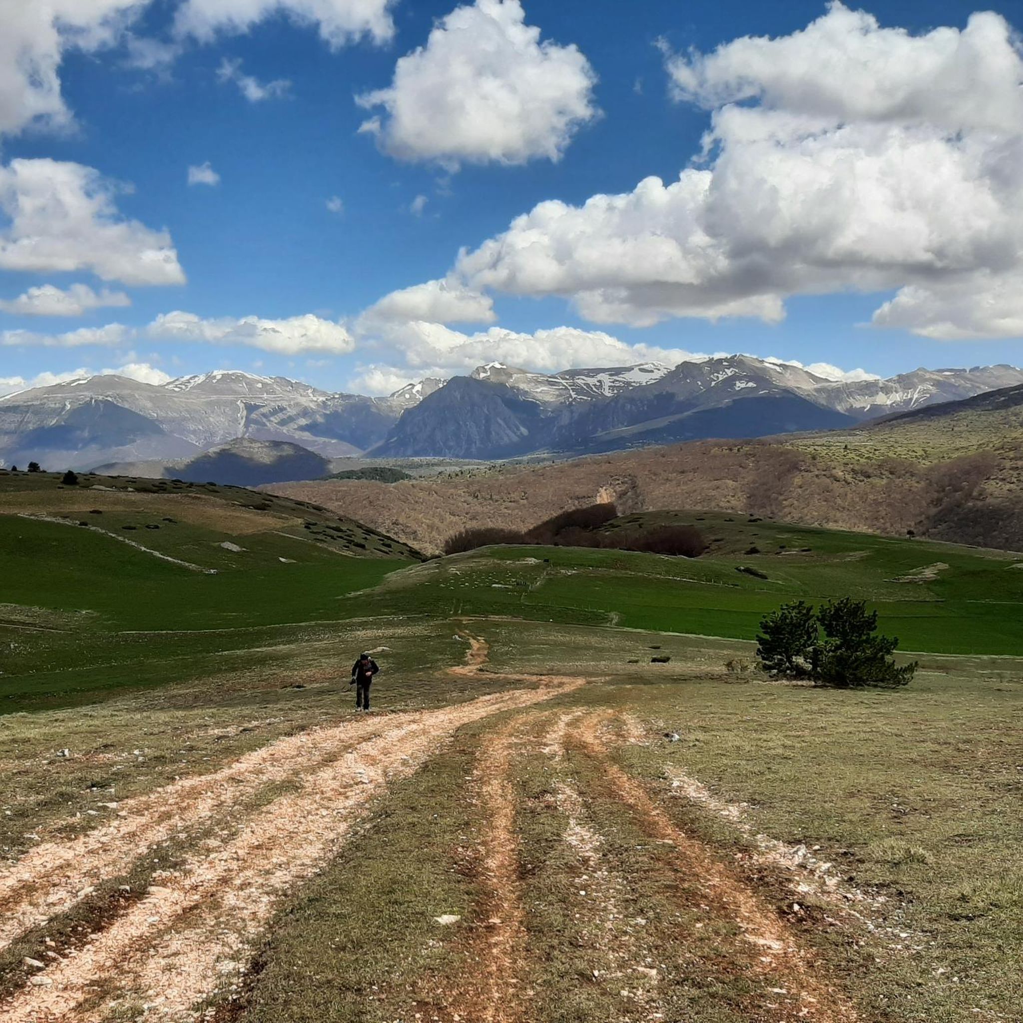
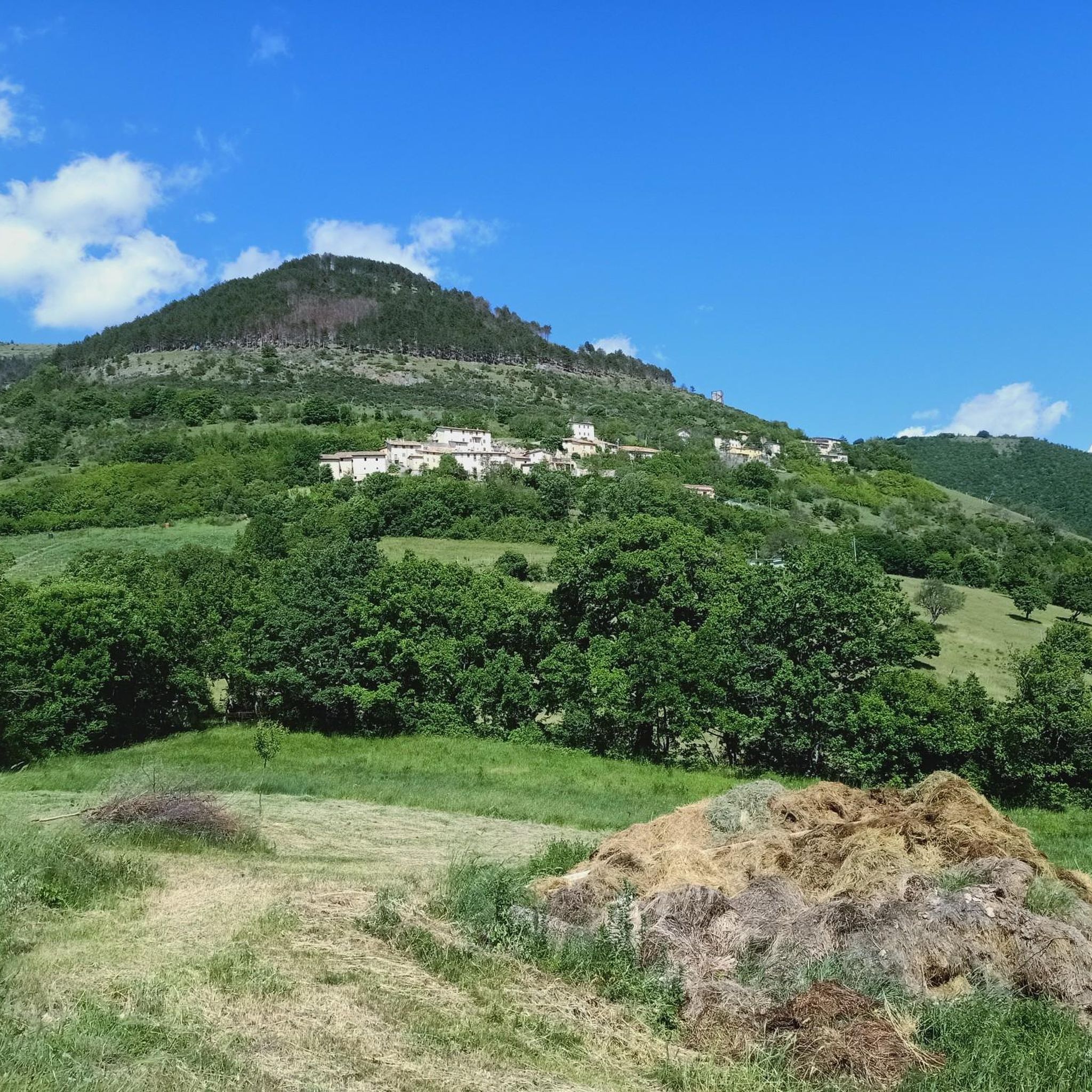
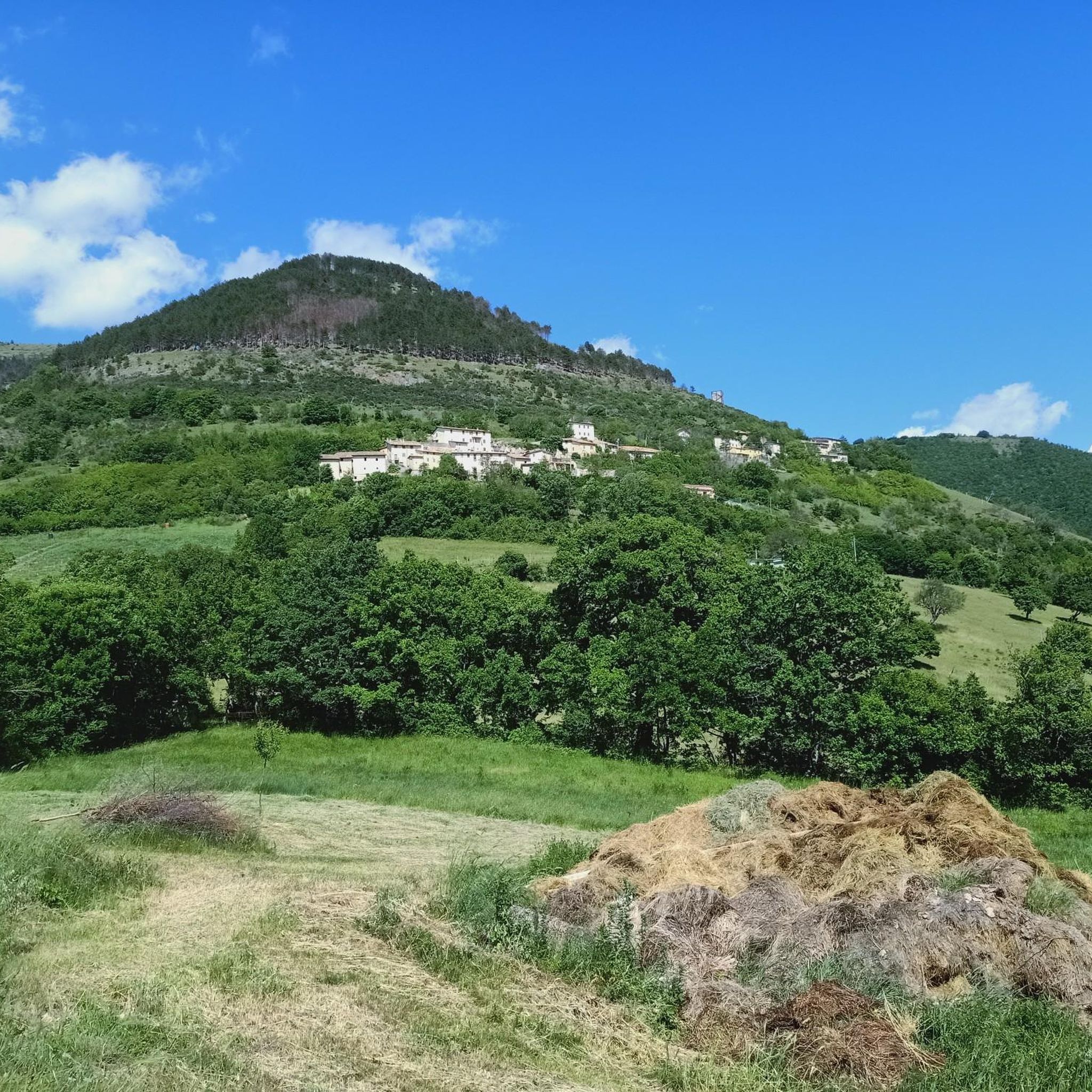
Road cycling routes around Preci traverse a landscape characterized by wild rocks, verdant hills, and plateaus within the Monti Sibillini National Park. The region features undulating hills and mountain passes, offering varied terrain for road cyclists. Roads wind through spectacular mountain scenery, providing both demanding climbs and gentler sections. This area combines natural beauty with cultural richness, making it suitable for diverse cycling experiences.
Best road cycling routes around Preci
- The most popular road cycling route is Norcia – Beautiful Forest Gravel Road loop from Castelvecchio, a 26.5 miles (42.7 km) trail that takes 2 hours 45 minutes to complete. This route offers a challenging ride through forest landscapes.
- Another top favourite among local road cyclists is Norcia – Former Spoleto–Norcia Railway loop from Preci, a moderate 30.3 miles (48.8 km) path. This route follows a disused railway line, providing a unique historical and naturalistic cycling experience.
- Local road cyclists also love the Cerreto Fountain – Castelvecchio loop from Castelvecchio, a 30.1 miles (48.4 km) trail leading through varied terrain with significant elevation gain, often completed in about 2 hours 39 minutes.
- Road cycling around Preci is defined by its mountain scenery, undulating hills, and expansive plateaus like the Piano Grande. The network offers options for different ability levels, from moderate rides to more difficult routes with substantial climbs.
- The routes in Preci are highly rated by the komoot community with an average score of 4.7 stars from over 10 reviews. More than 800 road cyclists have used komoot to explore Preci's varied terrain.
Last updated: July 8, 2026
4.0
(1)
56
riders
44.6km
02:38
1,050m
1,050m
Hard road ride. Very good fitness required. Some segments of this route may be unpaved and difficult to ride.
27
riders
57.1km
03:02
1,000m
1,000m
Hard road ride. Very good fitness required. Mostly well-paved surfaces and easy to ride.

Sign up for free
5.0
(1)
26
riders
46.6km
02:26
820m
820m
Moderate road ride. Good fitness required. Mostly well-paved surfaces and easy to ride.
5.0
(2)
17
riders
57.0km
02:58
950m
950m
Hard road ride. Very good fitness required. Mostly well-paved surfaces and easy to ride.
15
riders
87.5km
04:28
1,440m
1,440m
Hard road ride. Very good fitness required. Mostly well-paved surfaces and easy to ride.
Get access to more routes and recommendations from other explorers.
Sign up for free
Already have an account?
Our route recommendations are based on thousands of hikes, rides, and runs completed by other people on komoot.
Start today with a free account
Your next adventure awaits.
Login or Signup

Tips from the Community


The Forca di Ancarano arriving from Preci is the pleasant end of a 12 km climb with 470 m of altitude difference... from there it's all downhill to Norcia
0
0
I would like to suggest that when travelling through the Valnerina about ten kilometres after Borgo Cerreto, take a detour on the right marked PIEDIPATERNO. This will avoid travelling along the rather busy provincial road and still arrive in Spoleto, passing through the Forca di Ferro (it is a climb with a gradient of approximately 4/6%, 10km long with a difference in altitude of approximately 400 metres…ZERO TRAFFIC, good surface.
1
0


To fill up the water bottles and set off again.
22
0

From here it is possible to bypass the tunnel of the same name by taking the SR 595
0
0
From here (if you avoid the long tunnel) by pass on SS 395 to Forca di Cerro, the municipal road junction and connection to the railway at Km 11;
0
0

incredibly beautiful passages and landscapes
0
0
Frequently Asked Questions
How many road cycling routes are available around Preci?
There are over 14 road cycling routes around Preci, offering a diverse range of experiences. These include 5 moderate routes and 9 difficult routes, catering to various fitness levels.
What kind of terrain can I expect on road cycling routes in Preci?
The region around Preci, nestled within the Monti Sibillini National Park, features a varied landscape. You can expect to encounter 'wild rocks' alongside 'soft, verdant hills, plateaus, and forests'. The roads often wind through spectacular mountain scenery, offering both demanding climbs and gentler sections, with undulating hills and mountain passes characteristic of the area.
What is the best time of year for road cycling in Preci?
The period between May and July is particularly recommended, especially if you wish to experience the breathtaking 'flowering' of the Piano Grande di Castelluccio. Generally, spring and summer offer ideal conditions for exploring the region's diverse landscapes.
Are there challenging road cycling routes in Preci?
Yes, Preci is known for its challenging terrain. Many routes feature significant elevation gains and demanding climbs, ideal for experienced cyclists seeking a rigorous workout. For example, the Norcia – Beautiful Forest Gravel Road loop from Castelvecchio is classified as difficult, with over 1000 meters of ascent over 42.7 km.
Are there any moderate or beginner-friendly road cycling routes in Preci?
While many routes are challenging, there are also moderate options available. These routes provide a balanced experience, allowing you to enjoy the scenery without overly strenuous climbs. The Norcia – Former Spoleto–Norcia Railway loop from Preci is a moderate 48.8 km path that offers a unique historical and naturalistic experience.
What natural features or landmarks can I see while road cycling near Preci?
You can encounter several stunning natural features. The iconic Piano Grande di Castelluccio is a must-see, especially during its flowering season. You'll also ride through parts of the Monti Sibillini National Park, offering views of peaks like Mount Porche and Cima di Passo Cattivo.
Are there any unique historical cycling experiences in the Preci area?
Absolutely. A notable route is the Norcia – Former Spoleto–Norcia Railway loop from Preci. This path follows a disused railway line, offering a unique journey through tunnels, bridges, and viaducts, connecting you with the region's history and natural beauty. Additionally, the ancient Benedictine Abbey of Sant'Eutizio near Preci is a significant cultural stop.
What do other road cyclists say about the routes in Preci?
The road cycling routes in Preci are highly rated by the komoot community, with an average score of 4.7 stars from over 15 reviews. Cyclists often praise the varied terrain, the stunning mountain scenery, and the unique experiences like riding through the Piano Grande.
Are there loop road bike trails around Preci?
Yes, many of the road cycling routes around Preci are designed as loops, allowing you to start and end in the same location. Examples include the Cerreto Fountain – Castelvecchio loop from Castelvecchio and the Rasenna Plateau – Infinity Pool at Il Collaccio loop from Castelvecchio.
Can I find routes that offer scenic viewpoints?
The entire Preci region, being part of the Monti Sibillini National Park, is rich in scenic viewpoints. Routes often traverse high-altitude plateaus like the Piano Grande di Castelluccio, offering expansive vistas. Many climbs also reward cyclists with panoramic views of the surrounding mountains and valleys.
Are there any longer road cycling routes available in Preci for endurance rides?
For those seeking longer endurance rides, Preci offers several options. The Frontignano (1350 m) – Nera Gorges loop from Castelvecchio is a challenging route spanning over 60 km with significant elevation, providing a substantial ride through diverse landscapes.
Most popular attractions around Preci

Get inspired with the komoot mobile app


Explore more
Browse the best Road cycling routes in other regions.
