The best road cycling routes around Preganziol
4.3
(345)
12,509
riders
34
rides
Road cycling routes around Preganziol are characterized by the diverse and accessible landscapes of the Veneto region. The area features generally flat terrain, particularly along river paths and repurposed railway lines, making it suitable for various skill levels. Cyclists can explore the Sile River's gentle course and the extensive network of routes built on the former Treviso-Ostiglia railway. The broader Po Valley and Veneto countryside offer scenic rides through meadows and wooded areas.
Best road cycling routes around Preganziol
- The…
Last updated: October 20, 2026
4.8
(5)
269
riders
127km
05:51
1,260m
1,260m
Hard road ride. Very good fitness required. Mostly well-paved surfaces and easy to ride.
4.3
(6)
163
riders
91.5km
03:48
110m
110m
Moderate road ride. Good fitness required. Some segments of this route may be unpaved and difficult to ride.

112
riders
67.2km
02:51
320m
320m
Moderate road ride. Good fitness required. Mostly well-paved surfaces and easy to ride.
5.0
(2)
101
riders
48.3km
02:03
70m
70m
Moderate road ride. Good fitness required. Some segments of this route may be unpaved and difficult to ride.
5.0
(2)
56
riders
47.7km
01:56
70m
70m
Easy road ride. Great for any fitness level. Mostly well-paved surfaces and easy to ride.
Get access to more routes and recommendations from other explorers.
Already have an account?
Our route recommendations are based on thousands of hikes, rides, and runs completed by other people on komoot.
Start today with a free account
Your next adventure awaits.
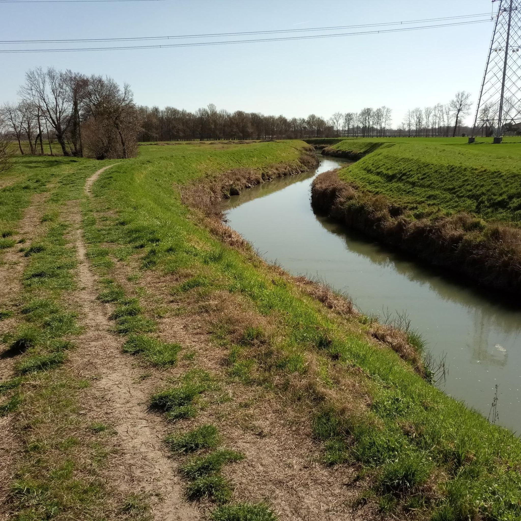

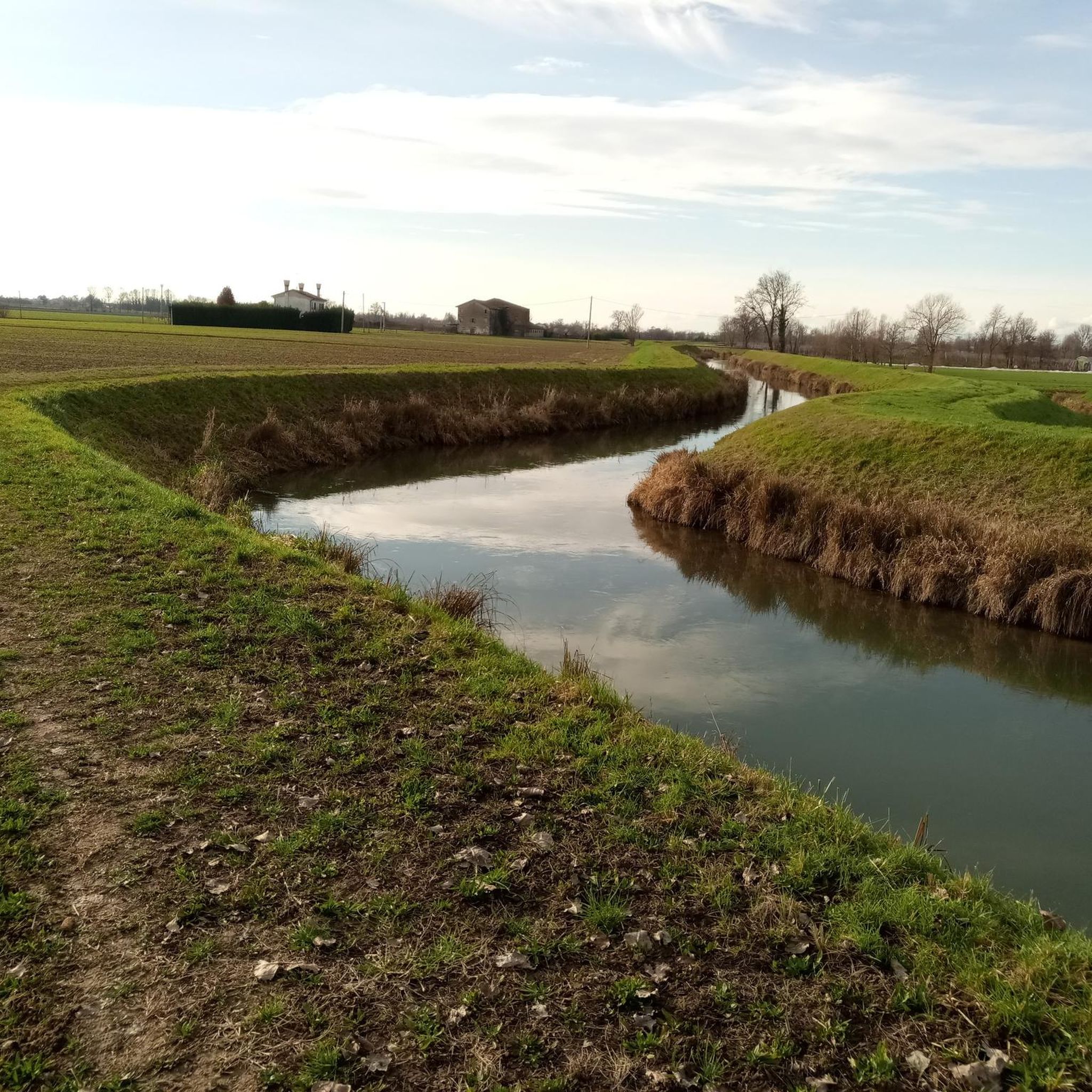
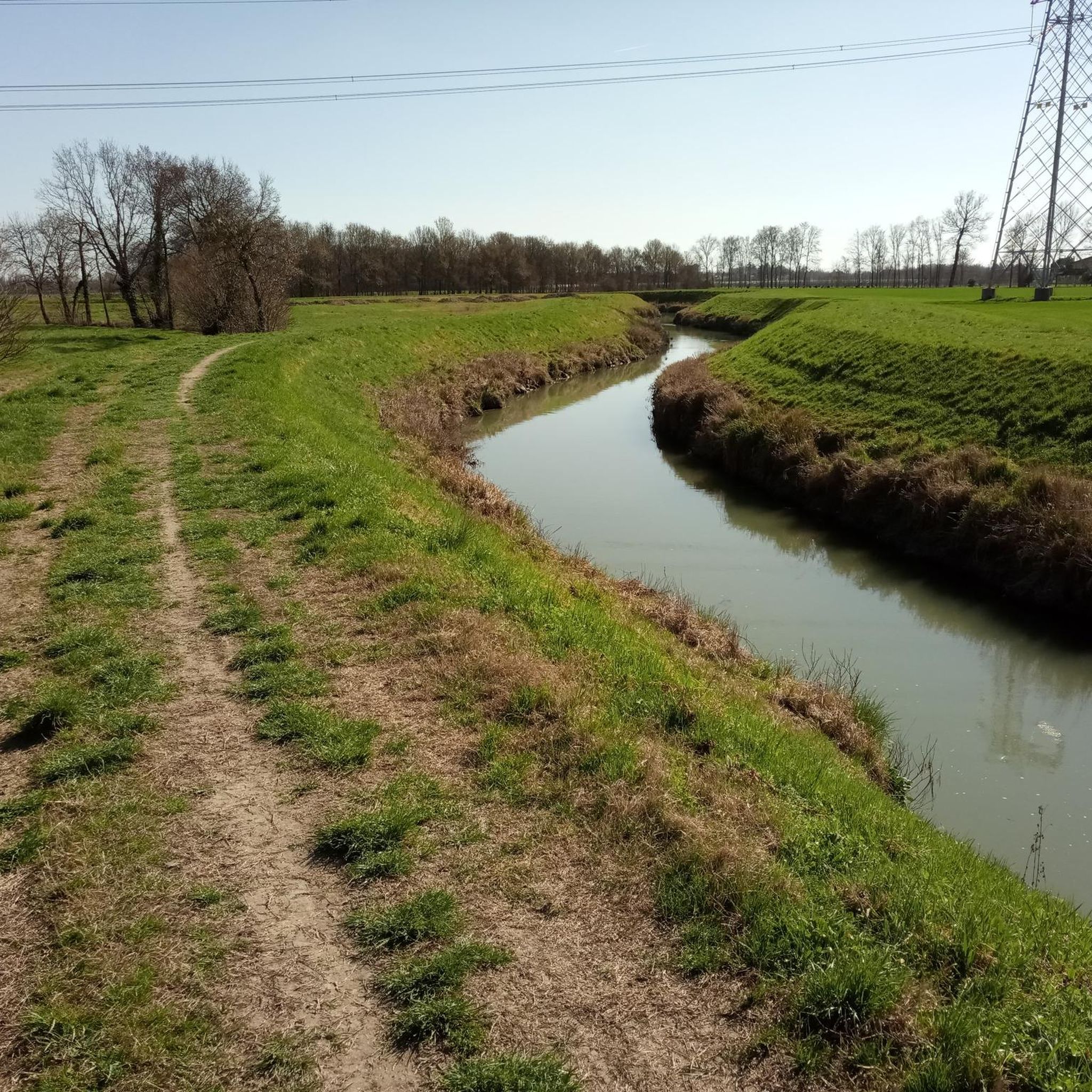
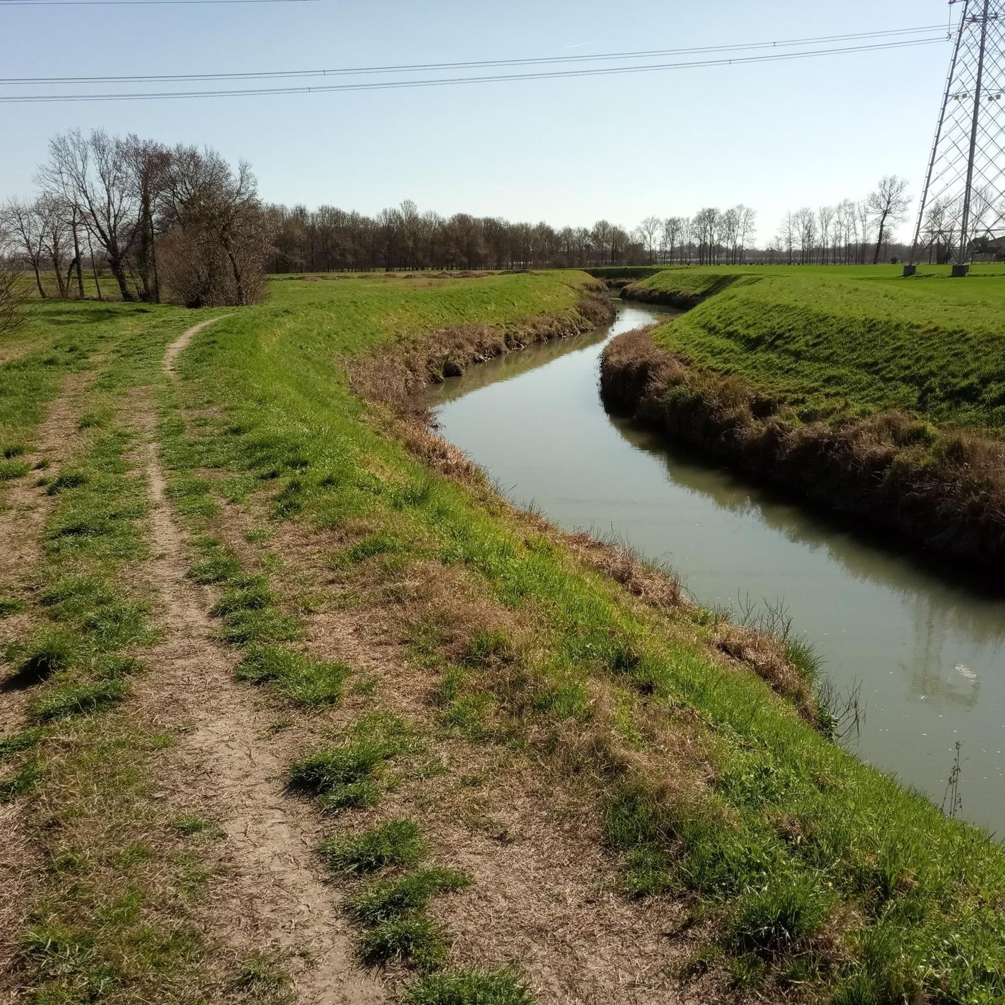
Tips from the Community

Rolle is a small hamlet of Cison di Valmarino (TV), located in the Treviso Prealps along the panoramic Strada del Prosecco. Main characteristics of the village and vineyards First FAI village: In 2004, it became the first Italian village protected by the Fondo Ambiente Italiano (FAI). UNESCO Heritage: Since 2019, it has been part of the Prosecco Hills of Conegliano and Valdobbiadene, declared a World Heritage Site. Heroic viticulture: The vineyards climb steep slopes and south-facing terraces, requiring manual and strenuous work (often defined as "heroic"). Landscape and architecture: Described by a poet as "a postcard sent by the Gods", the village preserves stone buildings, an ancient Benedictine monastery dating back to the 13th century, and the small church dedicated to Saints Philip and James.
1
0

A bit of traffic because there's a bottleneck, risk of head-on collision with bikes
0
0
before the lion statue there is a narrowing, be CAREFUL and hop over it!!!
0
0

The church, together with the outbuildings, is a real eye-catcher.
0
0

Shame, unfortunately no benefit for the railway line cycle path
1
0
Worth seeing city gate of Treviso.
1
0
Beautiful paved railway cycle path I5 with a break option.
1
0

Il Molinetto della Croda, in the Lierza valley, represents one of the most evocative corners of the Marca Trevigiana. In its almost four centuries of history, the ancient mill with a stone grinder has managed to maintain its charm and enchant artists and visitors.
16
0
Frequently Asked Questions
How many road cycling routes are available around Preganziol?
There are over 35 documented road cycling routes around Preganziol, catering to various skill levels. This includes 8 easy routes, 27 moderate routes, and 3 difficult routes, ensuring options for every cyclist.
What types of terrain can I expect on road cycling routes in Preganziol?
Preganziol offers diverse terrain, primarily characterized by generally flat landscapes, especially along river paths and repurposed railway lines. You'll find routes along the gentle Sile River, the paved former Treviso-Ostiglia railway, and quiet country roads through the Po Valley and Veneto countryside. Some routes, like the Molinetto della Croda – Rolle loop from San Trovaso, feature significant elevation gain for a more challenging experience.
Are there any long-distance road cycling routes in the Preganziol area?
Yes, the region is home to the extensive cycle path built on the former Treviso-Ostiglia railway, which stretches for 110 km. This traffic-free, mostly paved route is a major artery for cycle tourism, connecting to other regional paths like the Sile and Brenta Cycle Paths. For a challenging long-distance option, consider the Molinetto della Croda – Rolle loop from San Trovaso, which is nearly 127 km long.
Are there easy or beginner-friendly road cycling routes around Preganziol?
Absolutely. Preganziol's generally flat terrain makes it ideal for easy and beginner-friendly rides. There are 8 easy routes available, such as the Liberty Bridge – Venice loop from Preganziol, which is a manageable 47.6 km with minimal elevation. Routes along the Sile River also offer gentle, scenic experiences.
What scenic attractions can I see along the road cycling routes?
Many routes follow the Sile River, where you can discover natural beauty and historical sites. Notable attractions include the historic Cervara Bridge on the Sile River and the atmospheric Burci Boat Cemetery. The Cycle Path of the Former Treviso-Ostiglia Railway also passes by Venetian villas and other historical points of interest.
Are there any circular road cycling routes in Preganziol?
Yes, many routes are designed as loops, allowing you to start and end in the same location. Examples include the Bastione San Marco – Porta San Tommaso loop from San Trovaso, a moderate 67.6 km ride, and the Casale sul Sile Bell Tower – Musestre village center loop from San Trovaso, which is 50.7 km.
Can I access road cycling routes using public transport in Preganziol?
Preganziol is well-connected, and the region's cycling infrastructure, particularly the former Treviso-Ostiglia railway path, is designed for accessibility. Many towns along the routes, including Preganziol itself, have train stations, making it feasible to combine cycling with public transport. It's advisable to check specific train line policies regarding bicycle transport.
What do other road cyclists enjoy most about cycling in Preganziol?
The area is highly rated by the komoot community, with an average score of 4.7 stars from over 20 reviews. Reviewers often praise the diverse and accessible landscapes, the extensive network of routes including traffic-free paths like the former Treviso-Ostiglia railway, and the peaceful rides along the Sile River and quiet country roads.
Are there road cycling routes suitable for families in Preganziol?
Yes, the generally flat terrain and dedicated cycle paths make Preganziol suitable for family cycling. The former Treviso-Ostiglia railway path is traffic-free and paved, offering a safe and enjoyable experience for all ages. Routes along the Sile River, while sometimes dirt, are also gentle and bring riders into close contact with nature, providing a pleasant family outing.
Where can I find cafes or restaurants along road cycling routes in Preganziol?
The routes often pass through or near charming towns and villages in the Veneto countryside. Towns like Camposampiero, with its medieval towers and Venetian palaces, offer opportunities for stops. The Sile River routes and the former Treviso-Ostiglia railway path are known to have amenities along their course, making it easy to find places for refreshments.
Are there any road cycling routes that avoid cars in Preganziol?
Yes, a significant draw for cyclists in Preganziol is the cycle path built on the traces of the former Treviso-Ostiglia railway. This route offers a pleasant, traffic-free experience on a mostly paved surface, extending for 110 km. Additionally, some sections along the Sile River provide dedicated paths away from vehicular traffic.
What is the best time of year for road cycling in Preganziol?
The Veneto region generally offers pleasant cycling conditions for much of the year. Spring and autumn provide mild temperatures and beautiful scenery, ideal for exploring. Summer can be warm, but routes along the Sile River often provide shade, making them more comfortable during hotter months.
Most popular routes around Preganziol
Most popular attractions around Preganziol

Get inspired with the komoot mobile app


Explore more
Browse the best Road cycling routes in other regions.
