The best road cycling routes around Cavriago
4.4
(519)
12,316
riders
22
rides
Road cycling routes around Cavriago traverse a diverse landscape, ranging from flat plains to undulating foothills and the initial spurs of the Matildic hills. The region offers varied terrain, including rural countryside with agricultural fields and river greenways, providing options for different cycling preferences. Mount Grafagnana presents a more strenuous experience for advanced road cyclists.
Best road cycling routes around Cavriago
- The most popular road cycling route is View of Pietra di Bismantova – View of Canossa Castle loop from…
Last updated: October 21, 2026
4.8
(6)
580
riders
105km
05:05
1,450m
1,450m
Hard road ride. Very good fitness required. Mostly well-paved surfaces and easy to ride.
4.8
(13)
191
riders
61.6km
03:57
800m
800m
Moderate road ride. Good fitness required. Some segments of this route may be unpaved and difficult to ride.

4.8
(8)
93
riders
Moderate road ride. Good fitness required. Mostly well-paved surfaces and easy to ride.
4.0
(1)
72
riders
62.8km
03:07
880m
880m
Moderate road ride. Good fitness required. Mostly well-paved surfaces and easy to ride.
5.0
(1)
25
riders
Hard road ride. Very good fitness required. Some segments of this route may be unpaved and difficult to ride.
Get access to more routes and recommendations from other explorers.
Already have an account?
Our route recommendations are based on thousands of hikes, rides, and runs completed by other people on komoot.
Start today with a free account
Your next adventure awaits.

Tips from the Community

Monument dedicated to the Italian victory in the Great War, it is located in viale Toschi behind the Palazzo della Pilotta. Its construction began in 1917 to a design by the Parmesan architect Lamberto Cusani, but was only completed in 1931, when it was inaugurated in the presence of King Vittorio Emanuele III. In the shape of an obelisk, it consists of a 10 m high marble column wrapped by a bronze frieze that holds a very long sword, on which a winged female figure, the "Victory", stands on a bronze sphere, the work of sculptor Ettore Ximenes. SOURCE: https://it.wikipedia.org/wiki/Monumenti_di_Parma
0
0

La Pietra di Bismantova is that rocky massif with the unmistakable and isolated ship-like profile that distinguishes the landscape of the Reggio Apennines. With a length of 1 km, a width of 240 m and a height of 300 m, on the plateau that serves as its base, it is a gigantic example of residual erosion. Its formation dates back to the lower middle Miocene, or about 15 million years ago, an era when this calcarenite, resting on a base of clayey marls, formed in a shallow marine environment during a tropical climate phase, as evidenced by the paleontological content that can be found: mollusc shells, calcareous algae, sponge spicules, fish teeth. In reality, it is what remains of a much more extensive sandstone plate, partly dismantled because it was affected by faults and fractures, and shaped by erosion over the millennia: the large detached blocks lying partly at the base of the vertical walls bear witness to this.
0
0
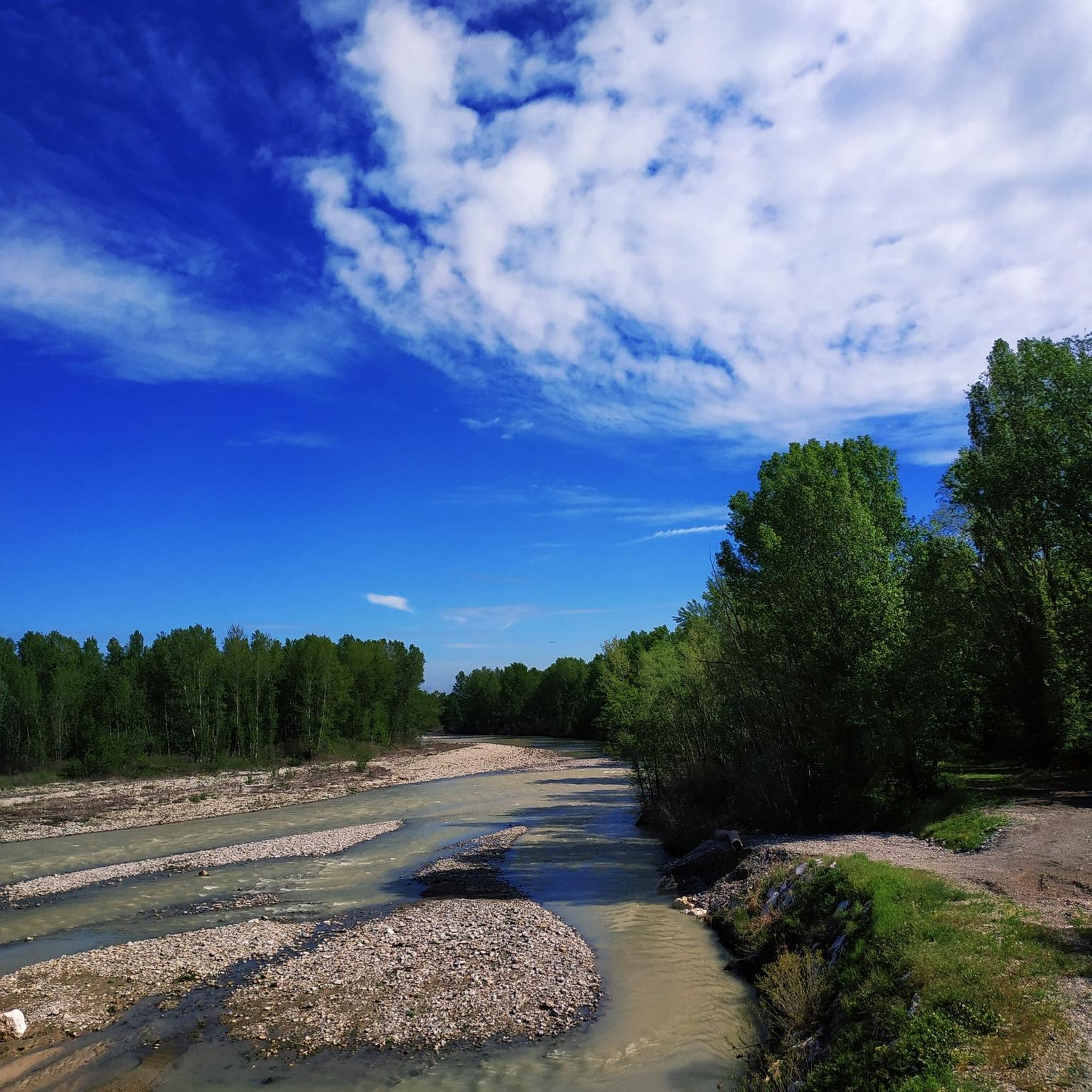
Il Ponte del Pomello is a historic bridge located along the SP 10, which crosses the Enza stream connecting the municipality of Vetto (in the province of Reggio Emilia) with the municipality of Neviano degli Arduini (in the province of Parma) I have personally taken care of its maintenance in the past
0
0
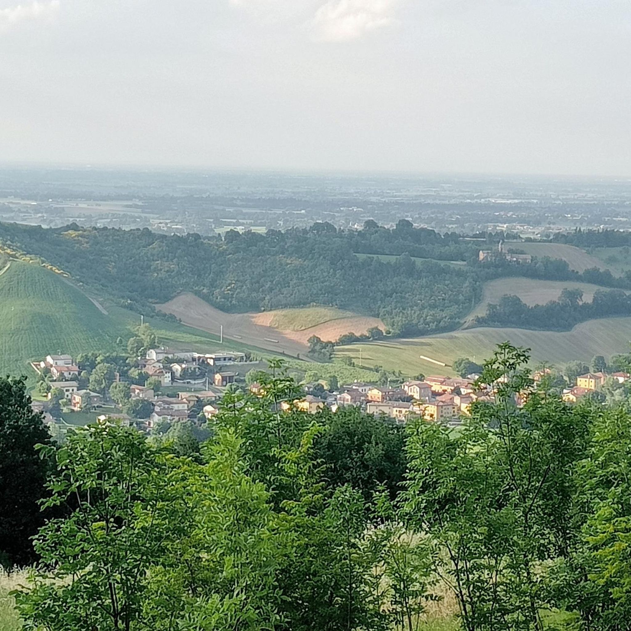
The Church of Sant'Antonino Martire in Compiano d'Enza (a hamlet in the municipality of Canossa, in the province of Reggio Emilia) is a Catholic place of worship dating back to the 16th century, whose documented origins date back as far as the year 1080. Main information History: Originally linked to the Monastery of S. Prospero in Reggio Emilia, the primitive church was destroyed by a landslide in the 15th century and rebuilt in its current position on a rocky hill overlooking the Enza valley. Architecture: It features a facade in classical forms, marked by pilasters and a sixteenth-century layout. Current state: The building and its appurtenances (bell tower and rectory) are currently in a state of semi-abandonment, although they offer a highly impactful panorama of the valley.
0
0
The date of foundation of the first church is not known, however the dedication of the church of Coenzo to the cult of San Siro di Pavia attests that at the time of its construction the influence of Lombard culture still persisted in the territory. A parchment dated September 3, 1140 attests to the existence of a first building quidbquid iuris habeat in Ecclesia de Coencio. Bishop Obizzo, on October 5, 1197, issued a sentence to settle the dispute between the archpriest of Sorbolo and the abbess Ferlinda who claimed the right to appoint the clerics of the chapel of San Siro di Coenzo. The dispute went in favor of the abbess who, however, had to undertake to pay an annual tribute to the archpriest. The parchment Ratio decimarum of 1299 cites it as dependent on the parish of Sorbolo. It appears again in the 1354 estimate.
0
0

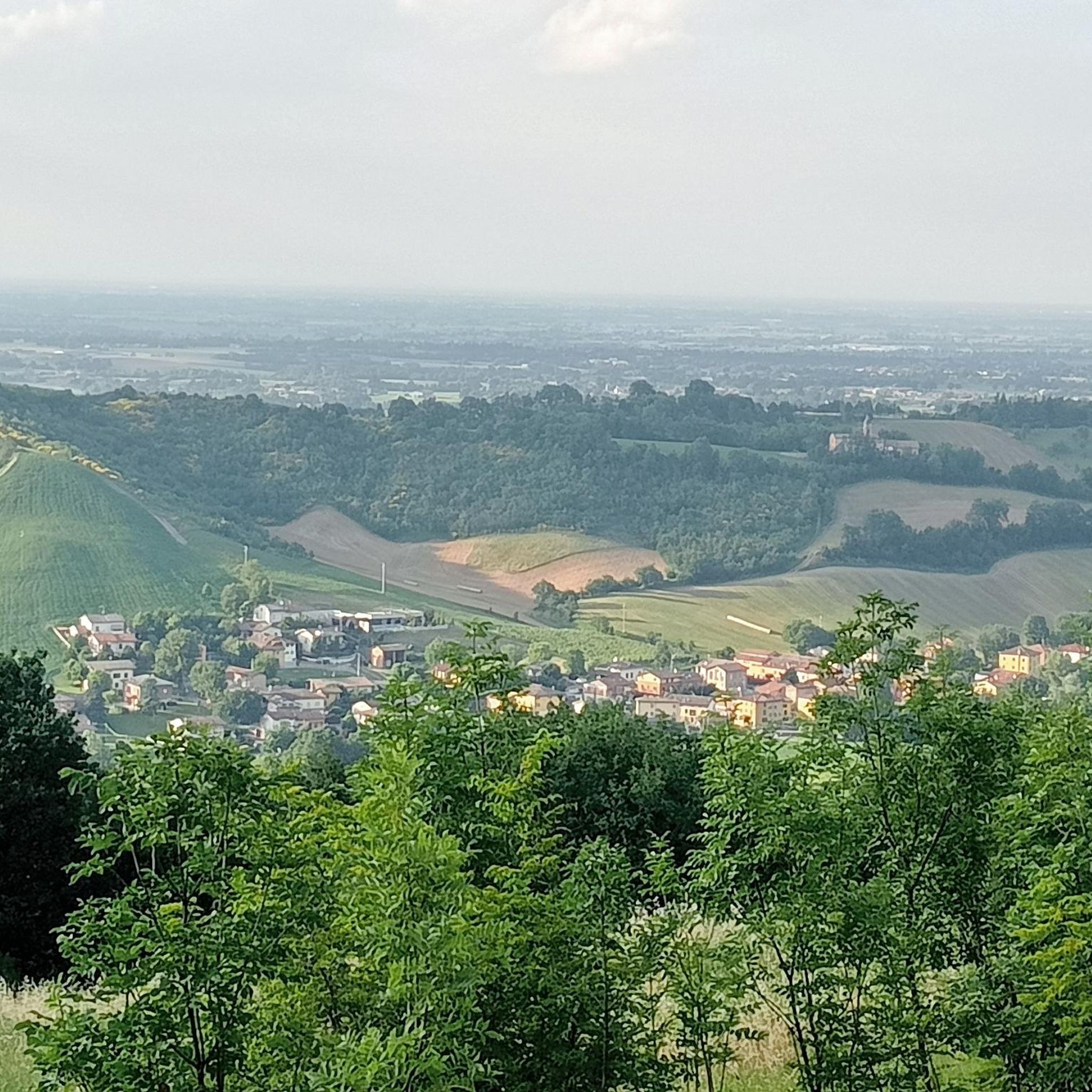
On this route, you can see a panorama from a particularly interesting side rich in valleys, and then... the queen of the Reggiano Apennines appears: the Pietra di Bismantova, now you are forced to stop and enjoy what you see, for those who know how to appreciate it, these are indelible moments in memory. A tour that is not very demanding in terms of strenuous climbs but rich in pleasant landscapes, I HIGHLY RECOMMEND IT!
0
0
The Pietra di Bismantova is an imposing and characteristic sandstone rock massif located in the Reggio Apennines, in the municipality of Castelnovo ne' Monti (province of Reggio Emilia). It reaches an altitude of 1,047 meters above sea level and is famous for its unmistakable hoof or "isolated ship" shape that dominates the surrounding landscape. This majestic calcarenite monolith is protected within the Tuscan-Emilian Apennine National Park and is even mentioned by Dante Alighieri in the IV canto of Purgatory
0
0
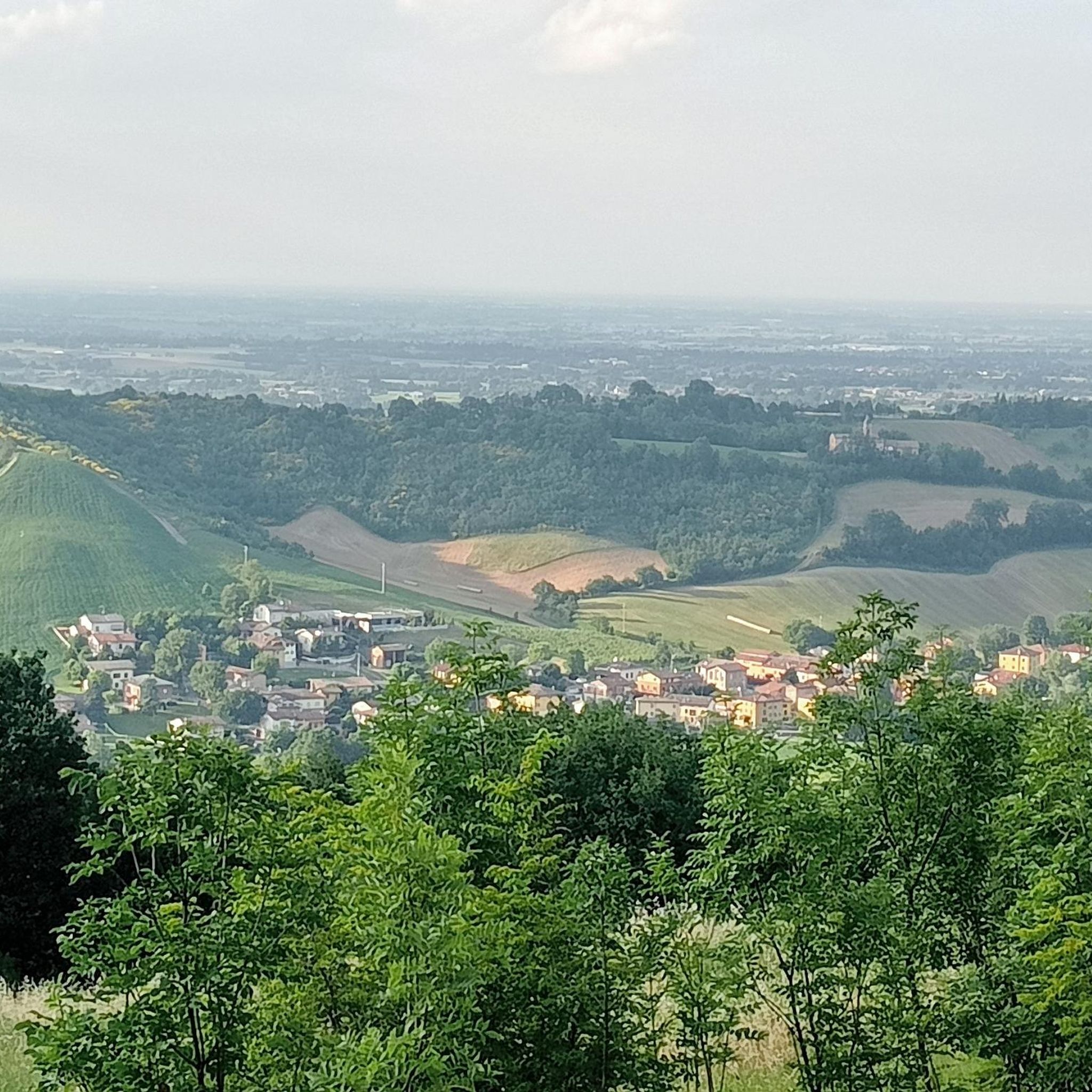
The climb to Castello di Rossena is a fascinating ascent in the Terre Matildiche (Reggiano Apennines). From Ciano d'Enza, the climb on asphalt (SP 73) is about 6 km long with constant gradients of 5-8%, ideal for road bikes or gravel bikes. For MTBs, there are more technical dirt loop routes. Technical Details of the Climb Start: Ciano d'Enza (approx. 260 m a.s.l.) Arrival: Castello di Rossena (approx. 500 m a.s.l.) Elevation Gain: Approx. 240 m (reachable up to 460 m depending on the chosen loop) Length: Approx. 6 km on asphalt road Difficulty: Medium-Easy (on asphalt)
1
0
Frequently Asked Questions
How many road cycling routes are available around Cavriago?
There are over 20 road cycling routes around Cavriago, offering a variety of experiences for different skill levels. You'll find options ranging from easy, flat rides to more challenging climbs.
What kind of terrain can I expect when road cycling near Cavriago?
Road cycling around Cavriago offers a diverse landscape. You can expect flat routes through the plains and rural countryside, undulating terrain in the foothills, and more challenging climbs as you approach the Matildic hills and prominent summits like Mount Grafagnana.
Are there road cycling routes suitable for beginners or families in Cavriago?
Yes, Cavriago offers several easy road cycling routes, with 9 routes specifically categorized as easy. These often traverse flat plains and river greenways, providing a relaxed experience. An example is the Piazza Lenin loop from Cavriago San Nicolò, which is an easy 47.4 km ride.
When is the best time of year to go road cycling in Cavriago?
The Emilia-Romagna region, including Cavriago, is generally pleasant for cycling from spring through autumn. Spring and early autumn offer mild temperatures and beautiful scenery. While winter cycling is possible, be aware of potential ice and snow conditions, especially on higher elevation routes.
What do other cyclists say about the road cycling experience in Cavriago?
The road cycling routes in Cavriago are highly rated by the komoot community, with an average score of 4.4 stars from over 20 reviews. Cyclists often praise the varied terrain, from scenic rural landscapes to challenging climbs, and the well-maintained paths.
Are there challenging road cycling routes for experienced cyclists?
Absolutely. For experienced road cyclists seeking a challenge, Cavriago offers several difficult routes, including 3 specifically categorized as such. Routes like the View of Pietra di Bismantova – View of Canossa Castle loop from Cavriago feature extensive views and significant climbs, covering over 100 km with substantial elevation gain.
What interesting sights or landmarks can I see along road cycling routes in Cavriago?
Many road cycling routes in Cavriago pass by interesting points. You might encounter historic villas like Villa Levi, charming town centers, or natural features such as Corbelli Pond. Routes also offer views of impressive structures like Canossa Castle and Rossena Castle.
Are there circular road cycling routes available in Cavriago?
Yes, many of the road cycling routes around Cavriago are designed as loops, allowing you to start and end in the same location. Examples include the popular View of Pietra di Bismantova – View of Canossa Castle loop from Cavriago and the Pomello Bridge in Vetto loop from Cavriago.
Can I find flat road cycling routes around Cavriago?
Yes, Cavriago is situated between plains and foothills, offering several flat road cycling options. You can explore routes through the lowlands, rural countryside, and along river greenways like the Modolena Stream Greenway or the Rodano Stream Greenway, which are completely flat and ideal for leisurely rides.
How can I access the road cycling routes around Cavriago using public transport?
Cavriago is connected by public transport, and some bus lines may allow bike transport, though it's advisable to check specific operator policies beforehand. For longer distances, consider regional trains to nearby Reggio Emilia, which often accommodate bicycles, and then cycle to Cavriago.
Is there parking available near the road cycling route starting points in Cavriago?
Yes, parking is generally available in Cavriago town center and near various route starting points. Look for designated parking areas or public parking spaces, especially if you're driving to begin your ride.
Are there any quiet roads for road cycling in Cavriago?
Many of the road cycling routes in Cavriago traverse rural landscapes and agricultural areas, often utilizing quieter country roads with low traffic. This allows for a more peaceful and immersive cycling experience through scenic countryside.
Can I find places to eat or stay that are cyclist-friendly in Cavriago?
The Emilia-Romagna region is known for its hospitality. In Cavriago and surrounding towns, you can find various cafes, restaurants, and accommodations. Many establishments are accustomed to cyclists and may offer amenities like secure bike storage or early breakfast options. It's always a good idea to check in advance.
Most popular attractions around Cavriago

Get inspired with the komoot mobile app


Explore more
Browse the best Road cycling routes in other regions.
