The best MTB trails in the Truong San
5.0
(2)
14
riders
3
rides
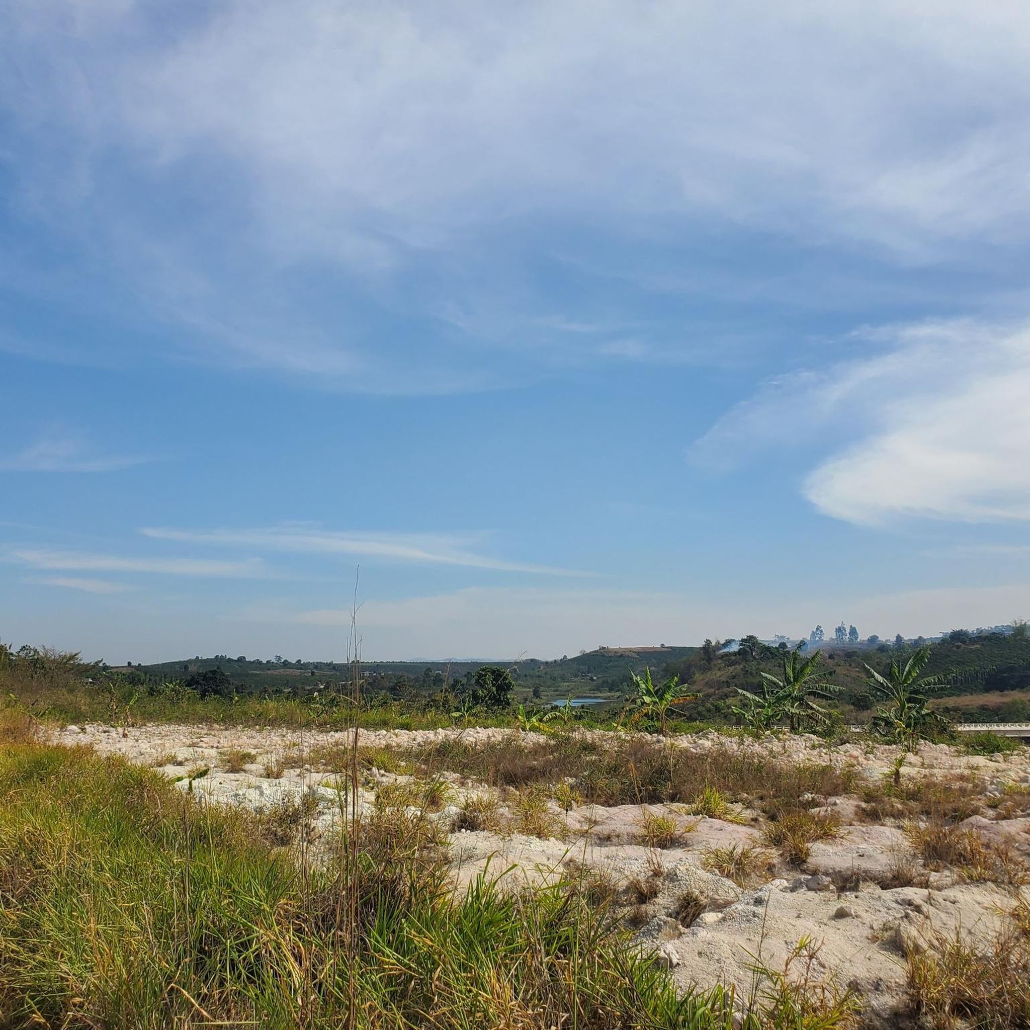
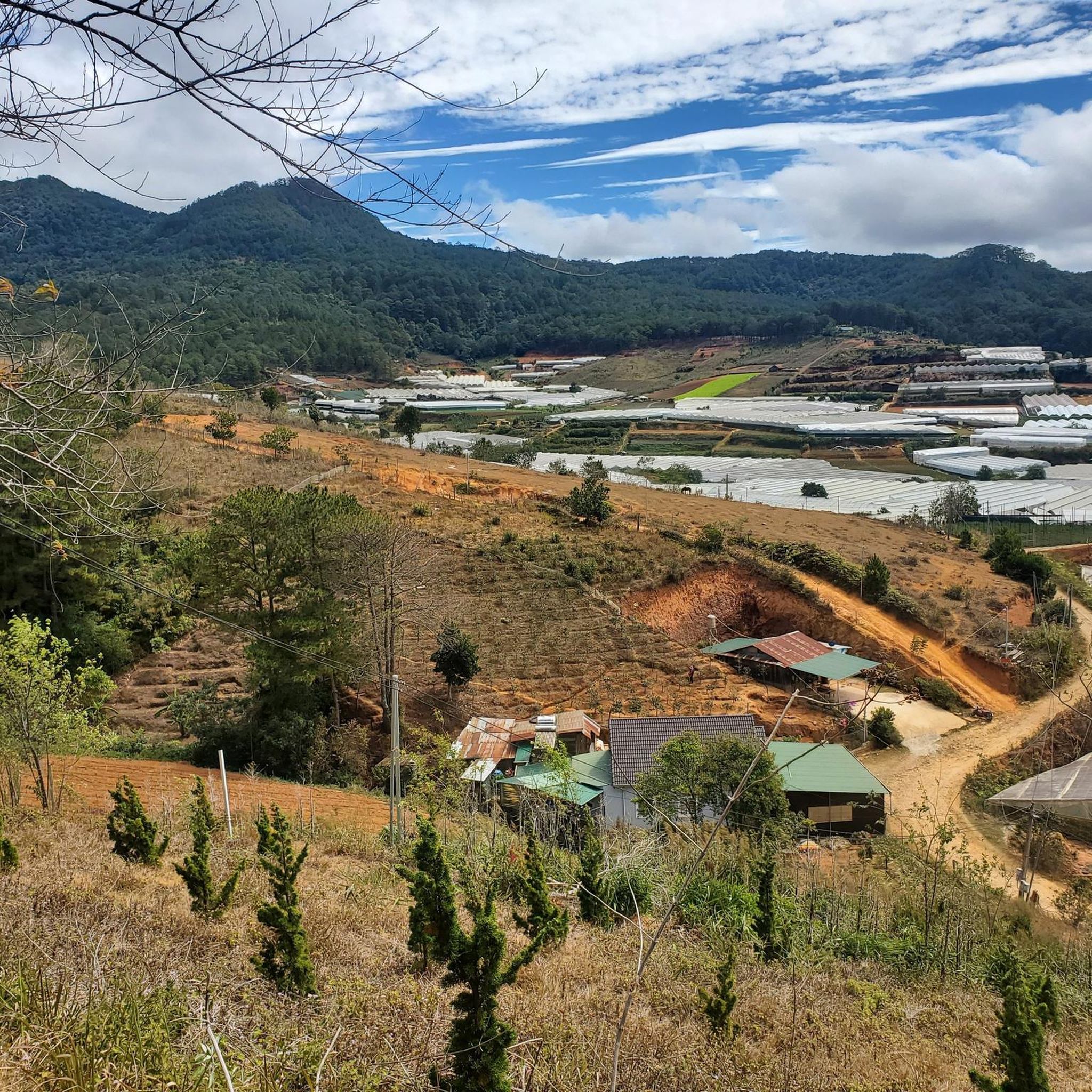
Mountain biking in the Truong San traverses a region characterized by rugged terrain, dense jungles, and varied topography. The Annamite Range, which includes the Truong San, features misty peaks and ancient forests, providing a challenging environment. Riders can expect diverse landscapes, from sharp peaks in the north to gentler hills and rolling plateaus further south. This area also includes historical routes like sections of the Ho Chi Minh Trail, offering a mix of natural beauty and cultural significance.
Best mountain…
Last updated: July 5, 2026
5.0
(1)
9
riders
21.4km
01:42
340m
340m
Moderate mountain bike ride. Good fitness required. Suitable for all skill levels.
5.0
(1)
4
riders
30.3km
02:19
550m
550m
Moderate mountain bike ride. Good fitness required. Suitable for all skill levels.

Sign up for free
1
riders
44.3km
02:46
530m
530m
Moderate mountain bike ride. Good fitness required. Suitable for all skill levels.
Our route recommendations are based on thousands of hikes, rides, and runs completed by other people on komoot.
Start today with a free account
Your next adventure awaits.
Login or Signup
Tips from the Community

An atmospheric pagoda located on a hill near the center, built in 1936 with donations from Buddhists from all over the world.
1
0

The garden is past its prime and is in dire need of maintenance. This makes for an adventurous walk, and some parts are difficult to walk on. The Gio Falls are particularly dangerous.
0
0

The highlight is the waterfall.
0
0

Entrance to the Botanical Garden. Ticket costs 40k VND per person + 5k VND for a motorcycle parking space. There used to be two tours through the park, but now there is only one. Duration approx. 2-2.5 hours, if you take time to take a break and enjoy the surroundings. "Park" is actually the wrong word here. It is more of a safe jungle path. It is well signposted, but still so far over hill and dale and winding jungle paths that you feel like the Vietcong or the GIs in the Vietnam War. Be sure to apply mosquito spray.
0
0

The oldest pagoda in the city. A place of peace and reflection in the middle of the hustle and bustle of the city. Opposite is a tour operator who rents out decent mountain bikes (Phat Tire).
2
0

here you can take a wonderful walk through the gardens.
0
0
Frequently Asked Questions
What are the typical difficulty levels for mountain biking in the Truong San?
The Truong San offers a range of mountain biking experiences, from moderate rides through rolling hills to more challenging paths in mountainous areas. You'll find routes suitable for intermediate riders, such as the Linh Son Pagoda loop from Da Lat, which is 21.4 km long. For those seeking a more demanding adventure, there are difficult trails like the Deserted Road full of Monkeys – Rào chắn loop, spanning 34.2 km through dense jungle.
Are there any mountain bike trails that are loop routes in the Truong San?
Yes, all the mountain bike routes highlighted in the Truong San are designed as loops, offering convenient starting and ending points. Examples include the moderate Linh Son Pagoda – Em Oi Cafe loop from Da Lat, which covers 30.3 km, and the longer Phong Nha Botanical Garden loop, a 44.4 km ride.
What is the best time of year for mountain biking in the Truong San?
The best time to visit the Truong San Mountains for mountain biking is during the dry season, which typically runs from November to April. During these months, the weather is more settled, and trails are generally less difficult due to drier conditions, making for a more enjoyable and safer ride.
Are there any waterfalls or natural monuments along the mountain bike trails in the Truong San?
Yes, the Truong San region is rich in natural beauty, including several waterfalls and natural monuments. While riding, you might encounter attractions like Gio Waterfall or Datanla Waterfall First Level. The region also features impressive limestone karsts and caves, such as Paradise Cave (Thiên Đường Cave), offering stunning sights beyond the trails.
What kind of terrain can I expect on mountain bike trails in the Truong San?
Mountain biking in the Truong San involves diverse and rugged terrain. You can expect everything from sharp, rugged peaks in the north to gentler hills and rolling plateaus further south. Trails often cut through dense jungles, ancient forests, and may include sections of historic routes like the Ho Chi Minh Trail, offering a mix of natural paths, rocks, and sometimes muddy sections, especially outside the dry season.
Can I expect to see wildlife while mountain biking in the Truong San?
The Truong San range is a biodiversity hotspot, home to numerous species of mammals, birds, reptiles, and amphibians. While riding through the dense jungles and forests, especially on trails like the Deserted Road full of Monkeys – Rào chắn loop, there's a chance for wildlife observation. Keep an eye out for rare and endemic species that inhabit this rich ecosystem.
Are there any historical landmarks or significant sites accessible by mountain bike in the Truong San?
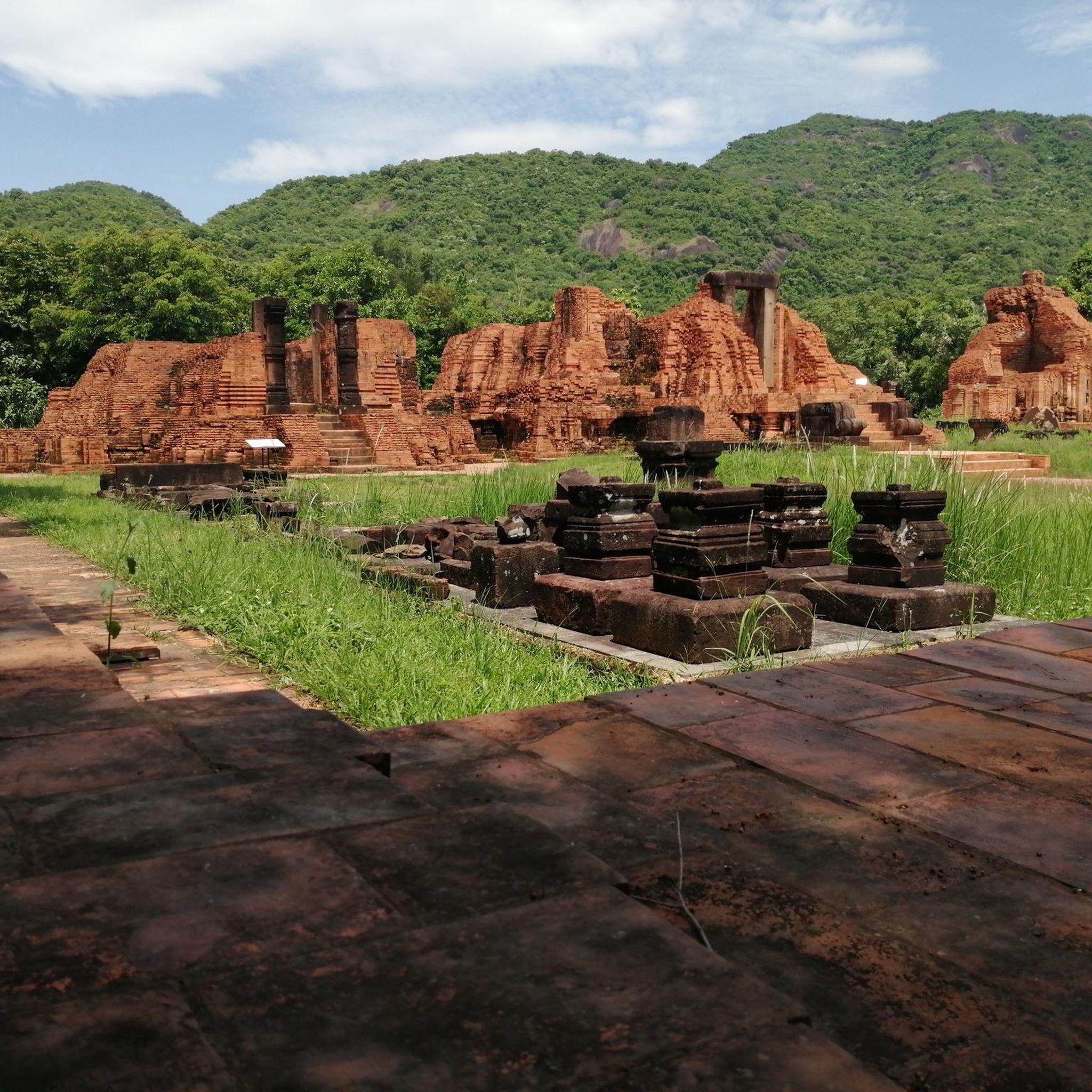
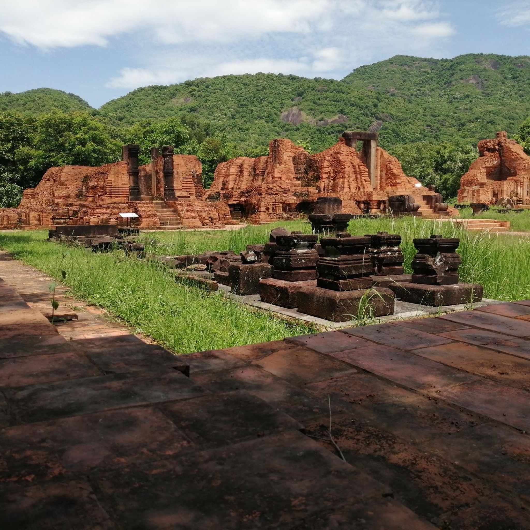
The Truong Son Mountains are steeped in history, notably featuring sections of the historic Ho Chi Minh Trail. This network of roads and paths played a significant role during the Vietnam War and now offers an epic mountain biking experience, combining adventure with cultural and historical significance. Riders can explore varied terrain that traces ridgelines and passes through traditional villages.
What do other mountain bikers enjoy most about the Truong San trails?
The mountain bike trails in the Truong San are highly rated by the komoot community, with an average score of 5.0 stars. Riders often praise the immersive experience of cycling through dense jungles, the varied and challenging terrain, and the opportunity to explore historical routes and natural wonders like waterfalls and caves.
Are there any specific permits required for mountain biking in areas like Phong Nha-Ke Bang National Park?
Yes, for mountain biking within protected areas such as Phong Nha-Ke Bang National Park, permits may be required. It's advisable to check with the park authorities or local tour operators in advance to understand any necessary regulations or fees for accessing trails within the park.
Are there any trails that pass by cafes or places to rest in the Truong San?
Yes, some routes offer opportunities to stop at local establishments. For instance, the Linh Son Pagoda – Em Oi Cafe loop from Da Lat explicitly mentions a cafe in its name, suggesting a convenient spot for a break during your ride. Many trails also pass through small villages where local refreshments might be available.
What is the longest mountain bike trail available in the Truong San?
Among the listed routes, the Phong Nha Botanical Garden loop from visitor center is the longest, covering approximately 44.4 km. This moderate trail offers an extensive ride through varied landscapes, making it suitable for those looking for a longer day out on the bike.
Most popular routes in the Truong San
Most popular attractions in the Truong San

Get inspired with the komoot mobile app


