The best running trails around Santu 'Èngiu/San Gavino Monreale
1.0
(1)
217
runners
51
runs
Jogging routes around Santu 'Èngiu/San Gavino Monreale offer diverse landscapes for runners. The region is characterized by its proximity to mountainous terrain, including Monte Linas, which provides elevation changes and expansive views. Natural features such as waterfalls and green spaces contribute to scenic running environments. This area provides a network of paths suitable for various levels of physical activity.
Best jogging routes around Santu 'Èngiu/San Gavino Monreale
- The most popular jogging route is Genna de Frocciddadas – Punta di Santu…
Last updated: July 4, 2026
1.0
(1)
10
runners
10.0km
01:05
140m
140m
Moderate run. Good fitness required. Mostly paved surfaces. Suitable for all skill levels.
3
runners
9.60km
00:59
20m
20m
Moderate run. Good fitness required. Mostly paved surfaces. Suitable for all skill levels.

Sign up for free
6
runners
17.0km
02:24
810m
810m
Hard run. Very good fitness required. Mostly paved surfaces. Suitable for all skill levels.
4
runners
11.4km
01:14
180m
180m
Moderate run. Good fitness required. Mostly paved surfaces. Suitable for all skill levels.
6
runners
4.01km
00:27
100m
100m
Moderate run. Good fitness required. Mostly paved surfaces. Suitable for all skill levels.
Get access to more routes and recommendations from other explorers.
Sign up for free
Already have an account?
Our route recommendations are based on thousands of hikes, rides, and runs completed by other people on komoot.
Start today with a free account
Your next adventure awaits.
Login or Signup
Popular around Santu 'Èngiu/San Gavino Monreale
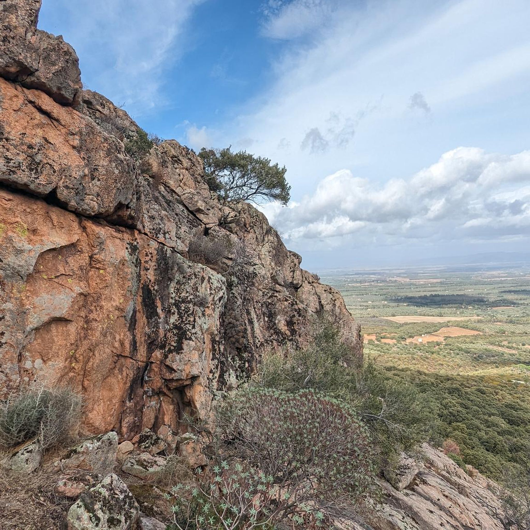

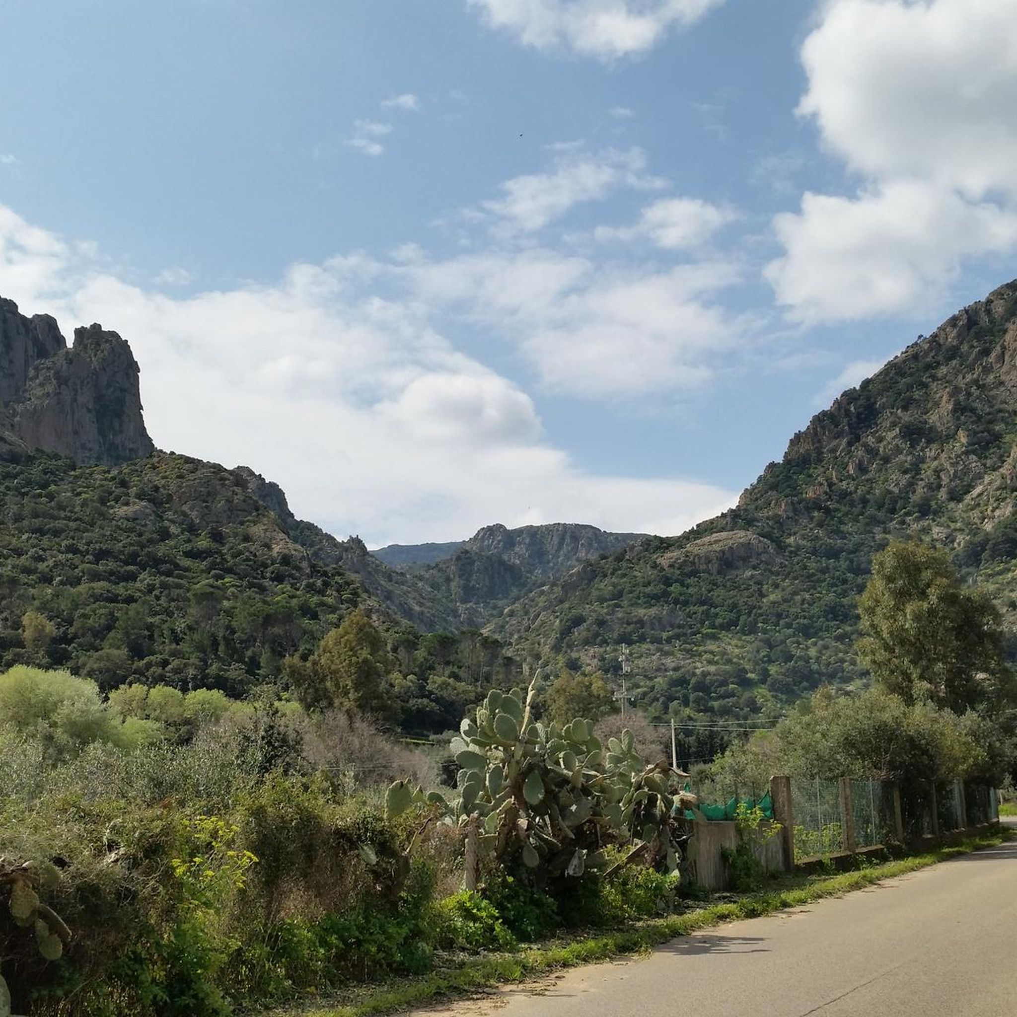
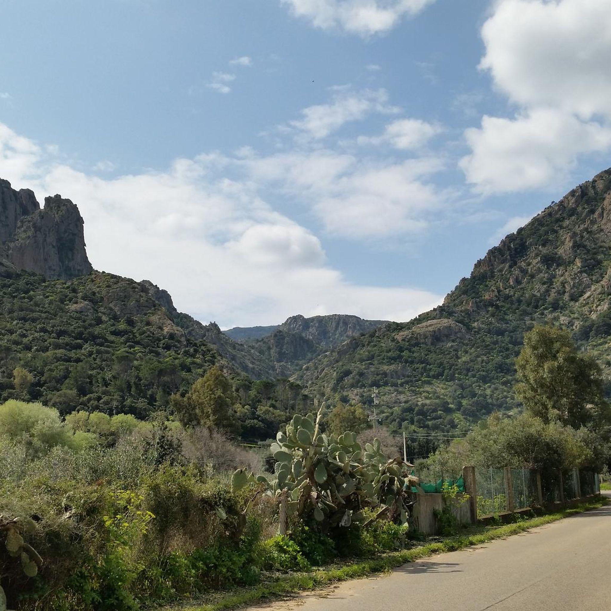
Tips from the Community

With approximately 14,000 inhabitants, Villacidro is one of the main towns in the Medio Campidano region and is located at the foot of the Monte Linas massif, in a green valley surrounded by hills and streams. The town is known for its olive oil, citrus fruits, and cherries, as well as for its strong artisanal and gastronomic traditions. In the historic center, you'll find shops, bars, restaurants, and various accommodation options. Nearby, the Sa Spendula waterfall, one of the town's symbols, and the Canale Serci mine, where tin was mined as far back as the Nuragic era, are worth a visit.
1
0

A few kilometers from the town of Villacidro, on the right of the Rio Leni, extends the suggestive park of San Sisinnio, home to the country church of the same name from which it takes its name.
0
0
Frequently Asked Questions
How many running routes are available in Santu 'Èngiu/San Gavino Monreale?
There are over 35 running routes documented on komoot in the Santu 'Èngiu/San Gavino Monreale area, offering a wide range of options for different fitness levels and preferences.
What kind of terrain can I expect on the jogging trails in this region?
The region around Santu 'Èngiu/San Gavino Monreale offers diverse terrain, from gentle paths in green spaces to more challenging trails in mountainous and hilly areas like Monte Maiori and the Monte Linas range. You'll find a mix of forest paths, open landscapes, and trails within the Historical and Environmental Geo-mining Park of Sardinia.
Are there any easy or beginner-friendly running paths?
Yes, there are several easier options. For instance, the area features 2 easy routes and 19 moderate routes. A good moderate option is the Percorso panoramico loop from Biddacidru/Villacidro, which is 3.6 miles (5.9 km) long and offers scenic views without extreme elevation changes.
Are there challenging routes for experienced runners?
Absolutely. The region is known for its more demanding trails, particularly in the mountainous areas. There are 18 difficult routes available. A notable challenging option is the Genna de Frocciddadas – Punta di Santu Miali loop from Biddacidru/Villacidro, a 14.0-mile (22.6 km) trail with significant elevation gain.
Can I find circular jogging routes in the area?
Yes, many of the running routes in Santu 'Èngiu/San Gavino Monreale are designed as loops, allowing you to start and finish in the same location. Examples include the Percorso panoramico loop from Biddacidru/Villacidro and the Genna s'Uvara – Genna Pirastu loop from Biddacidru/Villacidro.
Are there scenic jogging trails with good views?
Many trails offer beautiful vistas. The proximity to Monte Maiori and Monte Linas means you can find routes with expansive views of the Sardinian landscape. The Percorso panoramico loop from Biddacidru/Villacidro is specifically highlighted for its scenic views.
Can I see any natural landmarks or waterfalls while running?
Yes, the region is home to impressive natural features. The Monte Linas mountain range, for example, features the Cascata Muru Mannu, Sardinia's highest waterfall. You can also find the Sa Spendula Waterfall, which is a notable natural monument in the area.
What historical sites or points of interest can I explore near the running paths?
The area is rich in history. You can find trails that pass near historical sites such as the Montevecchio Mines, part of the Geo-mining Park of Sardinia, or the Giant’s Tomb of Gonnosfanadiga. The Castle of Monreale is also a significant historical landmark in the vicinity.
Are the running routes suitable for families?
While some routes are challenging, there are also easier and moderate paths that can be suitable for families looking for a less strenuous outdoor activity. Look for routes with lower elevation gain and shorter distances, often found in the local green spaces.
Are there shaded routes for jogging during warmer months?
Yes, the presence of Holm Oak forests (Quercus ilex) in the region provides dense canopies, offering shaded paths that are ideal for running during warmer periods. These forests are resistant to drought and offer pleasant conditions.
Is it possible to bring my dog on the running trails?
Many outdoor trails in Sardinia are dog-friendly, but it's always recommended to check local regulations or specific route details on komoot for any restrictions, especially in protected natural areas. Generally, dogs on a leash are welcome on most public trails.
What are the parking options near the jogging trails?
Parking availability varies by trailhead. Many routes starting from towns like Biddacidru/Villacidro or near popular natural attractions will have designated parking areas. It's advisable to check the specific route details on komoot for information on parking facilities at the starting point.
Most popular routes around Santu 'Èngiu/San Gavino Monreale
Most popular attractions around Santu 'Èngiu/San Gavino Monreale

Get inspired with the komoot mobile app


Explore more
Browse the best Running Trails & Routes in other regions.
