The best walks and hikes around Riffian - Rifiano
4.6
(2749)
11,596
hikers
69
hikes
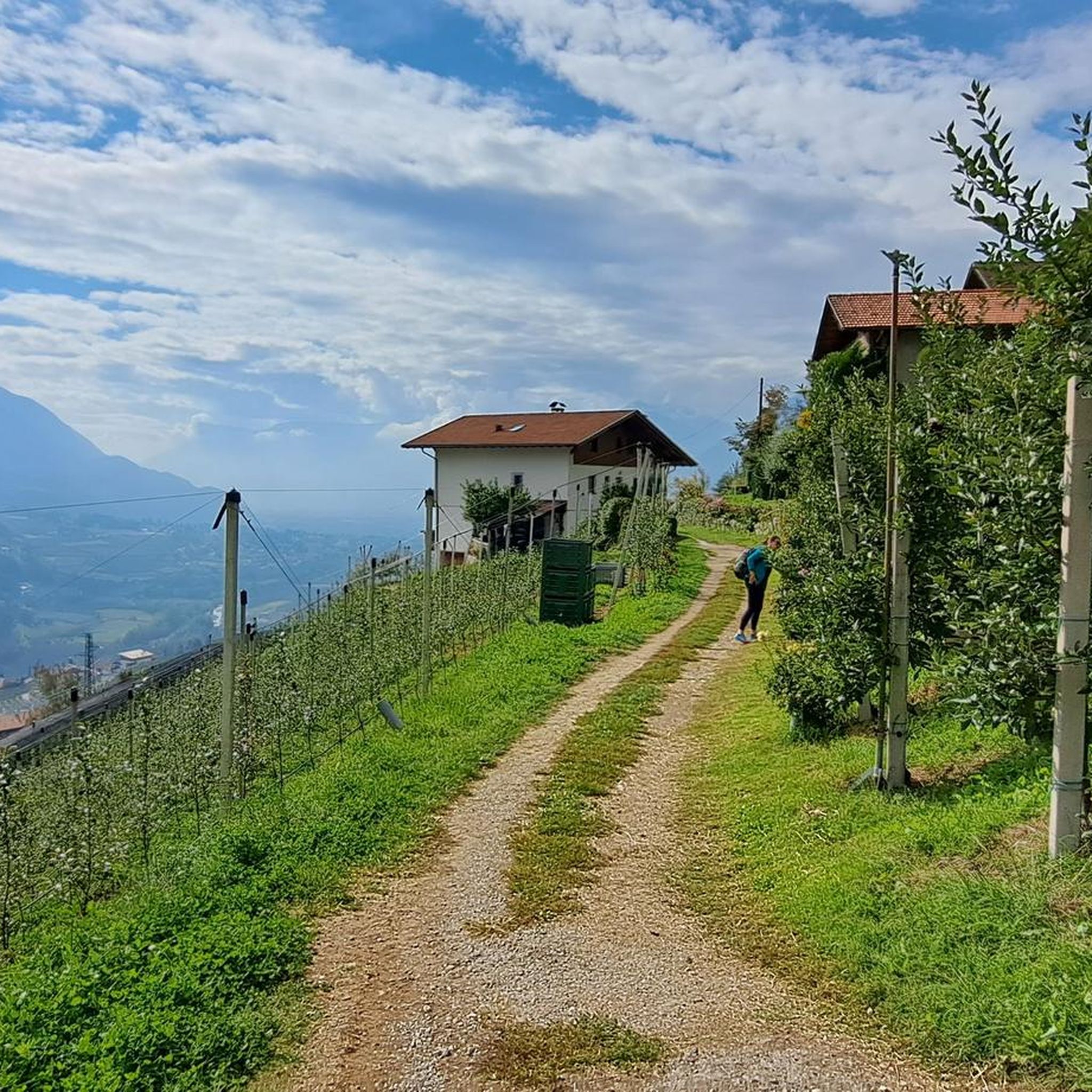
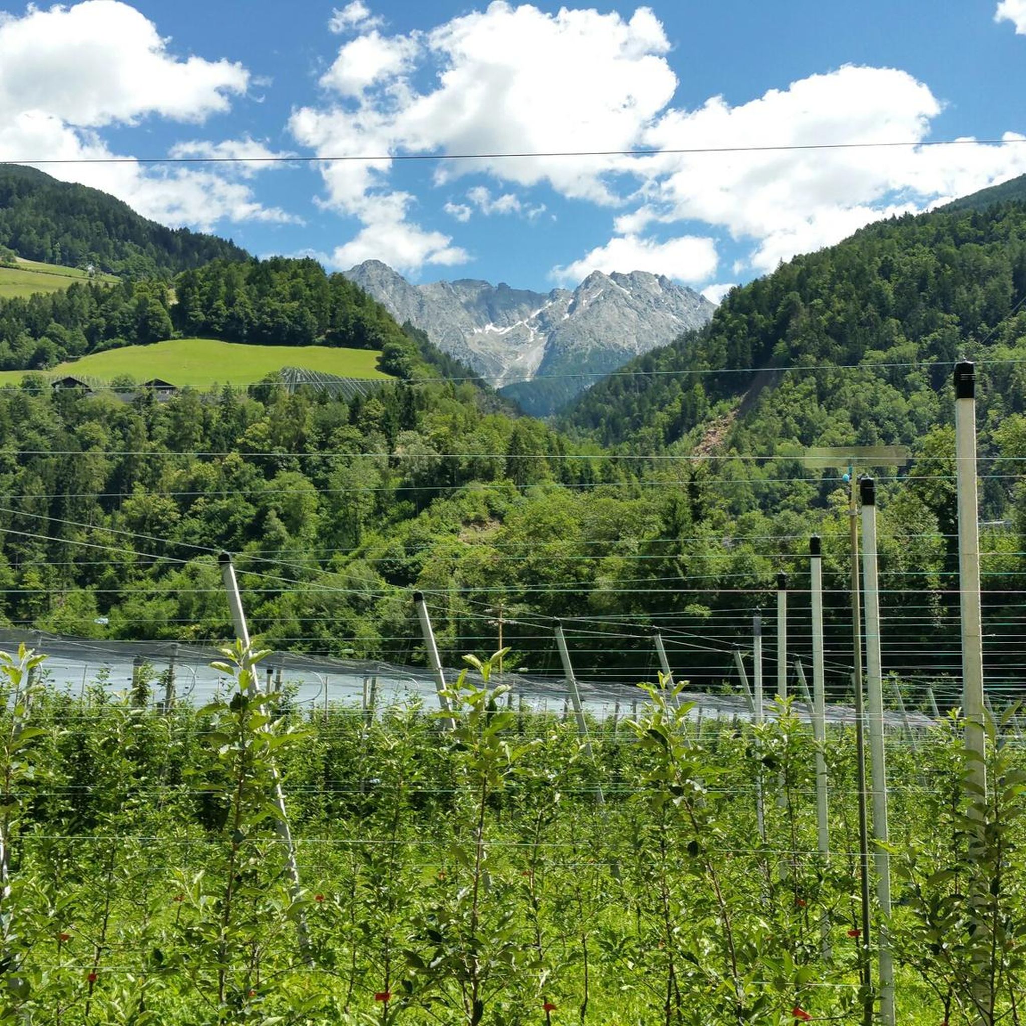
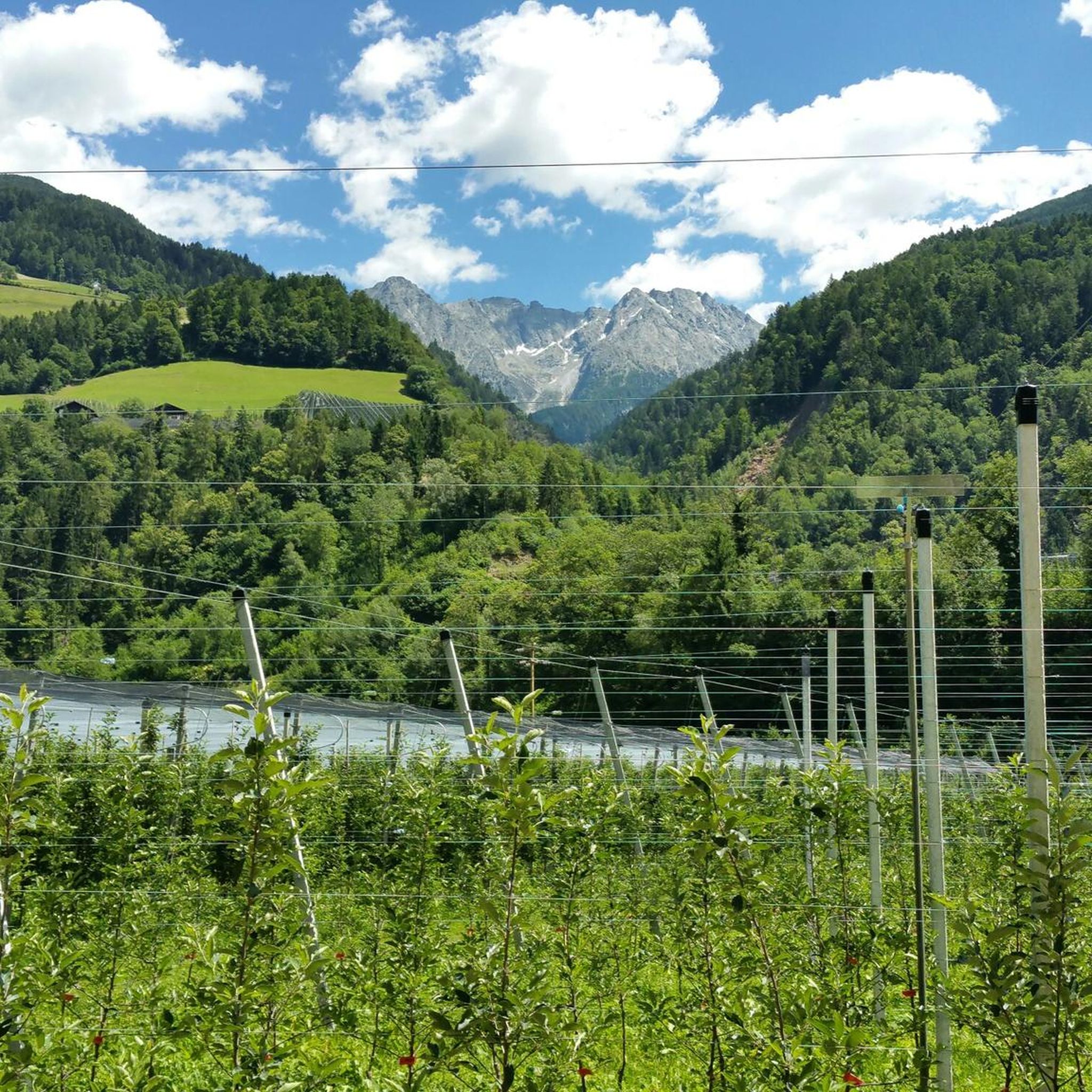
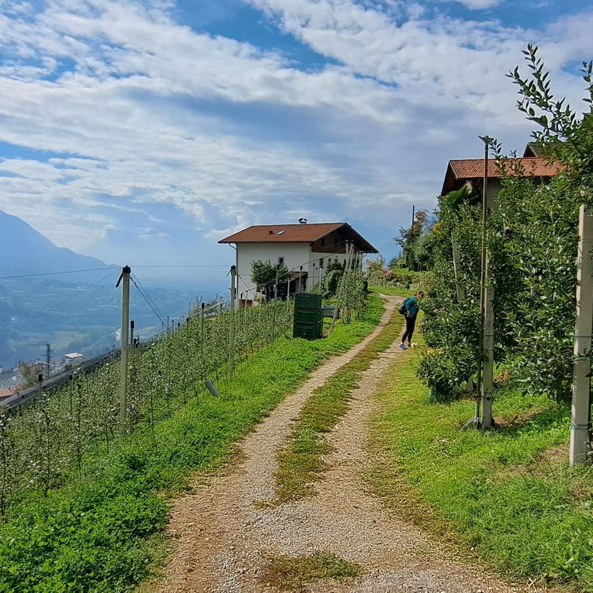
Hiking around Riffian - Rifiano offers diverse terrain in South Tyrol, Italy, situated at 504 meters above sea level on the western side of the Val Passiria. The region is characterized by extensive vineyards and chestnut forests on its south-east oriented terraces, providing picturesque scenery. It is nestled within the Gruppo di Tessa nature park, featuring forests, meadows, and mountain villages at higher elevations. The area benefits from a mild climate where warmer air from Merano meets fresh alpine air.
Best hiking trails around Riffian - Rifiano
- The most popular hiking route is Passeirer Schildhöfeweg - circular hike, a 3.4 miles (5.4 km) trail that takes 1 hour 38 minutes to complete. This easy circular path offers a pleasant walk through the local landscape.
- Another top favourite among local hikers is View of Riffian – Maiser Waalweg loop from Kuens - Caines, a moderate 7.6 miles (12.2 km) path. This route provides scenic views of Riffian and follows a historic Waalweg irrigation channel.
- Local hikers also love the Maiser Waalweg – Maiser Waalweg loop from Saltaus - Saltusio, a 7.5 miles (12.0 km) trail leading through the scenic Waalweg paths, often completed in about 3 hours 29 minutes.
- Hiking around Riffian - Rifiano is defined by its vineyards, chestnut forests, and the alpine environment of the Val Passiria. The network of trails offers options for various ability levels, from easy walks to more challenging ascents.
- The routes in Riffian - Rifiano are highly rated by the komoot community with an average score of 4.6 stars from over 2,400 reviews. More than 10,000 hikers have used komoot to explore Riffian - Rifiano's varied terrain.
Last updated: October 10, 2026
4.4
(364)
1,387
hikers
5.41km
01:38
180m
190m
The Passeirer Schildhöfeweg is an easy circular hike in South Tyrol's Passeier Valley, offering a culturally rich experience. You will hike through diverse landscapes, including meadows, forests, and chestnut groves, with panoramic views of the Hirzergebiet mountains and the entire valley. This route covers 3.4 miles (5.4 km) with an elevation gain of 581 feet (177 metres), taking about 1 hour and 38 minutes to complete at a steady pace.
Starting at the Saltauserhof farm in Saltaus, the trail follows a mix of hiking paths, footpaths, and roads, with some unpaved sections. While generally accessible, you might need to be sure-footed in certain areas. Keep in mind that in winter, some parts of the trail could be covered in snow or ice, and it is not suitable for strollers.
The highlight of the Passeirer Schildhöfeweg is its namesake "Schildhöfe"—medieval noble farms resembling fortresses, dating back to the 14th century. These historic farms feature ivy-entwined towers and frescoes. The trail also functions as a nature and themed path, with information stations explaining chestnut groves, the forest, and the history of the Passeier Valley, offering a journey back over 700 years into the region's past.
4.7
(277)
989
hikers
13.2km
03:47
300m
300m
Moderate hike. Good fitness required. Easily-accessible paths. Suitable for all skill levels.

5
hikers
12.3km
06:14
1,220m
1,220m
Hike the difficult Trail 21 to Speikspitze, a 7.6-mile route in Texel Group Nature Park with 3999 feet of elevation gain.
4.7
(128)
379
hikers
11.3km
03:33
400m
400m
Moderate hike. Good fitness required. Mostly accessible paths. Sure-footedness required.
4.9
(14)
94
hikers
20.3km
07:12
1,010m
990m
Hard hike. Very good fitness required. Mostly accessible paths. Sure-footedness required.
Get access to more routes and recommendations from other explorers.
Already have an account?
Our route recommendations are based on thousands of hikes, rides, and runs completed by other people on komoot.
Start today with a free account
Your next adventure awaits.
Tips from the Community

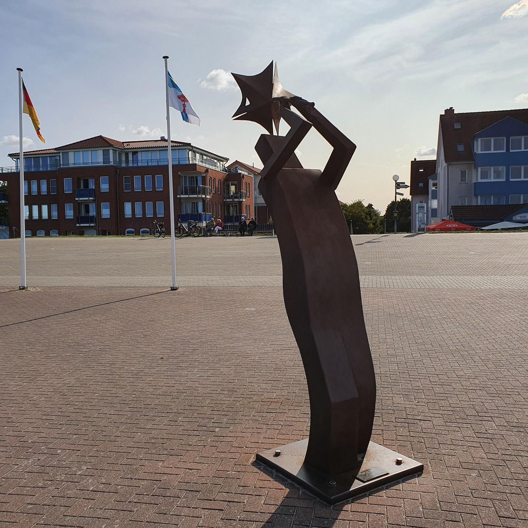
Beautifully designed heart for taking photos
1
0
Beautifully laid out place with a great view of Meran
1
0

Schloss Schenna is one of the most important and most visited castles in South Tyrol. The historic complex is located in the municipality of Schenna, above the spa town of Meran. To this day, it serves as the vibrant residence of the Counts of Meran, descendants of Archduke Johann of Austria.
6
0
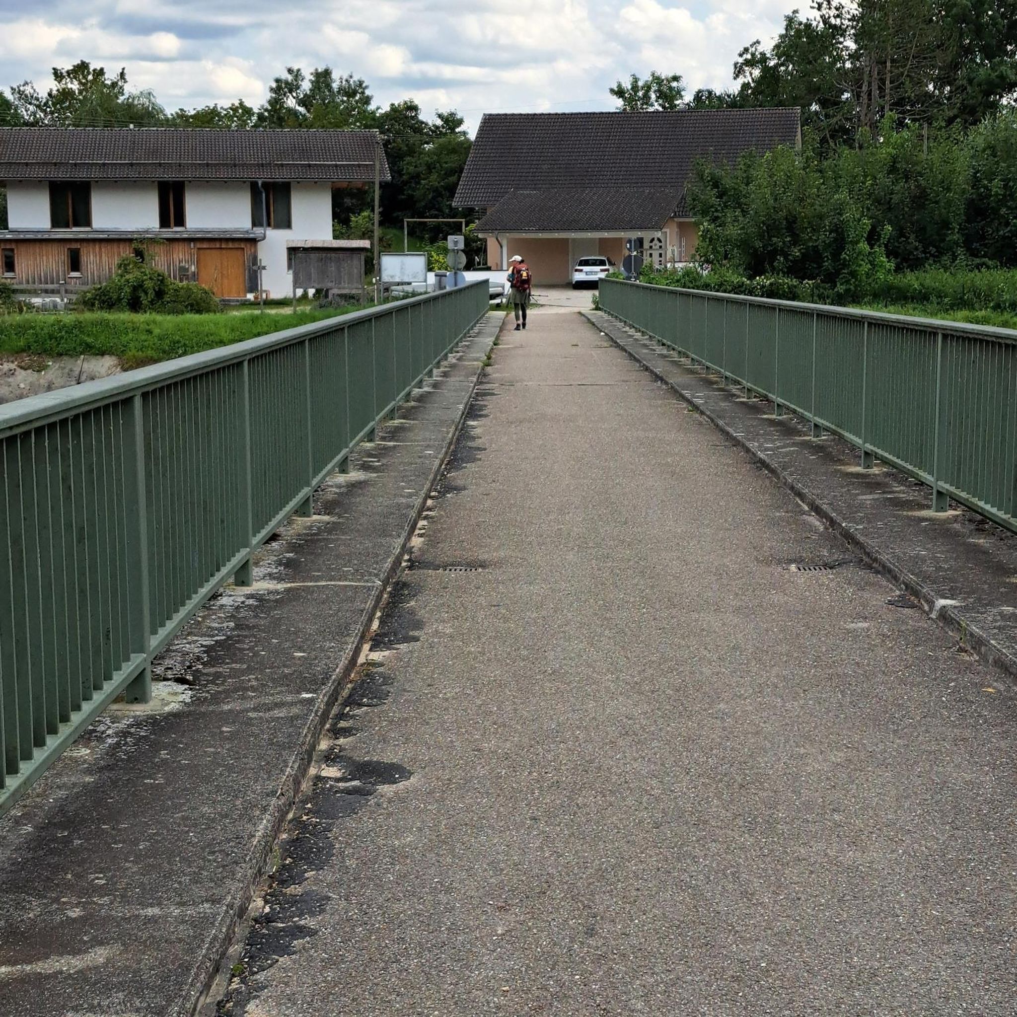
From the bridge that crosses the Passer at this point, there is a magnificent view of the rushing water, as well as the surrounding landscape in the Passeier Valley.
3
0
The house formerly served the "Waaler" as a base to control the watercourse. The Waalschelle (a bell driven by a water wheel) signaled to him by its regular ringing that the water in the canal was flowing undisturbed.
6
0
The Maiser Waalweg is an idyllic and mostly shady panoramic path along historic irrigation channels in South Tyrol. It extends from Saltaus in the Passeier Valley to the Obermais villa district of Meran.
3
0
The Maiser Waalweg is an idyllic and mostly shady panoramic path along historic irrigation channels in South Tyrol. It extends from Saltaus in the Passeier Valley to the villa district of Obermais in Meran.
6
0
The historic canal, built in 1386, is fed by the Finelebach stream from the Texel Group. It carries water during the main season (mid-March to mid-November) and along its approximately 2km open watercourse, there is a beautifully situated hiking trail that runs parallel to the water.
4
0
Frequently Asked Questions
How many hiking trails are available in Riffian - Rifiano?
Riffian - Rifiano offers a wide variety of hiking experiences, with over 60 trails to explore. These include 16 easy routes perfect for leisurely strolls, 36 moderate paths for those seeking a bit more challenge, and 16 difficult trails for experienced hikers looking for demanding ascents.
Are there easy, family-friendly hikes in Riffian - Rifiano?
Yes, Riffian - Rifiano is home to 16 easy hiking routes, many of which are suitable for families. These trails often wind through picturesque vineyards and chestnut forests, offering gentle gradients and beautiful scenery. A great option is the Passeirer Schildhöfeweg - circular hike, which provides a pleasant and accessible walk through the local landscape.
What kind of landscapes can I expect to see while hiking in Riffian - Rifiano?
The region boasts diverse and captivating landscapes. You'll hike through extensive vineyards and lush chestnut forests on south-east oriented terraces, offering picturesque views. The area is nestled within the Gruppo di Tessa nature park, featuring idyllic forests, meadows, and charming mountain villages like Campo, Vernurio, and Gaveis at higher elevations. In winter, the peaks are often snow-covered, adding to the natural beauty.
Are there any circular hiking routes in Riffian - Rifiano?
Yes, Riffian - Rifiano offers several appealing circular routes. For an easy option, consider the Passeirer Schildhöfeweg - circular hike. If you're looking for a moderate challenge with scenic views, the View of Riffian – Maiser Waalweg loop from Kuens - Caines is a popular choice, following a historic irrigation channel.
What are Waalweg paths and can I hike them in Riffian - Rifiano?
Waalweg paths are historic irrigation channels, unique to South Tyrol, that offer relatively flat and scenic walking routes. Riffian - Rifiano is known for its Waalweg paths, such as the popular Rifiano Waalweg Path (Roggia di Rifiano). You can experience these paths on routes like the Maiser Waalweg – Maiser Waalweg loop from Saltaus - Saltusio, which leads through these picturesque channels, often completed in about 3.5 hours.
What are some notable landmarks or viewpoints to discover on hikes in Riffian - Rifiano?
Beyond the natural beauty, Riffian - Rifiano offers several points of interest. You can visit the historic Lady of Sorrows pilgrimage church and a chapel of grace within the village. For stunning vistas, consider routes that lead to viewpoints such as View from Hochmuth of Merano and the Adige Valley or View of Merano from the Piffinger Köpfl. The region also features beautiful lakes like the Black Pond / Pozza Nera Biotope and the Spronser Lakes, which can be incorporated into longer hikes.
Are there challenging hikes for experienced trekkers in the area?
Absolutely. For experienced trekkers, Riffian - Rifiano offers 16 difficult routes with significant elevation gain. An example is the Trail 21 to Speikspitze, which involves over 1200 meters of ascent and descent. Another demanding option is the Obisellalm – Upper Obisell Alm loop from Riffian, Obersthöfe - Rifiano, Obersthöfe, offering over 800 meters of elevation change.
What is the best time of year to go hiking in Riffian - Rifiano?
Riffian - Rifiano benefits from a mild climate where warmer air from Merano meets fresh alpine air, making it pleasant for hiking for much of the year. The spring and autumn months are particularly popular, with the vineyards and chestnut forests displaying vibrant colors. The Rifiano Waalweg Path, for instance, is known for its autumnal atmosphere. Summer offers higher-altitude trekking opportunities in the mountain villages, while winter can bring snow-covered peaks and a different kind of natural beauty.
What do other hikers enjoy most about hiking in Riffian - Rifiano?
The hiking trails in Riffian - Rifiano are highly rated by the komoot community, with an average score of 4.6 stars from over 2,400 reviews. Hikers frequently praise the diverse terrain, from gentle Waalweg paths through vineyards to more challenging alpine ascents, as well as the stunning natural beauty of the Gruppo di Tessa nature park and the mild climate.
Is Riffian - Rifiano accessible by public transport for hikers?
Riffian - Rifiano is well-connected. The Val Passiria cycling path runs through the municipality, indicating good regional connectivity. While specific bus routes for trailheads should be checked locally, the proximity to Merano (just 5 km away) suggests good public transport links to the wider region, making it possible to reach various starting points for hikes.
Are there opportunities for winter hiking in Riffian - Rifiano?
Yes, Riffian - Rifiano offers opportunities for winter hiking. While the higher peaks of the Tessa Group are snow-covered, and snow can sometimes reach the valley, many lower-altitude paths, especially the Waalweg trails, may remain accessible or offer a unique winter experience. It's always advisable to check local conditions and trail accessibility before heading out in winter.
Most popular routes around Riffian - Rifiano
Most popular attractions around Riffian - Rifiano

Get inspired with the komoot mobile app


Explore more
Browse the best Hikes in other regions.
