The best road cycling routes around Treuen
4.7
(346)
3,638
riders
20
rides
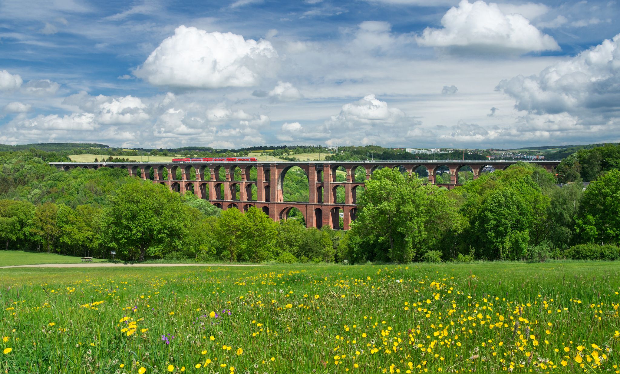
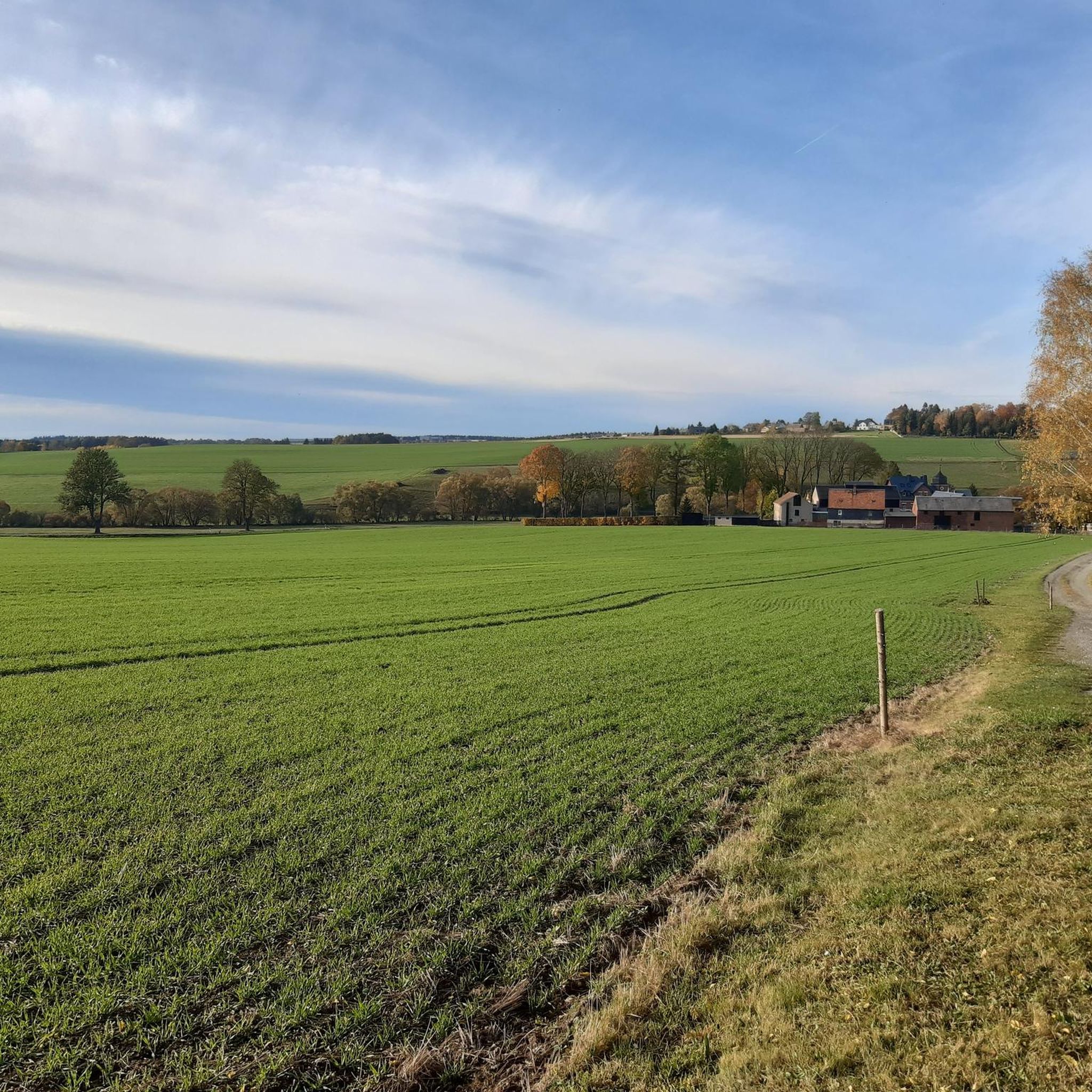
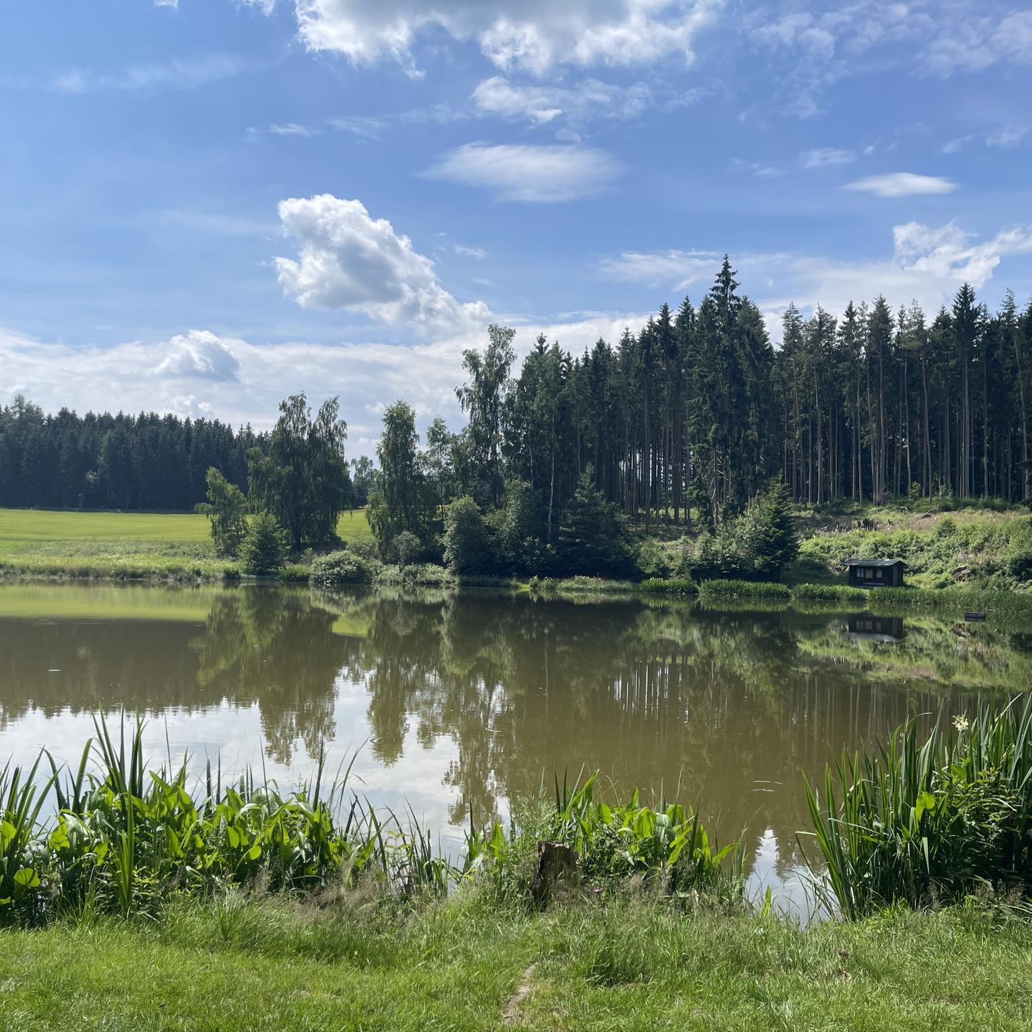
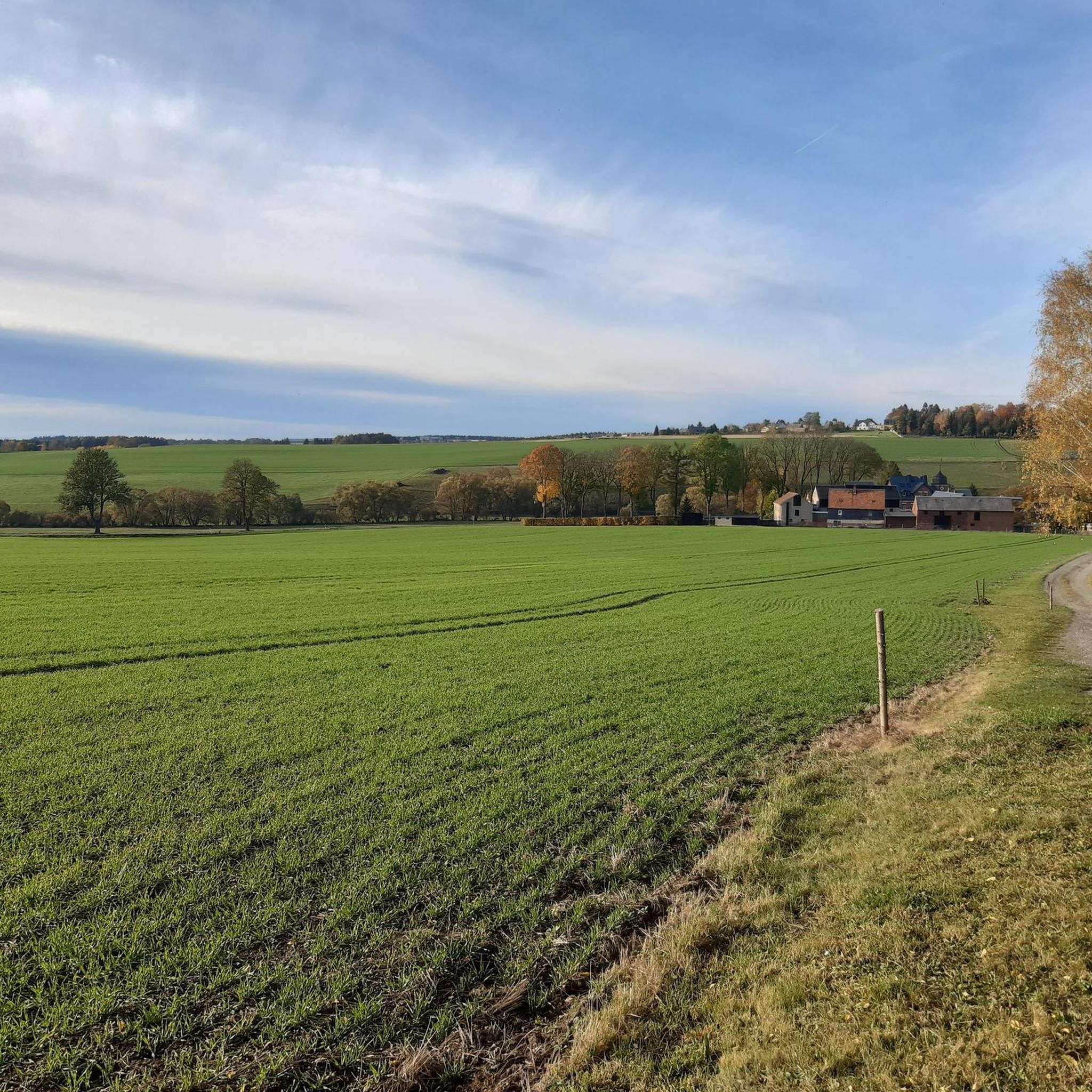
Road cycling around Treuen offers a varied landscape characterized by rolling green hills, dense forests, and serene river valleys such as the Triebtal and Weiße Elster. The region's geographical location provides a scenic backdrop for cycling, featuring impressive architectural landmarks like the Göltzschtal Bridge and Elstertal Bridge. Treuen's network of well-developed cycle paths caters to various fitness levels, from moderate to challenging routes.
Best road cycling routes around Treuen
- The most popular road cycling route is Pöhl Dam – Göltzschtal…
Last updated: October 12, 2026
4.0
(5)
69
riders
57.2km
02:40
700m
700m
Moderate road ride. Good fitness required. Mostly well-paved surfaces and easy to ride.
29
riders
154km
07:39
2,400m
2,400m
Hard road ride. Very good fitness required. Some segments of this route may be unpaved and difficult to ride.

4.8
(12)
46
riders
34.9km
01:36
370m
370m
Moderate road ride. Good fitness required. Mostly well-paved surfaces and easy to ride.
12
riders
119km
06:01
1,940m
1,940m
Hard road ride. Very good fitness required. Some segments of this route may be unpaved and difficult to ride.
7
riders
43.1km
02:10
560m
560m
Moderate road ride. Good fitness required. Mostly well-paved surfaces and easy to ride.
Get access to more routes and recommendations from other explorers.
Already have an account?
Our route recommendations are based on thousands of hikes, rides, and runs completed by other people on komoot.
Start today with a free account
Your next adventure awaits.
Other adventures around Treuen

Tips from the Community

Beautiful reservoir for swimming and also camping.
0
0

The imposing dam of the Pöhl dam is a real highlight and impresses both from above and below 💪. When crossing it, a wide, almost endless view opens up over the lake, while on the other side the valley drops deep down – a great contrast!
7
0

Here the two largest rivers of the Vogtland region merge.
0
0

With every step, closer to the summit – the Fichtelberg climb on the Stoneman Miriquidi Road. From the intersection, it's not far anymore, and motivation gets a final boost.
1
0

The first weather observer on this summit was the innkeeper of the Fichtelberghaus. He recorded his weather observations from 1890 onwards, but from 1898 onwards only intermittently, and from 1910 onwards not at all. The head of the Royal Saxon State Meteorological Observatory, Paul Schreiber, suggested the construction of a permanent weather observatory. Temperature, wind speed, and precipitation amounts have been continuously recorded here since January 1, 1916. The strongest storm recorded here was on January 3, 1976, with a peak gust speed of 216 kilometers per hour. The coldest day on the summit was February 9, 1956, with minus 30.4 degrees Celsius; the warmest was July 27, 1983, with plus 30.8 degrees Celsius. The highest snow cover was measured in March 1944: 3.35 meters. The year 1951 was bad for Fichtelberg tourists: it held the record for foggy days with 315.
13
1

Dam circuit: if you're there, definitely do it. The scenery, the profile, the road surface—everything is top-notch.
0
0

This road takes you along a well-paved road over the ridge and through the forest. If you're carrying the momentum downhill, you'll need to be careful at the junction, as it changes to firm, light gravel for about 300m. After that, there's a barrier. At the next village entrance, there's a constant layer of gravel. In the village of Lange, you can easily bypass the construction site on the left.
0
0

The station is located on the summit next to the Fichtelberghaus, but is not accessible.
5
0
Frequently Asked Questions
How many road cycling routes are available around Treuen?
There are over 20 road cycling routes around Treuen, catering to various fitness levels from moderate to challenging. The komoot community has explored these routes extensively, with over 200 road cyclists using komoot to discover the area.
What kind of terrain can I expect on road cycling routes in Treuen?
Road cycling around Treuen features a varied landscape of rolling green hills, dense forests, and serene river valleys like the Triebtal and Weiße Elster. Routes often incorporate impressive architectural landmarks such as bridges and dams, offering a mix of scenic and engaging terrain.
Are there any challenging road cycling routes with significant elevation gain?
Yes, for experienced cyclists seeking a challenge, routes like the Fichtelberghaus – Fichtelberg Ascent loop from Treuen offer substantial elevation gain, reaching over 2,400 meters across its 153.8 km. Another demanding option is the Hefekloß Pass Summit – Mühlleithen Pass summit (860 m) loop from Treuen, which covers nearly 1,936 meters of ascent over 119.1 km.
What are some notable landmarks or natural features to see along the road cycling routes?
Cyclists can encounter impressive architectural marvels and natural beauty. Highlights include the world's highest brick bridge, the Göltzschtal Bridge, and the Elstertal Bridge. The Pöhl Dam and its reservoir are also prominent features. For natural sights, the Triebtal nature reserve and the Glöckleteiche offer tranquil paths and unspoiled nature. You can also find viewpoints like the Julius Mosen Tower on the Eisenberg.
Are there any family-friendly road cycling options around Treuen?
While specific 'family-friendly' road cycling routes are not detailed, the region offers a network of well-developed cycle paths. For easier rides, consider routes that follow river valleys or explore the less hilly sections. The View of Pöhl Reservoir – Pöhl Dam loop from Treuen is a moderate 35.1 km route with scenic views that might be suitable for families with some cycling experience.
What do other road cyclists enjoy most about road cycling in Treuen?
The road cycling routes in Treuen are highly rated by the komoot community, with an average score of 4.8 stars from over 20 reviews. Cyclists often praise the varied terrain, the scenic backdrop of rolling green hills and dense forests, and the integration of impressive landmarks like the Göltzschtal Bridge and Pöhl Dam into the routes.
Are there any long-distance cycle paths accessible from Treuen?
Yes, Treuen is connected to several renowned long-distance routes. The Elsterradweg runs along the Weiße Elster river, offering scenic riverine cycling. The Kammweg Erzgebirge-Vogtland, a 289-kilometer trail, passes through Treuen, providing breathtaking panoramic views. Additionally, stages of the Vogtland Panorama Trail® and parts of the Saxon Way of St. James are accessible from the area.
Can I find circular road cycling routes starting from Treuen?
Many of the road cycling routes around Treuen are designed as loops, allowing you to start and finish in the same location. For example, the popular Pöhl Dam – Göltzschtal Bridge loop from Treuen is a 57.3 km moderate route that connects two major regional attractions.
What is the best time of year for road cycling in Treuen?
The region's rolling green hills and dense forests are particularly beautiful during spring, summer, and early autumn. These seasons generally offer pleasant weather conditions for road cycling, allowing you to fully enjoy the scenic landscapes and natural features.
Are there any specific viewpoints along the road cycling routes?
Yes, several routes offer opportunities for scenic views. The View of Pöhl Reservoir – Pöhl Dam loop from Treuen provides excellent vistas of the Pöhl Reservoir. Additionally, the Perlaser Aussichtsturm (Perlaser Observation Tower) on Wilhelmshöhe offers beautiful panoramic views of the surrounding area, which can be incorporated into longer rides.
Are there any easier road cycling routes for beginners around Treuen?
While many routes are moderate, there are options suitable for beginners. The region offers a network of well-developed cycle paths, and some routes might have less elevation gain. For instance, the Pöhl Dam – Pöhl Dam loop from Treuen is a moderate 31.4 km route that focuses on the reservoir area, which could be a good starting point for those new to road cycling in the area.
Most popular attractions around Treuen

Get inspired with the komoot mobile app


Explore more
Browse the best Road cycling routes in other regions.
