The 4 Most Amazing Peaks around San Giovanni In Fiore
Best mountain peaks around San Giovanni In Fiore are found within the Sila National Park, a mountainous region in the Calabrian Apennines. San Giovanni in Fiore is situated at an elevation of 1,049 meters, serving as a base for exploring the surrounding peaks. The area is characterized by extensive forests and offers diverse natural landscapes. This location provides access to significant peaks of the Sila Grande and Sila Piccola regions.
Best mountain peaks around San Giovanni in Fiore
- The most…
Last updated: October 17, 2026
Monte Curcio
Highlight • Summit
Translated by Google •
Tip by

Panoramic view from Colle Perilli over Lake Arvo
Highlight • Viewpoint
Translated by Google •
Tip by
Sign up now to discover places like this
Get recommendations on the best single tracks, peaks, & plenty of other exciting outdoor places.
Monte Botte Donato
Highlight • Summit
Translated by Google •
Tip by

Monte Gariglione
Highlight • Summit
Translated by Google •
Tip by
Start today with a free account
Your next adventure awaits.
Popular around San Giovanni In Fiore
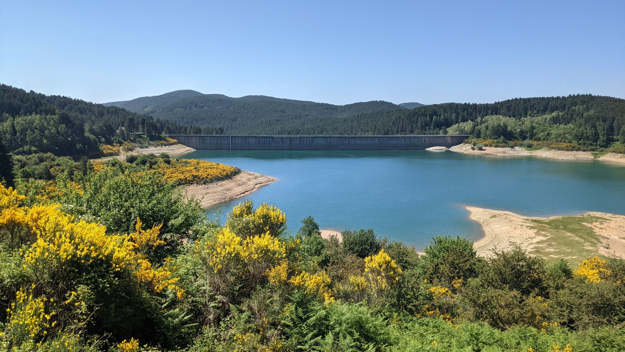
Along the backbone of Calabria – Sentiero Italia
Gaumenfreuden für Genießer – Kulinarische Touren in Kalabrien
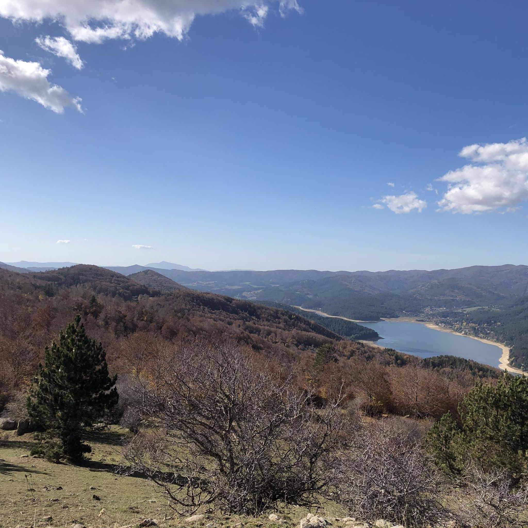
Road Cycling Routes around San Giovanni In Fiore
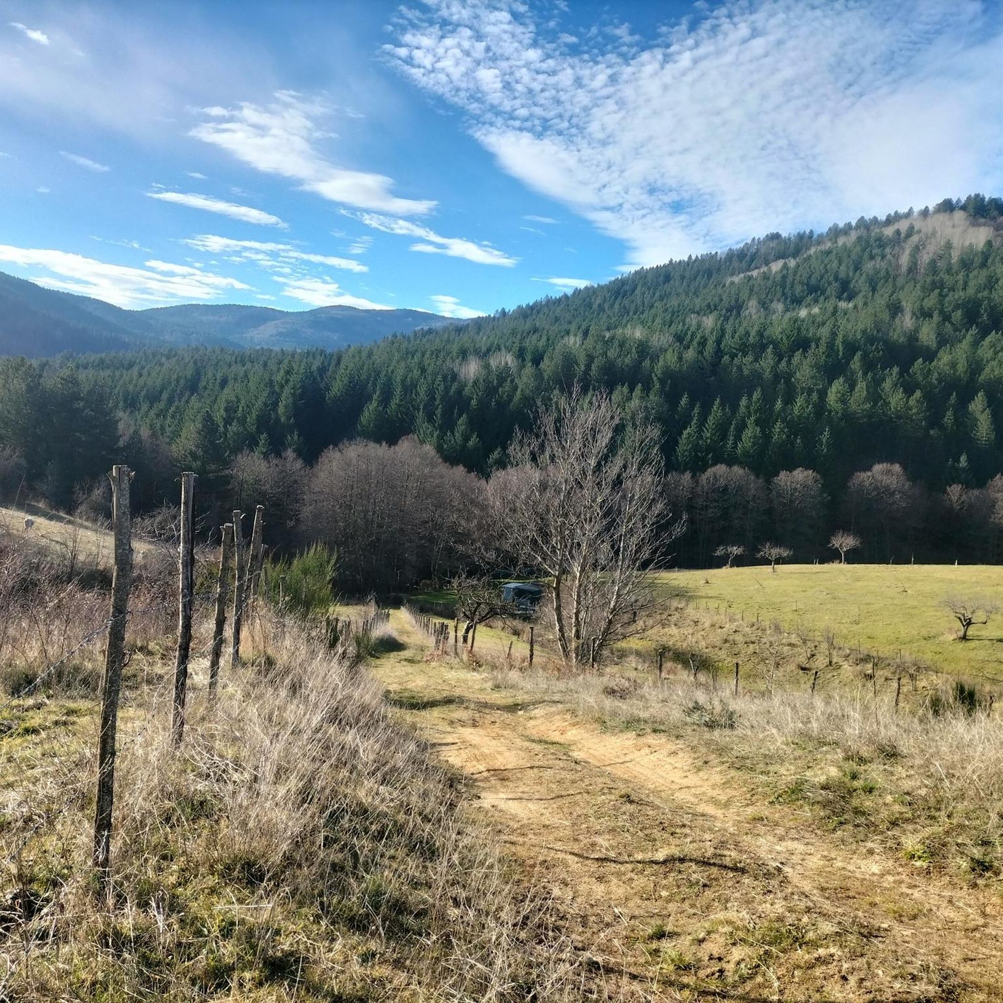
Cycling around San Giovanni In Fiore
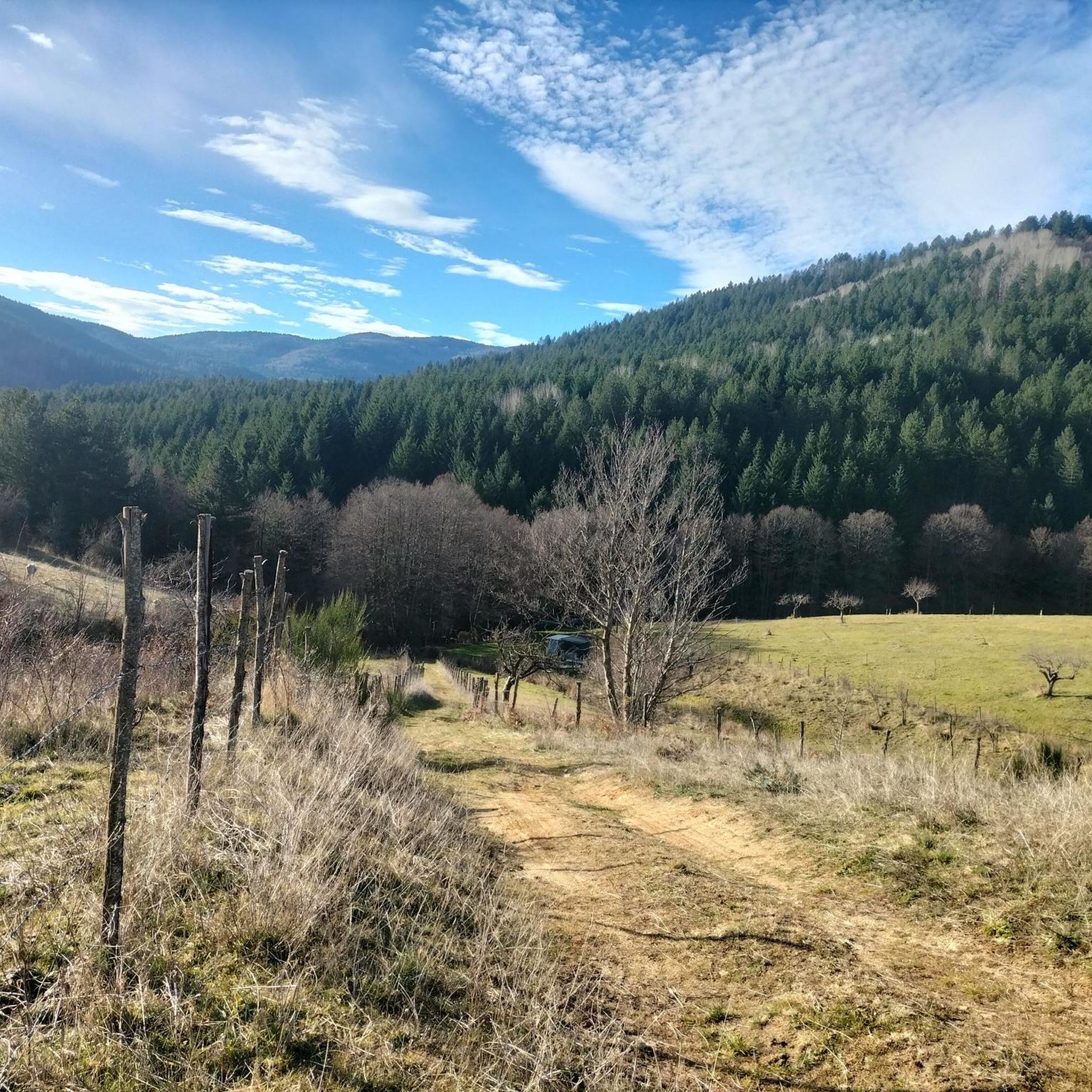
MTB Trails around San Giovanni In Fiore
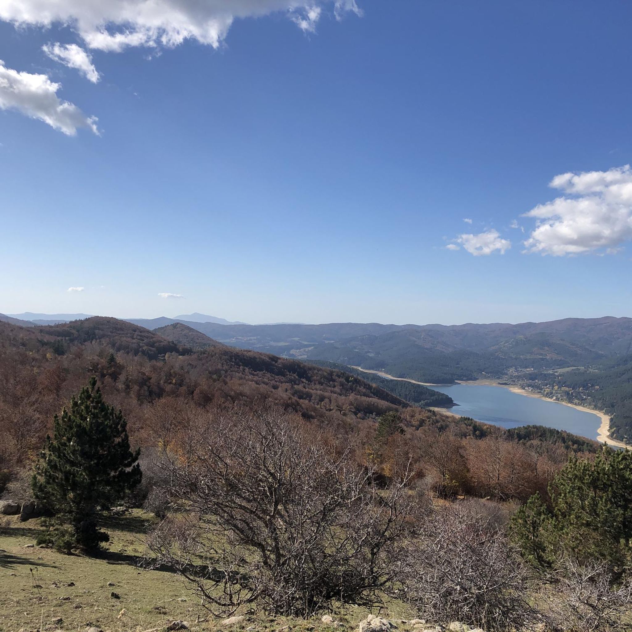
Hiking around San Giovanni In Fiore
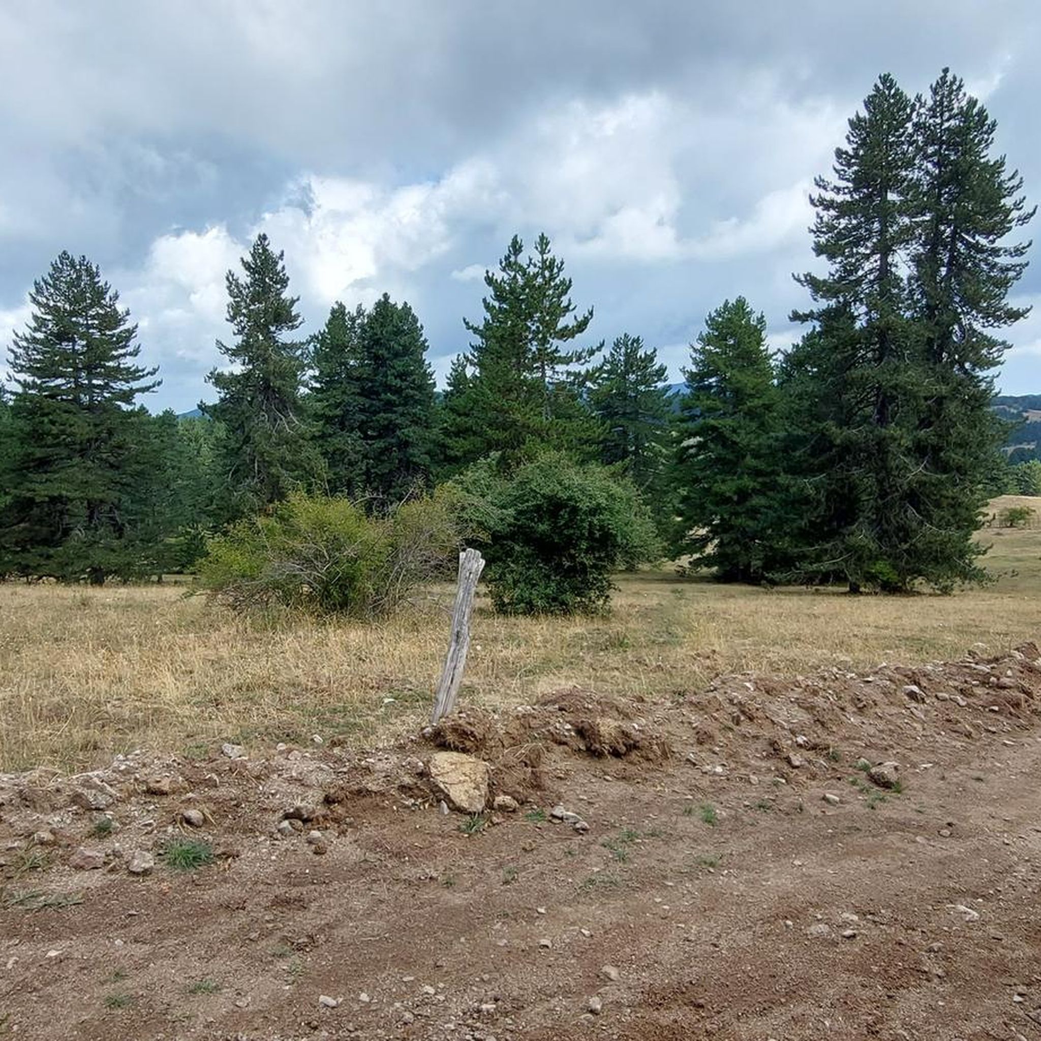
Running Trails around San Giovanni In Fiore


Tips from the Community

Ideal destination for those who want a not-too-challenging trail starting from Camigliatello, along the Camigliati river park with the option of returning via cable car to Tasso (Camigliatello).
0
0

From the summit of Mount Botte Donato
1
0

An easy hike along a marked trail to the summit of Mount Gariglione, at the trigonometric point. Departure is from the former Gariglione barracks.
0
0

Arrival of the Camignatello Silano cable car and descents on its ski slopes
0
0

View of Lake Arvo and Lorica
0
0

with the snow it's beautiful
0
0


The roof of the Sila, the road of the peaks, which crosses it, is a pleasure.
0
0
Frequently Asked Questions
What are the most notable mountain peaks accessible from San Giovanni in Fiore?
San Giovanni in Fiore serves as an excellent base for exploring several significant peaks within the Sila National Park. Key peaks include Monte Botte Donato, the highest peak in Sila National Park, and Monte Gariglione, the highest in Sila Piccola. Another prominent peak is Montenero, known for its expansive views.
What are the highest peaks in the Sila National Park accessible from San Giovanni in Fiore?
The highest peak in the Sila National Park is Monte Botte Donato, reaching 1,928 meters (6,325 ft). Montenero is the second-highest at 1,881 meters (6,171 ft), and Monte Gariglione stands at 1,772 meters (5,814 ft).
Where can I find the best panoramic views of the Sila National Park?
For breathtaking panoramic views, consider hiking to the summit of Monte Botte Donato or Montenero. Another excellent spot is the Panoramic view from Colle Perilli over Lake Arvo, which offers stunning vistas of Lake Arvo and surrounding mountains like Monte Botte Donato and Monte Nero.
Are there family-friendly options for exploring the mountains?
Yes, there are options suitable for families. While some peaks involve intermediate hikes, areas like Monte Gariglione offer marked trails that can be considered easy hikes. Additionally, the Sila National Park features many trails through its extensive forests that are enjoyable for families. You can also take a cable car up to Monte Curcio from Camigliatello Silano, making it easily accessible for all ages.
What is the best time of year to visit the mountain peaks around San Giovanni in Fiore?
The Sila mountains offer distinct experiences throughout the year. Summer (June to September) is ideal for hiking and enjoying the cool environments. Autumn brings vibrant foliage, especially around Monte Gariglione. In winter, areas like Monte Botte Donato (accessible from Lorica) and Monte Gariglione (near Villaggio Palumbo) transform into ski destinations with lifts and slopes.
Are there facilities like huts or restaurants on the mountain peaks?
Yes, some peaks offer facilities. For instance, Monte Curcio has a hut and a restaurant at its summit, accessible via cable car. In winter, ski areas near Monte Botte Donato and Monte Gariglione provide amenities for visitors.
What outdoor activities can I do near these mountain peaks?
Beyond hiking, the region around San Giovanni in Fiore offers a variety of outdoor activities. You can enjoy road cycling on routes like the Lake Arvo and Lake Ampollino Loop, or explore traffic-free bike rides such as the Lorica and Lake Arvo – Monte Botte Donato loop. For more cycling options, check out the Road Cycling Routes around San Giovanni In Fiore or Cycling around San Giovanni In Fiore guides.
Do I need permits to hike in Sila National Park?
Generally, you do not need specific permits for day hiking on marked trails within Sila National Park. However, it's always advisable to check with the Sila National Park Authority for any specific regulations, especially for certain areas or during particular seasons.
What kind of natural features can I expect to see in the Sila mountains?
The Sila mountains are characterized by extensive forests, primarily pine and beech, covering about 80% of the Sila National Park. You'll also encounter beautiful artificial lakes like Lago Arvo and Lago Ampollino, as well as unique geological formations. The region is known for having some of the purest air in Europe.
Are there opportunities for winter sports near San Giovanni in Fiore?
Yes, the Sila National Park is a popular winter sports destination. Monte Botte Donato, accessible from Lorica, features a ski area with approximately 7.5 kilometers of slopes. Similarly, near Monte Gariglione, Villaggio Palumbo offers ski slopes serviced by chairlifts and ski lifts, including options for night skiing.
What makes the Sila National Park unique?
The Sila National Park is unique for its ancient granite, gneiss, and mica schist formations, making it the oldest portion of the Italian peninsula. It boasts extensive, pristine forests, some of the purest air in Europe, and a rich biodiversity. Its combination of high peaks, artificial lakes, and diverse recreational opportunities makes it a distinctive natural gem.
Most popular routes around San Giovanni In Fiore
Most popular attractions around San Giovanni In Fiore

Get inspired with the komoot mobile app


Explore more
See even more amazing summits around San Giovanni In Fiore with these guides:
