The best walks and hikes around Traunreut
4.3
(175)
951
hikers
77
hikes
Hiking around Traunreut offers diverse terrain, from gentle river valleys to the foothills of the Chiemgau Alps. The region is characterized by the confluence of the Alz and Traun rivers, providing idyllic riverside paths, alongside expansive forests and meadows. Nearby Lake Tachingen also features trails along its shores, complementing the more challenging mountain excursions available in the surrounding landscape.
Best hiking trails around Traunreut
- The most popular hiking route is Traun Bridge at Poschmühle – Pertenstein Castle loop from Traunreut…
Last updated: October 14, 2026
4.7
(36)
122
hikers
Moderate hike. Good fitness required. Easily-accessible paths. Suitable for all skill levels.
4.7
(19)
81
hikers
Moderate hike. Good fitness required. Easily-accessible paths. Suitable for all skill levels.

4.6
(9)
24
hikers
11.4km
03:07
170m
170m
Moderate hike. Good fitness required. Easily-accessible paths. Suitable for all skill levels.
2.8
(4)
22
hikers
Easy hike. Great for any fitness level. Easily-accessible paths. Suitable for all skill levels.
4.0
(4)
20
hikers
Moderate hike. Good fitness required. Easily-accessible paths. Suitable for all skill levels.
Get access to more routes and recommendations from other explorers.
Already have an account?
Our route recommendations are based on thousands of hikes, rides, and runs completed by other people on komoot.
Start today with a free account
Your next adventure awaits.
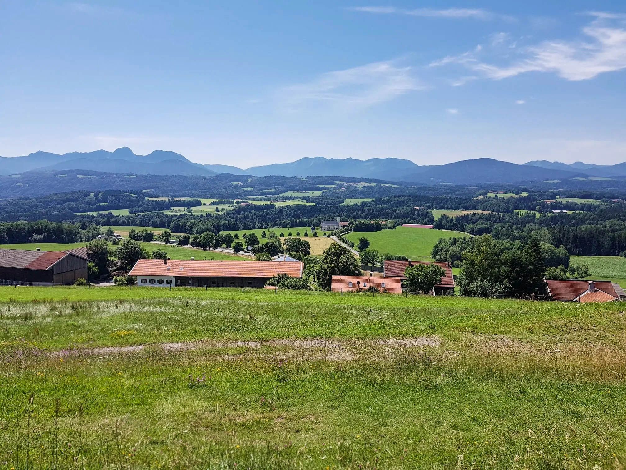
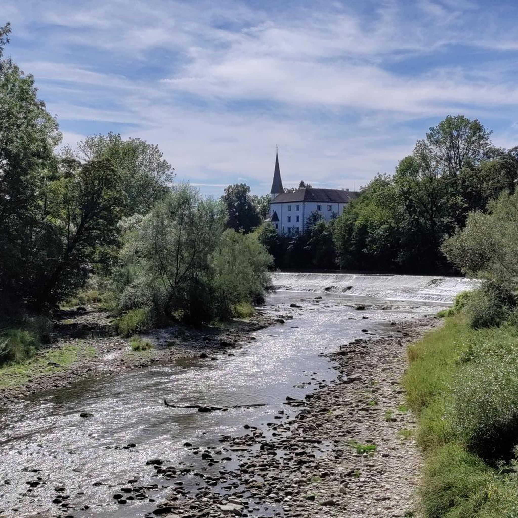
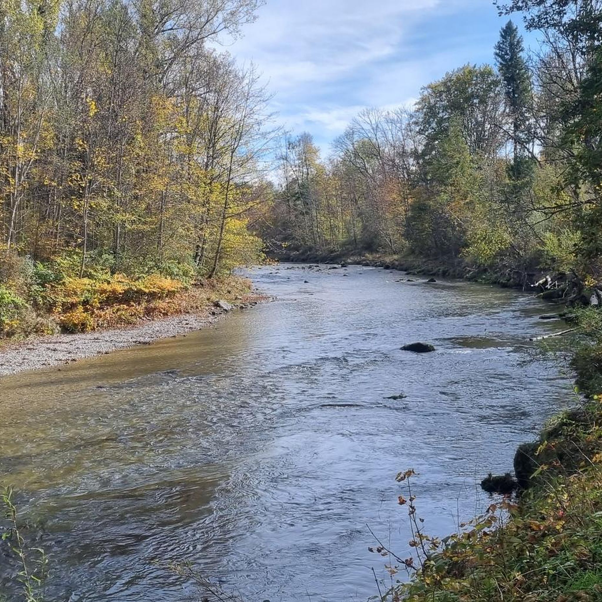
Other adventures around Traunreut

Tips from the Community

Located in the center of Hörzing
5
0
Only hotel guests are catered for there
5
0
Small but nice chapel
5
0

There's now a steel ramp here. You should still dismount, as the railing is very low.
1
0

Pure nature
2
0

Beautiful view of the Traun and Pertenstein Castle.
0
0
Located above the castle
6
0
Frequently Asked Questions
How many hiking trails are available around Traunreut?
There are over 70 hiking trails around Traunreut, offering a wide range of options for different skill levels. You'll find 46 easy routes, 27 moderate trails, and 2 more challenging hikes.
What kind of terrain can I expect on hikes near Traunreut?
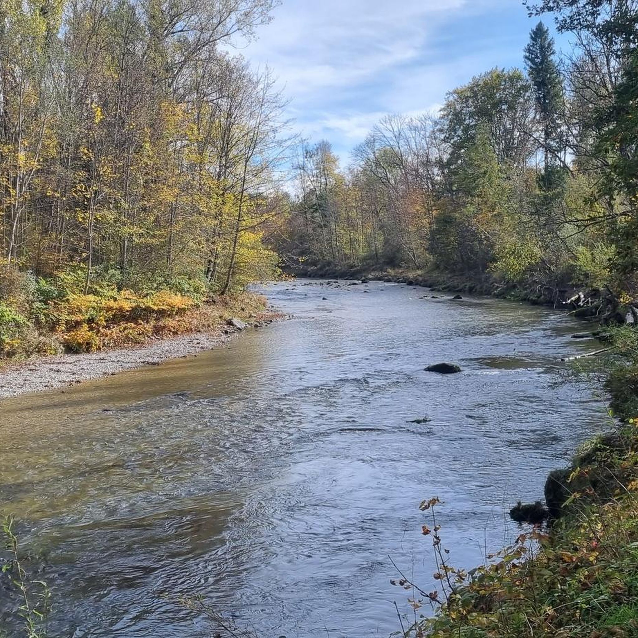
The terrain around Traunreut is quite diverse. You can expect gentle paths along the Alz and Traun rivers, expansive forests, and green meadows. For more challenging hikes, the foothills of the Chiemgau Alps are also accessible, offering mountain views and varied landscapes.
Are there easy or family-friendly hiking options in Traunreut?
Yes, many trails are suitable for families and beginners. The riverside paths along the Alz and Traun are generally flat and well-marked. For example, the area around Lake Tachingen offers pleasant walks along its shores, perfect for a relaxed outing.
Can I bring my dog on the hiking trails around Traunreut?
Most hiking trails around Traunreut are dog-friendly, especially those through forests and along river valleys. It's always recommended to keep your dog on a leash, particularly in nature reserves or areas with livestock, and to carry water for them.
Are there any circular hiking routes near Traunreut?
Yes, many routes are designed as circular walks. A popular option is the Traun Bridge at Poschmühle – Pertenstein Castle loop from Traunreut, which is a moderate 6.6-mile (10.6 km) trail. Another is the Chapel at Schneckenberg – Posch Mill loop from Hörpolding, offering scenic views.
What natural features or landmarks can I see while hiking?
You'll encounter several natural and historical highlights. The confluence of the Alz and Traun rivers is a notable natural feature. You can also visit historical sites like Pertenstein Castle or the unique Stein an der Traun Cave Castle. The Steiner Bräustüberl – Alz Waterfall in Altenmarkt loop from Stein (Traun) specifically leads to a waterfall.
When is the best time of year to go hiking in Traunreut?
The best seasons for hiking in Traunreut are spring and autumn. In spring, you can enjoy blossoming plants and mild temperatures. Autumn offers vibrant colors in the forests, creating a visually rich experience. While some trails are suitable for winter, spring and autumn provide the most pleasant conditions.
Are there options for more challenging mountain hikes?
While Traunreut itself is in a flatter region, its proximity to the Chiemgau Alps provides opportunities for more challenging mountain hikes. Peaks like the Hochfelln (1,674 meters) are within reach for experienced hikers seeking adventurous climbs and panoramic views.
Where can I find parking for hiking trails in Traunreut?
Many trailheads and popular starting points for hikes around Traunreut, especially near villages or attractions like Kloster Baumburg or Schloss Pertenstein, offer designated parking areas. Specific parking information is often available on individual route descriptions.
What do other hikers say about the trails in Traunreut?
The hiking routes in Traunreut are highly rated by the komoot community, with an average score of 4.4 stars from over 130 reviews. Hikers often praise the varied landscapes, from serene river paths to historical sites, and the well-maintained trails suitable for different abilities.
What is the typical length of hikes around Traunreut?
Hikes around Traunreut vary in length. Many popular routes are moderate day hikes, typically ranging from 5 to 7 miles (8 to 11 km). For instance, the Confluence of Alz and Traun – Höhenburg Stein loop from Stein an der Traun is 5.3 miles (8.6 km), while the Steiner Bräustüberl – Alz Waterfall in Altenmarkt loop from Stein (Traun) is 7.1 miles (11.4 km).
Can I find places to eat or drink along the trails?
Yes, some hiking routes pass through or near villages where you can find cafes, pubs, or traditional Bavarian eateries. Historical sites like Kloster Baumburg or the area around Stein an der Traun often have options for refreshments, allowing you to combine your hike with a culinary stop.
Most popular routes around Traunreut
Most popular attractions around Traunreut

Get inspired with the komoot mobile app


Explore more
Browse the best Hikes in other regions.
