The best walks and hikes around Petilia Policastro
4.4
(55)
154
hikers
30
hikes
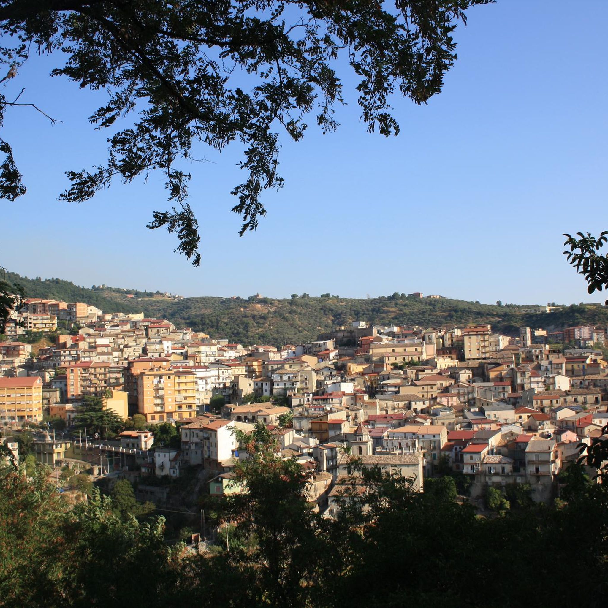
Hiking around Petilia Policastro offers access to diverse natural environments within the Sila Piccola region of the Sila National Park. The area is characterized by mountainous terrain, extensive forests of beech and black pine, and significant natural features. Monte Gariglione, standing at 1765 meters, is a prominent peak surrounded by tall trees, providing numerous hiking opportunities. The region's trails traverse varied landscapes, including forest paths and areas near Lake Ampollino.
Best hiking trails around Petilia Policastro
- The most popular hiking…
Last updated: July 7, 2026
5.0
(3)
6
hikers
5.41km
01:31
100m
110m
Embark on the Monte Gariglione Loop Trail, an easy hiking route that takes you through the dense, untouched forests of Sila National Park. This pleasant 3.4-mile (5.4 km) loop offers…
3.6
(10)
25
hikers
8.78km
02:38
240m
240m
Hike a moderate 5.5-mile (8.8 km) ring tour in Sila National Park with 778 feet (237 metres) of elevation gain, taking about 2 hours and 38

Sign up for free
4.6
(5)
14
hikers
Moderate hike. Good fitness required. Easily-accessible paths. Suitable for all skill levels.
4.6
(5)
5
hikers
5.24km
01:28
100m
100m
Easy hike. Great for any fitness level. Easily-accessible paths. Suitable for all skill levels.
5.0
(1)
6
hikers
13.9km
03:48
220m
220m
Moderate hike. Good fitness required. Easily-accessible paths. Suitable for all skill levels.
Get access to more routes and recommendations from other explorers.
Sign up for free
Already have an account?
Our route recommendations are based on thousands of hikes, rides, and runs completed by other people on komoot.
Start today with a free account
Your next adventure awaits.
Login or Signup

Tips from the Community

Some things cannot be described, you have to experience them
0
0

An easy hike along a marked trail to the summit of Mount Gariglione, at the trigonometric point. Departure is from the former Gariglione barracks.
0
0

This tree is an aspen, also called "popula." This name comes from the shape of the stem to which the leaves are attached. The flattened shape of the stem allows for greater movement of the leaves, which, in the wind, generate a gentle rustling sound similar to the unanimous voices of a people.
1
0

Piciaro torrent waterfalls, beautiful fresh water even in summer.
0
0

They meet on the Monte Gariglione ring, a beautiful place
1
0

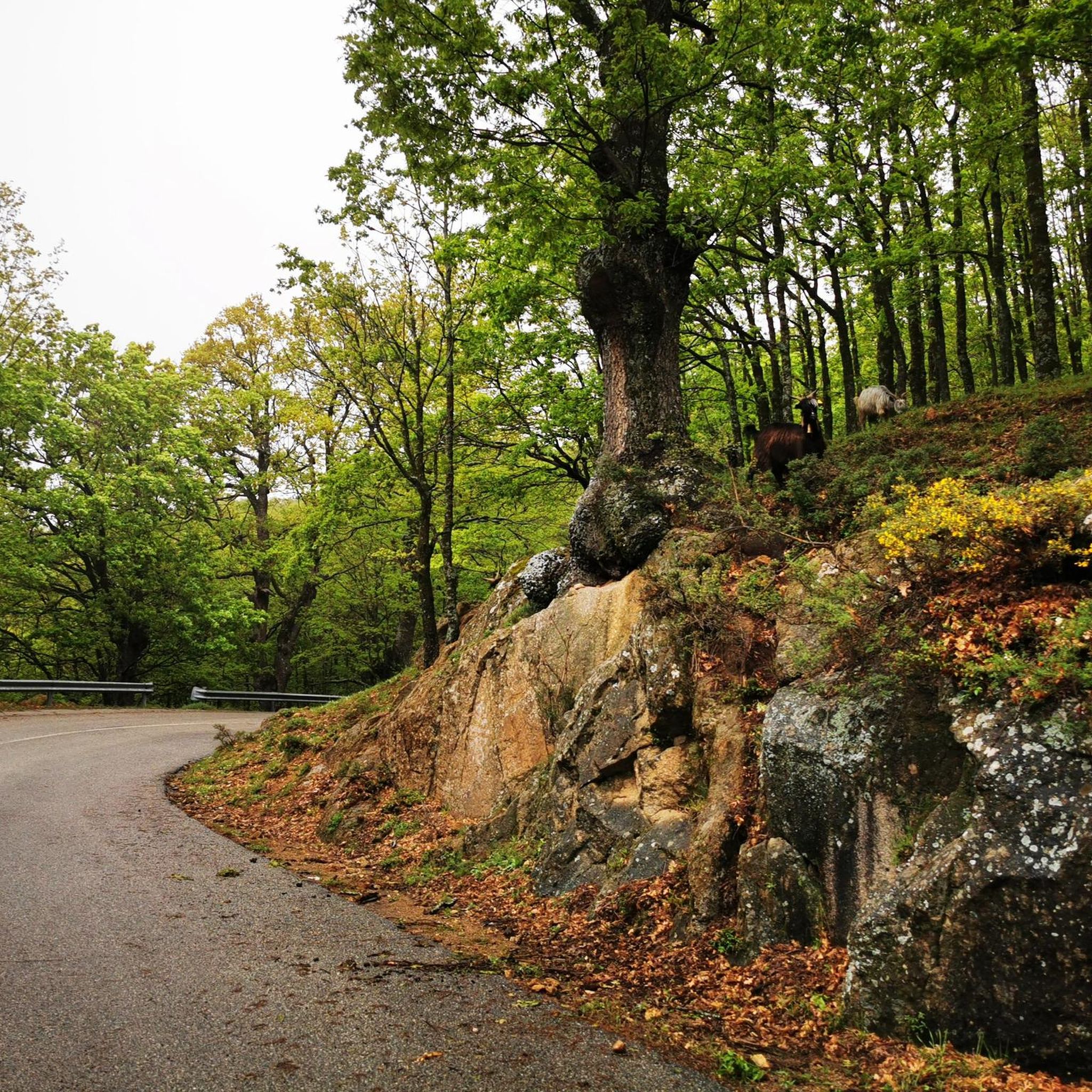
Monte Gariglione is the highest mountain of the Sila Piccola, and is located at 1765 m. The relief is surrounded by tall trees, mainly beech and larch pine.
1
0
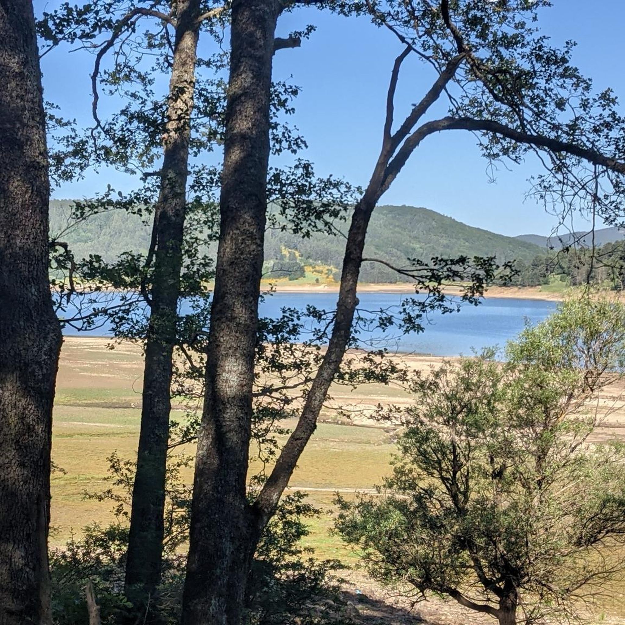
View of Villaggio Palumbo Sila, one of the mountain tourist villages around Lake Ampollino. It is the most important tourist village in the area, with a wide choice of recreational services.
2
0
Frequently Asked Questions
How many hiking trails are available around Petilia Policastro?
There are nearly 30 hiking routes available around Petilia Policastro. These include a diverse range of trails, with 10 easy, 12 moderate, and 5 difficult options to suit various fitness levels.
What kind of terrain can I expect on hikes near Petilia Policastro?
Hiking around Petilia Policastro primarily features mountainous terrain and dense forests, characteristic of the Sila Piccola region within the Sila National Park. You'll find paths winding through extensive beech and black pine forests, with some routes offering views of Lake Ampollino and leading to prominent peaks like Monte Gariglione.
Are there any easy, circular walks suitable for beginners or families?
Yes, there are several easy, circular walks. For instance, the Monte Gariglione Loop Trail is an easy 5.4 km loop through ancient forests with a gentle elevation gain. Another option is the Forest loop from Trepidò Sottano, which is also an easy 5.2 km route.
Can I find trails with waterfalls near Petilia Policastro?
Absolutely. The region is known for its beautiful waterfalls. You can explore routes that pass by natural attractions like the Campanaro Waterfall and the Cascata del Piciaro. The Cascata del Piciaro – Gariglione Summit loop specifically includes a waterfall view.
What are some notable natural landmarks or viewpoints to see while hiking?
Hikers can discover several significant natural landmarks. The summit of Monte Gariglione offers expansive views as the highest point in Sila Piccola. You can also visit the Lago Ampollino Dam for picturesque lake scenery or explore the Tacina Valley.
Are there any trails suitable for families with children?
Yes, several trails are suitable for families. Easy, shorter loops like the Monte Gariglione Loop Trail or the Cycle Path Along the Lake loop from Villaggio Baffa (which is also suitable for hiking) are great options for families due to their manageable distances and gentle elevation changes.
What do other hikers say about the trails in Petilia Policastro?
The trails around Petilia Policastro are highly regarded by the komoot community, with an average rating of 4.4 stars from over 50 reviews. Hikers often praise the pristine nature, the diverse landscapes, and the well-maintained paths that cater to various skill levels.
Are there any trails that offer views of Lake Ampollino?
Yes, some routes provide scenic views of Lake Ampollino. The Cycle Path Along the Lake loop from Villaggio Baffa is an easy route that runs along the lakeside, offering beautiful vistas of the crystal-clear waters framed by lush forests.
What is the best time of year to go hiking in Petilia Policastro?
The Sila National Park region, including Petilia Policastro, is generally best for hiking from spring through autumn. During these seasons, the weather is milder, and the forests are lush. Summer offers pleasant temperatures at higher altitudes, while spring and autumn showcase vibrant foliage. Winter hiking is possible but may require appropriate gear for snow and colder conditions, especially at higher elevations like Monte Gariglione.
Are there any trails that lead to a summit?
Yes, you can hike to the summit of Monte Gariglione, the highest mountain in Sila Piccola. The Cascata del Piciaro – Gariglione Summit loop is a moderate trail that leads towards the 1659 m summit, offering rewarding views.
Are there any unique geological features to explore on the trails?
Beyond the mountainous terrain, the area is known for its karst caves, some reaching depths of 100 meters with underground streams. Additionally, you can find the Sulphur Hot Springs of Bruciarello, which are a unique natural monument in the region.
Most popular attractions around Petilia Policastro

Get inspired with the komoot mobile app


Explore more
Browse the best Hikes in other regions.
