The best running trails around Gerola Alta
4.4
(120)
5,909
runners
224
runs
Jogging around Gerola Alta offers diverse landscapes within the Parco delle Orobie Valtellinesi, characterized by its high-altitude environment and varied terrain. The region features a mix of lush forests, expansive green meadows, and dramatic rocky peaks, providing refreshing conditions for physical activity. Joggers can explore routes that transition from deciduous to coniferous forests, encounter serene open spaces, and pass by beautiful alpine lakes. The area's elevation, with Gerola Alta itself at 1050 meters, ensures a challenging and scenic experience for…
Last updated: June 23, 2026
18
runners
16.2km
03:50
1,230m
1,230m
Hard run. Very good fitness required. Sure-footedness, sturdy shoes and alpine experience required.
13
runners
13.3km
02:38
890m
890m
Hard run. Very good fitness required. Sure-footedness, sturdy shoes and alpine experience required.

Sign up for free
6
runners
10.8km
02:23
840m
840m
Hard run. Very good fitness required. Sure-footedness, sturdy shoes and alpine experience required.
4
runners
12.6km
02:39
1,080m
1,080m
Hard run. Very good fitness required. Sure-footedness, sturdy shoes and alpine experience required.
50
runners
9.36km
01:21
600m
600m
Hard run. Very good fitness required. Sure-footedness, sturdy shoes and alpine experience required.
Get access to more routes and recommendations from other explorers.
Sign up for free
Already have an account?
Our route recommendations are based on thousands of hikes, rides, and runs completed by other people on komoot.
Start today with a free account
Your next adventure awaits.
Login or Signup
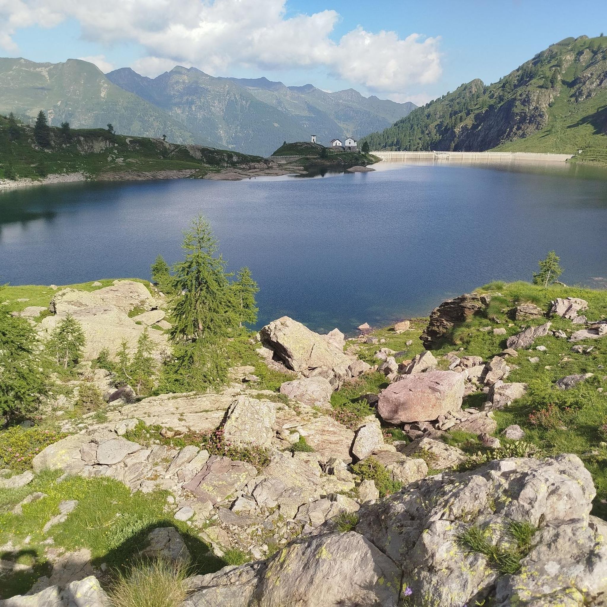
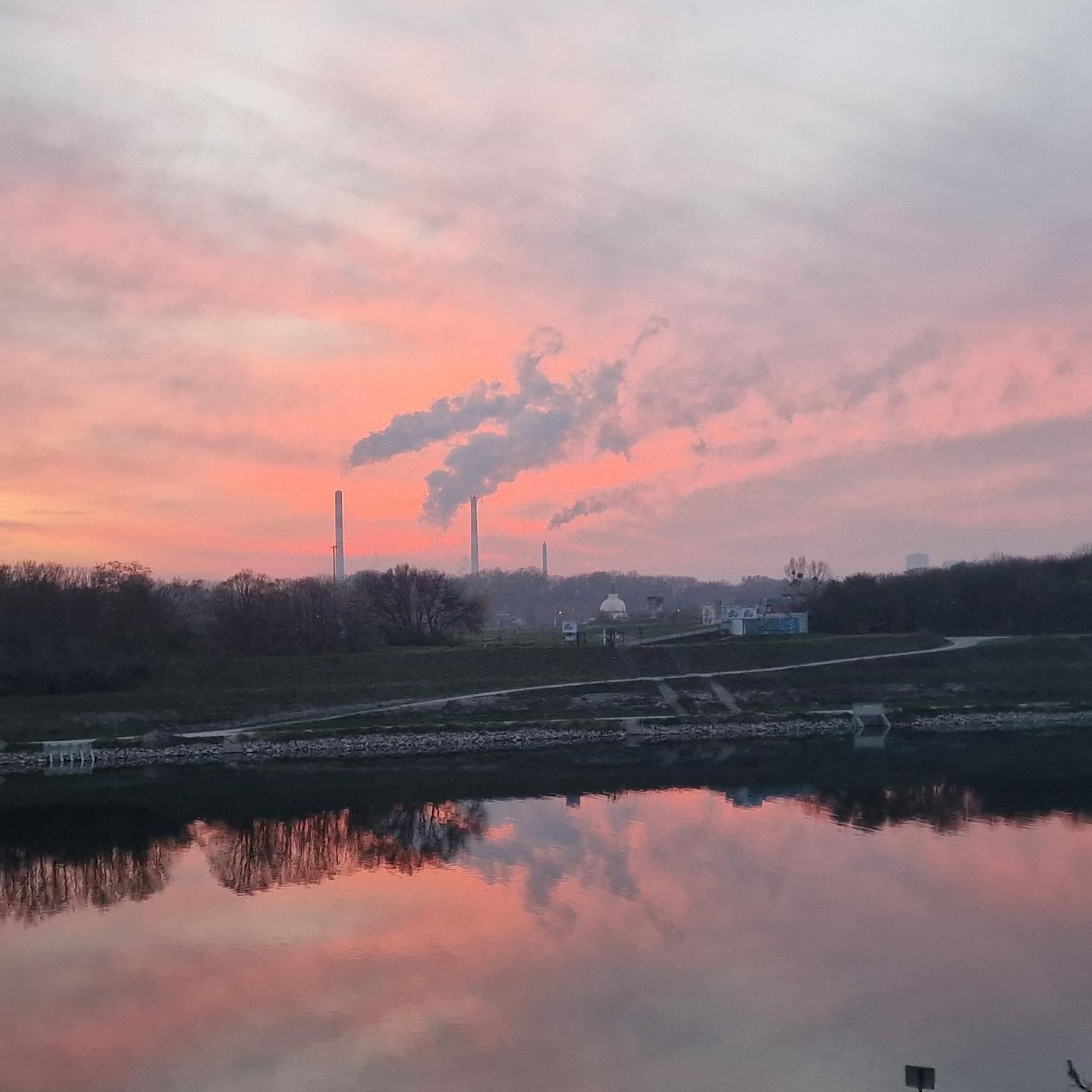

Other adventures around Gerola Alta

Tips from the Community

It has a beautiful view, a shame that when we went up it was half covered by clouds
0
0
The Stravello pass is the connection between the two valleys
0
0
beautiful refuge located in a unique setting
0
0

An excellent refuge with a large open space where you can rest, thanks to the many outdoor tables. Semi-self-service kitchen open from 11:00 am to 2:00 pm. The buckwheat cake with jam is truly excellent, recommended for everyone. You can self-stamp your refuge and get a tour guide inside the refuge. From here, you can climb to Cima Piazzotti for a stunning view of the Val d'Inferno, and the area is home to a few ibex. You can also stay overnight and perhaps head towards Pizzo dei 3 Signori or Rifugio Grassi.
1
0

Excellent, well-equipped refuge for both a day's stay and an overnight stay. Ample outdoor space with tables for dining. The 360° view is spectacular, both over the Bergamo Orobie and the Valtellina Alps. Starting from the road leading to Piani dell'Avaro, there are two possible trails: the traditional 108, which, however, involves a very steep gully (not recommended for dogs), or the 108A, the longer (but also much more scenic) variant, which does not involve any steep sections.
3
0

The path from the refuge to the road to the dam was redone last year. If it weren't for the sharp rocks it's strewn with, it wouldn't even be that bad, but it's quite dangerous.
0
0

The FALC refuge, at 2,120 m, is located in Valvarrone (LC), in the Orobie Alps. It offers beds in two dormitories and a restaurant service. Open from mid-June to the end of August, it can be reached from Premana or Introbio, and is the base for ascents to Pizzo Varrone and Pizzo dei Tre Signori. For more information: https://www.rifugiofalc.it/
1
0

Stunning mountain of the Orobie Alps
0
0
Frequently Asked Questions
How many running trails are available around Gerola Alta?
There are over 160 running routes around Gerola Alta, offering a wide variety of options for joggers of all levels. These trails explore the diverse landscapes of the Parco delle Orobie Valtellinesi.
What are the typical difficulty levels for jogging routes in Gerola Alta?
The running routes in Gerola Alta range from easy to difficult. You'll find about 11 easy routes, 45 moderate routes, and over 110 challenging trails, many of which feature significant elevation changes due to the region's high-altitude environment.
Are there any running routes that pass by alpine lakes in the Valgerola area?
Yes, many running routes in Valgerola feature stunning alpine lakes. For example, the Rifugio Benigni and Lakes Trona and Rotondo Loop takes you past multiple beautiful lakes. Other notable lakes in the area accessible via trails include Lago di Pescegallo, Lago dell'Inferno, and Lago Zancone.
What kind of natural features can I expect to see while running in Gerola Alta?
Jogging in Gerola Alta offers a rich tapestry of natural beauty. You'll encounter diverse forests, from deciduous to coniferous, expansive green pastures and meadows, and dramatic rocky peaks. The region is also home to several emerald alpine lakes and offers opportunities for wildlife sightings like roe deer, chamois, and ibex.
Are there any circular jogging routes available?
Yes, many of the running routes around Gerola Alta are designed as loops, providing a convenient way to explore the area without retracing your steps. Examples include the popular Lago di Pescegallo e Laghi di Ponteranica – giro ad anello nel Parco delle Orobie Valtellinesi and the Trona and Inferno Lakes Loop.
What do other runners enjoy most about the trails in Gerola Alta?
The running trails in Gerola Alta are highly rated by the komoot community, with an average score of 4.5 stars from over 40 reviews. Runners often praise the stunning panoramic views, the refreshing high-altitude environment, and the diverse terrain that keeps each run interesting.
Can I find running routes with significant elevation gain for a challenging workout?
Absolutely. Gerola Alta, situated at 1050 meters above sea level and surrounded by peaks like Pizzo dei Tre Signori, offers numerous routes with substantial elevation gain. Trails like Monte Rotondo – Parco delle Orobie Valtellinesi provide challenging ascents and rewarding views.
Are there any waterfalls or notable landmarks along the running paths?
Yes, the region features several beautiful waterfalls and landmarks. You might encounter the Sprizzotolo Waterfall or the Val Mora Waterfall. For historical interest, the Cadorna path, with its World War I structures, also offers a unique route.
Are there any easy or beginner-friendly jogging routes in Gerola Alta?
While many routes are moderate to difficult, there are approximately 11 easy routes suitable for beginners or those looking for a less strenuous run. These often feature more comfortable and evident paths, sometimes even paved sections, allowing for a relaxed experience amidst the scenic landscape.
What is the best season for running in Gerola Alta?
Gerola Alta offers refreshing conditions for running, especially during spring, summer, and autumn when the trails are most accessible. The diverse forests provide shade in warmer months, and the changing foliage in autumn creates a picturesque backdrop. Winter running is also possible, though some higher-altitude trails may require specific gear due to snow.
Are there any running routes that lead to mountain huts or refuges?
Yes, some routes lead to or pass by mountain huts, which can be great spots for a break or to refuel. The Rifugio Benigni and Lakes Trona & Zancone Loop, for instance, includes a mountain hut, offering a chance to experience local hospitality amidst the alpine scenery.
Is it possible to reach the trailheads using public transport?
While Gerola Alta is nestled in a mountain region, some areas might be accessible via local bus services. However, for many trailheads, especially those deeper in the Parco delle Orobie Valtellinesi, personal transport or a short taxi ride from the village center might be necessary. It's advisable to check local transport schedules in advance.
Most popular routes around Gerola Alta
Most popular attractions around Gerola Alta

Get inspired with the komoot mobile app


Explore more
Browse the best Running Trails & Routes in other regions.
