The best mountain hikes around Malgrate
4.6
(89)
747
hikers
29
hikes
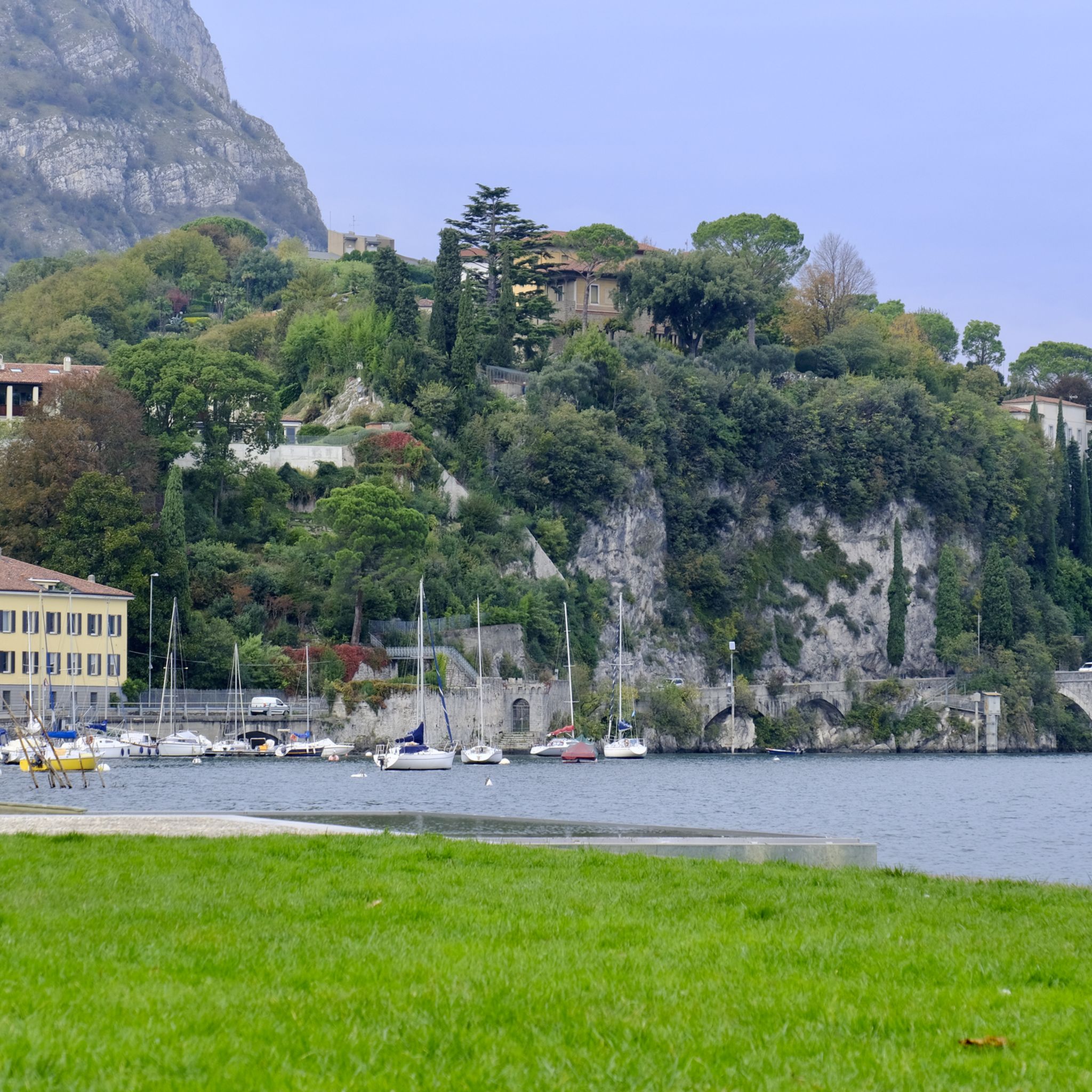
Mountaineering routes around Malgrate are situated on the eastern shore of Lake Como, offering a blend of lakeside scenery and challenging mountain terrain. The region is characterized by the Lombardy Prealps, with prominent features like Monte Barro and the iconic Resegone mountain. These areas provide diverse landscapes, from biodiverse mountain parks to rugged peaks, making it a versatile hub for mountaineering enthusiasts.
Best mountaineering routes around Malgrate
- The most popular mountaineering route is Via Ferrata of Mount Medale – Medale…
Last updated: August 14, 2026
4.9
(9)
70
hikers
5.12km
03:35
560m
560m
Hard mountaineering route. Good fitness required. Sure-footedness, sturdy shoes and alpine experience required.
4.9
(8)
55
hikers
6.65km
04:14
910m
910m
Hard mountaineering route. Very good fitness required. Sure-footedness, sturdy shoes and alpine experience required.

Sign up for free
4.6
(5)
47
hikers
9.96km
05:28
920m
920m
Hard mountaineering route. Very good fitness required. Sure-footedness, sturdy shoes and alpine experience required.
4.8
(4)
20
hikers
Hard mountaineering route. Very good fitness required. Sure-footedness, sturdy shoes and alpine experience required.
5.0
(1)
18
hikers
6.02km
04:08
660m
660m
Hard mountaineering route. Good fitness required. Sure-footedness, sturdy shoes and alpine experience required.
Get access to more routes and recommendations from other explorers.
Sign up for free
Already have an account?
Our route recommendations are based on thousands of hikes, rides, and runs completed by other people on komoot.
Start today with a free account
Your next adventure awaits.
Login or Signup

Tips from the Community

pretty here, very pretty
2
0
pretty here, very pretty
2
0
Pretty here, very pretty
2
0
pretty here, very pretty
2
0

I believe that animals often look at us as we look at them... with great curiosity to understand how we are made
0
0

pretty here, very pretty
2
1
Frequently Asked Questions
What is the general difficulty level of mountaineering routes around Malgrate?
Most mountaineering routes around Malgrate are considered difficult, requiring good fitness and alpine experience. Out of over 35 routes, 33 are rated as difficult, with only a couple being moderate. For example, the Via Ferrata of Mount Medale – Medale Horn loop from Lecco involves significant elevation gain and technical sections.
What is the best time of year for mountaineering in Malgrate?
The best time for mountaineering in Malgrate is typically from late spring through early autumn (May to October). During these months, the weather is generally more stable, and trails are free of snow, making for safer and more enjoyable conditions. Always check local weather forecasts before heading out.
Are there any beginner-friendly mountaineering routes near Malgrate?
While most mountaineering routes directly around Malgrate are challenging, there are no routes specifically classified as easy for mountaineering. If you are new to mountaineering, it's advisable to gain experience on easier hiking trails first or consider guided tours. The region offers many scenic walks that are less demanding than the technical mountaineering routes.
Do I need any special permits for mountaineering or Via Ferrata routes in Malgrate?
Generally, specific permits are not required for accessing most mountaineering trails in the Malgrate area. However, for Via Ferrata routes, it is essential to have the appropriate safety equipment (helmet, harness, via ferrata set) and experience. Always check for any local regulations or specific requirements for certain routes before you go.
Are dogs allowed on mountaineering trails near Malgrate?
Policies regarding dogs can vary by specific trail and protected areas like Monte Barro Park. While many trails are dog-friendly, it's always best to keep dogs on a leash, especially in areas with wildlife or livestock, and to ensure they are capable of handling the terrain. For challenging mountaineering routes, consider if the route is safe and suitable for your dog's abilities.
What natural features or landmarks can I expect to see on mountaineering routes near Malgrate?
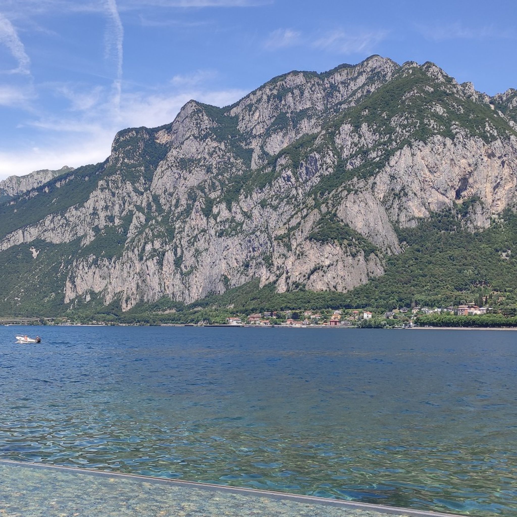
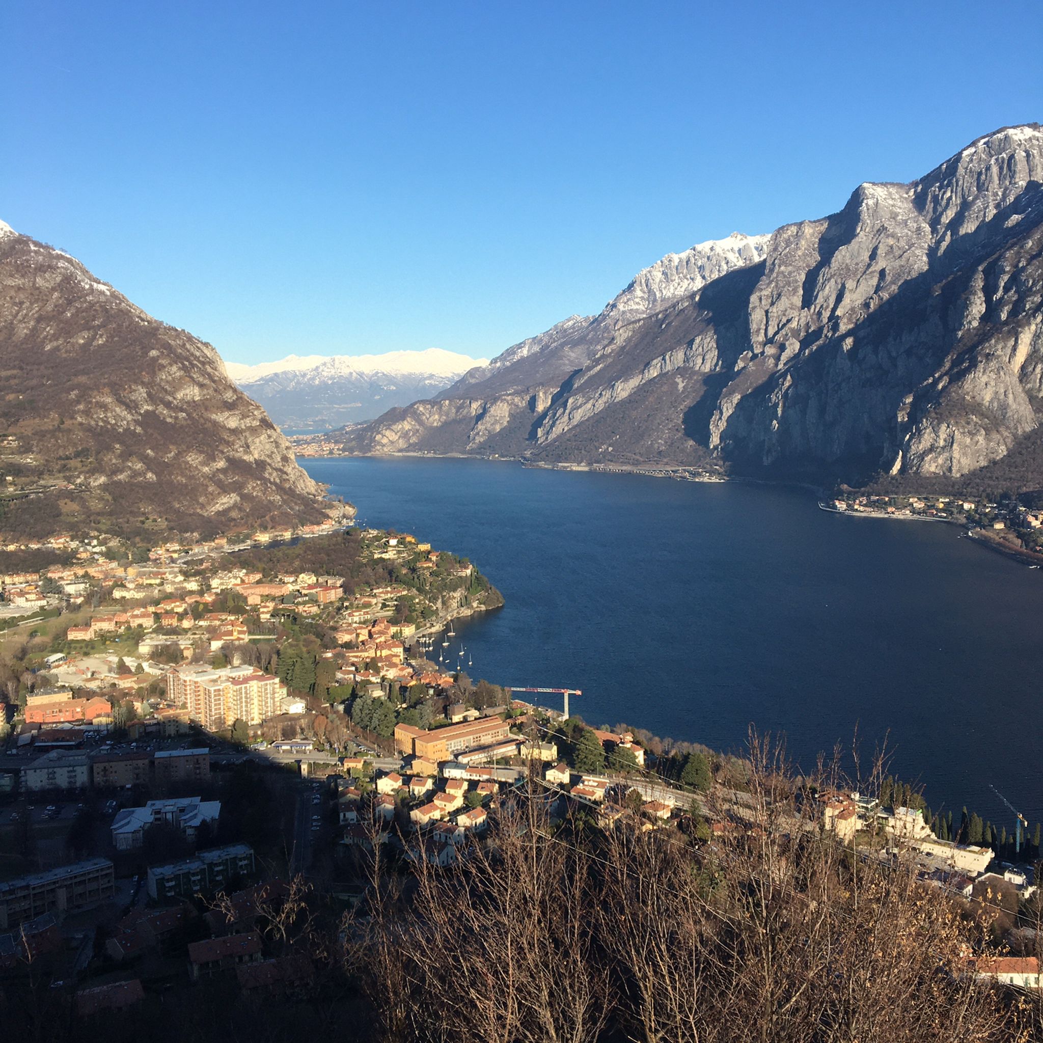
Mountaineering routes around Malgrate offer stunning views of Lake Como and the dramatic peaks of the Lombardy Prealps. You can expect to see the iconic Monte Resegone, Monte Barro, and the Grigne mountains. Highlights include the Luigi Azzoni Hut (Monte Resegone), offering panoramic views, and the Monte Barro Summit View. The routes often traverse diverse landscapes, from forested slopes to rugged, rocky terrain.
Are there many circular mountaineering routes available in the Malgrate area?
Yes, many mountaineering routes around Malgrate are designed as loops, allowing you to start and end in the same location. Examples include the Le Casote di Valmadrera – Monte Moregallo Summit loop from Valmadrera and the Ferrata Corno Rat loop from Valmadrera. These circular routes provide a varied experience without retracing your steps.
How long do mountaineering routes near Malgrate typically take to complete?
The duration of mountaineering routes varies significantly based on distance, elevation gain, and your pace. For instance, the Via Ferrata of Mount Medale – Medale Horn loop from Lecco, which is about 5 km, typically takes around 3 hours 35 minutes. Longer routes, such as Trails 6 and 7 – Le Casote di Valmadrera loop from Valmadrera (over 14 km), can take upwards of 6 hours 30 minutes.
What do other mountaineers enjoy most about mountaineering in Malgrate?
The mountaineering routes around Malgrate are highly rated by the komoot community, with an average score of 4.6 stars. Reviewers often praise the challenging terrain, the breathtaking panoramic views over Lake Como, and the sense of accomplishment from tackling the rugged peaks like Resegone. The diverse landscapes, from lakeside to high mountain, are also frequently highlighted.
Are there any places to eat or drink near the mountaineering trailheads in Malgrate?
Malgrate itself offers various cafes and restaurants along the lakeside promenade. For routes starting from nearby Valmadrera or Lecco, you'll find options in those towns. After a challenging climb, enjoying local cuisine with views of Lake Como is a popular way to relax and refuel.
Can I reach the mountaineering areas by public transport from Malgrate?
Yes, Malgrate's proximity to Lecco provides good access to public transport. From Lecco, you can often find connections to areas like Valmadrera, which serve as starting points for several mountaineering routes. Additionally, a cable car from Lecco ascends to Piani d'Erna, offering access to further trekking and mountaineering opportunities.
Most popular routes around Malgrate
Most popular attractions around Malgrate

Get inspired with the komoot mobile app


Explore more
Browse the best Mountain Hikes & Routes in other regions.
