The best mountain hikes around Galbiate
4.6
(89)
751
hikers
29
hikes
Mountaineering routes around Galbiate are concentrated around the prominent Monte Barro, which rises to approximately 922 meters and offers diverse terrain. The region features challenging rock faces and varied trails winding through lush woods and green meadows. Surrounding lakes like Annone and Garlate contribute to the scenic backdrop, visible from higher elevations. This landscape provides a range of vertical adventures and demanding ascents for experienced mountaineers.
Best mountaineering routes around Galbiate
- The most popular mountaineering route is Via Ferrata of…
Last updated: October 21, 2026
4.9
(9)
70
hikers
5.12km
03:35
560m
560m
Hard mountaineering route. Good fitness required. Sure-footedness, sturdy shoes and alpine experience required.
4.9
(8)
55
hikers
6.66km
04:36
910m
910m
Hard mountaineering route. Very good fitness required. Sure-footedness, sturdy shoes and alpine experience required.

4.6
(5)
51
hikers
9.82km
05:20
920m
920m
Hard mountaineering route. Very good fitness required. Sure-footedness, sturdy shoes and alpine experience required.
4.7
(3)
20
hikers
Hard mountaineering route. Very good fitness required. Sure-footedness, sturdy shoes and alpine experience required.
5.0
(1)
18
hikers
6.02km
04:08
660m
660m
Hard mountaineering route. Good fitness required. Sure-footedness, sturdy shoes and alpine experience required.
Get access to more routes and recommendations from other explorers.
Already have an account?
Our route recommendations are based on thousands of hikes, rides, and runs completed by other people on komoot.
Start today with a free account
Your next adventure awaits.
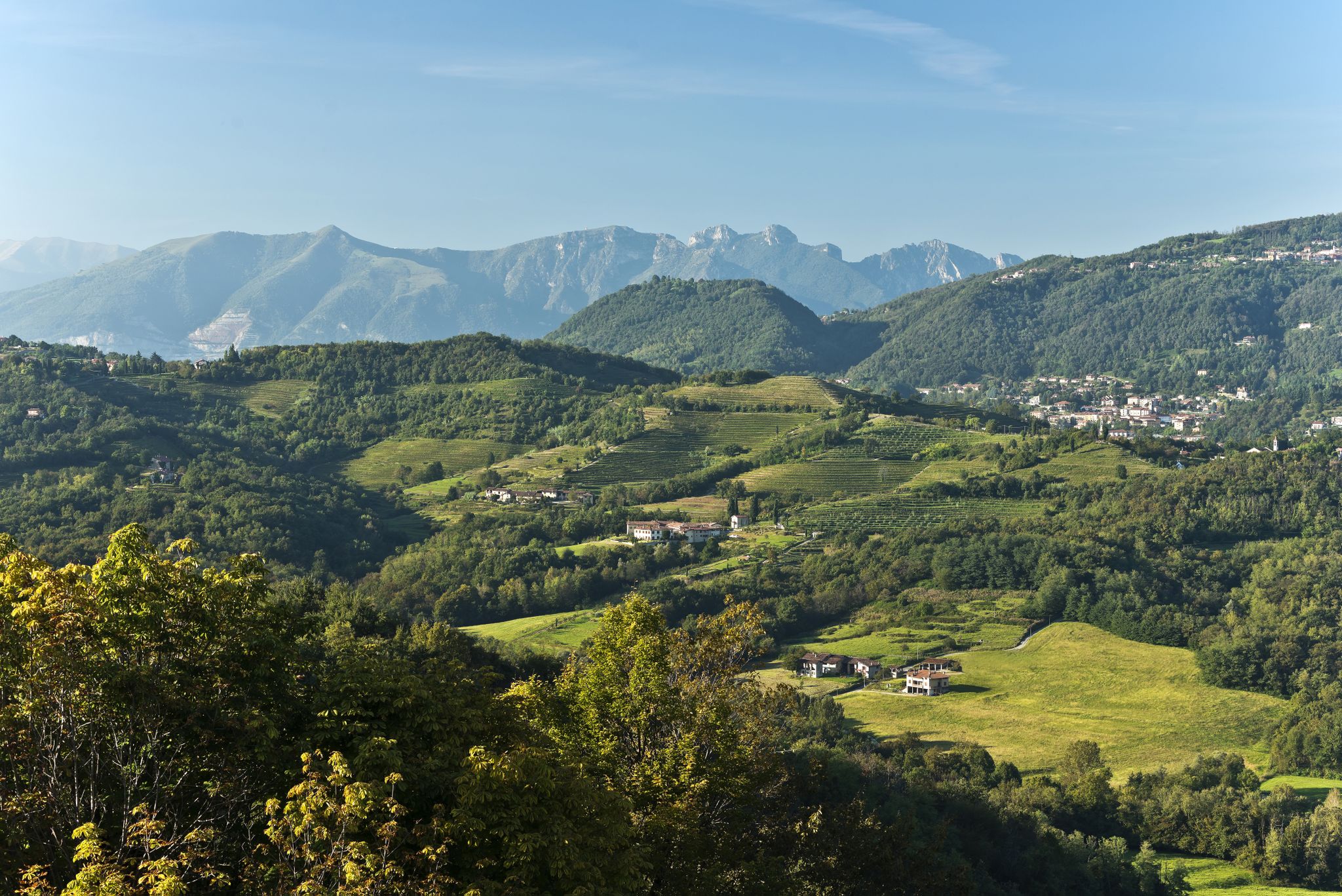
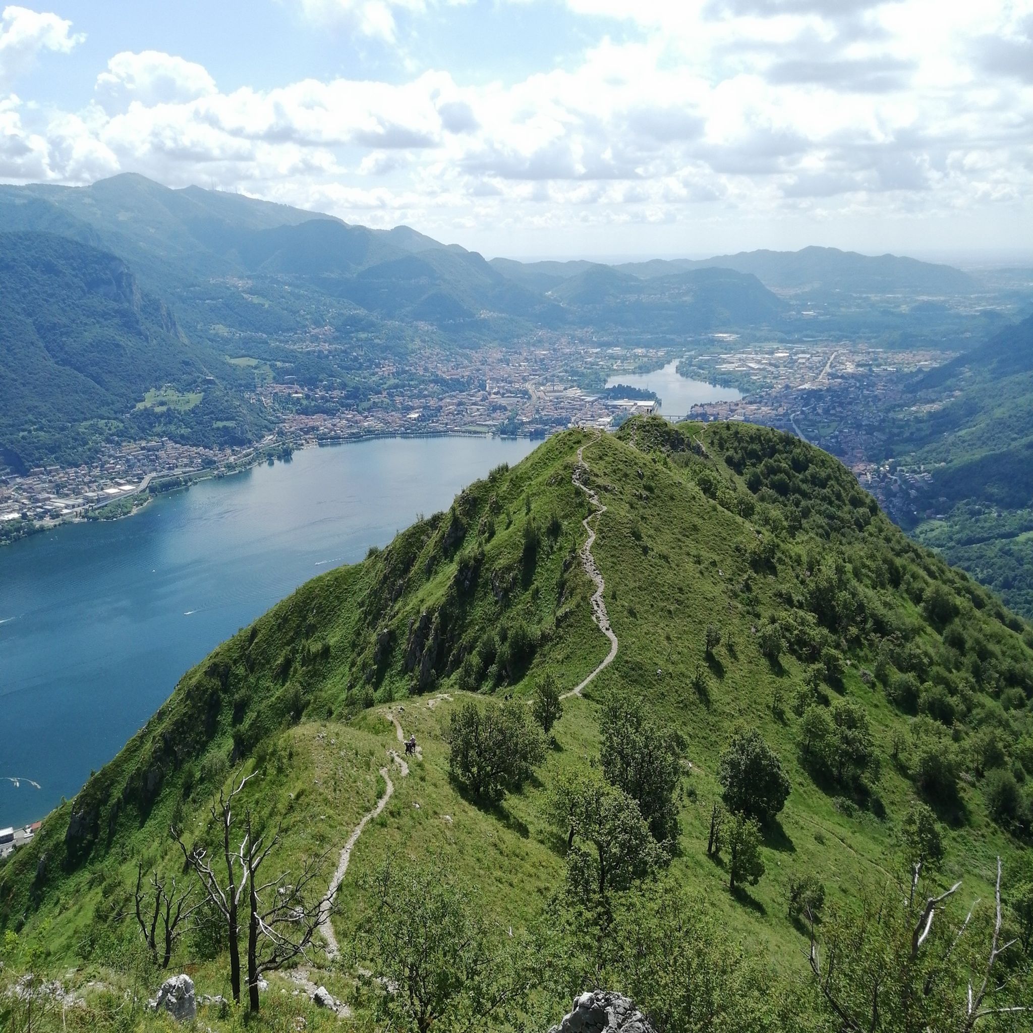
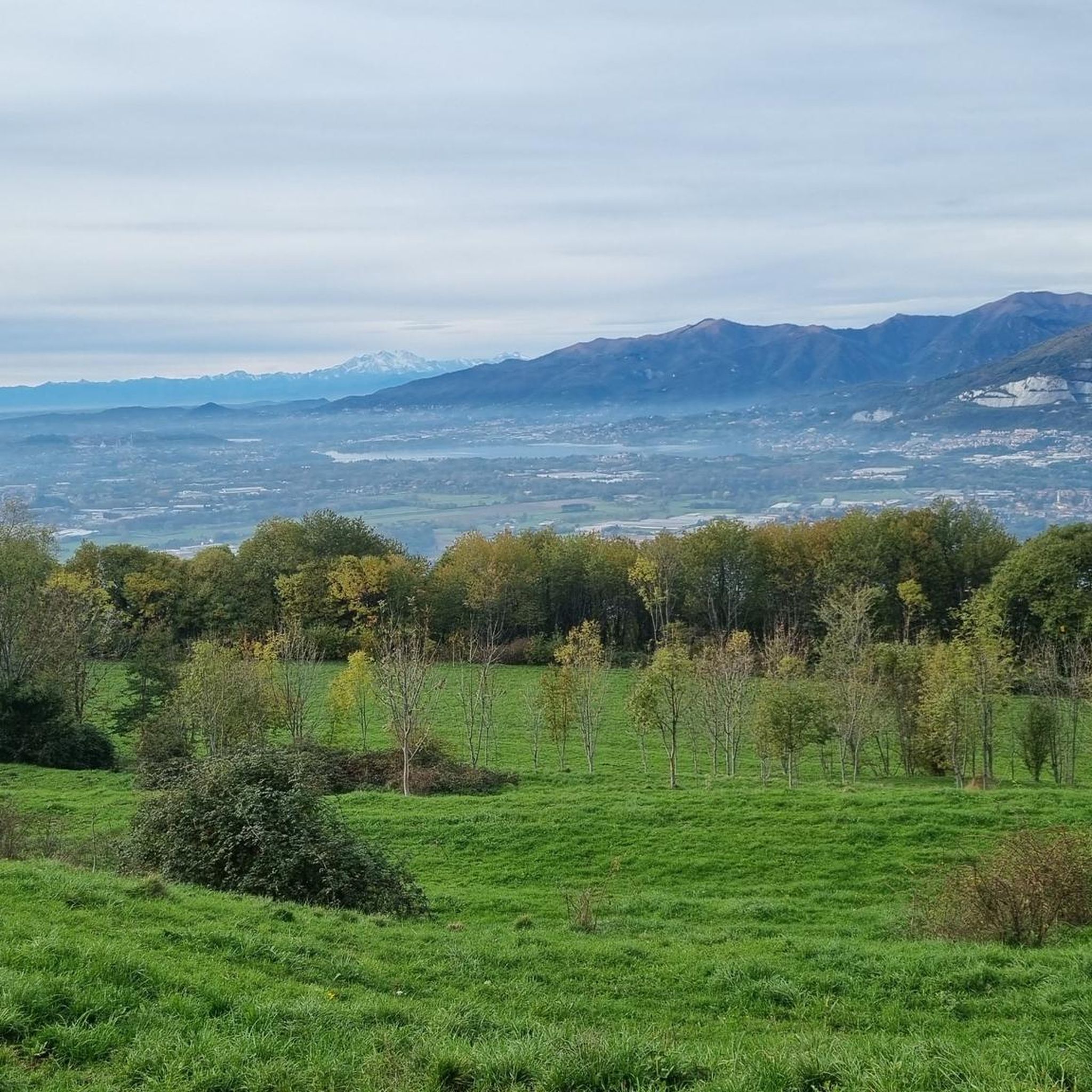

Other adventures around Galbiate

Tips from the Community

pretty here, very pretty
2
0
Pretty here, very pretty
2
0
pretty here, very pretty
2
0

I believe that animals often look at us as we look at them... with great curiosity to understand how we are made
0
0

Ferrata reachable from Valmadrera. The progression takes place on a wall with some exposed sections, traverses on cable, but with well-visible metal holds. In the sections where the holds are further apart, the rock still offers good grips. In the second part, there are some ledges useful for resting. The panorama spans Valmadrera, Lake Lecco, Monte Barro, Lake Pusiano and Annone, and Resegone. In about 45-50 minutes, including the approach, you reach the summit of Corno Rat (924 m a.s.l.)
0
0
Via ferrata reachable from Valmadrera. The progression takes place on a wall with some exposed sections, traverses on cable, but with well-visible holds and stirrups. In the sections where the holds are further apart, the rock still offers good grips. In the second part, there are some ledges useful for resting. The panorama ranges over Valmadrera, Lake Lecco, Monte Barro, Lake Pusiano and Annone, and the Resegone. In about 45-50 minutes, including the approach, you reach the summit of Corno Rat (924 m a.s.l.).
0
0
Frequently Asked Questions
How many mountaineering routes are available around Galbiate?
There are over 30 mountaineering routes around Galbiate, with the vast majority being classified as difficult. These routes offer challenging ascents and technical sections for experienced mountaineers.
Are there any easy mountaineering routes in Galbiate for beginners?
The mountaineering routes around Galbiate are primarily designed for experienced individuals, with most being classified as difficult. There are only a couple of routes considered moderate, and none are specifically easy for beginners in this guide.
What kind of terrain can I expect on mountaineering routes near Galbiate?
You can expect diverse terrain, including challenging rock faces, rugged mountain paths, and trails winding through lush woods and green meadows. The region is characterized by calcareous-dolomitic rock formations, especially within Monte Barro Regional Park.
Are there any circular mountaineering routes around Galbiate?
Yes, many routes are circular. For example, the Via Ferrata of Mount Medale – Medale Horn loop from Lecco is a popular difficult circular route. Another option is the Ferrata Corno Rat loop from Valmadrera, which leads through rocky sections and exposed ridges.
What are some notable landmarks or viewpoints along the mountaineering routes?
Many routes offer stunning panoramic views of the surrounding lakes, including Lake Como, Lake Annone, Lake Garlate, and Lake Pusiano. Key viewpoints include the Monte Barro Summit View and the Monte Resegone, known for its saw-like profile. The Summit cross of Monte Cornizzolo also provides excellent vistas.
Are there any mountain huts or places to rest along the trails?
Yes, there are several huts in the area. The Luigi Azzoni Hut, located just below Punta Cermenati on Monte Resegone, is a key reference point. Other options include the Rosalba Hut and the Marisa Consigliere Mountain Hut.
What do other mountaineers say about the routes in Galbiate?
The mountaineering routes in Galbiate are highly rated by the komoot community, with an average score of 4.5 stars from over 80 reviews. Mountaineers often praise the challenging rock faces, demanding ascents, and the scenic views of the surrounding lakes.
Are there any longer, more challenging mountaineering routes available?
For a longer and more challenging experience, consider the Trails 6 and 7 – Le Casote di Valmadrera loop from Valmadrera. This difficult route spans over 14 kilometers and involves significant elevation gain, typically taking over 6 hours to complete.
What is the best time of year for mountaineering in Galbiate?
While specific seasonal recommendations vary by route and conditions, the region generally offers good mountaineering opportunities from spring through autumn. Always check local weather forecasts and trail conditions before heading out, especially for higher elevations or technical sections.
Can I find via ferratas in the Galbiate area?
Yes, the region is known for its via ferratas. Monte Resegone, in particular, features maintained paths and via ferratas, including the iconic Gamma 1 and Gamma 2 ferratas. The Ferrata Corno Rat – Corno Orientale Summit Cross loop from Valmadrera is another challenging option.
Are there any routes that offer views of multiple lakes?
Many routes, especially those ascending Monte Barro, provide stunning panoramic views of several lakes, including Lake Como, Lake Annone, Lake Garlate, and Lake Pusiano. Sunset hikes on Monte Barro are particularly recommended for these breathtaking vistas.
Most popular routes around Galbiate
Most popular attractions around Galbiate

Get inspired with the komoot mobile app


Explore more
Browse the best Mountain Hikes & Routes in other regions.
