The best walks and hikes around Asola
4.2
(31)
148
hikers
45
hikes
Hiking around Asola offers trails primarily characterized by flat, riverine landscapes, with routes often following waterways like the Oglio and Gambara rivers. The region features gentle terrain with minimal elevation changes, making it suitable for accessible outdoor activities. Hikers can expect paths through agricultural areas and natural reserves, providing opportunities for nature observation.
Best hiking trails around Asola
- The most popular hiking route is Oglio Cycle Path: Le Bine Nature Reserve Loop, a 12.2 miles (19.7 km) trail that…
Last updated: October 4, 2026
4.0
(3)
7
hikers
19.1km
04:50
40m
40m
Moderate hike. Good fitness required. Easily-accessible paths. Suitable for all skill levels.
5.0
(1)
5
hikers
Moderate hike. Good fitness required. Easily-accessible paths. Suitable for all skill levels.

5
hikers
4.80km
01:13
10m
10m
Easy hike. Great for any fitness level. Easily-accessible paths. Suitable for all skill levels.
3.0
(1)
3
hikers
Easy hike. Great for any fitness level. Easily-accessible paths. Suitable for all skill levels.
3
hikers
Moderate hike. Good fitness required. Easily-accessible paths. Suitable for all skill levels.
Get access to more routes and recommendations from other explorers.
Already have an account?
Our route recommendations are based on thousands of hikes, rides, and runs completed by other people on komoot.
Start today with a free account
Your next adventure awaits.

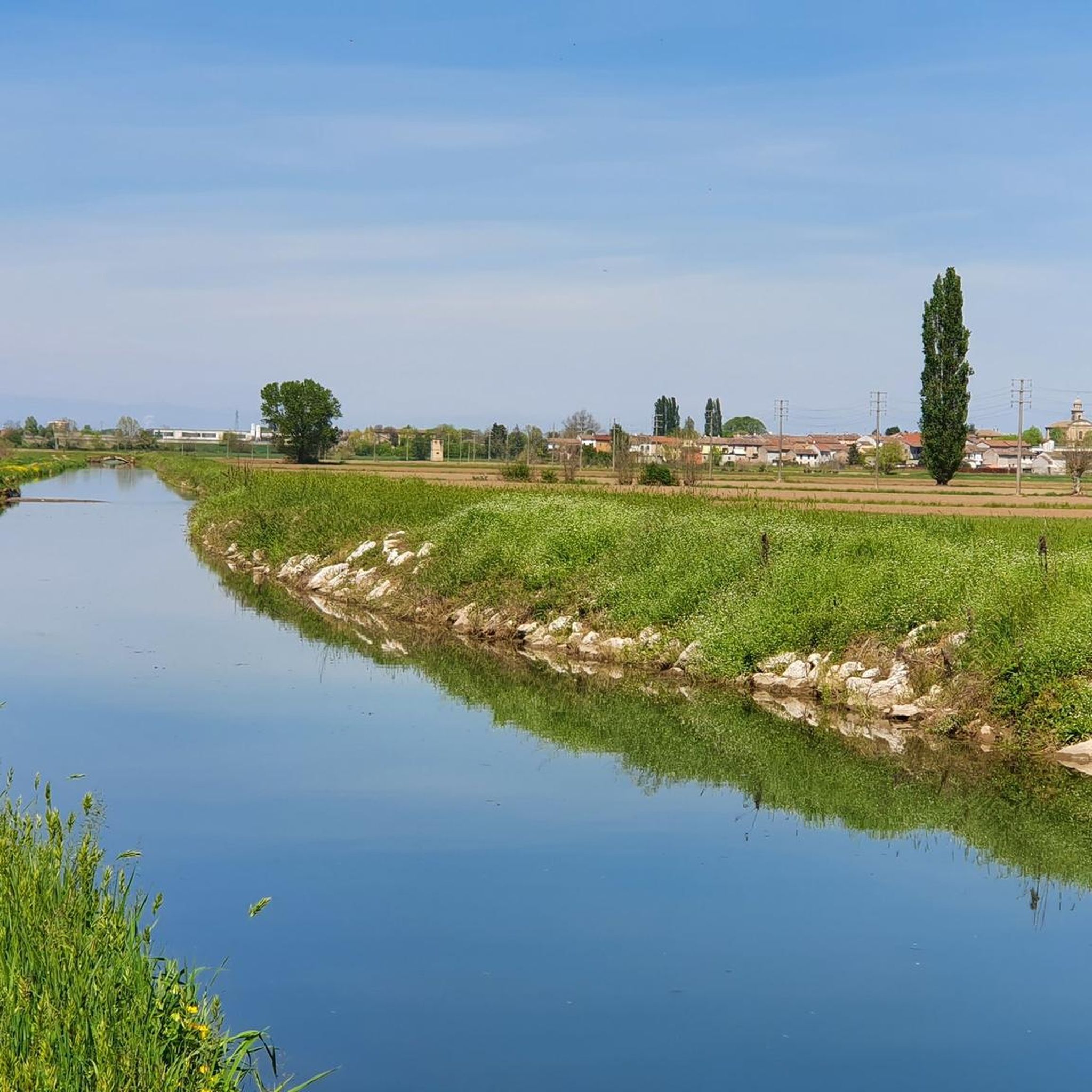
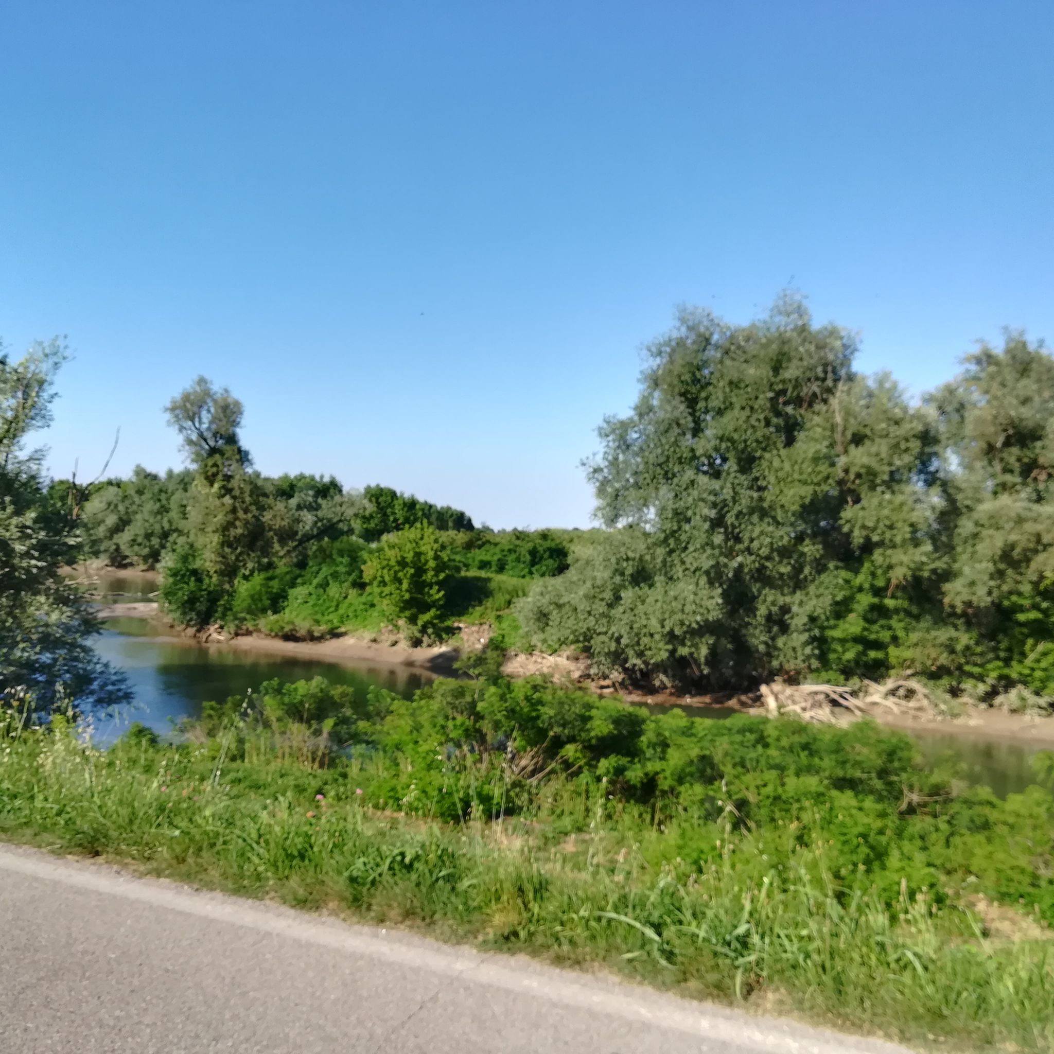

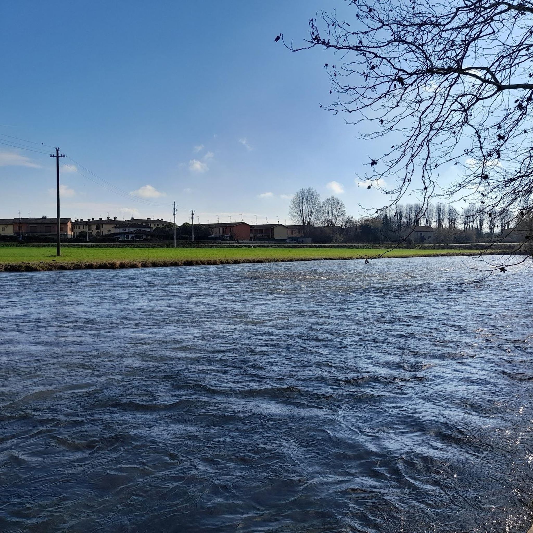
Tips from the Community

nice place to relax for a moment
0
0

Cycle/pedestrian stretch on a dirt road, which runs along the Oglio river. The route is surrounded by nature and suitable for everyone, completely flat. It is nicknamed "white road" due to the color of the gravel on the bottom.
3
0

Old mill overlooking the Oglio river.
2
0

Excellent ice cream shop in the heart of Piadena
0
0

Benches, Ombra, and the Oglio river A good point for a break
4
0

Nurseries immersed in the woods along the oglio river
1
0
Frequently Asked Questions
What types of hiking trails can I expect around Asola?
Hiking around Asola primarily features trails characterized by flat, riverine landscapes. You'll find routes often following waterways like the Oglio and Gambara rivers, passing through agricultural areas and natural reserves. The terrain is generally gentle with minimal elevation changes, making it suitable for a relaxed outdoor experience.
How many hiking routes are available in the Asola area?
There are over 25 hiking routes available around Asola. These include a mix of easy and moderate trails, ensuring options for various fitness levels. You can find 14 easy routes and 15 moderate routes to explore.
Are there any easy or beginner-friendly hiking trails in Asola?
Yes, Asola offers several easy and beginner-friendly hiking trails. For instance, the Abandoned Mill – Old Mill on the Oglio River loop from Piadena Drizzona is an easy 4.6-mile (7.4 km) trail that takes about 1 hour 52 minutes to complete, offering pleasant riverine scenery.
What are the best times of year to go hiking in Asola?
Given the flat, riverine landscape, spring and autumn are generally ideal for hiking in Asola, offering pleasant temperatures and lush scenery. Summer can also be enjoyable, especially along the rivers where breezes might provide some relief. Winter hikes are possible, but check local conditions as paths might be damp.
Are there any circular hiking routes in Asola?
Yes, many routes in Asola are designed as loops. A popular circular option is the Oglio Cycle Path: Le Bine Nature Reserve Loop, which is a 12.2-mile (19.7 km) trail offering views along the Oglio River.
What can I see or explore along the hiking trails in Asola?
Beyond the natural beauty of the rivers and agricultural landscapes, you can explore historical and cultural sites. Nearby attractions include the Piazza Matteotti in Isola Dovarese, the Parish Church of Acquafredda, and the impressive Ostiano Castle. The region also features historic villas and farmhouses like Villa Sommi Picenardi and Villarocca Historic Farmhouse.
Are the hiking trails in Asola suitable for families with children?
Yes, the gentle terrain and minimal elevation changes make many of Asola's trails suitable for families. The paths through natural reserves and along rivers provide a pleasant environment for children to enjoy nature. Consider shorter, easy routes for younger children.
Are dogs allowed on the hiking trails in Asola?
Generally, dogs are welcome on hiking trails in the Asola area, especially on paths through agricultural areas and along riverbanks. However, it's always advisable to keep them on a leash and be mindful of local regulations, particularly when passing through nature reserves or near private property.
What do other hikers enjoy most about hiking in Asola?
The area is highly rated by the komoot community, with an average score of 4.0 stars from more than 20 reviews. Reviewers often praise the peaceful river paths, the accessibility of the routes, and the opportunities for nature observation in the reserves and agricultural landscapes.
Are there any trails suitable for cycling as well as hiking?
Yes, some of the riverine paths, like sections of the Oglio Cycle Path, are well-suited for both hiking and cycling. These routes often feature compact dirt terrain and are largely free from car traffic, providing a pleasant experience for both activities.
Are there any cafes or places to eat near the hiking trails in Asola?
Asola itself and the surrounding towns offer various local food and wine options, including cafes and restaurants. While specific establishments directly on every trail might be limited, you'll find places to refresh and refuel in the nearby villages and historic centers.
What is the longest hiking trail in Asola?
One of the longer routes is the Oglio Cycle Path: Le Bine Nature Reserve Loop, which spans 12.2 miles (19.7 km) and typically takes around 5 hours to complete, offering an extensive exploration of the river landscape.
Most popular attractions around Asola

Get inspired with the komoot mobile app


Explore more
Browse the best Hikes in other regions.
