The best walks and hikes around Tirpersdorf
4.6
(2177)
7,477
hikers
33
hikes
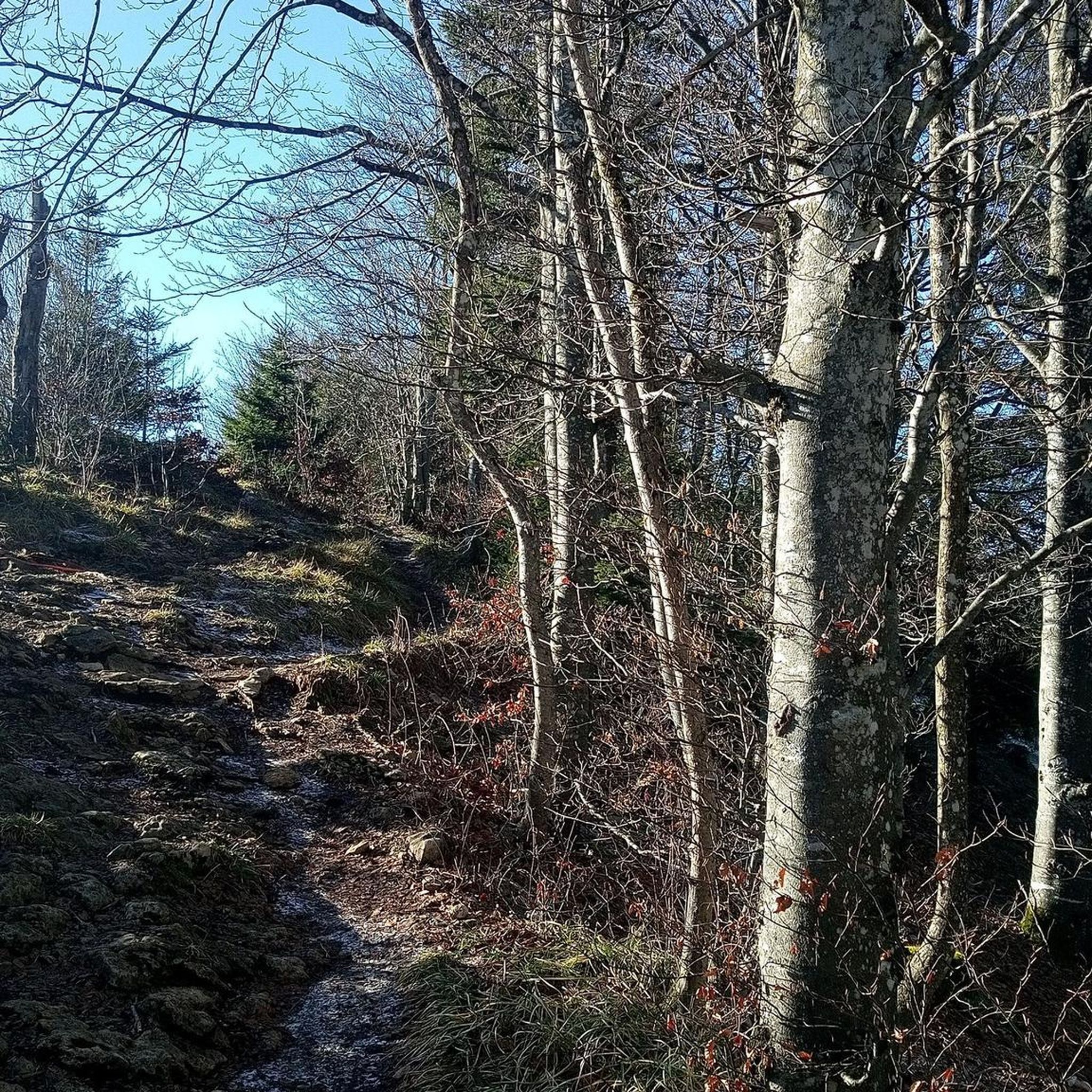
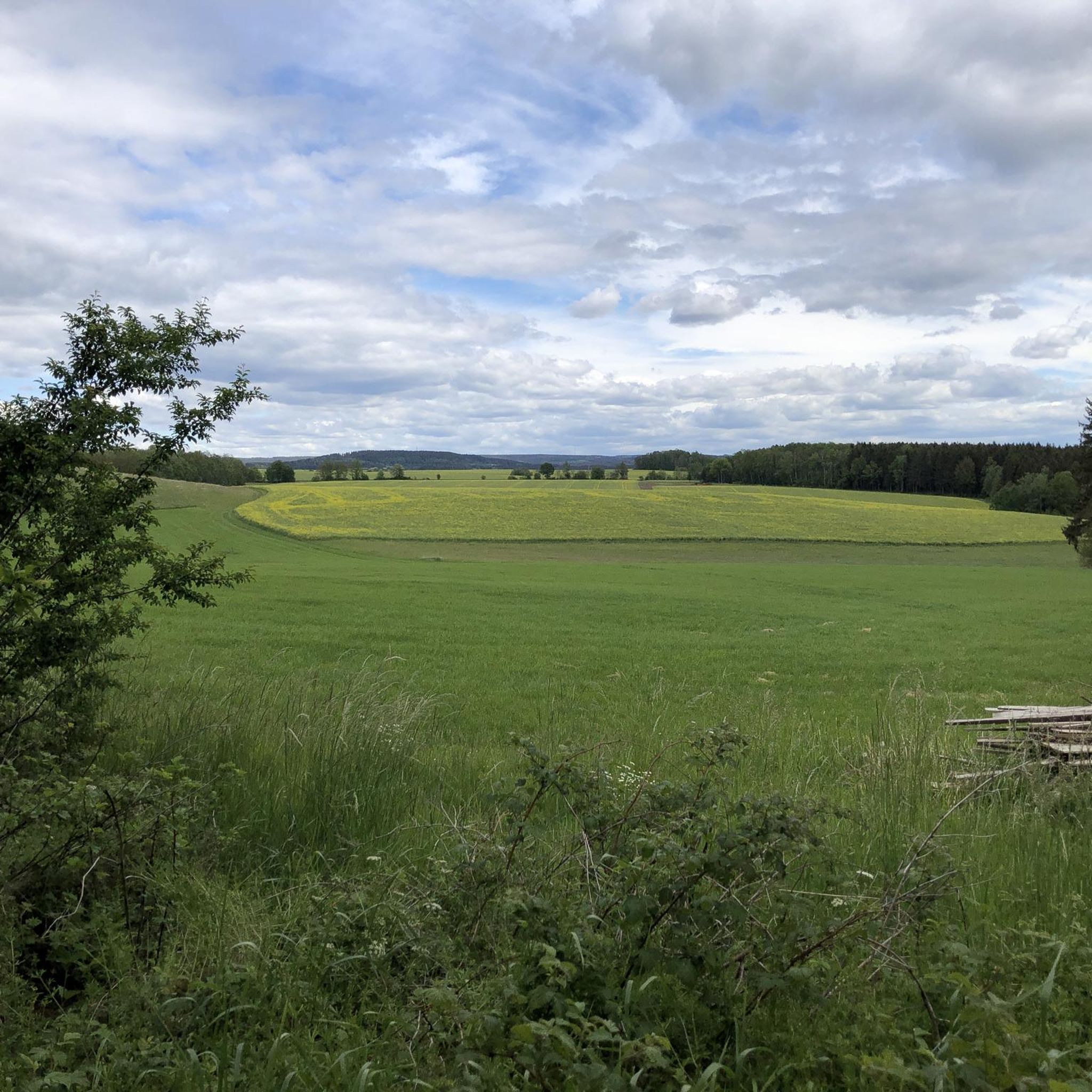
Hiking trails around Tirpersdorf offer a diverse landscape in the Vogtland region, characterized by rolling hills, dense woodlands, and open fields. The terrain primarily features gentle ascents and descents, making it accessible for various activity levels. Many routes follow established paths through natural areas, providing opportunities for Tirpersdorf nature walks wildlife observation.
Best hiking trails around Tirpersdorf
- The most popular hiking route is Covered Picnic Area – Picnic Shelter by the Pond loop from Jägerswald, an easy 3.4 miles…
Last updated: June 28, 2026
15
hikers
Easy hike. Great for any fitness level. Easily-accessible paths. Suitable for all skill levels.
4.8
(6)
14
hikers
13.3km
03:38
200m
200m
Moderate hike. Good fitness required. Easily-accessible paths. Suitable for all skill levels.

Sign up for free
14
hikers
Easy hike. Great for any fitness level. Easily-accessible paths. Suitable for all skill levels.
4.0
(2)
10
hikers
12.4km
03:16
110m
110m
Moderate hike. Good fitness required. Easily-accessible paths. Suitable for all skill levels.
4.7
(3)
10
hikers
7.80km
02:09
130m
120m
Moderate hike. Good fitness required. Easily-accessible paths. Suitable for all skill levels.
Get access to more routes and recommendations from other explorers.
Sign up for free
Already have an account?
Our route recommendations are based on thousands of hikes, rides, and runs completed by other people on komoot.
Start today with a free account
Your next adventure awaits.
Login or Signup
Tips from the Community


If you want to ride the official cycle path, you can expect a 1 km long climb with a 10% gradient in places. Alternatively, you can simply drive straight ahead. It's bumpy along the original railway embankment, so you shouldn't move a bike to ride the route for the first time.
1
0

A great spot for photographers. It is best to visit this place in the late afternoon. The photos are great.
1
0

Beautiful photo spot! Who the Top! If you don't want to ride the paved bike path "through the valley", you can also "shorten" parallel 50m above straight over the forest path (GRV/MTB!)
5
0

simply beautiful bike path to the upper Vogtland
1
0
old bridge preserved and now free ride for cyclists
1
0
beautiful rest area on the bike course
0
0

Frequently Asked Questions
Are there easy hiking trails suitable for beginners in Tirpersdorf?
Yes, Tirpersdorf offers a good selection of easy trails. Out of 34 routes, 11 are classified as easy, making them perfect for beginners or those looking for a relaxed walk. An example is the Picnic Shelter by the Pond – Covered Picnic Area loop from Altmannsgrün, which is 4.7 miles (7.5 km) long and leads through varied woodland.
What is the typical length of hiking routes around Tirpersdorf?
Hiking routes in Tirpersdorf vary in length to suit different preferences. You can find shorter loops, such as the Covered Picnic Area – Picnic Shelter by the Pond loop from Jägerswald at 3.4 miles (5.4 km), as well as longer, more challenging paths like the Ulanengrab – View of a Village in Vogtland loop from Vogtlandkreis, which spans 8.3 miles (13.3 km). Overall, there are 34 routes available.
Are there family-friendly hiking options in Tirpersdorf?
Absolutely. The region's gentle ascents and descents, along with its numerous easy trails, make it very suitable for families. Many routes follow established paths through natural areas, offering pleasant walks for all ages. Consider an easy loop like the Covered Picnic Area – Picnic Shelter by the Pond loop from Jägerswald for a family outing.
Can I bring my dog on the hiking trails in Tirpersdorf?
Yes, most hiking trails in the Tirpersdorf area are dog-friendly. The diverse landscape of woodlands and open fields provides a great environment for walks with your canine companion. We recommend keeping your dog on a leash, especially in areas with wildlife or near agricultural land, to ensure safety and respect for nature.
What kind of wildlife can I expect to see on nature walks in Tirpersdorf?
Tirpersdorf's dense woodlands and open fields, characteristic of the Vogtland region, offer opportunities for wildlife observation. Hikers might spot various bird species, deer, and smaller mammals. The natural areas are rich in biodiversity, making for an engaging experience for nature enthusiasts.
Are there any circular walks available in Tirpersdorf?
Yes, many of the hiking routes in Tirpersdorf are designed as circular walks, allowing you to start and end at the same point without retracing your steps. An example is the Old Railway Route – Old Stone Railway Bridge loop from Jägerswald, a moderate 8.2 miles (13.1 km) trail that offers varied scenery.
What do other hikers enjoy the most about hiking in Tirpersdorf?
The komoot community highly rates the hiking experience in Tirpersdorf, with an average score of 4.6 stars from over 2,000 reviews. Hikers frequently praise the diverse landscape, which includes rolling hills, dense woodlands, and open fields, as well as the well-maintained paths and the opportunities for peaceful nature walks.
Are there any advanced or difficult hiking routes in Tirpersdorf?
While the terrain in Tirpersdorf primarily features gentle ascents and descents, there are a few routes for more experienced hikers. The network includes 2 difficult trails out of 34, offering a greater challenge for those seeking more strenuous activity. Most routes are moderate, providing a good balance for many hikers.
What are some interesting natural attractions or landmarks near Tirpersdorf trails?
The Tirpersdorf area, part of the Vogtland region, is rich in natural beauty and points of interest. You can explore highlights such as the Rote Mulde Spring, a natural monument, or visit the Source ponds of the Rote Mulde and Meilerhütte. For scenic views, the Julius Mosen Tower on the Eisenberg offers expansive vistas.
Are there any lakes or reservoirs accessible from hiking trails in Tirpersdorf?
Yes, the region features several beautiful water bodies. Hikers can discover the Kammsee Tannenhaus or the Falkenstein Reservoir. The larger Pöhl Dam and Muldenberg Reservoir are also significant landmarks in the wider area, offering picturesque settings for walks.
Is public transport available to access hiking trails in Tirpersdorf?
While specific public transport connections directly to every trailhead might vary, Tirpersdorf and the surrounding Vogtland region are generally accessible. For detailed information on bus routes or train connections to specific starting points, it's advisable to check local public transport schedules for the Vogtlandkreis area.
Are there any shelters or huts along the hiking routes in Tirpersdorf?
Yes, you can find various shelters and huts in the Tirpersdorf area, providing convenient resting spots during your hikes. Notable examples include the Vogtland Hut of the German Alpine Club and the Shelter at the Forebay of the Rote Mulde. These can be great places for a break or to take cover from the weather.
Most popular routes around Tirpersdorf
Most popular attractions around Tirpersdorf

Get inspired with the komoot mobile app


Explore more
Browse the best Hikes in other regions.
