The best walks and hikes around Castione Andevenno
4.5
(536)
3,534
hikers
23
hikes
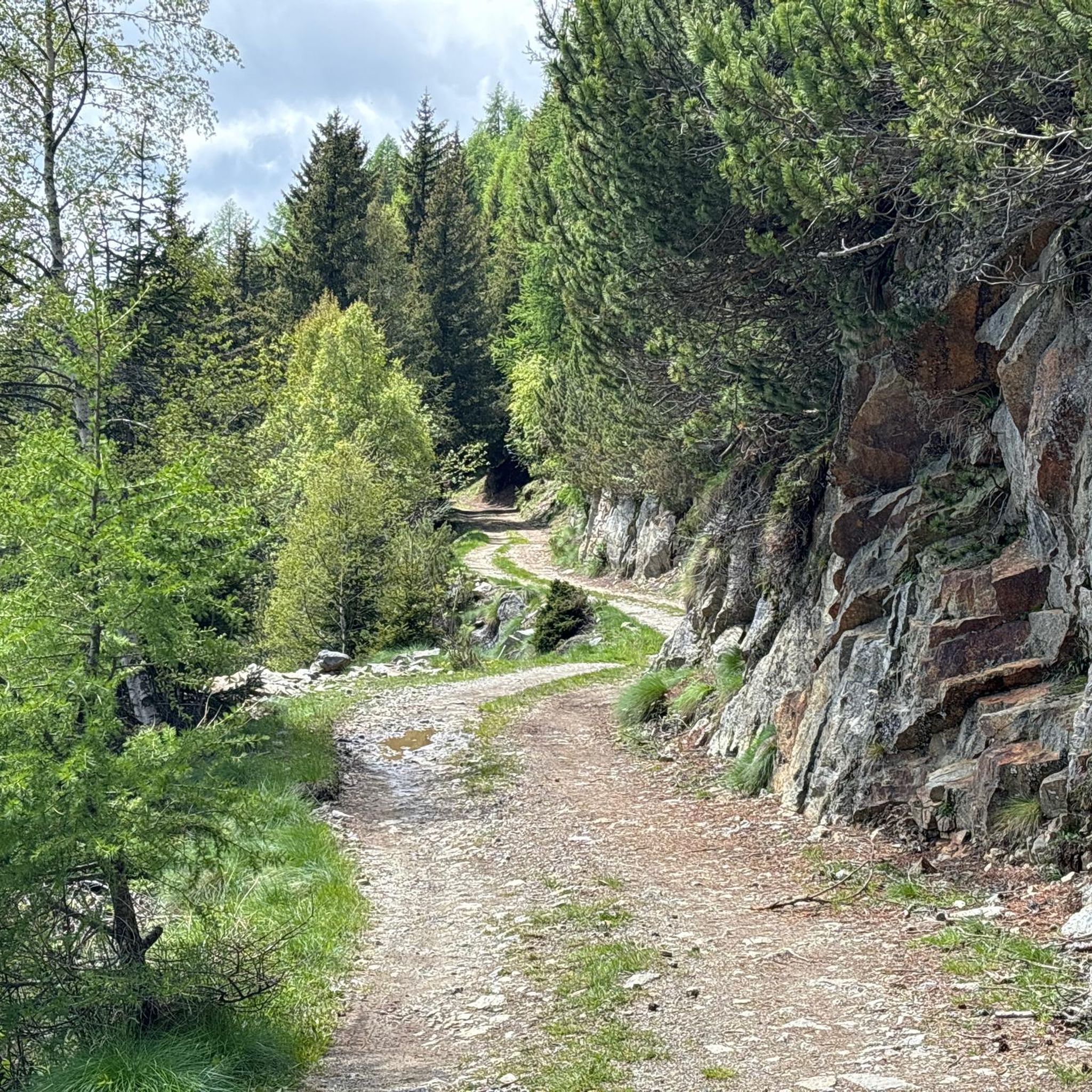
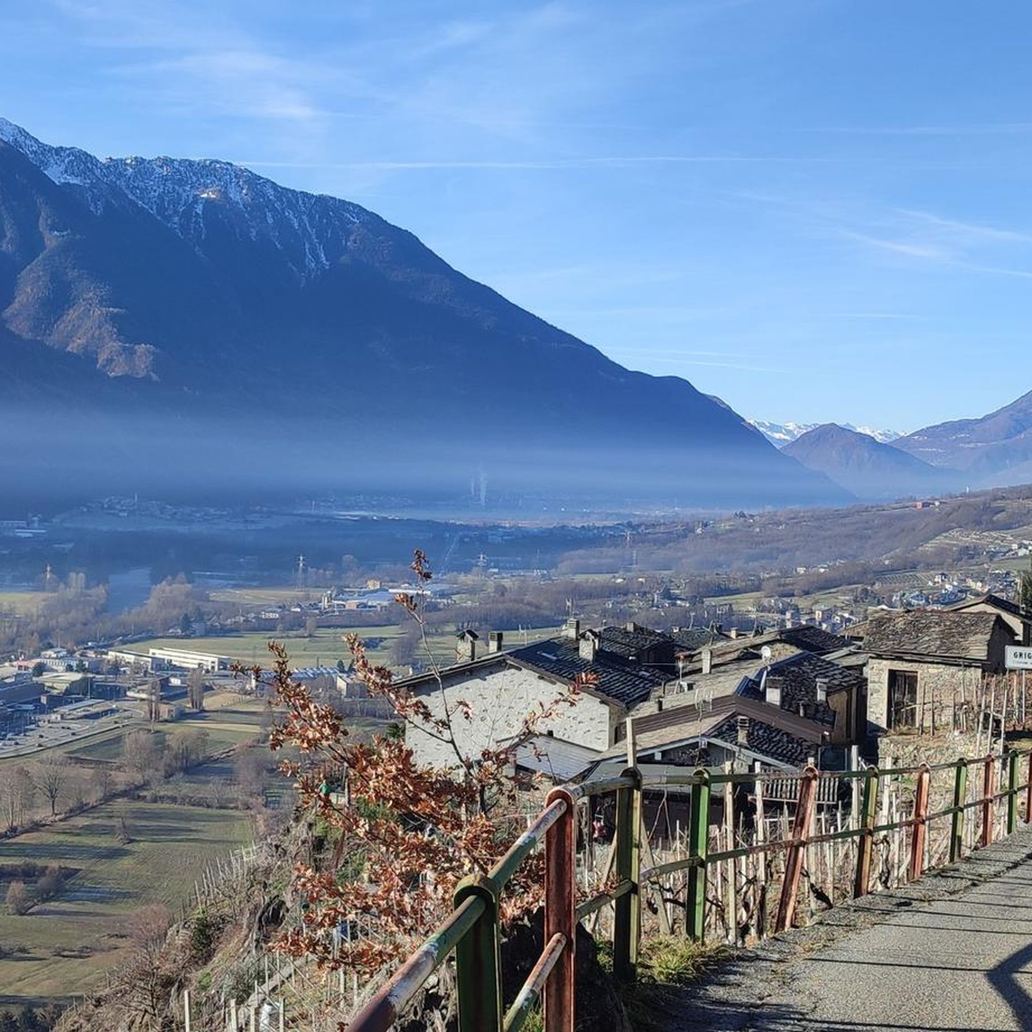
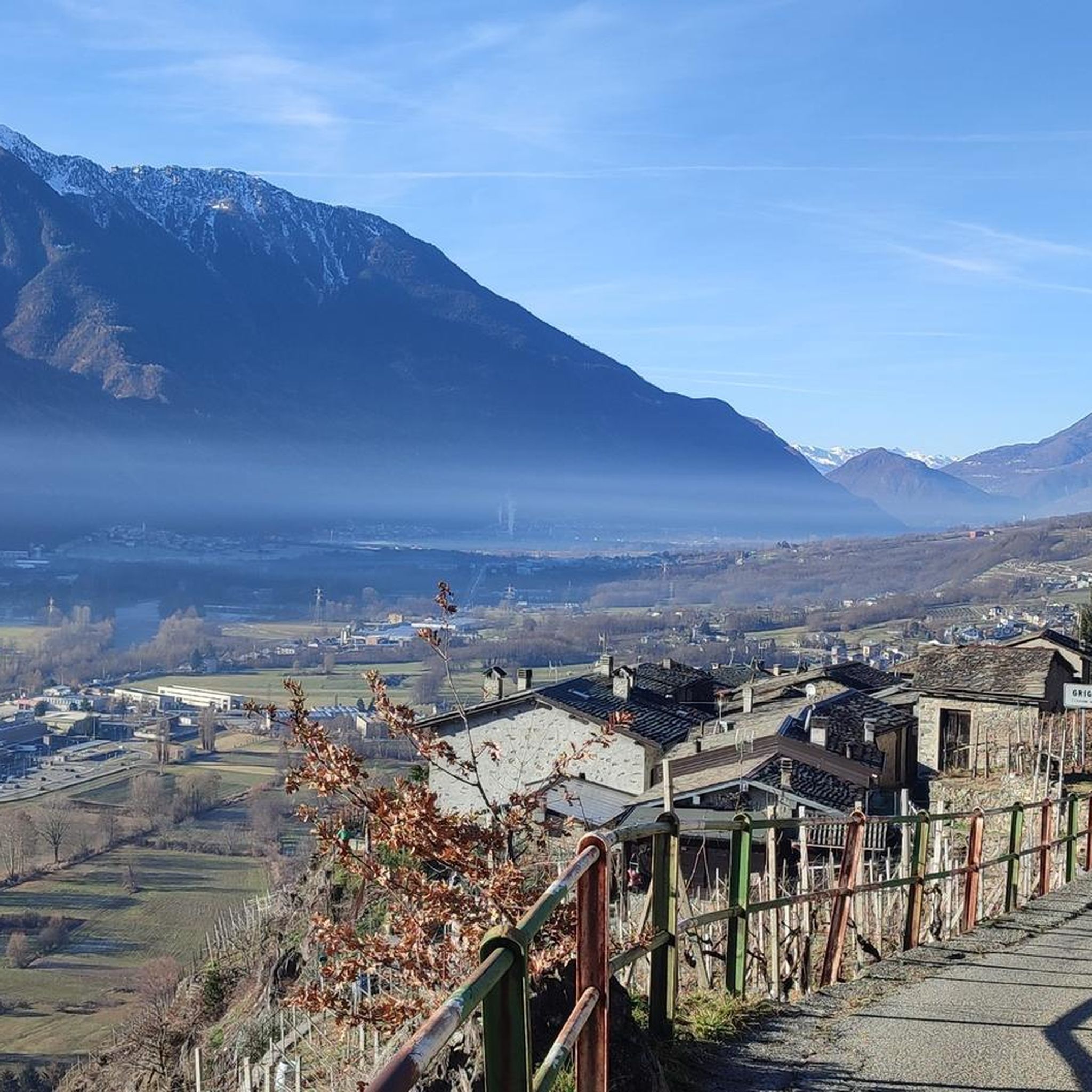
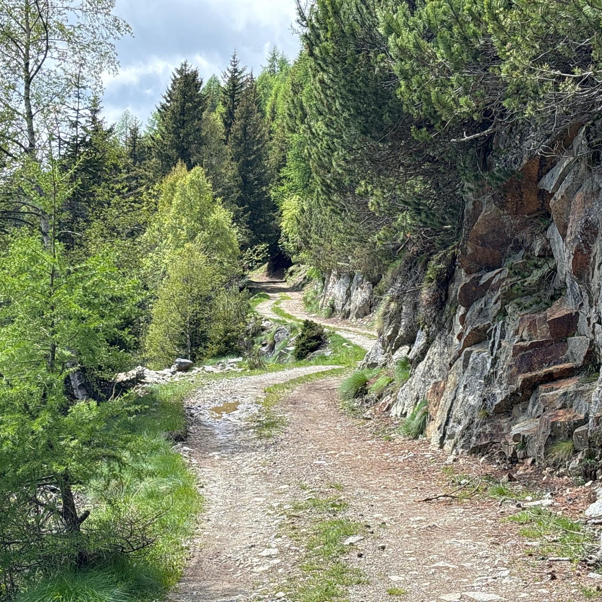
Hiking around Castione Andevenno offers a diverse landscape for outdoor enthusiasts. The region is characterized by terraced vineyards on the southern slopes of the Adda Valley, providing unique scenic backdrops. Surrounding alpine and mountainous terrain presents opportunities for challenging routes with significant elevation gains. Additionally, trails lead through dense forests and green pastures, contributing to the varied natural immersion.
Best hiking trails around Castione Andevenno
- The most popular hiking route is Marian Way of the Alps - Stage 3,…
Last updated: October 10, 2026
4.9
(12)
44
hikers
24.5km
07:03
590m
590m
Hard hike. Very good fitness required. Easily-accessible paths. Suitable for all skill levels.
4.5
(6)
49
hikers
15.5km
05:34
940m
940m
Hard hike. Very good fitness required. Sure-footedness, sturdy shoes and alpine experience required.

5.0
(5)
27
hikers
14.1km
04:07
370m
370m
Moderate hike. Good fitness required. Mostly accessible paths. Sure-footedness required.
5.0
(1)
61
hikers
Moderate hike. Good fitness required. Easily-accessible paths. Suitable for all skill levels.
3.7
(3)
28
hikers
10.7km
03:34
540m
540m
Hard hike. Good fitness required. Sure-footedness, sturdy shoes and alpine experience required.
Get access to more routes and recommendations from other explorers.
Already have an account?
Our route recommendations are based on thousands of hikes, rides, and runs completed by other people on komoot.
Start today with a free account
Your next adventure awaits.

Tips from the Community

Starting point for the Alla Memoria trail
0
0
Cycle-pedestrian crossing near the Bocciodromo in Sondrio.
0
0
Splendid view over Valtellina.
0
0
From the Ligari area, a trail starts that, passing through Piastorba, reaches Monte Rolla. With an MTB, it is possible to descend from the cross on the promontory to Ligari via the same trail, very difficult. Beware of stones and roots, especially if wet.
0
0

The rock carvings are very beautiful to see: many figures of prayer, some armed figures, and cup marks. This site is smaller than the Rupe Magna di Grosio but is very evocative due to the numerous anthropomorphic figures. A museum is being set up in the farmhouse next to the rock, but work seems to be proceeding slowly.
0
0

Panoramic viewpoint in Forcola
0
0
I'm updating the panoramic viewpoint on the Bernina Pass (300 meters north of the point marked on the map).
0
0

Frequently Asked Questions
How many hiking trails are available in Castione Andevenno?
Castione Andevenno offers a diverse network of nearly 20 hiking trails. These routes cater to various fitness levels, from easy walks to challenging alpine treks, ensuring there's something for every outdoor enthusiast.
Are there easy or family-friendly hiking options in Castione Andevenno?
Yes, Castione Andevenno provides several easy and accessible paths suitable for families and beginners. While the region is known for its challenging alpine terrain, you can find routes that are shorter in duration and require less strenuous effort. For example, the View from the Pedestrian and Cycle Bridge – Pedestrian and Bicycle Bridge loop from Caiolo is a moderate option that is relatively flat and enjoyable.
What kind of landscapes can I expect to see while hiking in Castione Andevenno?
The hiking trails in Castione Andevenno showcase a rich variety of landscapes. You'll encounter distinctive terraced vineyards, especially along routes like the historic Via dei Terrazzamenti. Many paths also lead through dense forests, verdant pastures, and offer breathtaking views of the surrounding alpine and mountainous terrain. The region's proximity to the Adda River means some trails provide views or access to the river plain.
Are there any circular hiking routes in Castione Andevenno?
Yes, there are several circular routes available. A notable challenging loop is the Ligari Village – Croce dell'Alpe Poverzone loop from Castione Andevenno, which offers alpine scenery and significant elevation changes. For a more moderate option, consider the Start of the bike and pedestrian path – Garibaldi Square, Sondrio loop from Castione Andevenno, which takes you through the Adda River plain.
What are some interesting landmarks or attractions to see along the hiking trails?
Hikers can discover various historical and natural attractions. You might encounter the Parish Church of St. John the Baptist or the Venosta Fortress, offering panoramic views. The Sanctuary of Santa Maria della Sassella, surrounded by vineyards, is another significant site. For natural beauty, consider visiting Lake Lagazzuolo or the impressive Suspension Bridge over the Cassandre of the Mallero.
What is the best time of year for hiking in Castione Andevenno?
The best time for hiking in Castione Andevenno generally spans from spring through autumn. During these seasons, the weather is most favorable, and the terraced vineyards are vibrant. While some lower-altitude trails might be accessible in winter, many alpine routes can be challenging due to snow and ice, requiring specialized gear and experience.
Are there any long-distance or pilgrimage routes that pass through Castione Andevenno?
Yes, Castione Andevenno is part of significant long-distance routes. The Marian Way of the Alps - Stage 3 is a challenging pilgrimage route that traverses terraced vineyards and devotional sites. The broader Via dei Terrazzamenti, a wine hiking trail, also offers cultural significance and scenic beauty, often forming part of longer multi-day hikes.
What do other hikers enjoy most about the trails in Castione Andevenno?
The trails in Castione Andevenno are highly rated by the komoot community, with an average score of 4.5 stars from over 460 reviews. Hikers frequently praise the unique experience of walking through ancient terraced vineyards, the stunning alpine vistas, and the diverse range of routes that cater to different skill levels.
What should I consider regarding difficulty and duration for hikes in this region?
Hikes in Castione Andevenno vary significantly. You'll find easy paths lasting up to 2 hours, moderate hikes requiring good fitness for up to 5 hours, and hard, long-distance treks demanding very good fitness and alpine experience, often exceeding 5 hours. Always check the specific route details for distance, elevation gain, and estimated duration to match your fitness level.
Are there options for refreshments or places to stay overnight along the trails?
While specific cafes directly on every trail are not guaranteed, the region has charming villages where you can find refreshments. For longer treks, there are mountain huts available, such as the Cesare Ponti Hut and Alpe Granda Hut, which can serve as rest stops or overnight accommodations for multi-day adventures.
What kind of gear is recommended for hiking in Castione Andevenno?
Given the diverse terrain, sturdy hiking shoes are essential for all trails. For more challenging alpine routes, especially those with significant elevation gains, good fitness, sure-footedness, and potentially alpine experience are required. Layered clothing is advisable due to changing mountain weather, and always carry enough water and snacks.
Most popular routes around Castione Andevenno
Most popular attractions around Castione Andevenno

Get inspired with the komoot mobile app


Explore more
Browse the best Hikes in other regions.
