The best MTB trails around Azzone
4.3
(731)
4,356
riders
147
rides
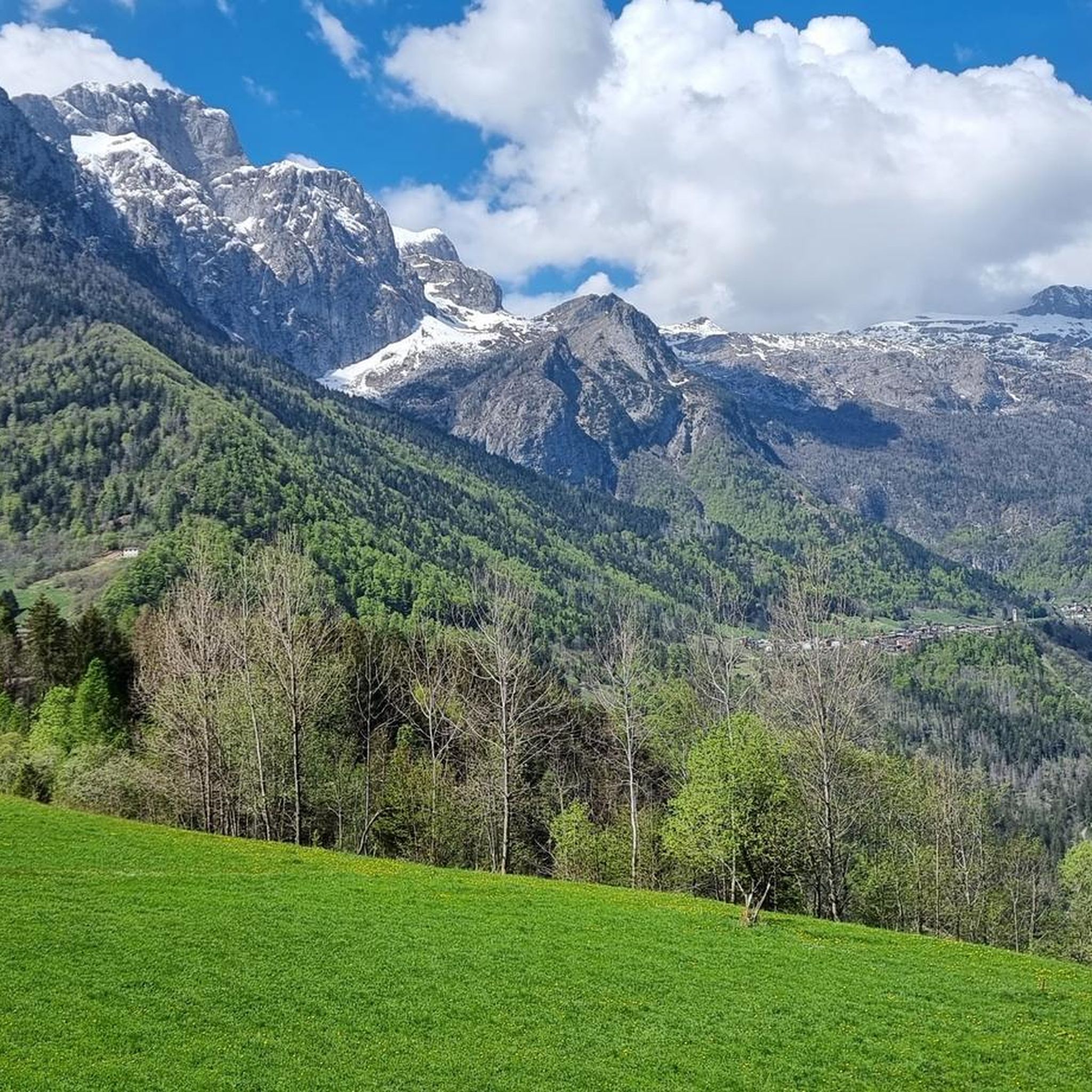
Mountain biking around Azzone offers a diverse landscape characterized by mountainous terrain, including challenging passes and scenic valleys. The region features significant elevation changes, with routes traversing both open mountain paths and forested sections. This area provides a range of mountain bike trails suitable for various skill levels, from demanding climbs to exhilarating descents.
Best mountain bike trails around Azzone
- The most popular mountain bike trail is Beautiful gravel road – San Fermo Hut loop from Azzone, a 19.4…
Last updated: October 9, 2026
4.7
(38)
124
riders
39.7km
05:01
1,660m
1,660m
Hard mountain bike ride. Very good fitness required. Advanced riding skills necessary. Some portions of the route may require you to push your bike.
4.6
(40)
173
riders
30.3km
02:51
960m
960m
Hard mountain bike ride. Very good fitness required. Advanced riding skills necessary. Some portions of the route may require you to push your bike.

154
riders
34.8km
03:45
1,250m
1,250m
Hard mountain bike ride. Very good fitness required. Advanced riding skills necessary.
4.8
(16)
100
riders
31.3km
03:51
1,450m
1,450m
Hard mountain bike ride. Very good fitness required. Advanced riding skills necessary.
4.6
(18)
46
riders
56.6km
04:37
1,440m
1,440m
Hard mountain bike ride. Very good fitness required. Suitable for all skill levels.
Get access to more routes and recommendations from other explorers.
Already have an account?
Our route recommendations are based on thousands of hikes, rides, and runs completed by other people on komoot.
Start today with a free account
Your next adventure awaits.

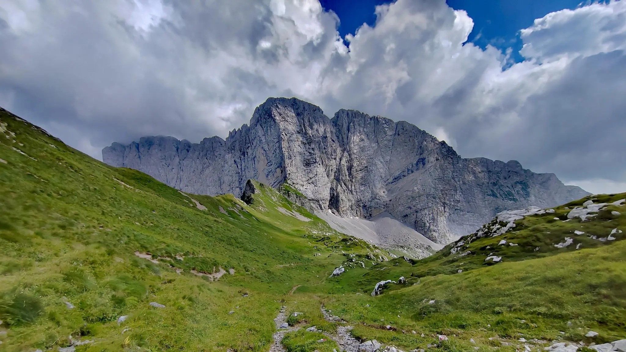
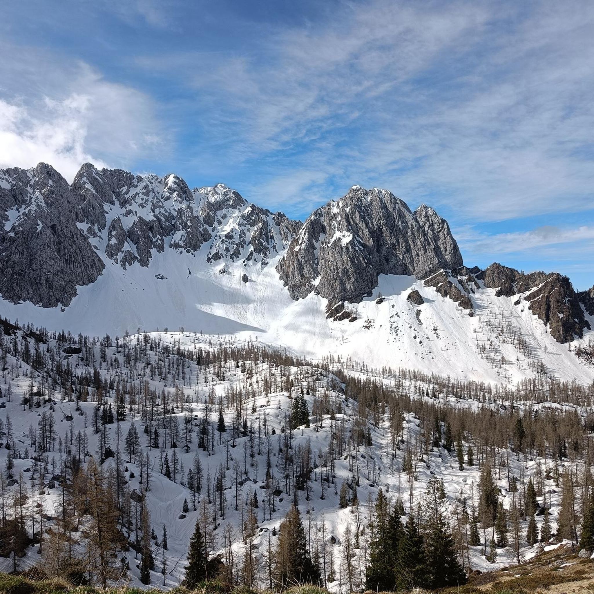
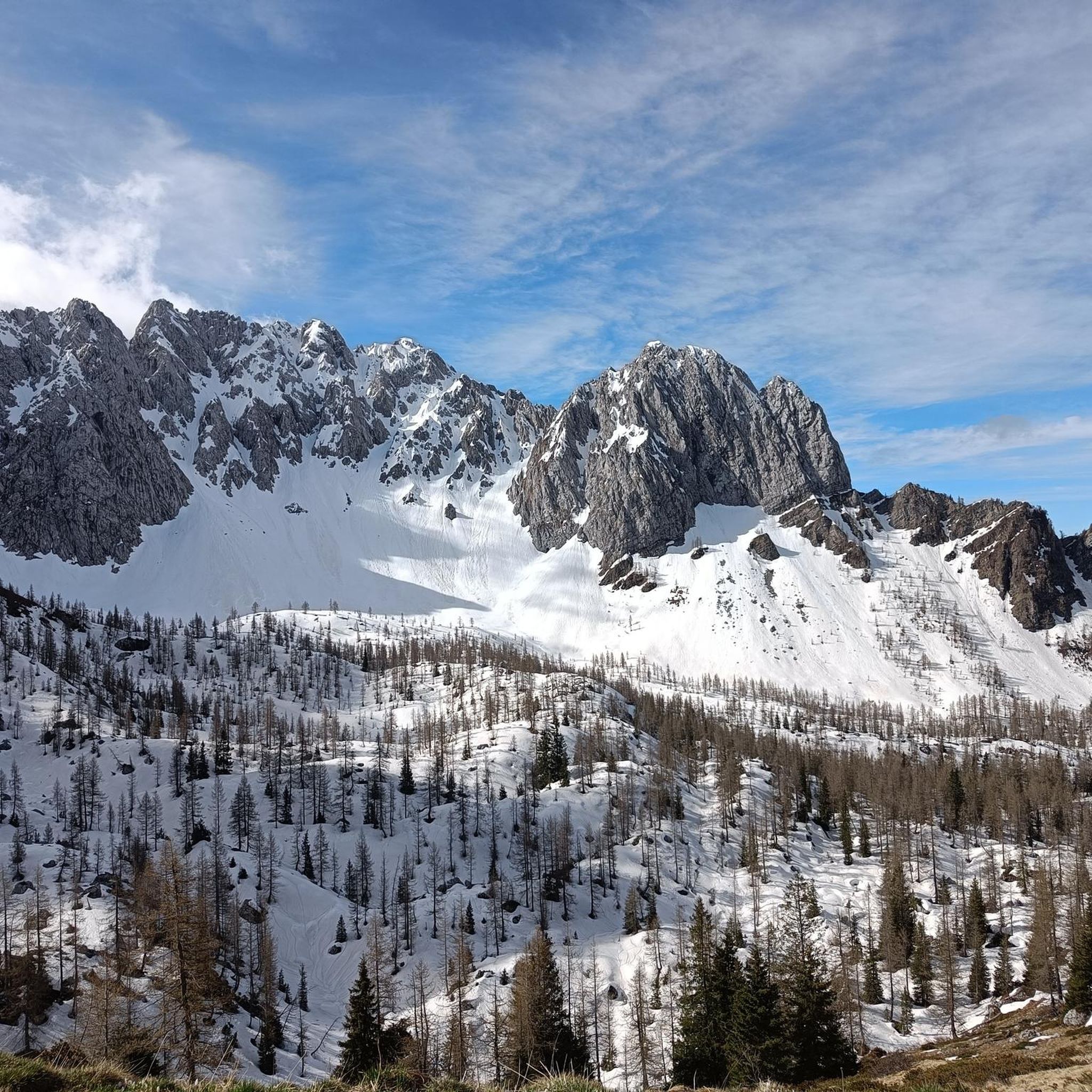
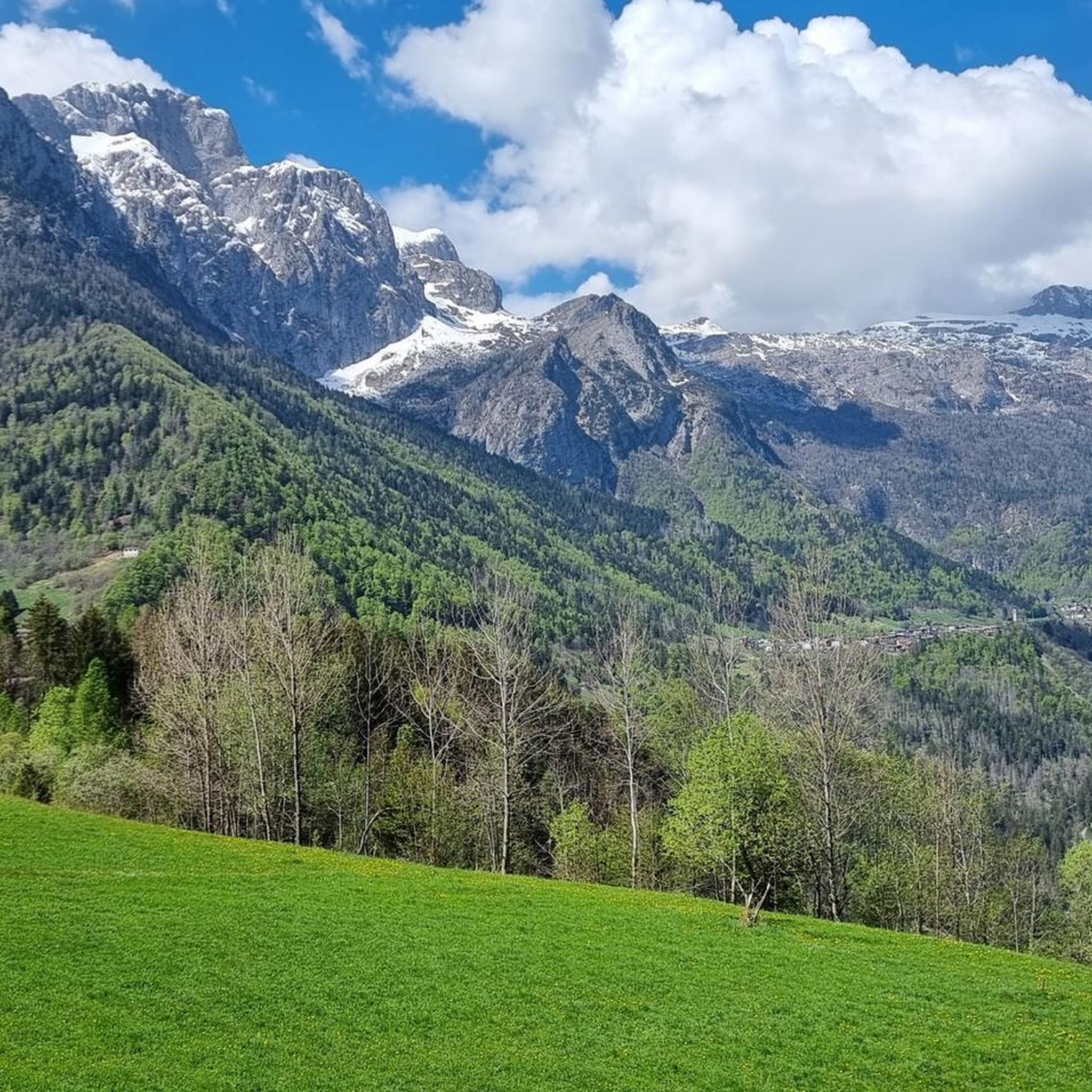



Tips from the Community

Very kind and friendly staff
0
0

It is a grassy saddle located on the ridge of the Costone, just above the Croce del Costone and before the terrain becomes rockier towards the Pale di San Fermo. It is a transit point, not a summit, but it is very scenic and represents an important junction for various itineraries.
0
0
The Church of San Fiorino is one of Borno's small historical wonders, and thanks to the sources I consulted, I can give you an accurate, complete, and up-to-date overview. 🕍 Identity and location It is a subsidiary church dedicated to San Fiorino / San Floriano, the Roman legionary invoked against fires and floods. It stands northwest of Borno, along the road leading to Lake Lova, in a very quiet grassy and wooded area. 📜 Origins and history The sources agree on a long and layered history: 11th–13th century: first documented construction phases. 1410: appears in the list of ancient Camun churches subject to contribution to the Bishop of Brescia. 1456: a papal bull establishes the curatial benefit of S. Florini. 1532: cited in the Queriniano Catalogue of ecclesiastical benefices. 1567–1573: recorded in pastoral visits as a country church. Archaeological findings During restorations and excavations, artifacts have emerged that suggest the presence of an ancient Roman place of worship: a fragment of an altar dedicated to Mercury, with a Latin inscription; a Roman burial with the mark "LLAESEC"; stone elements with grooves typical of ancient thresholds. These findings strengthen the hypothesis that the church was built on a previous pagan temple. 🏛️ Architecture The church is simple and harmonious, typical of Camun rural chapels: Single nave with two bays. Rectangular presbytery with a barrel vault. Mixed masonry bell tower. Sober facade, with an off-center stone portal and traces of frescoes. Inside, you can find: 16th-century frescoes (partially mutilated), a 15th-century fresco with San Fiorino in the guise of a legionary, architectural elements from different eras. 🔧 Restorations The church, deteriorated by time, was restored in 1978 thanks to Don Costantino Ravelli.
0
0
🏞️ Lago di Lova — Borno (Valle Camonica) 📌 Identity and characteristics Lago di Lova is a small alpine lake located at about 1300 m altitude, in a glacial basin between: Pizzo Camino (2491 m) Monte Mignone (1742 m) It is fed by two small streams and flows downstream, forming the San Fiorino stream. The environment is typical of the Lombard Prealps: red fir woods on the south side, wide pasture on the north side, luminous and very tranquil atmosphere. 🚶♂️ How to get there From Borno – Navertino (the most classic) Elevation gain: about 400 m Time: 1 h – 1 h 15’ Path initially asphalted up to the Trattoria Navertino, then dirt and steep in some sections. Mixed terrain: cobblestones, dirt, dense forest. From Ossimo Superiore Steep mule track up to Baleggie, then a flat traverse towards the lake. From Villa (Lozio) Ascent to Colle del Mignone (1526 m) and descent towards the lake. All itineraries are for pedestrians or MTB only: motorized vehicles are prohibited. 🏡 Services and atmosphere At the lake, you'll find Chalet Lova, highly appreciated for its sandwiches and typical dishes, with outdoor tables and a picnic area. The place is ideal for: families, hikers, photographers, scenic breaks before heading up towards Mignone or Varicla. 🔗 Hiking connections Lago di Lova is a central hub for several CAI itineraries: Colle Mignone → Monte Mignone → loops towards Agol, Averta, Varicla Rifugio Laeng (via 110/182) Malga Mignone (steep but direct ascent) Rifugio San Fermo (upper part of CAI 82) ⭐ Why it's special It is one of the most iconic and accessible places on the plateau. It offers a perfect mix of forest, water, and pastures. It is a starting point for more challenging itineraries but also an ideal destination for a short trip. It has a serene and bright atmosphere, much loved by families and photographers.
1
0
🐄 Malga Mignone — Borno (Valle Camonica) 📍 Location Malga Mignone is located above Lago di Lova, along the ridge that climbs towards: Colle Mignone, Monte Mignone, the junction for Rifugio Laeng, the panoramic trail towards Rifugio San Fermo. It is an important hub between trails 103, 104, 109, 110, 182 and the upper section of CAI 82. 🏞️ Environment The mountain hut is located in an area: grassy and open, with a view of Lago di Lova and the peaks of the Camino group, surrounded by huts and summer pastures. It is a perfect place for an intermediate break before climbing towards Varicla or towards the San Fermo ridge. 🚶♂️ How to get there From Borno – Navertino → Lago di Lova The most common route: Departure from Navertino. Climb through the woods to Lago di Lova (trail 109). Skirt the lake. Take the trail that climbs towards the hut: steep, suitable for hikers accustomed to elevation gain. From Lago di Lova → Colle Mignone → Malga Mignone Climb on steep grassy slopes, but with an intuitive direction. Possible loop with return on dirt roads. 🔗 Main connections From Malga Mignone, trails depart or pass towards: Rifugio Laeng (via trails 110 and 182) Rifugio San Fermo (continuing left, section not always marked) Monte Mignone (1743 m) Colle Mignone (1535 m), a crossroads of various itineraries ⭐ Why it's an important point It is the crossroads of almost all itineraries in the Lova–Varicla area. It offers wide views and a very bright environment. It is an excellent point for medium-difficulty hiking loops. It allows you to modulate the trip: more challenging climbs (Mignone, Arano, Laeng) or gentler ones (return to Lova).
0
0
The Church of San Fiorino is one of the small historical and spiritual pearls of the Borno plateau (Valle Camonica): a simple, intimate building, but layered with history, ancient cults, and surprising discoveries. 🕍 Identity and location The small church stands north of the inhabited area of Borno, along the road leading to Lova, in a grassy and silent area, slightly set back from the village. It is a subsidiary church dedicated to San Fiorino / San Floriano, a figure venerated as a protector against fires and floods. 📜 Origins and history The first attestations date back to the 15th century, but tradition and archaeological findings suggest an even older origin. Key points of its history: 1456: A bull of Callixtus III mentions the chapel of Sancti Florinj among the Camunican churches subject to contribution. 1532: It appears in the Queriniano Catalogue of ecclesiastical benefices. 16th century: It is registered in pastoral visits as a country church. Around 1650: Extensions and renovations that give it its current appearance. 1978–1980: Modern restorations that bring to light frescoes and Roman artifacts. 🏛️ Architecture The church is simple and harmonious, typical of Camunican rural chapels: Single nave with two bays. Rectangular presbytery with a barrel vault. Mixed masonry bell gable. Sober facade, with a decentered stone portal and traces of ancient frescoes. Inside, you can find: 16th-century frescoes, partly mutilated; a 15th-century fresco depicting San Fiorino as a Roman legionary; architectural elements from different eras. 🏺 Archaeological finds During the 1980 restorations, artifacts emerged that suggest the presence, in Roman times, of a small temple dedicated to Mercury: a fragment of a Roman altar with a dedication to Mercury; a Roman burial with the inscription “LLAESEC”; stone elements with grooves typical of ancient thresholds. These findings make the site particularly fascinating: a place where Christian worship seems to have overlapped with a previous pagan sacred site.
0
0
It is not Lake San Fiorino but Lake Lova
0
0
Frequently Asked Questions
What types of mountain bike trails are available around Azzone?
Azzone offers a diverse range of mountain bike trails, characterized by mountainous terrain with significant elevation changes. You'll find routes traversing both open mountain paths and forested sections, including challenging passes and scenic valleys. The network includes options for various skill levels, from moderate to difficult.
Are there mountain bike trails suitable for beginners or less experienced riders in Azzone?
While many trails in Azzone are rated as difficult, there are still options for less experienced riders. The region offers 15 easy and 67 moderate mountain bike routes. These trails typically feature less extreme elevation changes and technical sections, providing a good starting point for those new to mountain biking in the area.
When is the best time of year to go mountain biking in Azzone?
The best season for mountain biking in Azzone is generally from late spring through early autumn (May to October). During these months, the weather is typically more stable, and mountain passes are clear of snow, offering optimal conditions for exploring the diverse terrain. Always check local weather forecasts before heading out.
Are there any family-friendly mountain bike routes in Azzone?
Yes, while many routes are challenging, Azzone does offer family-friendly mountain bike options. Look for trails rated as 'easy' or 'moderate' which tend to have smoother surfaces and less demanding climbs, making them suitable for families with children or those seeking a more relaxed ride.
What are some notable landmarks or attractions I can see while mountain biking in Azzone?
Many mountain bike routes in Azzone pass by interesting natural and historical landmarks. You might encounter the impressive Gleno Dam and Lake, or the historic Savina Chapel. Some trails also lead to mountain huts like the Città di Clusone bivouac or the Carlo Medici Refuge at Cassinelli, offering scenic rest stops.
Where can I find parking and access points for mountain bike trails in Azzone?
Parking availability varies by trailhead. Many routes, especially those starting directly from Azzone, will have designated parking areas within or on the outskirts of the town. For routes that begin at higher elevations or in more remote areas, parking might be limited to small pull-offs or specific mountain hut parking lots. It's advisable to check the route details on komoot for specific parking information before your ride.
Do I need any special permits to mountain bike on trails around Azzone?
Generally, you do not need special permits for mountain biking on the established trails around Azzone. However, it's always good practice to respect local regulations, especially if riding through protected areas or private land. Always stay on marked trails to minimize environmental impact.
Are there any good loop trails for mountain biking in Azzone?
Yes, Azzone features several excellent loop trails. For example, the Passo del Vivione – Rifugio Passo del Vivione loop from Azzone is a challenging 26.7-mile path that navigates through a mountain pass. Another option is the Rifugio Passo del Vivione loop from Azzone, which is a 51.8 km difficult route.
What do other mountain bikers say about the trails in Azzone?
The mountain bike trails in Azzone are highly rated by the komoot community, with an average score of 4.4 stars from over 600 reviews. Reviewers often praise the challenging mountain passes, the stunning alpine landscapes, and the varied terrain, which includes both gravel roads and technical descents. Many appreciate the sense of adventure and the rewarding views.
Are there options for advanced mountain bikers seeking a challenge?
Absolutely. Azzone is well-suited for advanced mountain bikers, with 80 routes rated as 'difficult'. Trails like the Madonnina dei Campelli – Descent from Passo Campelli loop from Azzone offer significant descents and cover long distances, providing a demanding and exhilarating experience through mountain passes.
Can I find places to eat or drink near the mountain bike trails in Azzone?
Yes, many mountain bike routes in Azzone pass by or lead to mountain huts (rifugi) which often offer food and refreshments. For example, the Beautiful gravel road – San Fermo Hut loop from Azzone leads to a mountain hut. Additionally, the town of Azzone itself and surrounding villages provide various cafes and restaurants where you can refuel after your ride.
What is the total number of mountain bike routes available in the Azzone area?
There are over 160 mountain bike routes available for exploration in the Azzone area, offering a wide variety of distances, difficulties, and scenic experiences.
Most popular routes around Azzone
Most popular attractions around Azzone

Get inspired with the komoot mobile app


Explore more
Browse the best MTB trails in other regions.
