The best walks and hikes around Costa Masnaga
4.3
(4775)
22,086
hikers
19
hikes
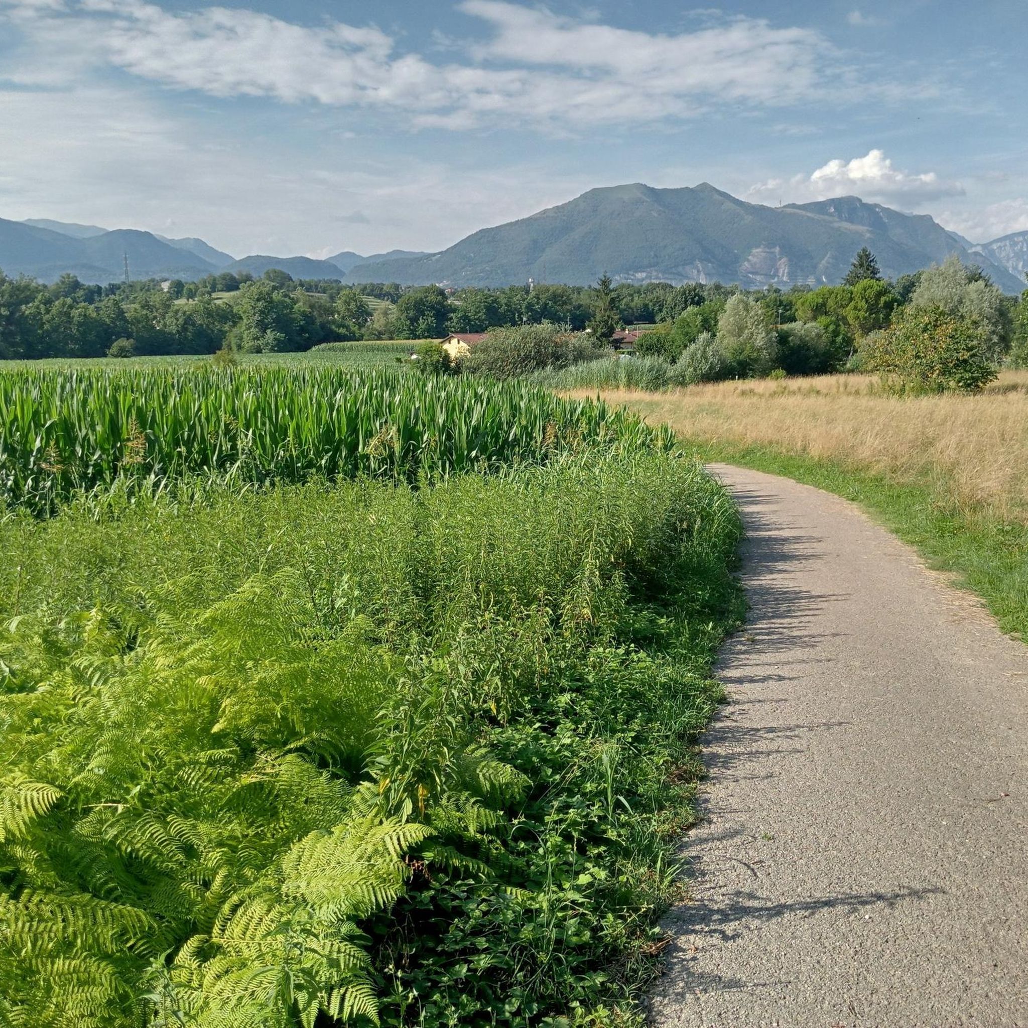
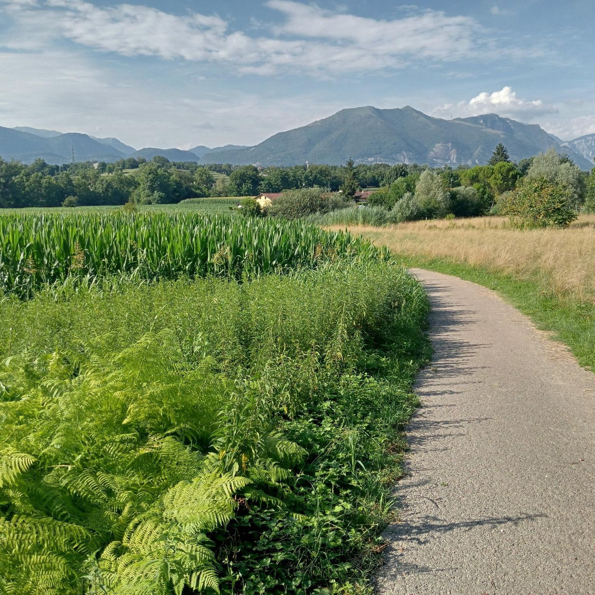
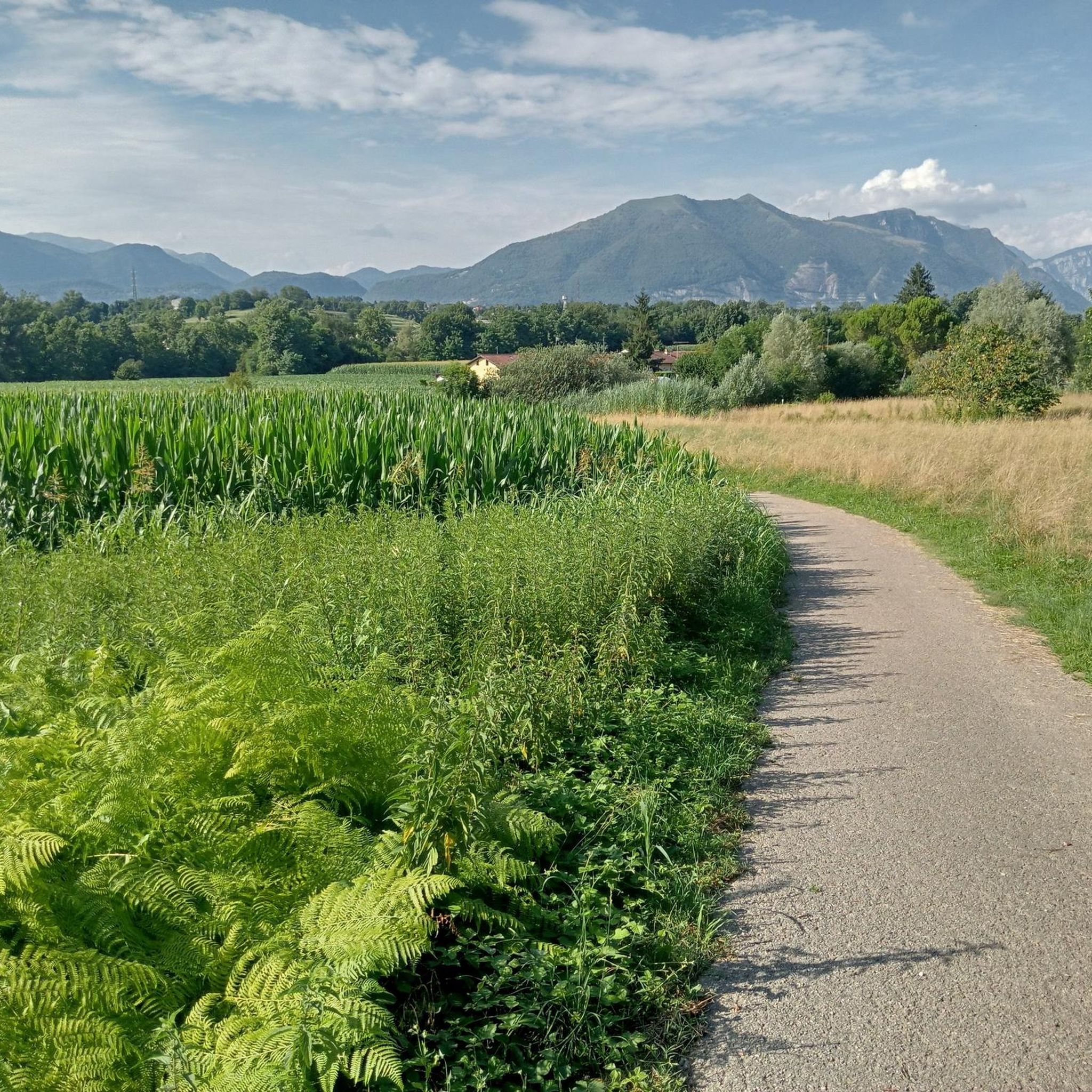
Hiking around Costa Masnaga offers diverse landscapes within Italy's Lombardy region, characterized by the picturesque Brianza area. The terrain transitions from plains to the initial slopes of mountains like Monte Cornizzolo, providing varied hiking opportunities. Notable natural features include the Lambro River and Lake Pusiano, with views of other lakes such as Como and Annone from higher elevations. This region provides a mix of scenic views and varied terrain for outdoor enthusiasts.
Best hiking trails around Costa Masnaga
- The most…
Last updated: July 9, 2026
4.2
(9)
15
hikers
7.22km
01:59
110m
110m
Easy hike. Great for any fitness level. Easily-accessible paths. Suitable for all skill levels.
4.5
(2)
11
hikers
13.4km
03:36
170m
170m
Moderate hike. Good fitness required. Easily-accessible paths. Suitable for all skill levels.

Sign up for free
4.3
(24)
83
hikers
10.9km
02:56
140m
130m
Moderate hike. Good fitness required. Easily-accessible paths. Suitable for all skill levels.
4.8
(9)
41
hikers
7.01km
01:50
60m
60m
Easy hike. Great for any fitness level. Easily-accessible paths. Suitable for all skill levels.
5.0
(4)
26
hikers
11.2km
03:01
140m
140m
Moderate hike. Good fitness required. Easily-accessible paths. Suitable for all skill levels.
Get access to more routes and recommendations from other explorers.
Sign up for free
Already have an account?
Our route recommendations are based on thousands of hikes, rides, and runs completed by other people on komoot.
Start today with a free account
Your next adventure awaits.
Login or Signup

Tips from the Community

unfortunately done after a windy day with paths covered in broken branches, but the place is worth a hike
0
0

I confirm, not passable, a barrier has been added to prevent crossing
0
0


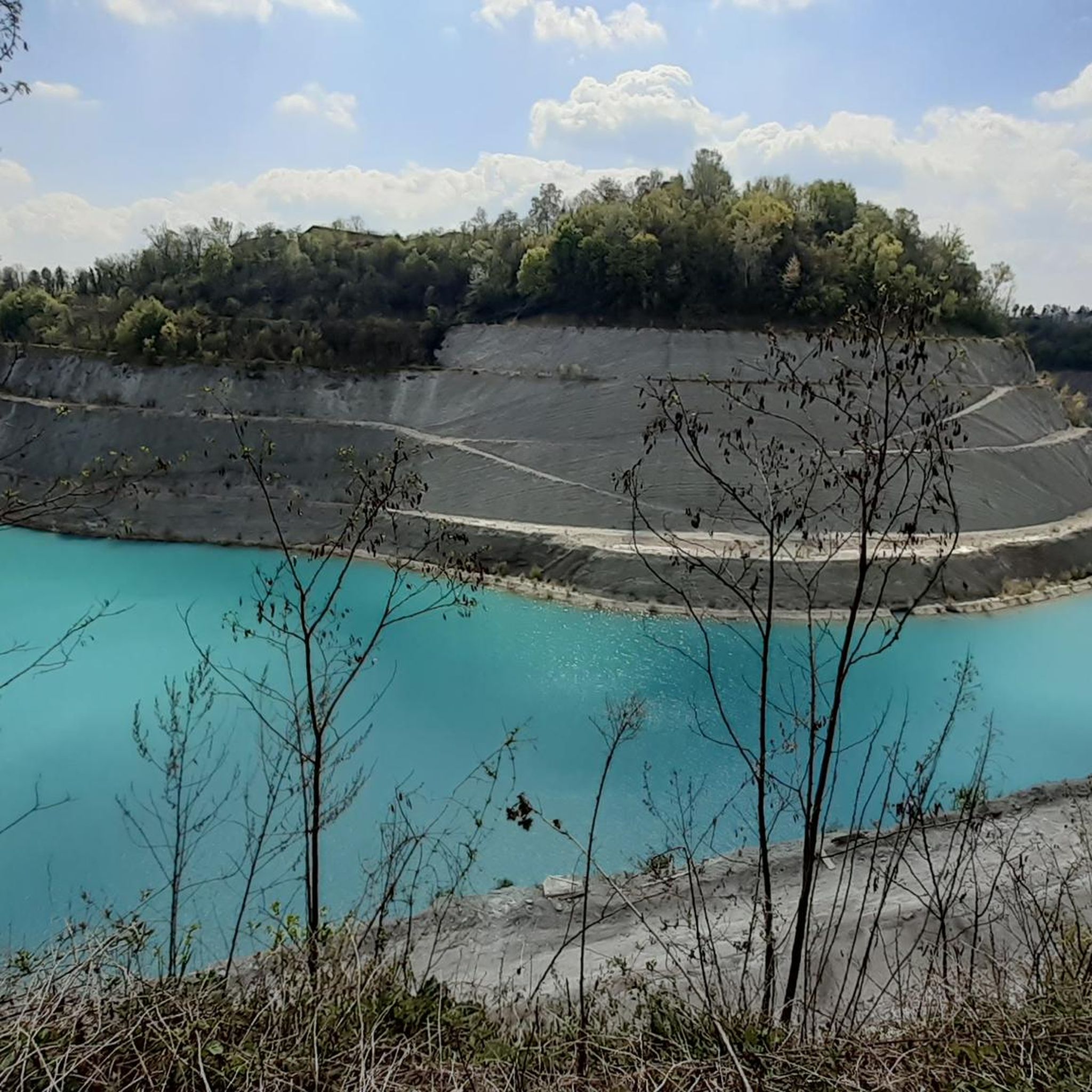
It can be done by bike somehow, but the water is too deep to walk
0
0

A truly incredible valley, between cities and towns, creates a natural area rich in native vegetation and fauna. The cycle path that runs along the Lambro is beautiful, although not recommended for those in BDC.
3
0

The Trovante is the anthropomorphic silhouette that stands out through a play of light and shadow on the side of the Corno Birone and which represents, for the poet and painter Gaetano Orazio, his daimon, the ultimate meaning of his artistic research, the epiphany of that creative drive that accompanied him to the banks of the Rio Toscio to paint while questioning his identity. This figure takes on the value of an identifying element and a protecting deity, becoming a uniting element for the ten municipalities of the area from which it can be observed: Annone Brianza, Barzago, Bosisio Parini, Bulciago, Civate, Costamasnaga, Cremella, Garbagnate Monastero, Molteno and Monticello Brianza.
1
0

The Baggero Oasis is an area with small lakes and a waterfall that form a beautiful walk.
2
0
A wonderful waterfall in the Baggero Oasis park.
1
1
Frequently Asked Questions
How many hiking trails are available around Costa Masnaga?
There are over 20 hiking trails around Costa Masnaga, offering a variety of experiences. The komoot community has rated these routes with an average of 4.3 stars, and more than 23,000 hikers have explored the area using komoot.
What kind of terrain can I expect on hikes around Costa Masnaga?
The terrain around Costa Masnaga is quite diverse, transitioning from the plains of the Brianza region to the initial slopes of mountains like Monte Cornizzolo. You'll find paths winding through lush greenery, along the Lambro River, and offering views of lakes such as Pusiano, Como, Annone, and Garlate from higher elevations.
Are there any notable landmarks or viewpoints to discover while hiking near Costa Masnaga?
Yes, hikers can discover several interesting landmarks and viewpoints. You might encounter the historic San Pietro al Monte Abbey, or enjoy panoramic views from the Summit cross of Monte Cornizzolo, which offers vistas of multiple lakes. The intriguing Pyramids of Montevecchia, including the Cypress Peak, also provide unique sights and high vantage points.
Can I find any waterfalls on the hiking trails around Costa Masnaga?
Yes, there are opportunities to see waterfalls. For example, the Brenno Park – Baggero Oasis Waterfall loop from Costa Masnaga takes you past the Baggero Oasis Waterfall. You can also explore highlights like the Vallategna Waterfall.
What do other hikers enjoy most about the trails in Costa Masnaga?
Hikers frequently praise the diverse landscapes, which include river valleys, serene lake views, and the initial slopes of hills like Monte Cornizzolo. The komoot community has given the routes an average rating of 4.3 stars, highlighting the varied terrain suitable for different ability levels.
Are there family-friendly hiking options in Costa Masnaga?
Absolutely. Costa Masnaga offers many easy trails suitable for families. For instance, the Baggero twin lakes trail to Il Trovante is an easy 4.5-mile route that explores the area around the Baggero twin lakes, perfect for a family outing.
Are the hiking trails around Costa Masnaga suitable for dogs?
Many trails in the Costa Masnaga area are suitable for dogs, especially the paths that wind through natural areas like the Bosco della Gualdera or along the Lambro River. It's always a good idea to keep your dog on a leash and check local regulations for specific nature reserves or protected areas.
Are there any circular hiking routes available near Costa Masnaga?
Yes, there are several circular routes. A popular option is the Brenno Park – Baggero Oasis Waterfall loop from Costa Masnaga, which is a 6.7-mile trail. Another is the Brenno Park – Il Trovante loop from Costa Masnaga, offering a moderate 7-mile experience.
What are the options for parking when hiking in Costa Masnaga?
Parking is generally available near trailheads and in the towns surrounding Costa Masnaga. Specific parking details can often be found on individual route descriptions on komoot or by checking local municipal information for designated parking areas close to popular hiking spots.
How can I reach the hiking trails around Costa Masnaga using public transport?
Costa Masnaga is part of the Lombardy region's public transport network. While direct access to every trailhead might vary, you can typically reach the main towns and starting points via regional trains or buses. From there, some trailheads may be within walking distance or require a short local connection. It's advisable to check current schedules for trains and buses serving Costa Masnaga and nearby villages.
Are there any easy hiking trails for beginners around Costa Masnaga?
Yes, Costa Masnaga has a good selection of easy trails, with 15 out of 20 routes being classified as easy. The Baggero twin lakes trail to Il Trovante is an excellent choice for beginners, offering a gentle 4.5-mile path through scenic surroundings.
What are the unique natural features I might encounter on a hike in Costa Masnaga?
Hikers in Costa Masnaga can experience the picturesque Brianza region, the historical flow of the Lambro River, and the serene waters of Lake Pusiano. From higher points, you can also enjoy views of other significant lakes like Como, Annone, and Garlate. The landscape also includes the initial slopes of mountains such as Monte Cornizzolo and areas like the Bosco della Gualdera.
Are there any challenging hikes for experienced trekkers in Costa Masnaga?
While most trails are easy to moderate, the region offers some ascents that provide a good challenge. For instance, routes leading up to Monte Cornizzolo offer more strenuous climbs and rewarding panoramic views. There are 5 moderate trails available, such as the Bevera Stream Trail from Costa Masnaga to Oasi di Baggero, which is 8.3 miles long.
Most popular routes around Costa Masnaga
Most popular attractions around Costa Masnaga

Get inspired with the komoot mobile app


Explore more
Browse the best Hikes in other regions.
