The best mountain hikes around Torre Di Santa Maria
4.8
(11)
101
hikers
7
hikes
Mountaineering routes Torre Di Santa Maria traverse a dramatic Alpine setting in the Valmalenco valley, characterized by high alpine terrain and prominent peaks such as Mount Disgrazia, Pizzo Bernina, and Pizzo Scalino. The region features rugged beauty, vast mountain meadows, and fragrant forests, offering diverse scenery for mountaineering. Water features like the Val di Mello River and impressive waterfalls add to the natural grandeur. This area provides a comprehensive experience for outdoor enthusiasts, with numerous mountain huts offering essential rest…
Last updated: July 4, 2026
5.0
(2)
23
hikers
16.3km
11:41
1,590m
1,590m
Hard mountaineering route. Very good fitness required. Sure-footedness, sturdy shoes and alpine experience required.
4.5
(2)
13
hikers
10.9km
05:18
790m
790m
Hard mountaineering route. Very good fitness required. Sure-footedness, sturdy shoes and alpine experience required.

Sign up for free
10
hikers
12.4km
06:05
1,060m
1,060m
Hard mountaineering route. Very good fitness required. Sure-footedness, sturdy shoes and alpine experience required.
11
hikers
8.92km
03:57
610m
610m
Hard mountaineering route. Good fitness required. Sure-footedness, sturdy shoes and alpine experience required.
4.5
(2)
7
hikers
Hard mountaineering route. Very good fitness required. Mostly accessible paths. Sure-footedness required.
Get access to more routes and recommendations from other explorers.
Sign up for free
Already have an account?
Our route recommendations are based on thousands of hikes, rides, and runs completed by other people on komoot.
Start today with a free account
Your next adventure awaits.
Login or Signup
Popular around Torre Di Santa Maria
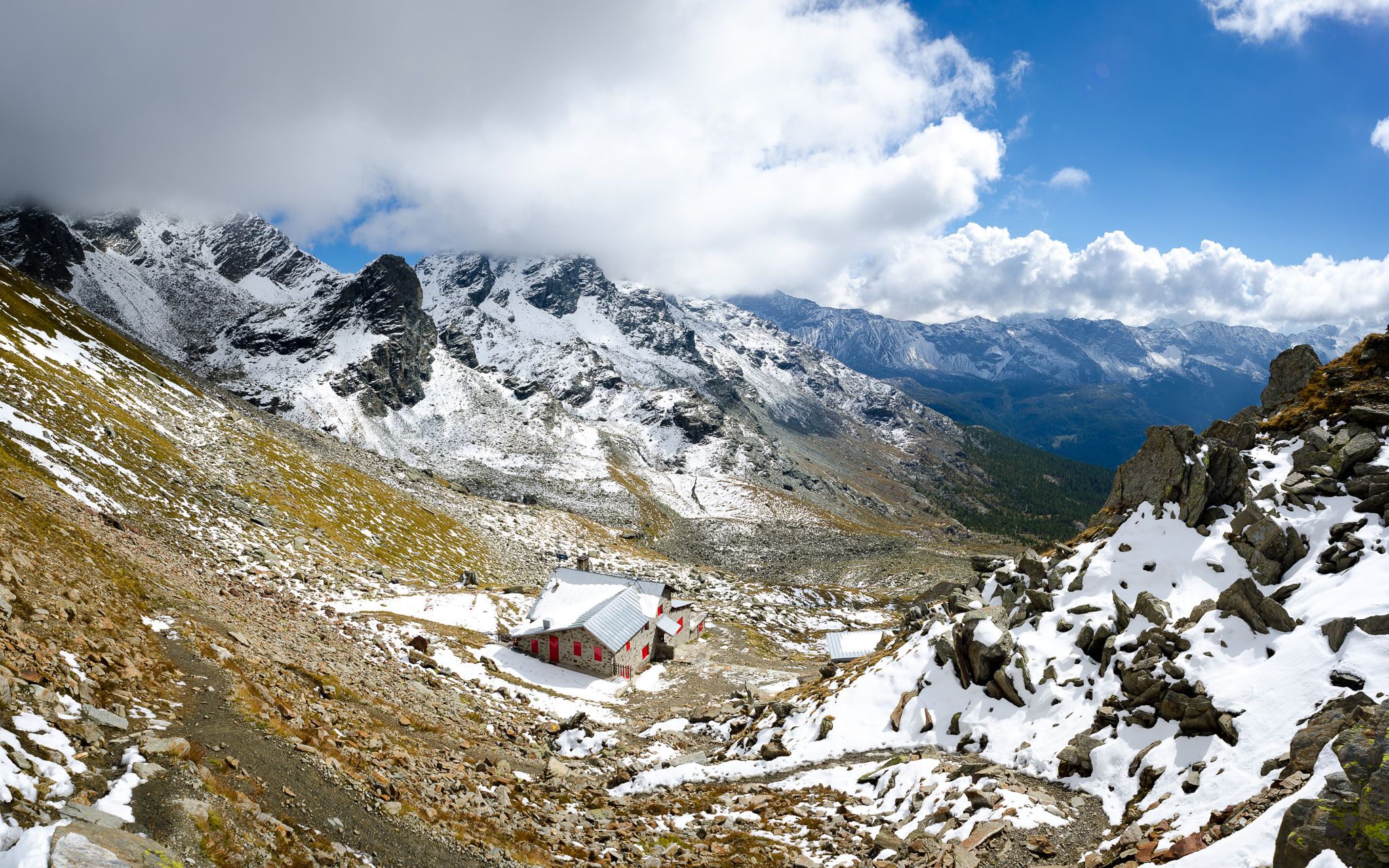
At the foot of the Bernina – Alta Via della Valmalenco
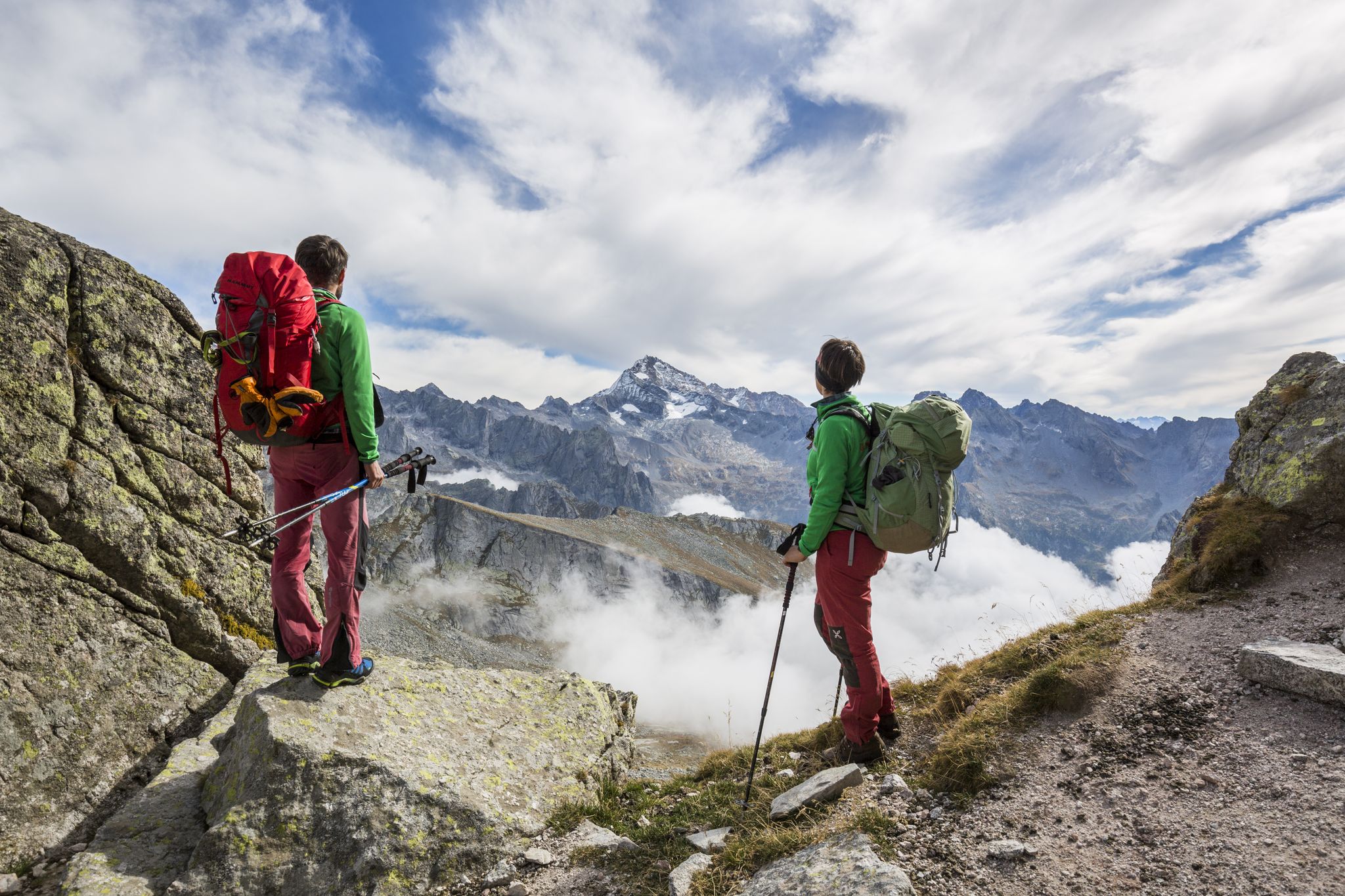
Alte Vie in Valtellina: pura natura alpina
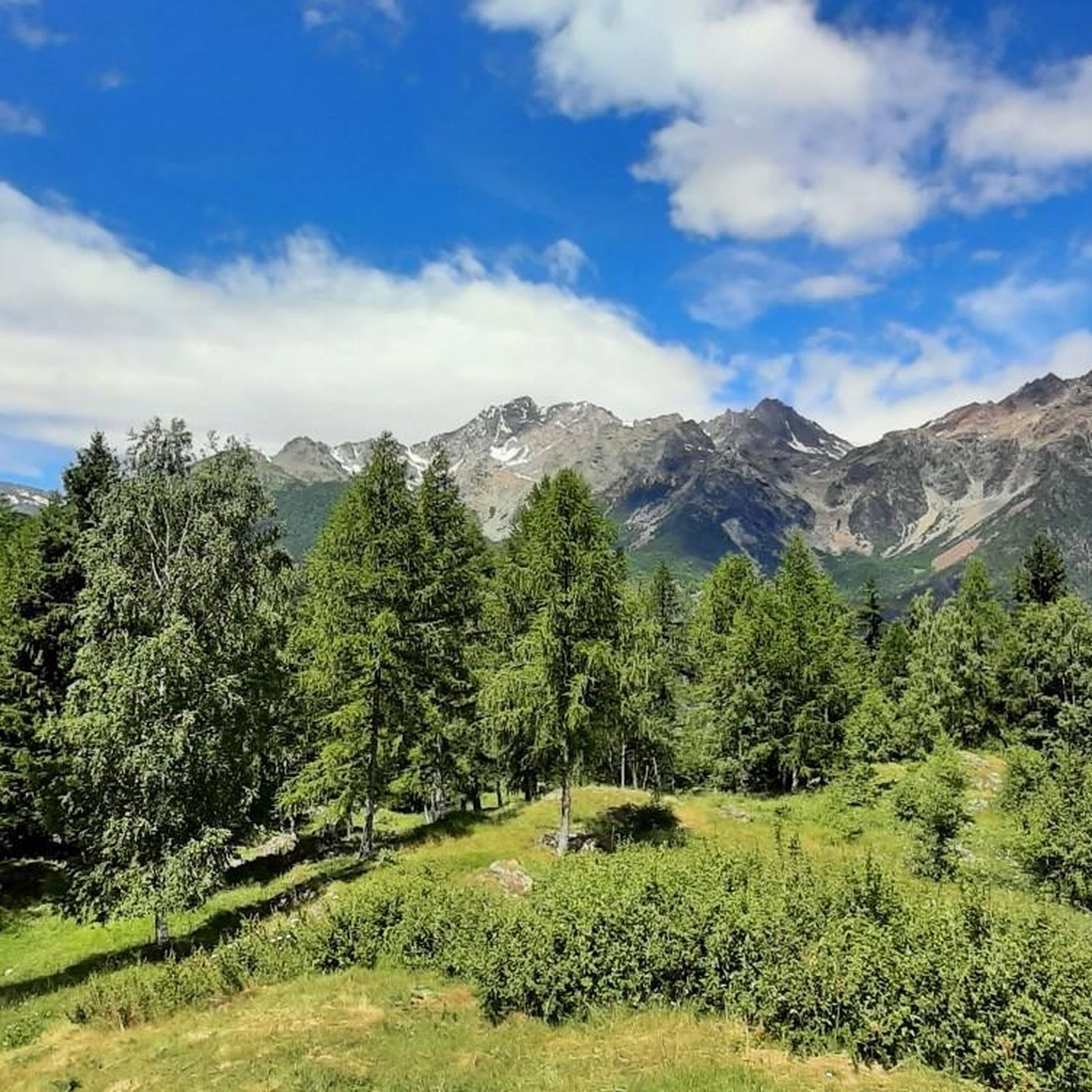
Road Cycling Routes around Torre Di Santa Maria
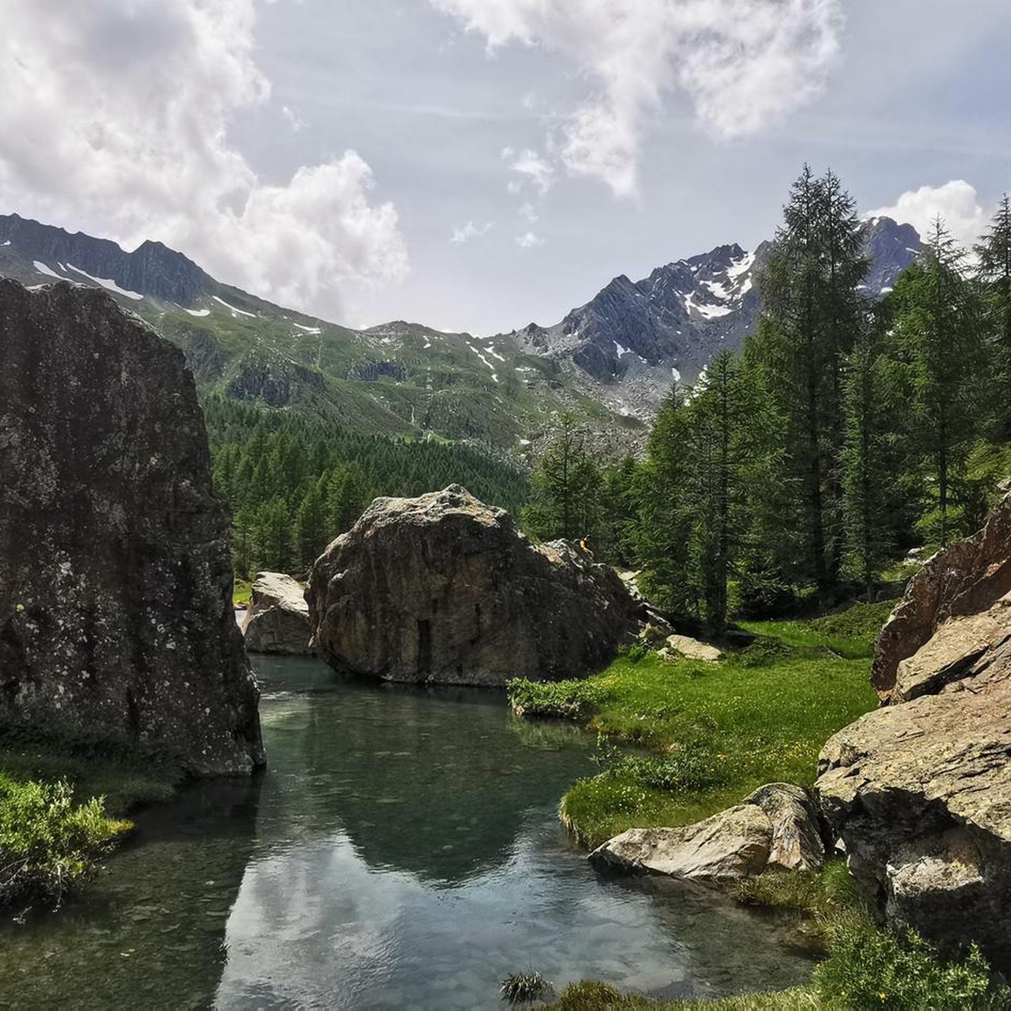
MTB Trails around Torre Di Santa Maria
Cycling around Torre Di Santa Maria
Hiking around Torre Di Santa Maria
Running Trails around Torre Di Santa Maria

Gravel biking around Torre Di Santa Maria
Other adventures around Torre Di Santa Maria


Tips from the Community

Small, very quiet alpine village near Chiesa in Valmalenco
0
0

Summit reachable from Val Ventina or by taking the Ferrata Torrione Porro or from the normal path encountered on the route that leads from Val Ventina to Lago Pirola. The path, which should also be used for descent after the ferrata, has some steep sections with scree. At the top there is a votive altar and you can admire the 360° panorama that repays the climb.
0
0
Travel time approx. 50 minutes. Well-equipped route and ideal for approaching the discipline. Throughout the progression, you will have an abundance of stirrups and holds. The section from the signs on trail 321A to the start is not well marked, so pay attention and, if necessary, follow the stone cairns.
0
0

Located at 2,450 m above sea level, on a spectacular natural balcony overlooking the upper Valmalenco, with a direct view of Monte Disgrazia, the Italian-Swiss ridge, and many high peaks of the Rhaetian Alps. Reaching the refuge is a hike of medium difficulty: from the village of Chiareggio, it takes about 2.5 hours to climb (850 m of elevation gain), while from San Giuseppe it is slightly longer but with gentler gradients. The trail is well marked and offers increasingly expansive views as you ascend. Excellent cuisine featuring typical Valtellina dishes.
0
0
Lake Pirola is a picturesque artificial lake accessible from the Gerli-Porro Refuge along a trail that crosses scree slopes and stretches where the trail merges with the rocks (markings are present but not always visible; be careful). The lake is surrounded by Alpine scenery and can be skirted along a scenic trail.
0
0

Iconic mountain of Valtellina, majestic and beautiful!
3
0
Beautiful route of about 600 meters of positive difference in altitude between the 1950 meters of the Piana di Preda Rossa up to the 2560 meters of the Rifugio Cesare Ponti. The high mountain environment is enriched by the beauty of the Preda Rossa valley, by its milky and slow torrent, by the frame of the Corni Bruciati, up to the majestic mass of the Disgrazia, which dominates and watches over the path. An enchanting place!
3
0
Legendary refuge at the foot of Mount Disgrazia. It is located along the Roma trail and is a passage point of the Kima Trophy. In short, an exceptional place for mountain lovers.
3
0
Frequently Asked Questions
What is the general difficulty level of mountaineering routes in Torre Di Santa Maria?
The mountaineering routes around Torre Di Santa Maria are predominantly challenging. Out of the 11 routes listed, 9 are rated as difficult, with 2 moderate options. This region is known for its high alpine terrain and prominent peaks, making it suitable for experienced mountaineers.
Are there any beginner-friendly or family-suitable mountaineering routes in Torre Di Santa Maria?
While most routes in Torre Di Santa Maria are rated as difficult, there are a couple of moderate options that might be more accessible for those with some experience, though not typically considered beginner or family-friendly mountaineering. For example, the Cesare Ponti Hut loop from Preda Rossa is a shorter, moderate route that still offers a taste of the alpine environment.
How long do mountaineering routes typically take in this region?
The duration of mountaineering routes in Torre Di Santa Maria varies significantly based on difficulty and distance. Shorter, moderate routes like the Cesare Ponti Hut loop from Preda Rossa can be completed in under 4 hours. However, more demanding routes, such as the Cesare Ponti Hut – Monte Disgrazia (3,678 m) loop from Parcheggio Preda Rossa, can take over 11 hours due to significant elevation gain and distance.
Are there many circular mountaineering routes available?
Yes, many of the mountaineering routes in Torre Di Santa Maria are designed as loops, allowing you to start and finish at the same point. Examples include the challenging View of Fellaria Glacier – Alpe Gembrè, 2217m loop from Campo Moro and the scenic Chiareggio – View of Lago Pirola loop from Bernina-Alpen - Alpi del Bernina.
What are some of the most challenging mountaineering experiences in Torre Di Santa Maria?
For experienced mountaineers seeking a significant challenge, the Cesare Ponti Hut – Monte Disgrazia (3,678 m) loop from Parcheggio Preda Rossa is a prime choice. This difficult 16.3 km route involves substantial elevation gain and takes nearly 12 hours to complete, offering an ascent towards the impressive Monte Disgrazia.
What natural features or landmarks can I expect to see along the routes?
Mountaineering routes in Torre Di Santa Maria offer continuous fantastic panoramas of majestic peaks like Mount Disgrazia, Pizzo Bernina, and Pizzo Scalino. You can also encounter features like the Val di Mello River, impressive waterfalls, and high alpine passes such as Caldenno Pass (2,587 m). The View of Fellaria Glacier – Alpe Gembrè, 2217m loop from Campo Moro provides impressive views of the glacier itself.
Are there any mountain huts or refuges along the trails?
Yes, the region is well-equipped with mountain huts that serve as essential resting points and overnight stays for longer treks and mountaineering expeditions. The Cesare Ponti Hut – Monte Disgrazia (3,678 m) loop, for instance, includes the Cesare Ponti Hut, and the Ex Rifugio Desio is another notable refuge in the area.
What do other mountaineers enjoy most about the routes in Torre Di Santa Maria?
The mountaineering routes in Torre Di Santa Maria are highly rated by the komoot community, with an average score of 4.8 stars. Reviewers often praise the dramatic Alpine setting, the rugged beauty of the high alpine terrain, and the breathtaking views of prominent peaks and glaciers.
What is the best time of year for mountaineering in Torre Di Santa Maria?
The best time for mountaineering in Torre Di Santa Maria is typically during the warmer months, from late spring to early autumn, when trails are clear of snow and weather conditions are more stable. This allows for safe access to the high alpine terrain and passes. Winter mountaineering is possible but requires specialized equipment and expertise due to snow, ice, and avalanche risks.
Are there any historical or cultural points of interest near the mountaineering routes?
Beyond its natural beauty, Torre Di Santa Maria offers a glimpse into its past with ancient stone hamlets and historical remains in Volardi. You can also find remains of medieval towers and castles, strategically positioned for observation, which blend natural beauty with cultural heritage. While not directly on a route, the Big Bench No. 182, Sondrio offers a unique viewpoint over the Valtellina Valley, connecting to the region's broader landscape.
Where can I find parking for mountaineering routes in the area?
Many routes, such as the Cesare Ponti Hut – Monte Disgrazia (3,678 m) loop, start from designated parking areas like Parcheggio Preda Rossa. Other routes may begin from villages or specific trailheads where parking is available, such as Campo Moro for the View of Fellaria Glacier – Alpe Gembrè, 2217m loop.
Most popular routes around Torre Di Santa Maria
Most popular attractions around Torre Di Santa Maria

Get inspired with the komoot mobile app


Explore more
Browse the best Mountain Hikes & Routes in other regions.
