The best walks and hikes around Thürnen
4.6
(2365)
11,818
hikers
758
hikes
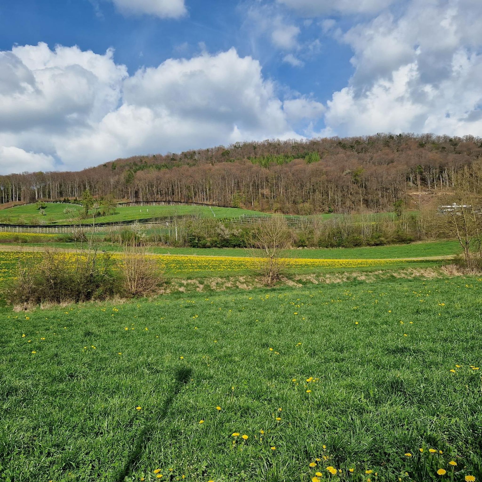
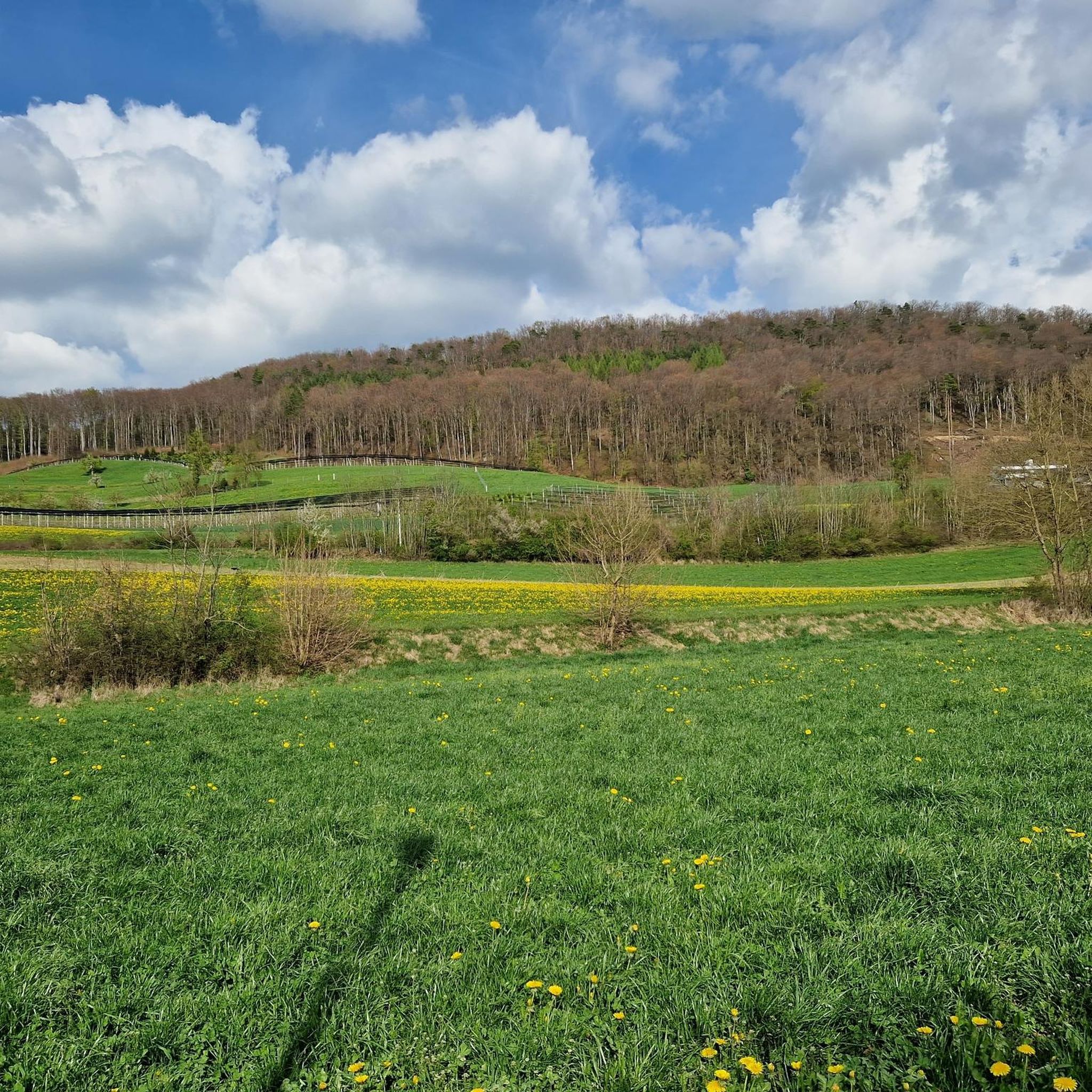
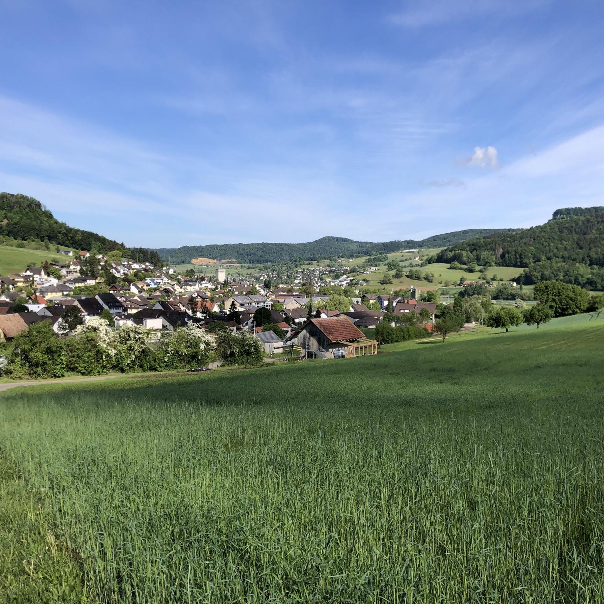
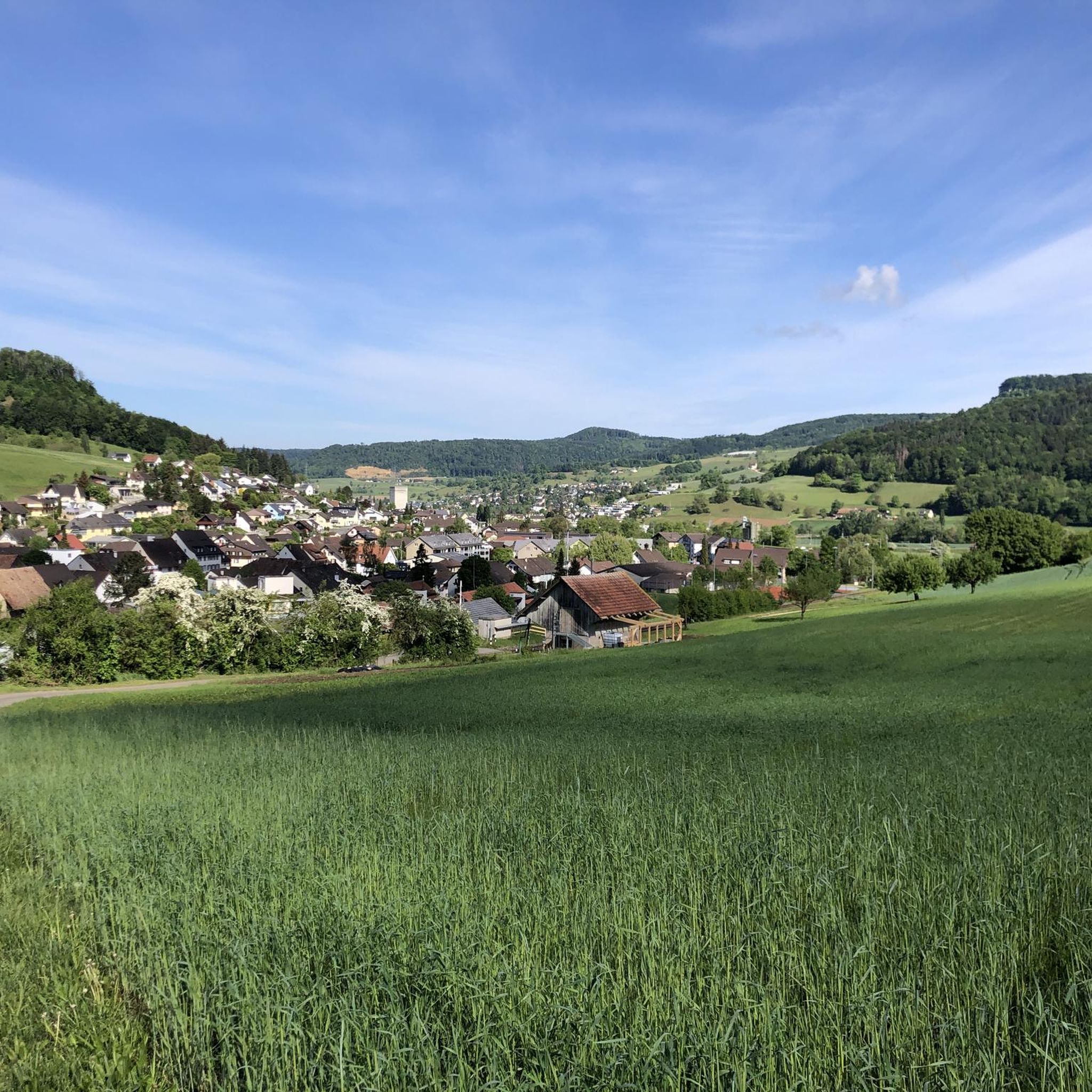
Hiking around Thürnen offers diverse landscapes within the Baselbieter Tafeljura and Faltenjura regions. The area features rolling hills, prominent natural landmarks like the Thürnerflue, and the scenic Ergolztal valley. This geological diversity provides varied terrain for hikers, including forests, pastures, and elevated viewpoints.
Best hiking trails around Thürnen
- The most popular hiking route is Bischofstein Castle Ruins – View from Böckterflue loop from Sissach, a 6.9 miles (11.1 km) trail that takes 3 hours 30 minutes to complete, offering…
Last updated: October 14, 2026
4.3
(9)
41
hikers
11.1km
03:30
430m
430m
Moderate hike. Good fitness required. Mostly accessible paths. Sure-footedness required.
4.4
(5)
24
hikers
16.6km
05:20
620m
620m
Hard hike. Very good fitness required. Mostly accessible paths. Sure-footedness required.

4.3
(6)
40
hikers
10.9km
03:02
210m
210m
Moderate hike. Good fitness required. Easily-accessible paths. Suitable for all skill levels.
19
hikers
Moderate hike. Good fitness required. Easily-accessible paths. Suitable for all skill levels.
4.5
(4)
23
hikers
7.70km
02:02
70m
70m
Moderate hike. Good fitness required. Easily-accessible paths. Suitable for all skill levels.
Get access to more routes and recommendations from other explorers.
Already have an account?
Our route recommendations are based on thousands of hikes, rides, and runs completed by other people on komoot.
Start today with a free account
Your next adventure awaits.
Tips from the Community

Above the Rünenberger Giessen lies this cozy spot with a small water basin (a Gumpen), where you can cool your feet wonderfully in the summer. Even in earlier times, people from the surrounding area came here to bathe. Above the Gumpen there is also a barbecue area, below you can descend to the Giessen.
1
0

The Tännligarten is a great destination for families. There are many wooden structures, varied climbing opportunities, a small zipline and barbecue facilities - ideal for a nice day with children.
2
0
At Sissach train station there are good places to get food, for example an Avec, a kebab shop and a sandwich shop. For hikes towards the Erlebnisweg or Voregg, you can easily take the bus towards Wintersingen.
1
0
Described above is the upper waterfall, the "Rünenberger Gießen", where the water falls over a curved rock face 18 m into the depths, forming a stately tufa pyramid below, with the jet atomizing roaring and foaming depending on the water level. In winter, fascinating icicle formations are created at sub-zero temperatures. Above the waterfall is the "Löligumpi", where you could swim in the past. A little further down follows the Kleine Giessen - also with a beautiful tuff cone.
0
0

Barbecue area with a great view.
1
0

Admission is free and the plants are labeled with names
3
0

In the public show garden, ornamental plants, vegetables and herbs are grown on around 30 acres.
4
0
Ruins of a hilltop castle complex used for several millennia. The complex was excavated in 1936 as part of the cantonal labor camp (employment program for the unemployed).
6
0
Frequently Asked Questions
What types of landscapes can I expect to see while hiking around Thürnen?
Hiking around Thürnen offers a diverse landscape, characterized by the gentle, rolling hills of the Baselbieter Tafeljura and the more dramatic formations of the Faltenjura. You'll encounter serene forests, expansive pastures, and the scenic Ergolztal valley. Prominent natural landmarks like the Thürnerflue provide superb panoramic views, and on clear days, higher elevations can even offer distant glimpses of the Alps, Black Forest, and Vosges mountains.
Are there any easy hiking trails suitable for beginners or casual walkers in Thürnen?
Yes, Thürnen offers a good selection of easy trails. Out of nearly 800 routes in the area, over 380 are classified as easy. These paths are perfect for beginners or those looking for a relaxed stroll through the picturesque scenery. An example of a moderate route that is not overly strenuous is the Idyllic Stream – Exotic Aviary Sissach loop from Diepflingen, which is about 8.6 km long.
What are some notable viewpoints or landmarks to discover on hikes near Thürnen?
The region around Thürnen is rich in viewpoints and historical landmarks. The Thürnerflue itself is a prominent natural landmark offering superb panoramic views. You can also find attractions like the Geissflue viewpoint, the Wisenberg Observation Tower, and the Sonnenberg Tower. For those interested in historical sites, routes often pass by castle ruins, such as those near the Bischofstein Castle Ruins – View from Böckterflue loop from Sissach.
Are there any circular hiking routes available around Thürnen?
Yes, many of the hiking trails around Thürnen are designed as circular routes, allowing you to start and end at the same point. For instance, the Lower Giessenfall – Sommerau Railway Station loop from Diepflingen is a moderate 11.1 km circular trail that takes you through river valleys and past waterfalls. Another option is the Schloss Ebenrain – Dirt Path and River Trail loop from Sissach, a moderate 7.7 km loop.
Can I find hikes with waterfalls near Thürnen?
Yes, the region features natural water formations. The Lower Giessenfall – Sommerau Railway Station loop from Diepflingen is a popular moderate trail that leads past waterfalls. Additionally, the Wasserflue Waterfall and Bärenloch (Bear’s Hole) Cave is a notable natural feature in the wider area.
What do other hikers say about the trails in Thürnen?
The hiking trails around Thürnen are highly regarded by the komoot community, holding an average rating of 4.6 stars from over 2000 reviews. Hikers frequently praise the diverse terrain, from rolling hills to scenic valleys, and the well-maintained paths that cater to various fitness levels. Many appreciate the panoramic views from elevated points like the Thürnerflue.
Are there any challenging or difficult hikes for experienced hikers in Thürnen?
For experienced hikers seeking a challenge, Thürnen offers several difficult routes. There are 26 trails classified as difficult in the area. An example is the View from Böckterflue – Farnsburg Castle Ruins loop from Sissach, a demanding 16.6 km path featuring challenging terrain and historical sites.
Are there any caves to explore while hiking around Thürnen?
Yes, the Jura region, which includes Thürnen, is known for its geological diversity, including mysterious deep caves. Nearby, you can explore highlights such as the Bruderloch Cave, the Roniger Rock Cellar in Magden, and the Gleichauf Cave.
What is the best time of year to go hiking in Thürnen?
The Baselbieter Tafeljura and Faltenjura regions around Thürnen are enjoyable for hiking through much of the year. Spring and autumn offer pleasant temperatures and vibrant scenery, with blooming flowers or colorful foliage. Summer is also popular, though some higher elevation trails might be warmer. Winter hikes are possible, but conditions can vary, so checking local weather and trail reports is advisable.
How many hiking routes are available in the Thürnen area?
There are over 780 hiking routes available around Thürnen, catering to a wide range of preferences and fitness levels. This includes nearly 390 easy routes, over 360 moderate trails, and 26 more difficult options for experienced hikers.
Are there any historical sites or castle ruins accessible on hikes near Thürnen?
Yes, the region has a rich history reflected in its landscapes. You can find historical sites and castle ruins along various trails. For example, the Bischofstein Castle Ruins – View from Böckterflue loop from Sissach and the View from Böckterflue – Farnsburg Castle Ruins loop from Sissach both incorporate historical ruins into their routes, offering a blend of nature and heritage.
Most popular attractions around Thürnen

Get inspired with the komoot mobile app


Explore more
Browse the best Hikes in other regions.
