The best road cycling routes around Thür
4.4
(417)
6,975
riders
18
rides
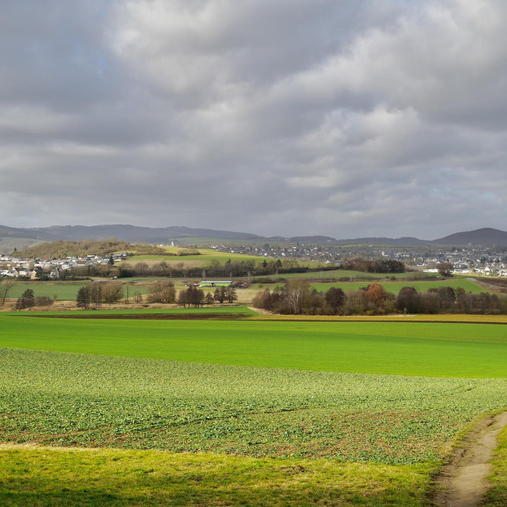
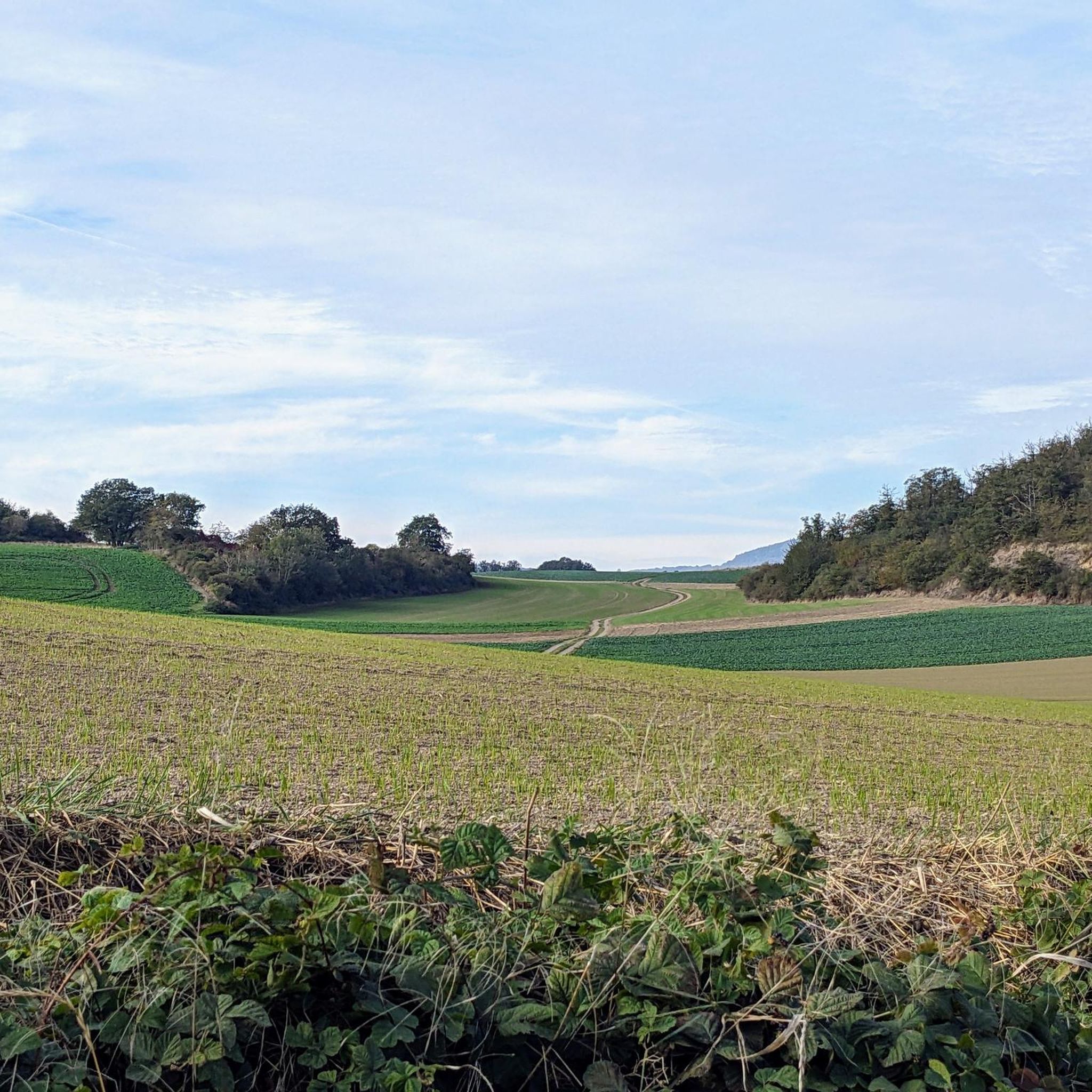
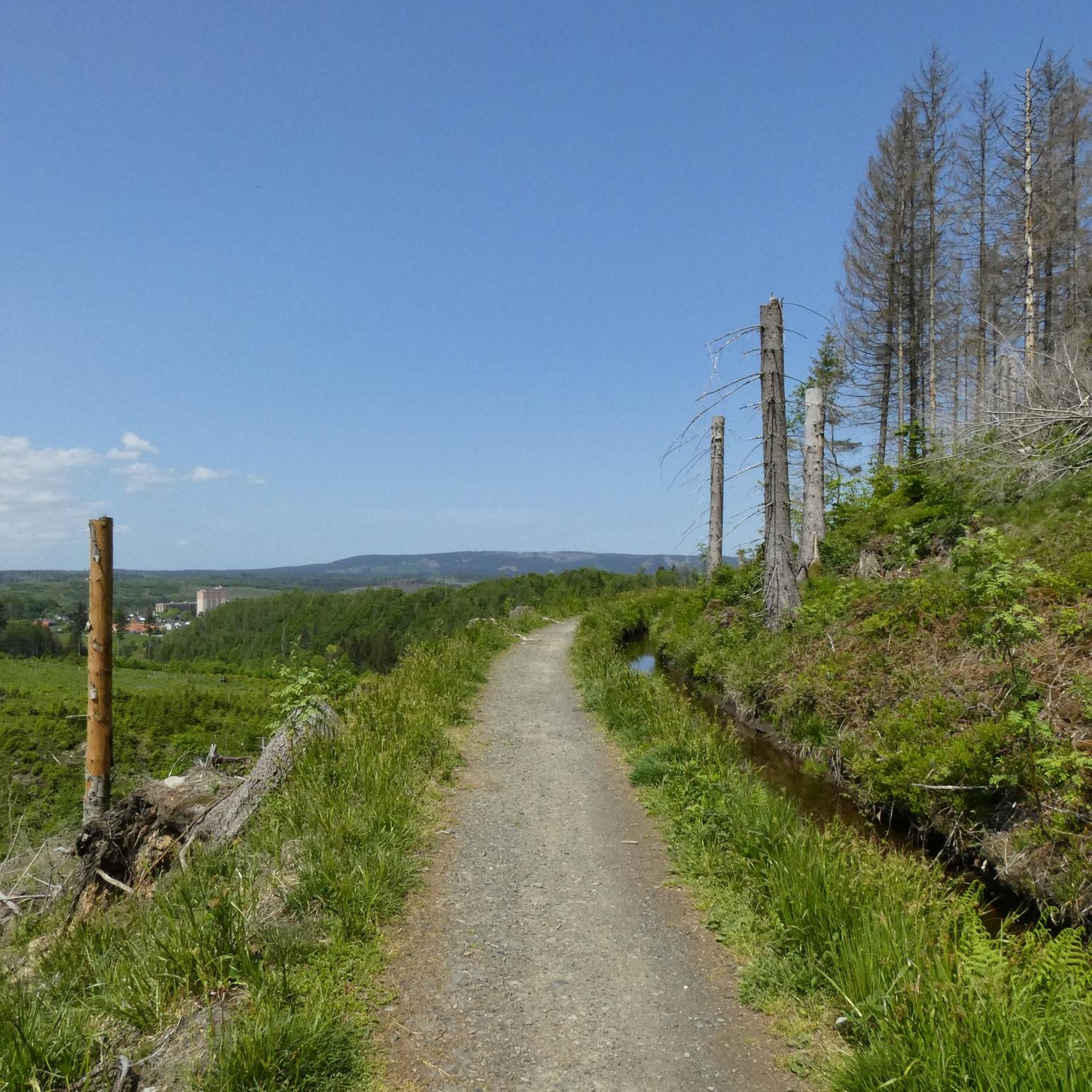
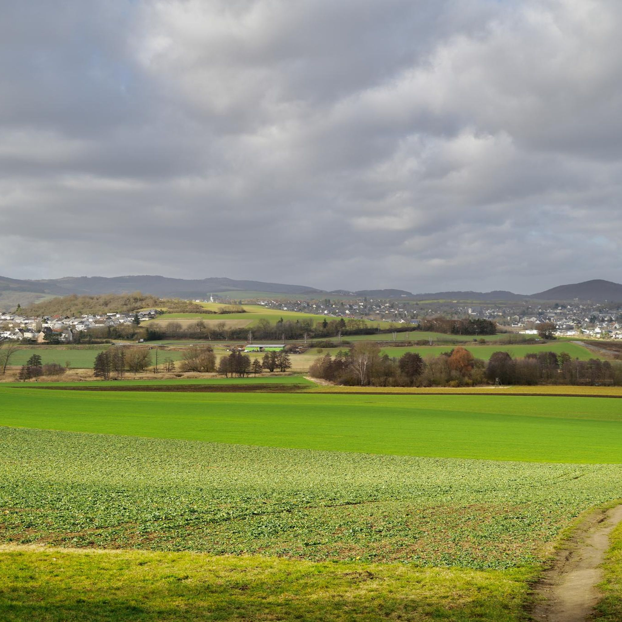
Road cycling around Thür offers diverse landscapes, characterized by rolling hills and idyllic valleys within Germany's Mayen-Koblenz district. The region provides varied terrain, including both climbs and descents, suitable for different skill levels. Its location on the edge of the Rhineland, bordering the Rhine-Westerwald Nature Park, allows for views of the Rhine valley and surrounding deciduous forests. Well-maintained cycle paths traverse the area, connecting historic towns and medieval villages.
Best road cycling routes around Thür
- The most popular road cycling…
Last updated: August 20, 2026
4.5
(6)
111
riders
55.9km
02:40
680m
680m
Moderate road ride. Good fitness required. Some segments of this route may be unpaved and difficult to ride.
5.0
(4)
61
riders
41.2km
02:10
340m
340m
Moderate road ride. Good fitness required. Some segments of this route may be unpaved and difficult to ride.

Sign up for free
5.0
(1)
77
riders
121km
06:02
1,430m
1,430m
Hard road ride. Very good fitness required. Mostly well-paved surfaces and easy to ride.
3.0
(1)
53
riders
31.2km
01:32
400m
400m
Moderate road ride. Good fitness required. Some segments of this route may be unpaved and difficult to ride.
5.0
(1)
70
riders
Hard road ride. Very good fitness required. Mostly well-paved surfaces and easy to ride.
Get access to more routes and recommendations from other explorers.
Sign up for free
Already have an account?
Our route recommendations are based on thousands of hikes, rides, and runs completed by other people on komoot.
Start today with a free account
Your next adventure awaits.
Login or Signup
Tips from the Community

and again a great view of one of the many castles in the Moselle valley
0
0

Not always nice, the Mosel cycle path. Here along the federal highway.
0
0

Great castle ruin above the Moselle.
0
0

The northern gate of the city fortifications, which still exists today, is the gatehouse located on the Nette river, built between 1299 and 1354. It secured the crossing of the Nette and primarily served as the city entrance from the direction of Koblenz, which is why it also bears the name "Koblenzer Tor" (Koblenz Gate). Since there are no signs of a slot in the wall for a portcullis, it is assumed that a drawbridge to the bridge pier on the Nette was used to secure the gate. Due to the flood in 1598, the gatehouse collapsed along with the outer gate. However, the chiseled number 1599 testifies that the gatehouse was rebuilt just one year later. From the beginning of the 19th century until 1855, the gatehouse was used as a prison. The city coat of arms, added in 1911, is still visible today. Source: Jonas Breithaupt, University of Koblenz-Landau, 2015
4
0

Nice place to take a break
0
0

The oldest part of Bürresheim Castle is the imposing keep, a 12th-century tower that clearly reflects the castle's defensive origins. Over time, the castle developed into a complex double complex, consisting of the so-called Cologne Castle and the Trier Castle, which underwent different construction and expansion phases. While the Cologne Castle formed the older part and primarily served economic purposes—leading to its eventual decline—the Trier Castle was transformed into a prestigious residential palace, which continues to shape the character of the entire complex to this day.
4
0

A beautiful view just before the village of Beilstein.
1
0

The signal box for Mayen-Ost station is located here.
4
0
Frequently Asked Questions
How many road cycling routes are available around Thür?
There are over 20 road cycling routes around Thür listed on komoot, catering to various skill levels. You'll find options ranging from easy to difficult, with 2 easy routes, 13 moderate routes, and 5 difficult routes to explore.
What kind of terrain can I expect on road cycling routes in Thür?
Road cycling in Thür features diverse terrain, characterized by rolling hills and idyllic valleys. You'll encounter both challenging climbs and enjoyable descents, with some routes offering scenic sections along the Rhine valley. The region's location on the edge of the Rhineland, bordering the Rhine-Westerwald Nature Park, ensures varied and picturesque landscapes.
What is the best time of year for road cycling in Thür?
The region is particularly beautiful in autumn when the deciduous forests transform with fascinating colors, offering a stunning backdrop for your rides. Generally, spring through early autumn provides the most pleasant weather conditions for road cycling in Thür.
Are there routes suitable for beginners or advanced road cyclists?
Yes, Thür offers routes for all abilities. Beginners can find easier paths, while advanced cyclists can challenge themselves on more difficult routes with significant elevation gains. For instance, the Moselle Riverside Cycle Path – View of Beilstein Castle loop from Thür is a difficult route covering over 120 km with substantial climbing.
What scenic viewpoints or landmarks can I discover along the road cycling routes?
Many routes offer stunning views and pass by notable landmarks. You can enjoy panoramic views from spots like View of Krufter Waldsee from Teufelskanzel or the Gänsehalsturm Observation Tower. Routes also pass by historic sites such as Namedy Castle, featured on the Namedy Castle – Brohltalbahn Viaduct loop from Thür, and the Old Crane (Alter Kranen) in Andernach.
Are there any historical sites or castles to see while cycling?
Absolutely. The region is dotted with historic towns and medieval villages. The Volkesfeld Healing Spring – Bürresheim Castle loop from Thür takes you past the impressive Bürresheim Castle. Another route, the Old Crane (Alter Kranen) – Andernach Old Town Sights loop from Thür, guides you through the historic old town of Andernach.
Is parking available for road cyclists in Thür?
Yes, Thür and its surrounding areas offer various parking options, especially near popular starting points for cycling routes. Many of the historic towns and villages along the routes also provide parking facilities, making it convenient to access the trails.
How can I reach the road cycling routes in Thür using public transport?
The Mayen-Koblenz district, where Thür is located, has public transport connections that can facilitate reaching cycling routes. While specific bike carriage policies vary, regional trains and buses often serve towns along the Rhine and Mosel, which are popular cycling areas. It's advisable to check local transport schedules and bike policies in advance.
Are there cafes or places to stop for refreshments along the routes?
Yes, as you cycle through Thür and its surrounding historic towns and villages, you'll find numerous opportunities to stop for refreshments. Many routes pass directly through or near places with cafes, restaurants, and pubs, especially in the more populated areas along the Rhine and Mosel valleys.
Can I find family-friendly road cycling routes in Thür?
While many routes in Thür involve rolling hills, there are sections and paths that are more suitable for families, particularly those along the flatter stretches of the Rhine valley. These well-maintained cycle paths offer a more relaxed experience away from heavy traffic.
Are there road cycling routes that offer views of the Rhine?
Absolutely. Thür's location on the edge of the Rhineland means many routes offer breathtaking views of the Rhine valley. The Old Crane (Alter Kranen) – Andernach Old Town Sights loop from Thür, for example, leads directly through the Rhine valley, providing picturesque scenery.
What do other road cyclists enjoy the most about road cycling in Thür?
The road cycling routes in Thür are highly rated by the komoot community, with an average score of 4.4 stars from over 20 reviews. Cyclists often praise the diverse landscapes, including rolling hills and scenic valleys, and the well-maintained paths that connect historic towns and offer views of the Rhine.
Are there any routes that explore the volcanic landscape around Thür?
Yes, the region is part of the Volcanic Eifel, and some routes will take you through this unique landscape. For example, the Maria Laach Abbey – Laacher See loop from Thür offers a moderate ride around the stunning Laacher See, a volcanic caldera lake, and passes by the historic Maria Laach Abbey.
Most popular attractions around Thür

Get inspired with the komoot mobile app


Explore more
Browse the best Road cycling routes in other regions.
