The best running trails around Albavilla
4.3
(13)
710
runners
15
runs
Jogging routes around Albavilla offer diverse landscapes within the Province of Como, Lombardy. The region features a varied terrain with proximity to lakes like Alserio and Pusiano, and hills such as Monte Bolettone and Monte Palanzone. Extensive woodlands, including chestnut and beech forests, and pristine valleys with gorges, characterize the natural environment. This combination provides a range of running experiences, from lakeside paths to more challenging hill ascents.
Best jogging routes around Albavilla
- The most popular jogging route is Monte…
Last updated: October 10, 2026
5.0
(2)
60
runners
10.5km
01:28
470m
470m
Hard run. Very good fitness required. Sure-footedness, sturdy shoes and alpine experience required.
4.3
(8)
454
runners
19.3km
02:59
900m
900m
Hard run. Very good fitness required. Sure-footedness, sturdy shoes and alpine experience required.

65
runners
12.3km
01:30
490m
490m
Hard run. Very good fitness required. Mostly paved surfaces. Suitable for all skill levels.
19
runners
10.5km
01:26
460m
460m
Hard run. Very good fitness required. Sure-footedness, sturdy shoes and alpine experience required.
17
runners
7.49km
01:17
420m
420m
Hard run. Very good fitness required. Sure-footedness, sturdy shoes and alpine experience required.
Get access to more routes and recommendations from other explorers.
Already have an account?
Our route recommendations are based on thousands of hikes, rides, and runs completed by other people on komoot.
Start today with a free account
Your next adventure awaits.
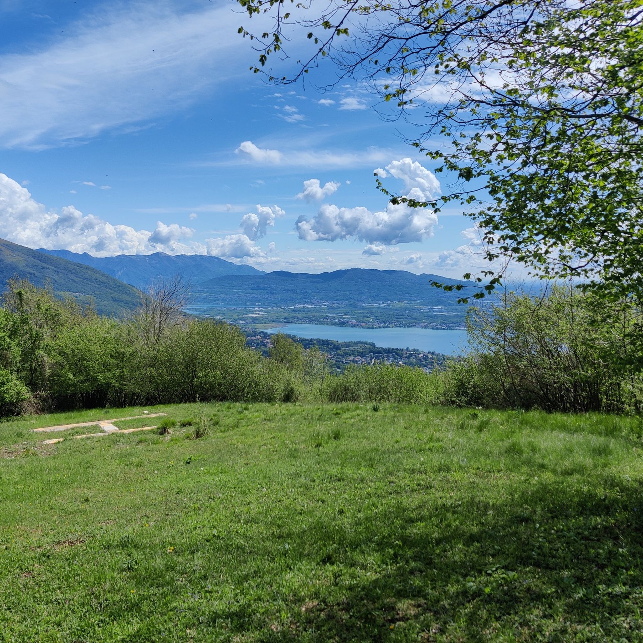
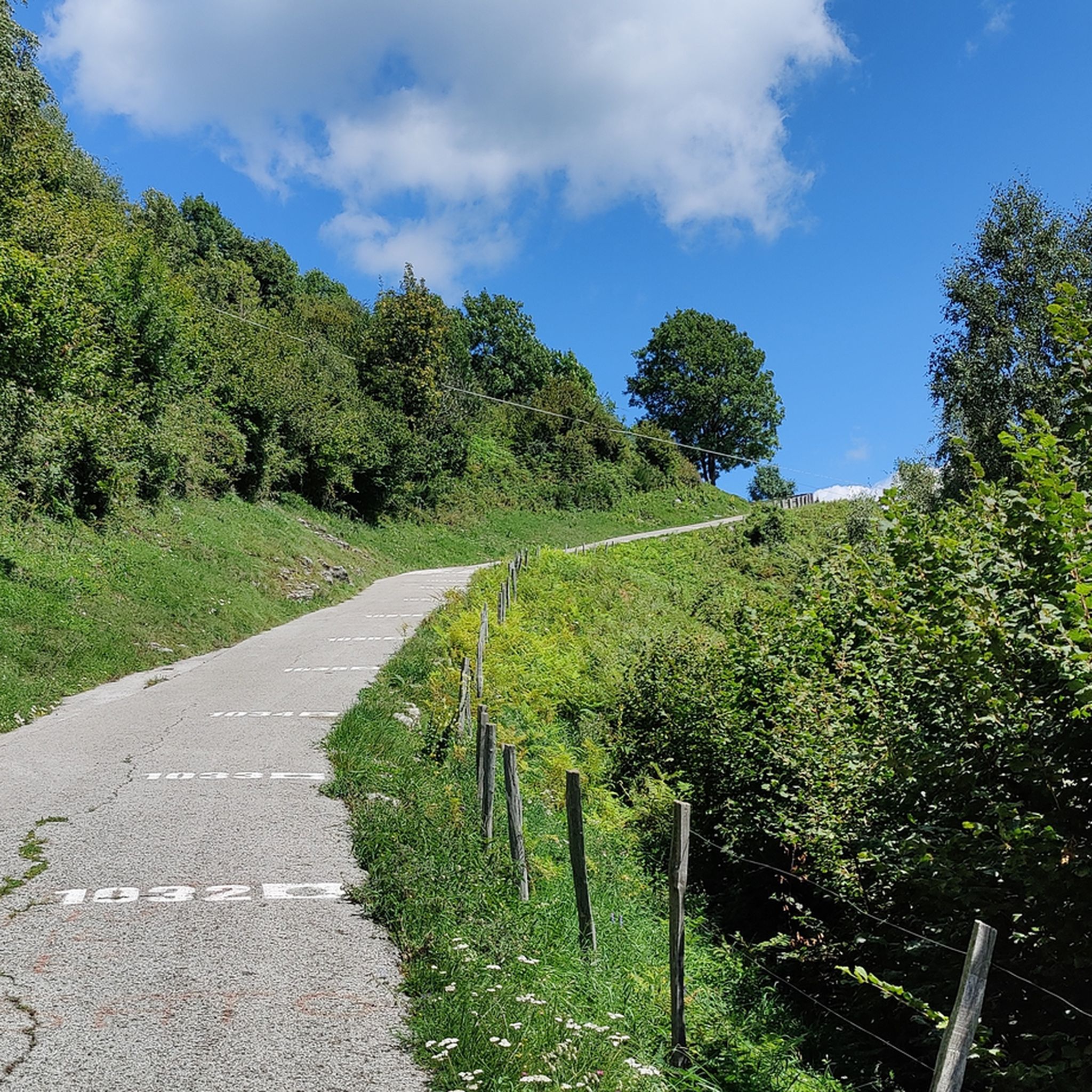
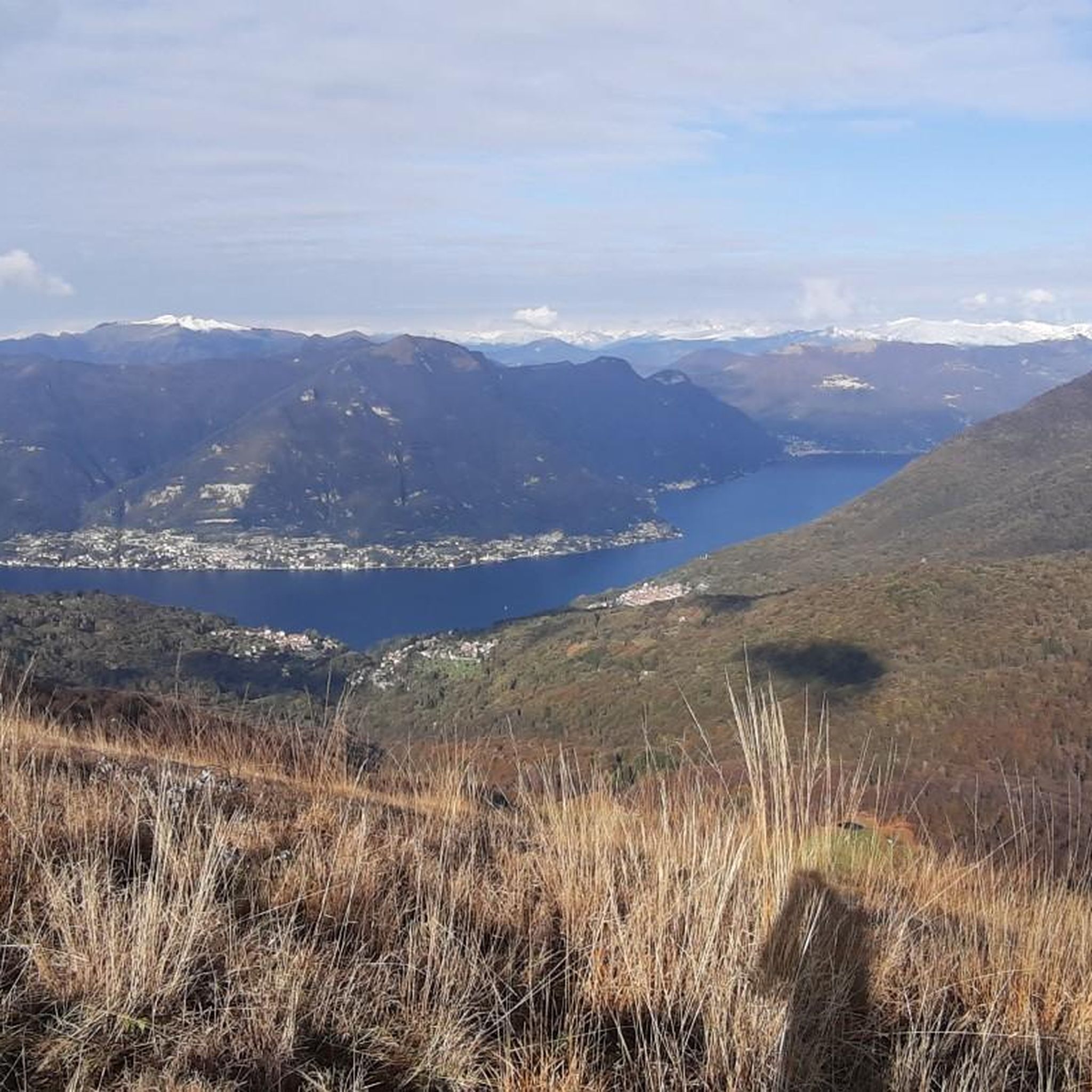
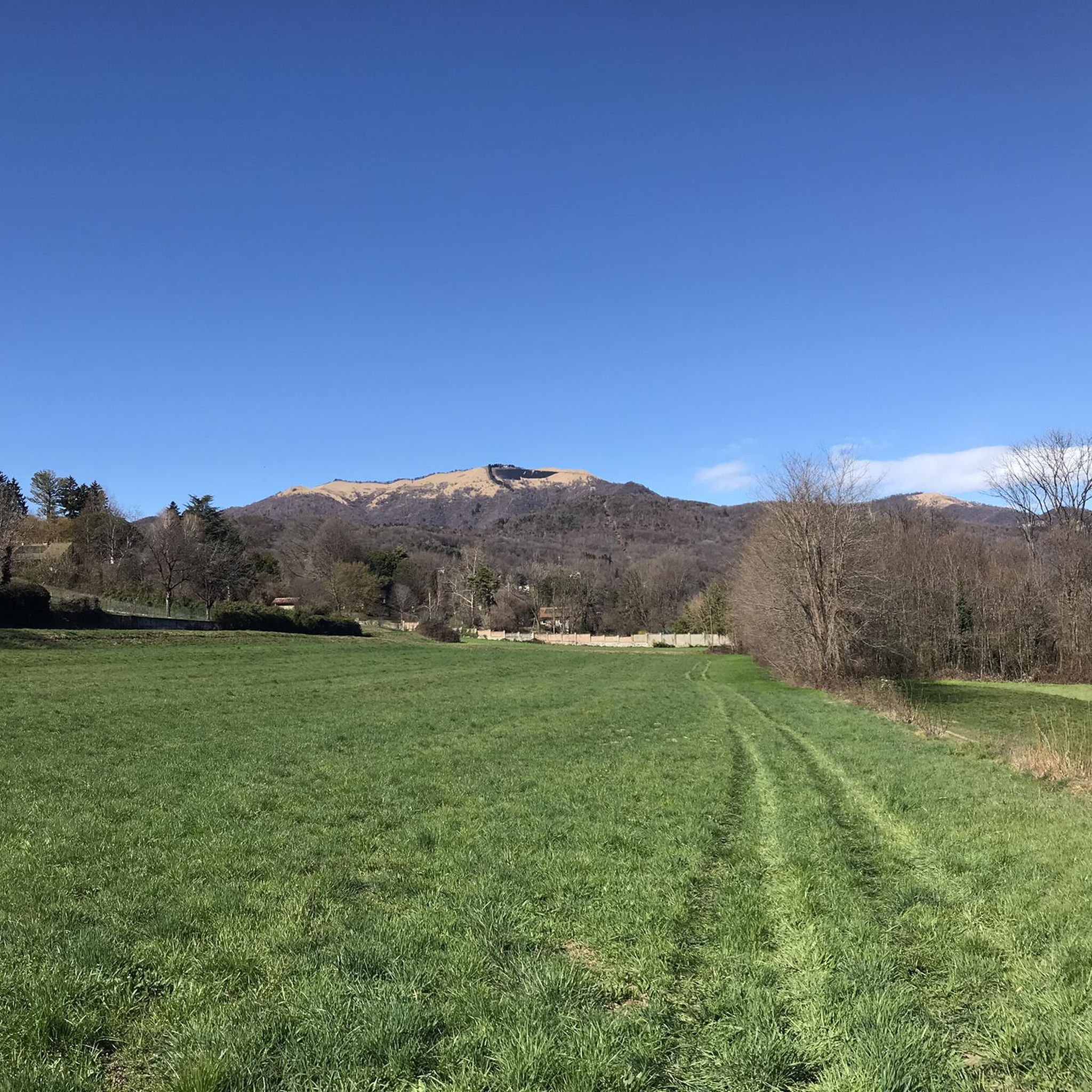

Tips from the Community

Downhill it's quite simple, uphill there are several steep sections, steps, or with a large gradient. I like it as an alternative to the asphalt road to get up to the alpine pasture, I always have to put in a lot of effort and experience to go up without assistance.
0
0

The climb to Alpe del Viceré from Albavilla is a classic ascent of the Larian Triangle. It measures about 5.4 km with an elevation gain of 465 meters and an average gradient of 8.5%. It features challenging sections with gradients up to 12%, followed by more rideable sections before the finish. Route details Start: Albavilla Centre (approx. 430 m a.s.l.). Finish: Alpe del Viceré Park (903 m a.s.l.). Average gradient: 8.5%. Maximum gradient: Approx. 12% (located around the 3rd kilometer).
0
0

The scenic trail between Capanna Mara and the summit of Monte Bollettone (also known as Sentiero delle Colme) is one of the most spectacular and frequented sections of the Larian Triangle. Walking along this grassy ridge, you can enjoy an exceptional view that simultaneously spans the lakes of Brianza to the south and Lake Como with the Grigne and Resegone to the north.
0
0

Very beautiful trail. Little exposed except for one or two spots, passage of several requires walking, unless you are a trial rider…
0
0

Stupendous path immersed in a very clean beech forest
1
0

An excursion that is always worth doing
0
0

Relief between Palanzone and Bolettone, beautiful panorama
0
0
Frequently Asked Questions
How many running routes are available around Albavilla?
Albavilla offers a diverse network of over 20 running routes. These include 1 easy, 6 moderate, and 14 difficult trails, catering to various fitness levels and preferences.
Are there running routes for all skill levels in Albavilla?
Yes, Albavilla provides a wide range of running routes suitable for different skill levels. You can find easy paths with minimal elevation gain, moderate trails, and more challenging ascents requiring good fitness, particularly in the mountainous areas like Monte Bolettone and Monte Palanzone.
What kind of scenery can I expect on the running trails in Albavilla?
The running trails in Albavilla offer incredibly varied scenery. You'll find picturesque routes near lakes like Lake Alserio and Lake Pusiano, paths through dense woodlands of chestnut, beech, and oak, and trails leading to panoramic viewpoints in the Triangolo Lariano hills. Some routes even feature unique natural formations like the 'Marmitte dei Giganti' along the Cosia River.
Are there any circular running routes in Albavilla?
Yes, many of the running routes in Albavilla are circular, allowing you to start and finish at the same point. For example, the Monte Bolettone - Capanna Mara Loop is a popular circular option, as is the Mount Bolettone – Alpe del Viceré loop from Parco Alpe del Vicerè.
What are some notable natural landmarks or points of interest along the running routes?
Albavilla's routes are rich with natural beauty. You can explore the serene environments around Lake Alserio and Lake Pusiano, discover the unique 'Marmitte dei Giganti' along the Cosia River in Pine Park Alpe del Vicerè, or even venture towards the fascinating Nesso Gorge and Cam Waterfall, which are accessible from nearby areas.
Are there any family-friendly running or walking options in Albavilla?
While many routes are more challenging, the Alpe del Vicerè Park offers easier marked trails and amenities like tables and barbecue areas, making it a good starting point for families. For a more structured family activity, the Jungle Raider Park in Albavilla provides an alternative day out in nature.
What do other runners enjoy most about jogging in Albavilla?
The running routes in Albavilla are highly rated by the komoot community, with an average score of 4.3 stars. Runners often praise the diverse terrain, from scenic lakeside paths to challenging mountain ascents, and the beautiful natural landscapes including dense woodlands and panoramic views.
Are there any running routes that offer views of the lakes?
Absolutely. Albavilla is situated near picturesque lakes like Lake Alserio and Lake Pusiano. Many routes, especially those with panoramic viewpoints from areas like Villa Giamminola Park or Via Panoramica, offer stunning views of these serene waters, enhancing your running experience.
Can I find parking near the trailheads for running routes in Albavilla?
Yes, several popular starting points for trails, such as the Alpe del Vicerè Park, are accessible by car and typically offer parking facilities. This makes it convenient to reach many of the running routes in the area.
Are there any historical or cultural sites I can see while running in Albavilla?
Yes, you can combine your run with cultural exploration. The area features historical sites like the remains of Barbarossa's Castle in Carcano, where San Dionigi Church now stands, and Romanesque churches such as Santa Maria di Loreto. These offer interesting stops along your route.
What is the best time of year to go running in Albavilla?
Albavilla offers a pleasant environment for running throughout much of the year. Spring and autumn provide mild temperatures and vibrant natural colors. Summer is also suitable, especially for higher altitude trails, while winter running is possible, though some higher or more exposed paths might require more preparation.
Are there any longer, more challenging running routes for experienced runners?
Definitely. For experienced runners seeking a challenge, routes like the Beech Trail – Riella Hut loop from Albese con Cassano (9.7 miles) or the Monte Palanzone – Rifugio Capanna Mara loop from Parco Alpe del Vicerè (8.8 miles) offer significant elevation gains and varied terrain through the Triangolo Lariano hills.
Most popular attractions around Albavilla

Get inspired with the komoot mobile app


Explore more
Browse the best Running Trails & Routes in other regions.
