The best mountain hikes around Oneta
4.7
(20)
155
hikers
9
hikes
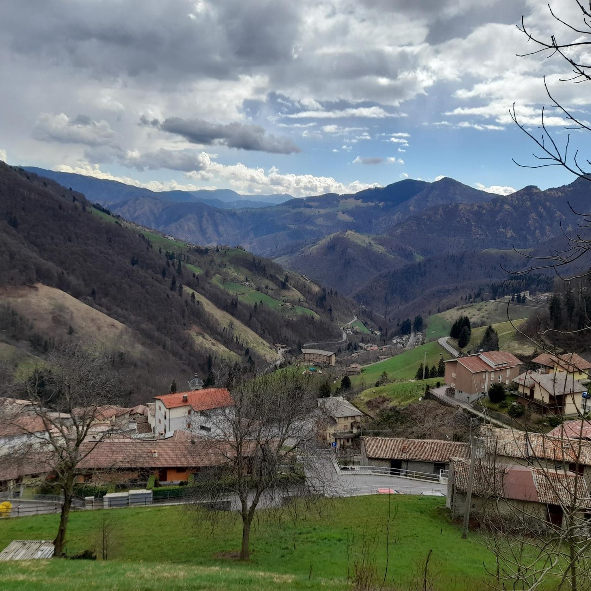
Mountaineering around Oneta, located in the Bergamo region of Italy, offers challenging routes through mountainous terrain. The area is characterized by significant elevation gains, leading to high-altitude refuges and summits. These mountaineering routes often traverse rocky paths and alpine meadows, providing extensive views of the surrounding valleys and peaks. The landscape is well-suited for experienced mountaineers seeking demanding ascents and descents.
Best mountaineering routes around Oneta
- The most popular mountaineering route is Capanna 2000 Mountain Hut loop from Zambla Bassa, a 5.3 miles (8.5 km) trail that takes 3 hours 52 minutes to complete. This moderate route features a substantial climb to a well-known mountain hut.
- Another top favourite among local mountaineers is Monte Alben Summit – Rifugio Monte Alben loop from Cornalba, a difficult 7.8 miles (12.5 km) path. This route offers a challenging ascent to the Monte Alben summit, passing a mountain refuge.
- Local mountaineers also love the Corna Nèel loop from Valcanale, a 8.8 miles (14.1 km) trail leading through varied alpine terrain, often completed in about 6 hours 14 minutes.
- Mountaineering around Oneta is defined by high mountain passes, challenging ascents to peaks, and panoramic views of the Italian Alps. The network offers options for experienced mountaineers seeking difficult and moderate routes.
- The routes in Oneta are highly rated by the komoot community with an average score of 4.8 stars from more than 20 reviews. More than 200 mountaineers have used komoot to explore Oneta's varied terrain.
Last updated: July 4, 2026
5.0
(1)
18
hikers
7.69km
03:29
660m
660m
Moderate mountaineering route. Good fitness required. Mostly accessible paths. Sure-footedness required.
4.5
(2)
28
hikers
5.42km
02:25
290m
290m
Hard mountaineering route. Good fitness required. Sure-footedness, sturdy shoes and alpine experience required.

Sign up for free
4.7
(3)
14
hikers
14.3km
06:18
1,000m
1,000m
Hard mountaineering route. Very good fitness required. Sure-footedness, sturdy shoes and alpine experience required.
6
hikers
Hard mountaineering route. Very good fitness required. Sure-footedness, sturdy shoes and alpine experience required.
5.0
(1)
5
hikers
15.5km
07:56
1,310m
1,310m
Hard mountaineering route. Very good fitness required. Sure-footedness, sturdy shoes and alpine experience required.
Get access to more routes and recommendations from other explorers.
Sign up for free
Already have an account?
Our route recommendations are based on thousands of hikes, rides, and runs completed by other people on komoot.
Start today with a free account
Your next adventure awaits.
Login or Signup

Tips from the Community

beautiful view and a nice place to pass through for many tours
1
0

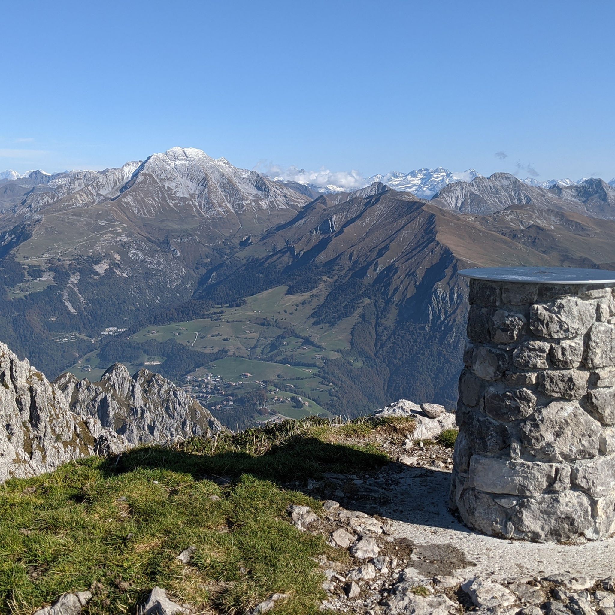
On the summit of Pizzo Arera there is a cast iron cross that stands out against the fantastic panorama of the Orobie.
0
0

departure point for excursions, the most popular being the flower trail. Be careful to display the ticket that can be purchased at the start of the climb.
0
0
halfway along the circular route from Plassa on the Arera flower trail
1
1
arrival point halfway around the ring on the flower trail in Arera
1
0


very nice trekking, from Capanna 2000 you go up to the summit cross, a route that is not impossible but not suitable for everyone.
0
1

via ferrata not too difficult but not too obvious either, certainly have the equipment before tackling it.
0
0
Frequently Asked Questions
How many mountaineering routes are available around Oneta?
There are 16 mountaineering routes around Oneta, offering a variety of challenging ascents and descents through the mountainous terrain of the Bergamo region.
What is the typical difficulty level of mountaineering routes in Oneta?
Mountaineering in Oneta is primarily suited for experienced individuals, with 14 out of 16 routes classified as difficult. These routes feature significant elevation gains and often traverse rocky paths and alpine meadows.
Are there any moderate mountaineering routes for those looking for less extreme challenges?
Yes, there are 2 moderate mountaineering routes available. One popular option is the Capanna 2000 Mountain Hut loop from Zambla Bassa, which is 5.3 miles (8.5 km) long and features a substantial climb to a well-known mountain hut.
When is the best time of year for mountaineering in Oneta?
The best time for mountaineering in Oneta, like much of the Italian Alps, is typically from late spring to early autumn (June to September) when trails are generally clear of snow and weather conditions are more stable. Winter mountaineering is possible but requires specialized equipment and experience due to snow and ice conditions.
Are the mountaineering routes around Oneta suitable for families?
Given that most routes are classified as difficult with significant elevation gains, the mountaineering routes around Oneta are generally not suitable for young children or families seeking easy walks. They are better suited for experienced mountaineers.
Can I bring my dog on the mountaineering trails in Oneta?
While specific regulations can vary, dogs are generally permitted on many trails in the Italian Alps, often on a leash. However, due to the challenging nature of these mountaineering routes, with rocky terrain and high altitudes, consider if the route is appropriate for your dog's fitness and paw safety.
Are there circular mountaineering routes available in Oneta?
Yes, many of the mountaineering routes in Oneta are circular. Examples include the Monte Alben Summit – Rifugio Monte Alben loop from Cornalba and the Corna Nèel loop from Valcanale, offering varied alpine terrain and panoramic views.
What kind of facilities or points of interest can I find along the routes?
Many routes lead to or pass by mountain huts, which can offer shelter, food, and accommodation. Notable huts include Capanna 2000 Hut and Laghi Gemelli Mountain Hut. You might also encounter beautiful alpine lakes like Twin Lakes and Pietra Quadra Lake.
Is public transport an option for reaching the trailheads in Oneta?
While specific public transport options to individual trailheads in the high mountains can be limited, the Val Seriana region generally has bus services connecting towns. It's advisable to research local bus schedules from larger towns like Bergamo to the starting points of your chosen routes, such as Zambla Bassa or Cornalba, as direct access to all trailheads might require a car.
Are permits required for mountaineering in the Oneta area?
Generally, permits are not required for day mountaineering trips in the Oneta area of the Orobie Alps. However, if you plan to stay overnight in certain mountain huts, it is recommended to book in advance, especially during peak season.
What do other mountaineers say about the routes in Oneta?
The mountaineering routes in Oneta are highly rated by the komoot community, with an average score of 4.8 stars from more than 20 reviews. Mountaineers often praise the challenging ascents, the extensive views of the surrounding valleys and peaks, and the well-maintained trails leading to high-altitude refuges.
Are there any specific peaks or landmarks worth aiming for?
Absolutely. The Monte Alben Summit is a challenging but rewarding destination, offering panoramic views. The area also features high mountain passes like the Twin Lakes Pass, providing stunning vistas.
Most popular attractions around Oneta

Get inspired with the komoot mobile app


Explore more
Browse the best Mountain Hikes & Routes in other regions.
