The best walks and hikes around Cocquio Trevisago
4.1
(457)
1,514
hikers
21
hikes
Hiking around Cocquio Trevisago, located in the Province of Varese within Italy's Lombardy region, offers access to diverse natural landscapes. The area is characterized by mountainous terrain, including the Campo dei Fiori and Martica-Chiusarella mountains, and is situated near the Parco del Campo dei Fiori. This region features extensive woodlands and provides views of the surrounding Varese lakes, forming part of a broader UNESCO Biosphere Reserve.
Best hiking trails around Cocquio Trevisago
- The most popular hiking route is From Cerro to the fort of Orino – loop tour, a 6.3 miles (10.1 km) trail that takes 3 hours 51 minutes to complete. This moderate route leads to a historic fort, offering panoramic views.
- Another top favourite among local hikers is Sculpture Trail to Forte di Orino from Cocquio Trevisago, a moderate 7.8 miles (12.6 km) path. This trail winds through woodlands towards the Forte di Orino.
- Local hikers also love the Pian delle Noci Hut – Orino Washhouse loop from Cocquio Trevisago, a 7.2 miles (11.5 km) trail leading through varied terrain, often completed in about 4 hours 21 minutes.
- Hiking around Cocquio Trevisago is defined by mountainous terrain, dense woodlands, and views of the Varese lakes. The network offers options for different ability levels, from easy walks to more challenging ascents.
- The routes in Cocquio Trevisago are highly rated by the komoot community with an average score of 4.2 stars from over 300 reviews. More than 1200 hikers have used komoot to explore Cocquio Trevisago's varied terrain.
Last updated: October 11, 2026
4.3
(47)
144
hikers
10.1km
03:52
690m
690m
Moderate hike. Good fitness required. Mostly accessible paths. Sure-footedness required.
4.5
(25)
117
hikers
12.6km
04:40
830m
830m
Moderate hike. Good fitness required. Mostly accessible paths. Sure-footedness required.

4.7
(9)
86
hikers
Moderate hike. Good fitness required. Easily-accessible paths. Suitable for all skill levels.
4.0
(17)
30
hikers
6.24km
01:54
220m
220m
Easy hike. Great for any fitness level. Easily-accessible paths. Suitable for all skill levels.
4.0
(3)
19
hikers
21.4km
07:41
1,060m
1,060m
Hard hike. Very good fitness required. Sure-footedness, sturdy shoes and alpine experience required.
Get access to more routes and recommendations from other explorers.
Already have an account?
Our route recommendations are based on thousands of hikes, rides, and runs completed by other people on komoot.
Start today with a free account
Your next adventure awaits.

Tips from the Community

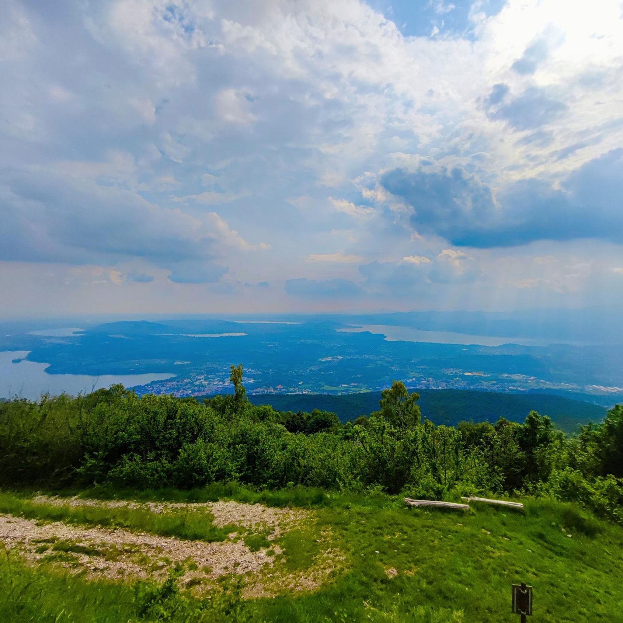
The Belvedere of Campo dei Fiori, located at 1,027 meters on the massif above Varese, offers a spectacular view of the Po Valley, the pre-Alpine lakes, and the Alpine arc. It is easily reachable on foot in about 10-15 minutes from Osteria Irma, an ideal spot for panoramic walks and excursions.
0
0

Panoramic viewpoint offering a beautiful view of the province, very close to parking lots and other points of interest (Grand Hotel, Scala nel Cielo etc.).
0
0

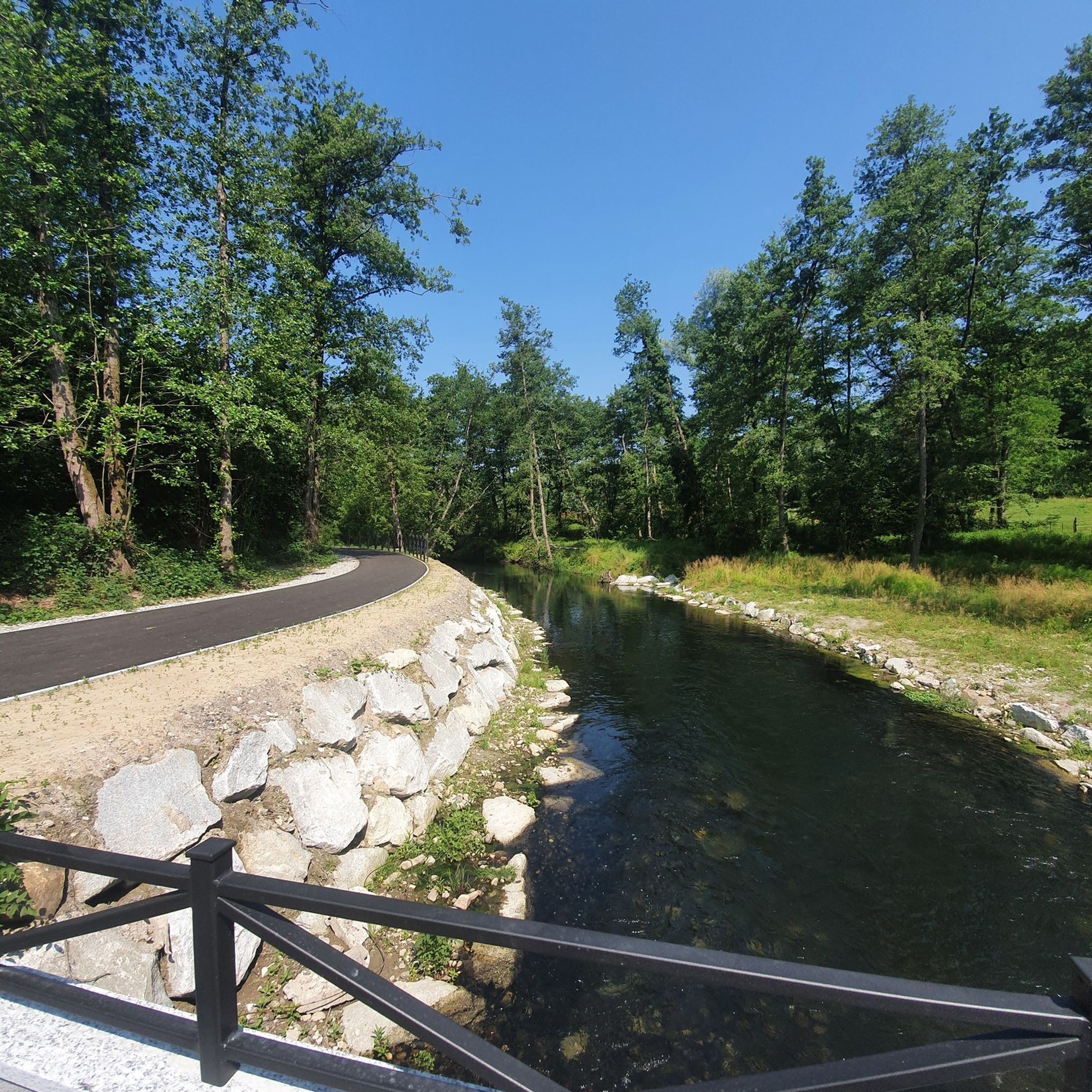
River that flows out of Lake Varese and into Lake Maggiore.
0
0
Following the path that leads out of the forest, you can see part of Lake Varese.
0
0

Following path 10 and signs for Pian delle Noci, you reach the refuge. It's a challenging and bumpy climb. Once at the refuge, you descend towards the Gesiola spring and return to path 10 towards the Orino fortress.
1
0

Lots of insects, poorly maintained trails Beautiful place
1
0

be careful the last 200m to get to the viewpoint are in pitiful condition, the "right" business card for one of the most beautiful panoramic points in the province.
1
0

Frequently Asked Questions
What types of hiking trails are available around Cocquio Trevisago?
Cocquio Trevisago offers a diverse range of hiking trails, catering to various skill levels. You'll find over 20 routes in total, including 6 easy trails perfect for a relaxed stroll, 11 moderate routes for a more engaging experience, and 3 difficult trails for experienced hikers seeking a challenge. The terrain often features mountainous landscapes, dense woodlands, and scenic views of the Varese lakes.
Are there any family-friendly hiking options in Cocquio Trevisago?
Yes, there are several easy trails suitable for families or those looking for a less strenuous walk. These routes often pass through woodlands and offer gentle elevation changes, making them enjoyable for all ages. For example, the area around the Lakeside picnic area on Lake Varese provides pleasant, accessible paths.
Can I bring my dog on the hiking trails in this region?
Many trails in the Cocquio Trevisago area are dog-friendly, allowing you to enjoy the natural beauty with your canine companion. It's generally recommended to keep dogs on a leash, especially in protected areas like the Parco del Campo dei Fiori, to protect local wildlife and ensure a pleasant experience for all hikers. Always carry water for your dog and clean up after them.
What natural attractions or landmarks can I discover while hiking near Cocquio Trevisago?
The region is rich in natural and historical attractions. You can hike to the historic Forte di Orino, which offers panoramic views of the Varese lakes. Trails like the Sculpture Trail to Forte di Orino from Cocquio Trevisago combine art with nature. Other notable sights include the Valganna Waterfalls and Caves, the Remeron Cave, and various viewpoints such as the View from Sasso del Ferro.
Are there any circular hiking routes available?
Yes, many of the trails around Cocquio Trevisago are designed as loop tours, allowing you to start and end at the same point without retracing your steps. A popular example is the From Cerro to the fort of Orino – loop tour, which offers a varied landscape and takes you to the historic fort.
What do other hikers enjoy most about the trails in Cocquio Trevisago?
The hiking trails in Cocquio Trevisago are highly rated by the komoot community, with an average score of 4.2 stars from over 300 reviews. Hikers frequently praise the diverse natural scenery, the well-maintained paths, and the stunning panoramic views, especially those overlooking the Varese lakes and from the Forte di Orino.
Is public transport available to access hiking trailheads?
While specific public transport links directly to every trailhead can vary, Cocquio Trevisago is part of the Lombardy region, which has a regional bus and train network. It's advisable to check local bus schedules for connections to smaller villages or starting points near the Parco del Campo dei Fiori. Many routes are also accessible by car, with parking often available near trailheads.
Where can I find parking near the hiking trails?
Parking is generally available in or near the villages that serve as starting points for the trails, such as Cocquio Trevisago itself or nearby hamlets like Cerro. For routes leading to popular destinations like the Forte di Orino, designated parking areas are often provided. Always look for signs or check local maps for specific parking information before you set out.
Do I need any permits to hike in the Cocquio Trevisago area?
Generally, no special permits are required for hiking on the established trails in the Cocquio Trevisago area or within the Parco del Campo dei Fiori. However, as the region is part of the Riserva della Biosfera Ticino Val Grande Verbano, it's important to respect local regulations, stay on marked paths, and avoid disturbing wildlife or natural habitats.
Are there any trails that lead to interesting historical or cultural sites?
Yes, several trails incorporate historical elements. The Sculpture Trail to Forte di Orino from Cocquio Trevisago leads to a historic Alpine fort. Additionally, the area features sites like the Sacro Monte of Varese and the Sanctuary of Santa Maria del Monte, which can be reached via hiking paths and offer cultural significance.
What is the best time of year to go hiking in Cocquio Trevisago?
The best time for hiking in Cocquio Trevisago is typically during spring (April to June) and autumn (September to October). During these seasons, the weather is mild, the landscapes are vibrant with blooming flowers or autumn colors, and the trails are generally in good condition. Summer can also be pleasant, especially at higher elevations, but be prepared for warmer temperatures.
Most popular routes around Cocquio Trevisago
Most popular attractions around Cocquio Trevisago

Get inspired with the komoot mobile app


Explore more
Browse the best Hikes in other regions.
