The best mountain hikes around Clivio
5.0
(3)
22
hikers
4
hikes
Mountaineering routes around Clivio are set within a hilly terrain in the Province of Varese, Lombardy, bordering Switzerland. This elevated position offers expansive views over the Mendrisio valley, Lake Lugano, and towards Monte Generoso. The region is characterized by diverse landscapes, including lush forests, alpine meadows, and significant peaks like Monte San Giorgio and Monte Generoso, providing varied terrain for mountaineering.
Best mountaineering routes around Clivio
- The most popular mountaineering route is Mountaineering loop from Melano, a 5.5 miles…
Last updated: June 28, 2026
5.0
(1)
9
hikers
13.6km
07:08
1,190m
1,190m
Hard mountaineering route. Very good fitness required. Sure-footedness, sturdy shoes and alpine experience required.
5.0
(1)
6
hikers
11.4km
06:38
1,150m
1,150m
Hard mountaineering route. Very good fitness required. Sure-footedness, sturdy shoes and alpine experience required.

Sign up for free
5.0
(1)
5
hikers
12.7km
05:28
790m
800m
Hard mountaineering route. Very good fitness required. Sure-footedness, sturdy shoes and alpine experience required.
2
hikers
11.7km
04:44
790m
790m
Moderate mountaineering route. Good fitness required. Mostly accessible paths. Sure-footedness required.
4.99km
02:06
350m
350m
Moderate mountaineering route. Good fitness required. Mostly accessible paths. Sure-footedness required.
Our route recommendations are based on thousands of hikes, rides, and runs completed by other people on komoot.
Start today with a free account
Your next adventure awaits.
Login or Signup
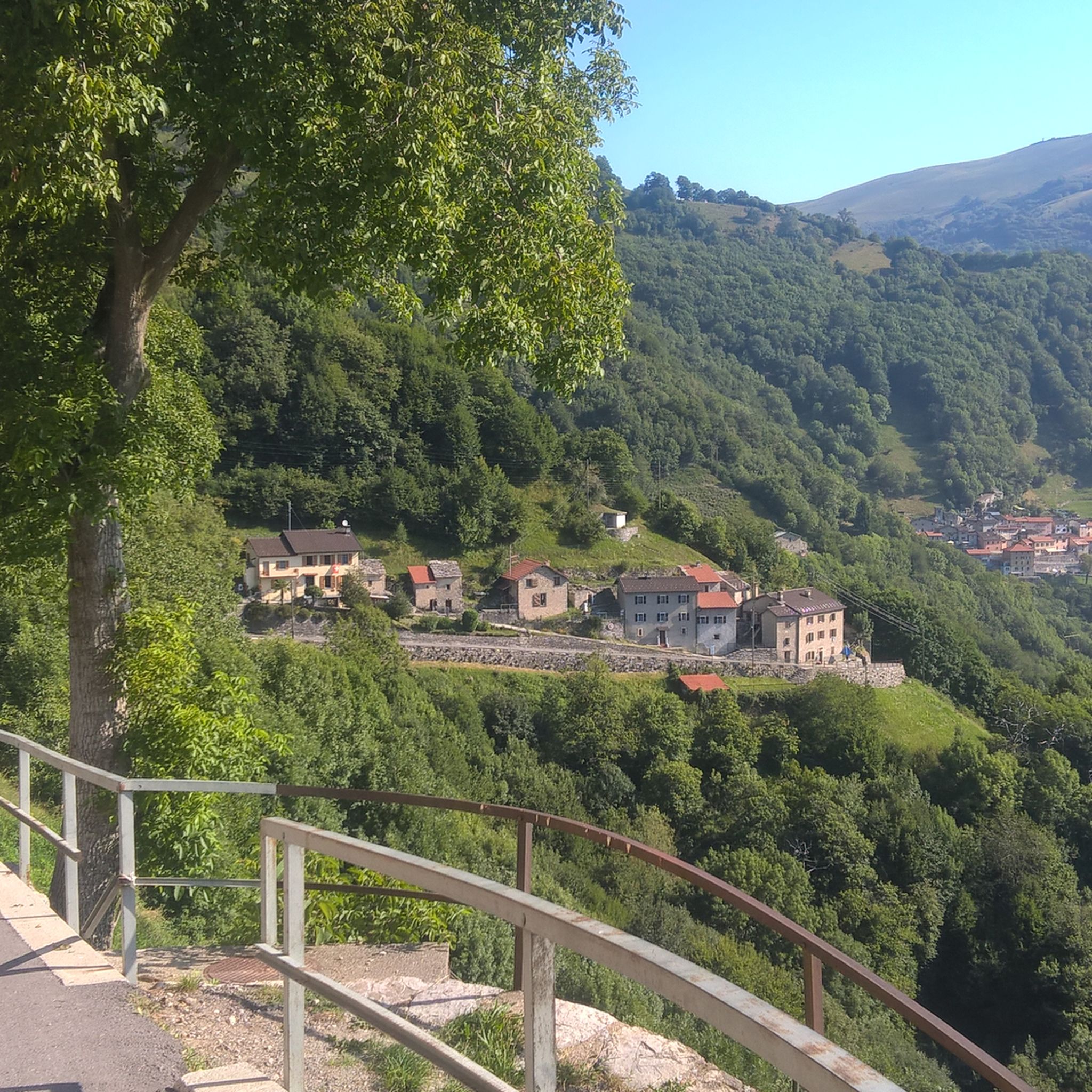
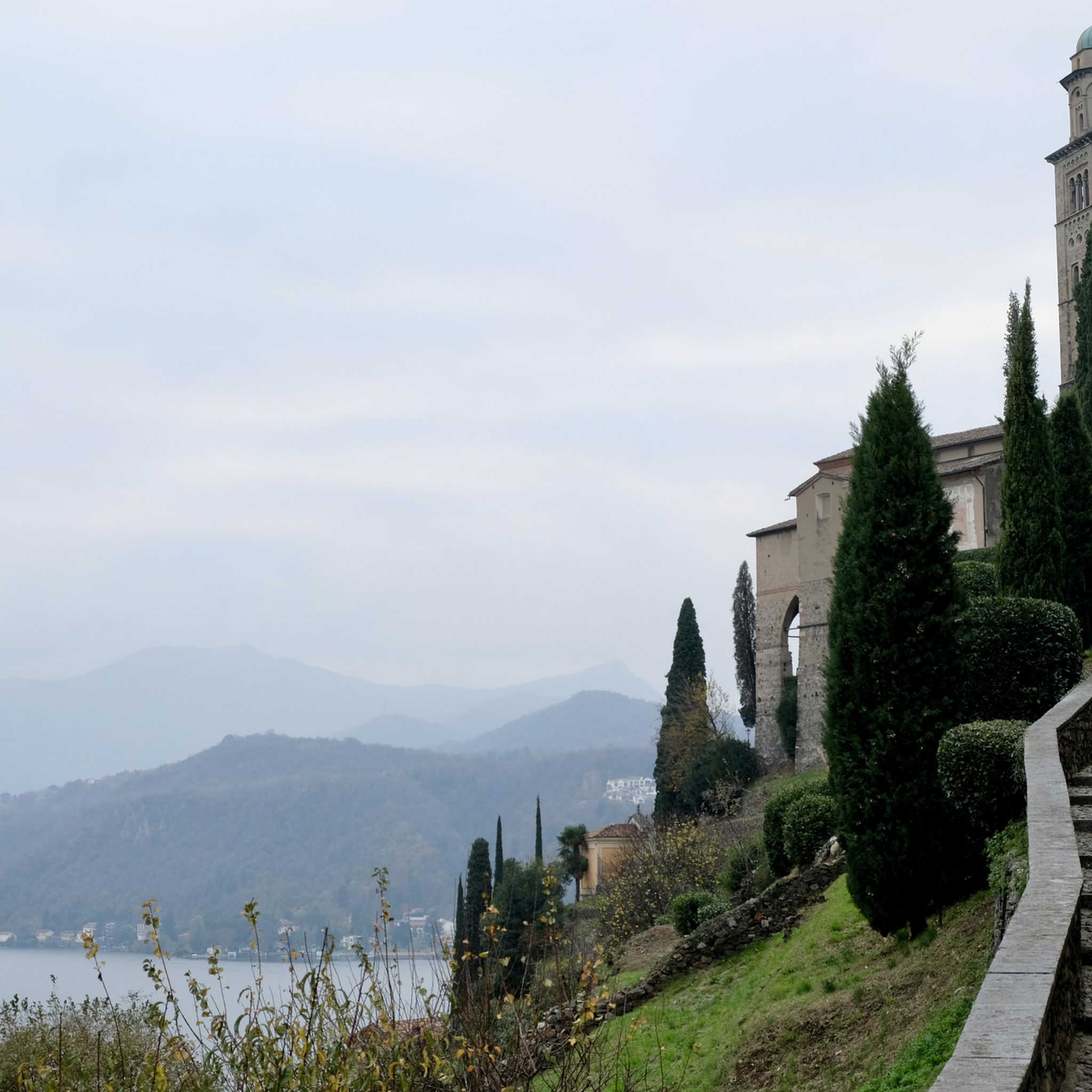
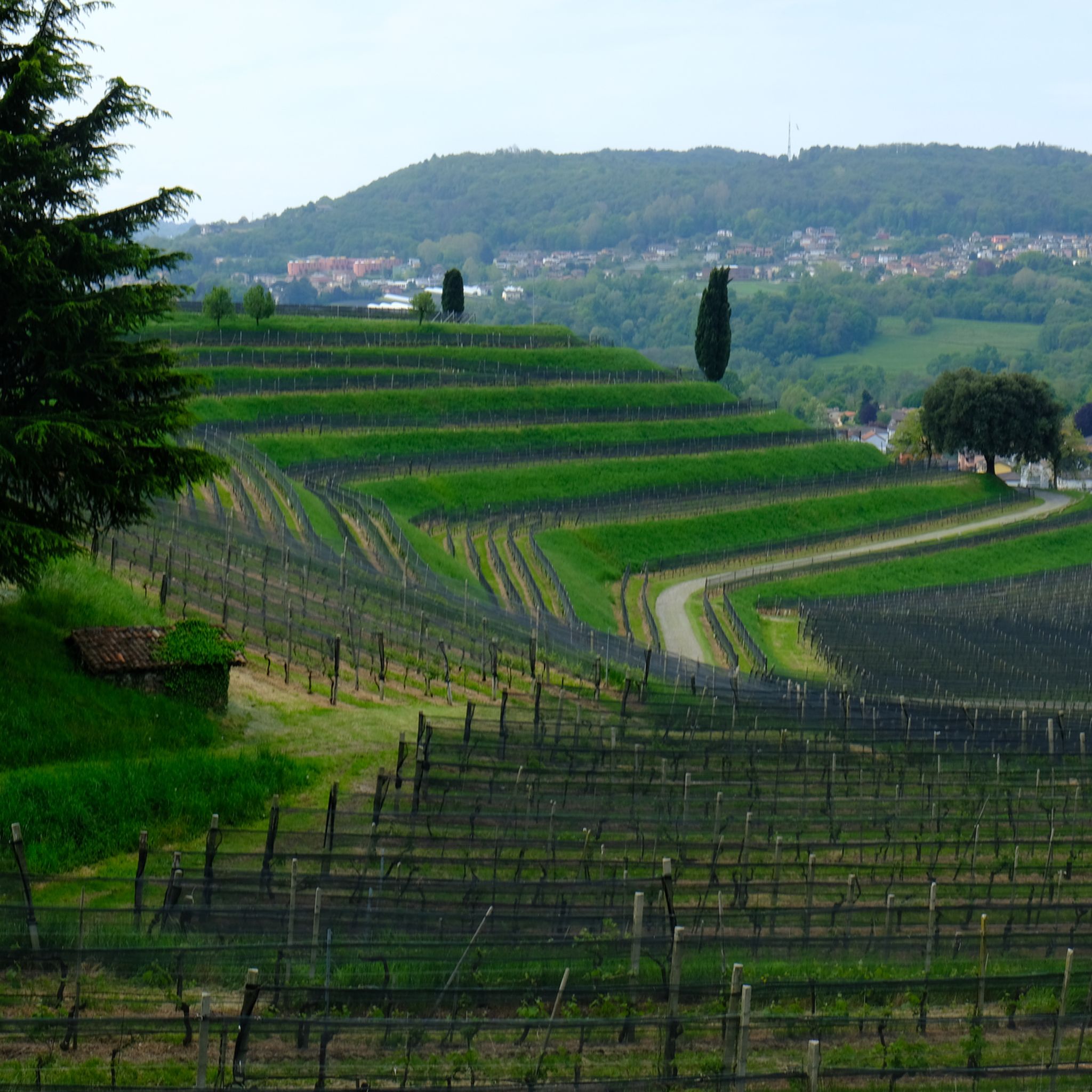
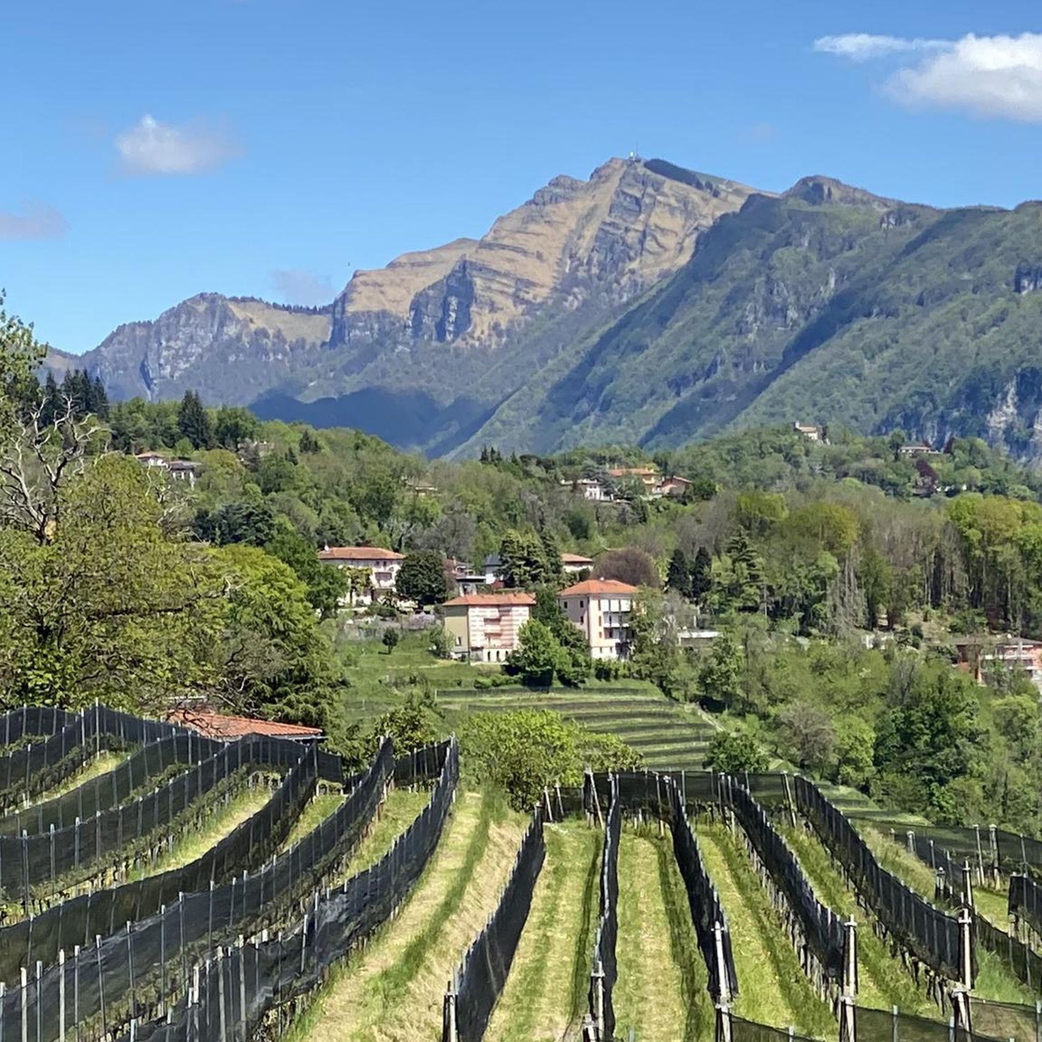
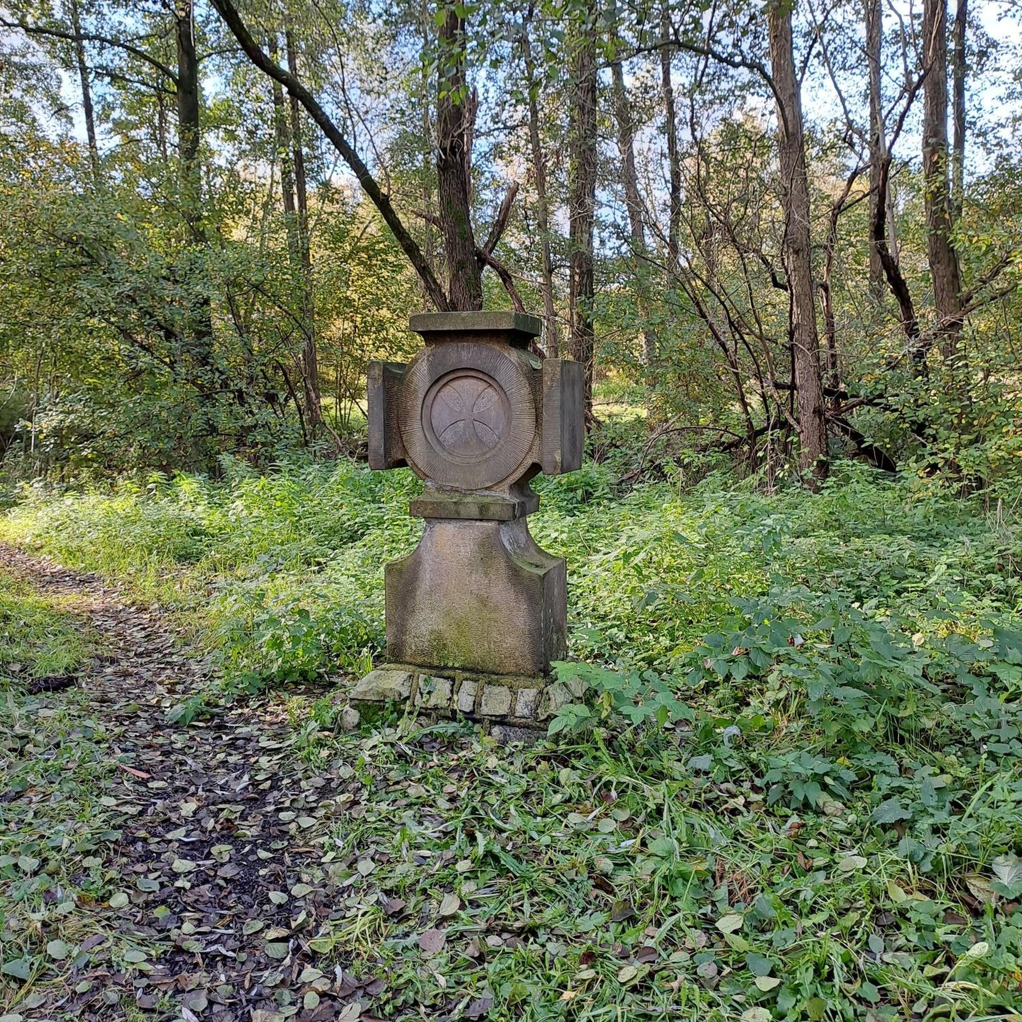
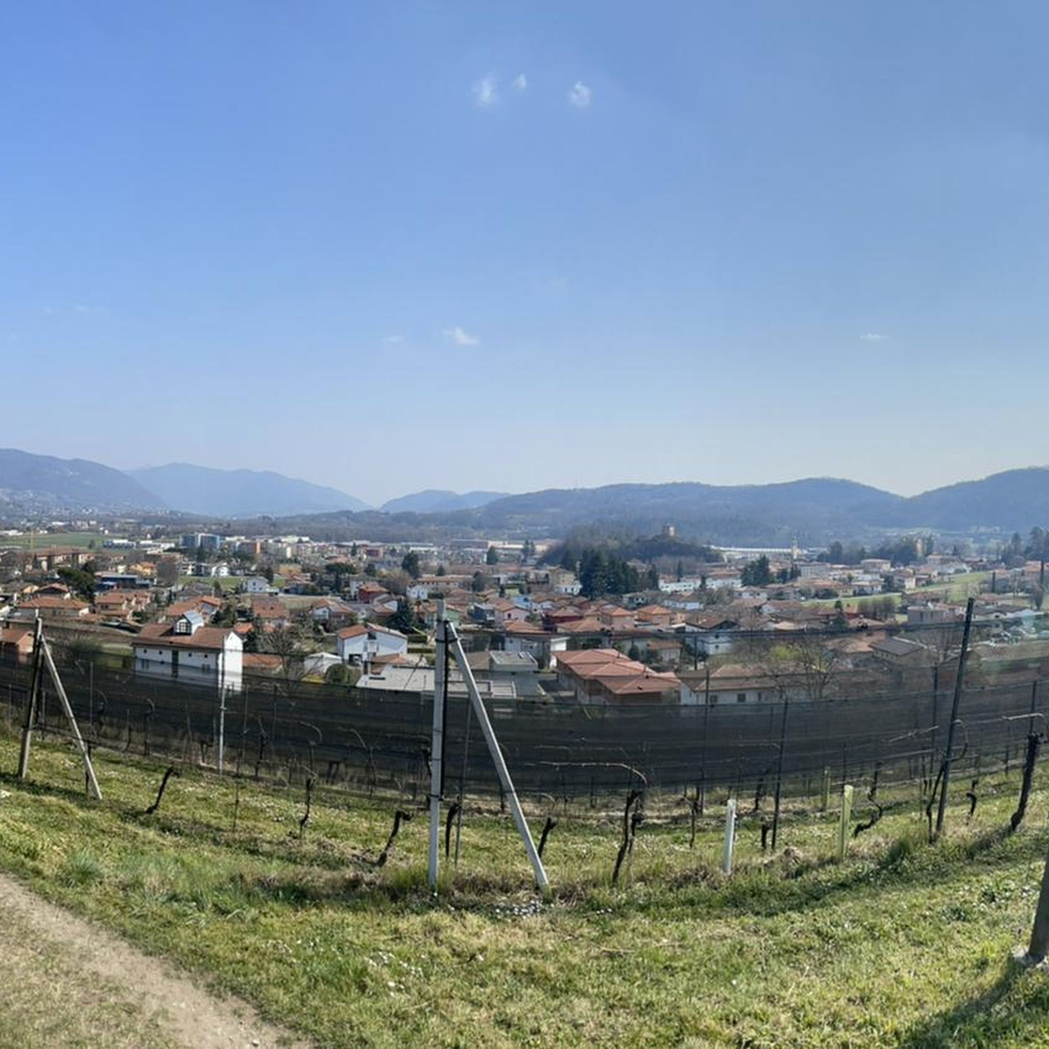
Tips from the Community

pretty here, very pretty
0
0
pretty here, very pretty
0
0
pretty here, very pretty
0
0
pretty here, very pretty
0
0
pretty here, very pretty
0
0

It should be noted that with a road bike you risk puncturing or damaging a tire, very sharp stones. Furthermore, walking with the bike by hand for 1.5km and with road cycling shoes, you risk falling several times...
0
0

This church has been entrusted to the local community not by one of the (almost countless) saints, but by "Santa Croce" (the Holy Cross). Perhaps a brief stop here is the perfect opportunity for hikers and walkers to offer a short meditation and a prayer to God. I would therefore like to invite you to prayerfully contemplate God's infinite love for us, revealed in Christ nailed to the wood of the cross. Perhaps a saying by the Spanish founder of the religious order, Ignatius of Loyola (1491-1556), might be helpful: "It is precisely where human hopes fall lowest that trust in God rises highest. For where all human help gives way, there divine help takes its place."
0
0
Frequently Asked Questions
What types of mountaineering routes can I find around Clivio?
Clivio offers a diverse range of mountaineering routes, from moderate ascents to more challenging alpine paths. The terrain is characterized by hilly landscapes, lush forests, and alpine meadows, providing varied experiences for different skill levels. You can explore routes like the Mountaineering loop from Melano, which is a moderate 5.5-mile trail offering scenic views.
Are there challenging mountaineering routes in the Clivio area?
Yes, for those seeking a more demanding experience, Clivio features difficult mountaineering routes. An example is the View of Lake Lugano – Monte Generoso Alpine Route loop from Val Mara, a challenging 6.9-mile path that provides extensive views of Lake Lugano and ascends towards Monte Generoso. Another difficult option is the Bocchetta d'Orimento loop from Monte Generoso, which covers 7.8 miles through alpine terrain and forests.
What natural landmarks or viewpoints can I discover on these routes?
The mountaineering routes around Clivio offer stunning natural landmarks and panoramic viewpoints. You can enjoy expansive vistas over the Mendrisio valley, Lake Lugano, and towards Monte Generoso. The region is home to Monte San Giorgio, a UNESCO World Heritage site known for its geological significance. For specific viewpoints, consider the View of Lake Lugano from Monte San Giorgio.
Are there any waterfalls along the mountaineering trails?
Yes, the region around Clivio features beautiful waterfalls. One notable example is the Rio Valleggia waterfall, which can be found along the Valle Verde trail. Additionally, you might encounter the Waterfall and Panoramic Terrace of Val Mara or the Valganna Waterfalls and Caves in the broader area.
When is the best time of year for mountaineering around Clivio?
The best time for mountaineering around Clivio is generally during the spring, summer, and autumn months when the weather is milder and trails are clear of snow. These seasons offer pleasant temperatures for exploring the diverse landscapes, from lush forests to alpine meadows. While some routes might be accessible in winter, conditions can be challenging and require specialized gear and experience.
Can I find circular mountaineering routes in Clivio?
Yes, many mountaineering routes around Clivio are designed as loops, allowing you to start and end at the same point. Examples include the Mountaineering loop from Melano and the Mountaineering loop from Meride. These circular paths offer convenient ways to explore the region's natural beauty.
Are there places to eat or rest near the mountaineering trails?
Yes, you can find options for refreshments and rest near some of the mountaineering trails. For instance, on Monte Generoso, you'll find the 'Fiore di Pietra' panoramic restaurant. Other options in the broader area include the Vicania Restaurant and Osteria La Peonia, which can be convenient stops during or after your hike.
What do other mountaineers enjoy the most about mountaineering in Clivio?
The mountaineering routes in Clivio are highly rated by the komoot community, with an average score of 5.0 stars from 4 reviews. Reviewers often praise the stunning panoramic views, the varied terrain that caters to different skill levels, and the opportunity to explore significant peaks like Monte Generoso and Monte San Giorgio. The region's natural beauty and well-maintained trails are frequently highlighted.
Are there any historical sites or unique attractions along the routes?
Beyond the natural beauty, the Clivio area offers historical and unique attractions. The River Lanza (Clivio stream) features historic mills, such as the Mulino Di Sopra, dating back to 1550. Monte San Giorgio is a UNESCO World Heritage site renowned for its fossil deposits. You might also encounter the Punt da Canaa Stone Bridge, adding a touch of history to your outdoor adventure.
Is public transport available to reach the starting points of these routes?
While specific public transport details for every trailhead are not provided, Clivio's location bordering Switzerland means there are often regional bus services connecting villages. For Monte Generoso, a cogwheel railway provides access to the summit, which can be a starting or ending point for various trails. It's advisable to check local transport schedules for the specific starting point of your chosen route.
Are dogs allowed on the mountaineering routes around Clivio?
Generally, dogs are welcome on many hiking and mountaineering trails in the Clivio region, especially in natural park areas like Campo dei Fiori Regional Nature Park. However, it's always recommended to keep them on a leash, especially in areas with wildlife or near livestock, and to check for any specific local regulations or restrictions for individual routes or protected areas before you go.
What is the typical duration for mountaineering routes in Clivio?
The duration of mountaineering routes in Clivio varies significantly based on distance and difficulty. Moderate trails, like the Scavo della Cassina loop from Capolago - Riva San Vitale (7.3 miles), can take around 4 hours 45 minutes. More difficult and longer routes, such as the 7.8-mile Bocchetta d'Orimento loop from Monte Generoso, might require over 5 hours to complete.
Most popular attractions around Clivio

Get inspired with the komoot mobile app


Explore more
Browse the best Mountain Hikes & Routes in other regions.
