The best MTB trails around Teuschnitz
4.8
(95)
181
riders
24
rides
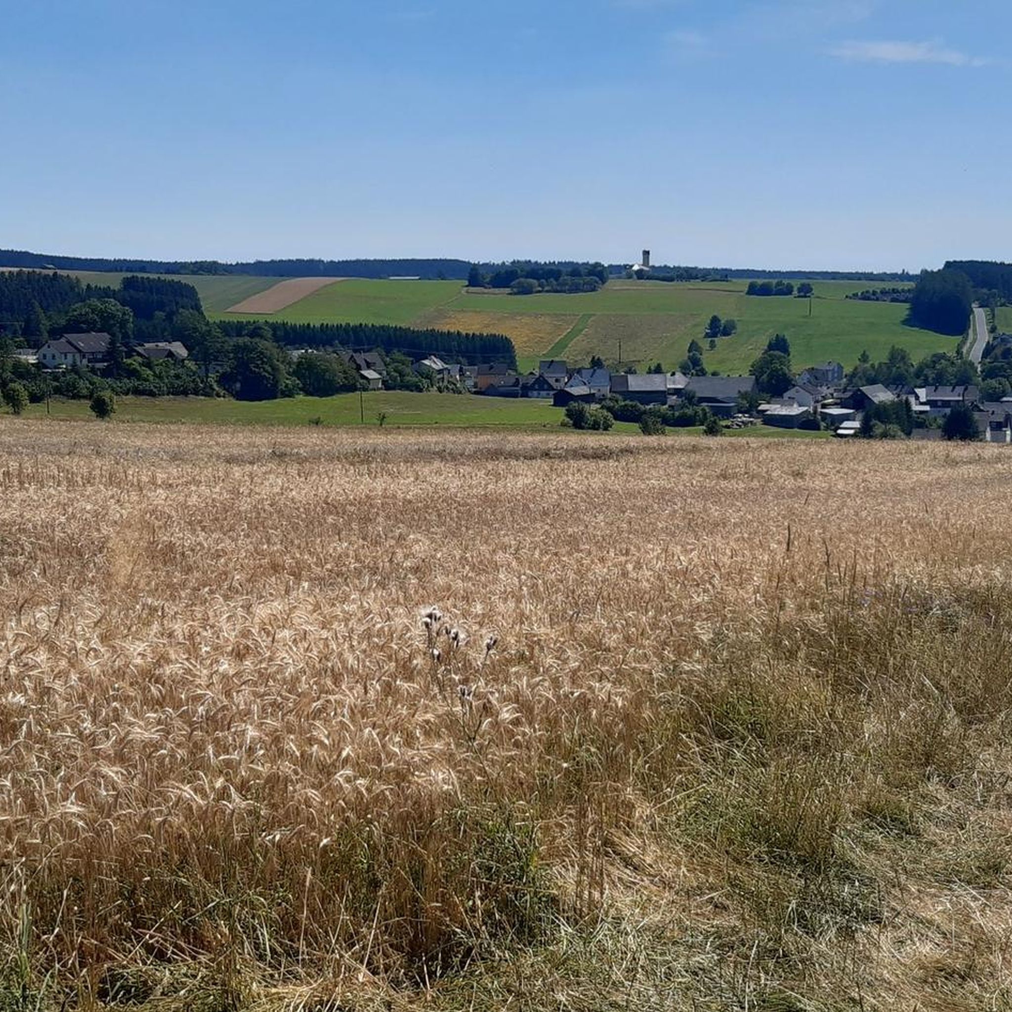
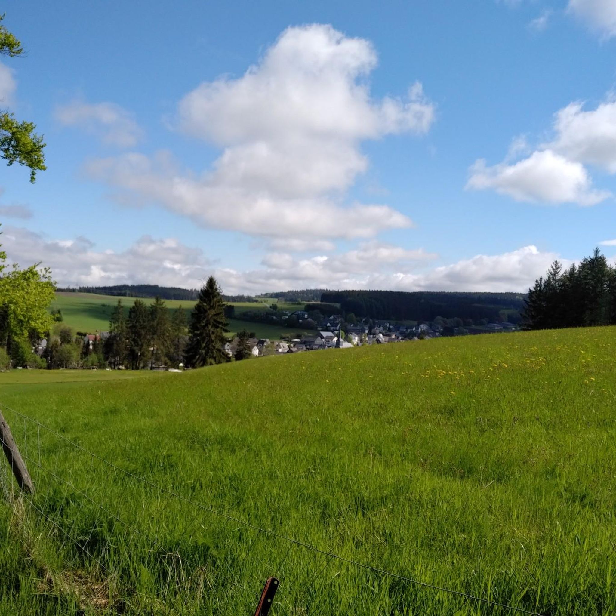
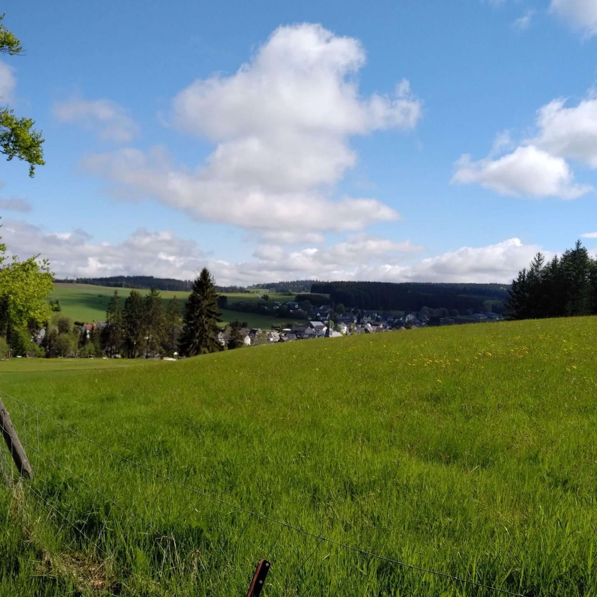
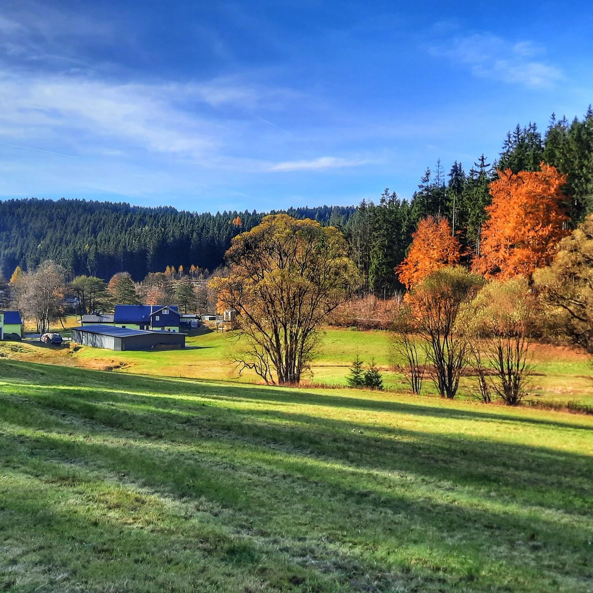
Mountain biking around Teuschnitz offers access to a network of trails within the Franconian Forest, characterized by rolling hills and extensive woodlands. The region features natural valleys like Dober and Kremnitz, providing varied terrain for mountain bikers. The landscape includes the Teuschnitz-Aue protection area and the Ködeltalsperre, a large reservoir with a surrounding path. This area provides a mix of forested paths and open sections suitable for different skill levels.
Best mountain bike trails around Teuschnitz
- The most popular mountain…
Last updated: August 6, 2026
4.4
(30)
46
riders
47.8km
03:00
590m
590m
Moderate mountain bike ride. Good fitness required. Advanced riding skills necessary.
4.5
(19)
37
riders
29.4km
02:06
450m
450m
Moderate mountain bike ride. Good fitness required. Suitable for all skill levels.

Sign up for free
4.7
(15)
16
riders
17.7km
01:25
180m
190m
Moderate mountain bike ride. Great for any fitness level. Advanced riding skills necessary.
4.7
(6)
13
riders
21.4km
01:33
260m
260m
Moderate mountain bike ride. Great for any fitness level. Advanced riding skills necessary.
5.0
(8)
11
riders
24.7km
01:47
320m
320m
Moderate mountain bike ride. Good fitness required. Advanced riding skills necessary.
Get access to more routes and recommendations from other explorers.
Sign up for free
Already have an account?
Our route recommendations are based on thousands of hikes, rides, and runs completed by other people on komoot.
Start today with a free account
Your next adventure awaits.
Login or Signup



Tips from the Community

The "Red Tower" is not a brick tower, but a red-painted tree stump at a historic crossroads of the Rennsteig. It is the destination of the approximately seven-kilometer circular hiking trail Roter-Turm-Weg R 31.
10
0

I wouldn't have expected this watershed here.
0
1

The Schönwappenweg on the Rennsteig is an approximately one-kilometer section between Steinbach am Wald and Brennersgrün with various historical, coat-of-arms-adorned boundary stones that once separated the Prince-Bishopric of Bamberg from the Electorate of Saxony. Later, they marked the inner-German border, and today they mark the border between two federal states.
1
0
The Dreiwappenstein am Kießlich (also known as Dreiherrenstein am Kießlich) is a historical boundary stone from 1717. It marks, as state border stone No. 634, the triple border point of former historical territories on the current state border between Bavaria and Thuringia.
1
0

Nice for cycling, nice for running, Also easily doable with a touring bike Recommended not only for the locals of Wickendorf and Teuschnitz. In good weather conditions, there are views in all directions as it is quite high up. Not recommended in rain, thunderstorms, and strong winds, as it is quite exposed.
0
0

Remains of the border facilities in Heinersdorf
0
0
The historic customs house on the border between Bavaria and Thuringia near Kleintettau (Markt Tettau) is a reconstructed historic customs station. It is located directly on the legendary Rennsteig hiking trail on the so-called Schildwiese. Today, the small building serves as a historical site and border memorial, commemorating the decades-long inner-German division.
2
0
The park is located directly on the Rennsteig, on Rennsteigstraße in front of the railway embankment and the bridge. Here, two figures point to the special situation on the Rennsteig: because the bridge is a symbol of the connection and togetherness of Bavaria and Thuringia.
1
0
Frequently Asked Questions
How many mountain bike trails are available around Teuschnitz?
There are 26 mountain bike trails around Teuschnitz. These include 4 easy routes and 22 moderate routes, offering a good variety for different skill levels. No difficult trails are recorded in the area.
What kind of terrain can I expect on mountain bike trails in Teuschnitz?
Mountain biking around Teuschnitz is characterized by rolling hills, dense woodlands, and natural valleys like the Dober and Kremnitz. You'll find a mix of forested paths and open sections, providing varied terrain suitable for easy and moderate ability levels.
Are there any family-friendly mountain bike trails in Teuschnitz?
Yes, Teuschnitz offers several routes suitable for families. For an easier option, consider the Dreiherrenstein at Kießlich loop from Reichenbach, which is rated as easy and covers 21.6 km. The region's trails generally avoid difficult sections, making them accessible for various ages.
What are the best times of year for mountain biking in Teuschnitz?
The best seasons for mountain biking in Teuschnitz are spring and autumn. During these times, the mild temperatures and vibrant colors of the Franconian Forest create an inviting atmosphere for outdoor activities. While winter biking is possible, conditions can be more challenging due to weather.
Are there any circular mountain bike routes in Teuschnitz?
Yes, many of the mountain bike routes in Teuschnitz are circular. For example, the Tettautal Cycle Path – Red Tower Marker loop from Teuschnitz is a popular 47.8 km circular route. Another great option is the Ölschnitzsee Near Windheim – Ölschnitzsee loop from Haßlach, covering 29.3 km.
What natural features or viewpoints can I see along the mountain bike trails?
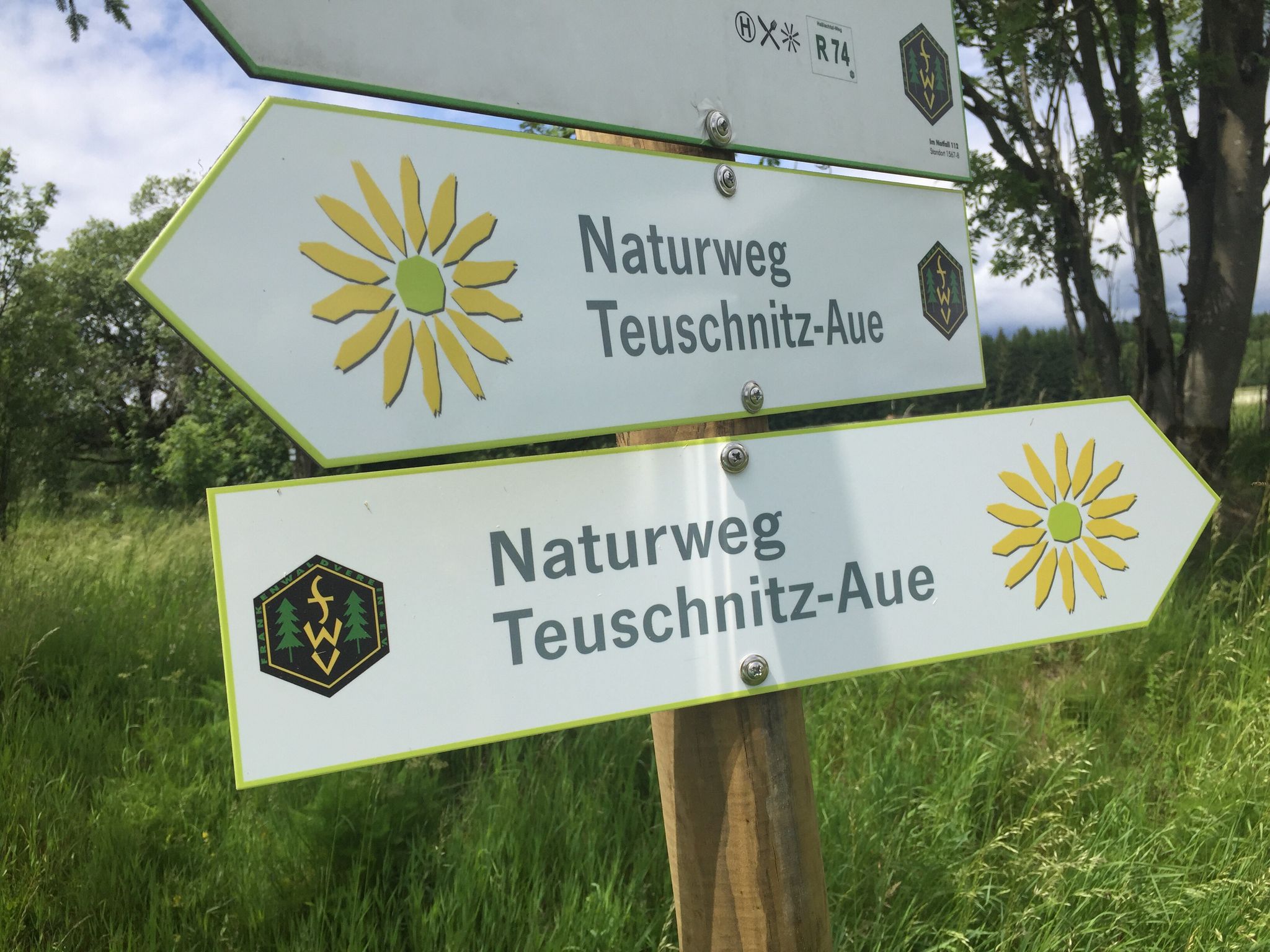
The trails often lead through the extensive woodlands of the Franconian Forest. You can explore the Teuschnitz-Aue landscape protection area, known for its Arnica and medicinal herbs. The Ködeltalsperre (Ködel Reservoir), also known as the "Fjord of the Franconian Forest," is a prominent feature with a scenic path around it. You might also encounter the natural valleys of Dober and Kremnitz.
Are there places to eat or drink along the mountain bike routes?
Yes, there are options for refreshments. The region has several huts and restaurants. For example, you might find places like the 🍺 Ölschnitz Hut or Bastelsmühle. Teuschnitz itself has a charming historic old town center with a spacious market square, likely offering further dining choices.
What do other mountain bikers enjoy most about Teuschnitz?
The mountain bike routes in Teuschnitz are highly rated by the komoot community, with an average score of 4.8 stars from over 80 reviews. Reviewers often praise the varied terrain, the peaceful atmosphere of the Franconian Forest, and the well-maintained paths that cater to both easy and moderate skill levels.
Are there any notable landmarks or attractions near the mountain bike trails?
Yes, beyond the natural beauty, you can explore several attractions. The Göpelschacht Shaft Complex and the Lehesten Slate Quarry Industrial Heritage Site offer insights into local history and nature. The Ködel Reservoir is also a significant landmark, being one of Bavaria's largest drinking water reservoirs.
Is Teuschnitz accessible by public transport for mountain bikers?
While specific public transport options directly to trailheads for mountain bikers might vary, Teuschnitz is a town within the Franconian Forest. For detailed information on public transport connections to Teuschnitz and surrounding areas, it's advisable to check local transport schedules.
Are dogs allowed on the mountain bike trails in Teuschnitz?
The Franconian Forest region generally welcomes dogs on trails, especially in natural areas. However, it's always recommended to keep dogs on a leash, particularly in protected areas like the Teuschnitz-Aue landscape protection area, and to be mindful of other trail users and wildlife.
Where can I find parking for mountain biking in Teuschnitz?
Parking is generally available in and around Teuschnitz, especially near trailheads or in the town center. Many routes start from accessible points, and specific parking information can often be found on individual route pages on komoot, such as for the Ancient Beech Tree – View of Staffelberg loop from Reichenbach.
Most popular routes around Teuschnitz
Most popular attractions around Teuschnitz

Get inspired with the komoot mobile app


Explore more
Browse the best MTB trails in other regions.
